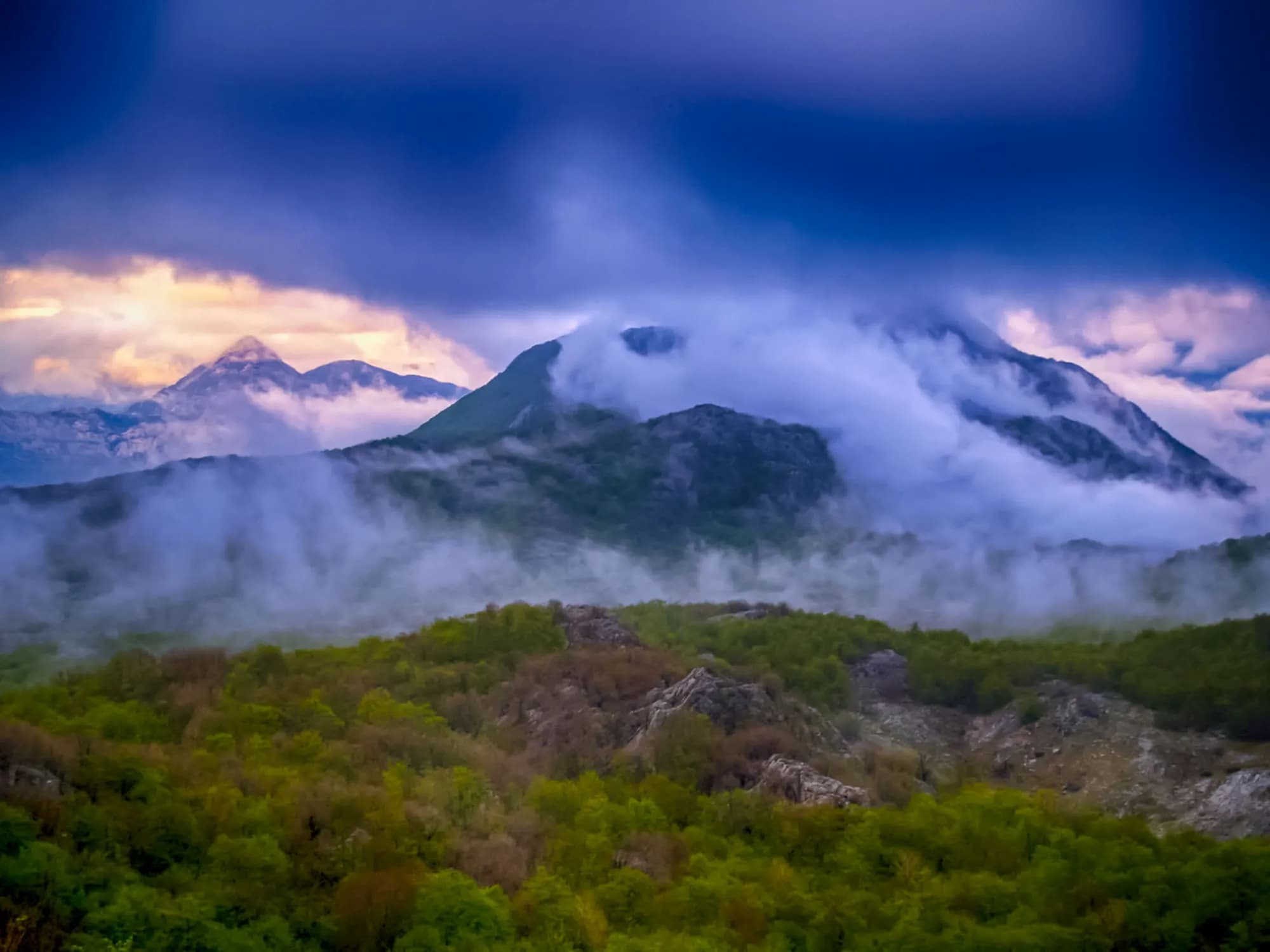
Orjen
Mount Orjen rises straight out of the coast behind Herceg Novi, reaching 1,894 metres at Zubački kabao and making it the highest massif in the coastal Dinaric Alps. From the water it reads as a single grey wall; up close it breaks into a maze of karst — sinkholes, limestone pavements, deep shafts and pockets of meadow — with the border of Bosnia and Herzegovina running along its northern flank. It is a mountain of extremes standing barely ten kilometres from Adriatic beaches. Orjen is among the wettest places in Europe. The hamlet of Crkvice on its slopes has recorded some of the highest annual rainfall on the continent, and snow lies in shaded hollows well into summer while the coast below bakes. All that water vanishes immediately into the rock, leaving no rivers or springs on the surface but feeding a remarkable density of plant life: beech and black pine, endemic species found nowhere else, and hillsides of wildflowers in May and June. Walkers find a network of routes rather than one path. Old Austro-Hungarian military roads and the ruined barracks at Crkvice date from the early twentieth century, when the empire fortified the heights above the Bay of Kotor, and they still make the easiest lines of approach; the long-distance Via Dinarica trail crosses the massif. From the summit ridge the view runs across the whole bay and the open Adriatic on one side and, inland, over ridge after ridge of Herzegovinian karst. Trails start from Herceg Novi, Kameno and the Vrbanj plateau. Orjen suits experienced hikers rather than casual strollers: the karst is rough underfoot, marking varies, fog rolls in fast, and there is no water to be had, so everything must be carried up. May to October is the season, with early summer best for flowers and late September for clear air and the longest views.
No posts found.
View all posts