From the ArchivesCreated May 17, 2016Updated June 28, 20263 min readby Pavle Obradović
Andrijevica, Montenegro
Andrijevica is located almost 800 meters above sea level, in the northeast of Montenegro. It is 17 km away from Beran (see it), Plava 30 km (see it), Gusinja 42 km (see it), Bije
Andrijevica, Montenegro
Andrijevica is located almost 800 meters above sea level, in the northeast of Montenegro. It is 17 km away from Beran (see it), Plava 30 km (see it), Gusinja 42 km (see it), Bijelo Polje 53 km (see it) and Podgorica – about 100 km...
The above information is welcome to anyone who comes to Andrijevica from any direction, with a map in hand or equipped with modern positioning devices.
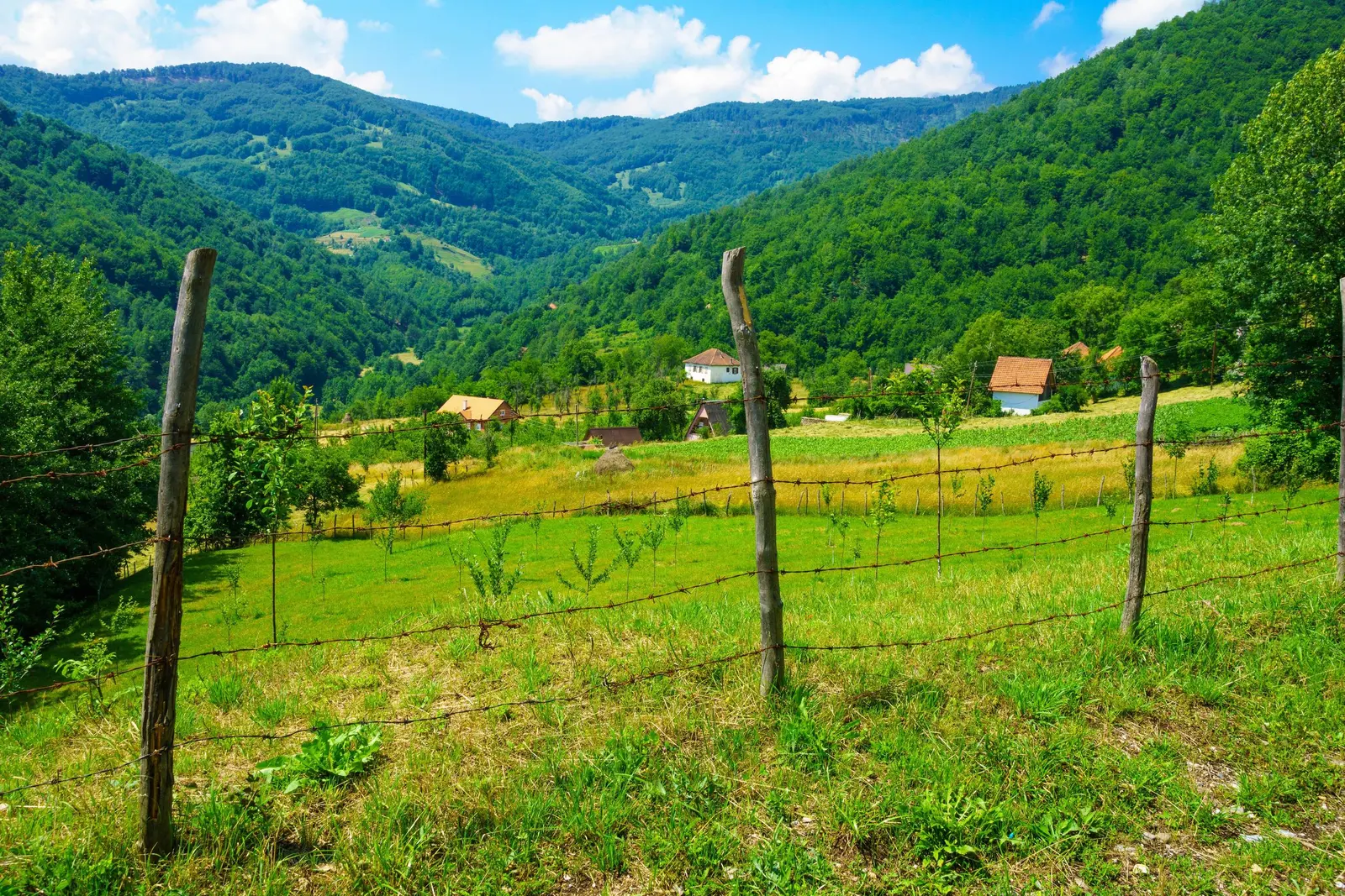
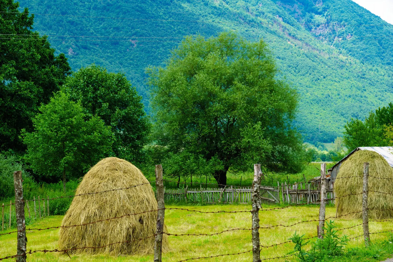
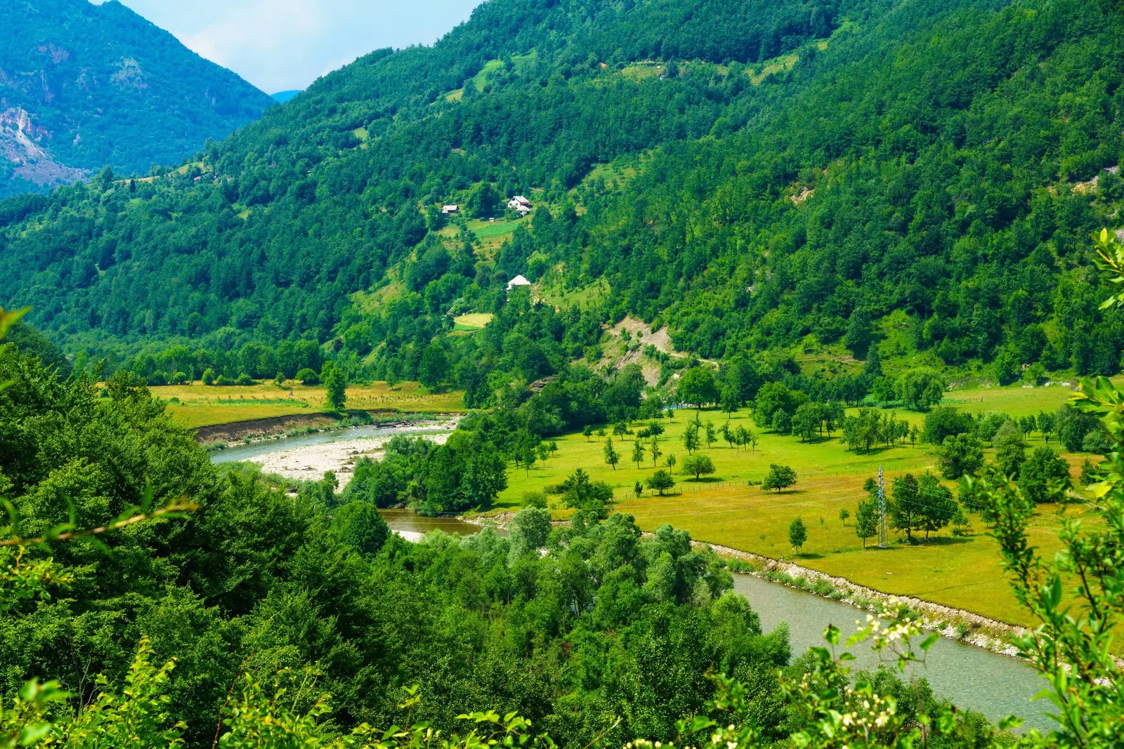
A more beautiful and picturesque positioning would be the one according to which Andrijevica is located along the left bank of the Lim, a river that makes its way between hills and fertile lowlands on its way from Lake Plav. Beech and fir forests spread all around, precisely those that give Andrijevica its typical, picturesque appearance.
The small town was named after the Andrijevica church, around which a settlement began to grow in 1877. According to another version, the settlement was built by Andrija Kršikap at an altitude of 798 meters, although there is not much relevant information about him as the founder.
Andrijevica is today the center of the municipality of the same name, a local administrative, cultural and economic center. And at first glance, it is a typical mountain town. The architecture is similar to those models from the past, which gives the place a special charm of the past. Here, we really cannot shake the impression that, although exact science claims otherwise, local time still lasts longer in some geographical positions.
That time paradox should definitely be kept in mind when we are on vacation! In this sense, Montenegro is privileged because it is full of geographical places where vacations can gain time, metaphorically speaking. Honestly, let's not be fooled: while somewhere the 21st century is rapidly progressing, there are positions on Earth where it is barely the 20th century. If not in the economic sense, in the touristic-ecological sense - it can certainly be a compliment to Andrijevica and Montenegro!
Anyway, steep cliffs full of streams descend to the place, and flow into Lim - the Kraljštica and Zlorečica rivers. After the Second World War, the settlement began to exist economically in the modern sense of the word. Fruit growing and agriculture are developing. On the slopes of the Željavice hill, in the nearby village of Zabrđa (5 km), rich deposits of colorful marble were discovered. Of all the industrial plants, few remain to this day. The remaining undisplaced rural population is mainly engaged in animal husbandry and agriculture. Andrijevica is one of the poorest municipalities in Montenegro.
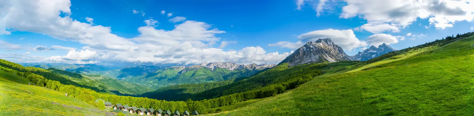
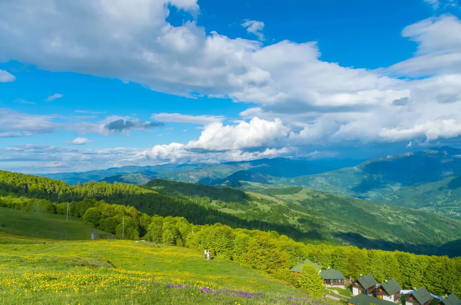
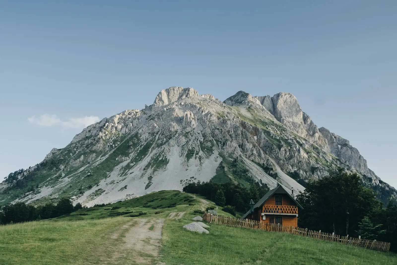
The surroundings of the place seem destined for the status of an air spa. From here, you can go on mountain tourist tours to Visitor, Bjelasic and Komovo - the mountain crown. The ecologically untouched crown of Komovo is interspersed with scattered pastures, forests, steep cliffs and valleys. The massif contains quartz layers that emerge on the surface and in some places contain ore ingredients. From the heights of Komova, the view spreads towards Durmitor and Pokletija (see Gusinje).
There is an ecological surprise in the massif - Visitor lake, which is reached by narrow mountain paths.
Andijevica is the center of the numerous (and celebrated throughout the history of fighting for freedom) Vasojević tribe. In the town there is a historic Knjaževac with a church - a spiritual meeting place for all Vasojevićs. A monument was erected here to the priest Mojsi Zečević, a famous advocate of education among Montenegrins, who, according to many interpreters, served as a prototype for the ruler and poet Petar II Petrović Njegoš, when he used his verses to build the immortal image of Abbot Stefan in the famous song "Mountain Wreath".
We may earn a commission from partner links. This helps us keep Montenegro.com free for travelers.
Written by
Pavle Obradović
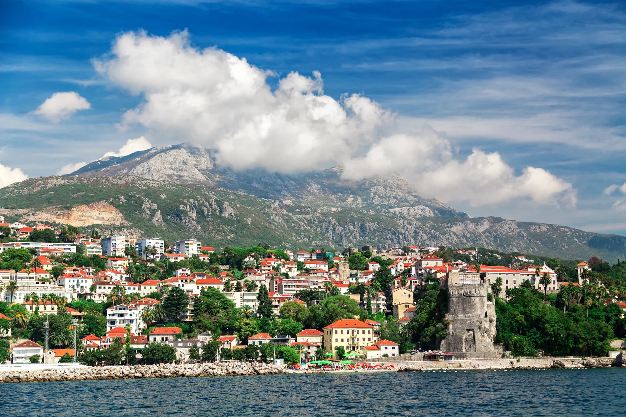
Pavle Obradović is from Herceg Novi. He was Manager of Montenegro.com, then Director of the Herceg Novi Tourism Organization, and is now Coordinator for Investment and Development Projects at the Municipality of Herceg Novi. He holds a BSc in International Hospitality and Service Management from the Rochester Institute of Technology (RIT).