Za Vidici
13 od šesnaest lokacija u atlasu, u redu kojim ih atlas i vodi — prvo izabrane, pa po visini.
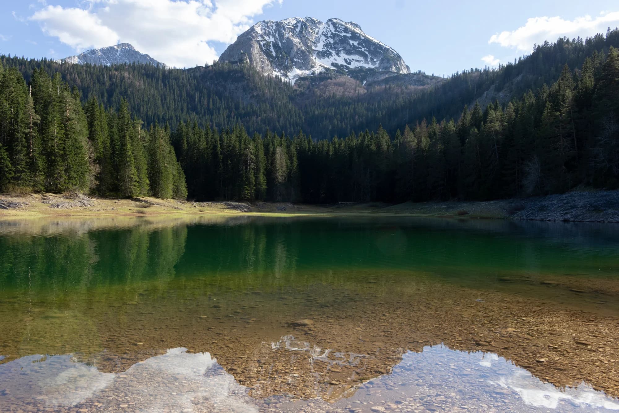
Br. 1 · Nacionalni park · 2.523 m
Durmitor
Snijeg na 69% januarskih dana
The massif that made Montenegro a mountain country: forty-eight summits over 2,000 m around a plateau of glacial lakes, inscribed by UNESCO in 1980.
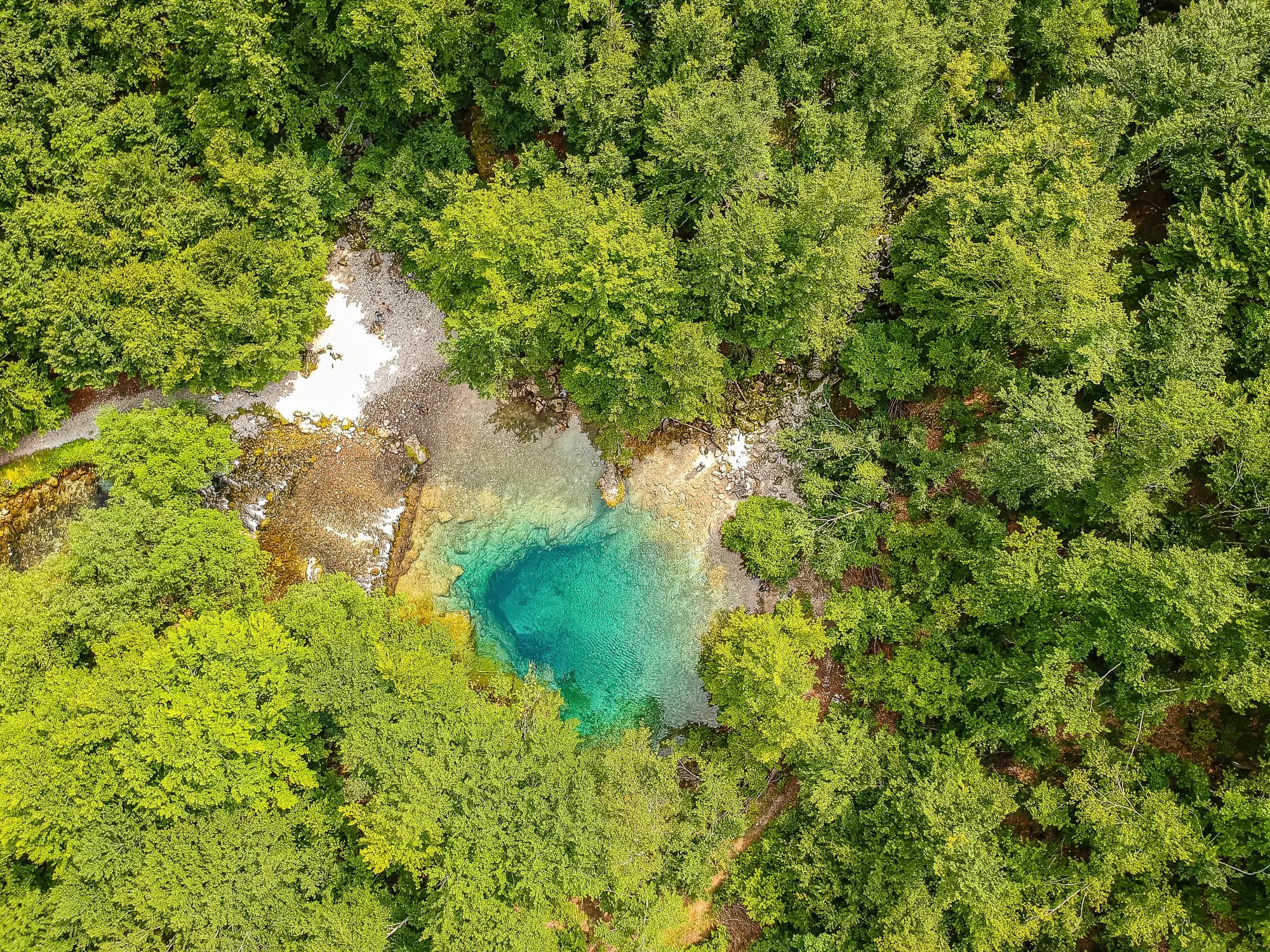
Br. 2 · Nacionalni park · 2.535 m
Prokletije
Snijeg na 71% januarskih dana
The most alpine ground in the country and the least visited: limestone walls above the Grebaje and Ropojana valleys, and Montenegro’s highest summit, Zla Kolata at 2,535 m, on the Albanian border.
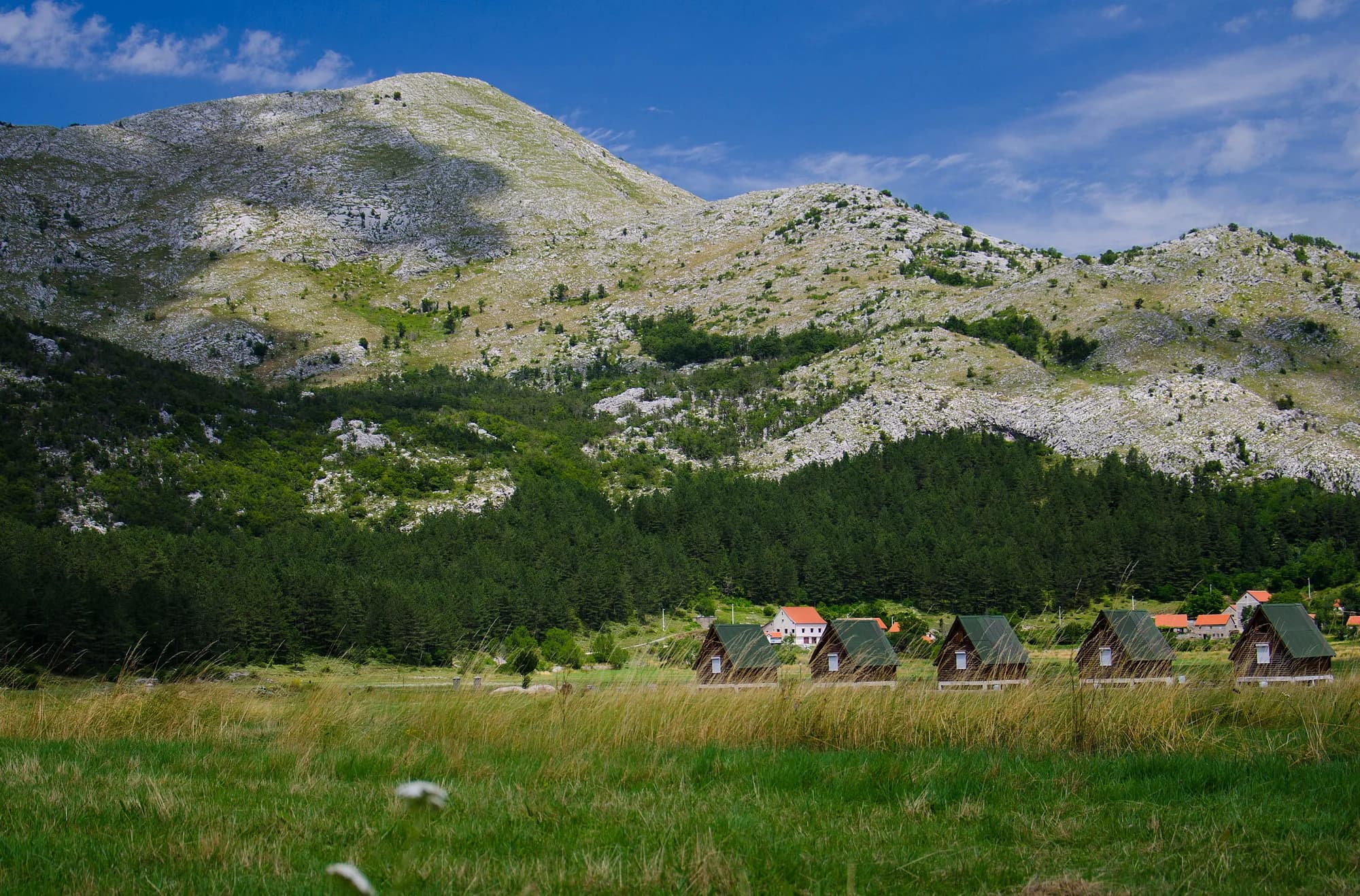 U blizini, nije vrh
Br. 3 · Nacionalni park · 1.749 m
Lovćen
The black mountain the country is named after, and the one every visitor sees from the Kotor serpentines.
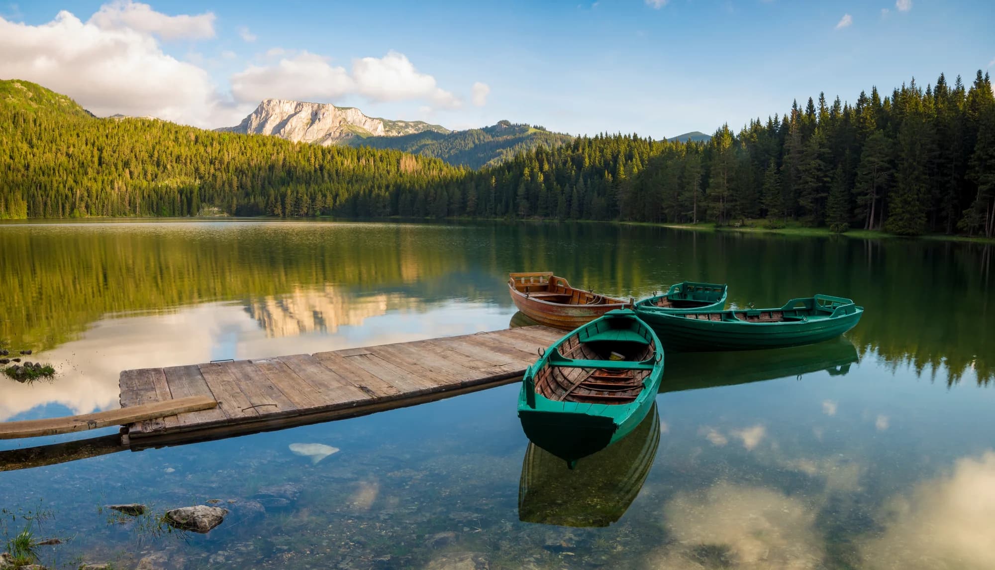
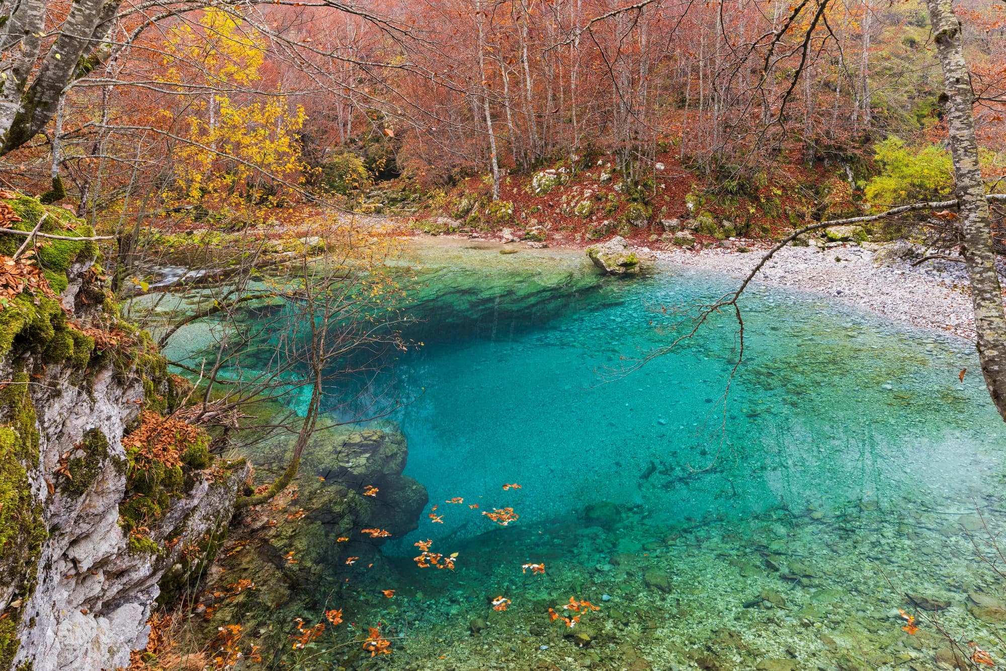
Br. 6 · Vrh · 2.523 m
Bobotov Kuk
Snijeg na 69% januarskih dana
Durmitor’s best-known summit and the one most people mean when they say they climbed a mountain in Montenegro.
 U blizini, nije vrh
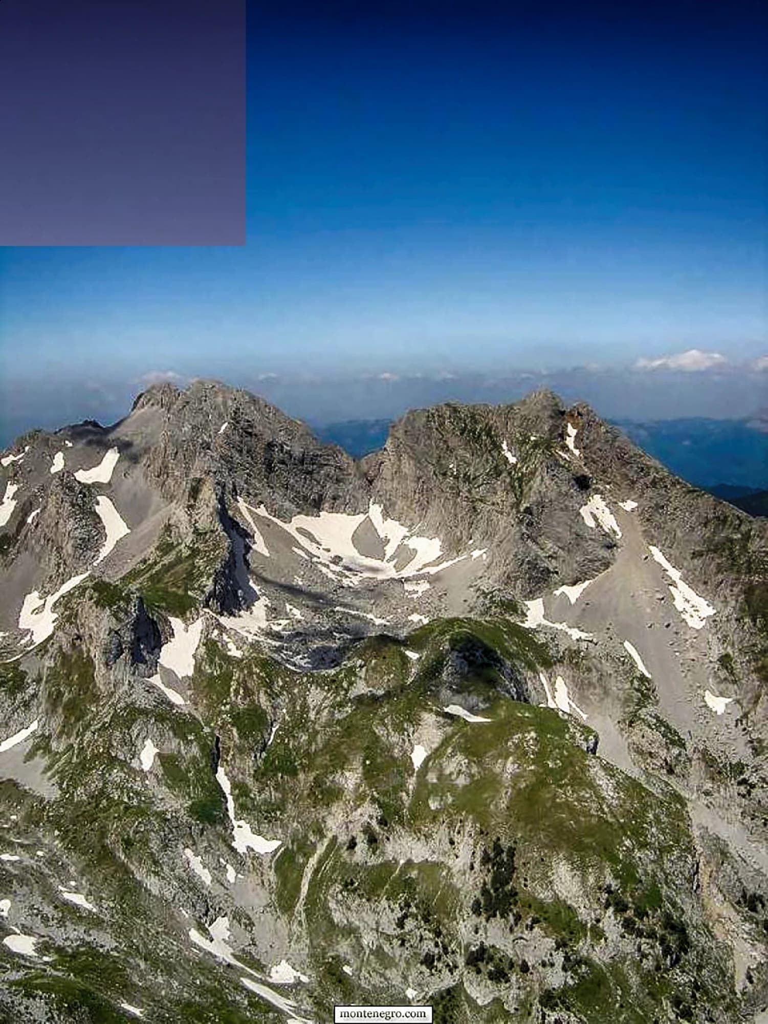
Br. 7 · Vrh · 2.535 m
Zla Kolata
Snijeg na 74% januarskih dana
The highest point in Montenegro, at 2,535 m, on the ridge that forms the Albanian border above the Ropojana valley.
Br. 8 · Vrh · 2.487 m
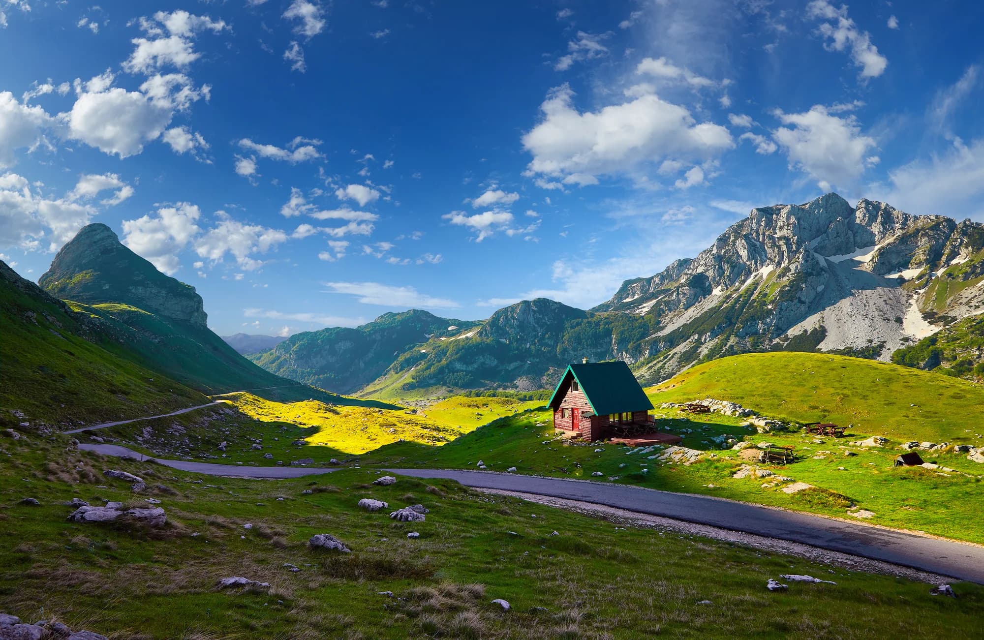
Kom Kučki
Snijeg na 65% januarskih dana
The Komovi are three summits that stand almost alone above the meadows between Andrijevica and Kolašin, and Kom Kučki is the highest of them at 2,487 m.
Br. 9 · Vrh · 2.313 m
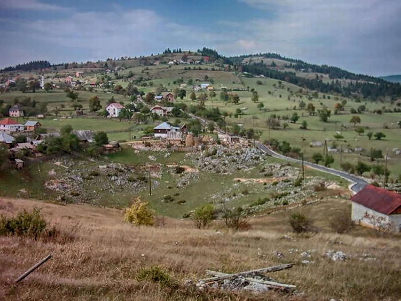
Savin Kuk
Snijeg na 72% januarskih dana
Žabljak’s ski mountain and a straightforward summer summit: the chairlifts take the first 700 m of ascent in winter, and in summer the walk up from Black Lake is the standard half-day from the town.
Br. 10 · Vrh · 2.403 m
Hajla
Snijeg na 67% januarskih dana
The mountain above Rožaje, on the Kosovo border, with a long grassy ridge and a sharp drop on its northern side.
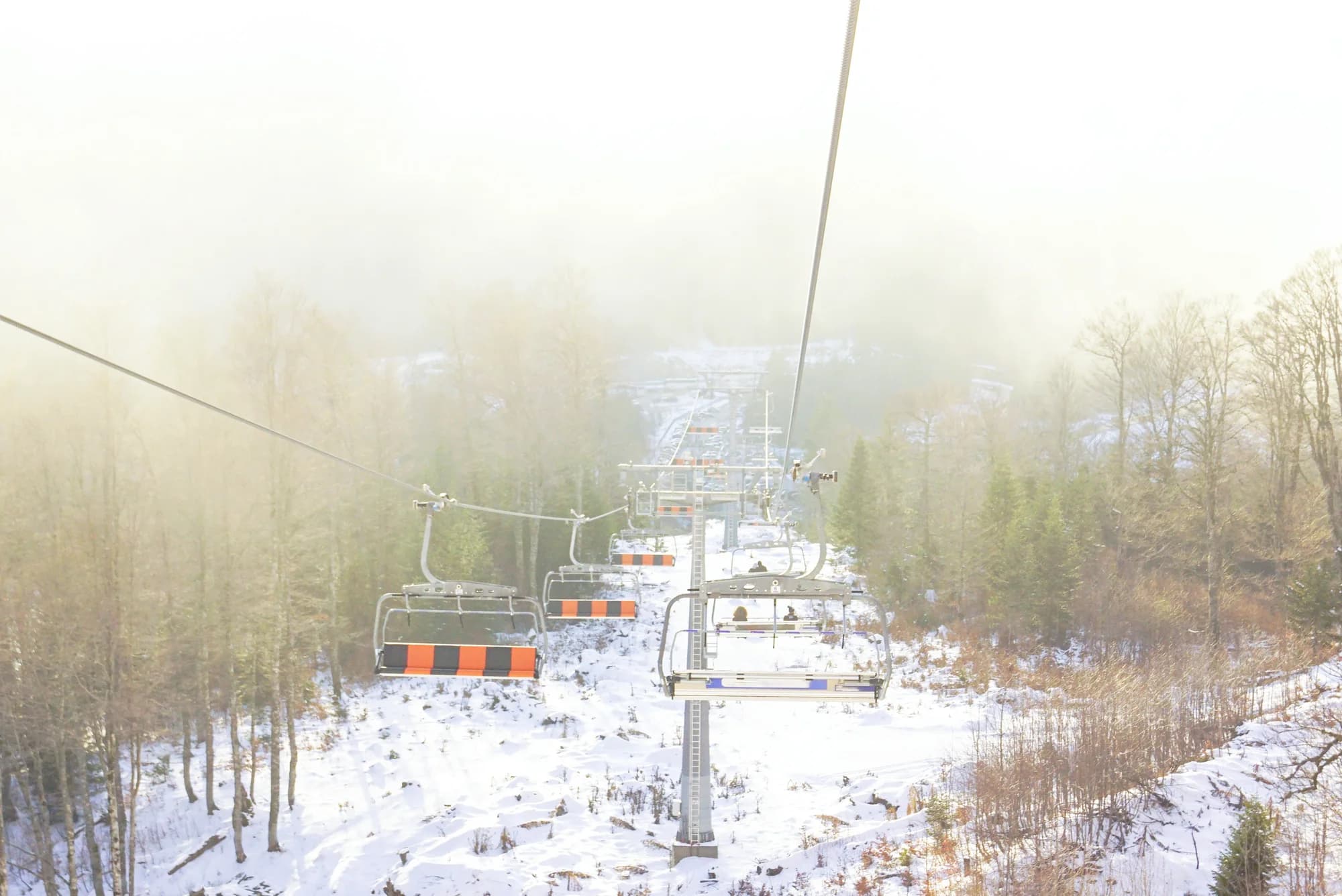
Skijaški centar · 2.035 m
Kolašin 1600
Snijeg na 62% januarskih dana
Montenegro’s main ski area, on the Bjelasica slopes above Kolašin, with a gondola up from the valley and the country’s most reliable lift-served snow.
Vrh · 1.894 m
Zubački Kabao
The highest point of Orjen, the massif directly behind Herceg Novi, and one of the strangest places in the country: a bare limestone desert of sinkholes and karst at 1,900 m, an hour above a subtropical coast..
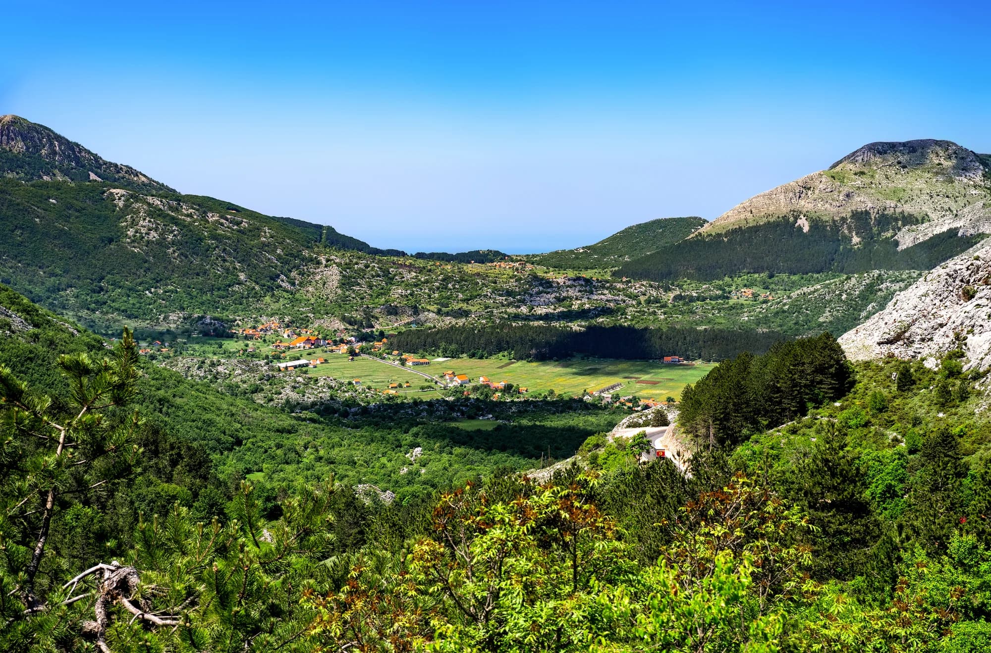 U blizini, nije vrh
Vrh · 1.748 m
Štirovnik
The true summit of Lovćen, a hundred metres above the mausoleum that everyone drives to and almost nobody walks.
- U blizini, nije vrh
Vrh · 1.657 m
Jezerski Vrh
The second summit of Lovćen and the one that carries Nje-goš’s mausoleum, reached from the car park by a tunnel and a long flight of steps cut into the mountain.
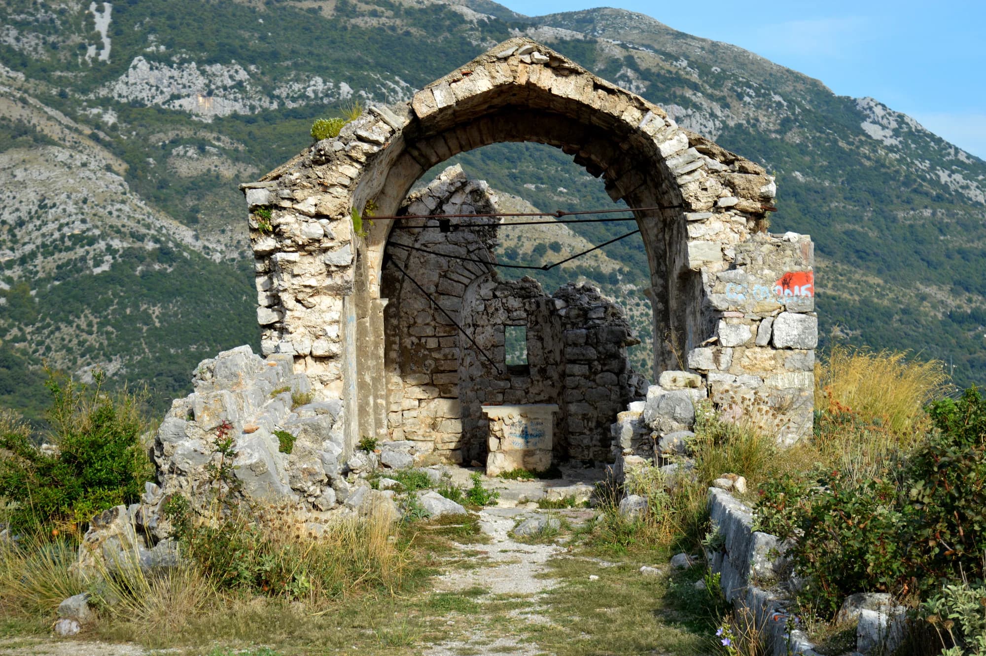
Vrh · 1.594 m
Rumija
The ridge that separates Lake Skadar from the Adriatic, which means the summit has the sea on one side and the lake on the other — the single best view in the south of the country.