Nacionalni park · Prokletije · 2.535 m
Prokletije
Nacionalni park Prokletije
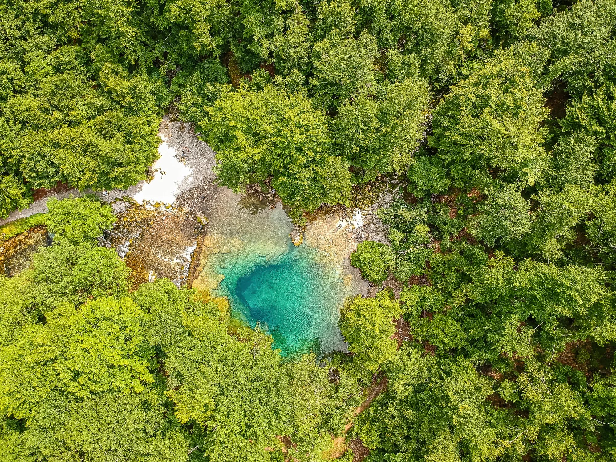
Naš sud
Najalpskiji teren u zemlji i najmanje posjećen: krečnjački zidovi iznad dolina Grebaje i Ropojane i najviši vrh Crne Gore, Zla Kolata sa 2.535 m, na granici sa Albanijom. Ne liči ni na šta drugo u Crnoj Gori, a hodanje je ovdje za stepen zahtjevnije nego na Durmitoru.
Iskreni dio
Ovo je granična zona, a visoki grebeni su sama granica. U dolinama nema signala mobilne mreže. Staze su obilježene, ali je markacija rjeđa nego na Durmitoru, vrijeme se sa albanske strane brzo mijenja, a najbliža pomoć je daleko dolje.
Kad doći
Od kraja juna do septembra. U dolinama se snijeg zadržava duže nego što bi njihova nadmorska visina dala naslutiti, a evidencija ovdje bilježi 30 cm snježnog pokrivača u trećini aprilskih dana.
- Dan za vrh
- Jednodnevni izlazak
- Planinsko cvijeće
- Vidici
- Tamno nebo
Gdje se nalaze
Koliko ima, i koliko se penje
Nema jedne rute: koordinata parka je sredina granice, a ne mjesto do kojeg se ide pješke. Rute stoje na stranicama njegovih vrhova.
Kad snijeg leži
Na planini Prokletije podloge od 30 cm obično nema od maj do nov. Van tog prozora računajte na snijeg na tlu.
Kroz zapis tlo je pouzdano padalo pod 5 cm oko 17. april i vraćalo se pod snijeg oko 27. novembar. To su medijane jedanaest godina, a ne obećanje za ovu.
| Mjesec | Više od 1 cm | Podloga preko 30 cm | Srednja visina | Dnevna najviša |
|---|---|---|---|---|
| jan | 95% | 71% | 50 cm | -1.5 °C |
| feb | 96% | 72% | 65 cm | 0.8 °C |
| mar | 91% | 59% | 63 cm | 2.9 °C |
| apr | 62% | 33% | 35 cm | 7.3 °C |
| maj | 11% | 4% | 3 cm | 12.1 °C |
| jun | — | — | — | 17.8 °C |
| jul | — | — | — | 20.8 °C |
| avg | — | — | — | 21.0 °C |
| sep | — | — | — | 16.2 °C |
| okt | 7% | — | — | 11.5 °C |
| nov | 29% | — | 3 cm | 6.3 °C |
| dec | 83% | 31% | 20 cm | 1.1 °C |
Zime se razlikuju više nego što bi ijedan prosjek dao naslutiti. Kroz 10 zima Prokletije je držao podlogu od 30 cm medijalno 96 dana: 0 u zimi 2023 i 140 u zimi 2017. Jedanaest zima je zapis, a ne klima, i ništa ovdje nije trend.
| Zima | Dana preko 30 cm | Najviše |
|---|---|---|
| 2015–16 | 30 | 46 cm |
| 2016–17 | 72 | 71 cm |
| 2017–18 | 140 | 183 cm |
| 2018–19 | 113 | 118 cm |
| 2019–20 | 4 | 32 cm |
| 2020–21 | 136 | 159 cm |
| 2021–22 | 139 | 106 cm |
| 2022–23 | 43 | 69 cm |
| 2023–24 | — | 29 cm |
| 2024–25 | 96 | 84 cm |
Temperature su korigovane na 1.693 m, visinu tla u tački koju pitamo; vrh je na 2.535 m. Visina snijega nije korigovana — to je ćelija od oko devet kilometara, pa je čitajte kao masiv, a ne kao vrh.
Reanaliza ERA5-Land (Copernicus), preko Open-Meteo.
Prokletije, u činjenicama
Planina
| Vrh | 2.535 mZla Kolata, OSM node (ele 2535) — the highest point in Montenegro |
|---|---|
| Masiv | Prokletije |
| Vrsta | Nacionalni park |
| Visina zapisa | 1.693 mVisina na koju je korigovan temperaturni zapis. Vrh je na 2.535 m. |
Kako se uspeti
| Početak staze | Gusinje i Plav za doline; Grebaje i Ropojana za zidove |
|---|---|
| Težina | Planinarski izlazak |
| Put | Asfaltiran do Gusinja; makadam uz doline |
| Parking | Besplatan |
| Autobus | Do Plava i Gusinja saobraćaju autobusi iz Podgorice |
| Obilježena staza | Da |
Gore
| Planinarski dom | Nekoliko kata i planinskih kuća u dolinama Grebaje i Ropojane |
|---|---|
| Voda | Izvori zabilježeni u krugu od 4 km |
| Hrana | Kod doma |
| Toalet | Nije provjereno |
| Zaklon | Nije provjereno |
| Mobilni signal | Ne |
Park
| Površina | 166,3 km²Izmjereno prema OpenStreetMap relaciji 13996294. Obično se navodi 165 km², što se poklapa. |
|---|---|
| Ulaz | Charged — the park is tagged fee=yes in OpenStreetMap and the operator publishes a price list. We have not verified the current figure. |
Pravila koja vrijedi znati
- Granična zona: albanska granica ide visokim grebenima, a njen prelazak pješice je regulisan
- Za snimanje dronom i komercijalno snimanje potrebna je pisana dozvola uprave parka
Opasnosti
- Granična zona na visokim grebenima
- Nema signala mobilne mreže u dolinama
- Odroni kamenja ispod zidova
Činjenice su posljednji put provjerene prema izvorima 30. septembar 2026..
Odakle dolaze ove činjenice
- OpenStreetMap natural=spring and amenity=drinking_water nodes within 4 km for the water field
- OpenStreetMap relation 13996294 for the boundary, area and the fee tag
- Zla Kolata elevation from OpenStreetMap peak node (Q2720697)
- Our Gusinje guide
- Open-Meteo ERA5-Land archive 2015–2025 for the snow and temperature record
Fotografije
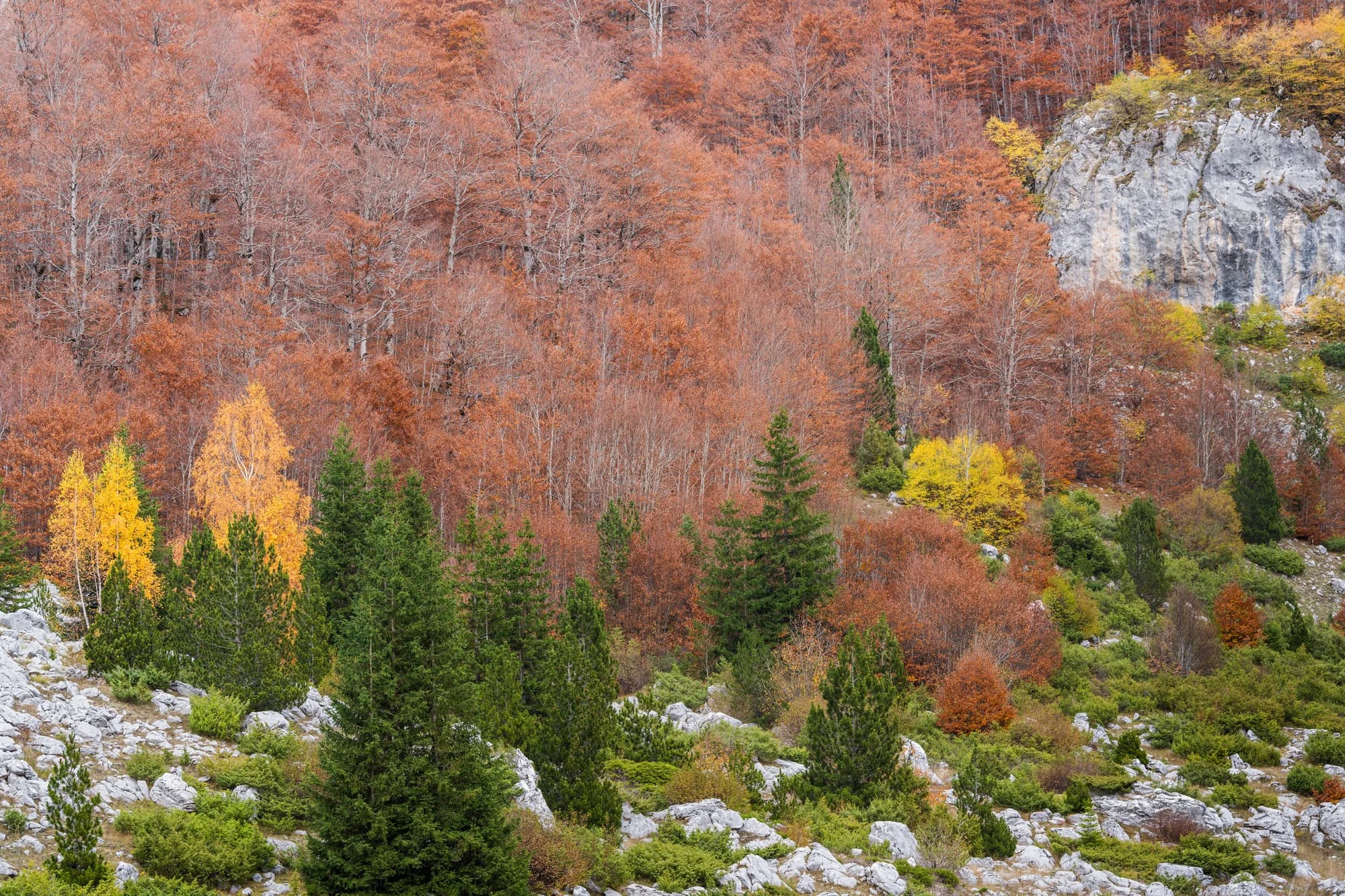
Livada i krečnjak na Prokletijama 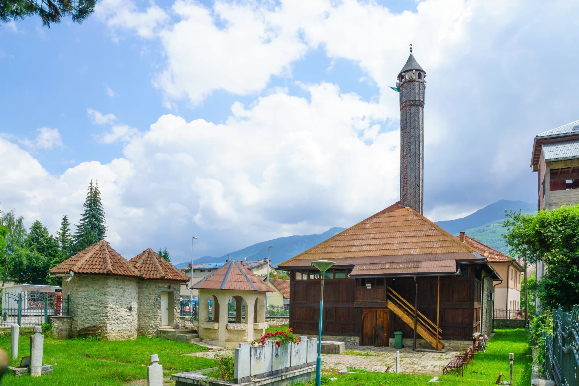
Dno doline kod Gusinja
