Nationalpark · Prokletije · 2.535 m
Prokletije
Nacionalni park Prokletije
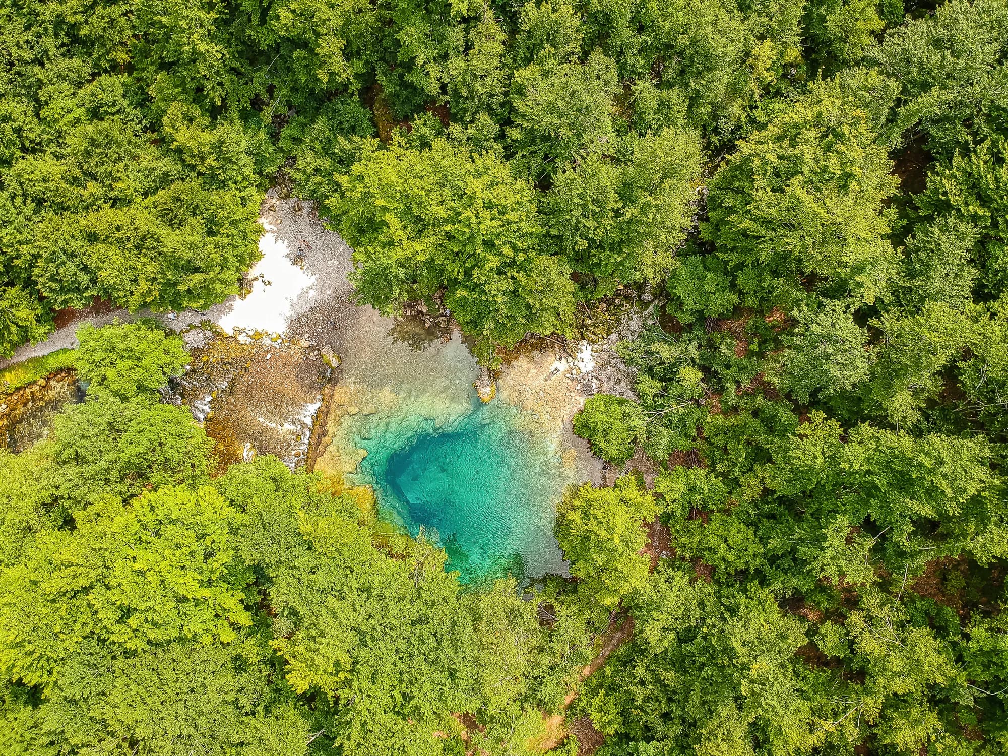
Unser Urteil
Das alpinste Gelände des Landes und das am wenigsten besuchte: Kalksteinwände über den Tälern Grebaje und Ropojana und Montenegros höchster Gipfel, die Zla Kolata mit 2.535 m, an der albanischen Grenze. Es sieht dem übrigen Montenegro in nichts ähnlich, und das Wandern hier ist eine Stufe schwerer als am Durmitor.
Der ehrliche Teil
Dies ist ein Grenzgebiet, und die hohen Grate sind die Staatsgrenze. In den Tälern gibt es keinen Handyempfang. Die Routen sind markiert, aber spärlicher als am Durmitor, das Wetter zieht von der albanischen Seite schnell herein, und die nächste Hilfe ist weit unten.
Wann hin
Ende Juni bis September. Die Täler halten den Schnee länger, als ihre Höhe vermuten lässt, und die Aufzeichnungen zeigen hier an einem Drittel der Apriltage eine Schneedecke von 30 cm.
- Gipfeltag
- Tagestour
- Bergblumen
- Aussicht
- Dunkler Himmel
Wo das liegt
Wie weit, und wie viel hinauf
Keine einzelne Route: die Koordinate eines Parks ist die Mitte einer Grenze und kein Ort, zu dem jemand geht. Die Routen stehen auf den Seiten seiner Gipfel.
Wann der Schnee liegt
Am Prokletije ist eine Decke von 30 cm normalerweise von Mai bis Nov verschwunden. Außerhalb dieses Fensters planen Sie mit Schnee.
Im Datensatz lag der Boden ab etwa 17. April verlässlich unter 5 cm und ging um 27. November wieder unter Schnee. Das sind Mediane aus elf Jahren, kein Versprechen für dieses.
| Monat | Über 1 cm | Decke über 30 cm | Mittlere Höhe | Tageshöchstwert |
|---|---|---|---|---|
| Jan | 95 % | 71 % | 50 cm | -1.5 °C |
| Feb | 96 % | 72 % | 65 cm | 0.8 °C |
| Mär | 91 % | 59 % | 63 cm | 2.9 °C |
| Apr | 62 % | 33 % | 35 cm | 7.3 °C |
| Mai | 11 % | 4 % | 3 cm | 12.1 °C |
| Jun | — | — | — | 17.8 °C |
| Jul | — | — | — | 20.8 °C |
| Aug | — | — | — | 21.0 °C |
| Sep | — | — | — | 16.2 °C |
| Okt | 7 % | — | — | 11.5 °C |
| Nov | 29 % | — | 3 cm | 6.3 °C |
| Dez | 83 % | 31 % | 20 cm | 1.1 °C |
Die Winter schwanken stärker, als jeder Mittelwert vermuten lässt. Über 10 Winter trug Prokletije eine Decke von 30 cm im Median 96 Tage lang: 0 im Winter 2023 und 140 im Winter 2017. Elf Winter sind ein Datensatz, kein Klima, und nichts hier ist ein Trend.
| Winter | Tage über 30 cm | Maximum |
|---|---|---|
| 2015–16 | 30 | 46 cm |
| 2016–17 | 72 | 71 cm |
| 2017–18 | 140 | 183 cm |
| 2018–19 | 113 | 118 cm |
| 2019–20 | 4 | 32 cm |
| 2020–21 | 136 | 159 cm |
| 2021–22 | 139 | 106 cm |
| 2022–23 | 43 | 69 cm |
| 2023–24 | — | 29 cm |
| 2024–25 | 96 | 84 cm |
Die Temperaturen sind auf 1.693 m korrigiert, die Geländehöhe am abgefragten Punkt; der Gipfel liegt auf 2.535 m. Die Schneehöhe ist nicht korrigiert — sie ist eine Gitterzelle von etwa neun Kilometern, also als Massiv und nicht als Gipfel zu lesen.
Reanalyse aus ERA5-Land (Copernicus), bereitgestellt von Open-Meteo.
Prokletije in Zahlen
Der Berg
| Gipfel | 2.535 mZla Kolata, OSM node (ele 2535) — the highest point in Montenegro |
|---|---|
| Massiv | Prokletije |
| Art | Nationalpark |
| Bezugshöhe | 1.693 mDie Höhe, auf die die Temperaturbilanz korrigiert ist. Der Gipfel liegt auf 2.535 m. |
Der Weg nach oben
| Ausgangspunkt | Gusinje und Plav für die Täler; Grebaje und Ropojana für die Wände |
|---|---|
| Schwierigkeit | Eine Bergtour |
| Straße | Asphaltiert bis Gusinje; Schotter die Täler hinauf |
| Parken | Kostenlos |
| Bus | Plav und Gusinje werden von Podgorica aus angefahren |
| Markierter Weg | Ja |
Oben
| Hütte | Mehrere Kata und Berghäuser in den Tälern Grebaje und Ropojana |
|---|---|
| Wasser | Quellen im Umkreis von 4 km verzeichnet |
| Essen | An der Hütte |
| Toiletten | Nicht geprüft |
| Schutzhütte | Nicht geprüft |
| Handynetz | Nein |
Der Park
| Fläche | 166,3 km²Gemessen anhand der OpenStreetMap-Relation 13996294. Häufig mit 165 km² angegeben, was übereinstimmt. |
|---|---|
| Eintritt | Charged — the park is tagged fee=yes in OpenStreetMap and the operator publishes a price list. We have not verified the current figure. |
Regeln, die man kennen sollte
- Ein Grenzgebiet: Die albanische Grenze verläuft entlang der hohen Grate, und ihr Überschreiten zu Fuß ist reglementiert
- Drohnenflüge und kommerzielle Filmaufnahmen erfordern eine schriftliche Genehmigung der Parkverwaltung
Gefahren
- Grenzgebiet auf den hohen Graten
- Kein Mobilfunkempfang in den Tälern
- Steinschlag unterhalb der Wände
Angaben zuletzt am 30. September 2026 gegen ihre Quellen geprüft.
Woher diese Angaben kommen
- OpenStreetMap natural=spring and amenity=drinking_water nodes within 4 km for the water field
- OpenStreetMap relation 13996294 for the boundary, area and the fee tag
- Zla Kolata elevation from OpenStreetMap peak node (Q2720697)
- Our Gusinje guide
- Open-Meteo ERA5-Land archive 2015–2025 for the snow and temperature record
Bilder
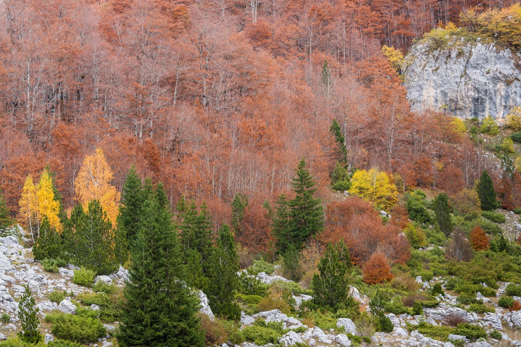
Wiese und Kalkstein in den Prokletije 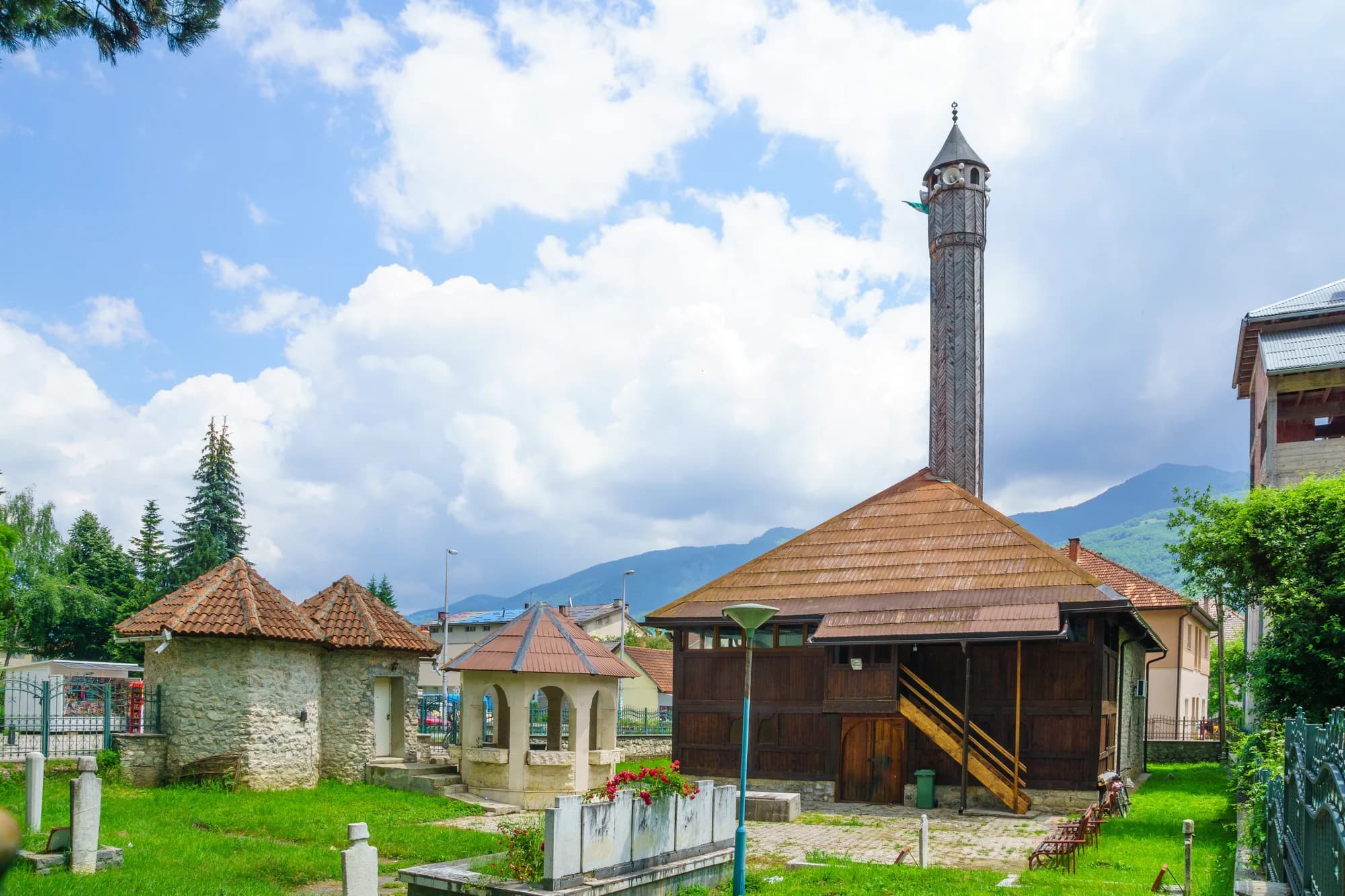
Der Talboden bei Gusinje
