Parco nazionale · Prokletije · 2535 m
Prokletije
Nacionalni park Prokletije
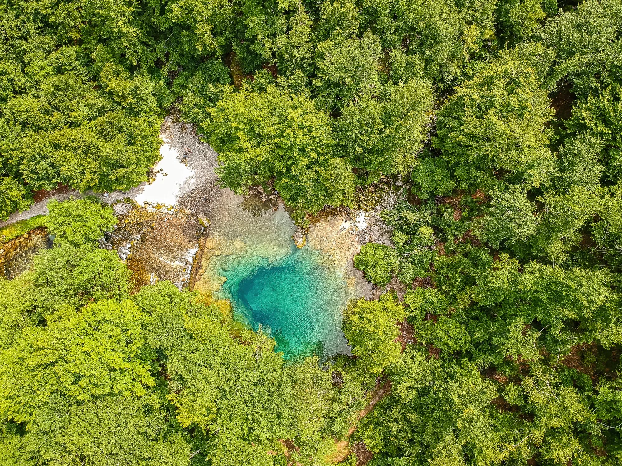
Il nostro giudizio
Il terreno più alpino del paese e il meno visitato: pareti calcaree sopra le valli di Grebaje e Ropojana, e la vetta più alta del Montenegro, la Zla Kolata, 2.535 m, sul confine albanese. Non somiglia per niente al resto del Montenegro e qui le escursioni sono di un grado più impegnative che sul Durmitor.
La parte onesta
È una zona di confine e le creste più alte sono la frontiera. Nelle valli non c'è copertura telefonica. Gli itinerari sono segnalati, ma la segnaletica è più rada che sul Durmitor, il tempo cambia rapidamente arrivando dal versante albanese e i soccorsi più vicini sono molto più in basso.
Quando andare
Da fine giugno a settembre. Le valli conservano la neve più a lungo di quanto lascerebbe pensare la loro altitudine, e i dati registrati qui mostrano un fondo di 30 cm in un terzo dei giorni di aprile.
- Giornata di cima
- Escursione in giornata
- Fiori di montagna
- Panorami
- Cielo buio
Dove si trovano
Quanto è lontano, e quanto si sale
Nessuna via unica: la coordinata di un parco è il centro di un confine, non un posto dove si cammina. Le vie stanno nelle pagine delle sue cime.
Quando c’è neve
Su Prokletije un manto di 30 cm di solito è sparito da mag a nov. Fuori da quella finestra, conta sulla neve al suolo.
In archivio il terreno è scesso stabilmente sotto 5 cm verso il 17 aprile ed è tornato sotto la neve verso il 27 novembre. Sono mediane di undici anni, non una promessa su questo.
| Mese | Oltre 1 cm | Manto oltre 30 cm | Spessore medio | Massima diurna |
|---|---|---|---|---|
| gen | 95% | 71% | 50 cm | -1.5 °C |
| feb | 96% | 72% | 65 cm | 0.8 °C |
| mar | 91% | 59% | 63 cm | 2.9 °C |
| apr | 62% | 33% | 35 cm | 7.3 °C |
| mag | 11% | 4% | 3 cm | 12.1 °C |
| giu | — | — | — | 17.8 °C |
| lug | — | — | — | 20.8 °C |
| ago | — | — | — | 21.0 °C |
| set | — | — | — | 16.2 °C |
| ott | 7% | — | — | 11.5 °C |
| nov | 29% | — | 3 cm | 6.3 °C |
| dic | 83% | 31% | 20 cm | 1.1 °C |
Gli inverni variano più di quanto suggerisca qualsiasi media. In 10 inverni Prokletije ha tenuto un manto di 30 cm per 96 giorni in mediana: 0 nel 2023 e 140 nel 2017. Undici inverni sono un archivio, non un clima, e qui niente è una tendenza.
| Inverno | Giorni oltre 30 cm | Massimo |
|---|---|---|
| 2015–16 | 30 | 46 cm |
| 2016–17 | 72 | 71 cm |
| 2017–18 | 140 | 183 cm |
| 2018–19 | 113 | 118 cm |
| 2019–20 | 4 | 32 cm |
| 2020–21 | 136 | 159 cm |
| 2021–22 | 139 | 106 cm |
| 2022–23 | 43 | 69 cm |
| 2023–24 | — | 29 cm |
| 2024–25 | 96 | 84 cm |
Le temperature sono corrette a 1693 m, la quota del terreno nel punto interrogato; la cima è a 2535 m. Lo spessore della neve non è corretto: è una cella di circa nove chilometri, quindi va letto come il massiccio e non come la cima.
Rianalisi ERA5-Land (Copernicus), servita da Open-Meteo.
Prokletije, in numeri
La montagna
| Cima | 2535 mZla Kolata, OSM node (ele 2535) — the highest point in Montenegro |
|---|---|
| Massiccio | Prokletije |
| Tipo | Parco nazionale |
| Quota di riferimento | 1693 mLa quota a cui è corretto l’archivio delle temperature. La cima è a 2535 m. |
Come salirci
| Punto di partenza | Gusinje e Plav per le valli; Grebaje e Ropojana per le pareti |
|---|---|
| Difficoltà | Un’escursione |
| Strada | Asfaltata fino a Gusinje; sterrata risalendo le valli |
| Parcheggio | Gratuito |
| Autobus | Plav e Gusinje sono collegate in autobus da Podgorica |
| Percorso segnato | Sì |
Là in alto
| Rifugio | Diverse kata e case di montagna nelle valli di Grebaje e Ropojana |
|---|---|
| Acqua | Sorgenti mappate entro 4 km |
| Cibo | Al rifugio |
| Servizi | Non verificato |
| Ricovero | Non verificato |
| Copertura mobile | No |
Il parco
| Superficie | 166,3 km²Misurata dalla relazione OpenStreetMap 13996294. Viene spesso indicata in 165 km², il che concorda. |
|---|---|
| Ingresso | Charged — the park is tagged fee=yes in OpenStreetMap and the operator publishes a price list. We have not verified the current figure. |
Regole da conoscere
- Zona di confine: la frontiera albanese corre lungo le creste più alte e attraversarla a piedi è regolamentato
- Droni e riprese commerciali richiedono un'autorizzazione scritta dell'ente parco
Pericoli
- Zona di confine sulle creste più alte
- Nessuna copertura mobile nelle valli
- Caduta massi sotto le pareti
Dati verificati sulle loro fonti per l’ultima volta il 30 settembre 2026.
Da dove vengono questi dati
- OpenStreetMap natural=spring and amenity=drinking_water nodes within 4 km for the water field
- OpenStreetMap relation 13996294 for the boundary, area and the fee tag
- Zla Kolata elevation from OpenStreetMap peak node (Q2720697)
- Our Gusinje guide
- Open-Meteo ERA5-Land archive 2015–2025 for the snow and temperature record
Fotografie
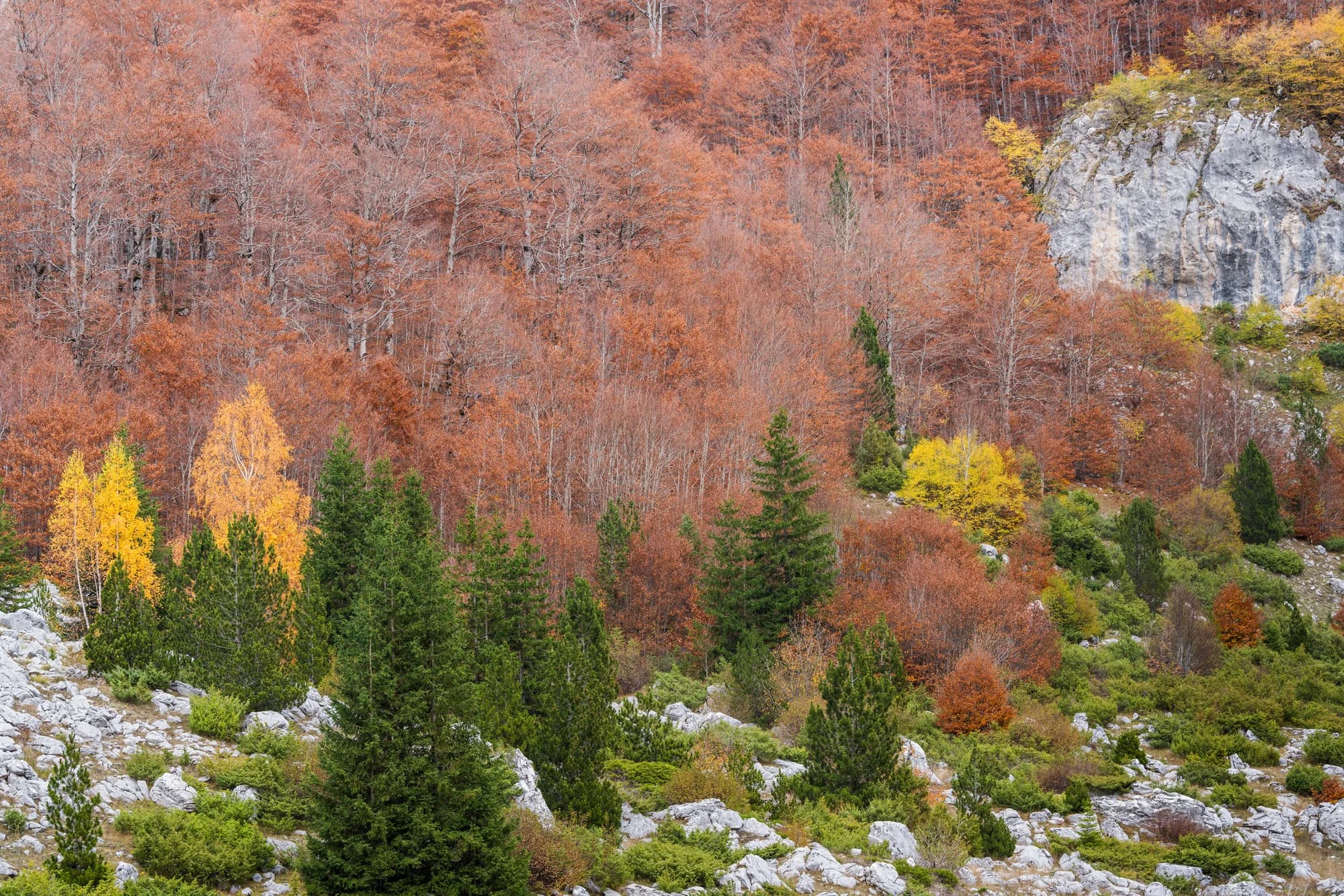
Prato e calcare nel Prokletije 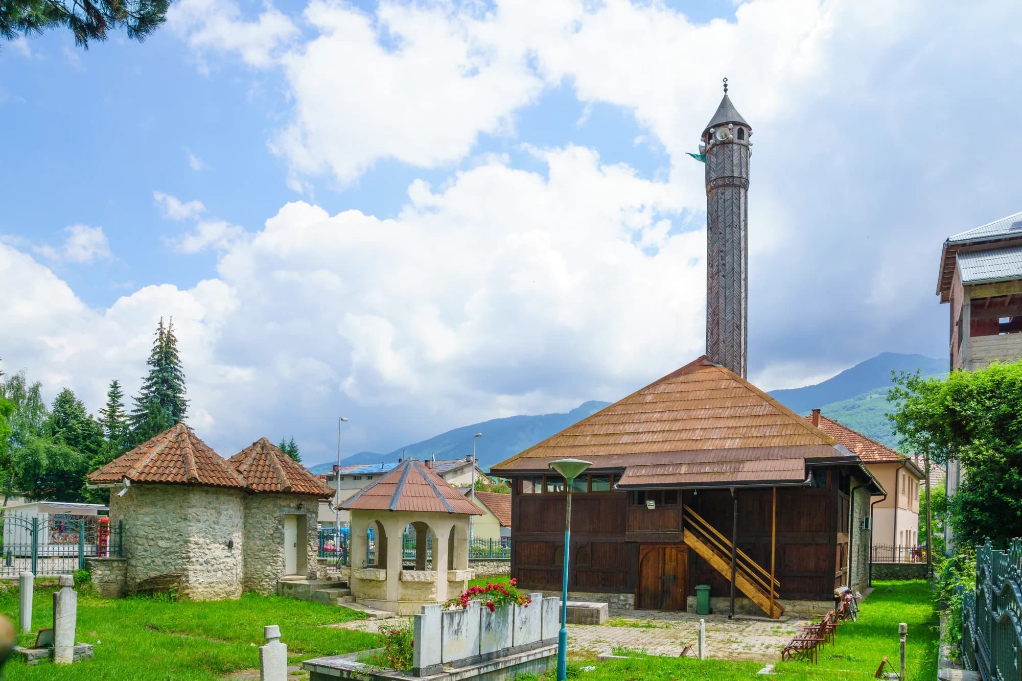
Il fondovalle a Gusinje
