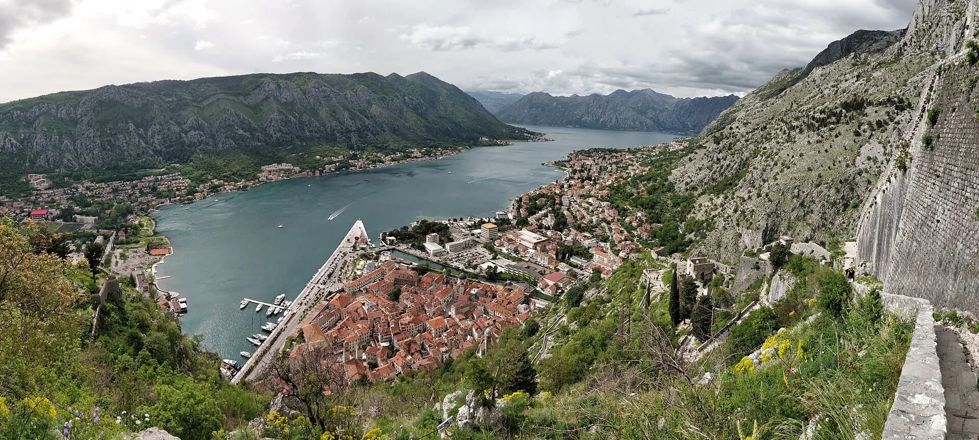
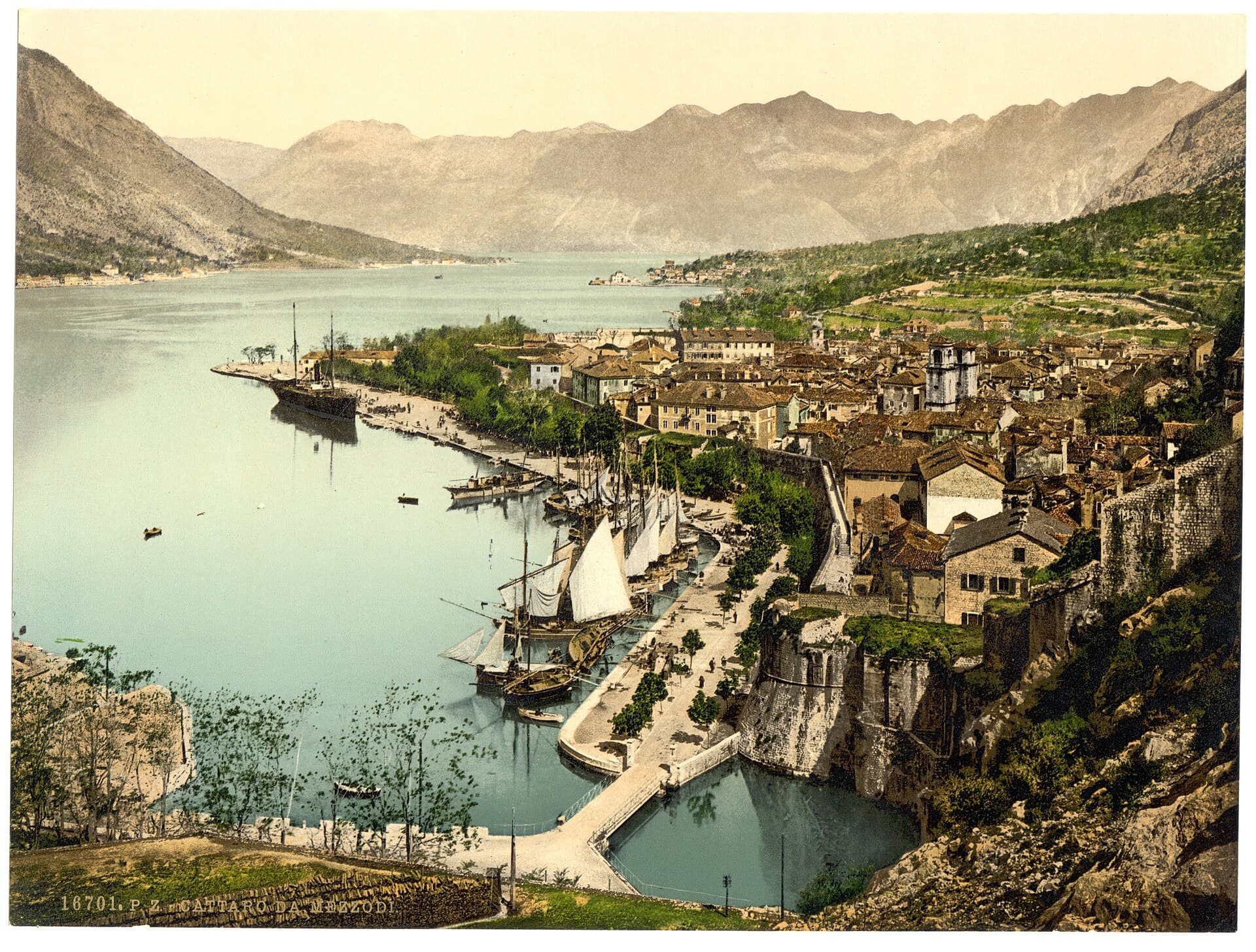
Lungomare
ThenBanchina di lavoro ai piedi delle mura
NowStrada, marina e porta d'accesso per i visitatori
Stand in one place. Move through centuries. Reveal what changed, what survived and what you can still experience today.
Historic image: Library of Congress Photochrom Print Collection, approximately 1890–1900. No known publication restrictions.
Start with a city
These source-linked city chapters have their own photographs, historical names, timelines and visual evidence.
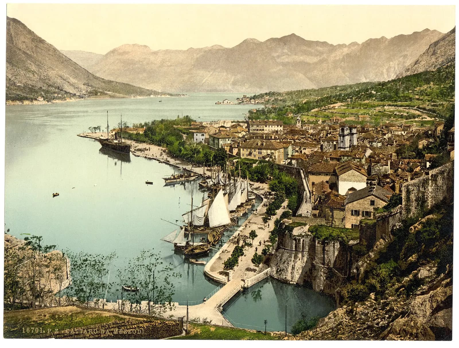 1890–1900KotorDa porto fortificato a città del mondo
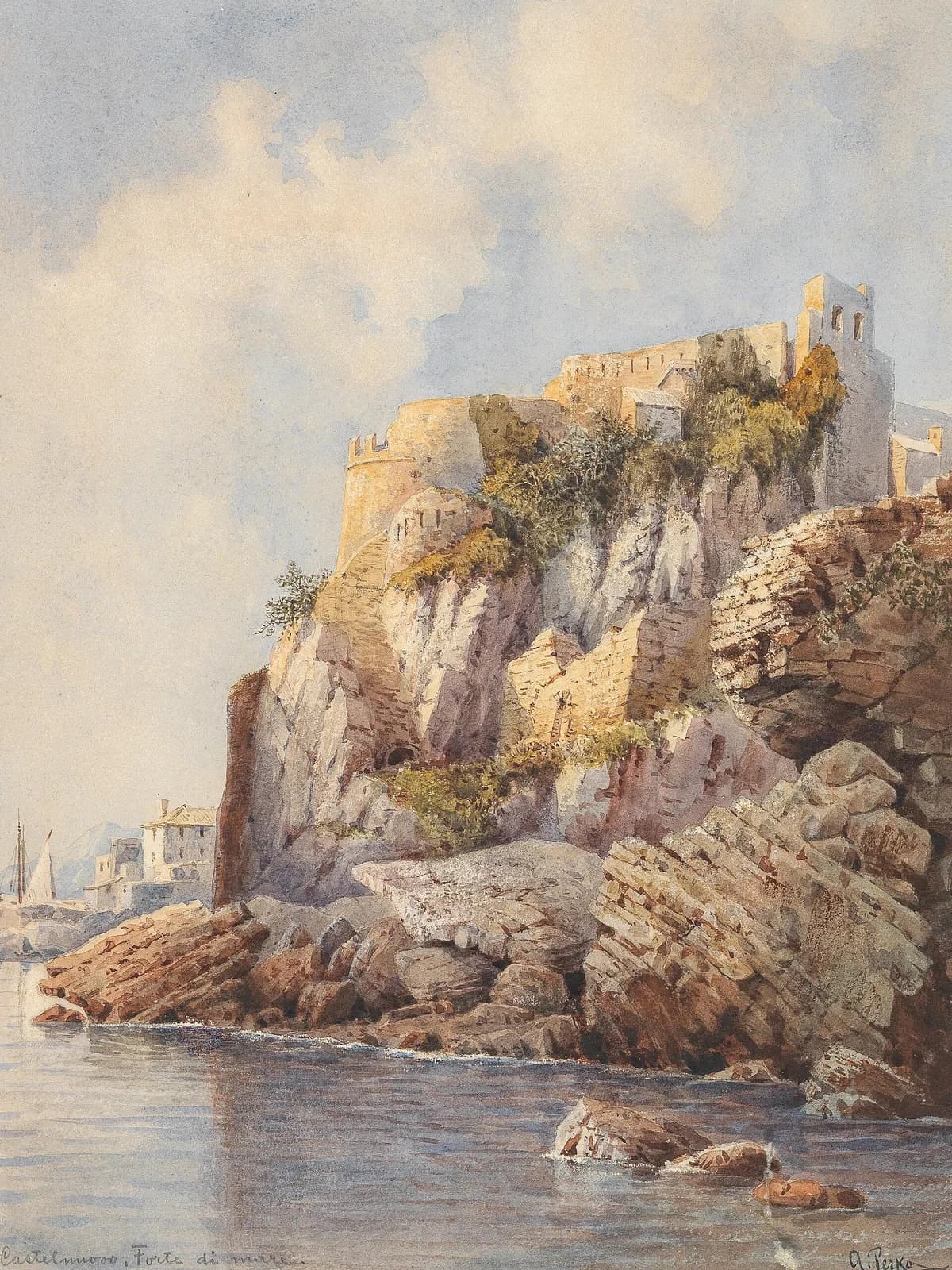 Castelnuovo e Forte MareHerceg NoviCastrum Novum, Castelnuovo, Herceg Novi
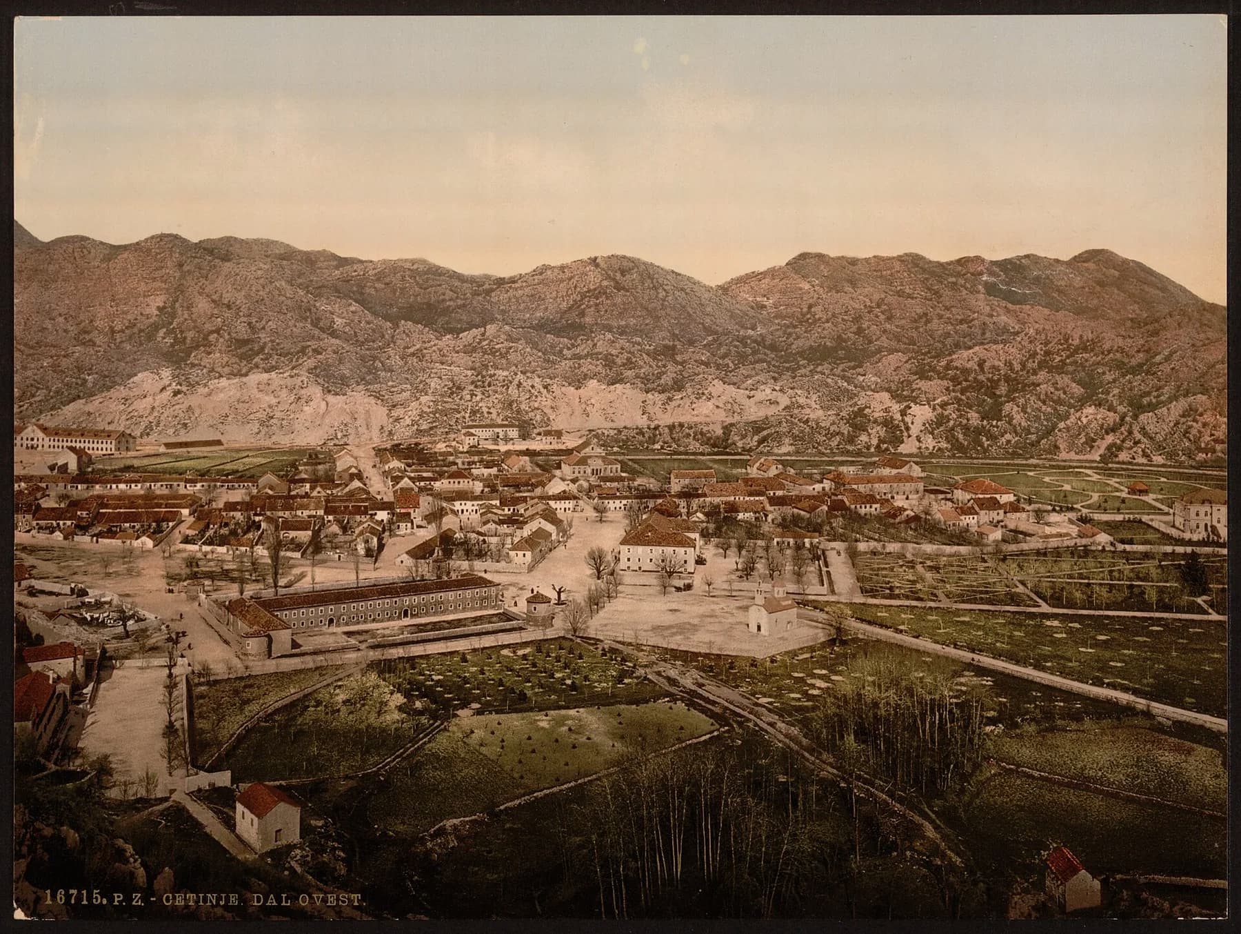 1890–1900CetinjeUna capitale reale cresce sulla piana di montagna
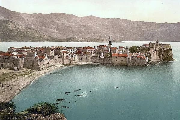 1900BudvaLa penisola murata diventa capitale balneare
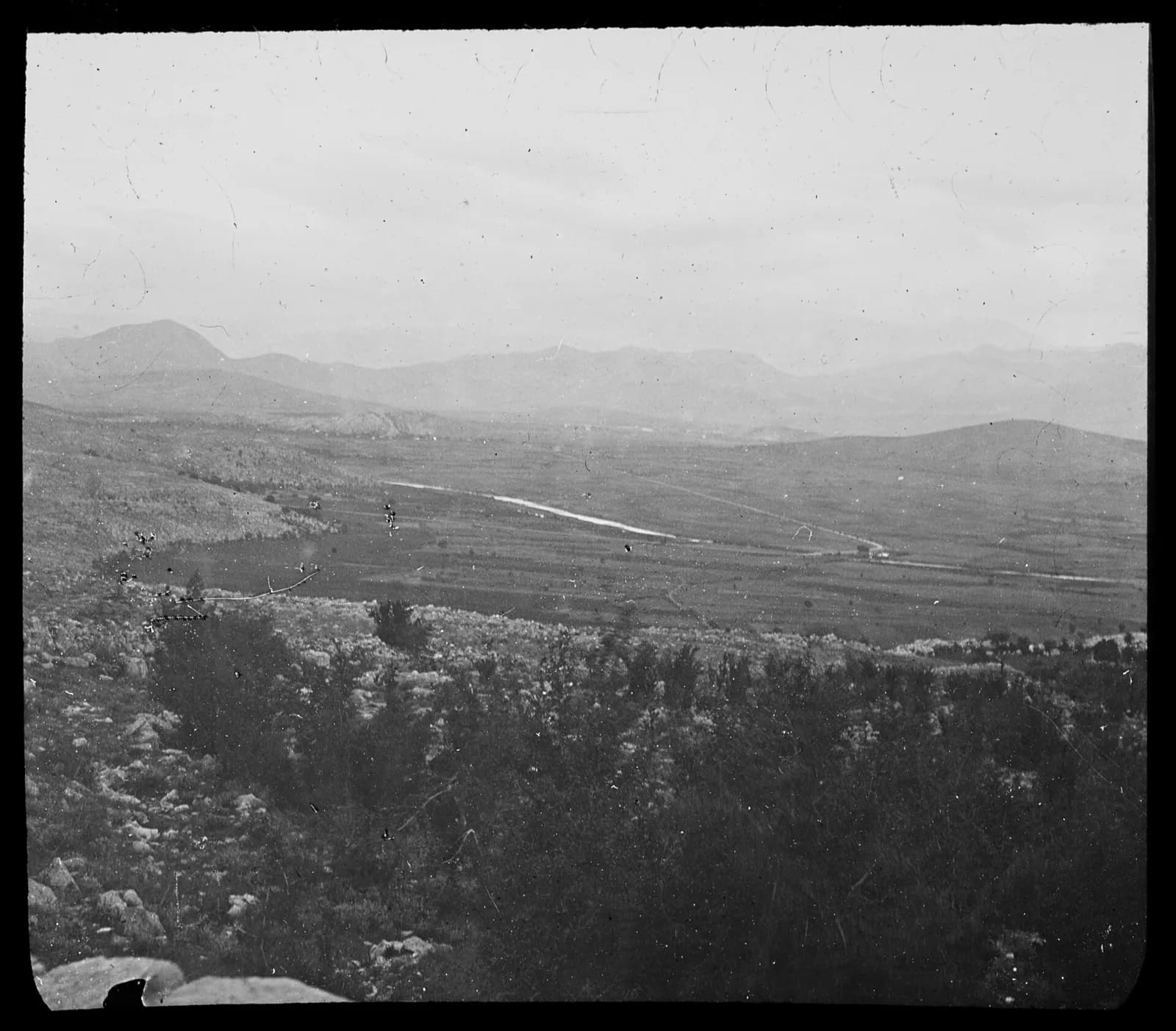 Podgorica e la valle della ZetaPodgoricaUn guado sul fiume che diventa capitale, più volte
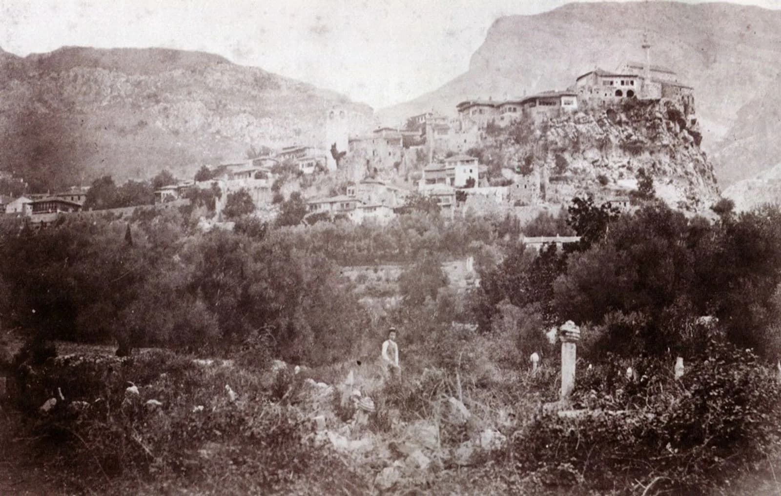 Stari Bar sotto il profilo ottomanoBarUna città cinta dai monti scende verso il mare
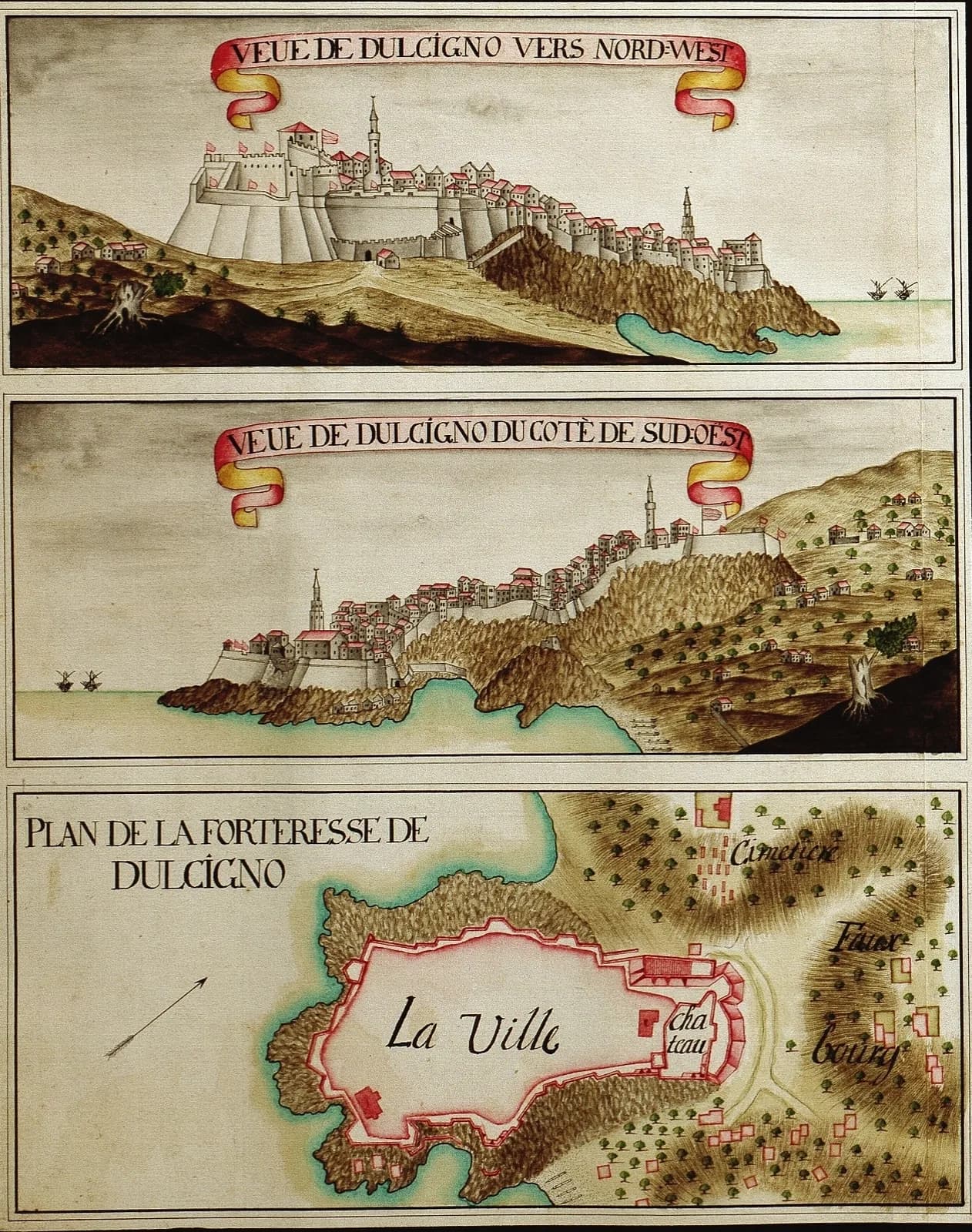 Piano d'assedio veneziano di DulcignoUlcinjUna cittadella si legge come un archivio di frontiera adriatica
Or start with a building
Deep dives that take a single building apart the way archaeologists record one — as a stack of dated construction phases, each in its own colour.
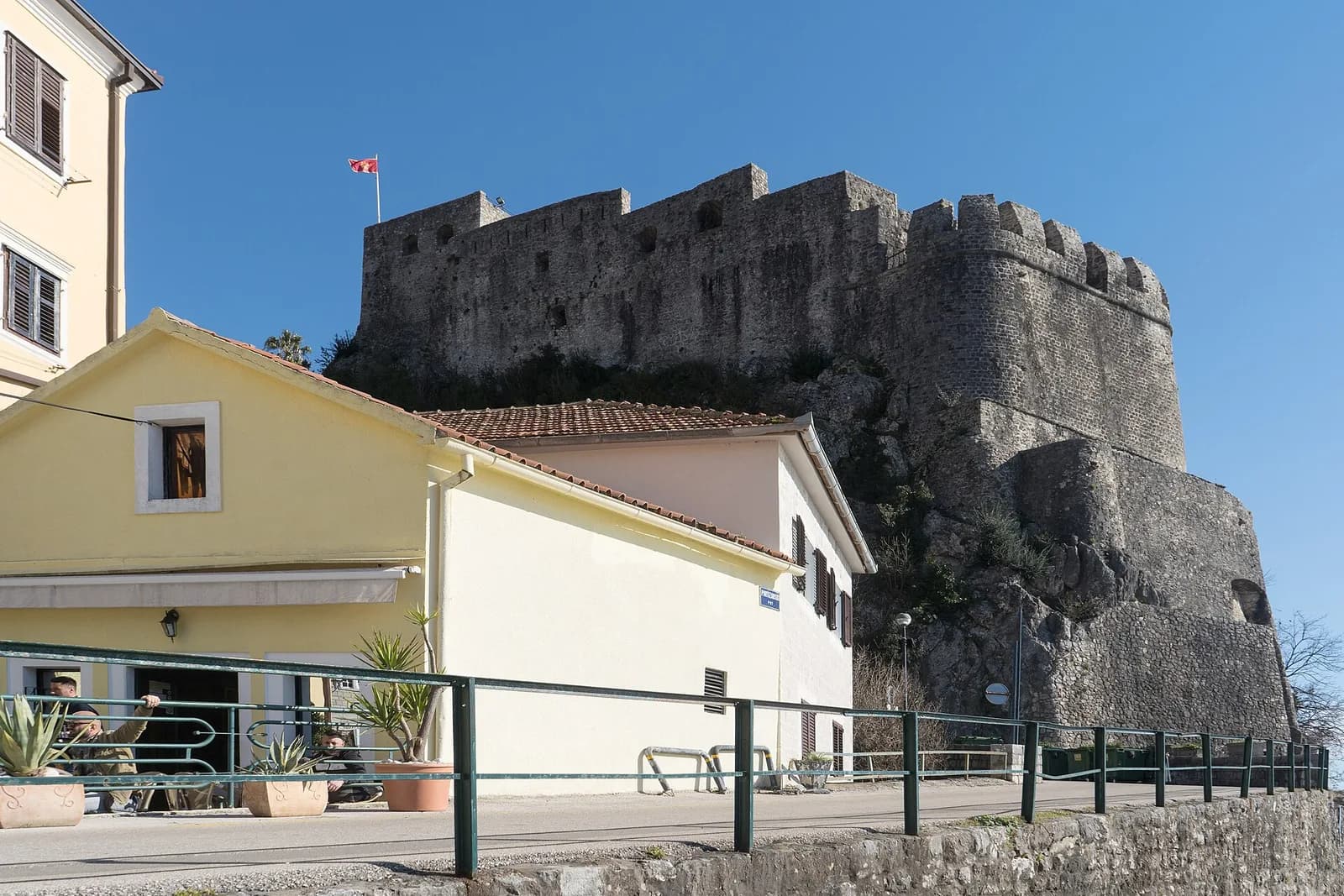 Herceg NoviForte MareA salt-trade watchtower that eight sovereignties rebuilt on top of each other — and that has now spent seventy-four summers as a cinema.
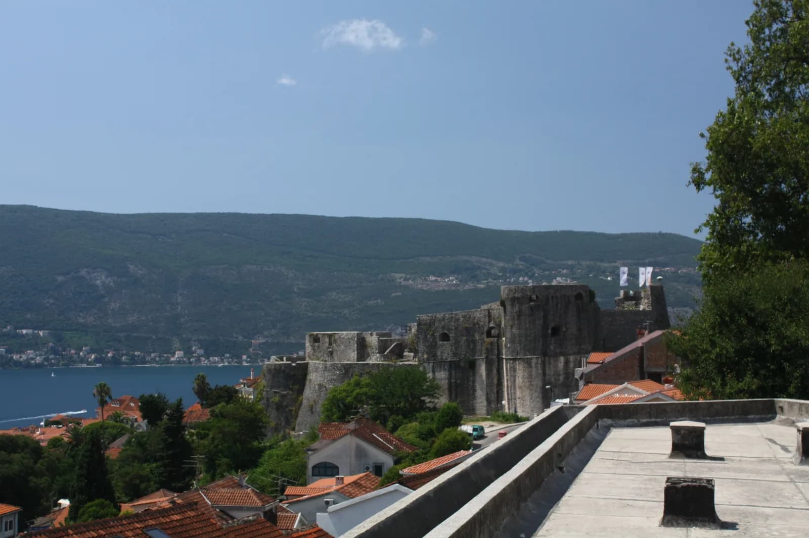 Herceg NoviKanli KulaA prison whose inmates dated it for us — they scratched ships into the walls — and which now seats a thousand people watching films.
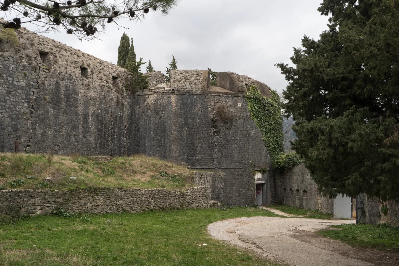 Herceg NoviŠpanjolaThe Spanish began it in a year they did not survive. The Ottomans finished it, and it still carries the name of the side that lost.
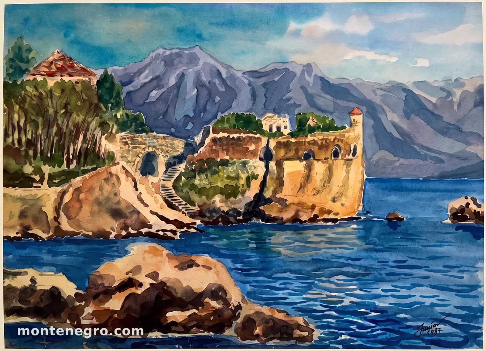 Herceg NoviCitadelaIt closed the southern end of the defences for centuries, nobody is sure when it was built, and in ninety seconds in 1979 it went into the sea.
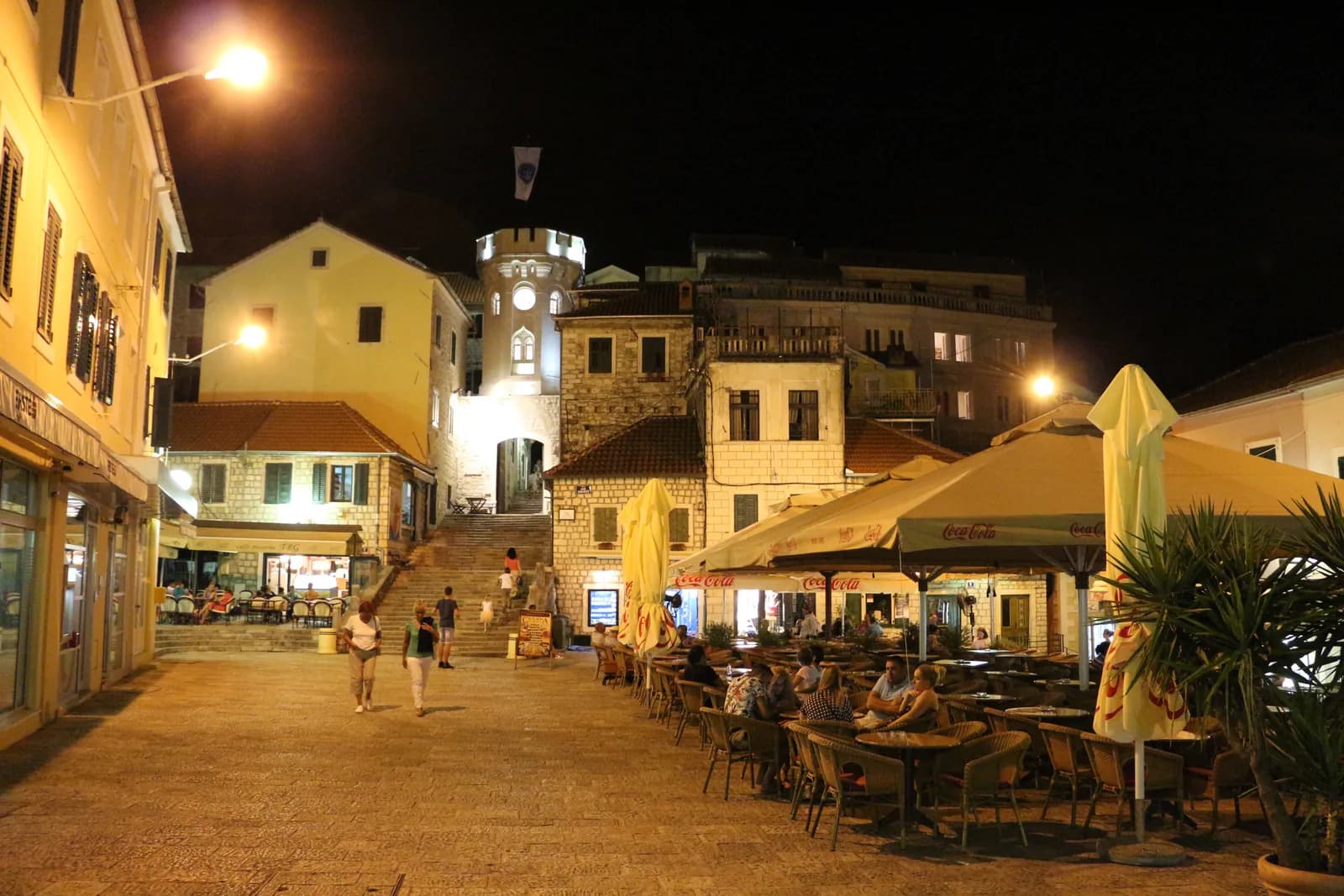 Herceg NoviSahat kulaSixteen metres of Ottoman gatehouse with a Russian bell, a Black Madonna and two dates that cannot both be right.
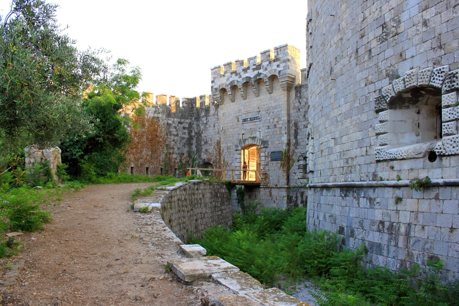 Lastavica islandMamulaAn island that is almost entirely fortress, where 2,332 people were imprisoned and 130 died, and where you can now book a room.
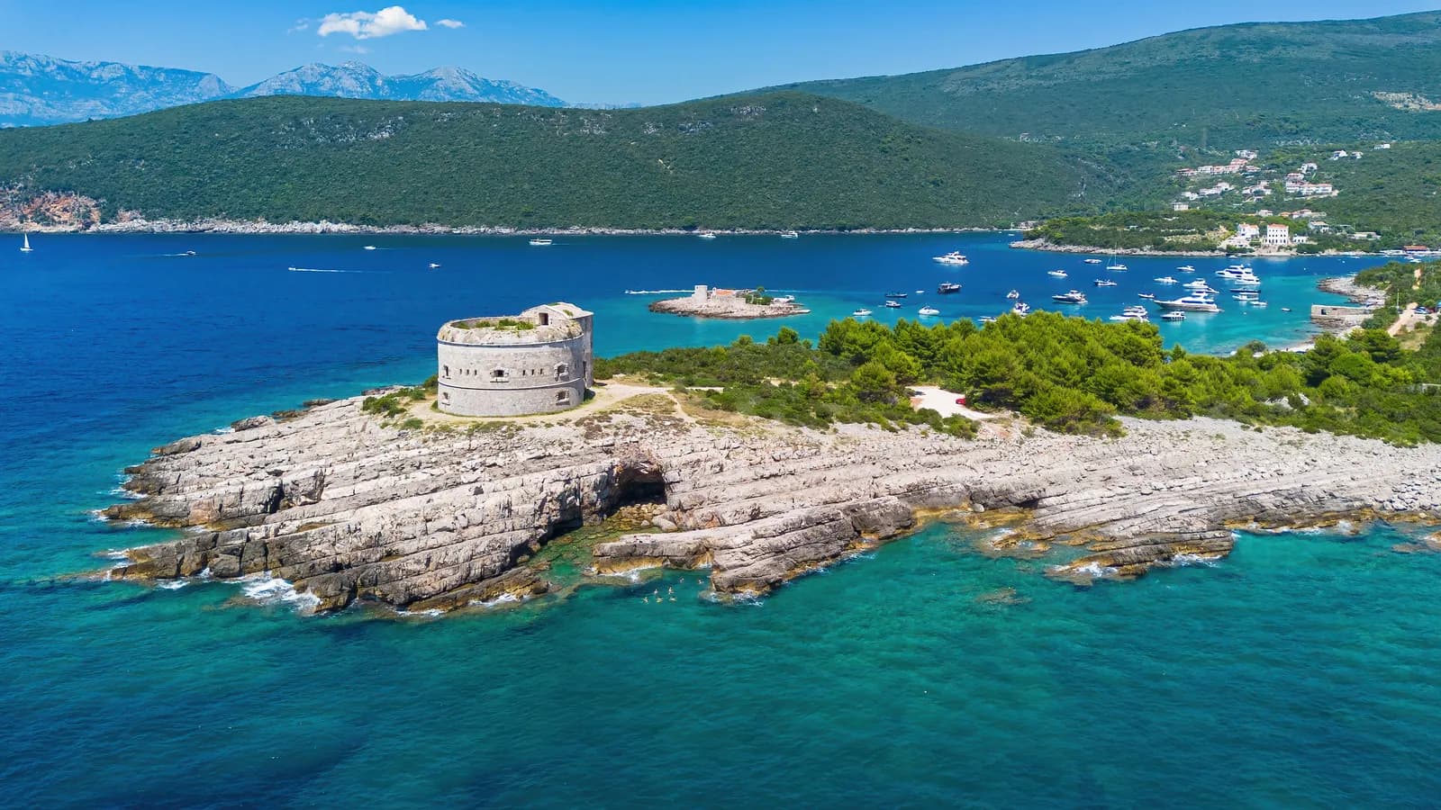 Luštica peninsulaArzaThe third gun of a three-gun gate, garrisoned by ninety-two men, sold in 2009, and the only fortress in Montenegro you cannot get into.
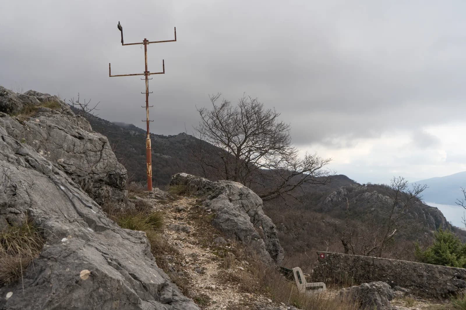 Above KamenoTajno brdoSecret Hill: a battlefield, an Austro-Hungarian gun position, a tunnel system, an execution ground and a Cold War bunker — all on the same 490 metres.
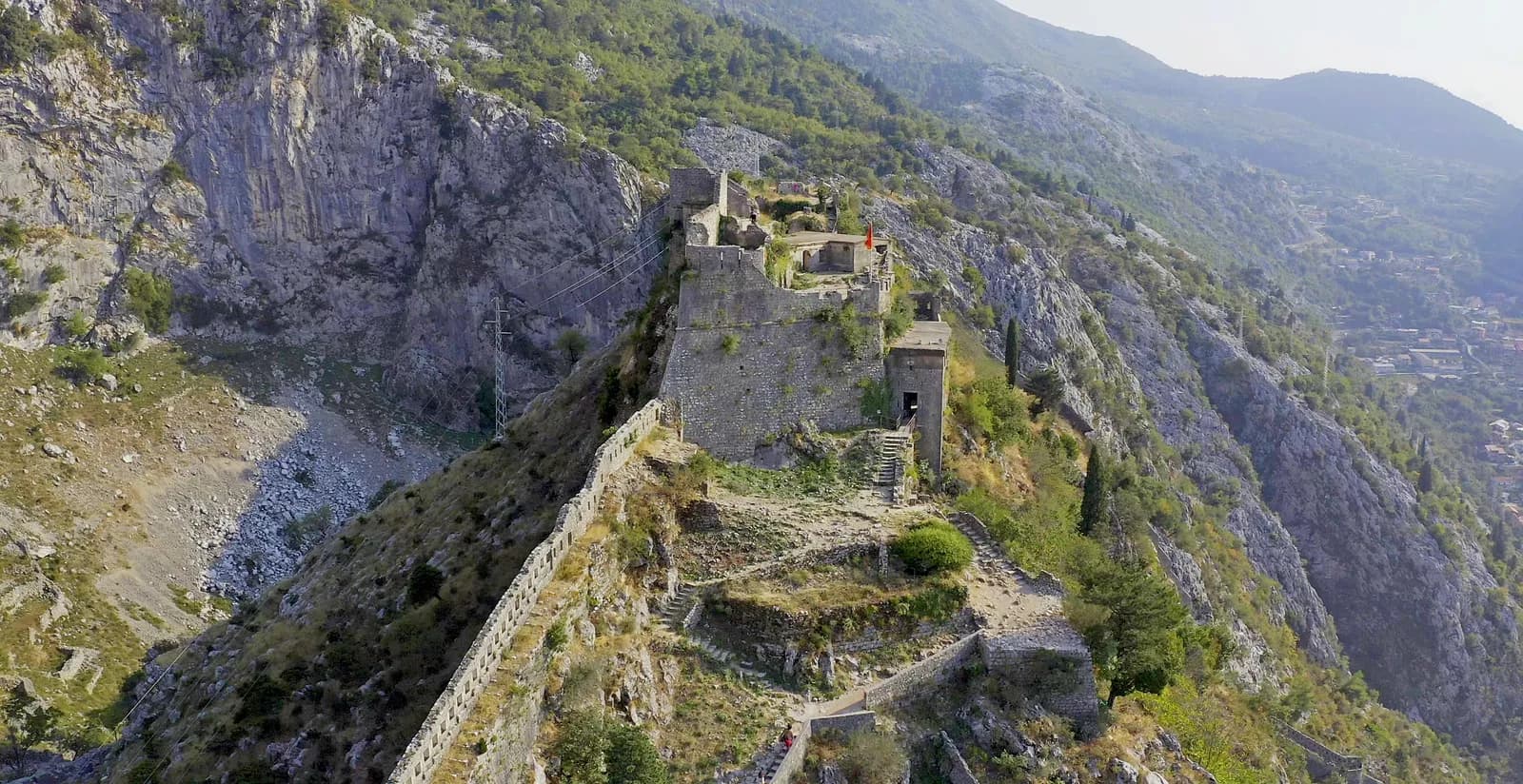 KotorSan GiovanniFour and a half kilometres of fortification climbing 260 metres of cliff, built by four civilisations, and listed by UNESCO and declared in danger on the same day.
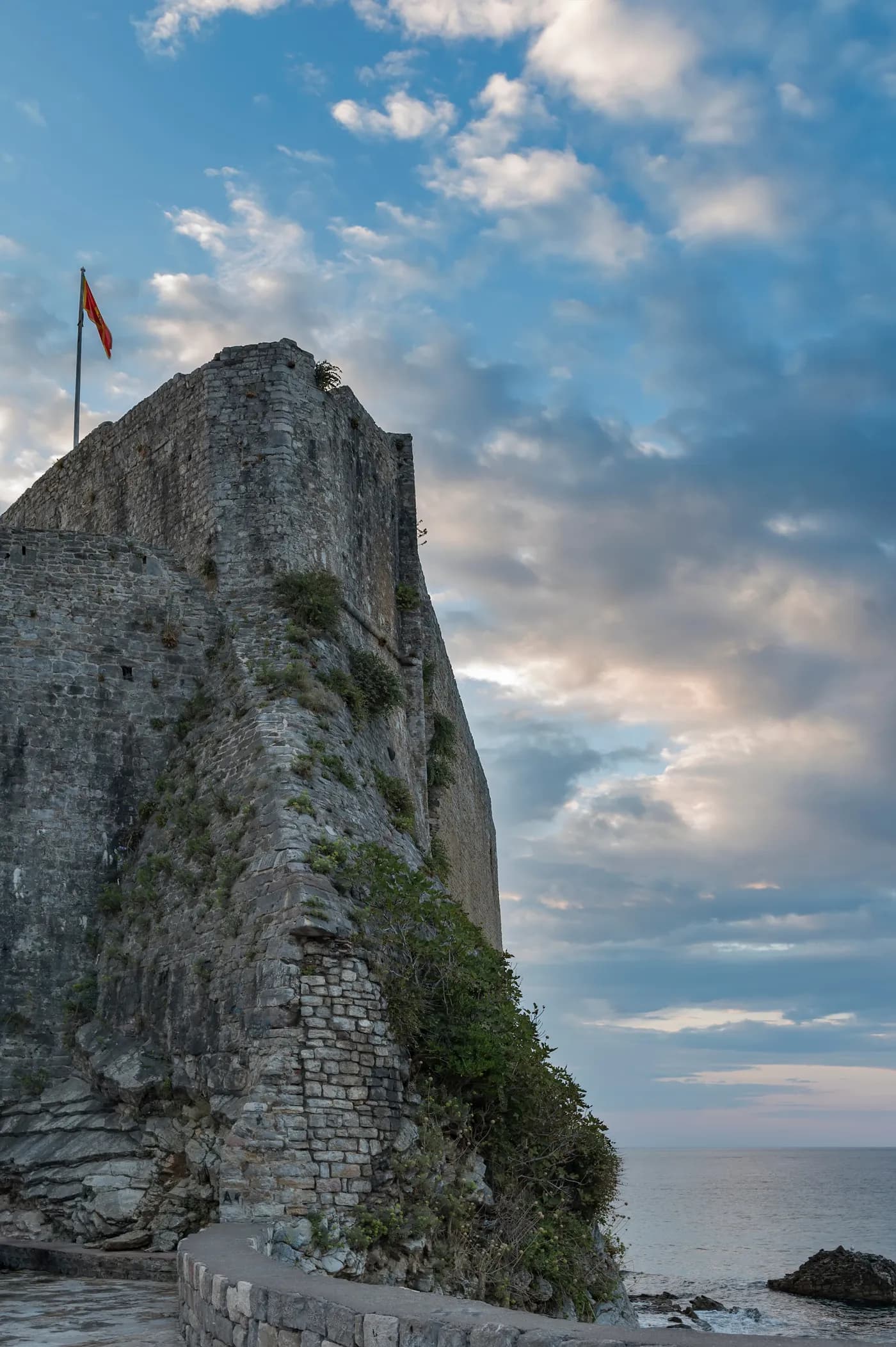 BudvaCitadelaA Venetian sea fortress on the corner of a walled town, flattened in ninety seconds in 1979 and put back by 1987.
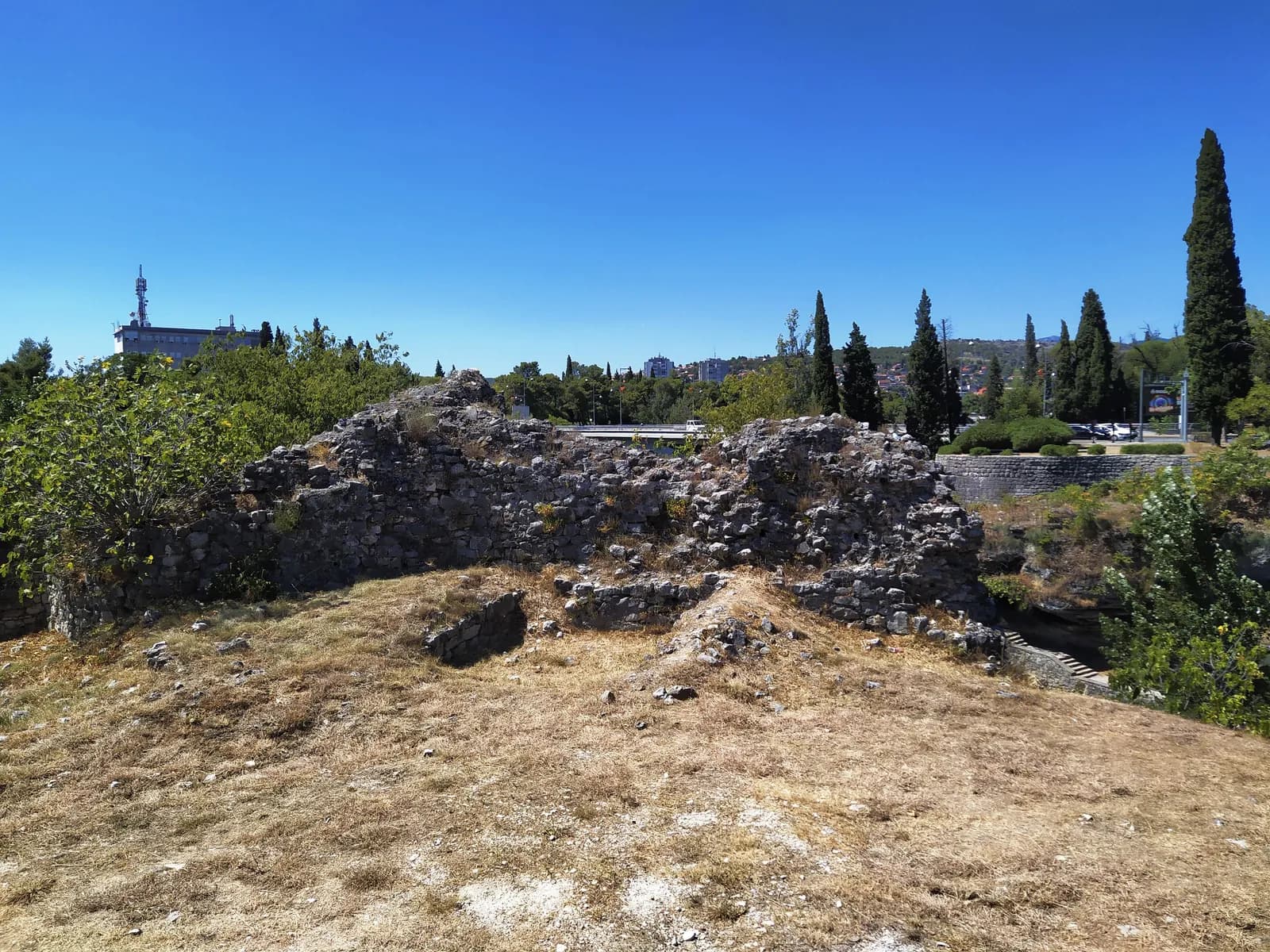 PodgoricaRibnicaAn Ottoman fortress on the point where two rivers meet, popularly named after a dynasty that had nothing to do with building it.
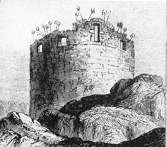 CetinjeTabljaA round gun tower built in 1833, never completed, used to display the heads of enemies until 1850, turned into a belfry, and pulled down in 1938 to clear space for a cathedral.
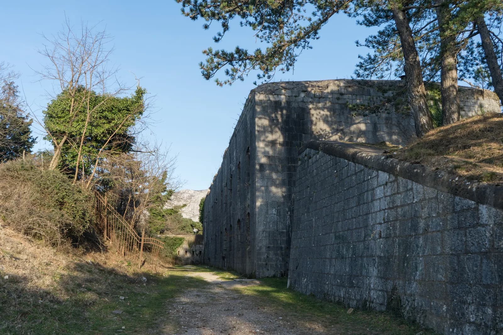 KotorFort VrmacA concrete pentagon at 480 metres with four Škoda cupolas on its roof, bombarded for two years by an army it could not reach, and patched up the moment that army was pushed away.
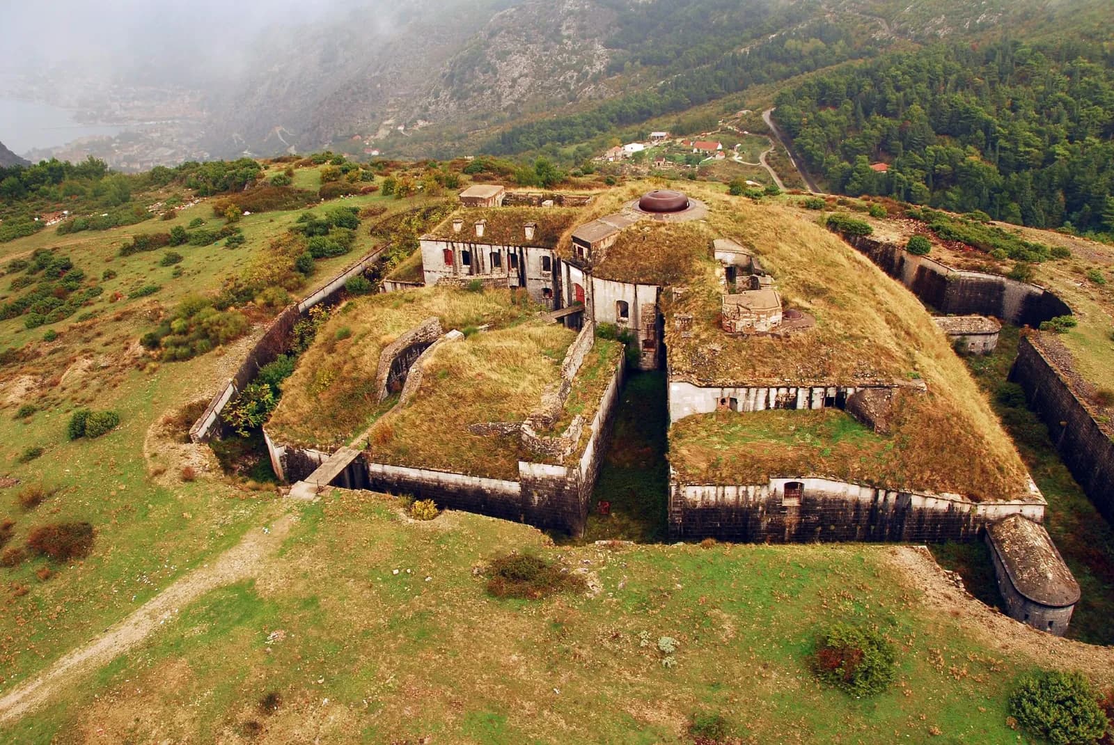 KotorFort GorazdaA hundred tonnes of German armour turned by two men with a crank — and the only one of its kind left anywhere in the world.
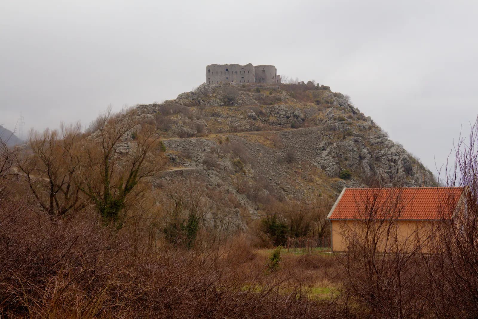 BrajićiFort KosmačThe southernmost fortress Austria-Hungary ever built, on a hill where three empires met, now a roofless shell with its staircase in a heap on the ground floor.
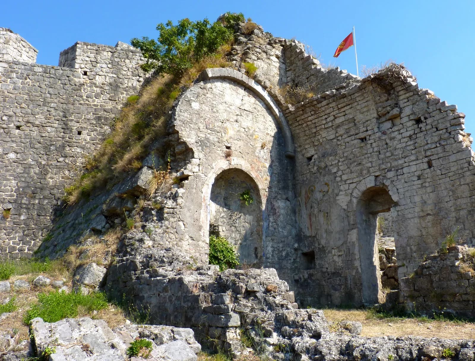 BarStari BarFour and a half hectares of walled town with two hundred and forty buildings in it — taken in 1878 by blowing up the aqueduct, and empty ever since.
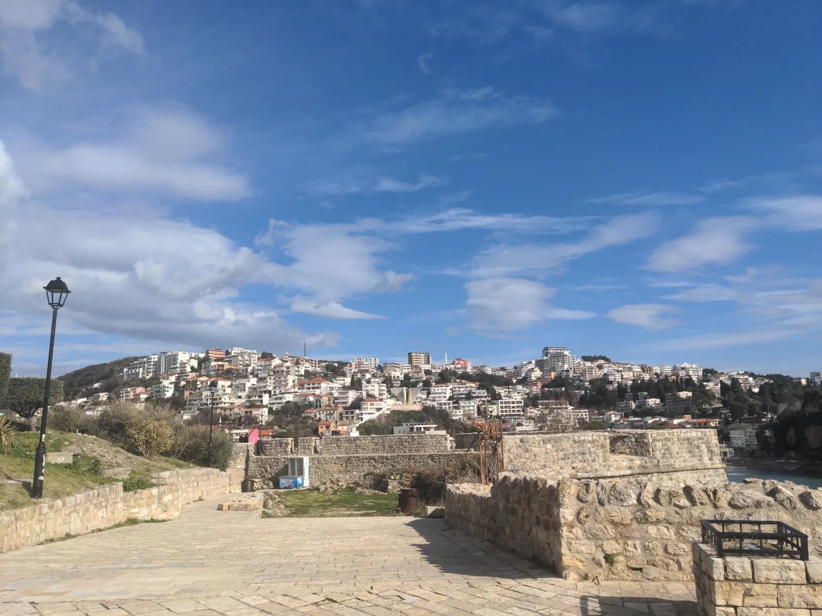 UlcinjKalajaIllyrian walls, a Balšić tower with an Ottoman dome on it, four hundred corsair ships, and the Adriatic's largest slave market — in a square now named after Cervantes.
25 + 1
cities + heritage place
2,000+
years connected
Open
sources for each scene
HTML
journalism for search
Not nostalgia. Evidence.
Each scene connects archival material, verified history, visible details, practical travel guides and places to stay. The interaction creates wonder; the reporting makes it useful.
Interactive archive
Drag the divider, choose an era, then open the numbered details. Each scene includes its archive and institutional sources.
26 places · swipe or use the arrows
Bocche di Cattaro
42.4247° N · 18.7712° E
Il profilo della montagna quasi non si muove. Quasi tutto ciò che sta sotto, sì. Trascina il cursore su Kotor e segui un porto adriatico in piena attività fino alla città di oggi.
Selected chapter
Select a numbered marker to inspect the image.
Visual record timeline
Select a visual record. The chronology moves to its chapter.
Full chronology
Choose a chapter
Read the evidence
A visual reading guide for the shoreline, settlement and enduring form.
Le fotografie sono state scattate da punti panoramici vicini sulle pendici, non da una posizione di ripresa identica. Confronta la linea di costa, le mura e l'impronta urbana, non la sovrapposizione esatta.
Use the archive as the beginning of the trip—not a dead end. Continue into the practical guide or find a base nearby.
A local lens for every edition
Per il pubblico italiano: seguite le tracce veneziane, l’architettura adriatica e i rapporti marittimi che collegano Cattaro alle città della costa italiana.
This is the first market-specific editorial layer. Future chapters can change comparisons, recommended reading and oral histories by language—not merely translate interface labels.