Cima · Bjelasica e i Komovi · 2487 m
Kom Kučki
Il nostro giudizio
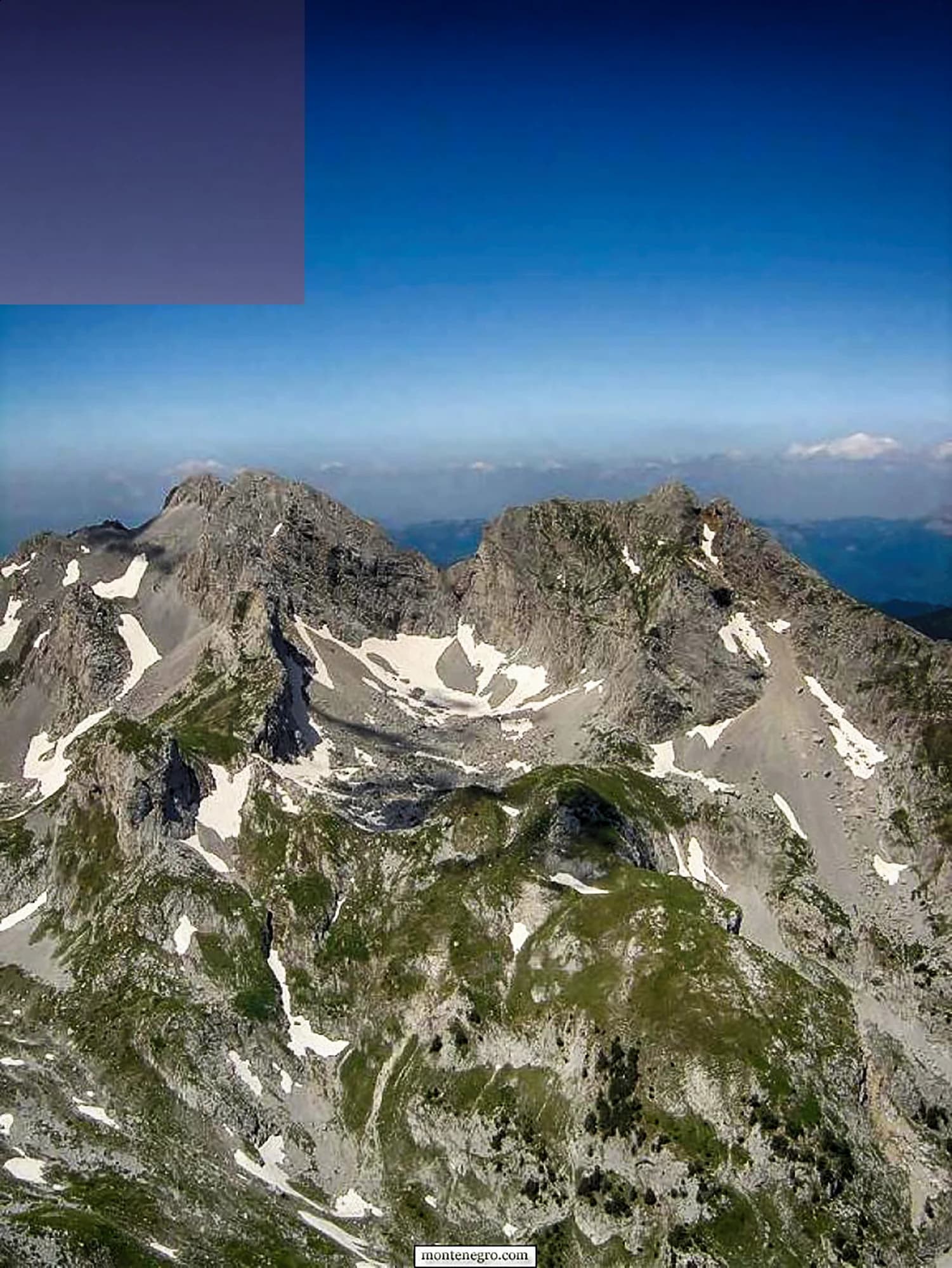
I Komovi sono tre vette che si ergono quasi isolate sopra i pascoli tra Andrijevica e Kolašin, e il Kom Kučki è la più alta, con 2.487 m. L'avvicinamento dal pascolo di Štavna è breve, il tratto finale è un'arrampicata facile e l'isolamento rende la vista più ampia di quanto suggerisca la quota.
La parte onesta
Tre vette portano il nome Kom — Kučki, Vasojevićki e Ljevorečki — e le descrizioni degli itinerari online le confondono di continuo. La strada sterrata per Štavna è dissestata e non c'è segnale una volta lasciata Andrijevica.
Quando andare
Da fine giugno a inizio ottobre. I pascoli sottostanti sono utilizzati per tutta l'estate e i katun sono abitati.
- Giornata di cima
- Panorami
- Fiori di montagna
- Cielo buio
Dove si trovano
Quanto è lontano, e quanto si sale
Dal primo posto dove parcheggiare, Kom Kučki sono 4.36 km di cammino e 974 m di salita, partendo da 1777 m.
- Distanza
- 4.36 km
- Dislivello
- 974 m
- Da
- 1777 m
- A
- 2407 m
Misurato sulla rete di sentieri di OpenStreetMap dal nodo più vicino raggiungibile in auto, con quote dal DEM Copernicus campionate in cento punti. Il dislivello è la salita totale, comprese le contropendenze, non la differenza fra i due estremi. Un modello a 90 m addolcisce i gradoni brevi: prendilo come un minimo.
Nessun tempo di percorrenza, per scelta. Distanza e dislivello si misurano; il passo è di chi cammina. Ogni «quattro o cinque ore» in rete è una stima travestita da numero.
La salita perde anche 344 m, cosa che un valore netto nasconderebbe.
Quando c’è neve
Su Kom Kučki un manto di 30 cm di solito è sparito da mag a nov. Fuori da quella finestra, conta sulla neve al suolo.
In archivio il terreno è scesso stabilmente sotto 5 cm verso il 17 aprile ed è tornato sotto la neve verso il 2 dicembre. Sono mediane di undici anni, non una promessa su questo.
| Mese | Oltre 1 cm | Manto oltre 30 cm | Spessore medio | Massima diurna |
|---|---|---|---|---|
| gen | 95% | 65% | 38 cm | -6.0 °C |
| feb | 92% | 58% | 47 cm | -3.7 °C |
| mar | 87% | 49% | 44 cm | -1.6 °C |
| apr | 59% | 25% | 22 cm | 2.8 °C |
| mag | 10% | 1% | 1 cm | 7.3 °C |
| giu | — | — | — | 12.6 °C |
| lug | — | — | — | 15.6 °C |
| ago | — | — | — | 15.7 °C |
| set | — | — | — | 10.9 °C |
| ott | 7% | — | — | 6.4 °C |
| nov | 26% | — | 2 cm | 1.3 °C |
| dic | 70% | 22% | 15 cm | -3.3 °C |
Gli inverni variano più di quanto suggerisca qualsiasi media. In 10 inverni Kom Kučki ha tenuto un manto di 30 cm per 46 giorni in mediana: 0 nel 2019 e 129 nel 2020. Undici inverni sono un archivio, non un clima, e qui niente è una tendenza.
| Inverno | Giorni oltre 30 cm | Massimo |
|---|---|---|
| 2015–16 | 25 | 46 cm |
| 2016–17 | 46 | 66 cm |
| 2017–18 | 118 | 122 cm |
| 2018–19 | 94 | 97 cm |
| 2019–20 | — | 24 cm |
| 2020–21 | 129 | 127 cm |
| 2021–22 | 123 | 85 cm |
| 2022–23 | 33 | 53 cm |
| 2023–24 | — | 24 cm |
| 2024–25 | 40 | 65 cm |
Le temperature sono corrette a 2407 m, la quota del terreno nel punto interrogato; la cima è a 2487 m. Lo spessore della neve non è corretto: è una cella di circa nove chilometri, quindi va letto come il massiccio e non come la cima.
Rianalisi ERA5-Land (Copernicus), servita da Open-Meteo.
Kom Kučki, in numeri
La montagna
| Cima | 2487 mOpenStreetMap peak node, ele 2487 (Q3198500) |
|---|---|
| Massiccio | Bjelasica e i Komovi |
| Tipo | Cima |
| Quota di riferimento | 2407 mLa quota a cui è corretto l’archivio delle temperature. La cima è a 2487 m. |
Come salirci
| Punto di partenza | Štavna, l'alto pascolo tra i Kom |
|---|---|
| Difficoltà | Tratti di arrampicata |
| Strada | Sterrata fino a Štavna |
| Parcheggio | Lungo la strada |
| Autobus | Non verificato |
| Percorso segnato | Sì |
Là in alto
| Rifugio | Koliba PSD Željezničar a Štavna |
|---|---|
| Acqua | Sorgenti mappate entro 4 km |
| Cibo | Al rifugio |
| Servizi | Non verificato |
| Ricovero | Sì |
| Copertura mobile | No |
Pericoli
- Arrampicata facile vicino alla vetta
- Nessuna copertura mobile
- Strada d'accesso dissestata
Dati verificati sulle loro fonti per l’ultima volta il 30 settembre 2026.
Da dove vengono questi dati
- OpenStreetMap natural=spring and amenity=drinking_water nodes within 4 km for the water field
- OpenStreetMap peak nodes for all three Koms
- Our Komovi guide
- Open-Meteo ERA5-Land archive 2015–2025 for the snow and temperature record
Fotografie
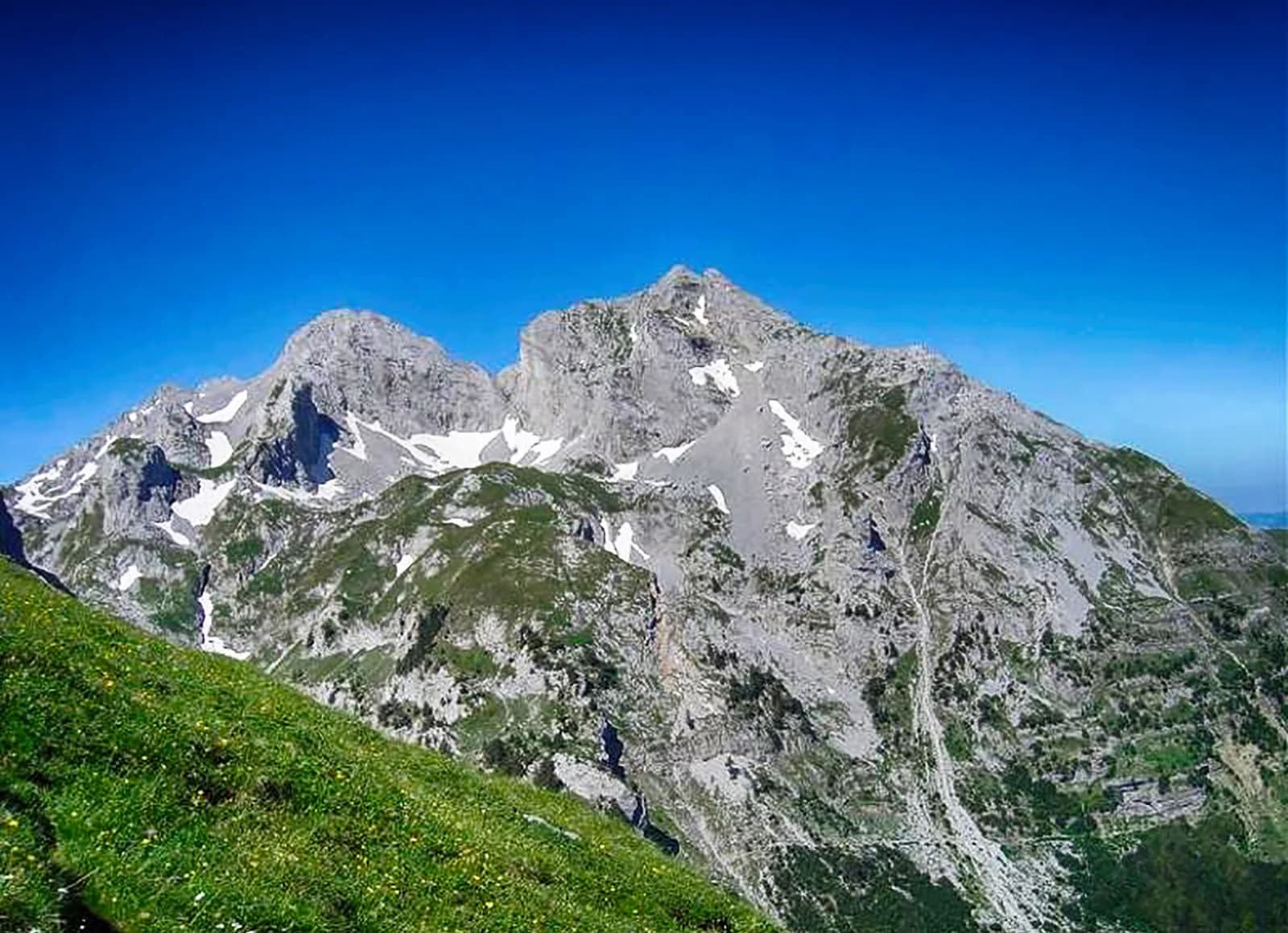
L'avvicinamento ai Kom attraverso il pascolo 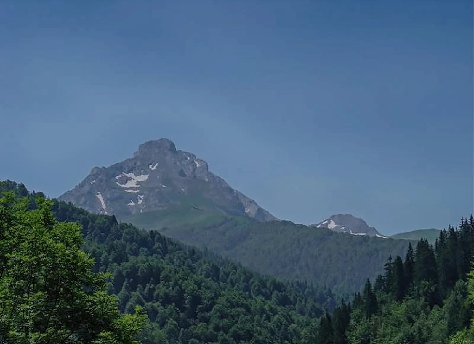
Calcare ed erba sui Komovi 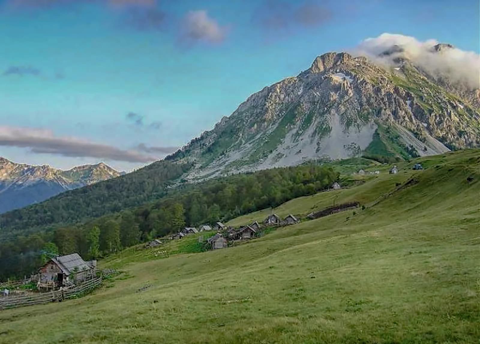
Un katun sotto i Kom
