Parco nazionale · Bjelasica e i Komovi · 2139 m
Biogradska Gora
Nacionalni park Biogradska gora
Il nostro giudizio
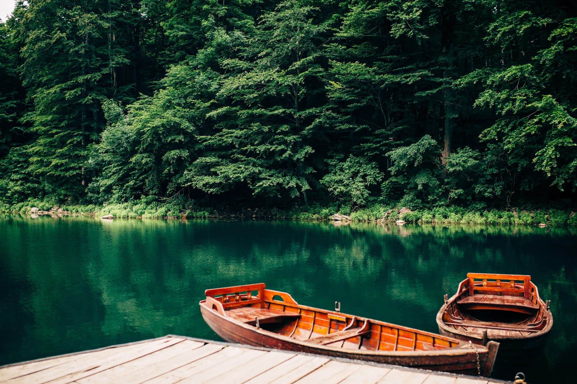
Una delle ultime foreste primarie d'Europa, e la ragion d'essere del parco: alberi mai tagliati, alcuni vecchi di cinquecento anni, attorno a un lago glaciale di cui si può fare il giro in un'ora in piano. È il più dolce dei cinque parchi e il più facile da visitare con i bambini.
La parte onesta
Il giro del lago è il parco e quasi tutti si fermano lì. Le creste della Bjelasica alle sue spalle sono tutt'altra cosa, con molta meno gente. In piena estate il parcheggio in riva al lago si riempie entro metà mattina.
Quando andare
Da maggio a ottobre per la foresta e il lago. La strada d'accesso viene tenuta aperta, ma le zone più alte conservano la neve fino alla primavera.
- Famiglie
- Foresta vetusta
- Laghi
- Escursione in giornata
- Si arriva in auto
Dove si trovano
Quanto è lontano, e quanto si sale
Nessuna via unica: la coordinata di un parco è il centro di un confine, non un posto dove si cammina. Le vie stanno nelle pagine delle sue cime.
Quando c’è neve
Su Biogradska Gora un manto di 30 cm di solito è sparito da mag a nov. Fuori da quella finestra, conta sulla neve al suolo.
In archivio il terreno è scesso stabilmente sotto 5 cm verso il 9 aprile ed è tornato sotto la neve verso il 2 dicembre. Sono mediane di undici anni, non una promessa su questo.
| Mese | Oltre 1 cm | Manto oltre 30 cm | Spessore medio | Massima diurna |
|---|---|---|---|---|
| gen | 95% | 57% | 33 cm | 1.8 °C |
| feb | 91% | 51% | 39 cm | 4.5 °C |
| mar | 82% | 50% | 37 cm | 6.8 °C |
| apr | 55% | 21% | 20 cm | 11.6 °C |
| mag | 8% | 1% | 1 cm | 15.7 °C |
| giu | — | — | — | 20.7 °C |
| lug | — | — | — | 23.6 °C |
| ago | — | — | — | 23.6 °C |
| set | — | — | — | 18.8 °C |
| ott | 8% | — | 1 cm | 14.1 °C |
| nov | 28% | — | 2 cm | 9.0 °C |
| dic | 72% | 20% | 13 cm | 4.6 °C |
Gli inverni variano più di quanto suggerisca qualsiasi media. In 10 inverni Biogradska Gora ha tenuto un manto di 30 cm per 42 giorni in mediana: 0 nel 2019 e 127 nel 2020. Undici inverni sono un archivio, non un clima, e qui niente è una tendenza.
| Inverno | Giorni oltre 30 cm | Massimo |
|---|---|---|
| 2015–16 | 32 | 47 cm |
| 2016–17 | 35 | 57 cm |
| 2017–18 | 77 | 87 cm |
| 2018–19 | 95 | 86 cm |
| 2019–20 | — | 19 cm |
| 2020–21 | 127 | 114 cm |
| 2021–22 | 108 | 76 cm |
| 2022–23 | 33 | 53 cm |
| 2023–24 | — | 21 cm |
| 2024–25 | 42 | 63 cm |
Le temperature sono corrette a 1142 m, la quota del terreno nel punto interrogato; la cima è a 2139 m. Lo spessore della neve non è corretto: è una cella di circa nove chilometri, quindi va letto come il massiccio e non come la cima.
Rianalisi ERA5-Land (Copernicus), servita da Open-Meteo.
Biogradska Gora, in numeri
La montagna
| Cima | 2139 mCrna glava, the Bjelasica summit inside the park, commonly given as 2,139 m |
|---|---|
| Massiccio | Bjelasica e i Komovi |
| Tipo | Parco nazionale |
| Quota di riferimento | 1142 mLa quota a cui è corretto l’archivio delle temperature. La cima è a 2139 m. |
Come salirci
| Punto di partenza | Il lago, raggiungibile con una breve strada del parco che si stacca dalla statale Kolašin–Mojkovac |
|---|---|
| Difficoltà | Una passeggiata |
| Strada | Asfaltata fino al lago |
| Parcheggio | A pagamento |
| Autobus | Kolašin e Mojkovac sono entrambe sulla linea Belgrado–Bar |
| Percorso segnato | Sì |
Là in alto
| Rifugio | Katun Dolovi Lalevica, a 2,6 km |
|---|---|
| Acqua | Sorgenti mappate entro 4 km |
| Cibo | Ristorante |
| Servizi | Sì |
| Ricovero | Non verificato |
| Copertura mobile | Non verificato |
Il parco
| Superficie | 57,7 km²Misurata dalla relazione OpenStreetMap 7126576. Viene spesso indicata in 54 km² o 5.650 ha. |
|---|---|
| Ingresso | Non verificato |
Regole da conoscere
- Campeggio consentito solo nell'area in riva al lago
- Fuochi solo nei punti predisposti
Dati verificati sulle loro fonti per l’ultima volta il 30 settembre 2026.
Da dove vengono questi dati
- OpenStreetMap natural=spring and amenity=drinking_water nodes within 4 km for the water field
- OpenStreetMap tourism=alpine_hut and wilderness_hut nodes for the nearest mountain hut and its distance
- OpenStreetMap relation 7126576 for the boundary and area
- Our Biogradsko Jezero guide
- Open-Meteo ERA5-Land archive 2015–2025 for the snow and temperature record
Fotografie
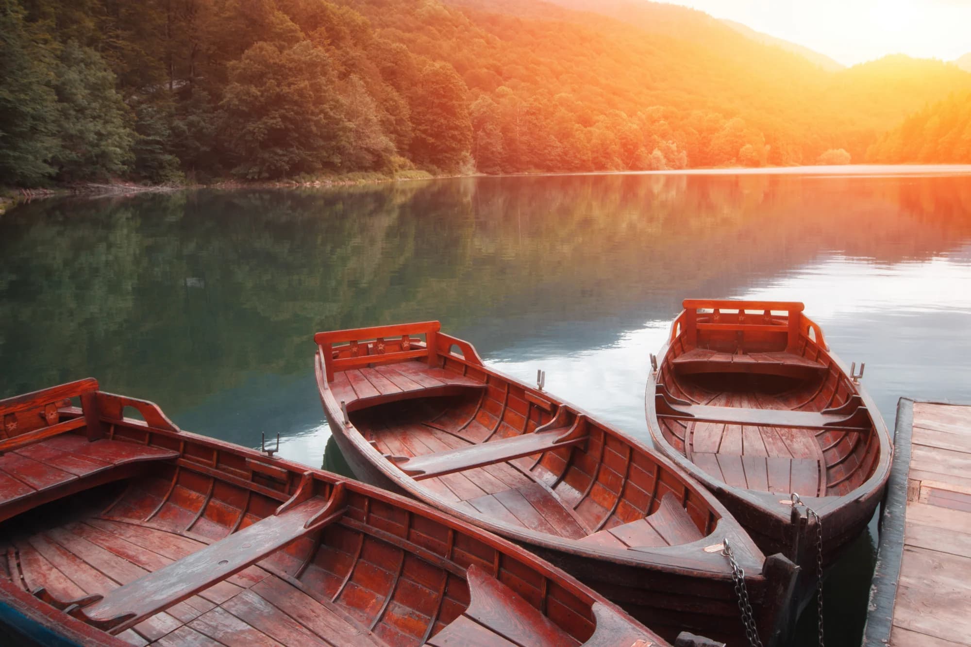
Alberi secolari a Biogradska Gora 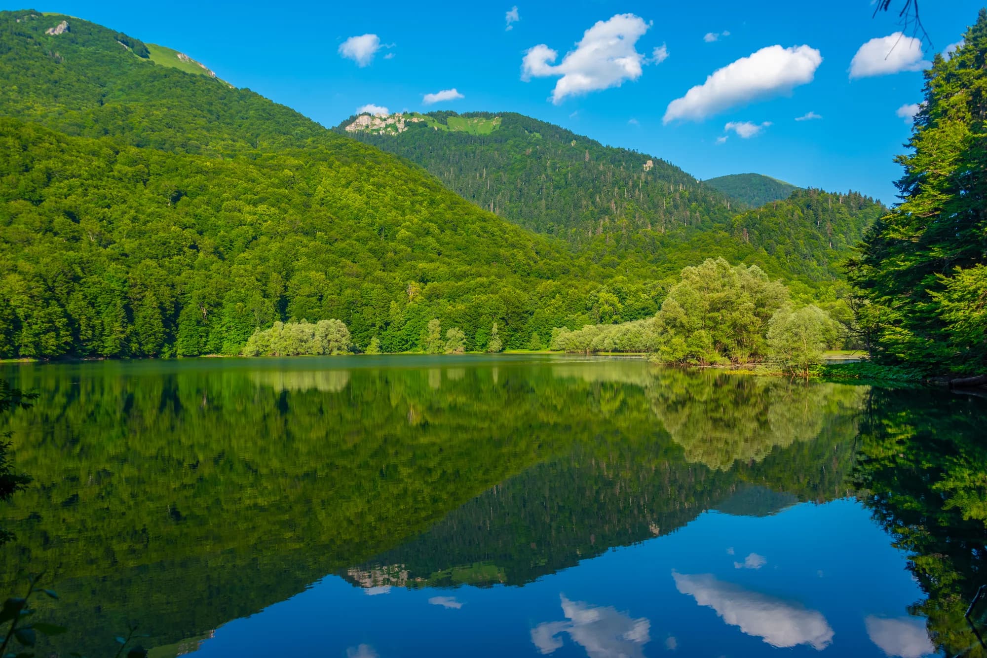
Il sentiero in riva al lago


