Parque nacional · Bjelasica y los Komovi · 2139 m
Biogradska Gora
Nacionalni park Biogradska gora
Nuestro veredicto
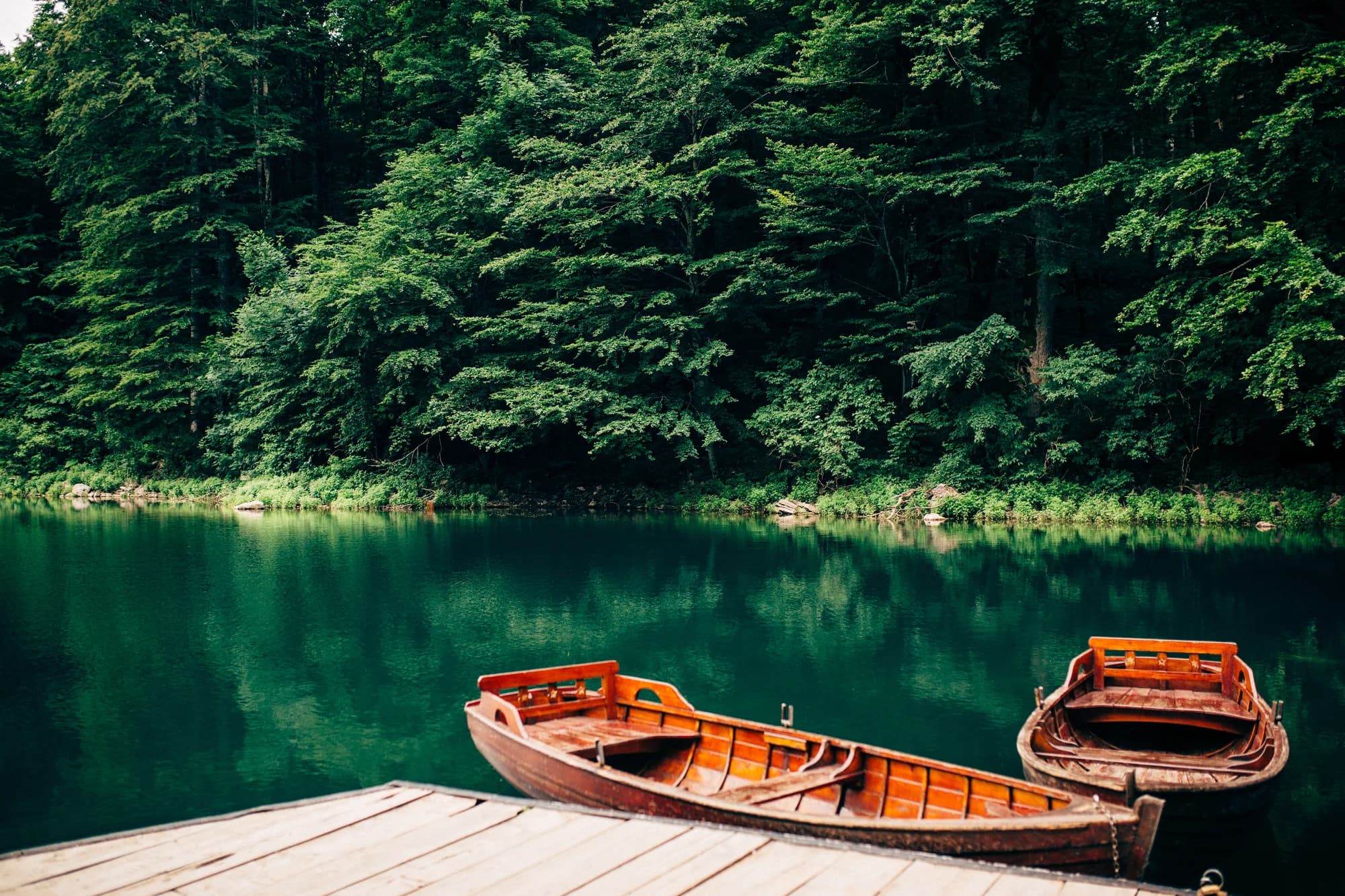
Uno de los últimos bosques primarios de Europa, y la razón de ser del parque: árboles que nunca se han talado, algunos de quinientos años, alrededor de un lago glaciar que se puede rodear en una hora por terreno llano. Es el más suave de los cinco parques y el más fácil de visitar con niños.
La parte honesta
El circuito del lago es el parque y casi todo el mundo se queda ahí. Las crestas de Bjelasica que hay detrás son otra cosa, con mucha menos gente. En pleno verano, el aparcamiento junto al lago se llena a media mañana.
Cuándo ir
De mayo a octubre para el bosque y el lago. La carretera de acceso se mantiene abierta, pero las zonas más altas conservan nieve hasta la primavera.
- Familias
- Bosque primario
- Lagos
- Ruta de un día
- Se llega en coche
Dónde están
Cuánto hay, y cuánto se sube
No hay una ruta única: la coordenada de un parque es el centro de un límite, no un sitio al que se camine. Las rutas están en las páginas de sus cumbres.
Cuándo hay nieve
En Biogradska Gora la base de 30 cm suele haber desaparecido de may a nov. Fuera de esa ventana, cuente con nieve en el suelo.
En el registro el suelo quedó de forma fiable por debajo de 5 cm hacia el 9 de abril y volvió a cubrirse hacia el 2 de diciembre. Son medianas de once años, no una promesa sobre este.
| Mes | Más de 1 cm | Base de más de 30 cm | Espesor medio | Máxima diurna |
|---|---|---|---|---|
| ene | 95 % | 57 % | 33 cm | 1.8 °C |
| feb | 91 % | 51 % | 39 cm | 4.5 °C |
| mar | 82 % | 50 % | 37 cm | 6.8 °C |
| abr | 55 % | 21 % | 20 cm | 11.6 °C |
| may | 8 % | 1 % | 1 cm | 15.7 °C |
| jun | — | — | — | 20.7 °C |
| jul | — | — | — | 23.6 °C |
| ago | — | — | — | 23.6 °C |
| sept | — | — | — | 18.8 °C |
| oct | 8 % | — | 1 cm | 14.1 °C |
| nov | 28 % | — | 2 cm | 9.0 °C |
| dic | 72 % | 20 % | 13 cm | 4.6 °C |
Los inviernos varían más de lo que sugiere cualquier media. En 10 inviernos Biogradska Gora mantuvo una base de 30 cm una mediana de 42 días: 0 en 2019 y 127 en 2020. Once inviernos son un registro, no un clima, y aquí nada es una tendencia.
| Invierno | Días con más de 30 cm | Máximo |
|---|---|---|
| 2015–16 | 32 | 47 cm |
| 2016–17 | 35 | 57 cm |
| 2017–18 | 77 | 87 cm |
| 2018–19 | 95 | 86 cm |
| 2019–20 | — | 19 cm |
| 2020–21 | 127 | 114 cm |
| 2021–22 | 108 | 76 cm |
| 2022–23 | 33 | 53 cm |
| 2023–24 | — | 21 cm |
| 2024–25 | 42 | 63 cm |
Las temperaturas están corregidas a 1142 m, la altura del terreno en el punto que consultamos; la cumbre está a 2139 m. El espesor de nieve no está corregido: es una celda de unos nueve kilómetros, así que léalo como el macizo y no como la cumbre.
Reanálisis de ERA5-Land (Copernicus), servido por Open-Meteo.
Biogradska Gora, en datos
La montaña
| Cumbre | 2139 mCrna glava, the Bjelasica summit inside the park, commonly given as 2,139 m |
|---|---|
| Macizo | Bjelasica y los Komovi |
| Tipo | Parque nacional |
| Altitud de referencia | 1142 mLa altitud a la que está corregido el registro de temperatura. La cumbre está a 2139 m. |
Cómo subir
| Inicio de la ruta | El lago, al que se llega por una corta carretera del parque desde la autovía Kolašin–Mojkovac |
|---|---|
| Dificultad | Un paseo |
| Carretera | Asfaltada hasta el lago |
| Aparcamiento | De pago |
| Autobús | Kolašin y Mojkovac están ambos en la línea Belgrado–Bar |
| Ruta señalizada | Sí |
Allí arriba
| Refugio | Katun Dolovi Lalevica, a 2,6 km |
|---|---|
| Agua | Manantiales cartografiados en 4 km |
| Comida | Restaurante |
| Aseos | Sí |
| Abrigo | Sin comprobar |
| Cobertura móvil | Sin comprobar |
El parque
| Superficie | 57,7 km²Medida a partir de la relación de OpenStreetMap 7126576. Se suele citar como 54 km² o 5.650 ha. |
|---|---|
| Entrada | Sin comprobar |
Normas que conviene conocer
- Acampada solo en la zona junto al lago
- Fuego solo en los lugares habilitados
Datos comprobados por última vez contra sus fuentes el 30 de septiembre de 2026.
De dónde vienen estos datos
- OpenStreetMap natural=spring and amenity=drinking_water nodes within 4 km for the water field
- OpenStreetMap tourism=alpine_hut and wilderness_hut nodes for the nearest mountain hut and its distance
- OpenStreetMap relation 7126576 for the boundary and area
- Our Biogradsko Jezero guide
- Open-Meteo ERA5-Land archive 2015–2025 for the snow and temperature record
Fotografías
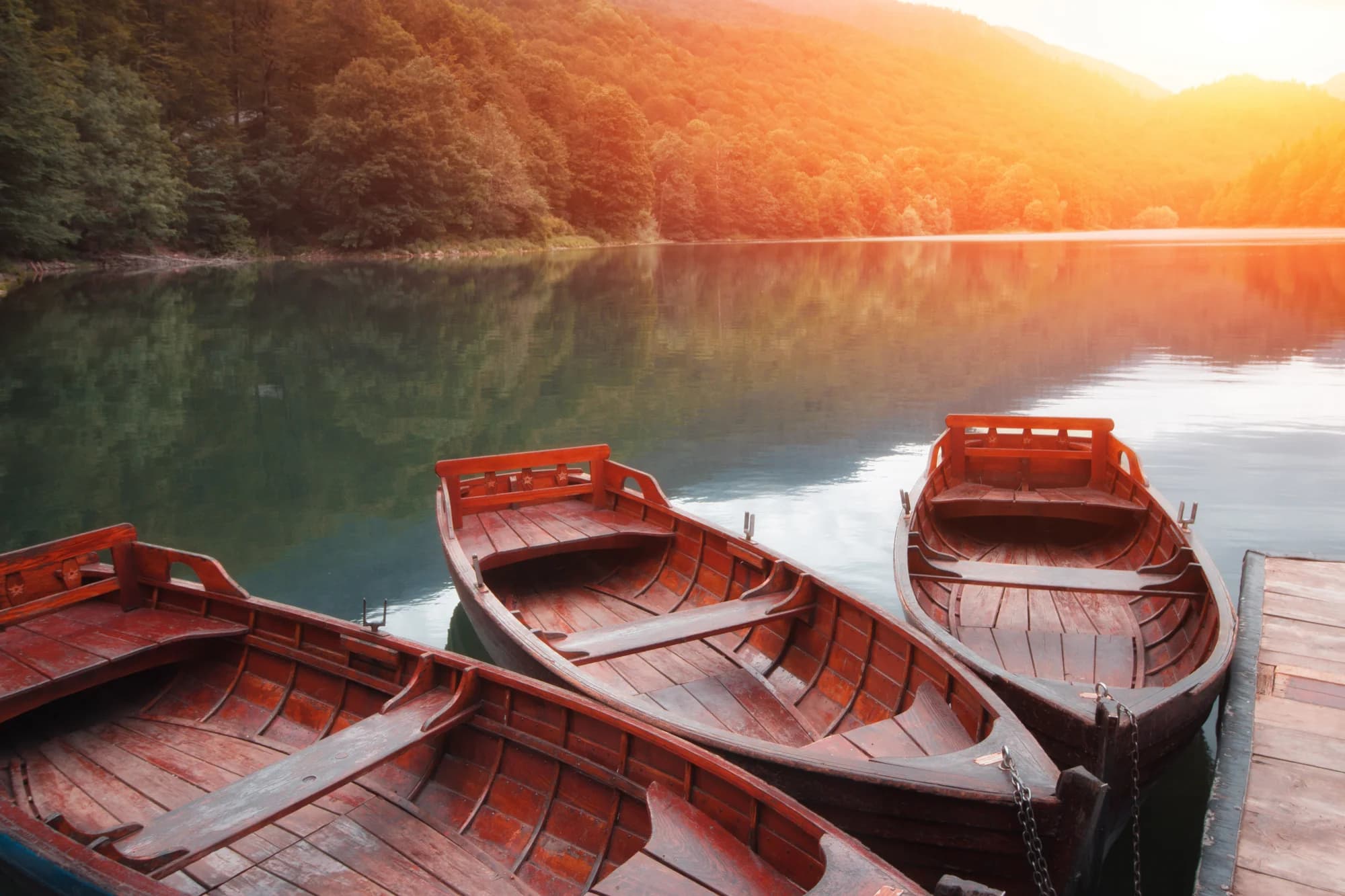
Árboles centenarios en Biogradska Gora 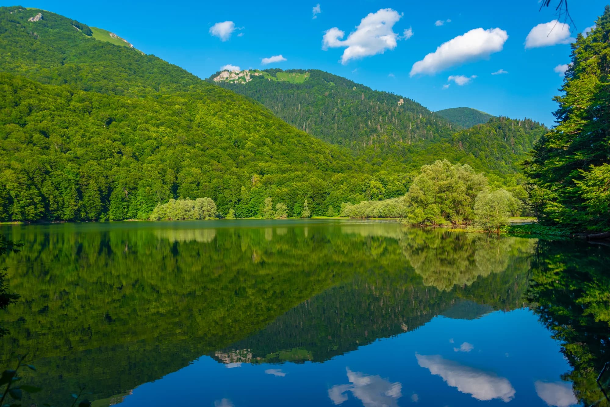
El sendero junto al lago


