El atlas de montaña
Las montañas de Montenegro, parque a parque y cumbre a cumbre
16 lugares: 5 parques nacionales, las cumbres que merecen la subida y las estaciones de esquí. Todos traen la respuesta que nadie más publica para este país: con qué frecuencia se mantiene la nieve, invierno a invierno, durante once años. El punto más alto es Prokletije, a 2535 m.
- Lugares
- 16
- Protegido
- 1037 km²
- Inviernos registrados
- 10
- Mediciones diarias
- 64.288
Dónde están
Todos los lugares del atlas. El tamaño del punto sigue la altitud, así que la espina montañosa del país se lee en el mapa. Pulse uno para saltar a su ficha más abajo.
Encuentre uno
Mostrando 16 de 16
Las opciones de una misma fila amplían el resultado; las de filas distintas lo estrechan. Arena y tranquilidad significa las dos cosas; Durmitor o Prokletije significa cualquiera de los dos.
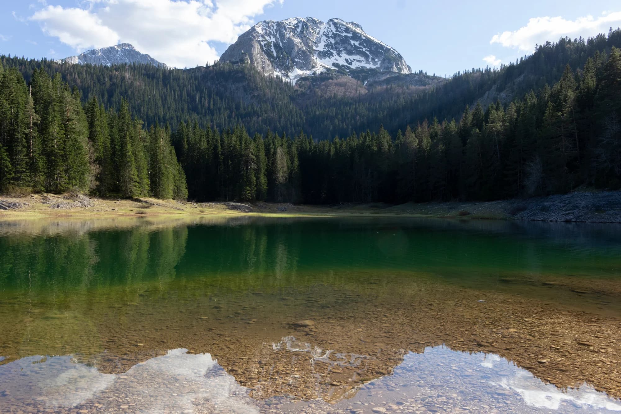
N.º 1 · Parque nacional · 2523 m
Durmitor
Nieve el 69 % de los días de enero
The massif that made Montenegro a mountain country: forty-eight summits over 2,000 m around a plateau of glacial lakes, inscribed by UNESCO in 1980.
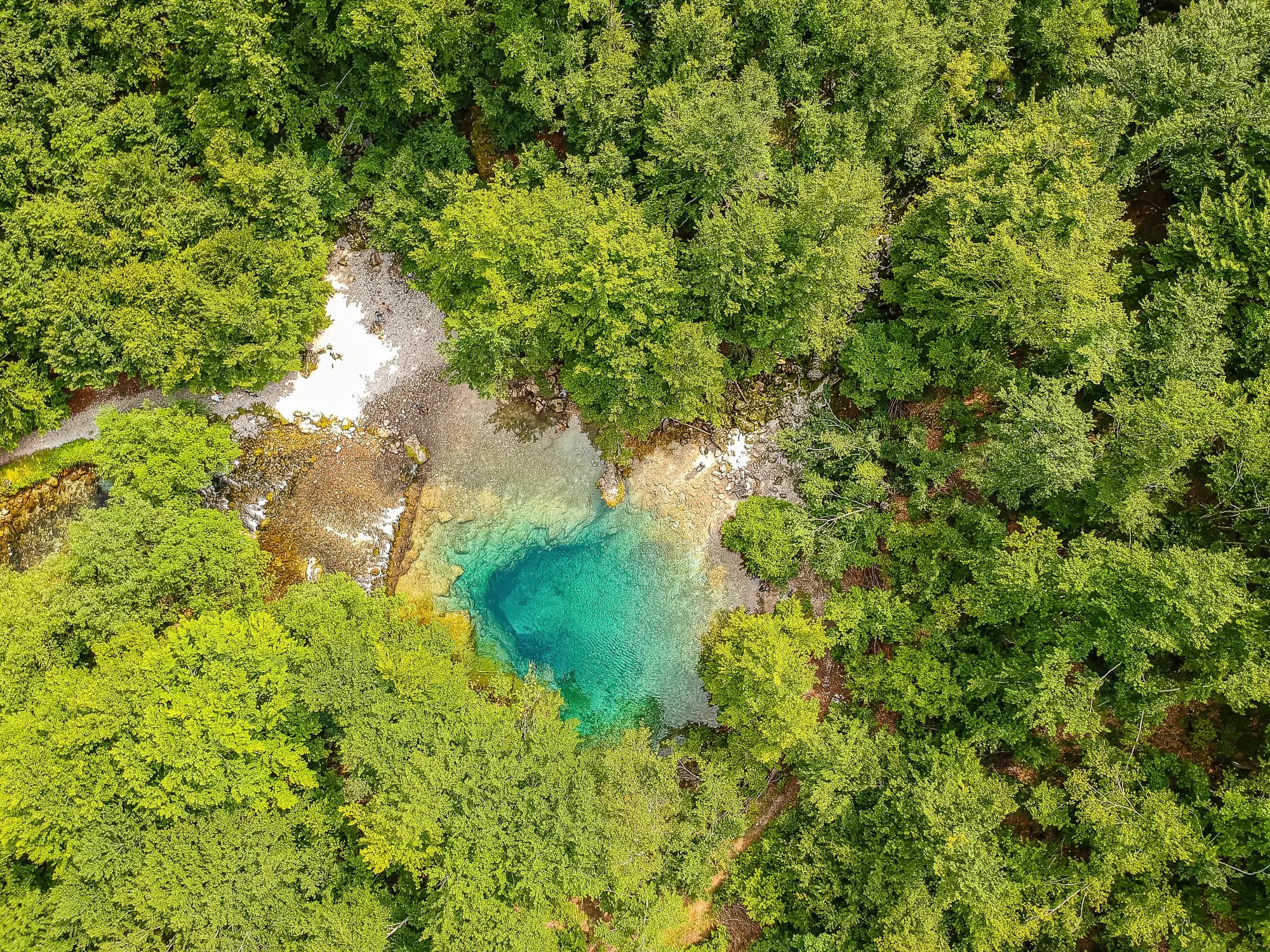
N.º 2 · Parque nacional · 2535 m
Prokletije
Nieve el 71 % de los días de enero
The most alpine ground in the country and the least visited: limestone walls above the Grebaje and Ropojana valleys, and Montenegro’s highest summit, Zla Kolata at 2,535 m, on the Albanian border.
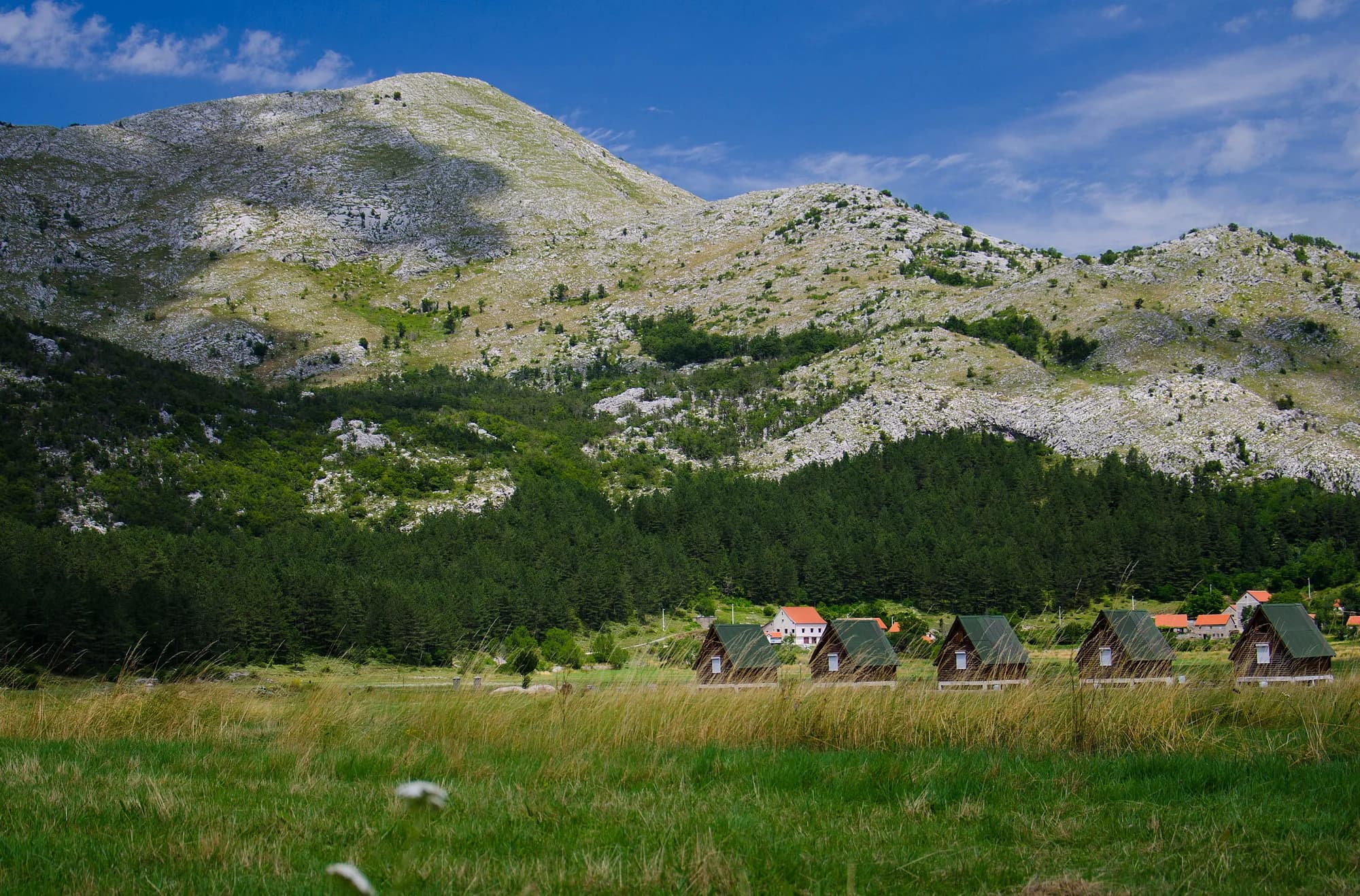 Cerca, no la cumbre
N.º 3 · Parque nacional · 1749 m
Lovćen
The black mountain the country is named after, and the one every visitor sees from the Kotor serpentines.
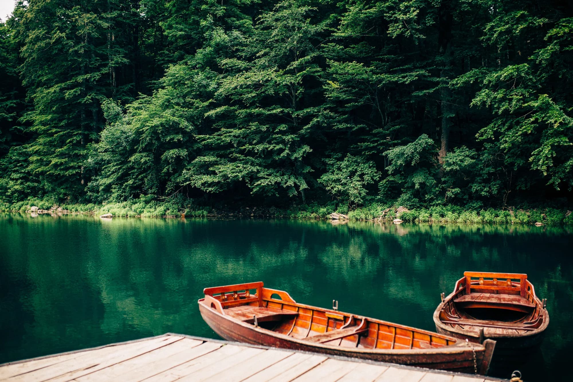
N.º 4 · Parque nacional · 2139 m
Biogradska Gora
Nieve el 57 % de los días de enero
One of the last primeval forests in Europe, and the reason the park exists: trees that have never been cut, some of them five hundred years old, around a glacial lake you can walk round in an hour on the flat.
N.º 5 · Parque nacional · 1594 m
Lake Skadar
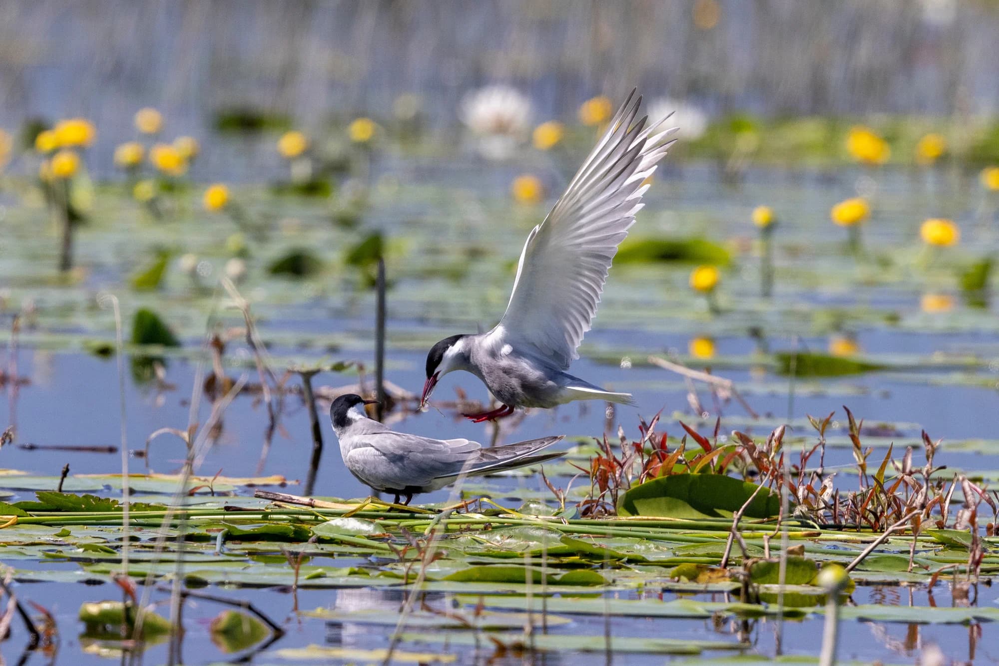
The largest lake in the Balkans and the only one of the five parks that is mostly water.
N.º 6 · Cumbre · 2523 m
Bobotov Kuk
Nieve el 69 % de los días de enero
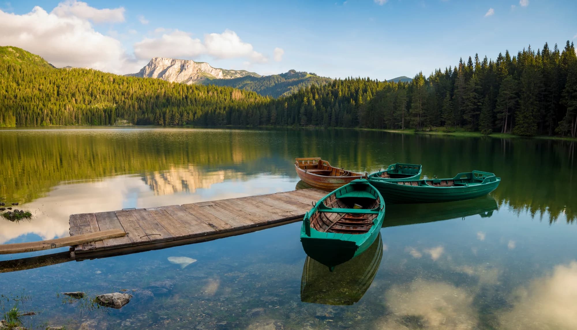
Durmitor’s best-known summit and the one most people mean when they say they climbed a mountain in Montenegro.
 Cerca, no la cumbre
N.º 7 · Cumbre · 2535 m
Zla Kolata
Nieve el 74 % de los días de enero
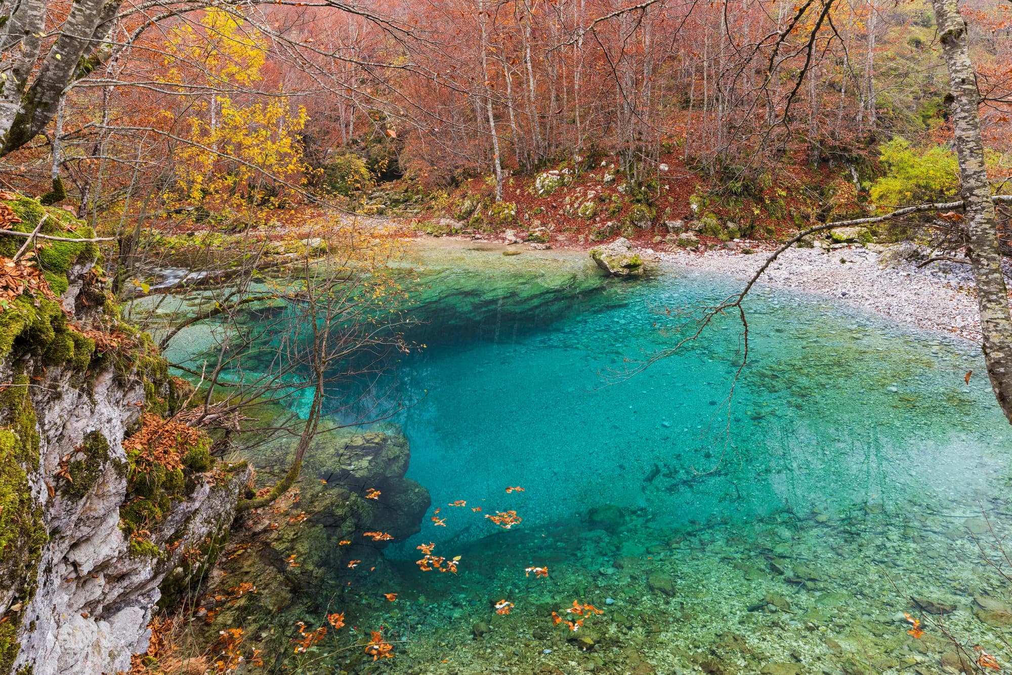
The highest point in Montenegro, at 2,535 m, on the ridge that forms the Albanian border above the Ropojana valley.
N.º 8 · Cumbre · 2487 m
Kom Kučki
Nieve el 65 % de los días de enero
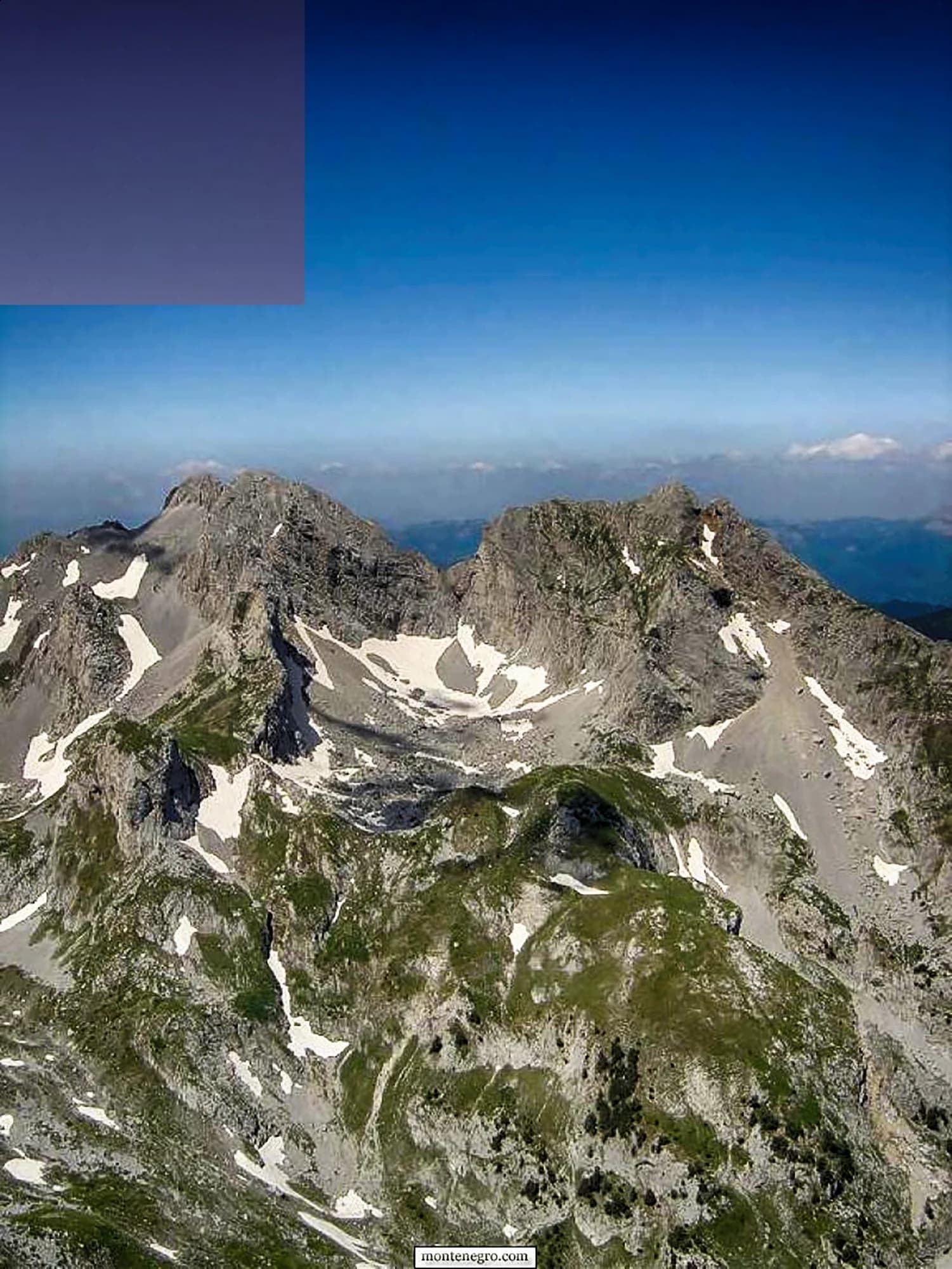
The Komovi are three summits that stand almost alone above the meadows between Andrijevica and Kolašin, and Kom Kučki is the highest of them at 2,487 m.
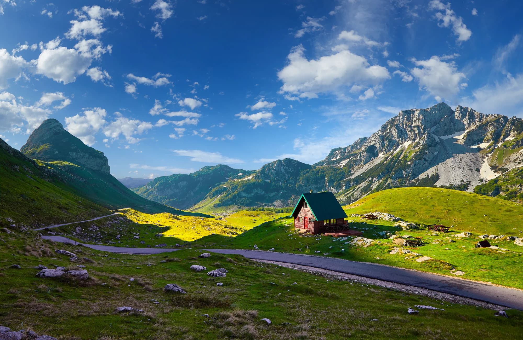
N.º 9 · Cumbre · 2313 m
Savin Kuk
Nieve el 72 % de los días de enero
Žabljak’s ski mountain and a straightforward summer summit: the chairlifts take the first 700 m of ascent in winter, and in summer the walk up from Black Lake is the standard half-day from the town.
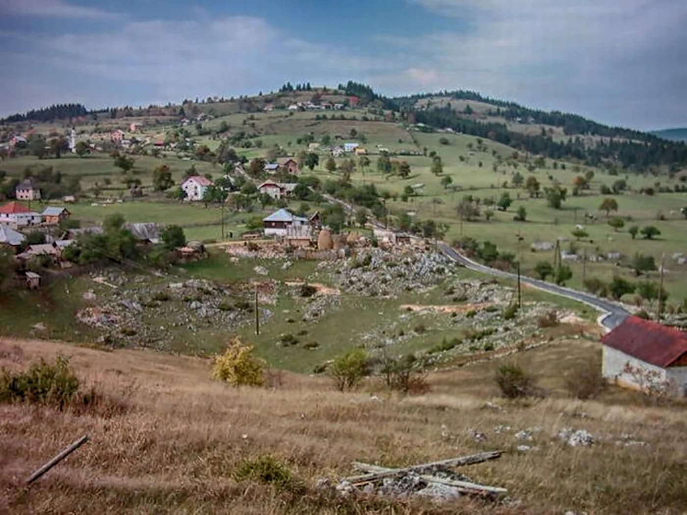
N.º 10 · Cumbre · 2403 m
Hajla
Nieve el 67 % de los días de enero
The mountain above Rožaje, on the Kosovo border, with a long grassy ridge and a sharp drop on its northern side.
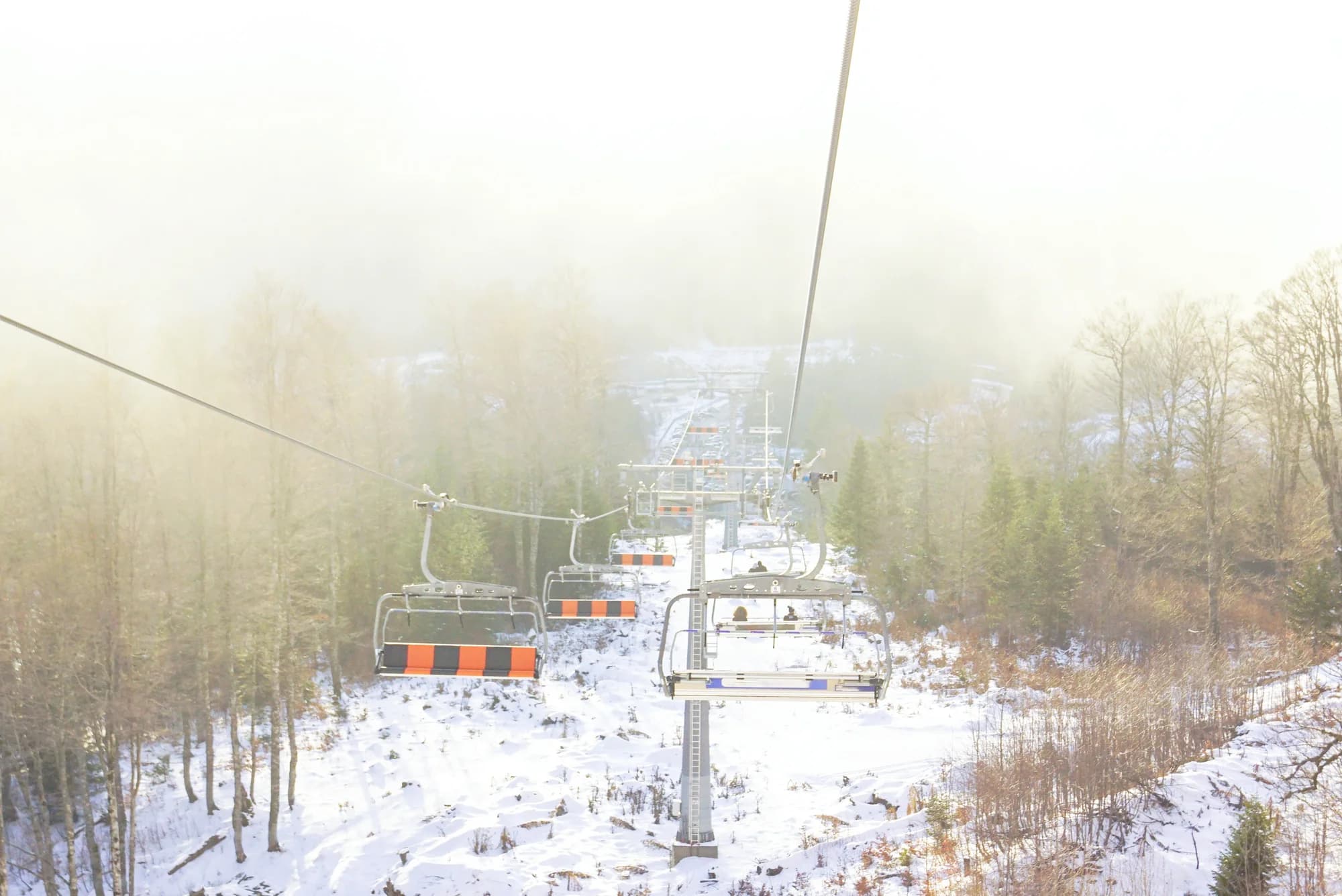
Estación de esquí · 2035 m
Kolašin 1600
Nieve el 62 % de los días de enero
Montenegro’s main ski area, on the Bjelasica slopes above Kolašin, with a gondola up from the valley and the country’s most reliable lift-served snow.
Cumbre · 1894 m
Zubački Kabao
The highest point of Orjen, the massif directly behind Herceg Novi, and one of the strangest places in the country: a bare limestone desert of sinkholes and karst at 1,900 m, an hour above a subtropical coast..
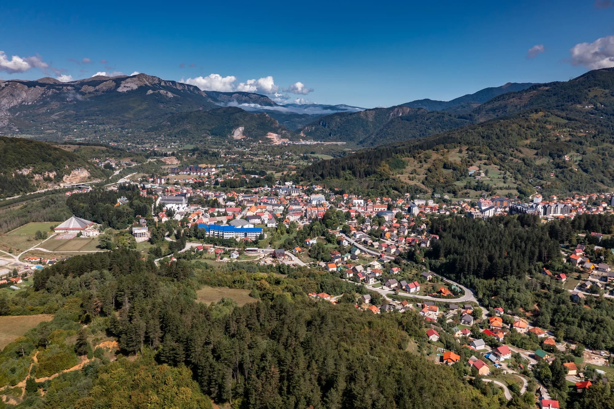
Estación de esquí · 1750 m
Kolašin 1450
Nieve el 62 % de los días de enero
The older and smaller of the two Kolašin areas, on the same Bjelasica flank, with gentler terrain and a shorter lift system.
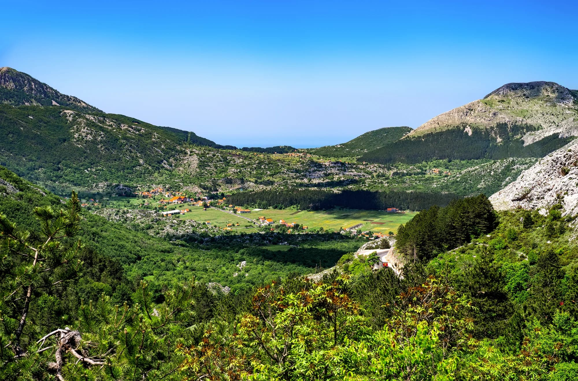 Cerca, no la cumbre
Cumbre · 1748 m
Štirovnik
The true summit of Lovćen, a hundred metres above the mausoleum that everyone drives to and almost nobody walks.
- Cerca, no la cumbre
Cumbre · 1657 m
Jezerski Vrh
The second summit of Lovćen and the one that carries Nje-goš’s mausoleum, reached from the car park by a tunnel and a long flight of steps cut into the mountain.
Cumbre · 1594 m
Rumija
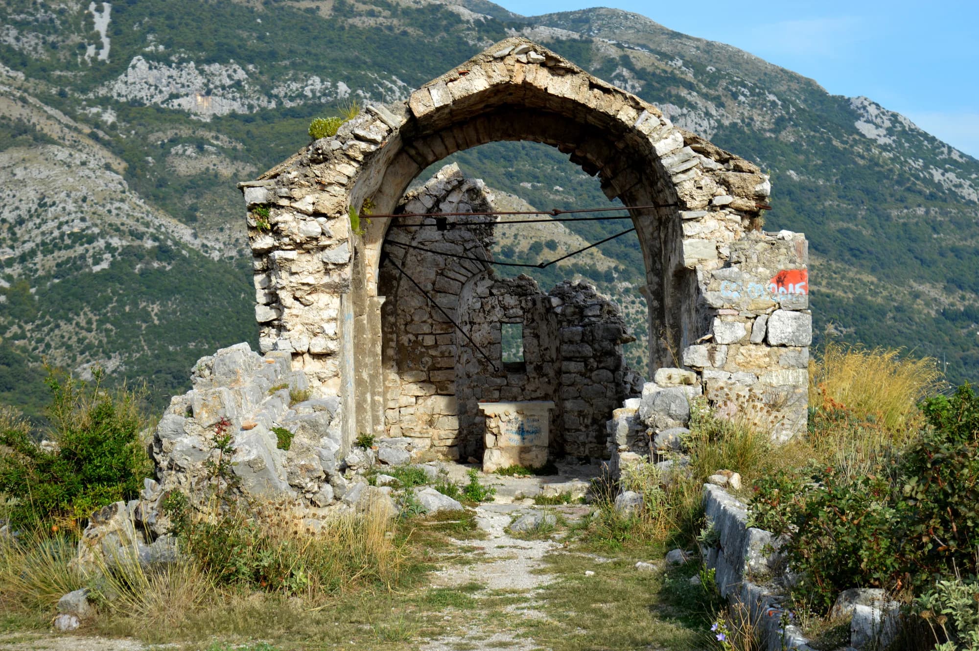
The ridge that separates Lake Skadar from the Adriatic, which means the summit has the sea on one side and the lake on the other — the single best view in the south of the country.
Empiece por aquí
Los cinco parques nacionales y las cumbres que de verdad se suben, en el orden en que enviaríamos a alguien.
N.º 1 · Parque nacional · 2523 m
Durmitor
The massif that made Montenegro a mountain country: forty-eight summits over 2,000 m around a plateau of glacial lakes, inscribed by UNESCO in 1980.
N.º 2 · Parque nacional · 2535 m
Prokletije
The most alpine ground in the country and the least visited: limestone walls above the Grebaje and Ropojana valleys, and Montenegro’s highest summit, Zla Kolata at 2,535 m, on the Albanian border.
- Cerca, no la cumbre
N.º 3 · Parque nacional · 1749 m
Lovćen
The black mountain the country is named after, and the one every visitor sees from the Kotor serpentines.
N.º 4 · Parque nacional · 2139 m
Biogradska Gora
One of the last primeval forests in Europe, and the reason the park exists: trees that have never been cut, some of them five hundred years old, around a glacial lake you can walk round in an hour on the flat.
N.º 5 · Parque nacional · 1594 m
Lake Skadar
The largest lake in the Balkans and the only one of the five parks that is mostly water.
N.º 6 · Cumbre · 2523 m
Bobotov Kuk
Durmitor’s best-known summit and the one most people mean when they say they climbed a mountain in Montenegro.
- Cerca, no la cumbre
N.º 7 · Cumbre · 2535 m
Zla Kolata
The highest point in Montenegro, at 2,535 m, on the ridge that forms the Albanian border above the Ropojana valley.
N.º 8 · Cumbre · 2487 m
Kom Kučki
The Komovi are three summits that stand almost alone above the meadows between Andrijevica and Kolašin, and Kom Kučki is the highest of them at 2,487 m.
N.º 9 · Cumbre · 2313 m
Savin Kuk
Žabljak’s ski mountain and a straightforward summer summit: the chairlifts take the first 700 m of ascent in winter, and in summer the walk up from Black Lake is the standard half-day from the town.
N.º 10 · Cumbre · 2403 m
Hajla
The mountain above Rožaje, on the Kosovo border, with a long grassy ridge and a sharp drop on its northern side.
Dónde se mantiene la nieve, y cuánto
El porcentaje de días con una base de 30 cm o más, a partir de 10 inviernos de reanálisis diario. Enero es la prueba y abril el mes que arruina viajes: en los macizos altos, un tercio de los días de abril todavía tiene base.
| Lugar | Cumbre | ene | abr | Suelo despejado |
|---|---|---|---|---|
| Zla Kolata | 2535 m | 74 % | 41 % | may–nov |
| Savin Kuk | 2313 m | 72 % | 38 % | may–nov |
| Prokletije | 2535 m | 71 % | 33 % | may–nov |
| Bobotov Kuk | 2523 m | 69 % | 32 % | may–nov |
| Durmitor | 2523 m | 69 % | 32 % | may–nov |
| Hajla | 2403 m | 67 % | 28 % | may–nov |
| Kom Kučki | 2487 m | 65 % | 25 % | may–nov |
| Kolašin 1600 | 2035 m | 62 % | 23 % | may–nov |
| Kolašin 1450 | 1750 m | 62 % | 23 % | may–nov |
| Biogradska Gora | 2139 m | 57 % | 21 % | may–nov |
5 lugares faltan en esta tabla a propósito. Su celda de rejilla no resuelve la nieve y preferimos no publicar ninguna profundidad antes que una cifra que no creemos; el apartado de método explica por qué.
Esquí
Dos zonas con remontes en la misma ladera de Bjelasica sobre Kolašin, más los telesillas de Savin Kuk sobre Žabljak. Lo que sigue son once inviernos de registro, no un parte de nieve: consulte la estación el mismo día.
Por macizo
Durmitor
- Durmitor · 2523 m
- Bobotov Kuk · 2523 m
- Savin Kuk · 2313 m
Bjelasica y los Komovi
- Biogradska Gora · 2139 m
- Kom Kučki · 2487 m
- Kolašin 1600 · 2035 m
- Kolašin 1450 · 1750 m
Prokletije
- Prokletije · 2535 m
- Zla Kolata · 2535 m
- Hajla · 2403 m
Orjen y Lovćen
- Lovćen · 1749 m
- Zubački Kabao · 1894 m
- Štirovnik · 1748 m
- Jezerski Vrh · 1657 m
Rumija
- Rumija · 1594 m
Lago Skadar
- Lake Skadar · 1594 m
Según lo que busque
Los mismos dieciséis lugares, ordenados por el motivo para ir. Cada uno de estos es una página.
Cómo está hecho esto
Las altitudes y coordenadas vienen de los nodos de cumbre de OpenStreetMap, y cada lugar nombra el nodo que usó. Las superficies de los parques están medidas sobre la relación de su propio límite en lugar de copiadas: por eso Durmitor aparece aquí con 323 km² frente a los 390 km² que se citan habitualmente, una cifra que incluye la franja del cañón del Tara fuera del límite.
Las temperaturas son once años de reanálisis diario del archivo ERA5-Land de Open-Meteo, ajustadas a la altitud de cada lugar. La meseta del Durmitor a 1.970 m y el Bobotov Kuk a 2.463 m salieron con 3,2 °C de diferencia el mismo día de enero, que es el gradiente térmico normal haciendo su trabajo. El registro de temperatura de una cumbre es el de esa cumbre.
El espesor de nieve no se ajusta. Es el valor de una celda de rejilla de unos nueve kilómetros, así que describe el macizo y no la cumbre, y cuando dos lugares caen en la misma celda el registro de nieve es literalmente el mismo registro; la página lo dice cuando ocurre. En las crestas costeras esa celda es sobre todo terreno bajo junto a un mar cálido, y apenas informa de nieve a altitudes que sus propias temperaturas sitúan bajo cero. Por eso en 5 lugares no publicamos ninguna profundidad. Dieciocho centímetros en once inviernos en Orjen, detrás del cual está la estación más lluviosa de Europa, no es una medición.
Las cifras de hoy son de otra naturaleza: mediciones reales de la red oficial del instituto hidrometeorológico nacional, 22 estaciones con precipitación, temperatura mínima y máxima y espesor de nieve. Van aparte del registro porque una medición y un modelo no son la misma afirmación. Un campo de nieve vacío significa «no comunicado», nunca cero.