Parque nacional · Orjen y Lovćen · 1749 m
Lovćen
Nacionalni park Lovćen
 Cerca, no la cumbre
Nuestro veredicto
La montaña negra que da nombre al país, y la que todo visitante ve desde las serpentinas de Kotor. El mausoleo de Njegoš se alza en Jezerski Vrh, a 1.657 m, con una vista que en un día despejado abarca toda la costa y media Albania; Štirovnik, cien metros más alto, es la verdadera cumbre y casi nadie sube a pie.
La parte honesta
La carretera de las serpentinas desde Kotor es espectacular y realmente estrecha, con una larga caída y autobuses que vienen en sentido contrario. En invierno, las dos carreteras de acceso pueden cerrarse con poco aviso. Al mausoleo se llega por una larga subida de escaleras desde el aparcamiento, algo que no resulta evidente hasta que se está allí.
Cuándo ir
Abierto todo el año en principio; de mayo a octubre para un acceso seguro. Las carreteras se cierran con nevadas fuertes y la fecha nunca se anuncia con antelación.
- Vistas
- Se llega en coche
- Ruta de un día
- Familias
Dónde están
Cuánto hay, y cuánto se sube
No hay una ruta única: la coordenada de un parque es el centro de un límite, no un sitio al que se camine. Las rutas están en las páginas de sus cumbres.
Cuánto frío hace
A 1231 m, Lovćen promedia una máxima diaria de 3.0 °C en ene y de 23.8 °C en jul. Esa es la parte del registro que podemos defender aquí; más abajo explicamos por qué no hay espesores de nieve.
Por qué aquí no hay espesores de nieve
El reanálisis sitúa Lovćen a 1231 m con una máxima diaria de 3.0 °C en el mes más frío, y luego informa de un espesor máximo de 24 cm en 10 inviernos. Las dos cosas no pueden ser ciertas. El espesor de nieve no se corrige por altitud como la temperatura: es el valor de una celda de unos nueve kilómetros, y en esta cresta esa celda es sobre todo terreno bajo junto a un mar cálido. Así que publicamos las temperaturas, que son sólidas, y ningún espesor. Dé por hecho que el invierno aquí es nevado y consulte la medición de la estación de arriba.
| Mes | Máxima diurna |
|---|---|
| ene | 3.0 °C |
| feb | 5.2 °C |
| mar | 7.5 °C |
| abr | 11.3 °C |
| may | 15.1 °C |
| jun | 20.6 °C |
| jul | 23.8 °C |
| ago | 23.8 °C |
| sept | 18.6 °C |
| oct | 14.1 °C |
| nov | 9.2 °C |
| dic | 5.1 °C |
Las temperaturas están corregidas a 1231 m, la altura del terreno en el punto que consultamos; la cumbre está a 1749 m. El espesor de nieve no está corregido: es una celda de unos nueve kilómetros, así que léalo como el macizo y no como la cumbre.
Reanálisis de ERA5-Land (Copernicus), servido por Open-Meteo.
Lovćen, en datos
La montaña
| Cumbre | 1749 mŠtirovnik, the park’s summit, OSM node (ele 1748); 1,749 m is the figure usually published |
|---|---|
| Macizo | Orjen y Lovćen |
| Tipo | Parque nacional |
| Altitud de referencia | 1231 mLa altitud a la que está corregido el registro de temperatura. La cumbre está a 1749 m. |
Cómo subir
| Inicio de la ruta | El aparcamiento del mausoleo en Jezerski Vrh, o Ivanova Korita para las caminatas |
|---|---|
| Dificultad | Una caminata |
| Carretera | Asfaltada desde Cetinje y desde Kotor por la carretera de las serpentinas; ambas pueden cerrarse por la nieve |
| Aparcamiento | De pago |
| Autobús | Sin comprobar |
| Ruta señalizada | Sí |
Allí arriba
| Refugio | Ninguno cartografiado en un radio de 8 km |
|---|---|
| Agua | Manantiales cartografiados en 4 km |
| Comida | Restaurante |
| Aseos | Sí |
| Abrigo | Sin comprobar |
| Cobertura móvil | Sin comprobar |
El parque
| Superficie | 62,2 km²La cifra publicada habitualmente. Lovćen figura en OpenStreetMap como boundary=protected_area en lugar de boundary=national_park, por lo que no aparece en una consulta de los parques nacionales del país: una laguna de etiquetado, no un parque ausente. |
|---|---|
| Entrada | Sin comprobar |
Normas que conviene conocer
- Los drones y las filmaciones comerciales requieren permiso por escrito de la autoridad del parque
Datos comprobados por última vez contra sus fuentes el 30 de septiembre de 2026.
De dónde vienen estos datos
- OpenStreetMap natural=spring and amenity=drinking_water nodes within 4 km for the water field
- OpenStreetMap tourism=alpine_hut and wilderness_hut nodes, searched country-wide for the nearest mountain hut
- OpenStreetMap relation 13997675 for the boundary and the tagging note
- Štirovnik and Jezerski Vrh elevations from OpenStreetMap peak nodes
- Our Lovćen guide
- Open-Meteo ERA5-Land archive 2015–2025 for the temperature record
Fotografías
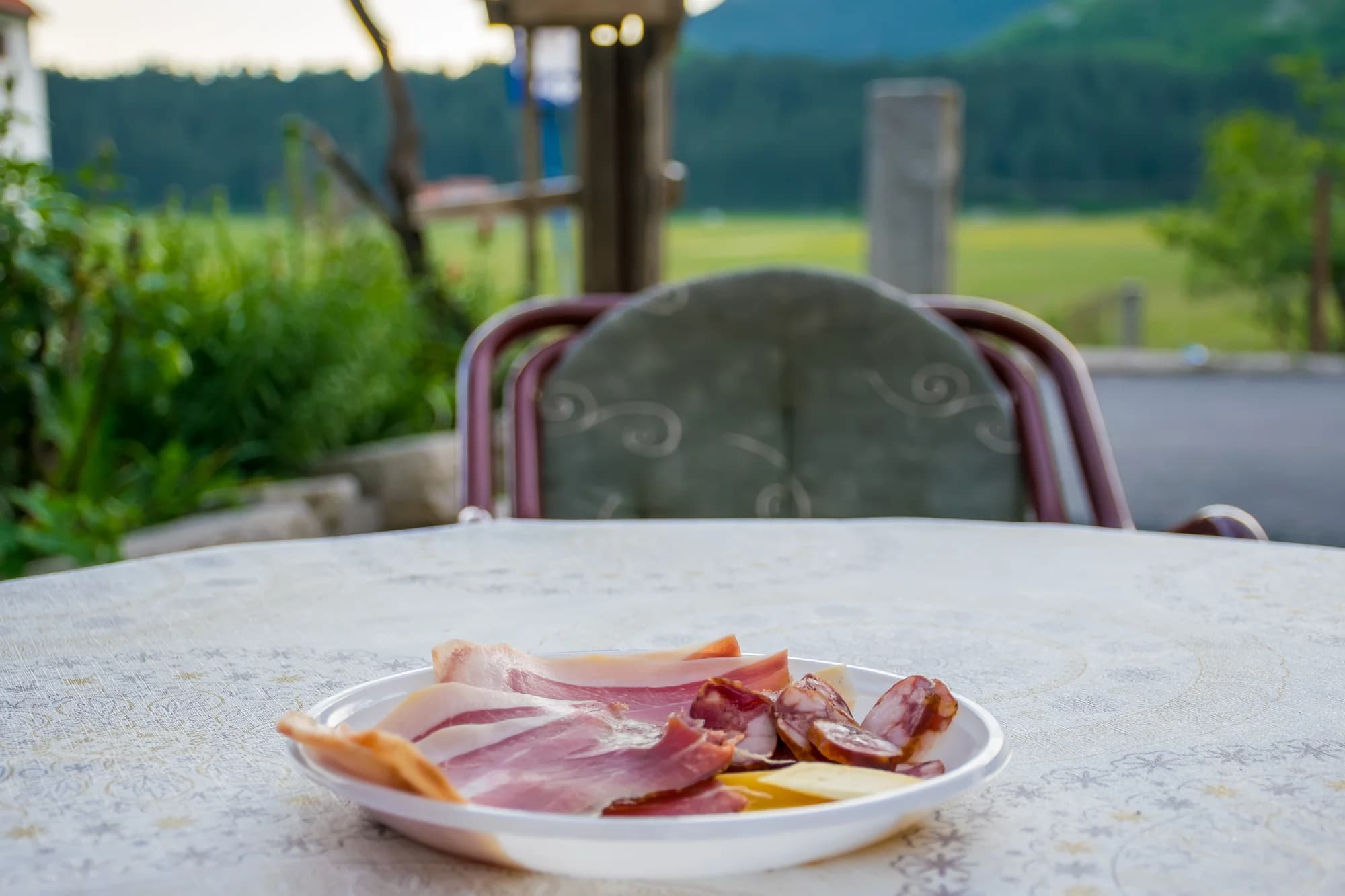 Cerca, no la cumbre
Las tierras altas del Lovćen
.jpg&w=2048&q=75)