Parco nazionale · Orjen e Lovćen · 1749 m
Lovćen
Nacionalni park Lovćen
 Nei dintorni, non la cima
Il nostro giudizio
La montagna nera da cui il paese prende il nome, e quella che ogni visitatore vede dai tornanti di Kotor. Il mausoleo di Njegoš si trova sul Jezerski Vrh, a 1.657 m, con una vista che nelle giornate limpide abbraccia tutta la costa e mezza Albania; lo Štirovnik, cento metri più in alto, è la vera vetta e quasi nessuno ci sale a piedi.
La parte onesta
La strada dei tornanti da Kotor è spettacolare e davvero stretta, con un lungo strapiombo e autobus che arrivano in senso opposto. In inverno entrambe le strade d'accesso possono chiudere con poco preavviso. Al mausoleo si arriva con una lunga salita a gradini dal parcheggio, cosa che non è evidente finché non si è sul posto.
Quando andare
In linea di principio aperto tutto l'anno; da maggio a ottobre per un accesso sicuro. Le strade chiudono con forti nevicate e la data non viene mai annunciata in anticipo.
- Panorami
- Si arriva in auto
- Escursione in giornata
- Famiglie
Dove si trovano
Quanto è lontano, e quanto si sale
Nessuna via unica: la coordinata di un parco è il centro di un confine, non un posto dove si cammina. Le vie stanno nelle pagine delle sue cime.
Quanto freddo fa
A 1231 m, Lovćen ha una massima media di 3.0 °C a gen e di 23.8 °C a lug. È la parte dell’archivio per cui rispondiamo qui; sotto spieghiamo perché non ci sono spessori di neve.
Perché qui non ci sono spessori di neve
La rianalisi colloca Lovćen a 1231 m con una massima di 3.0 °C nel mese più freddo, e poi riporta uno spessore massimo di 24 cm in 10 inverni. Le due cose non possono essere vere insieme. Lo spessore della neve non è corretto per la quota come la temperatura: è il valore di una cella di circa nove chilometri, e su questa cresta quella cella è soprattutto terreno basso accanto a un mare caldo. Pubblichiamo quindi le temperature, che tengono, e nessuno spessore. Dài per certo che qui l’inverno sia innevato e guarda la misura della stazione sopra.
| Mese | Massima diurna |
|---|---|
| gen | 3.0 °C |
| feb | 5.2 °C |
| mar | 7.5 °C |
| apr | 11.3 °C |
| mag | 15.1 °C |
| giu | 20.6 °C |
| lug | 23.8 °C |
| ago | 23.8 °C |
| set | 18.6 °C |
| ott | 14.1 °C |
| nov | 9.2 °C |
| dic | 5.1 °C |
Le temperature sono corrette a 1231 m, la quota del terreno nel punto interrogato; la cima è a 1749 m. Lo spessore della neve non è corretto: è una cella di circa nove chilometri, quindi va letto come il massiccio e non come la cima.
Rianalisi ERA5-Land (Copernicus), servita da Open-Meteo.
Lovćen, in numeri
La montagna
| Cima | 1749 mŠtirovnik, the park’s summit, OSM node (ele 1748); 1,749 m is the figure usually published |
|---|---|
| Massiccio | Orjen e Lovćen |
| Tipo | Parco nazionale |
| Quota di riferimento | 1231 mLa quota a cui è corretto l’archivio delle temperature. La cima è a 1749 m. |
Come salirci
| Punto di partenza | Il parcheggio del mausoleo sul Jezerski Vrh, o Ivanova Korita per le escursioni |
|---|---|
| Difficoltà | Una camminata |
| Strada | Asfaltata da Cetinje e da Kotor lungo la strada dei tornanti; entrambe possono chiudere per neve |
| Parcheggio | A pagamento |
| Autobus | Non verificato |
| Percorso segnato | Sì |
Là in alto
| Rifugio | Nessuno segnato sulla mappa entro 8 km |
|---|---|
| Acqua | Sorgenti mappate entro 4 km |
| Cibo | Ristorante |
| Servizi | Sì |
| Ricovero | Non verificato |
| Copertura mobile | Non verificato |
Il parco
| Superficie | 62,2 km²La cifra pubblicata comunemente. Il Lovćen è mappato in OpenStreetMap come boundary=protected_area anziché boundary=national_park, quindi non compare in una ricerca dei parchi nazionali del paese: una lacuna di classificazione, non un parco mancante. |
|---|---|
| Ingresso | Non verificato |
Regole da conoscere
- Droni e riprese commerciali richiedono un'autorizzazione scritta dell'ente parco
Dati verificati sulle loro fonti per l’ultima volta il 30 settembre 2026.
Da dove vengono questi dati
- OpenStreetMap natural=spring and amenity=drinking_water nodes within 4 km for the water field
- OpenStreetMap tourism=alpine_hut and wilderness_hut nodes, searched country-wide for the nearest mountain hut
- OpenStreetMap relation 13997675 for the boundary and the tagging note
- Štirovnik and Jezerski Vrh elevations from OpenStreetMap peak nodes
- Our Lovćen guide
- Open-Meteo ERA5-Land archive 2015–2025 for the temperature record
Fotografie
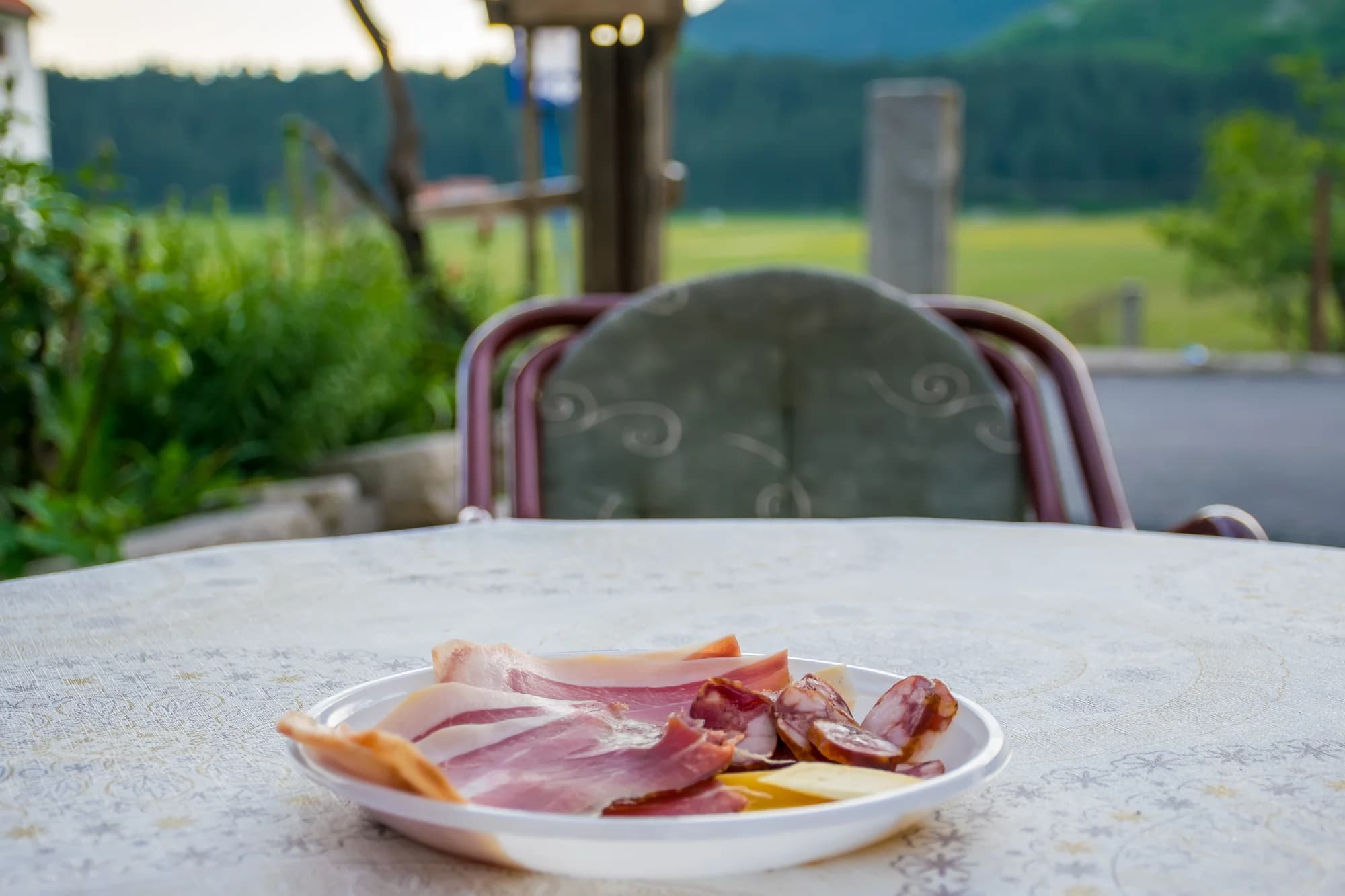 Nei dintorni, non la cima
Gli altipiani del Lovćen
.jpg&w=2048&q=75)