National park · Orjen and Lovćen · 1,749 m
Lovćen
Nacionalni park Lovćen
 Nearby, not the summit
Our verdict
The black mountain the country is named after, and the one every visitor sees from the Kotor serpentines. Njegoš’s mausoleum sits on Jezerski Vrh at 1,657 m with a view that on a clear day takes in the whole coast and half of Albania; Štirovnik, a hundred metres higher, is the actual summit and almost nobody walks up it.
The honest part
The serpentine road from Kotor is spectacular and genuinely narrow, with a long drop and buses coming the other way. In winter both approach roads can close without much notice. The mausoleum is reached by a long stair climb from the car park, which is not obvious until you are there.
When to come
Open all year in principle; May to October for certain access. The roads close in heavy snow and the date is never announced in advance.
- Views
- You can drive it
- Day hike
- Families
Where these are
How far, and how much up
No single route: a park’s coordinate is the middle of a boundary rather than somewhere anyone walks to. The routes are on its summits’ own pages.
How cold it gets
At 1,231 m, Lovćen averages a daily high of 3.0 °C in Jan and 23.8 °C in Jul. That is the part of the record we can stand behind here; see below for why there are no snow depths.
Why there are no snow depths here
The reanalysis puts Lovćen at 1,231 m with a coldest-month daily high of 3.0 °C, and then reports a deepest snow depth of 24 cm across 10 winters. Both cannot be true. Snow depth is not corrected for elevation the way temperature is — it is the value for a grid cell some nine kilometres across, and on this ridge that cell is mostly low ground beside a warm sea. So we publish the temperatures, which are sound, and no depths at all. Treat winter here as snowbound and check the station reading above.
| Month | Daytime high |
|---|---|
| Jan | 3.0 °C |
| Feb | 5.2 °C |
| Mar | 7.5 °C |
| Apr | 11.3 °C |
| May | 15.1 °C |
| Jun | 20.6 °C |
| Jul | 23.8 °C |
| Aug | 23.8 °C |
| Sep | 18.6 °C |
| Oct | 14.1 °C |
| Nov | 9.2 °C |
| Dec | 5.1 °C |
Temperatures are corrected to 1,231 m, the terrain height at the point we query; the summit is 1,749 m. Snow depth is not corrected — it is a grid cell about nine kilometres across, so read it as the massif rather than the summit.
Reanalysis from ERA5-Land (Copernicus), served by Open-Meteo.
Lovćen, in facts
The mountain
| Summit | 1,749 mŠtirovnik, the park’s summit, OSM node (ele 1748); 1,749 m is the figure usually published |
|---|---|
| Massif | Orjen and Lovćen |
| Kind | National park |
| Record height | 1,231 mThe elevation the temperature record is corrected to. The summit is 1,749 m. |
Getting up it
| Trailhead | The mausoleum car park on Jezerski Vrh, or Ivanova Korita for the walks |
|---|---|
| Difficulty | A walk |
| Road | Sealed from Cetinje and from Kotor by the serpentine road; both can close in snow |
| Parking | Paid |
| Bus | Not checked |
| Marked route | Yes |
Up there
| Hut | None mapped within 8 km |
|---|---|
| Water | Springs mapped within 4 km |
| Food | Restaurant |
| Toilets | Yes |
| Shelter | Not checked |
| Mobile signal | Not checked |
The park
| Area | 62.2 km²The commonly published figure. Lovćen is mapped in OpenStreetMap as boundary=protected_area rather than boundary=national_park, so it does not appear in a query for the country’s national parks — a tagging gap, not a missing park. |
|---|---|
| Entry | Not checked |
Rules worth knowing
- Drone and commercial filming require written permission from the park authority
Facts last checked against their sources on September 30, 2026.
Where these facts come from
- OpenStreetMap natural=spring and amenity=drinking_water nodes within 4 km for the water field
- OpenStreetMap tourism=alpine_hut and wilderness_hut nodes, searched country-wide for the nearest mountain hut
- OpenStreetMap relation 13997675 for the boundary and the tagging note
- Štirovnik and Jezerski Vrh elevations from OpenStreetMap peak nodes
- Our Lovćen guide
- Open-Meteo ERA5-Land archive 2015–2025 for the temperature record
Photographs
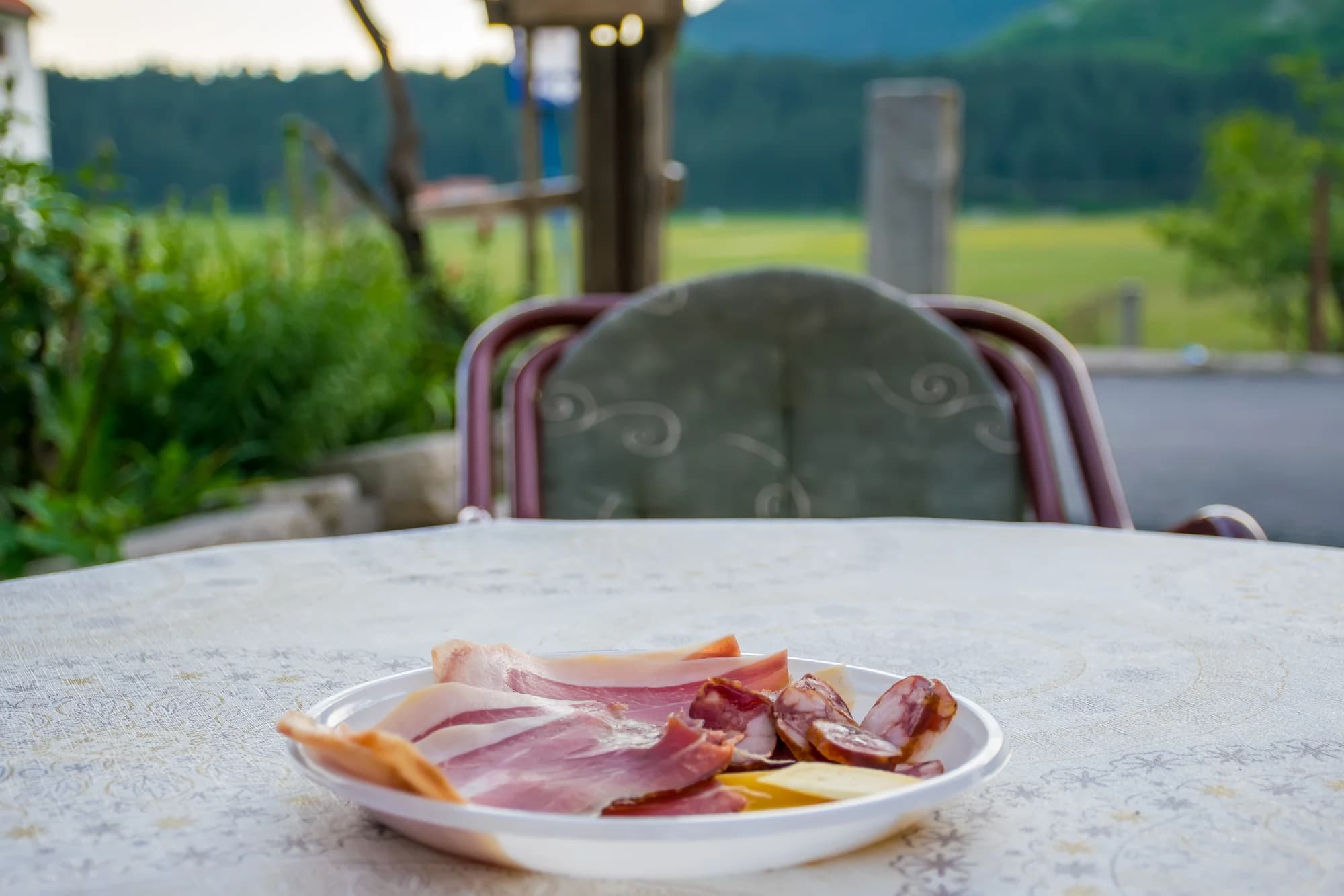 Nearby, not the summit
The Lovćen uplands
.jpg&w=2048&q=75)