Faith across eras
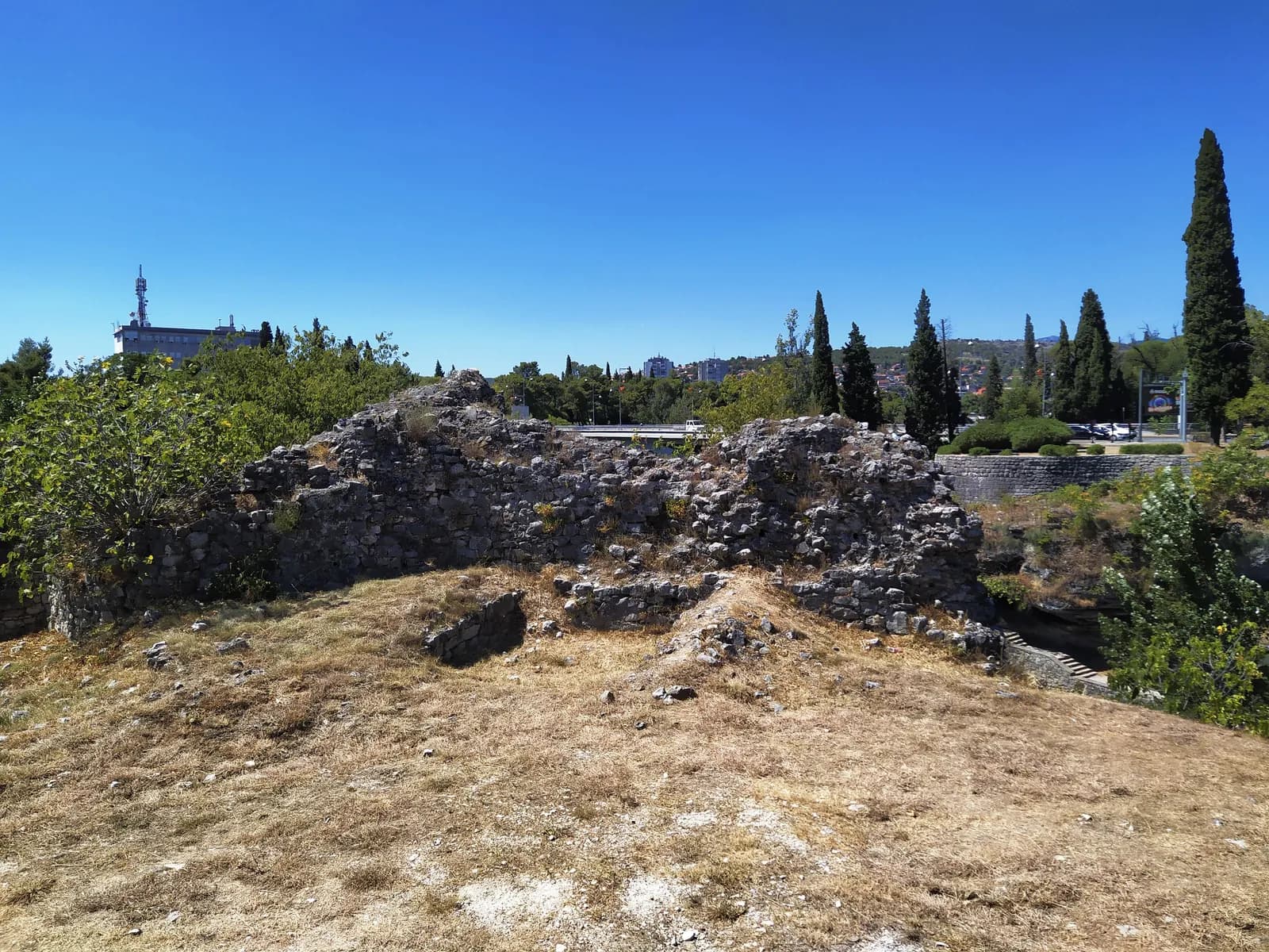
Roman and early Christian Doclea preceded an Ottoman town and a modern multi-faith capital. Orthodox and Catholic churches, mosques and a Jewish community belong to the city’s full civic history.
Montenegro then and now · Zeta Plain
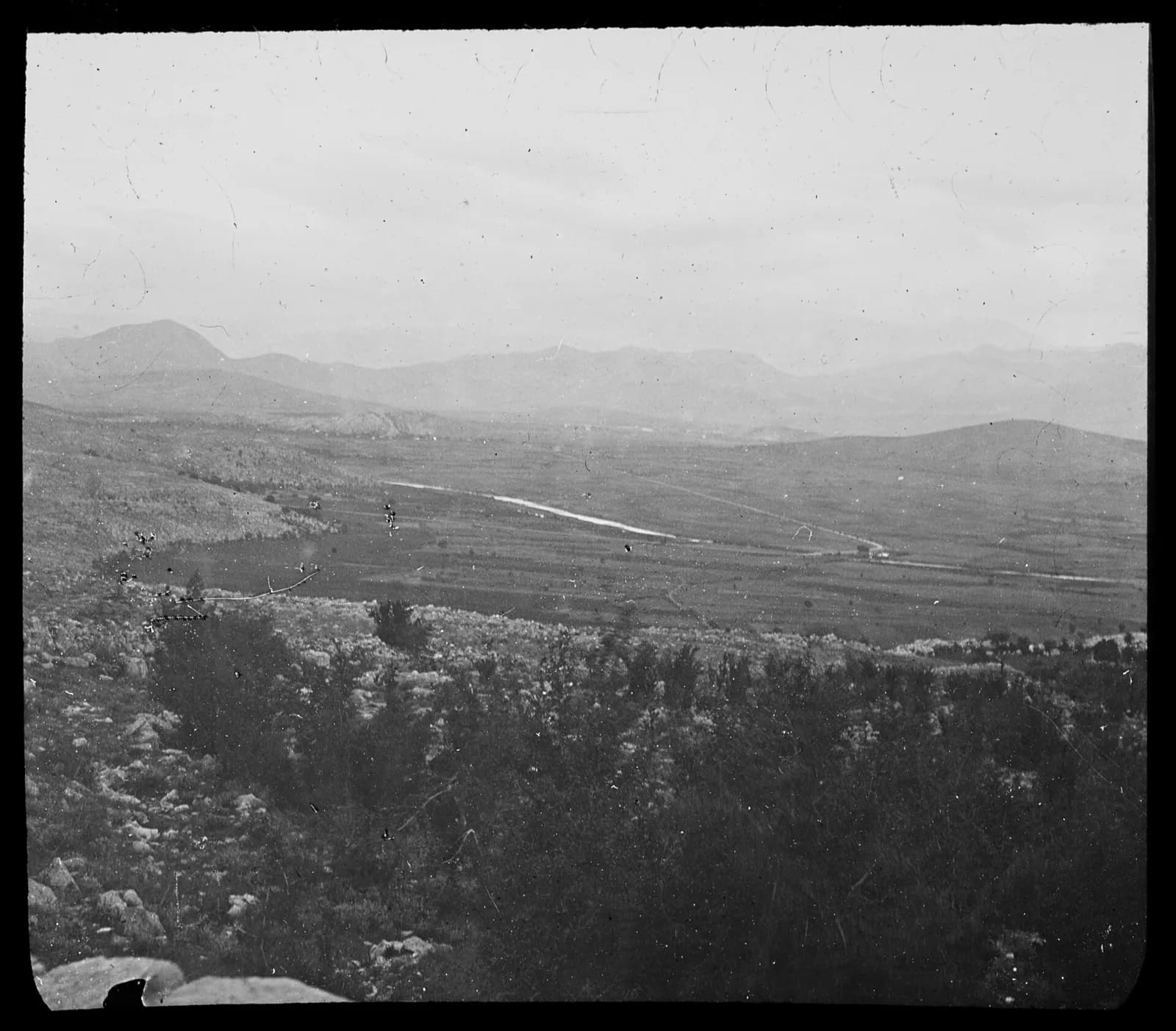
Ribnica, Ottoman Podgorica, wartime ruin and Titograd occupy the same confluence. The 1897 panorama makes the scale of that reinvention visible.
Historical names: Ribnica, Titograd
Go deeper
Ribnica, Ottoman Podgorica, wartime ruin and Titograd occupy the same confluence. The 1897 panorama makes the scale of that reinvention visible.
5 eras · source-linked
Selected chapter · 3 of 5
Compare open plain with the modern footprint.
Move through the city’s rule
Roman and early Christian Doclea preceded an Ottoman town and a modern multi-faith capital. Orthodox and Catholic churches, mosques and a Jewish community belong to the city’s full civic history.
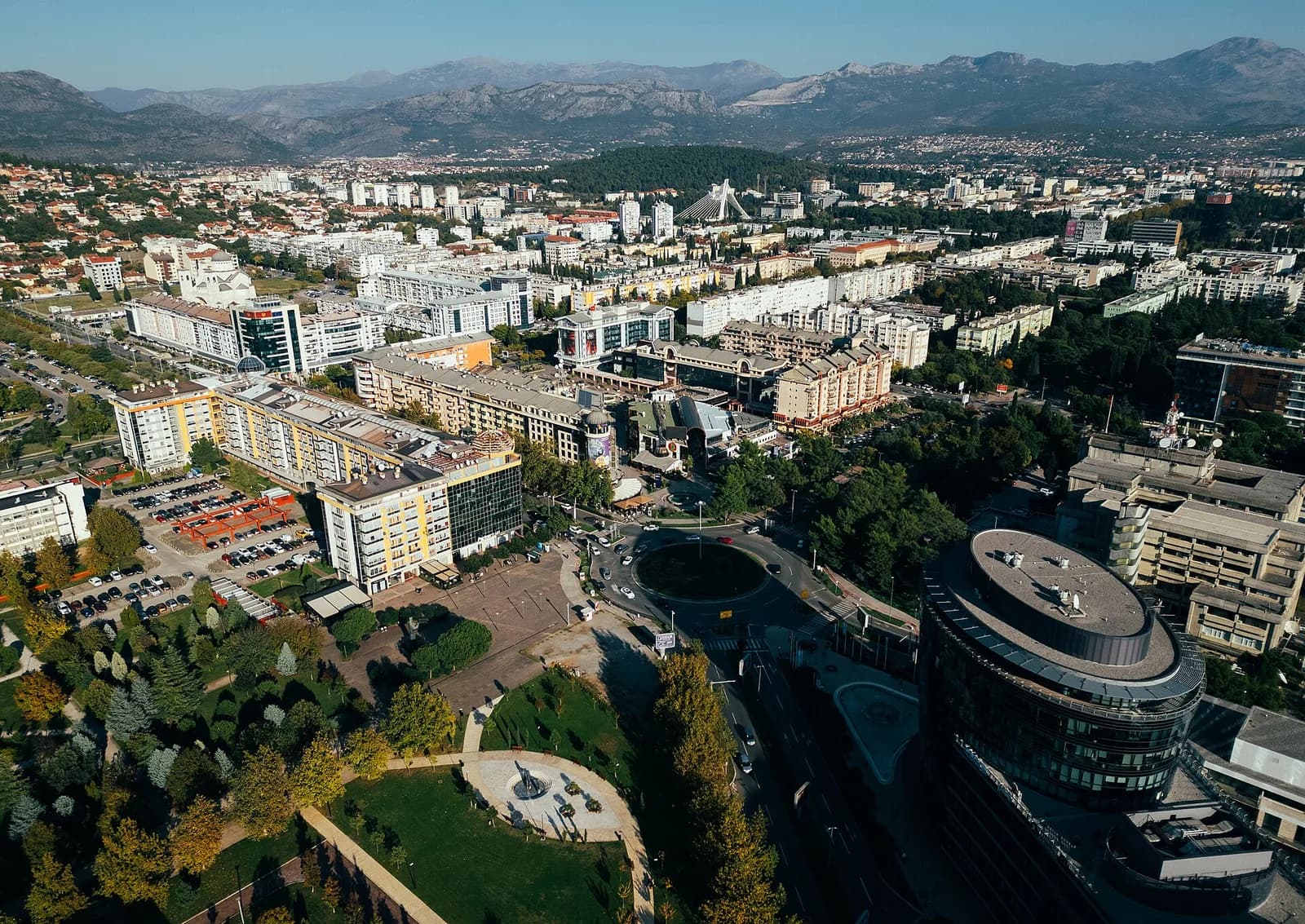
Rivers are the constant: ancient Doclea, Stara Varoš, gridded Nova Varoš and post-war Titograd occupy different pieces of the confluence and plain. Bridges make the layers readable as one city.
Compare open plain with the modern footprint.
Historical timeline
Roman era
The Roman city of Doclea developed north of today’s centre, while later settlement gathered around the Ribnica–Morača confluence.
Begin with the rivers: they predate every city name.
1474
Ottoman authority fortified the Ribnica crossing and Podgorica developed as a market and administrative town on routes toward the Adriatic and interior.
The old core occupied only a small part of today’s city.
1897
The Cuverville panorama captures Podgorica less than two decades after it entered Montenegro in 1878, before planned districts crossed the Morača.
Compare open plain with the modern footprint.
1946–1992
Heavy Second World War bombing was followed by socialist reconstruction, new bridges, industry and housing. The city carried the name Titograd until 1992.
The broad modern city is largely a post-war creation.
Now
Podgorica is Montenegro’s administrative and economic centre. Ottoman fragments, planned Nova Varoš and late-modern neighbourhoods remain unusually close.
Read the city as several centres, not one old core.
Then: A documented view of the town
Now: A modern city or landscape view from 2024
Then: Doclea grows near three rivers
Now: The capital expands between river corridors
Then: Read terrain, routes and inherited landmarks
Now: Notice new density, infrastructure and use
Dates and interpretations are tied to the archive and research sources below. Image limitations are disclosed in the comparison.