The mountain atlas
Montenegro’s mountains, park by park and summit by summit
16 subjects: 5 national parks, the summits worth the walk, and the ski areas. Every one carries the answer nobody else publishes for this country — how often the snow actually lies, winter by winter, for eleven years. The highest ground is Prokletije, at 2,535 m.
- Subjects
- 16
- Protected
- 1,037 km²
- Winters of record
- 10
- Daily readings
- 64,288
Where these are
Every subject in the atlas. Pins are sized by height, so the spine of the country reads off the map. Click one to jump to it in the list below.
Find one
Showing 16 of 16
Choices in the same row widen the result; choices across rows narrow it. So sand-and-quiet means both, but Durmitor-or-Prokletije means either.
No. 1 · National park · 2,523 m
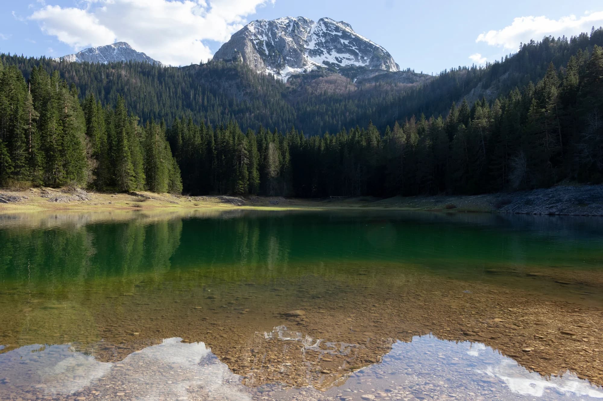
Durmitor
Snow on 69% of January days
The massif that made Montenegro a mountain country: forty-eight summits over 2,000 m around a plateau of glacial lakes, inscribed by UNESCO in 1980.
No. 2 · National park · 2,535 m
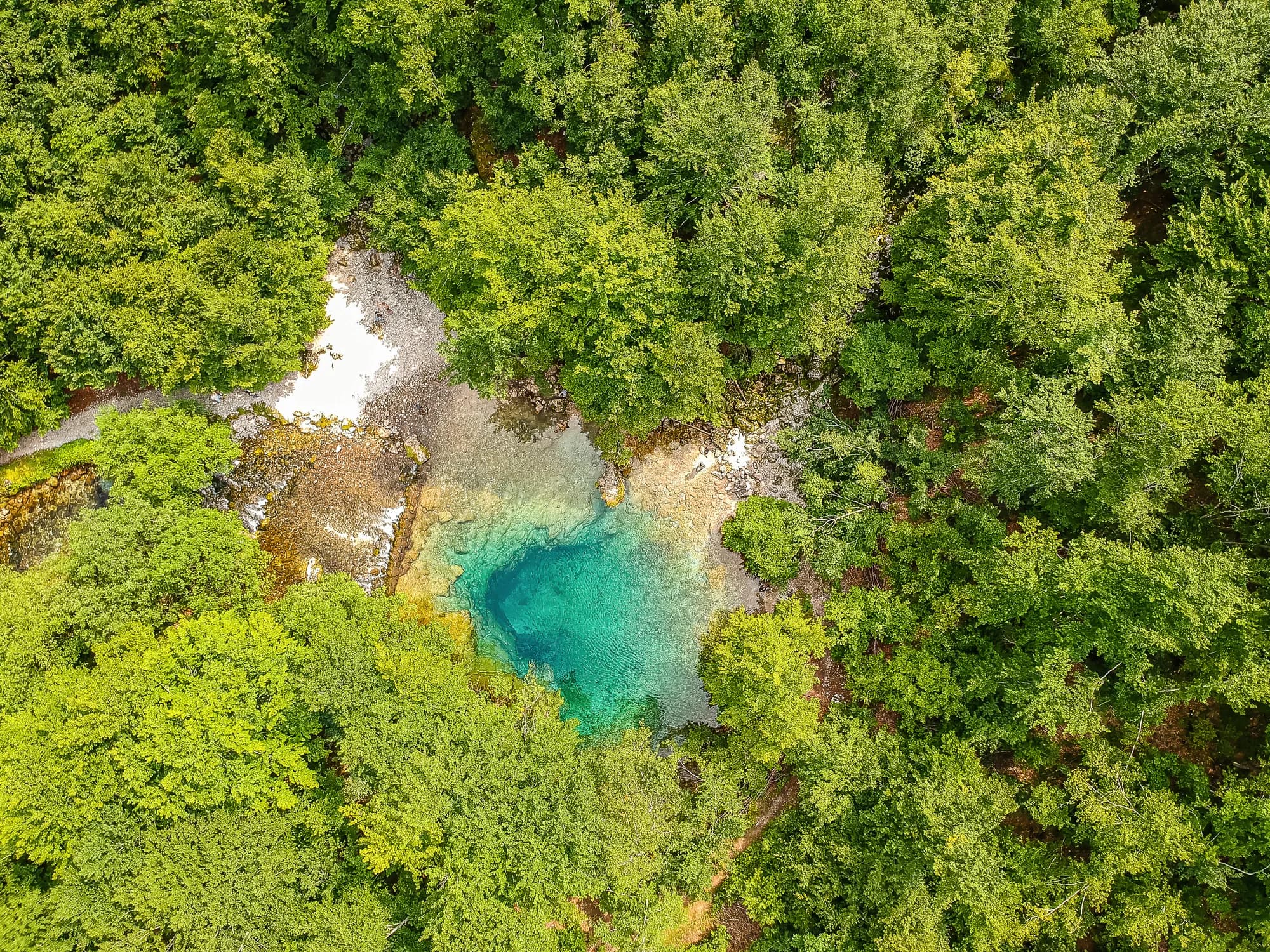
Prokletije
Snow on 71% of January days
The most alpine ground in the country and the least visited: limestone walls above the Grebaje and Ropojana valleys, and Montenegro’s highest summit, Zla Kolata at 2,535 m, on the Albanian border.
 Nearby, not the summit
No. 3 · National park · 1,749 m
Lovćen
The black mountain the country is named after, and the one every visitor sees from the Kotor serpentines.
No. 4 · National park · 2,139 m
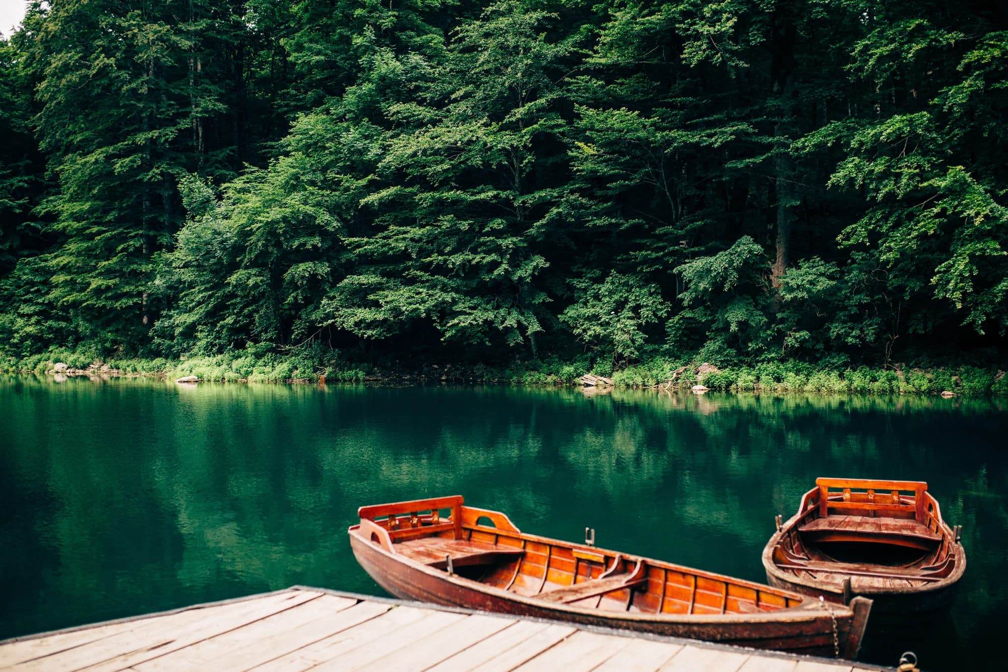
Biogradska Gora
Snow on 57% of January days
One of the last primeval forests in Europe, and the reason the park exists: trees that have never been cut, some of them five hundred years old, around a glacial lake you can walk round in an hour on the flat.

No. 5 · National park · 1,594 m
Lake Skadar
The largest lake in the Balkans and the only one of the five parks that is mostly water.
No. 6 · Summit · 2,523 m
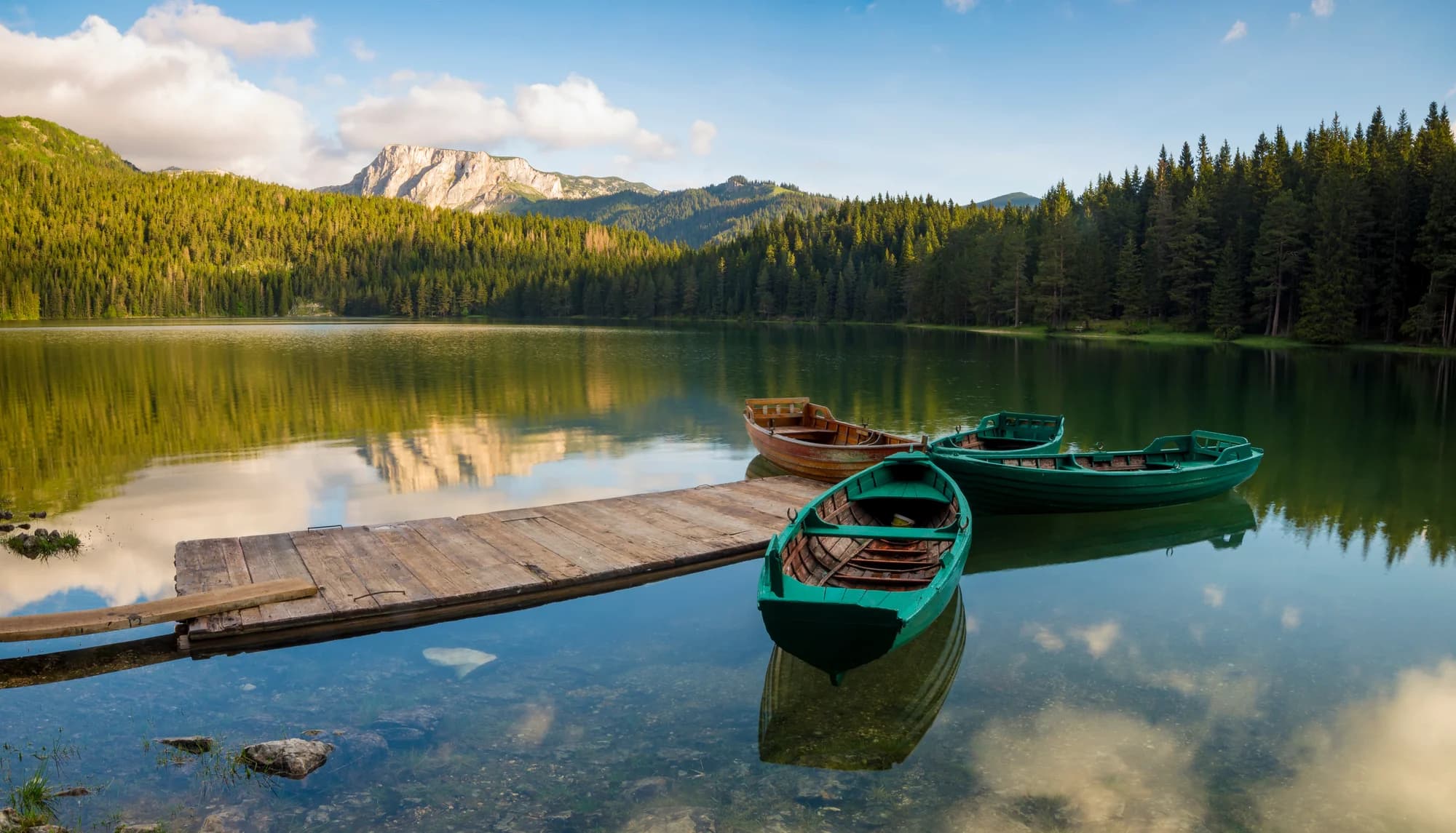
Bobotov Kuk
Snow on 69% of January days
Durmitor’s best-known summit and the one most people mean when they say they climbed a mountain in Montenegro.
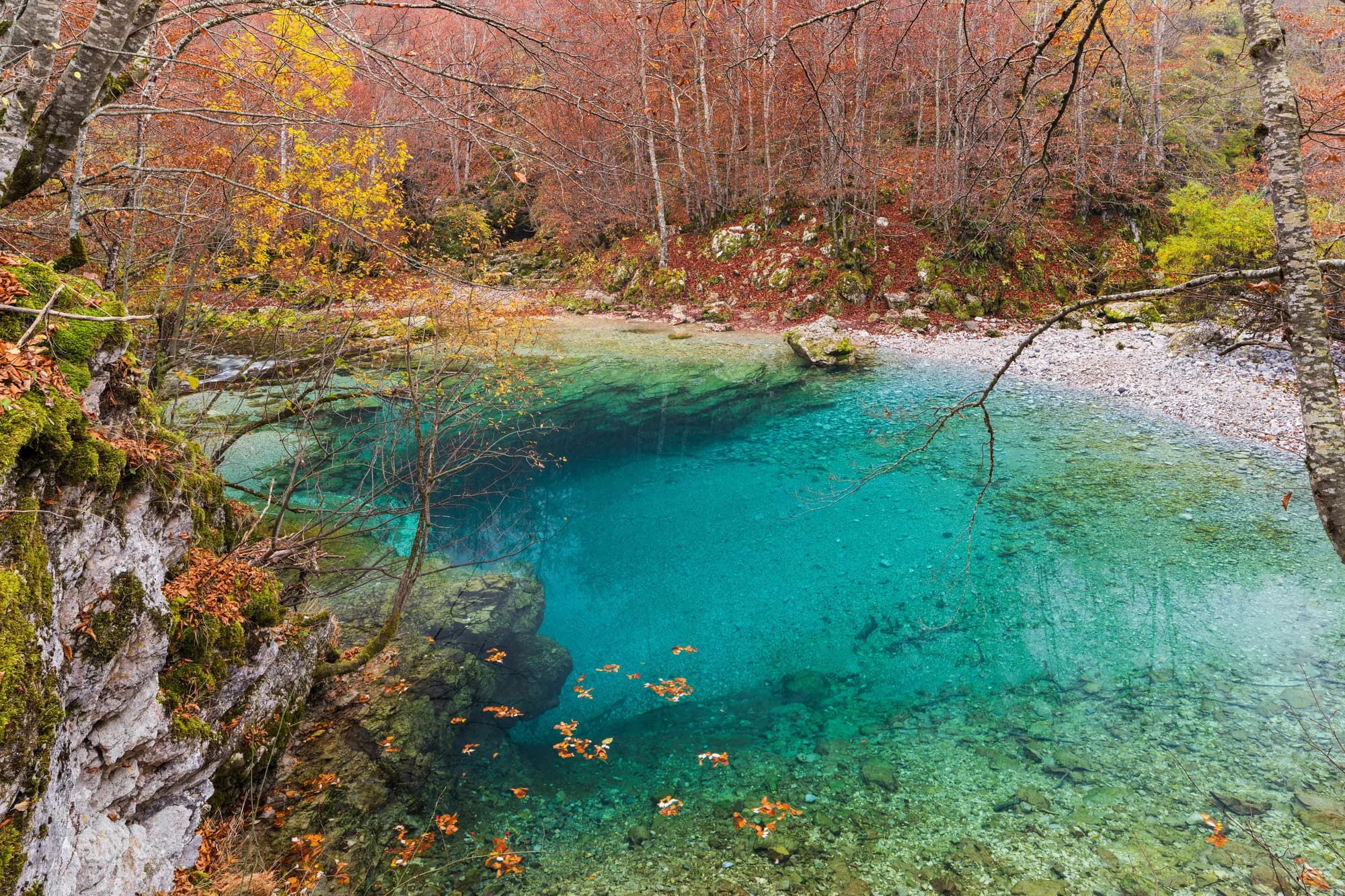 Nearby, not the summit
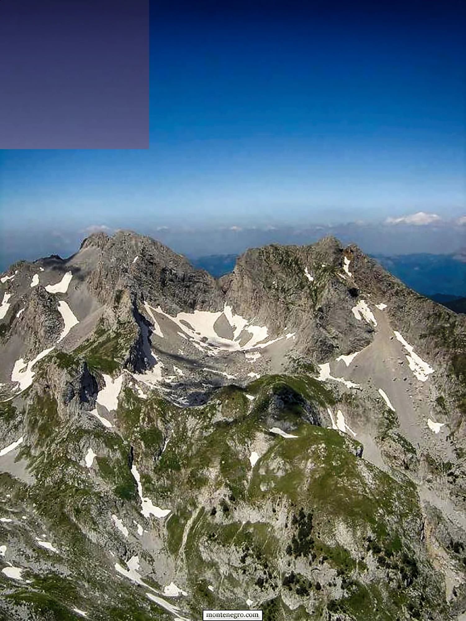
No. 7 · Summit · 2,535 m
Zla Kolata
Snow on 74% of January days
The highest point in Montenegro, at 2,535 m, on the ridge that forms the Albanian border above the Ropojana valley.
No. 8 · Summit · 2,487 m
Kom Kučki
Snow on 65% of January days
The Komovi are three summits that stand almost alone above the meadows between Andrijevica and Kolašin, and Kom Kučki is the highest of them at 2,487 m.
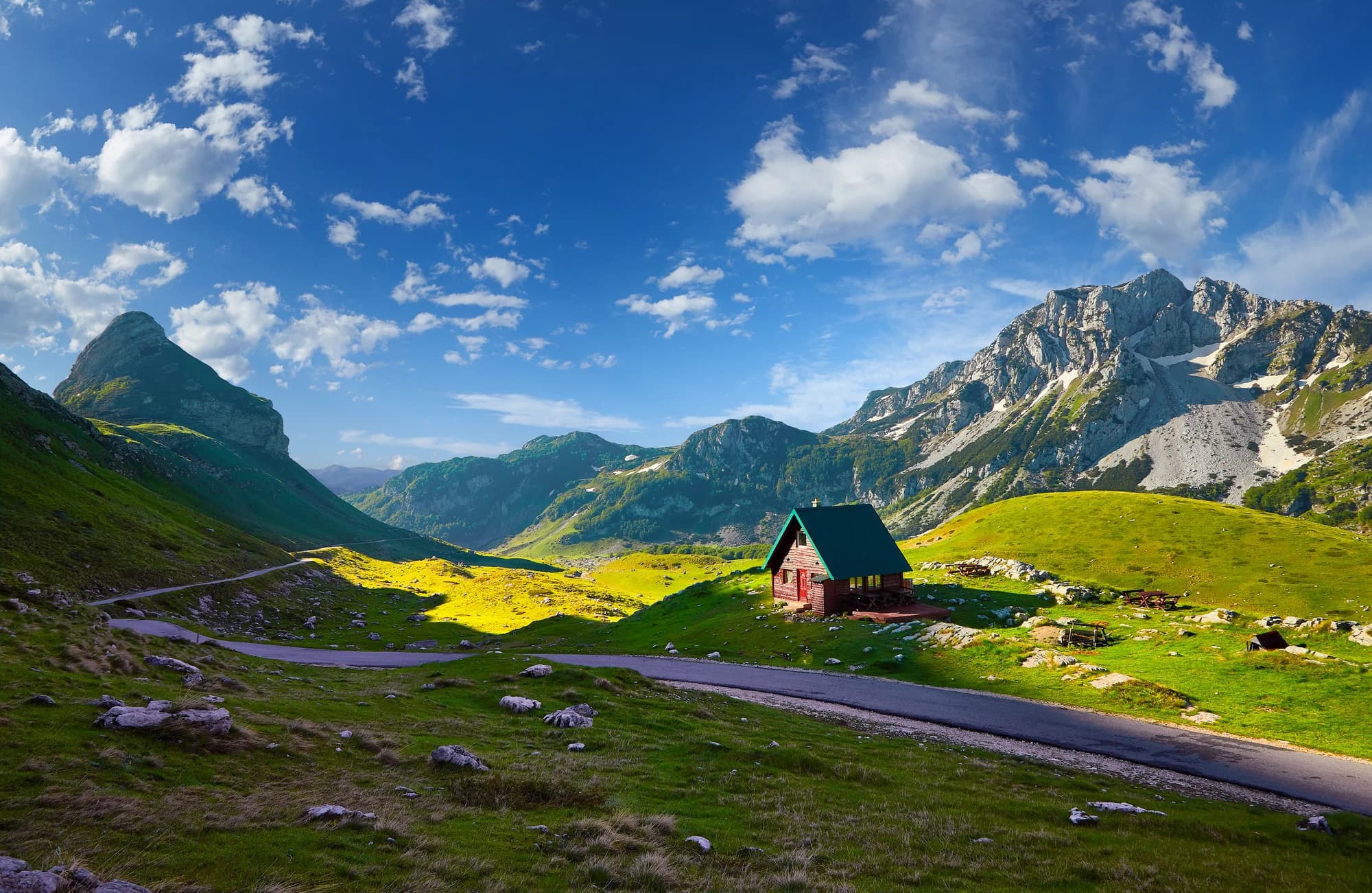
No. 9 · Summit · 2,313 m
Savin Kuk
Snow on 72% of January days
Žabljak’s ski mountain and a straightforward summer summit: the chairlifts take the first 700 m of ascent in winter, and in summer the walk up from Black Lake is the standard half-day from the town.
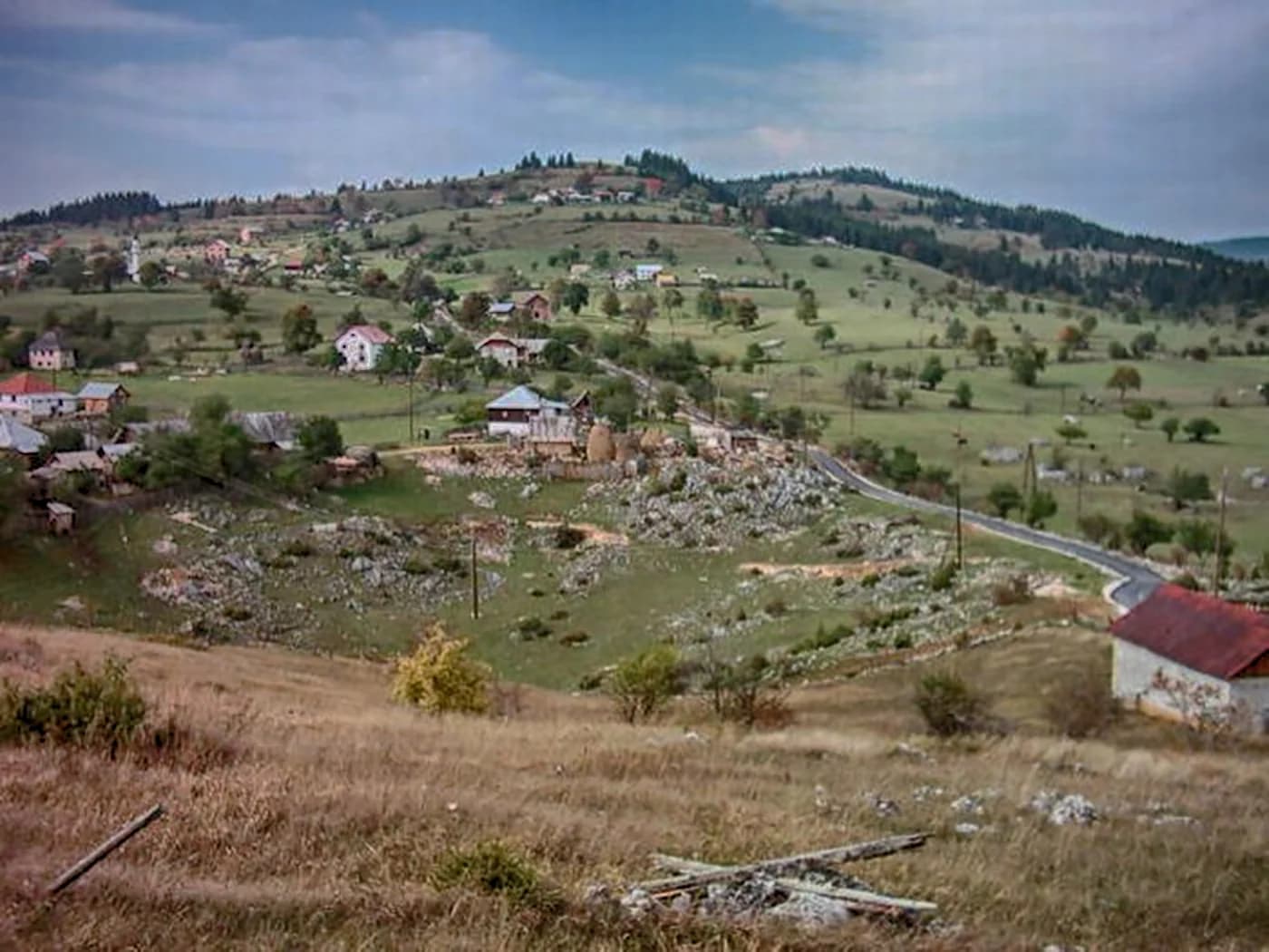
No. 10 · Summit · 2,403 m
Hajla
Snow on 67% of January days
The mountain above Rožaje, on the Kosovo border, with a long grassy ridge and a sharp drop on its northern side.
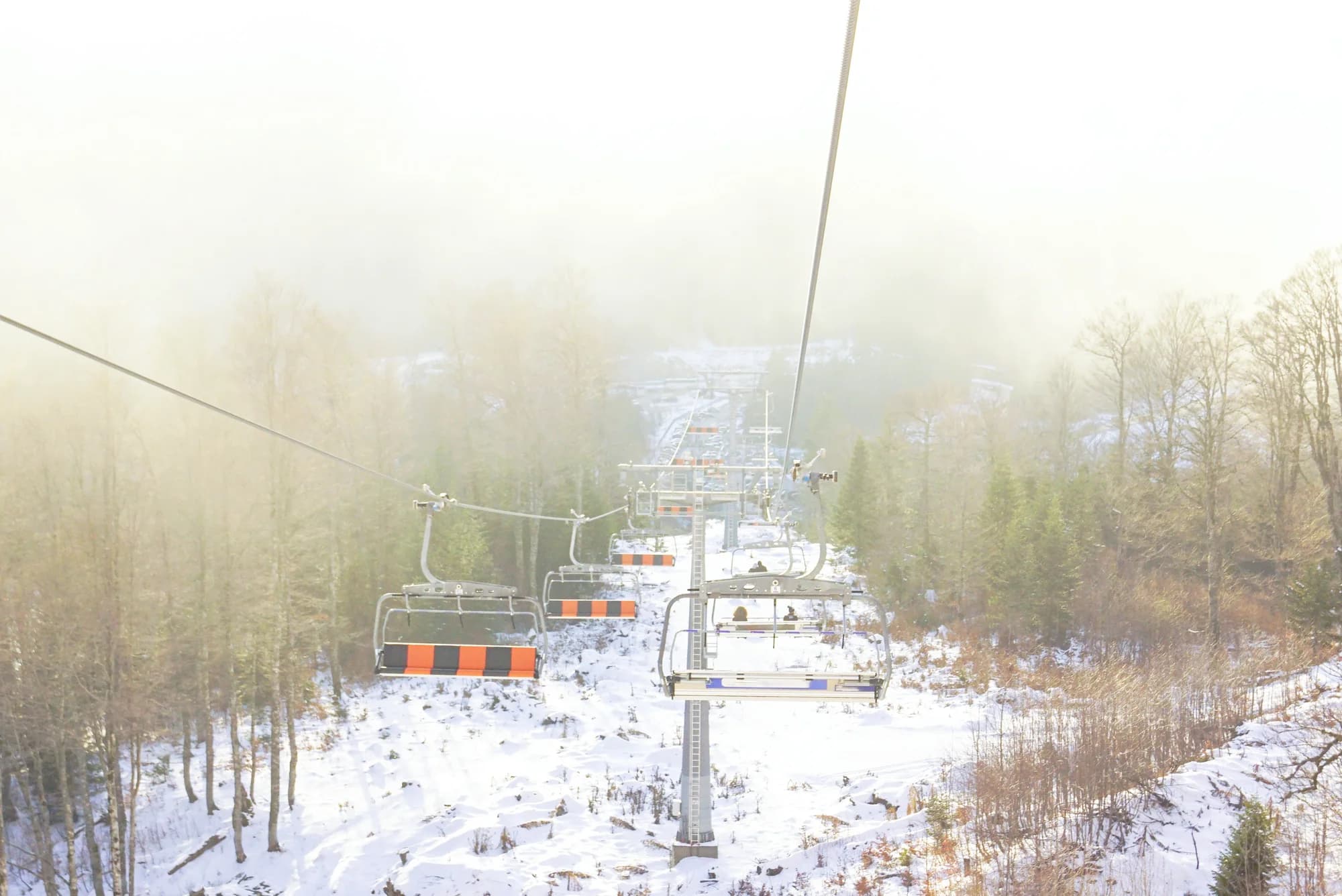
Ski area · 2,035 m
Kolašin 1600
Snow on 62% of January days
Montenegro’s main ski area, on the Bjelasica slopes above Kolašin, with a gondola up from the valley and the country’s most reliable lift-served snow.
Summit · 1,894 m
Zubački Kabao
The highest point of Orjen, the massif directly behind Herceg Novi, and one of the strangest places in the country: a bare limestone desert of sinkholes and karst at 1,900 m, an hour above a subtropical coast..
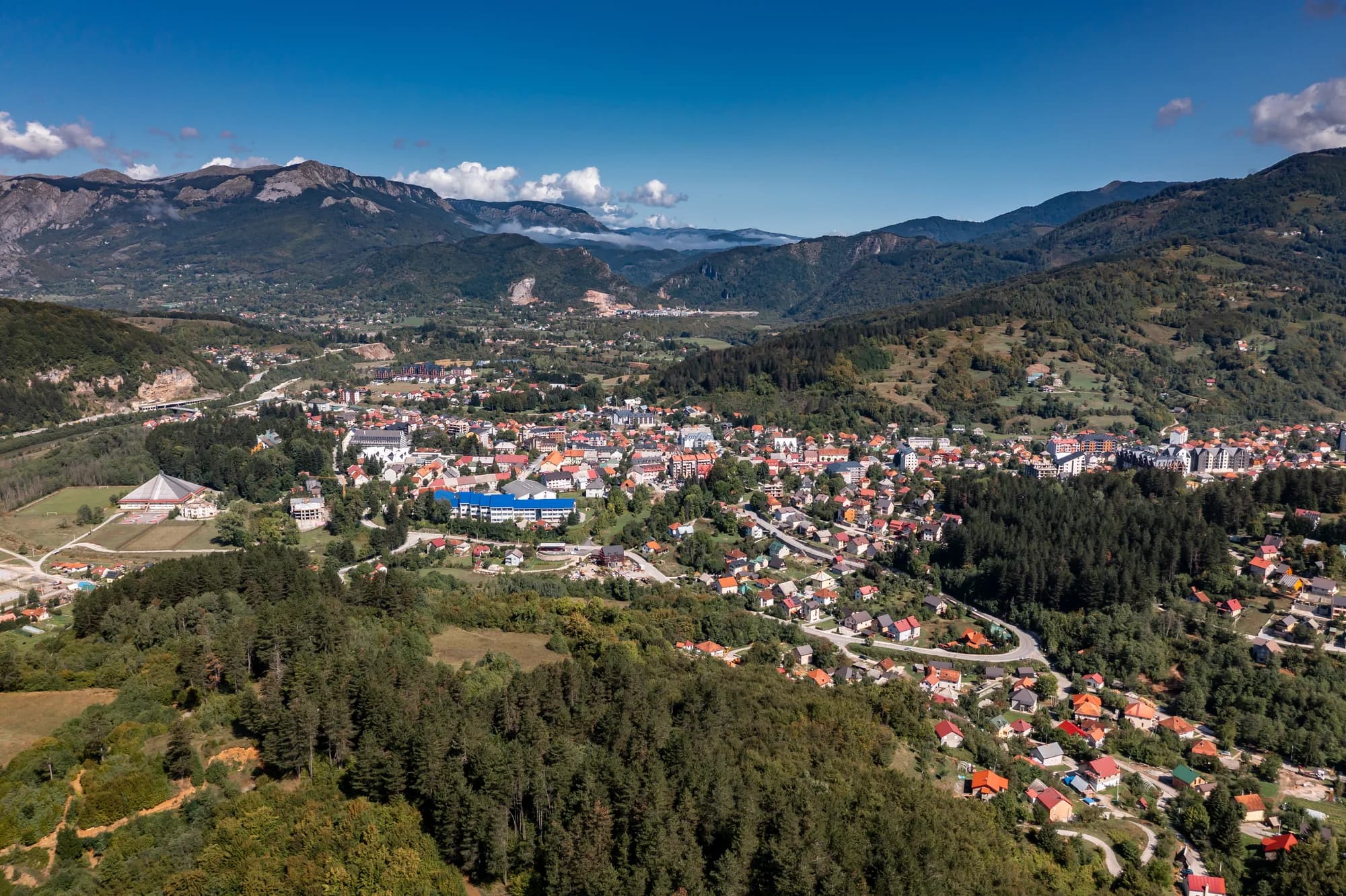
Ski area · 1,750 m
Kolašin 1450
Snow on 62% of January days
The older and smaller of the two Kolašin areas, on the same Bjelasica flank, with gentler terrain and a shorter lift system.
 Nearby, not the summit
Summit · 1,748 m
Štirovnik
The true summit of Lovćen, a hundred metres above the mausoleum that everyone drives to and almost nobody walks.
- Nearby, not the summit
Summit · 1,657 m
Jezerski Vrh
The second summit of Lovćen and the one that carries Njegoš’s mausoleum, reached from the car park by a tunnel and a long flight of steps cut into the mountain.
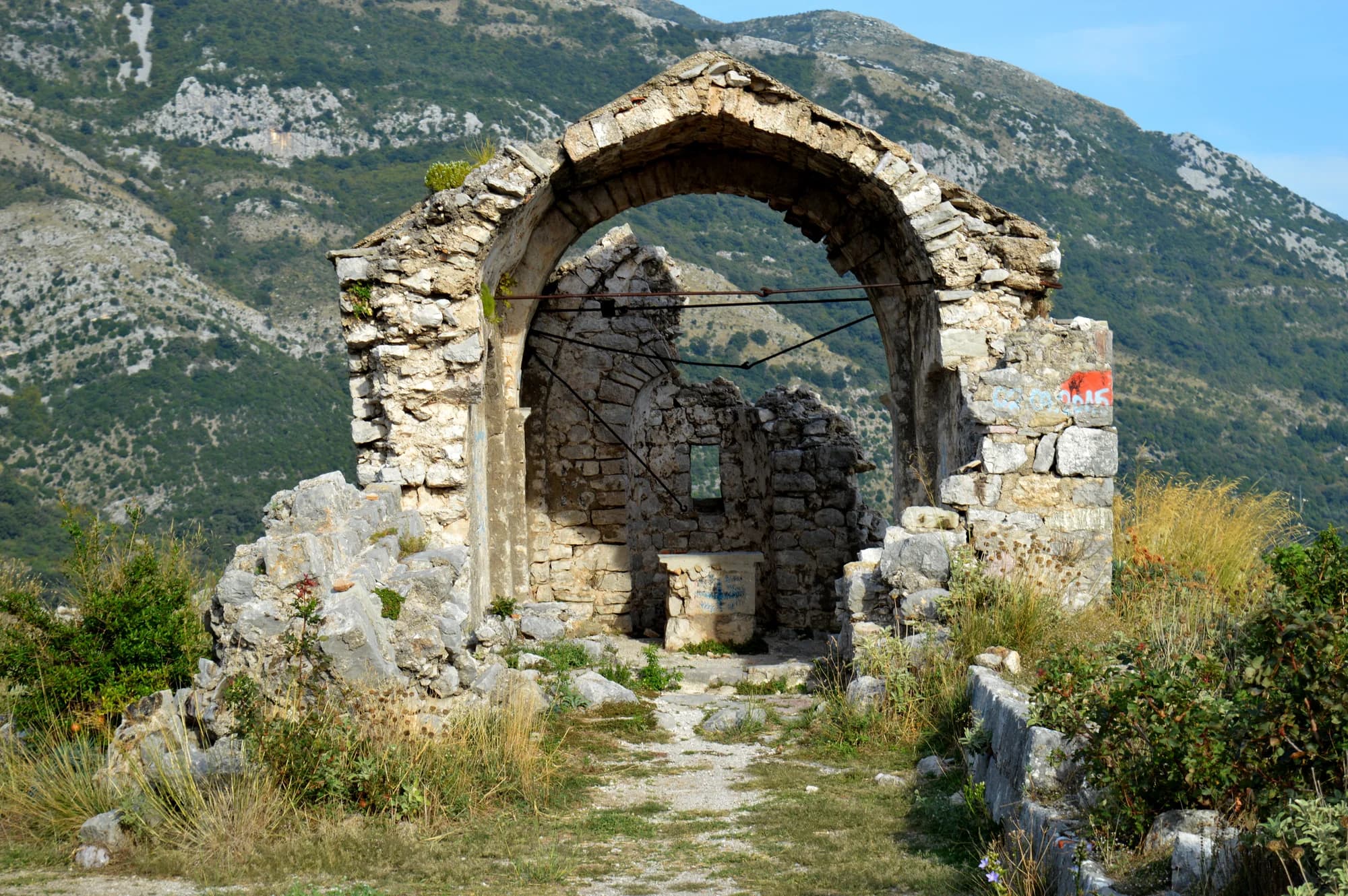
Summit · 1,594 m
Rumija
The ridge that separates Lake Skadar from the Adriatic, which means the summit has the sea on one side and the lake on the other — the single best view in the south of the country.
Start here
The five national parks and the summits people actually climb, in the order we would send someone.
No. 1 · National park · 2,523 m
Durmitor
The massif that made Montenegro a mountain country: forty-eight summits over 2,000 m around a plateau of glacial lakes, inscribed by UNESCO in 1980.
No. 2 · National park · 2,535 m
Prokletije
The most alpine ground in the country and the least visited: limestone walls above the Grebaje and Ropojana valleys, and Montenegro’s highest summit, Zla Kolata at 2,535 m, on the Albanian border.
- Nearby, not the summit
No. 3 · National park · 1,749 m
Lovćen
The black mountain the country is named after, and the one every visitor sees from the Kotor serpentines.
No. 4 · National park · 2,139 m
Biogradska Gora
One of the last primeval forests in Europe, and the reason the park exists: trees that have never been cut, some of them five hundred years old, around a glacial lake you can walk round in an hour on the flat.
No. 5 · National park · 1,594 m
Lake Skadar
The largest lake in the Balkans and the only one of the five parks that is mostly water.
No. 6 · Summit · 2,523 m
Bobotov Kuk
Durmitor’s best-known summit and the one most people mean when they say they climbed a mountain in Montenegro.
- Nearby, not the summit
No. 7 · Summit · 2,535 m
Zla Kolata
The highest point in Montenegro, at 2,535 m, on the ridge that forms the Albanian border above the Ropojana valley.
No. 8 · Summit · 2,487 m
Kom Kučki
The Komovi are three summits that stand almost alone above the meadows between Andrijevica and Kolašin, and Kom Kučki is the highest of them at 2,487 m.
No. 9 · Summit · 2,313 m
Savin Kuk
Žabljak’s ski mountain and a straightforward summer summit: the chairlifts take the first 700 m of ascent in winter, and in summer the walk up from Black Lake is the standard half-day from the town.
No. 10 · Summit · 2,403 m
Hajla
The mountain above Rožaje, on the Kosovo border, with a long grassy ridge and a sharp drop on its northern side.
Where the snow lies, and for how long
The share of days carrying a base of 30 cm or more, from 10 winters of daily reanalysis. January is the test and April is the one that ruins trips — a third of April days on the high massifs still carry a base.
| Subject | Summit | Jan | Apr | Bare ground |
|---|---|---|---|---|
| Zla Kolata | 2,535 m | 74% | 41% | May–Nov |
| Savin Kuk | 2,313 m | 72% | 38% | May–Nov |
| Prokletije | 2,535 m | 71% | 33% | May–Nov |
| Bobotov Kuk | 2,523 m | 69% | 32% | May–Nov |
| Durmitor | 2,523 m | 69% | 32% | May–Nov |
| Hajla | 2,403 m | 67% | 28% | May–Nov |
| Kom Kučki | 2,487 m | 65% | 25% | May–Nov |
| Kolašin 1600 | 2,035 m | 62% | 23% | May–Nov |
| Kolašin 1450 | 1,750 m | 62% | 23% | May–Nov |
| Biogradska Gora | 2,139 m | 57% | 21% | May–Nov |
5 subjects are missing from this table on purpose. Their grid cell does not resolve snow and we publish no depth for them rather than a number we do not believe — the method section says why.
Skiing
Two lift-served areas on the same Bjelasica flank above Kolašin, plus the chairlifts on Savin Kuk above Žabljak. What follows is eleven winters of record, not a snow report — check the resort on the day.
By massif
Durmitor
- Durmitor · 2,523 m
- Bobotov Kuk · 2,523 m
- Savin Kuk · 2,313 m
Bjelasica and the Komovi
- Biogradska Gora · 2,139 m
- Kom Kučki · 2,487 m
- Kolašin 1600 · 2,035 m
- Kolašin 1450 · 1,750 m
Prokletije
- Prokletije · 2,535 m
- Zla Kolata · 2,535 m
- Hajla · 2,403 m
Orjen and Lovćen
- Lovćen · 1,749 m
- Zubački Kabao · 1,894 m
- Štirovnik · 1,748 m
- Jezerski Vrh · 1,657 m
Rumija
- Rumija · 1,594 m
Lake Skadar
- Lake Skadar · 1,594 m
By what you want from it
The same sixteen subjects, sorted by the reason you would go. Each of these is a page.
How this is put together
Elevations and coordinates come from OpenStreetMap peak nodes, and every subject names the node it used. Park areas are measured from each park’s own boundary relation rather than copied — which is why Durmitor reads 323 km² here against the 390 km² usually quoted, a figure that takes in the Tara canyon buffer outside the boundary.
Temperatures are eleven years of daily reanalysis from Open-Meteo’s ERA5-Land archive, downscaled to each subject’s own elevation. Durmitor’s plateau at 1,970 m and Bobotov Kuk at 2,463 m came back 3.2 °C apart on the same January day, which is the standard lapse rate doing its work. A summit’s temperature record is that summit’s.
Snow depth is not downscaled. It is the value for a grid cell about nine kilometres across, so it describes the massif rather than the summit, and where two subjects fall in one cell the depth record is literally the same record — the page says so when it happens. On the coastal ridges that cell is mostly low ground beside a warm sea, and it reports almost no snow at altitudes its own temperatures put below freezing. For 5 subjects we therefore publish no depths at all. Eighteen centimetres in eleven winters on Orjen, which sits behind the wettest station in Europe, is not a measurement.
Today’s figures are different in kind: real measurements from the national hydrometeorological institute’s official station network, 22 stations reporting precipitation, minimum and maximum temperature and snow depth. They are shown separately from the record because a reading and a model are not the same claim. An empty snow field means not reported, never zero.