Ski area · Bjelasica and the Komovi · 2,035 m
Kolašin 1600
Our verdict
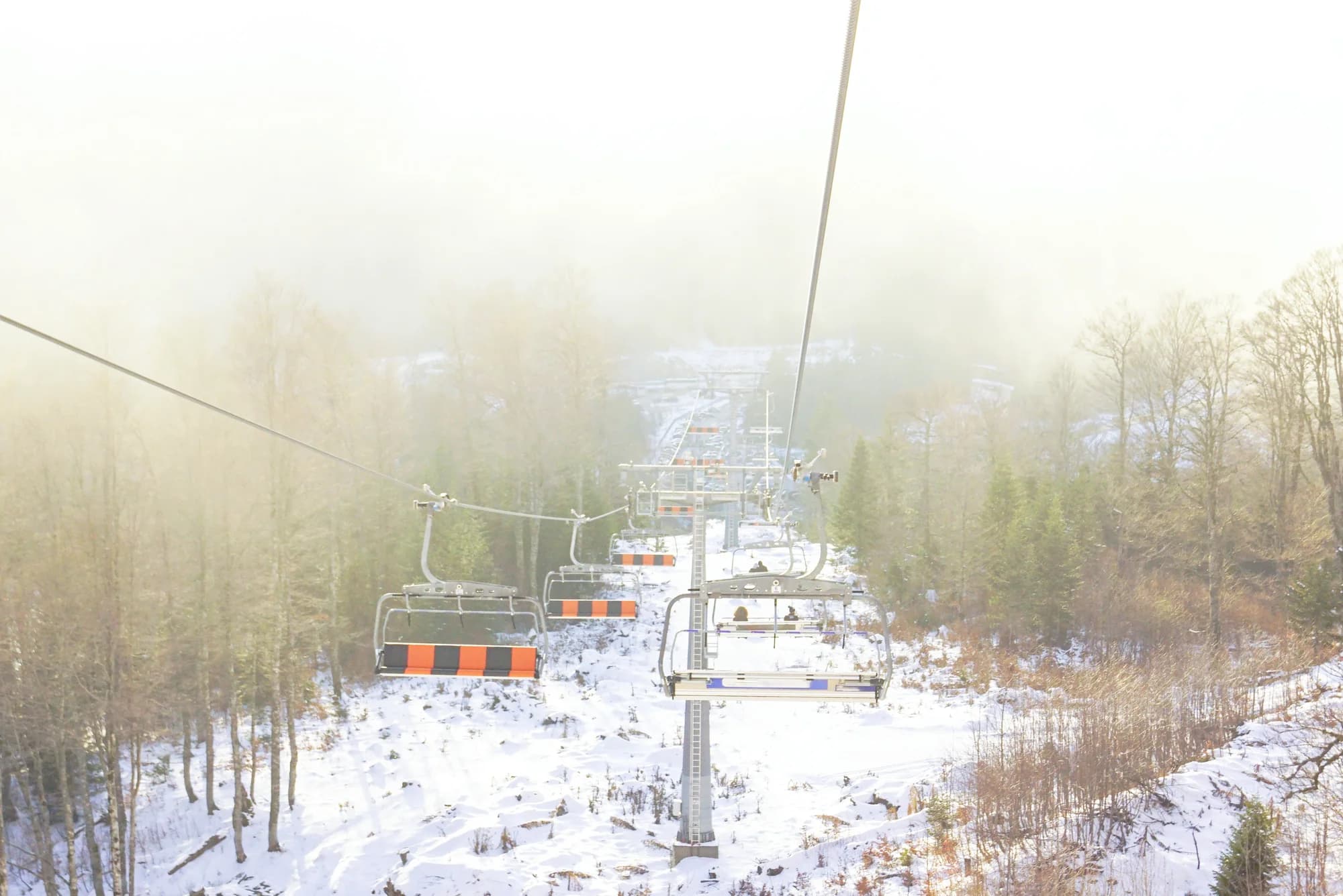
Montenegro’s main ski area, on the Bjelasica slopes above Kolašin, with a gondola up from the valley and the country’s most reliable lift-served snow. The town below is a real town rather than a resort, which is most of its appeal.
The honest part
The reliability figures on this page are the model’s reading for terrain at about 1,650 m — near the base, not the top. The upper pistes hold more. Nothing here replaces the resort’s own snow report on the day.
When to come
December to March. Eleven winters of record show a 30 cm base on about three-fifths of January days and half of March days, but individual winters vary enormously — one in the record had none at all.
- Skiing
- Snowshoeing
- Views
- Families
Where these are
How far, and how much up
No walking route, because the way up is a chairlift. Asked for a path, the computation found a kilometre of trail that descends — true about the path network and useless about the mountain.
When the snow lies
Kolašin 1600 is usually clear of a 30 cm base from May to Nov. Outside that window, plan for snow on the ground.
Across the record the ground came reliably under 5 cm around April 15 and went back under snow around December 2. Those are medians of eleven years, not a promise about this one.
| Month | Over 1 cm | Over 30 cm base | Mean depth | Daytime high |
|---|---|---|---|---|
| Jan | 95% | 62% | 37 cm | -1.3 °C |
| Feb | 92% | 56% | 44 cm | 1.2 °C |
| Mar | 85% | 49% | 41 cm | 3.5 °C |
| Apr | 57% | 23% | 21 cm | 8.1 °C |
| May | 9% | 1% | 1 cm | 12.3 °C |
| Jun | — | — | — | 17.5 °C |
| Jul | — | — | — | 20.5 °C |
| Aug | — | — | — | 20.6 °C |
| Sep | — | — | — | 15.5 °C |
| Oct | 8% | — | 1 cm | 11.0 °C |
| Nov | 27% | — | 2 cm | 5.8 °C |
| Dec | 71% | 22% | 14 cm | 1.4 °C |
The winters vary more than any average suggests. Across 10 winters Kolašin 1600 carried a 30 cm base for a median of 42 days: 0 in 2019 and 129 in 2020. Eleven winters is a record, not a climate, and nothing here is a trend.
| Winter | Days over 30 cm | Deepest |
|---|---|---|
| 2015–16 | 26 | 45 cm |
| 2016–17 | 38 | 61 cm |
| 2017–18 | 108 | 105 cm |
| 2018–19 | 95 | 90 cm |
| 2019–20 | — | 22 cm |
| 2020–21 | 129 | 124 cm |
| 2021–22 | 118 | 83 cm |
| 2022–23 | 34 | 55 cm |
| 2023–24 | — | 22 cm |
| 2024–25 | 42 | 66 cm |
Temperatures are corrected to 1,647 m, the terrain height at the point we query; the summit is 2,035 m. Snow depth is not corrected — it is a grid cell about nine kilometres across, so read it as the massif rather than the summit.
That cell is shared with Kolašin 1450, so the snow depths on those pages are these same numbers. The temperatures are not shared — those are corrected to each summit.
Reanalysis from ERA5-Land (Copernicus), served by Open-Meteo.
Kolašin 1600, in facts
The mountain
| Summit | 2,035 mThe top of the lift-served terrain on Bjelasica; the resort name gives the base elevation |
|---|---|
| Massif | Bjelasica and the Komovi |
| Kind | Ski area |
| Record height | 1,647 mThe elevation the temperature record is corrected to. The summit is 2,035 m. |
Getting up it
| Trailhead | The resort base above Kolašin |
|---|---|
| Difficulty | A walk |
| Road | Sealed from Kolašin |
| Parking | Free |
| Lift | Chairlifts and a gondola from the town side |
| Bus | Kolašin is on the Belgrade–Bar railway |
| Marked route | Yes |
Up there
| Hut | Planinarski dom Vranjak, 0.5 km away |
|---|---|
| Water | Springs mapped within 4 km |
| Food | Restaurant |
| Toilets | Yes |
| Shelter | Yes |
| Mobile signal | Yes |
Facts last checked against their sources on September 30, 2026.
Where these facts come from
- OpenStreetMap natural=spring and amenity=drinking_water nodes within 4 km for the water field
- OpenStreetMap tourism=alpine_hut and wilderness_hut nodes for the nearest mountain hut and its distance
- OpenStreetMap winter_sports areas and aerialway ways for the resort footprint and lifts
- Our Kolašin guide
- Open-Meteo ERA5-Land archive 2015–2025 for the snow record
Photographs
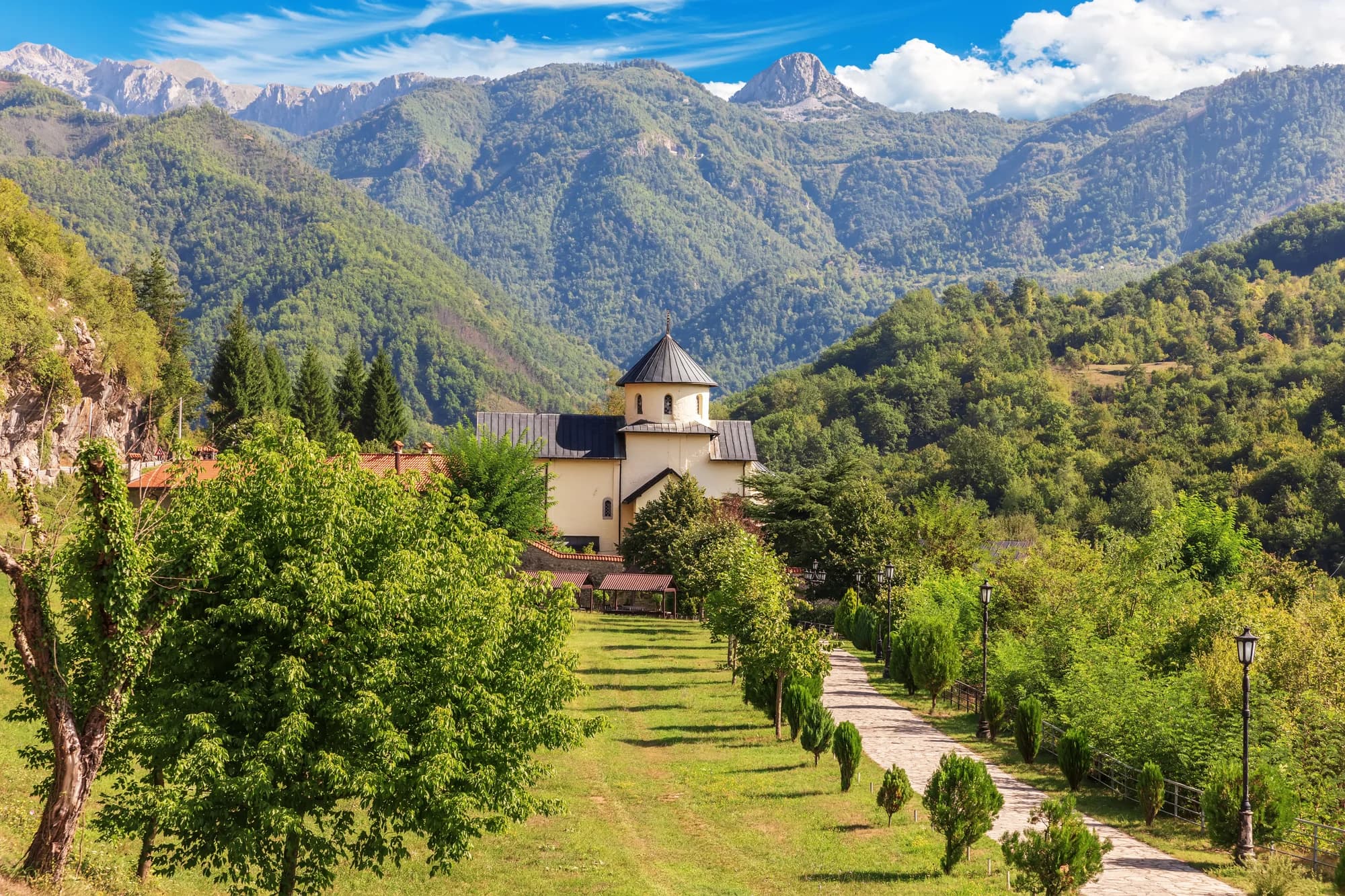
Kolašin and the mountains behind it


