National park · Bjelasica and the Komovi · 2,139 m
Biogradska Gora
Nacionalni park Biogradska gora
Our verdict
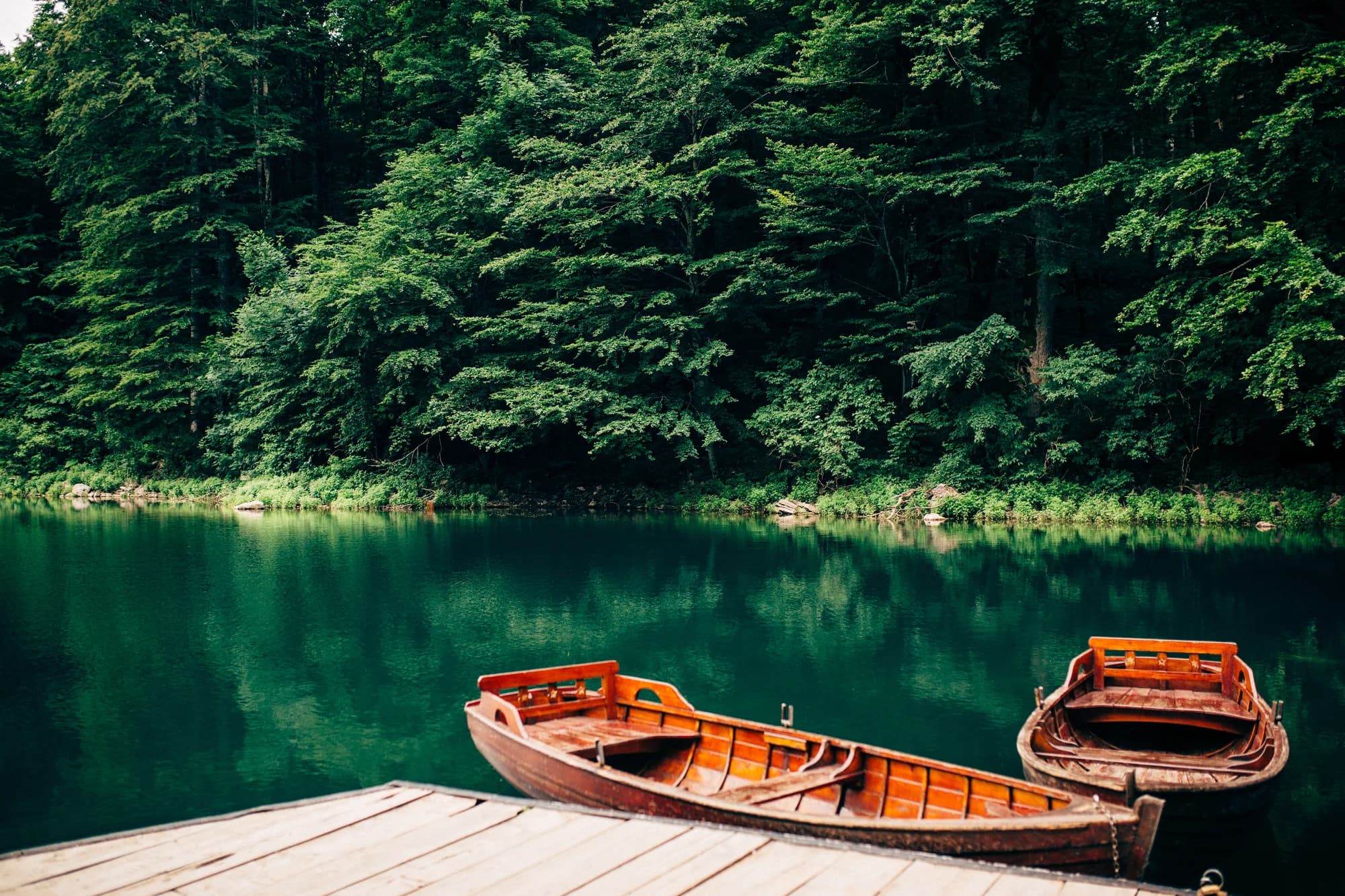
One of the last primeval forests in Europe, and the reason the park exists: trees that have never been cut, some of them five hundred years old, around a glacial lake you can walk round in an hour on the flat. It is the gentlest of the five parks and the easiest to visit with children.
The honest part
The lake circuit is the park and almost everybody stops there. The Bjelasica ridges behind it are a different proposition with far fewer people on them. In high summer the lakeside car park fills by mid-morning.
When to come
May to October for the forest and the lake. The road in is kept open but the higher ground holds snow into spring.
- Families
- Old-growth forest
- Lakes
- Day hike
- You can drive it
Where these are
How far, and how much up
No single route: a park’s coordinate is the middle of a boundary rather than somewhere anyone walks to. The routes are on its summits’ own pages.
When the snow lies
Biogradska Gora is usually clear of a 30 cm base from May to Nov. Outside that window, plan for snow on the ground.
Across the record the ground came reliably under 5 cm around April 9 and went back under snow around December 2. Those are medians of eleven years, not a promise about this one.
| Month | Over 1 cm | Over 30 cm base | Mean depth | Daytime high |
|---|---|---|---|---|
| Jan | 95% | 57% | 33 cm | 1.8 °C |
| Feb | 91% | 51% | 39 cm | 4.5 °C |
| Mar | 82% | 50% | 37 cm | 6.8 °C |
| Apr | 55% | 21% | 20 cm | 11.6 °C |
| May | 8% | 1% | 1 cm | 15.7 °C |
| Jun | — | — | — | 20.7 °C |
| Jul | — | — | — | 23.6 °C |
| Aug | — | — | — | 23.6 °C |
| Sep | — | — | — | 18.8 °C |
| Oct | 8% | — | 1 cm | 14.1 °C |
| Nov | 28% | — | 2 cm | 9.0 °C |
| Dec | 72% | 20% | 13 cm | 4.6 °C |
The winters vary more than any average suggests. Across 10 winters Biogradska Gora carried a 30 cm base for a median of 42 days: 0 in 2019 and 127 in 2020. Eleven winters is a record, not a climate, and nothing here is a trend.
| Winter | Days over 30 cm | Deepest |
|---|---|---|
| 2015–16 | 32 | 47 cm |
| 2016–17 | 35 | 57 cm |
| 2017–18 | 77 | 87 cm |
| 2018–19 | 95 | 86 cm |
| 2019–20 | — | 19 cm |
| 2020–21 | 127 | 114 cm |
| 2021–22 | 108 | 76 cm |
| 2022–23 | 33 | 53 cm |
| 2023–24 | — | 21 cm |
| 2024–25 | 42 | 63 cm |
Temperatures are corrected to 1,142 m, the terrain height at the point we query; the summit is 2,139 m. Snow depth is not corrected — it is a grid cell about nine kilometres across, so read it as the massif rather than the summit.
Reanalysis from ERA5-Land (Copernicus), served by Open-Meteo.
Biogradska Gora, in facts
The mountain
| Summit | 2,139 mCrna glava, the Bjelasica summit inside the park, commonly given as 2,139 m |
|---|---|
| Massif | Bjelasica and the Komovi |
| Kind | National park |
| Record height | 1,142 mThe elevation the temperature record is corrected to. The summit is 2,139 m. |
Getting up it
| Trailhead | The lake, reached by a short park road off the Kolašin–Mojkovac highway |
|---|---|
| Difficulty | A stroll |
| Road | Sealed to the lake |
| Parking | Paid |
| Bus | Kolašin and Mojkovac are both on the Belgrade–Bar line |
| Marked route | Yes |
Up there
| Hut | Katun Dolovi Lalevica, 2.6 km away |
|---|---|
| Water | Springs mapped within 4 km |
| Food | Restaurant |
| Toilets | Yes |
| Shelter | Not checked |
| Mobile signal | Not checked |
The park
| Area | 57.7 km²Measured from OpenStreetMap relation 7126576. Commonly quoted as 54 km² or 5,650 ha. |
|---|---|
| Entry | Not checked |
Rules worth knowing
- Camping only at the lakeside site
- Fires only in the provided places
Facts last checked against their sources on September 30, 2026.
Where these facts come from
- OpenStreetMap natural=spring and amenity=drinking_water nodes within 4 km for the water field
- OpenStreetMap tourism=alpine_hut and wilderness_hut nodes for the nearest mountain hut and its distance
- OpenStreetMap relation 7126576 for the boundary and area
- Our Biogradsko Jezero guide
- Open-Meteo ERA5-Land archive 2015–2025 for the snow and temperature record
Photographs
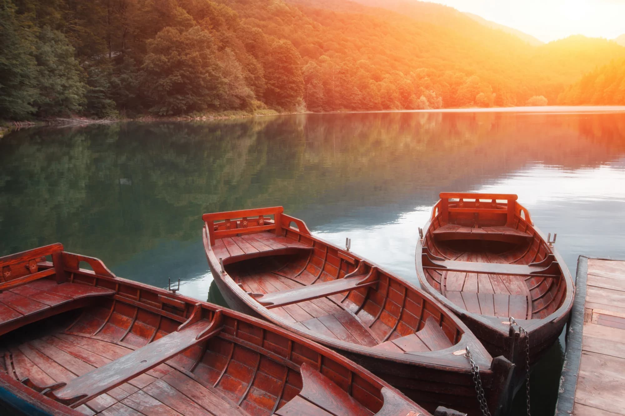
Old-growth trees in Biogradska Gora 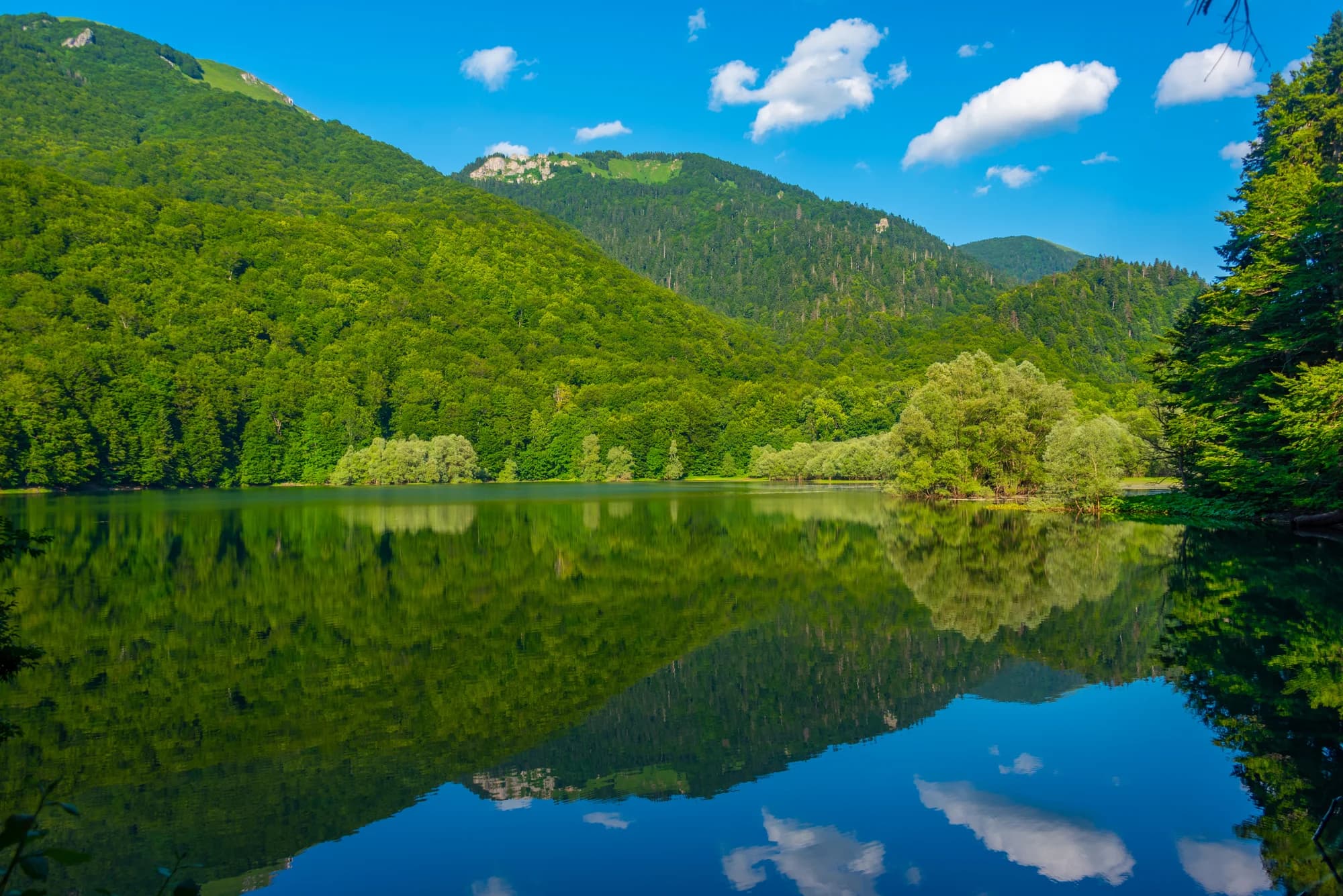
The lakeside path


