Summit · Bjelasica and the Komovi · 2,487 m
Kom Kučki
Our verdict
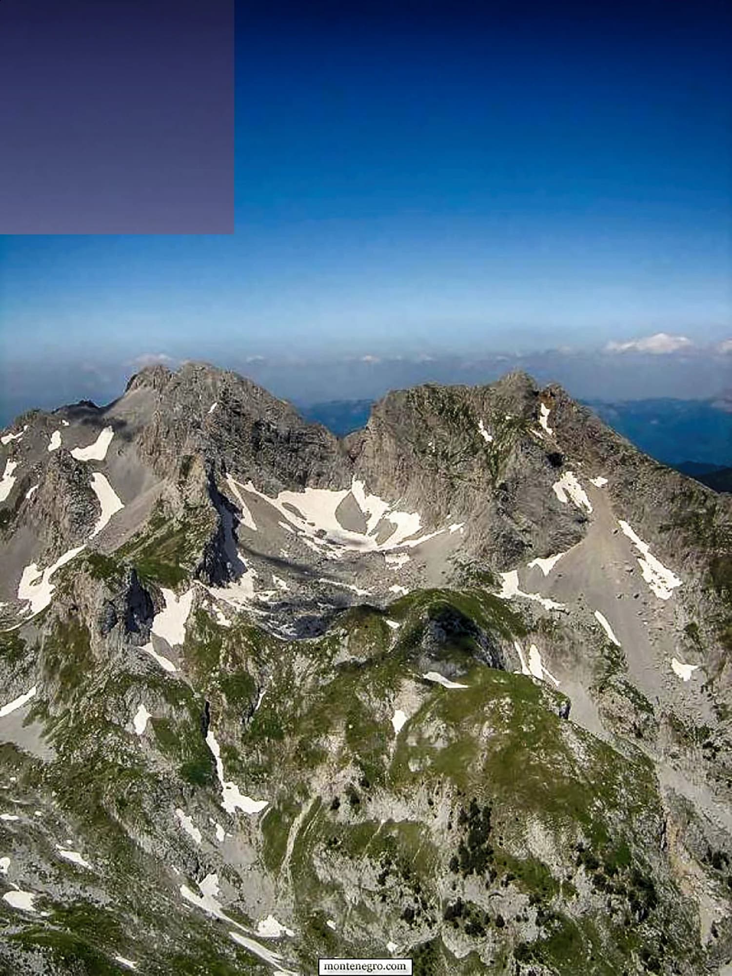
The Komovi are three summits that stand almost alone above the meadows between Andrijevica and Kolašin, and Kom Kučki is the highest of them at 2,487 m. The approach from the Štavna meadow is short, the final section is a scramble, and the isolation makes the view larger than the altitude.
The honest part
Three summits carry the name Kom — Kučki, Vasojevićki and Ljevorečki — and route descriptions online mix them up freely. The gravel road to Štavna is rough and there is no signal once you leave Andrijevica.
When to come
Late June to early October. The meadows below are grazed through the summer and the katuns are occupied.
- Summit day
- Views
- Wildflowers
- Dark skies
Where these are
How far, and how much up
From the nearest place you can park, Kom Kučki is 4.36 km of walking and 974 m of climbing, starting at 1,777 m.
- Distance
- 4.36 km
- Ascent
- 974 m
- From
- 1,777 m
- To
- 2,407 m
Measured along OpenStreetMap’s own path network from the nearest node you can drive to, with elevations from the Copernicus DEM sampled at a hundred points. Ascent is the total climb including the dips, not the difference between the two ends. A 90 m model smooths short steep steps, so treat it as a floor.
No walking time, on purpose. Distance and ascent are measurable; a pace belongs to the walker. Every “four to five hours” on the web is somebody’s guess wearing a number’s clothes.
The way up also loses 344 m, which a net figure would hide.
When the snow lies
Kom Kučki is usually clear of a 30 cm base from May to Nov. Outside that window, plan for snow on the ground.
Across the record the ground came reliably under 5 cm around April 17 and went back under snow around December 2. Those are medians of eleven years, not a promise about this one.
| Month | Over 1 cm | Over 30 cm base | Mean depth | Daytime high |
|---|---|---|---|---|
| Jan | 95% | 65% | 38 cm | -6.0 °C |
| Feb | 92% | 58% | 47 cm | -3.7 °C |
| Mar | 87% | 49% | 44 cm | -1.6 °C |
| Apr | 59% | 25% | 22 cm | 2.8 °C |
| May | 10% | 1% | 1 cm | 7.3 °C |
| Jun | — | — | — | 12.6 °C |
| Jul | — | — | — | 15.6 °C |
| Aug | — | — | — | 15.7 °C |
| Sep | — | — | — | 10.9 °C |
| Oct | 7% | — | — | 6.4 °C |
| Nov | 26% | — | 2 cm | 1.3 °C |
| Dec | 70% | 22% | 15 cm | -3.3 °C |
The winters vary more than any average suggests. Across 10 winters Kom Kučki carried a 30 cm base for a median of 46 days: 0 in 2019 and 129 in 2020. Eleven winters is a record, not a climate, and nothing here is a trend.
| Winter | Days over 30 cm | Deepest |
|---|---|---|
| 2015–16 | 25 | 46 cm |
| 2016–17 | 46 | 66 cm |
| 2017–18 | 118 | 122 cm |
| 2018–19 | 94 | 97 cm |
| 2019–20 | — | 24 cm |
| 2020–21 | 129 | 127 cm |
| 2021–22 | 123 | 85 cm |
| 2022–23 | 33 | 53 cm |
| 2023–24 | — | 24 cm |
| 2024–25 | 40 | 65 cm |
Temperatures are corrected to 2,407 m, the terrain height at the point we query; the summit is 2,487 m. Snow depth is not corrected — it is a grid cell about nine kilometres across, so read it as the massif rather than the summit.
Reanalysis from ERA5-Land (Copernicus), served by Open-Meteo.
Kom Kučki, in facts
The mountain
| Summit | 2,487 mOpenStreetMap peak node, ele 2487 (Q3198500) |
|---|---|
| Massif | Bjelasica and the Komovi |
| Kind | Summit |
| Record height | 2,407 mThe elevation the temperature record is corrected to. The summit is 2,487 m. |
Getting up it
| Trailhead | Štavna, the high meadow between the Koms |
|---|---|
| Difficulty | Scrambling |
| Road | Gravel to Štavna |
| Parking | Roadside |
| Bus | Not checked |
| Marked route | Yes |
Up there
| Hut | Koliba PSD Željezničar at Štavna |
|---|---|
| Water | Springs mapped within 4 km |
| Food | At the hut |
| Toilets | Not checked |
| Shelter | Yes |
| Mobile signal | No |
Hazards
- Scrambling near the summit
- No mobile signal
- Rough approach road
Facts last checked against their sources on September 30, 2026.
Where these facts come from
- OpenStreetMap natural=spring and amenity=drinking_water nodes within 4 km for the water field
- OpenStreetMap peak nodes for all three Koms
- Our Komovi guide
- Open-Meteo ERA5-Land archive 2015–2025 for the snow and temperature record
Photographs
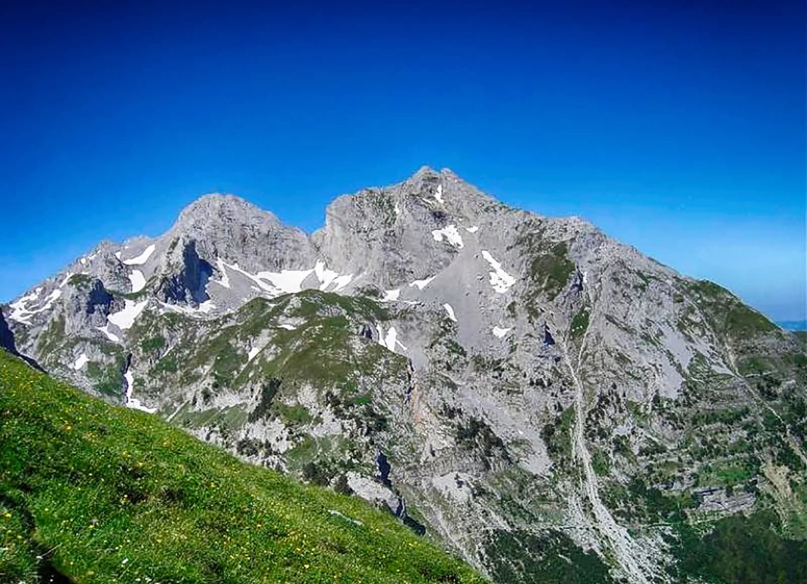
The meadow approach to the Koms 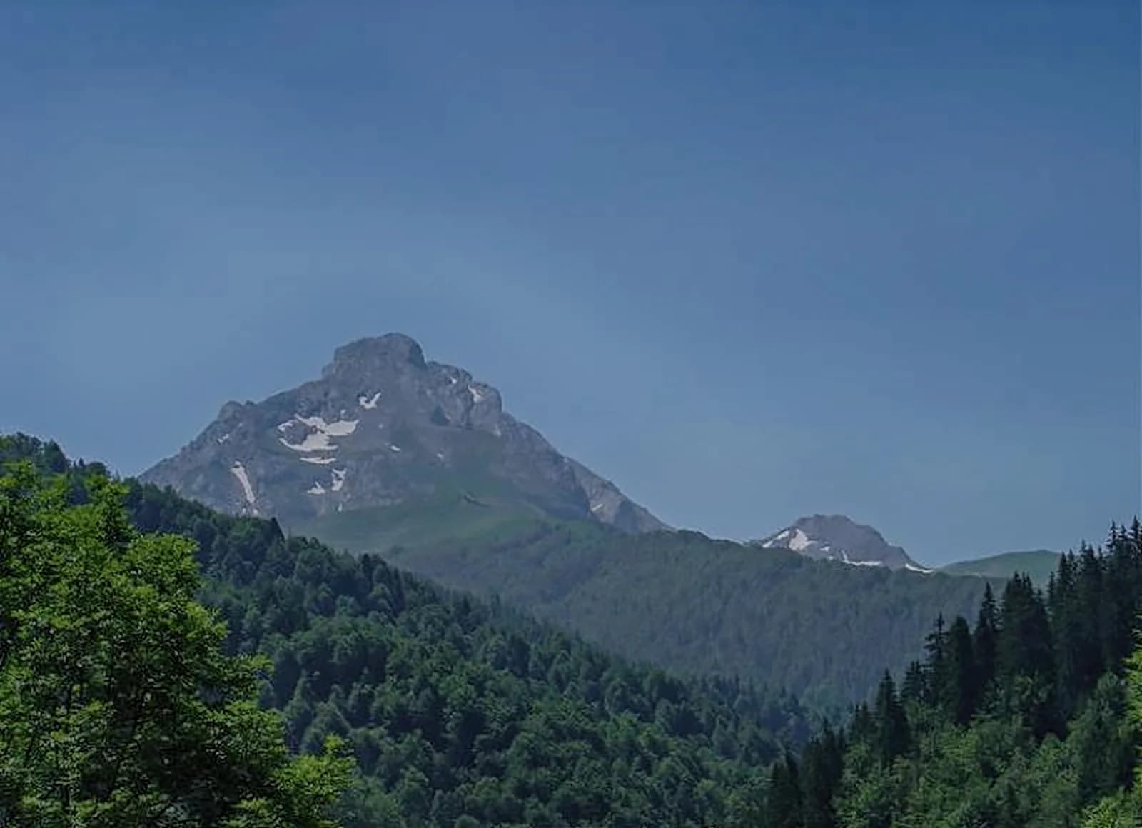
Limestone and grass on the Komovi 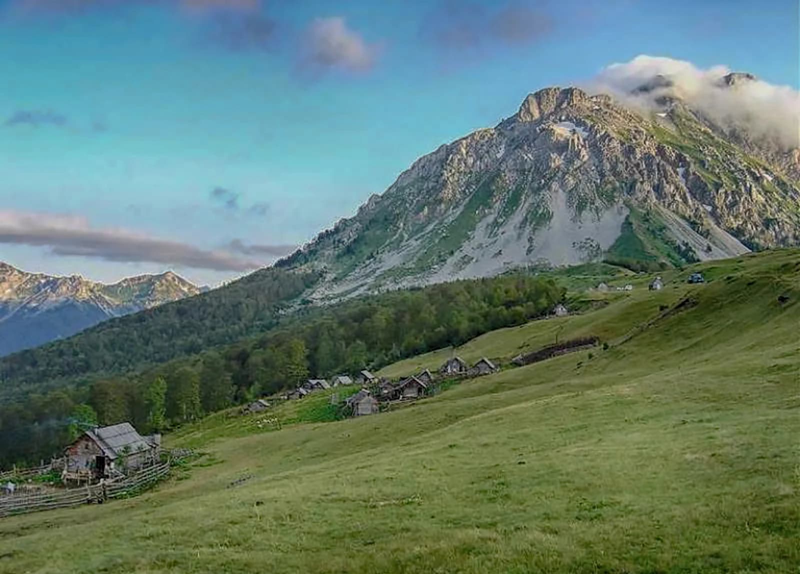
A katun below the Koms
