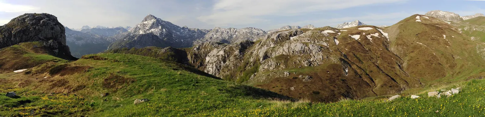
Komovi: Montenegro's Sacred Mountain Range for Serious Hikers
Komovi is a dramatic three-peaked mountain range in eastern Montenegro, offering serious hiking, alpine meadows, and traditional shepherd culture far from tourist crowds.
Updated Originally published 20 min readby Montenegro.com Editorial Team
Komovi: The Sacred Crown of Eastern Montenegro
The Komovi massif is one of Montenegro's most impressive and least-visited mountain ranges, rising to 2,487 metres at Kom Vasojevićki — the country's fourth-highest peak. Located in eastern Montenegro between the towns of Andrijevica and Kolašin, Komovi consists of three main summits: Kom Vasojevićki (2,487 m), Kom Kučki (2,487 m), and Kom Ljevoriječki (2,469 m). Despite rivalling Durmitor in grandeur, Komovi sees a fraction of the visitors, offering those who make the journey an experience of genuine mountain wilderness.
For the people of eastern Montenegro, Komovi holds an almost sacred significance. The three peaks are traditionally associated with the three main tribal groups of the region — the Vasojevići, the Kuči, and the Bratonožići — and the mountain has served as a gathering place, a boundary marker, and a symbol of regional identity for centuries. Local legend holds that the three tribes would light fires on their respective peaks to signal across the valleys, and today the annual Komovi mountaineering gathering (Komovski Zbor) continues this tradition of bringing communities together on the mountain.
The hiking on Komovi is serious and rewarding. The summit routes are steep, exposed, and require a good level of fitness and mountain experience. But the rewards are extraordinary: vast panoramic views stretching from the Adriatic to the Albanian Alps, pristine alpine meadows untouched by development, and the rare satisfaction of standing on a genuinely wild summit that most guidebooks barely mention.
How to Get There
Komovi lies in eastern Montenegro, with the main access points being the town of Andrijevica to the east and the town of Kolašin to the west. The most popular trailhead is at Štavna, a high-altitude pastoral settlement (approximately 1,700 metres) on the southeastern flank of the mountain, reached by a mountain road from Andrijevica.
From Andrijevica, the road to Štavna climbs through the village of Kralje and then follows a winding, partially unpaved track through forest and meadows. The drive takes about 45 minutes from Andrijevica, but the road is rough in places and a vehicle with good clearance (ideally four-wheel drive) is recommended, especially after rain. In dry conditions, a standard car can usually manage with careful driving.
From Kolašin, an alternative approach follows the road northeast toward Mateševo and then toward the western side of the massif. This route is less frequently used but offers a different perspective on the mountain. The drive from Kolašin to the western trailheads takes about 1-1.5 hours.
Andrijevica is approximately 150 kilometres from Podgorica (about 2.5 hours' drive) via the E65 highway toward Bijelo Polje, then turning south. From the coast, allow 3-4 hours' driving time. Kolašin is closer to Podgorica, about 70 kilometres (1 hour) along the main highway toward Mojkovac.
There is no public transport to the Komovi trailheads. A rental car is essential, and parking is available at Štavna and at several points along the approach roads. Local guides and taxi services can be arranged through accommodation providers in Andrijevica.
Best Time to Visit
The hiking season on Komovi runs from late June through September, with July and August being the most reliable months for good conditions. Snow covers the higher elevations from October through May, and significant snow patches can persist on north-facing slopes and in gullies well into July, particularly in heavy snow years.
Climate at a glance
Best time: April · May · October
July is the prime month for wildflower displays on the alpine meadows, with gentians, orchids, mountain avens, and other alpine species carpeting the slopes above the treeline. August tends to bring the most stable weather, though afternoon thunderstorms are always possible in the mountains. September offers clearer air and autumn colours in the beech forests on the lower slopes, but days are shorter and temperatures drop quickly at altitude.
The annual Komovski Zbor (mountaineering gathering) typically takes place in late July or early August, attracting hundreds of hikers from across Montenegro and the region. This is the most social time to climb Komovi, with organized groups, traditional food, and a festive atmosphere at the Štavna base. Check dates locally, as they vary year to year.
Winter ascents of Komovi are serious mountaineering expeditions requiring alpine equipment, avalanche awareness, and significant experience. The mountain is not recommended for winter recreation without proper skills and gear.
Top Things to See and Do
Ascent of Kom Vasojevićki (2,487m)
The most popular summit route ascends Kom Vasojevićki from the Štavna base at approximately 1,700 metres. The trail climbs steeply through alpine meadows and then ascends rocky terrain to the summit ridge. The final section involves some scrambling over exposed rock, and a head for heights is helpful, though no technical climbing equipment is required in good conditions. The ascent takes approximately 3-4 hours, with 2-3 hours for the descent. The summit views are extraordinary — a 360-degree panorama encompassing Durmitor to the northwest, Prokletije to the northeast, the Adriatic coast to the southwest, and the mountains of Albania stretching eastward. On exceptionally clear days, the view extends to the peaks of Kosovo and North Macedonia.
Traverse of the Three Peaks
The ultimate Komovi challenge is the traverse of all three main summits in a single day: Kom Vasojevićki, Kom Kučki, and Kom Ljevoriječki. This demanding route covers significant distance and elevation change, with sustained rocky terrain and exposed ridgelines connecting the peaks. Allow 8-10 hours for the full traverse and start at dawn. The route is not technically difficult by mountaineering standards, but it is long, physically demanding, and requires excellent navigation in the event of cloud cover. Only attempt this route in settled weather with adequate supplies and fitness.
Štavna Alpine Pastures
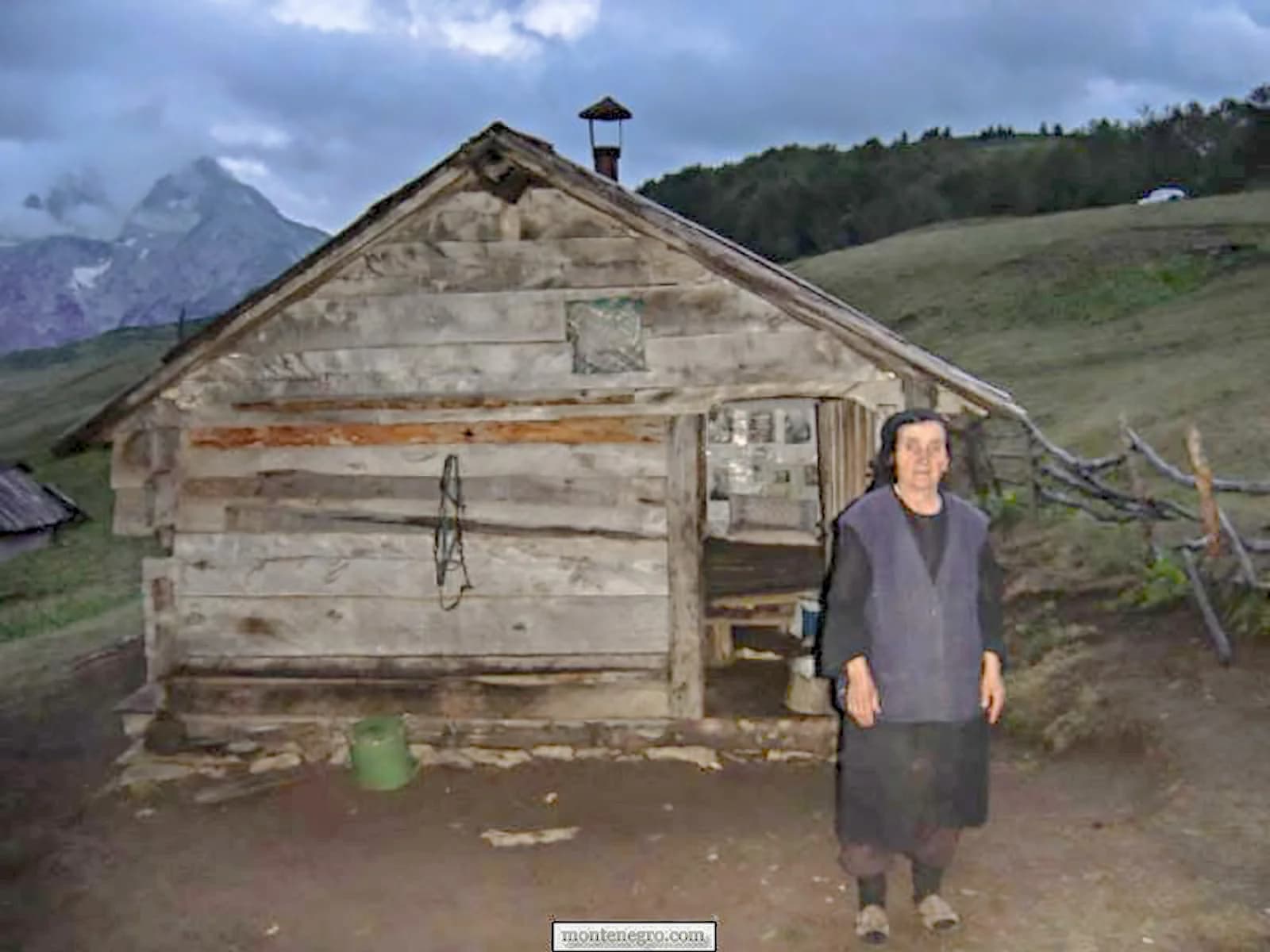
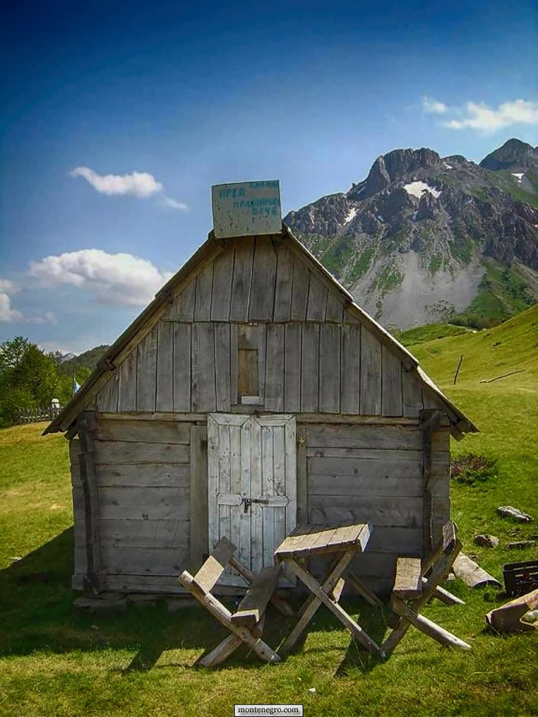
The Štavna area itself, even without summiting, is a rewarding destination. The high-altitude pastoral settlement sits in a beautiful bowl surrounded by peaks, with log shepherd's huts (katuns) scattered across green meadows grazed by cattle and sheep. This is a living example of the traditional transhumance system, where herders from the valleys below bring their livestock to the high pastures in summer, living in the katuns and making cheese. The scenery is spectacular — lush meadows ringed by dramatic rocky peaks, with wildflowers in profusion during July. Even a gentle walk around the Štavna meadows, without attempting the summits, provides a memorable mountain experience.
Vasojevići Cultural Heritage
The Komovi region falls within the traditional territory of the Vasojevići, one of the largest and most historically significant tribal groups in Montenegro. The town of Andrijevica and the surrounding villages preserve a rich cultural heritage, including traditional architecture (stone houses with steep roofs), folk music and dance traditions, and a strong oral history. The local museum in Andrijevica provides context on the Vasojevići history, including their role in the Montenegrin wars of independence. Visiting Andrijevica before or after a Komovi hike adds a cultural dimension to the mountain experience.
Zeletinski Forest
The approach to Komovi from Andrijevica passes through the Zeletinski forest, one of the finest remaining old-growth beech and fir forests in Montenegro. The towering trees, some of which are centuries old, create a cathedral-like atmosphere, with shafts of sunlight penetrating the dense canopy. The forest floor is rich with mushrooms in autumn, and the birdlife includes several woodpecker species, goshawks, and other forest raptors. A walk through the Zeletinski forest, even without continuing to the mountain, is a worthwhile excursion.
Photography and Mountain Light
Komovi is a photographer's paradise. The interplay of light and shadow on the rocky peaks, particularly at dawn and dusk, creates dramatic conditions. The alpine meadows provide a green foreground for mountain compositions, and the traditional katun huts add a human element to the wild landscape. Sunrise from the summit of Kom Vasojevićki — which requires either an overnight camp at Štavna or a very early start — is one of the most spectacular natural displays in Montenegro. The light sweeps across the peaks one by one as the sun rises over Albania to the east.
Mountaineering Skills
For aspiring mountaineers, Komovi offers an excellent training ground. The summit routes involve route-finding on rocky terrain, basic scrambling, and exposure that requires confidence but not ropes. The relatively short approach (compared to Prokletije or Durmitor multi-day routes) means you can practice mountain skills in a day format, returning to the comfort of valley accommodation each evening. Local mountain guides are available through clubs in Andrijevica and Kolašin, and their knowledge of the routes, conditions, and mountain weather is invaluable.
Mountain Biking to Štavna
The rough road from Andrijevica to Štavna can be ridden on a mountain bike, offering a challenging but rewarding approach to the mountain. The climb from the valley to the Štavna meadows gains approximately 1,000 metres over about 20 kilometres, with some steep and technical sections on the upper road. The descent is thrilling. Combined with a walk around the Štavna meadows, this makes for a full day of mountain adventure.
Where to Stay
At the Štavna trailhead, a basic mountain hut (planinarski dom) operates during the hiking season, offering dormitory-style accommodation and simple meals. Conditions are basic — bring a sleeping bag and be prepared for cold nights — but the location is perfect for early-morning summit attempts. The hut can be busy during the Komovski Zbor gathering, so booking ahead is advisable during that period.
Wild camping at Štavna and on the mountain is permitted and tolerated. There are several excellent tent sites on the meadows, with water available from streams in the area (though these can dry up in late summer). Camping under the stars at Štavna, with the peaks of Komovi silhouetted against the night sky, is an experience that rivals any mountain campsite in Europe.
Andrijevica, in the valley below, offers a handful of guesthouses, small hotels, and private rooms. Facilities are basic but comfortable, and the hospitality is warm. This is a good base for day trips to the mountain, with the drive to Štavna taking about 45 minutes. Restaurants in Andrijevica serve hearty local food at very low prices.
Kolašin, on the western approach, has a more developed tourism infrastructure, including several good hotels, eco-lodges, and restaurants. It is the base for the Kolašin 1450 and Kolašin 1600 ski resorts and has an increasingly year-round tourism economy. From Kolašin, Komovi is accessible as a long day trip via the western approach.
Where to Eat and Local Cuisine
On the mountain itself, food options are limited to whatever you carry and the basic provisions available at the Štavna mountain hut. The hut typically offers simple meals — soup, bread, cheese, grilled meats — during the hiking season, but selection and availability depend on the caretaker and the season. Do not rely on the hut for all your food needs; bring sufficient supplies.
In Andrijevica and the surrounding villages, the cuisine is quintessential Montenegrin mountain food: lamb roasted on a spit or baked under the sač, veal and potato stew, grilled meats, fresh kajmak (clotted cream), and locally made cheese. The lamb in this area is exceptional — the sheep graze on high mountain pastures rich in wild herbs, giving the meat a distinctive, aromatic flavour that chefs in Podgorica and on the coast pay premium prices for.
Cicvara, a traditional Montenegrin dish of cornmeal cooked with kajmak and cheese, is a calorie-dense, deeply satisfying meal that mountain people have relied on for centuries. It is commonly served in the area and makes excellent fuel for a day of hiking.
Local honey from the mountain meadows is prized for its diverse floral sources and intense flavour. Rakija made from wild mountain fruit — plums, pears, and even juniper berries — is the traditional after-dinner drink and is offered to guests as a matter of course.
Kolašin has a wider restaurant selection, including some establishments focusing on modern interpretations of Montenegrin mountain cuisine. The town's growing tourist economy has encouraged culinary ambition without losing the authentic character of the local food tradition.
Practical Tips
Komovi is a serious mountain with steep, exposed terrain. Summit attempts should only be made by experienced hikers with proper equipment and physical fitness.
Weather on Komovi can change rapidly. Carry waterproof layers, warm clothing, and sun protection regardless of the forecast.
Water is available at Štavna from streams, but sources on the upper mountain are unreliable. Carry at least 2-3 litres per person for a summit day.
Trail markings exist on the main routes but can be faded or obscured. A GPS device or smartphone with downloaded tracks is strongly recommended.
The road to Štavna is rough. A vehicle with good ground clearance is recommended, and four-wheel drive is advisable after rain.
Mobile phone signal is available at Štavna and on the summit ridges but unreliable in the valleys and forests on the approach.
Tell someone your planned route and expected return time. Mountain rescue in this area is volunteer-based and response times can be several hours.
Respect the katun culture at Štavna. The shepherd huts and their occupants are not tourist attractions — approach with courtesy and ask permission before photographing people or entering huts.
Komovi is bear country. While encounters are extremely rare, store food securely overnight and make noise on the trail to avoid surprising wildlife.
Day Trip Ideas
Štavna Meadows Walk: Drive from Andrijevica to Štavna for a gentle day of walking the alpine meadows, visiting the katun huts, and soaking in the mountain scenery without attempting a summit. This option is suitable for moderately fit walkers and offers most of Komovi's beauty without the demanding climb. Pack a picnic and allow a full day including the drive.
Andrijevica Valley Exploration: Spend a day exploring the valley around Andrijevica — the town itself, the historic villages, the Zeletinski forest, and the Lim River canyon. The area is rich in history and natural beauty, and most visitors pass through without stopping. Combine with a visit to the thermal springs at Bioče, about 30 kilometres to the south.
Biogradska Gora National Park: Located about 40 kilometres west of the Komovi trailheads, Biogradska Gora protects one of the last remaining primeval forests in Europe. The centrepiece is Lake Biograd, a glacial lake surrounded by ancient trees. A loop walk around the lake takes about 2 hours and is accessible for all fitness levels. This makes an excellent rest-day activity between Komovi hiking days.
Prokletije National Park: For those seeking more mountain adventure, the Prokletije (Albanian Alps) lie about 60 kilometres to the east of Komovi, accessed from Gusinje or Plav. This is the wildest mountain region in Montenegro, with peaks exceeding 2,500 metres, glacial lakes, and dramatic rock scenery. Combining Komovi and Prokletije in a multi-day mountain trip is the ultimate eastern Montenegro experience.
Komovi at a glance: choose the objective by evidence
Decision table for a Komovi visit in 2026
Objective
Evidence required
Main failure mode
Conservative fallback
Pasture and katun view
Legal road or path, permission near homes
Private-space intrusion
Observe from durable public route
Low route below peaks
Current marked line, forecast, turnaround
Navigation or weather deterioration
Shorter out-and-back
Vasojevićki Kom
Ranger or club advice, suitable team and conditions
Steep ground, exposure, slow descent
Remain below summit terrain
Kučki or Ljevorečki Kom
Route-specific experience or qualified guide
Scrambling, exposure, route finding
Do not attempt independently
Winter travel
Avalanche competence and current assessment
Snow instability, ice, short daylight
Choose a non-alpine activity
The official park manager lists Kučki Kom at 2,487 metres, Vasojevićki Kom at 2,460 metres and Ljevorečki Kom at 2,453 metres. Published maps and older accounts vary by several metres, so combining figures from different sources creates false precision. These current manager figures are used consistently here.
Komovi Nature Park: protection and planning timeline
Year
Scope
Status
2015
Podgorica + Andrijevica portions
Declared
2019
Kolašin portion
Declared
2022–26
Podgorica
Management plan
2026
New plan inputs
In preparation
Note
One Nature Park spans municipal portions
Current operational advice may come from different managers
Source: auzp.me, wapi.gov.me
A Nature Park in three municipal parts
Podgorica's Protected Areas Agency says the Nature Park spans parts of the capital territory and the municipalities of Andrijevica and Kolašin. Podgorica and Andrijevica declared their portions in 2015; Kolašin followed in 2019. The agency publishes 13,232 hectares for the Podgorica portion only. That number should not be repeated as the total area of the full park.
Management is active rather than static. Podgorica adopted a plan for 2022–2026. A government assignment schedules spatial-analysis work for a new plan from April through December 2026, coordinated with the Podgorica and Andrijevica managers. A visitor should not infer a new zone, fee, campsite rule or access right from planning work. Ask the manager responsible for the sector you intend to use.
The protection story also corrects a romantic mistake: quiet terrain is not ownerless terrain. Parks Dinarides describes active-protection regimes over high-mountain and forest areas. Livestock, homes, forestry history and conservation zones coexist. Stay on durable marked routes, close gates as found, do not pick protected plants and do not create vehicle tracks across meadow.
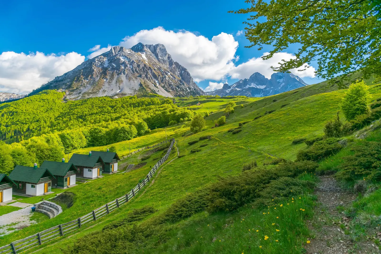
Cabins and managed grassland beneath Komovi. Buildings in a photograph are not automatically public accommodation, food service or toilets.
Katuns: seasonal work, not staged hospitality
A katun is a seasonal highland settlement connected to livestock grazing and household work. The park manager explicitly describes Kuči communities moving livestock into the mountains. The architecture, pasture boundaries and routes are part of the cultural landscape, but a visitor enters somebody else's working space.
Do not assume that a hut is open, that a family sells cheese, that a spring is potable or that camping beside a dwelling is welcome. Ask before entering an enclosure, photographing people at close range, filling water, buying food or placing a tent. Keep distance from dogs and livestock; do not feed either. If animals block a path, wait calmly or follow the owner's direction rather than forcing a route through the herd.
The national tourism organisation lists rural households around Komovi, including a Štavna-area katun, but a brochure is not a 2026 availability calendar. Contact a named, registered property directly and confirm the road, check-in, meals, payment, water and electricity. The Andrijevica guide provides a practical base comparison without pretending the town and high pasture have identical services.
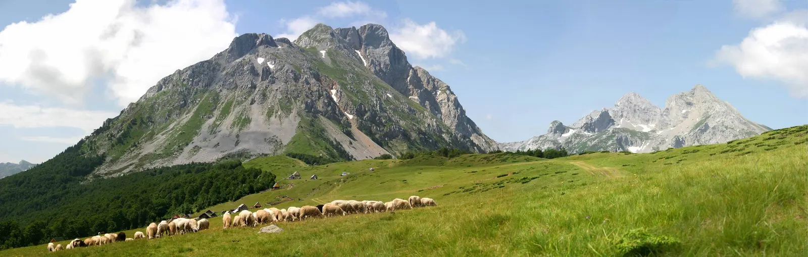
A flock traverses pasture below the massif. It illustrates working land, not a guaranteed encounter or permission to approach animals.
Summit times are planning scale, not promises
An official but old national hiking map gives full-tour estimates of five hours for Vasojevićki Kom, seven for Kučki Kom, six and a half for Ljevorečki Kom and six and a half for a circuit around the massif. It also lists 760–830 metres of ascent for the summit tours. These are useful only for comparing scale. They do not establish today's route, snow, rockfall, paint marks, group pace, parking point or safe turnaround.
The park manager says trails are marked, then directs visitors to its rangers, local mountaineering clubs and the Mountaineering Association for details. Use both parts of that advice. A marked route can be obscured by snow, fog, vegetation or damage. A visible mark does not remove exposure or guarantee that the next step suits your ability.
Choose Vasojevićki, Kučki or no summit
Vasojevićki Kom is the most common organised summit objective. The Mountaineering Association's 2026 calendar records a memorial event there on 7–9 August. That establishes active organised use, not independent safety after the event. Kučki Kom is the highest summit and the park manager specifically describes it as fragile and exposed. Ljevorečki demands its own route knowledge; a lower visitor count would not make it safer.
Do not rank the routes solely by published hours. Ask: Does the group have route-specific navigation, comfort on steep loose ground and enough reserve for the descent? Is rock dry? Is visibility stable? Is there lingering snow? Can everyone turn around without summit pressure? If any answer is uncertain, stay on a lower route. The general Montenegro hiking guide helps calibrate equipment and decision habits, but it cannot replace local conditions.
Go / no-go check before setting out
Check
Source
Route advice
Ranger or club
Competence
Every person
Conditions
Ground + forecast
All pass early
Proceed with turnaround
Any gap or delay
Choose the lower plan
Source: auzp.me, pscg.me
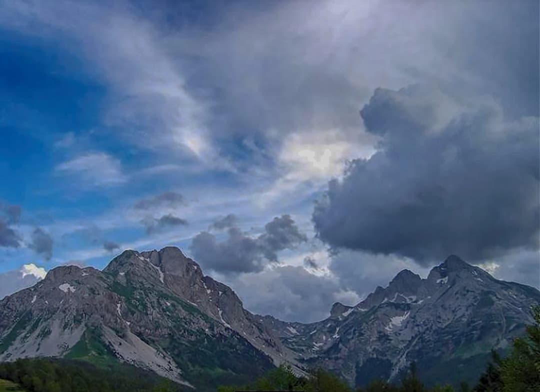
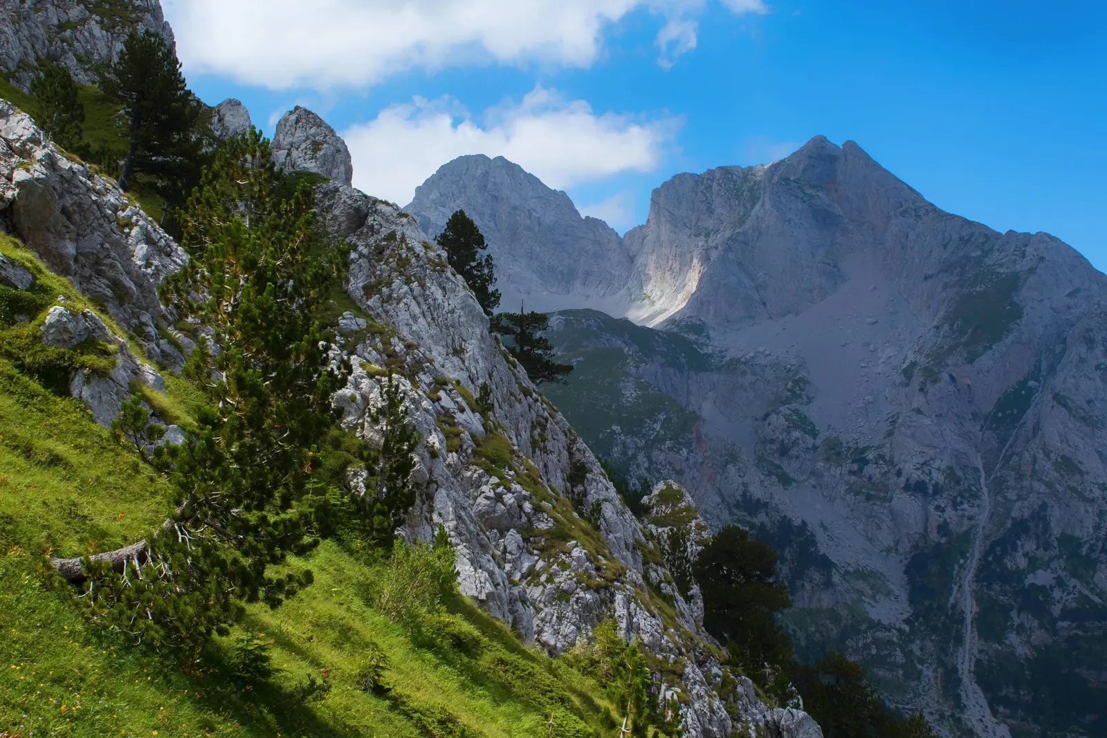
Steep rock and forest on Komovi. A distant photograph cannot classify a route, exposure, snow or rock stability.
Getting there: Trešnjevik evidence is dated, not timeless
The common northern approach uses the Andrijevica–Mateševo corridor over Trešnjevik before a local connection toward Štavna. Recent public works make old “normal car” claims especially unreliable. The government reported completion of a 3.2-kilometre adapted Trešnjevik section in November 2025. In April 2026 it published a public-interest proposal for adaptation of another three kilometres on R19. A July 2026 report said the 13-kilometre Štavna–Božići local section had been reconstructed.
Each fact is useful and limited. Completed road work does not prove that the entire route, final spur, verge or parking point suits a low-clearance vehicle today. A proposal does not prove an active closure. Before leaving, check current road information and ask the accommodation, park manager or local authority about the final approach. Do not continue because another car did; vehicle capability and recent weather differ.
The southern Kuči side is a separate plan, not an adventurous shortcut. The Kuči route guide supplies cultural and road context, but current surface, restrictions and onward continuity still require confirmation. If access uncertainty is high, use the north Montenegro planning guide to choose a robust base rather than compressing Komovi into a detour.
Trešnjevik road works: what is confirmed and what is not
Date
Works
Item
Caveat
Nov 2025
3.2 km adapted
Trešnjevik corridor
Completed section only
Apr 2026
Another 3 km
Public-interest proposal
Not a closure notice
Jul 2026
13 km reconstructed
Štavna–Božići report
No vehicle guarantee
Always
Check today's full route
Final spur
Weather and vehicle suitability
Source: gov.me
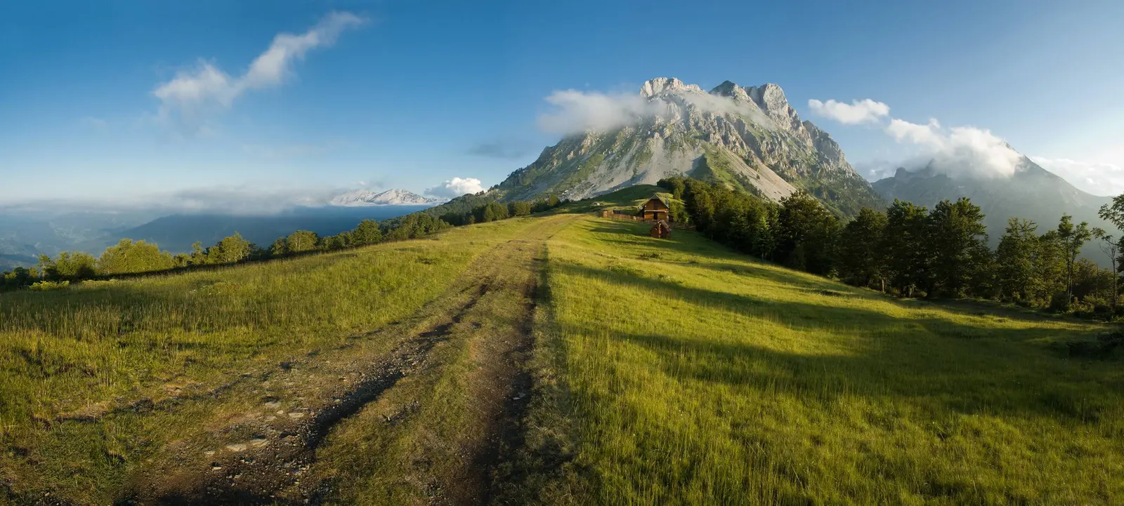
A track across high pasture toward Komovi. The image does not establish road status, public vehicle rights or current surface.
Weather, water, fire and emergency decisions
Use a mountain forecast for the relevant elevation and read wind, precipitation, freezing level, cloud base and lightning risk—not only the valley temperature. The Montenegro weather guide explains seasonal patterns, but a monthly average cannot clear a summit. Start with enough margin to descend before the forecast deteriorates, and turn around earlier when pace or visibility falls behind plan.
Carry all essential water and food unless a specific, tested supply is confirmed. A flowing spring can be seasonal, contaminated or inaccessible. Pack insulation and rain protection even on a warm valley day, plus navigation, headlamp, first aid, charged phone and offline coordinates. Tell someone the exact route and overdue action.
Do not light a campfire. Government guidance warns against open flames during high temperatures and drought, and current restrictions or park rules may be stricter. A stove or overnight stay also requires land, fire and accommodation permission; open meadow is not automatic camping space.
For a serious emergency, call 112. Give the massif, intended summit or katun, last known point, coordinates, group condition and weather. Montenegro's 112 system can coordinate search-and-rescue resources, but reception, aircraft availability and response time are never guaranteed. Preserve battery and remain in a safer visible location unless staying creates greater danger.
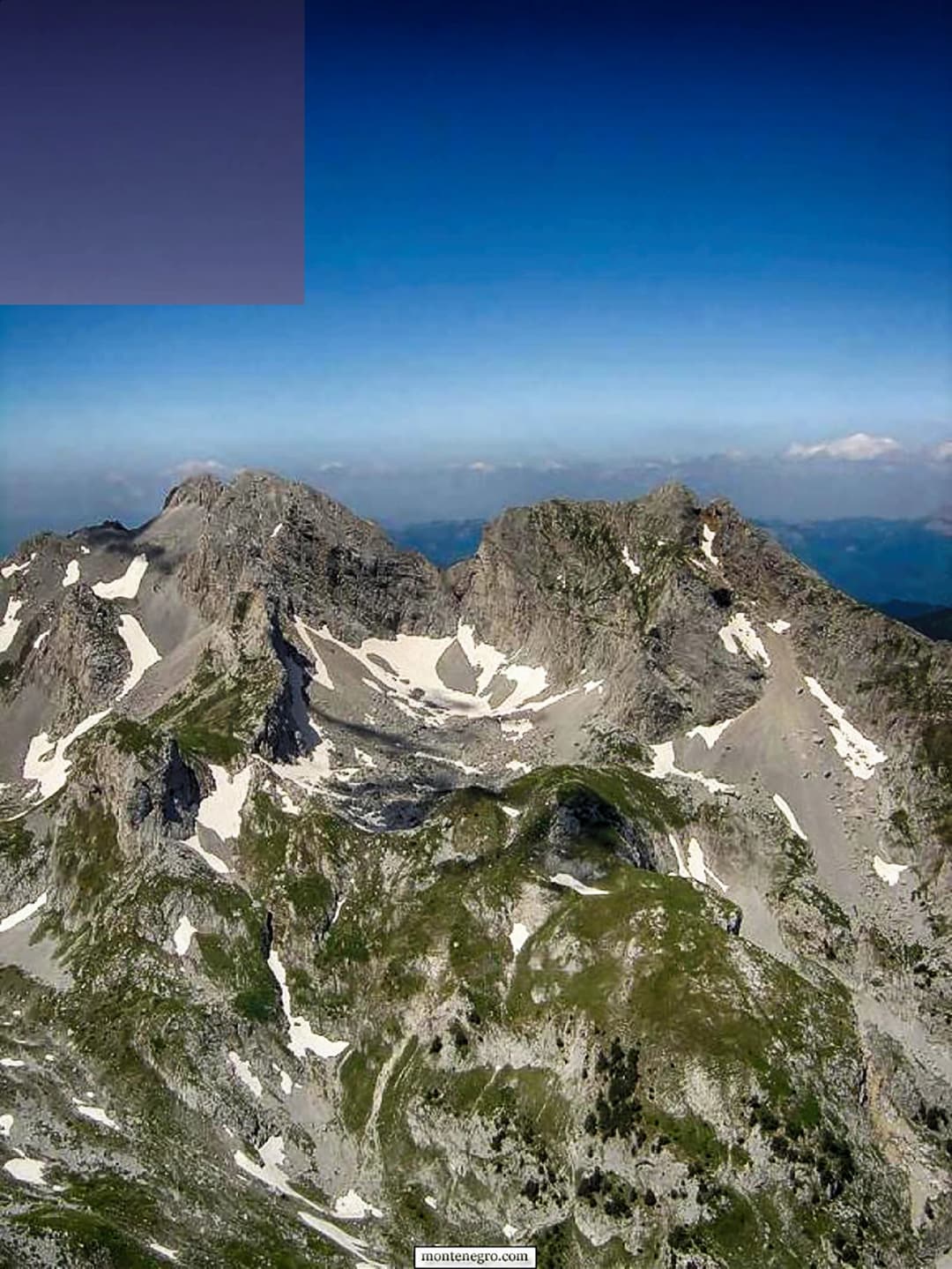
High open ground in the Komovi landscape. Wide views do not imply stable weather or easy navigation in cloud.
A conservative one-day sequence
Before departure: identify the park sector, confirm approach and parking, get ranger or club route advice, and read the mountain forecast.
At the base: compare ground, cloud, wind and group condition with the plan. Record the turnaround time before moving.
First hour: test pace and navigation while retreat remains easy. If marks, footing or weather are worse than expected, convert to a low walk.
At every decision point: ask whether the full descent remains within energy, water and daylight reserves. A summit is never required.
Near katuns: stay on the route, protect working access and ask before using any service or private space.
On return: close the route with your contact, carry out all waste and report any meaningful trail hazard to the relevant manager.
If you want a managed forest-and-lake alternative, compare the Biogradska Gora guide. It is a different protected area with different visitor infrastructure; it is not evidence that Komovi operates like a national park.
Quick answers
When is the best time to visit Komovi?+
The hiking season on Komovi runs from late June through September, with July and August being the most reliable months for good conditions. Snow covers the higher elevations from October through May, and significant snow patches can persist on north-facing slopes and in gullies well into July, particularly in heavy snow years.
The common northern approach uses the Andrijevica–Mateševo corridor over Trešnjevik before a local connection toward Štavna. Recent public works make old “normal car” claims especially unreliable. The government reported completion of a 3.2-kilometre adapted Trešnjevik section in November 2025.
On the mountain itself, food options are limited to whatever you carry and the basic provisions available at the Štavna mountain hut. The hut typically offers simple meals — soup, bread, cheese, grilled meats — during the hiking season, but selection and availability depend on the caretaker and the season.
At the Štavna trailhead, a basic mountain hut (planinarski dom) operates during the hiking season, offering dormitory-style accommodation and simple meals. Conditions are basic — bring a sleeping bag and be prepared for cold nights — but the location is perfect for early-morning summit attempts.