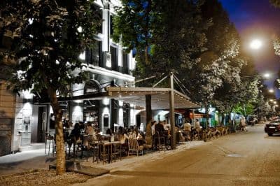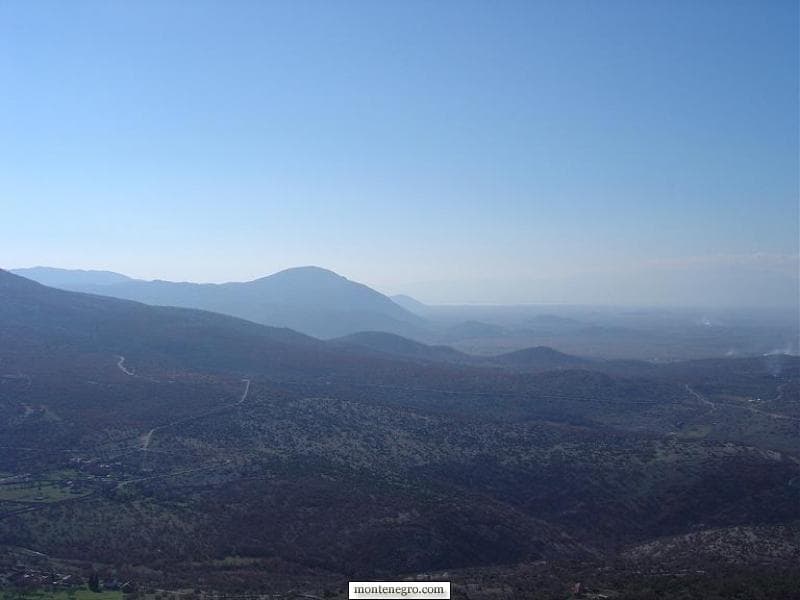
The old title “Through the Houses” is a translation error. Kroz Kuče means a journey through Kuči, the mountain region immediately northeast of Podgorica. Today the clearest visitor framework is the officially signposted Circuit around Korita: a 65-kilometre loop linking Medun, Kučka Korita, the Grlo Sokolovo walk, villages above the Cijevna canyon and Fundina. This guide turns a poetic legacy photo essay into a practical, historically grounded day trip.
Start with the correct geography
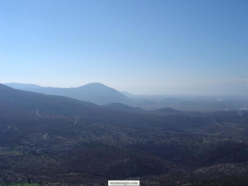
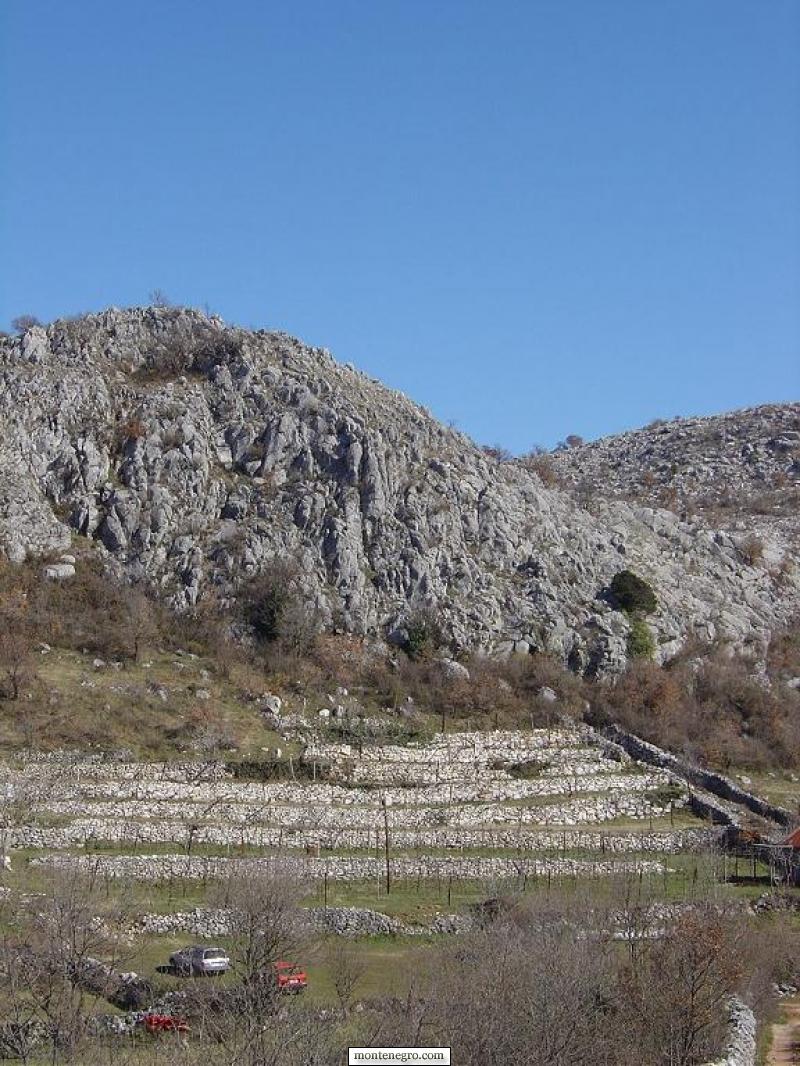
Kuči is not a village called “Houses.” It is a historic region and community whose settlements rise from the Podgorica plain toward high karst, pasture and the Albanian borderlands. Kučka Korita is the plateau stop around which the modern scenic route turns. The official brochure says its name refers to Kuči and the community's historic use of the area for pasture and farming.
What the sources say
The signed drive is called Krug oko Korita, or the Circuit around Korita. The National Tourism Organisation lists it as route 4, running Podgorica–Medun–Ubli–Kučka Korita–Zatrijebač–Fundina–Podgorica. It is a loop through a lived cultural landscape, not an access road to one observation deck.
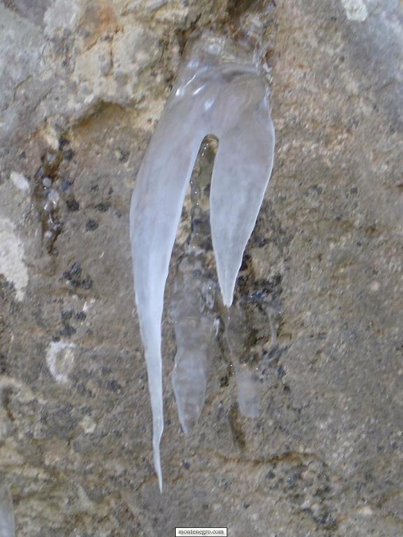
Use our Podgorica city guide to understand the capital below. The route's sudden rise is part of its interest: the urban basin can be hot and bright while shaded high ground remains cool, wet or icy.
The route in verified figures
| Measure | Value | Note |
|---|---|---|
| Signed road loop | 65 km | Allow a full day |
| Maximum elevation | 1,400 m | Mountain weather |
| Grlo Sokolovo walk | 4.8 km | ≥ 1.5 hours |
Source: montenegro.travel
| Stage | Why stop | Evidence | Decision before arrival |
|---|---|---|---|
| Podgorica departure | Fuel, water, offline map and weather check | Official guide says no fuel stations on the circuit | Vehicle, tank, driver and turnaround time |
| Medun | Ancient, later fortified and nineteenth-century layers | Tourism Organisation of Podgorica site and museum pages | Confirm museum access; allow walking time |
| Kučka Korita | High plateau and start for Grlo Sokolovo | Official route-4 guide | Reassess cloud, wind, heat and footwear |
| Grlo Sokolovo | Cijevna canyon viewpoint | 4.8 km; at least 1.5 hours in official brochure | Out-and-back for beginners if return circuit is unsuitable |
| Zatrijebač villages | Stone-walled fields, churches and borderland culture | Official route sequence | Respect homes, worship and private land |
| Fundina return | Spring landscape and descent toward the plain | Official route sequence | Preserve daylight and driving concentration |
Medun: three histories on one ridge
Medun lies about 12 kilometres northeast of Podgorica. The official destination account describes remains associated with ancient Meteon, founded around the end of the fourth or beginning of the third century BC; visible defensive masonry; later fortification; the Church of St Nicholas; and the birthplace and gravesite context of Marko Miljanov. These are distinct layers. Calling the entire visible complex “Illyrian” erases centuries of rebuilding and reuse.
Below the ridge, the Marko Miljanov Museum occupies the house identified as his birthplace. The official museum description says it opened in 1971 and holds photographs, clothing, weapons, jewellery, manuscripts, editions and a library of more than 6,000 books. Marko Miljanov matters not only as a warrior and statesman but as a writer associated with the ethical vocabulary of humanity and courage. Read the displays rather than reducing him to a roadside statue.
No current museum hours are frozen here. Event-day schedules and old listings are not enough to promise access. Check with Museums and Galleries of Podgorica or the tourism office before departure. Even if the building is closed, the archaeological landscape warrants a careful stop; do not climb unstable masonry or treat graves as picnic furniture.
Water explains the settlement pattern
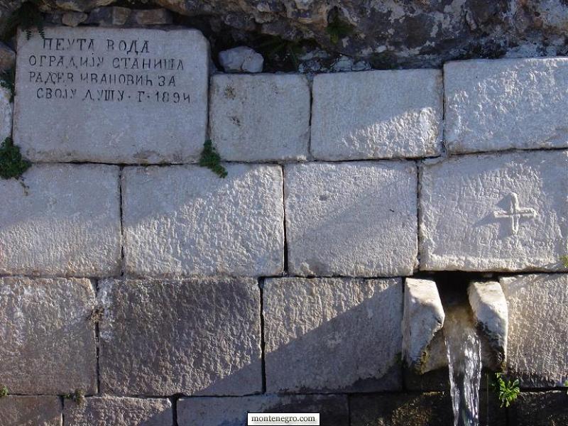
Karst can look dry while water emerges intensely at particular points. Springs, cisterns and troughs therefore carry more than scenic value: they shaped pasture, gardens, stopping places and social memory. The legacy photographer repeatedly noticed water, ice and stone. That instinct was right, although the old captions turned evidence into fantasy.
Never assume that a clear spring is safe to drink. Seasonal runoff, livestock and damaged infrastructure can contaminate water without changing its appearance. Carry a full day's supply from Podgorica. Do not wash in a village trough, block access, or step onto a fragile cover for a photograph.

Kučka Korita and the Grlo Sokolovo walk
The official map places Kučka Korita at roughly 1,300 metres, below Hum Orahovski. The road itself reaches about 1,400 metres. That elevation gap from Podgorica is why a pleasant morning in the capital cannot predict conditions above. The state route guide recommends May–October and says to obtain weather information outside that period; after winter, ice and snow can also damage pavement.
The Grlo Sokolovo trail is published as 4.8 kilometres and at least 1.5 hours. It crosses fields, meadows and beech woods to a viewpoint on the Cijevna canyon. The brochure calls the walk light, but adds that the second half of the loop is more demanding and beginners should return the same way. Treat that as a route-choice instruction, not a contradiction to ignore.
For broader trail preparation, footwear and emergency practice, consult our Montenegro hiking guide. Kuči should not be confused with the higher Komovi massif; a scenic day drive and a serious mountain itinerary require different equipment and planning.
The Cijevna is scenery and protected habitat
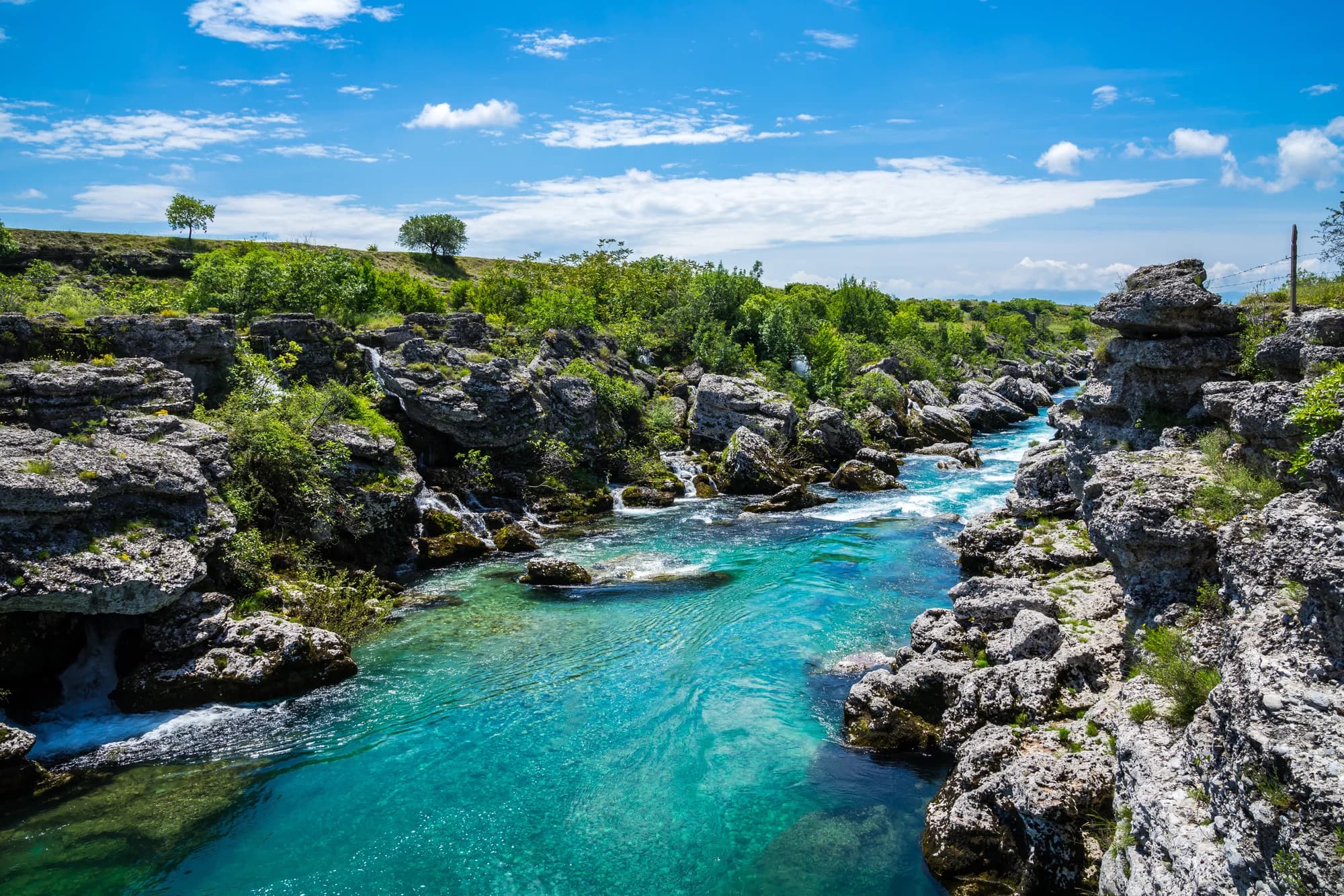
The viewpoint looks into a transboundary river landscape. A Government of Montenegro river-basin document records that the Cijevna canyon was proclaimed a Monument of Nature in 2017 and divided into protection zones. The same evidence discusses rare plant communities and pressures on the river system. That status should change visitor behaviour: stay on the route, carry waste out, avoid picking plants and do not launch a drone over wildlife or communities without checking law and permission.
Cliff-edge photographs flatten risk. A viewpoint may have no barrier, wind can disturb balance, and limestone edges can be undercut. Keep children physically close, step back while composing photographs, and never copy a social-media position merely because someone else stood there. The lower Cijevna and nearby Albanian-Montenegrin cultural context are introduced in our Tuzi guide.
Villages are not exhibits
After Korita, route 4 passes through Zatrijebač communities where Catholic and Orthodox landmarks, Albanian and Montenegrin place names, stone enclosures and agriculture share a small area. The official route rightly presents this as a landscape of different cultures and religions. Visitors should resist converting that complexity into a costume of “timeless mountain life.”
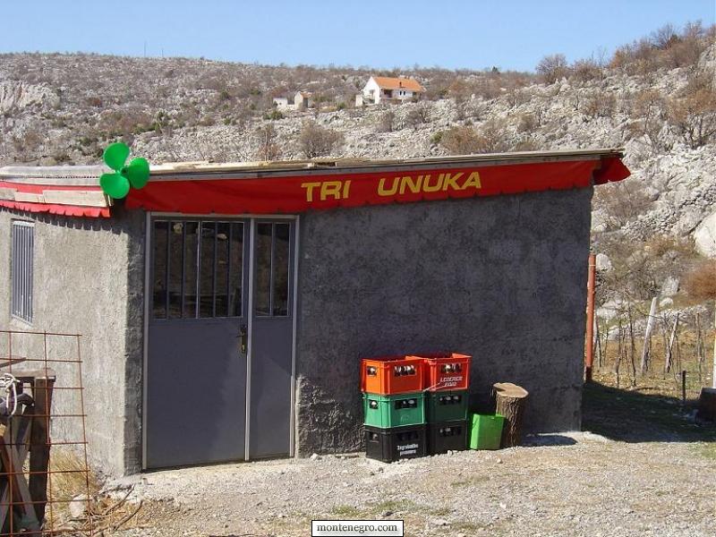
Park without blocking a gate or passing bay. Ask before photographing residents, homes, livestock, religious services or children. Buy food only where a business is clearly operating, and confirm price before ordering. A hand-painted sign is not evidence that a shop keeps predictable hours.
Driving conditions: paved is not easy
The official guide describes the whole base circuit as paved, yet also says much of it is narrow and winding and drivers may need to reverse or give way for oncoming traffic. It excludes large camper vans measuring seven metres or longer or 2.3 metres or wider, and advises that drivers of smaller campers should have narrow-road experience. Those measurements are route guidance, not a vehicle-clearance warranty.
Drive clockwise as recommended, following brown signs with route number 4, but carry the official map and offline navigation. Mobile coverage and signage can fail. Start with a full tank because the published route guide says there are no fuel stations on the circuit. Do not depend on an old named restaurant, card terminal or charging point; bring water and food sufficient to turn around.
Cloud, ice, wildfire, rockfall, roadworks or an event can invalidate a normal plan. Check the official hydrometeorological service and current road information on the morning of travel. If conditions conflict with the route, return to Podgorica. Montenegro's emergency number is 112, but lack of preparation is not an emergency service.
Practical day plan from Podgorica
Base yourself in the capital; our Podgorica accommodation guide explains districts and parking trade-offs. Leave with a full tank, offline map, water, food, sun protection, warm layer, rain shell and walking shoes. Confirm the museum separately. Tell someone your route if traveling alone.
Morning: reach Medun before the day becomes hot, separate the archaeological ridge from the museum collection, and avoid hurrying both. Midday: climb toward Korita, stopping only at safe pull-offs. Reassess cloud and wind before the Grlo Sokolovo walk. Afternoon: continue clockwise through Zatrijebač and Fundina only if the driver, weather and daylight remain comfortable. Evening: descend to Podgorica before fatigue compounds the narrow road.
Do not add Lake Skadar merely because it appears in the view. It deserves another day using our Lake Skadar and Virpazar guide. The quality of this route comes from reading one landscape at several scales, not collecting distant landmarks.
Frequently asked questions
Does “Kroz Kuče” mean “Through the Houses”?
No. In this context Kuče refers to the Kuči region and community northeast of Podgorica. “Through the Houses” was a false literal translation that erased the article's actual destination. The corrected title names Kuči and the modern Korita route.
How long does the Circuit around Korita take?
The official circuit is 65 kilometres, but the route guide says to allow a whole day for stops and detours. Add at least 1.5 hours if walking to Grlo Sokolovo. Mountain roads make average speed a poor planning measure.
Can I drive it in winter or early spring?
Official guidance recommends May through October and says to check weather outside that period. Snow, ice and post-winter surface damage are specific concerns. A clear Podgorica forecast does not prove that the high section is safe or open.
Is the Grlo Sokolovo trail easy?
The official brochure calls it light and gives 4.8 kilometres with at least 1.5 hours, but it also says the second half is more demanding and beginners should return the same way. Wind, heat, wet ground and exposure can change the experience.
Can a camper van use the road?
The official guide says the route is unsuitable for campers seven metres or longer or 2.3 metres or wider. Smaller-camper drivers should be experienced on narrow mountain roads. Check current restrictions and never treat those dimensions as guaranteed clearance.
.jpg&w=2048&q=75)