Hiking in Montenegro: 20 Best Trails from Coast to Mountains
Updated Originally published 29 min readby Pavle Obradović
20 routes from the Kotor fortress steps to Bobotov Kuk at 2,523 m, across five national parks and the Via Dinarica, with difficulty and season notes.
Montenegro is one of those rare countries where you can swim in the Adriatic before breakfast and summit a 2,500-meter peak by afternoon. Squeezed into just 13,812 square kilometers — roughly the size of Connecticut — this small Balkan nation packs an astonishing density of hiking terrain: five national parks, Europe's deepest canyon, its last primeval forests, peaks that touch 2,534 meters, and coastal trails that wind above some of the Mediterranean's clearest waters. Over 60 percent of the country is mountainous, and the Via Dinarica — the long-distance trail connecting the Dinaric Alps from Slovenia to Albania — passes through some of Montenegro's most dramatic landscapes.
Yet Montenegro remains one of Europe's most underrated hiking destinations. While the Dolomites, Swiss Alps, and Norwegian fjords attract millions of trekkers annually, Montenegro's trails are often empty even in peak season. You will find no ticket queues at trailheads, no reservation systems for mountain huts, and no overcrowded summit platforms. What you will find is raw, unmanicured wilderness; trails that sometimes challenge your route-finding skills; mountain shepherds who offer you rakija at 2,000 meters; and scenery that makes you question why you ever paid a premium to hike in Western Europe.
That long-distance artery deserves a closer look. The Via Dinarica's flagship White Trail runs some 1,260 kilometers along the spine of the Dinaric Alps from Slovenia to Albania — a 45-to-60-day undertaking end to end — and it saves its superlatives for Montenegro: the route's literal high point comes in Durmitor, where it crests above 2,500 meters near Bobotov Kuk, before winding toward the Prokletije, the borderland massif where the trail concludes. Several of the day hikes in this guide double as tasting portions of it.
1,260 km
the Via Dinarica White Trail from Slovenia to Albania — its literal high point crests above 2,500 m in Durmitor
This guide covers the 20 best trails in Montenegro, organized by region, with everything you need to plan each hike: difficulty, distance, elevation gain, estimated time, best months, and practical tips.
Essential Hiking Information
Before diving into the trails, some practical notes that apply across all regions.
Season: High-mountain trails (above 1,800 meters) are generally accessible from June through October, with July to September being the most reliable window. Snow can linger on north-facing slopes into late June, and early snowfall can arrive in October. Coastal and canyon trails are hikeable year-round, with spring (April-May) and autumn (September-November) offering the most pleasant temperatures.
Maps and Navigation: The single best resource for hiking in Montenegro is Mapy.com (renamed from Mapy.cz in 2025), a Czech mapping application that offers excellent free offline topographic maps with trail markings. It is significantly more detailed and accurate for the Balkans than Google Maps, AllTrails, or even Komoot. Download the Montenegro map before your trip and use it in offline mode. The app is available for both iOS and Android.
Trail Markings: Montenegrin trails are marked with red-and-white paint blazes on rocks and trees, following the standard European mountain trail marking system. Quality varies: well-maintained in Durmitor and Lovćen, less reliable in Prokletije and remote areas. Always carry a GPS-capable device with offline maps.
Mountain Rescue: Dial 112 for emergencies. Mountain rescue operations are coordinated by the Montenegrin Mountain Rescue Service (GSS), a volunteer organization that responds throughout the country. Response times can be long in remote areas.
Weather: Conditions above 2,000 meters can change with frightening speed. Clear mornings can become thunderstorms by early afternoon, especially in July and August. Always start early, carry a rain jacket and warm layer regardless of the forecast, and be prepared to turn back if clouds build.
Water: Carry at least 2 liters per person. Mountain springs exist along many trails but are not marked consistently. Treat or filter any spring, stream or lake water before drinking — no official source confirms it is safe untreated. On coastal trails, carry all the water you need.
National Park Entry: On the park service's current price list, Durmitor and Skadar Lake charge EUR 5 per person per day, Biogradska Gora EUR 4, and Lovćen and Prokletije EUR 3. Keep your ticket; random checks occur.
Read the landscape first
Four mountain systems, four different hiking trips
Similar summit heights conceal very different terrain. The bars compare each system’s high point; the field notes explain what that changes for the traveller.
2,534 mProkletije
2,523 mDurmitor
2,139 mBjelasica
1,749 mLovćen
01 · exposed border peaks
Prokletije
Sharp limestone, remote valleys and separate Plav/Gusinje access decisions.
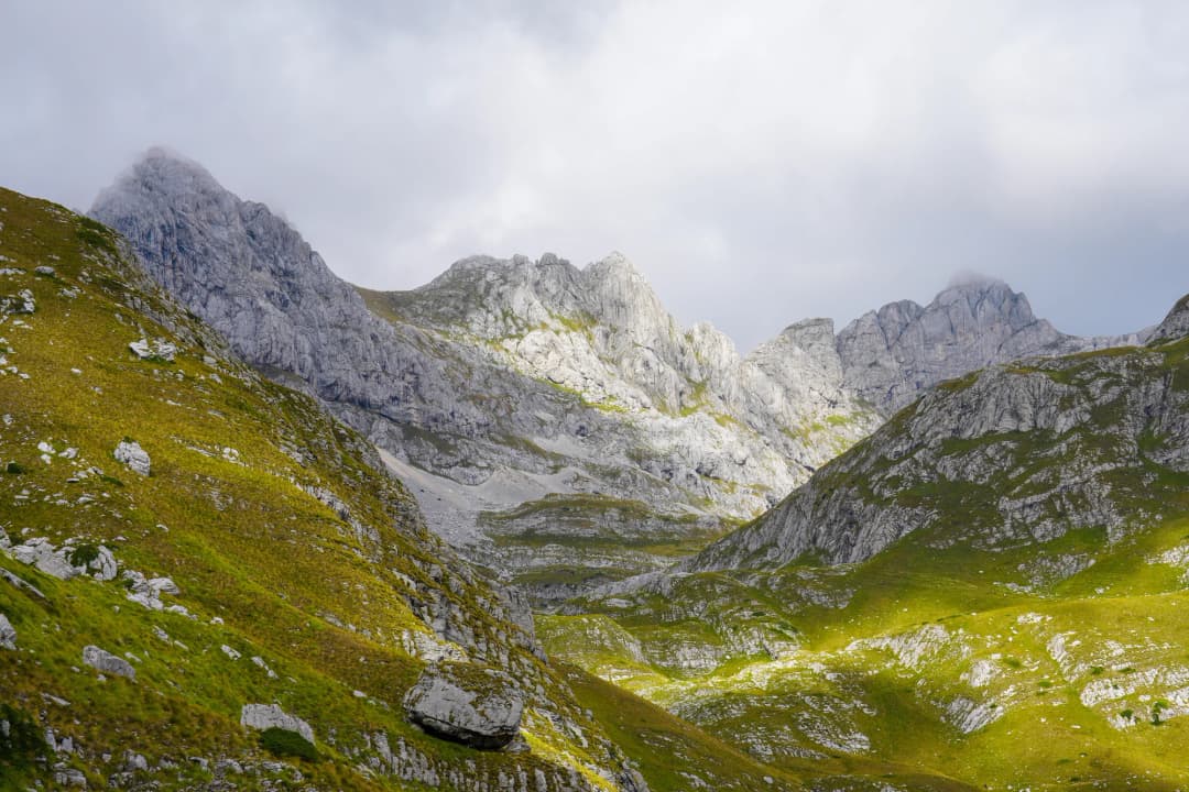
Durmitor is Montenegro's hiking crown jewel — a UNESCO World Heritage Site encompassing 390 square kilometers of limestone peaks, 18 glacial lakes (known locally as "mountain eyes"), dense pine forests, and alpine meadows. The park contains 48 peaks exceeding 2,000 meters, and its terrain ranges from gentle lakeside paths to serious alpine scrambles.
The landscape reads like a textbook of ice and water. UNESCO, which inscribed Durmitor in 1980, credits Ice Age glaciers with carving the massif's cirques and lake basins, while rivers and underground streams have dissected the limestone from below — a collision of glacial and karst forces that produced both the "mountain eyes" and the Tara gorge on the park's northern rim.
The park's base is Žabljak, a small mountain town at 1,456 meters elevation — the highest town in the Balkans. From Žabljak, all trailheads are accessible within 30 minutes by car.
The low-effort, high-reward introduction to Durmitor: twin glacial lakes, old forest and a mountain reflection within minutes of the entrance.
families
photographers
first-day walkers
Trail snapshot
DifficultyEasy
Distance3.6 km
Elevation GainMinimal (flat circuit)
Time1 hour
Best MonthsYear-round (snow possible November-March, but path is usually passable)
WaterAvailable at park entrance; do not drink the lake water
Your taste match
If you love
Lake Bled
Lake Braies
Emerald Lake
Choose it for the same easy-access alpine-water drama, but with a quieter, less manicured edge.
Open the full place fileaccess · origins · nearby · source check
Lake level
1,422 m
Deepest point
49.1 m
Nearest base
Žabljak · 3 km
Getting there
Walk, taxi or drive from Žabljak to the national-park entrance; the shoreline circuit is pedestrian and mostly level.
How this place formed
A glacial lake split into Veliko and Malo Jezero by a narrow natural strip called the struga. Meltwater and precipitation drive its seasonal shape.
Build a cluster around it
Žabljak, Barno Lake, Zminje Lake and the trail network toward Lokvice and the Ice Cave.
Reality check
Do not drink untreated lake water. Refill at established facilities or filter/purify natural water; winter ice and snow change the character of the easy summer circuit.
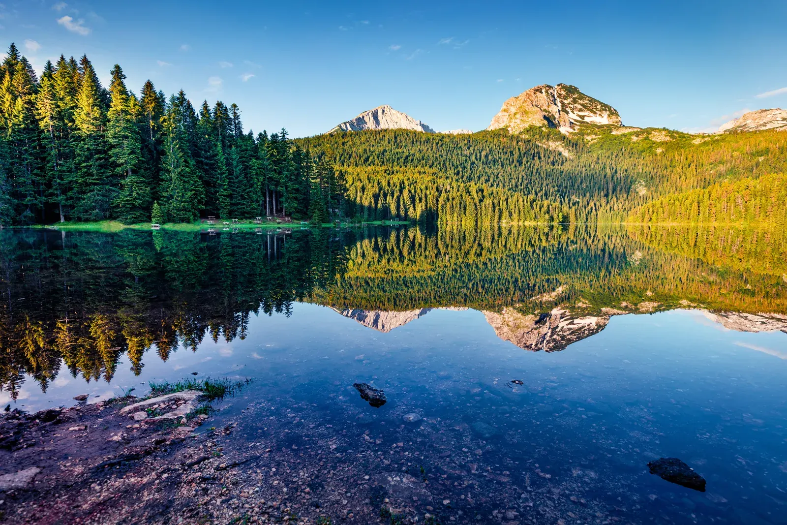
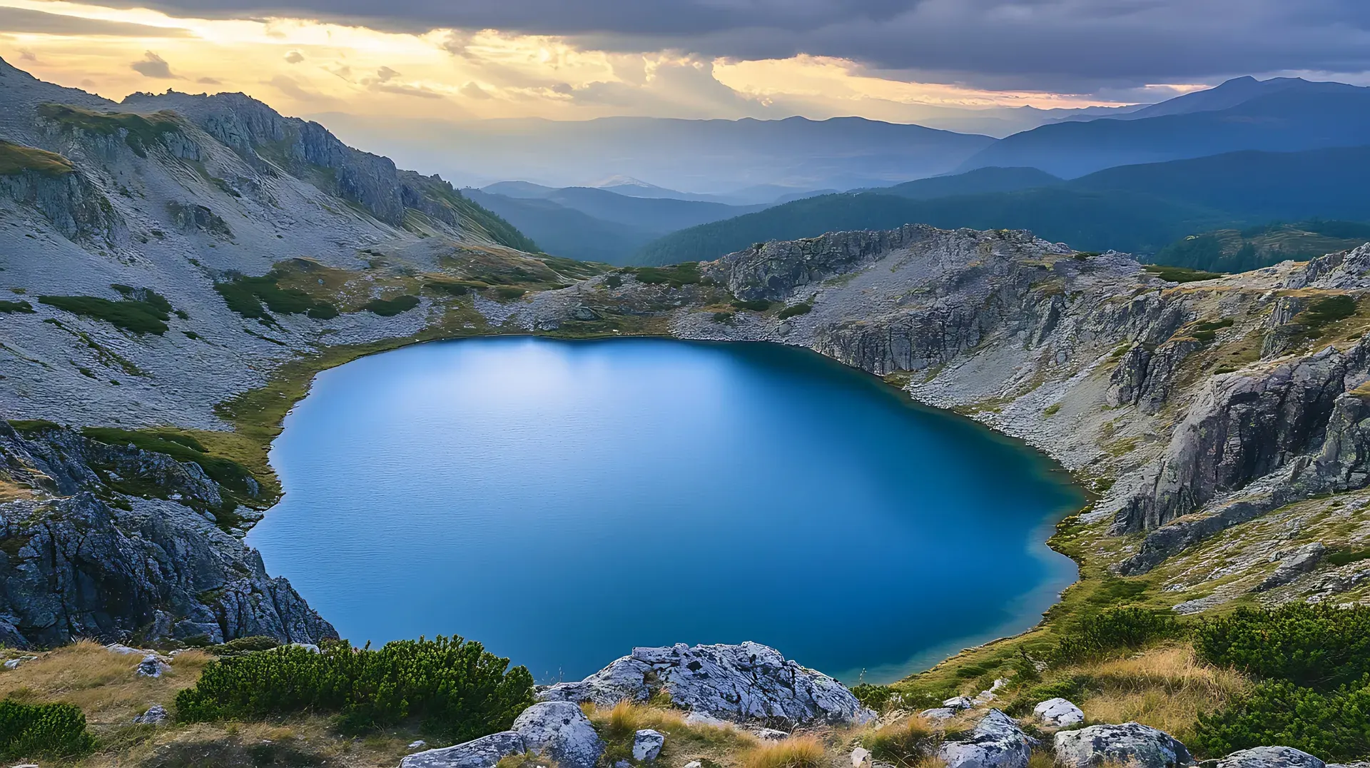
This is the most accessible and most popular trail in Durmitor, and despite its ease, it delivers a profound beauty. Black Lake is actually two connected lakes — Veliko Jezero (the larger) and Malo Jezero (the smaller) — separated by a narrow natural dam. The emerald-to-black water (depending on depth and cloud cover) sits in a glacial cirque beneath the imposing face of Meded peak (2,287m), which reflects perfectly in the lake on calm mornings.
The trail begins at the national park entrance (EUR 5 entry), 3 kilometers from Žabljak. A flat, well-maintained gravel path circles the lake through dense pine and spruce forest. Walking counterclockwise gives you the best views early, with Meded's reflection appearing within the first 15 minutes.
Tip: Arrive before 9:00 AM for mirror-still reflections and no crowds. The lake is also spectacular in autumn when the surrounding beeches turn gold, and in winter when ice covers parts of the surface.
Durmitor’s signature summit day: alpine meadows give way to limestone, scree and an exposed final scramble above the massif.
summit collectors
strong hikers
big-view seekers
Trail snapshot
DifficultyHard
Distance12 km round trip
Elevation Gain+1,300 m
Time6-7 hours
Best MonthsJuly-September
WaterNo reliable sources on trail; carry 3 liters
Your taste match
If you love
Triglav
Mount Olympus
Rysy
A natural fit if you enjoy famous European non-technical summits where stamina, weather judgment and comfort with exposure matter.
Open the full place fileaccess · origins · nearby · source check
Summit
2,523–2,525 m
Classic start
Sedlo pass
Nearest base
Žabljak
Getting there
Drive the narrow paved Durmitor Ring road from Žabljak to Sedlo; continue on foot via Zeleni Vir. Allow extra road time in summer and never assume the high road is open in snow.
How this place formed
Durmitor is a deeply karstified limestone massif reshaped by Quaternary glaciers; the summit route crosses both glacial basins and sharp carbonate relief.
Build a cluster around it
Sedlo, Zeleni Vir, Šareni Pasovi and the connected high-route network toward Škrka.
Reality check
Official Montenegrin sources publish slightly different summit heights. Treat thunderstorms, lingering snow and the exposed final section—not the mileage—as the decisive hazards.
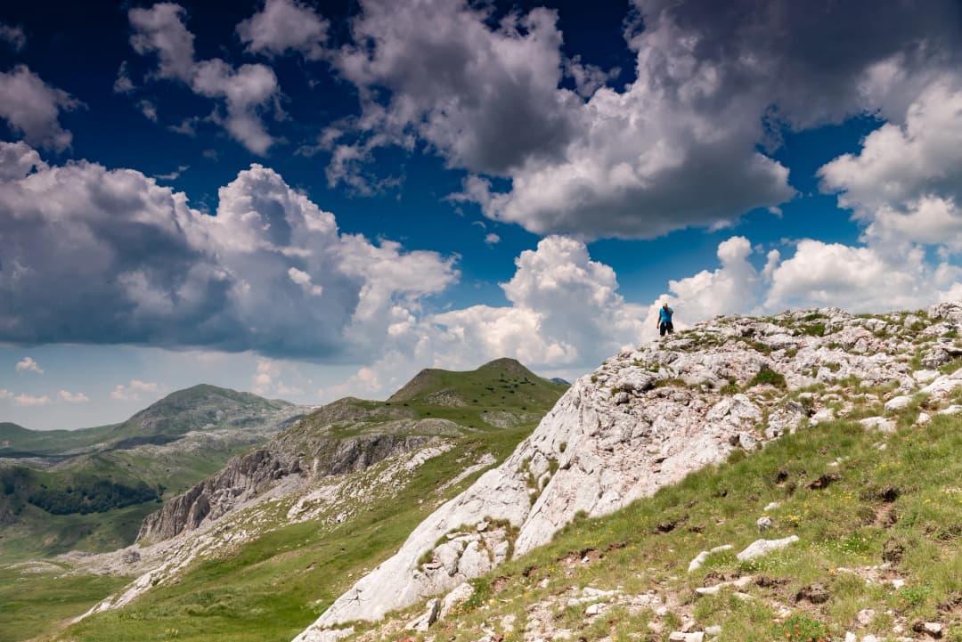
Bobotov Kuk, at 2,523 meters (some sources say 2,522m), is the highest peak in the Durmitor massif and one of the most sought-after summits in the Balkans. While not technically the highest point in Montenegro (that distinction belongs to Zla Kolata in Prokletije at 2,534m), Bobotov Kuk is the most iconic and most climbed major peak.
The standard route begins at Sedlo pass (1,907m), reached by a paved road from Žabljak. From Sedlo, the trail climbs steadily through alpine meadows, then steepens through a rocky landscape of karst formations and scree fields. The final approach to the summit involves some easy scrambling over exposed rock — nothing requiring ropes or technical equipment, but a head for heights is necessary.
The summit panorama is staggering: on clear days, you can see the Adriatic Sea to the southwest, the Albanian peaks to the southeast, and the full sweep of the Durmitor massif spread below. The Tara Canyon cuts a dark gash through the landscape to the north.
Tips: Start by 7:00 AM to avoid afternoon thunderstorms, which are common and dangerous on exposed ridges. Bring warm layers — temperatures at the summit can be 15 degrees Celsius cooler than Žabljak. The trail is well-marked with cairns and red-white blazes throughout.
A mountain objective rather than a casual cave visit: the permanent ice lies at the end of a substantial high-karst approach.
geology enthusiasts
experienced hikers
unusual-landscape hunters
Trail snapshot
DifficultyModerate
Distance13.1 km round trip (6.55 km each way)
Elevation Gain+760 m (1,425–2,185 m)
TimeAt least 6 hours (3+ hours each way)
Best MonthsJune-October
WaterSprings near cave; carry 2 liters
Route-data noteOriginal route figures are not valid for a Sedlo start; use the park-listed Black Lake route and confirm current conditions.
Your taste match
If you love
Dachstein Ice Cave
Eisriesenwelt
Dobšiná Ice Cave
The appeal is the same summer-meets-ice contradiction, but here the approach itself is a serious part of the experience.
Open the full place fileaccess · origins · nearby · source check
Landform
Karst ice cave
Official start
Crno Jezero
Access
Foot only
Getting there
The park’s published itinerary starts at Black Lake and runs through Stari Katun/Lokvice—not from Sedlo. Confirm current markings and snow conditions at the visitor centre.
How this place formed
Cold-air trapping in a high limestone cavity helps ice persist after surrounding snow has melted; the approach crosses classic sinkhole and cirque terrain.
Build a cluster around it
Black Lake, Lokvice katun, Velika Kalica and routes toward Međed and Bobotov Kuk.
Reality check
The original article’s short Sedlo-based description is not the park’s listed route. A dark, icy descent can require more than a headlamp; do not enter beyond your equipment and experience.
One of Durmitor's most unusual attractions, the Ice Cave maintains freezing temperatures and ice formations year-round, even when summer heat bakes the surrounding landscape. The cave sits at approximately 2,160 meters elevation in a karst sinkhole.
The marked trail begins at Black Lake and climbs via katun Lokvice to the cave: 6.55 km each way, allowing at least 3 hours each way (Žabljak Tourism route page).
Entry to the cave has been prohibited since August 2026: barriers went up on 22 August to protect the ice and its microclimate, so the walk now ends at the barrier (National Parks of Montenegro). Do not cross the barrier or climb down into the cave.
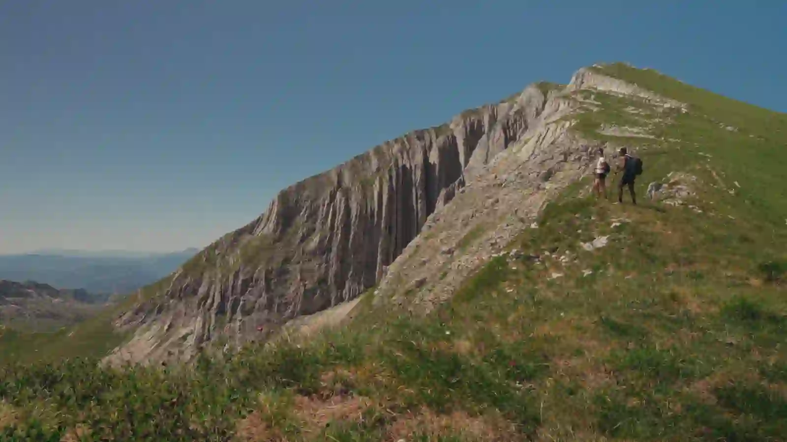
A sculptural mountain of vertical limestone “rods,” with a grassy summit plateau and Durmitor’s most revealing view into the Škrka basin.
ridge walkers
geology lovers
return Durmitor visitors
Trail snapshot
DifficultyModerate-Hard
Distance10 km round trip
Elevation Gain+700 m
Time5 hours
Best MonthsJuly-September
WaterNo reliable sources; carry 2.5 liters
Route-data noteDistance and ascent change by trailhead. Select Todorov Do or Dobri Do before using route figures.
Your taste match
If you love
Seceda
High Tatras ridges
Picos de Europa
Come for corrugated limestone architecture and close-range peak drama rather than a single trophy summit.
Open the full place fileaccess · origins · nearby · source check
Summit
2,393 m
Short approach
Todorov Do
Nearest base
Žabljak
Getting there
Reach Todorov Do or Dobri Do by the Durmitor Ring road, then hike. The official network connects Dobri Do, Škrčko Ždrijelo, Prutaš and the lakes.
How this place formed
Erosion along near-vertical limestone beds created the peak’s bundled-rod appearance—prut means a rod or twig—and its unmistakable western face.
Build a cluster around it
Todorov Do, Škrčko Ždrijelo, Veliko and Malo Škrčko Jezero and the Dobri Do basin.
Reality check
Sedlo is a road landmark, not the clearest description of the standard Prutaš trailhead. Choose the exact route before comparing distance and ascent figures.
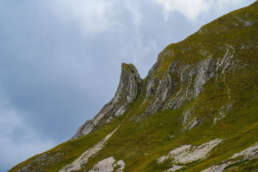
Prutaš (2,393m) offers what many experienced hikers consider the finest ridge walk in Durmitor. The established approaches from Todorov Do or Dobri Do reach the high ridgeline with dramatic drop-offs on both sides, giving uninterrupted views of the Škrčka Lakes below and the full Durmitor massif around you.
The route is less crowded than Bobotov Kuk but equally rewarding. The ridge sections require confidence on exposed terrain, though the path is not technically difficult. On clear days, the views of the two Škrčka Lakes — glacial pools of impossible blue sitting in barren rock basins — are among the most arresting sights in Montenegro.
Durmitor’s remote inner sanctuary: two glacial lakes, a bare limestone amphitheatre and the simple Škrka hut reachable only on foot.
remote-lake hikers
overnight trekkers
landscape photographers
Trail snapshot
DifficultyHard
Distance14 km round trip
Elevation Gain+800 m / -600 m (with significant re-ascent)
Time7 hours
Best MonthsJuly-September
WaterCarry enough water (2 liters for ascent); treat or filter lake water before drinking
Your taste match
If you love
Seven Rila Lakes
Lac Blanc
Laghi di Sopranes
If high lakes feel most rewarding after a real approach—and you prefer shelter to resort infrastructure—Škrka is your landscape.
Open the full place fileaccess · origins · nearby · source check
Veliko lake
1,700 m · 17.2 m deep
Malo lake
1,730 m · 15.2 m deep
Hut
Between both lakes
Getting there
Foot only. The official routes approach from Dobri Do through Škrčko Ždrijelo, with alternatives through Prutaš or the wider Durmitor network. Žabljak is the practical supply base.
How this place formed
Glaciers excavated the Škrka cirque and left moraine material that helps contain the lakes. Snowmelt and precipitation drive water levels in this high carbonate basin.
Build a cluster around it
Planinica, Prutaš, Škrčko Ždrijelo, Sušica Canyon and the connecting route toward Bobotov Kuk.
Reality check
Škrka is a basic mountain shelter, not a serviced Alpine hotel: verify opening, beds and water locally, carry purification, food and a self-rescue margin.
This is arguably the most beautiful hike in Durmitor, reaching a chain of glacial lakes set in a remote, high-altitude basin that few visitors penetrate. The trail from Sedlo descends into the Škrčka valley, passing the larger Veliko Škrčko Jezero and continuing to the smaller Malo Škrčko Jezero. A basic mountain hut (Škrčka Jezera hut) near the larger lake provides rudimentary shelter for those who want to extend this into an overnight trek.
The terrain is entirely above treeline, a stark landscape of grey limestone and crystalline water. The descent into the lake basin involves some steep, rocky sections. Allow plenty of time for the return — the re-ascent from the lakes back to the ridgeline is the most physically demanding part.
Tip: Bring enough food and supplies for a full day. There is no place to buy provisions once you leave Sedlo, and the remoteness of the lakes means help is far away if conditions change.
Prokletije (Accursed Mountains)
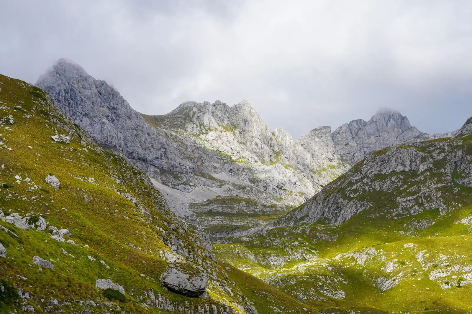
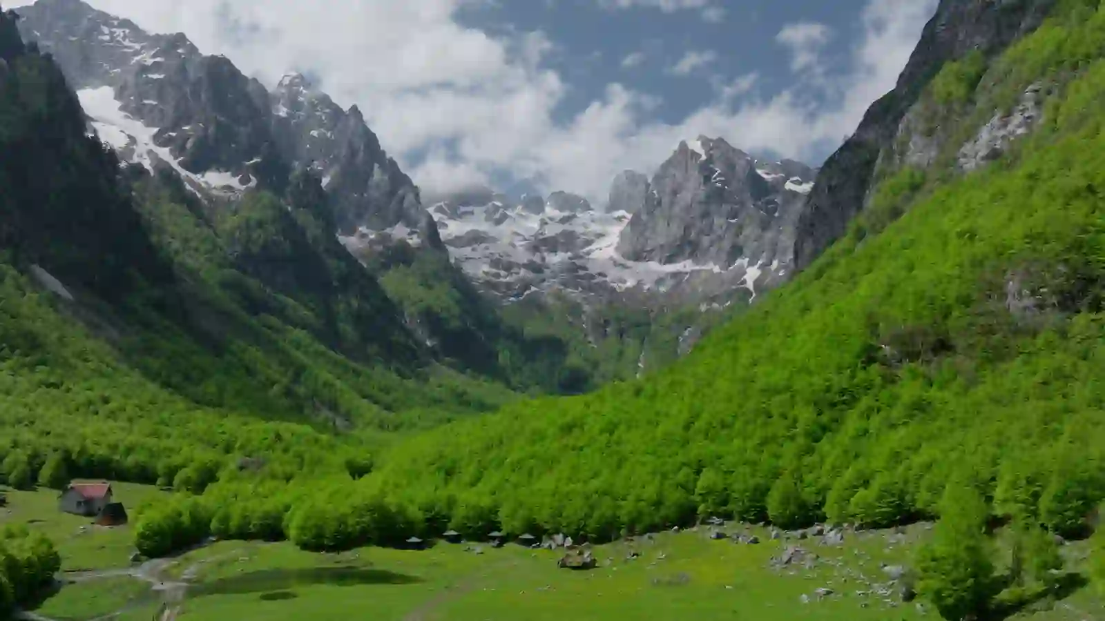
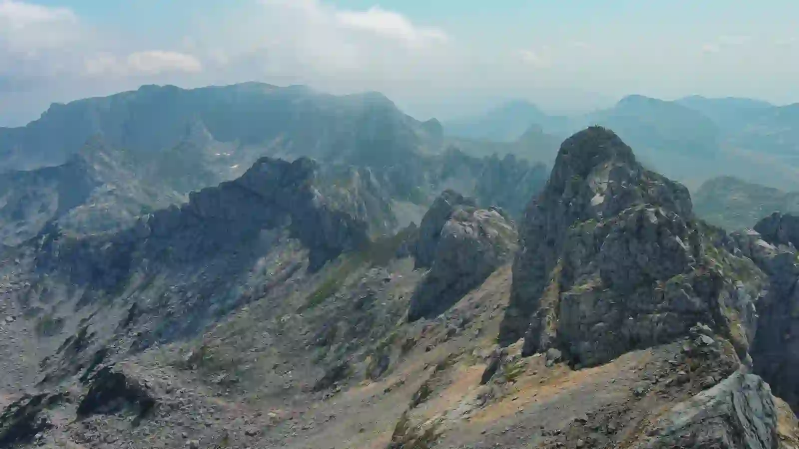
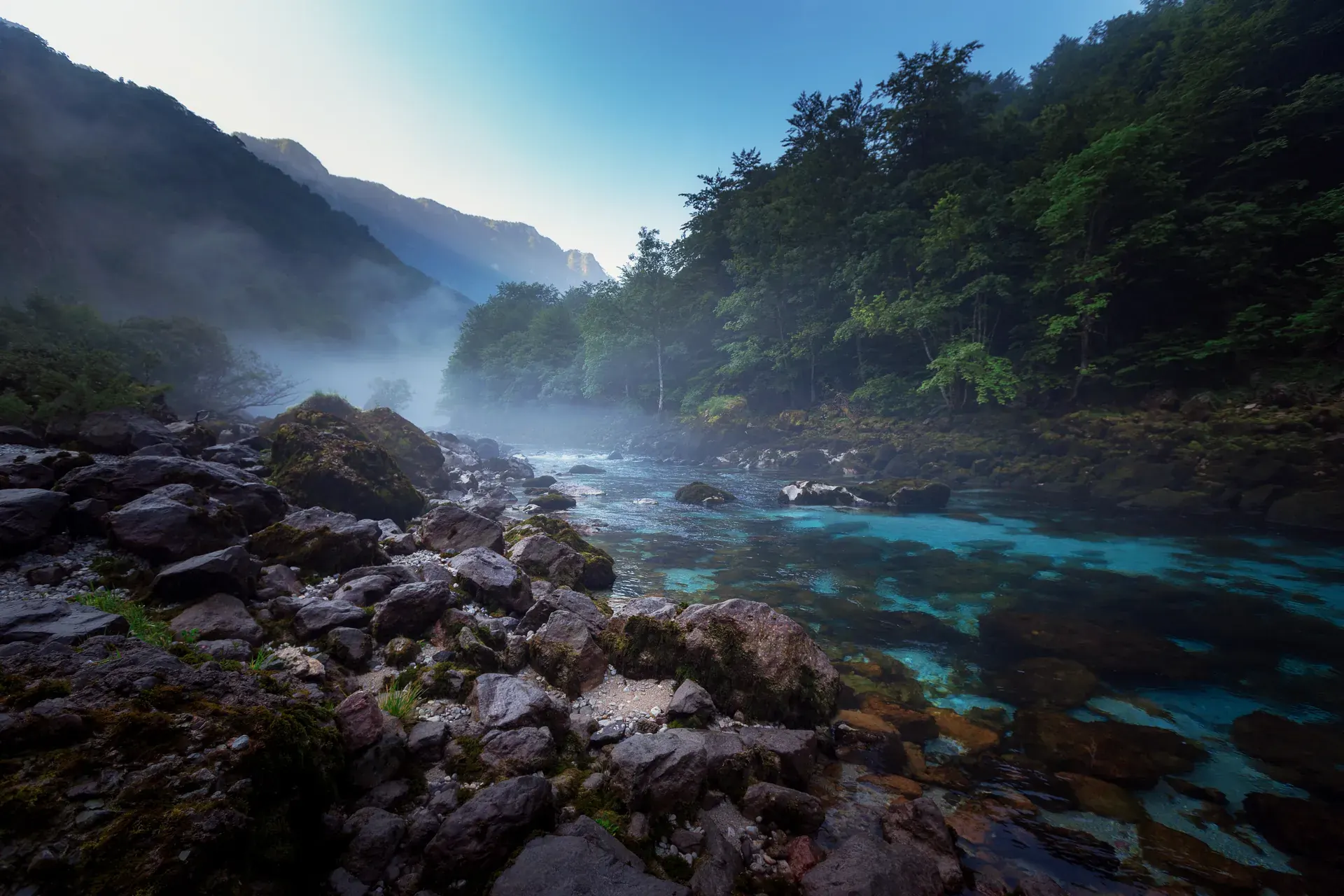
The Prokletije range, shared between Montenegro, Albania, and Kosovo, is the wildest and most dramatic mountain area in the Balkans. The Montenegrin portion, centered around the towns of Plav and Gusinje, was designated a national park in 2009. These are serious mountains — jagged limestone peaks, deep-cut valleys, glacial lakes, and a genuine sense of remoteness that Durmitor, with its paved access roads, cannot match.
Montenegro’s national high point is a long, wild border summit where route-finding and weather judgment count as much as fitness.
country high-pointers
experienced scramblers
guided alpine days
Trail snapshot
DifficultyHard
Distance14 km round trip
Elevation Gain+1,400 m
Time8 hours
Best MonthsJuly-August
WaterSprings in lower sections; carry 3 liters
Your taste match
If you love
Triglav
Maja Jezercë
Mount Olympus
It suits hikers who value a nationally significant summit with a remote, less engineered approach.
Open the full place fileaccess · origins · nearby · source check
Summit
2,534 m
Gateway
Vusanje / Gusinje
Position
Albanian border
Getting there
Road access ends around Vusanje; the summit is reached on foot. Ask the Prokletije visitor centre about current trail, guide and border-document requirements.
How this place formed
The sharp relief belongs to the southern Dinaric karst, cut by glacial cirques and deep valleys at the meeting point of Montenegro and Albania.
Build a cluster around it
Ropojana Valley, Ali Pasha Springs, Grlja Canyon and the neighbouring Dobra Kolata and Rosni Vrh summits.
Reality check
Do not rely on an old fixed guide price or assumptions about border procedure. Carry identification and verify conditions locally before committing.
Zla Kolata (2,534m) is officially the highest peak in Montenegro, though it sits on the Albanian border and has long been overshadowed by the more accessible Bobotov Kuk. The ascent from the village of Vusanje is long and physically demanding, passing through dense forest before emerging into exposed alpine terrain. The final summit approach involves scrambling on loose rock.
A local guide is strongly recommended — the trail markings are inconsistent in the upper sections, the Albanian border area has historically been sensitive (though now safe), and weather on these peaks is even more unpredictable than in Durmitor. Contact the Prokletije National Park office in Gusinje for guide recommendations (approximately EUR 60 to 80 for a full-day guided climb).
The summit views into both Montenegro and Albania are extraordinary, encompassing the full sweep of the Accursed Mountains and, on clear days, the shimmer of Lake Skadar far to the south.
A forest-to-alpine journey ending at the “Lake of Happiness,” one of Prokletije’s highest and most storied bodies of water.
lake collectors
folklore lovers
quiet-forest hikers
Trail snapshot
DifficultyEasy (park-listed route)
Distance3.1 km one way (linear)
TimeAbout 1 hour one way
Best MonthsJune-September
WaterCarry water; treat natural sources
Route-data noteSnapshot replaced with the park-listed Babino Polje route: 3.1 km, easy and about one hour one way.
Your taste match
If you love
Lake Oeschinen
Morskie Oko
Seven Rila Lakes
The reward is a famous-lake feeling without the cable cars, crowds or polished promenade.
Open the full place fileaccess · origins · nearby · source check
Lake level
1,970 m
Maximum depth
5.1 m
Official approach
Babino Polje
Getting there
Use Plav as the regional base, but the park’s named hiking route begins at Babino Polje and continues via Bajrovića katun to the lake.
How this place formed
A small fishless glacial lake between Mali and Veliki Hrid. Local tradition calls it the Lake of Happiness and associates bathing with health and good fortune.
Build a cluster around it
Babino Polje, Bajrovića katun, Bjelaja and the Bogićevica highlands.
Reality check
“Plav Lake to Hridsko Lake” is too vague to navigate as written. Select an official approach, verify the return plan and never assume lake or stream water is safe untreated.
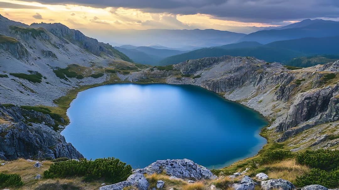
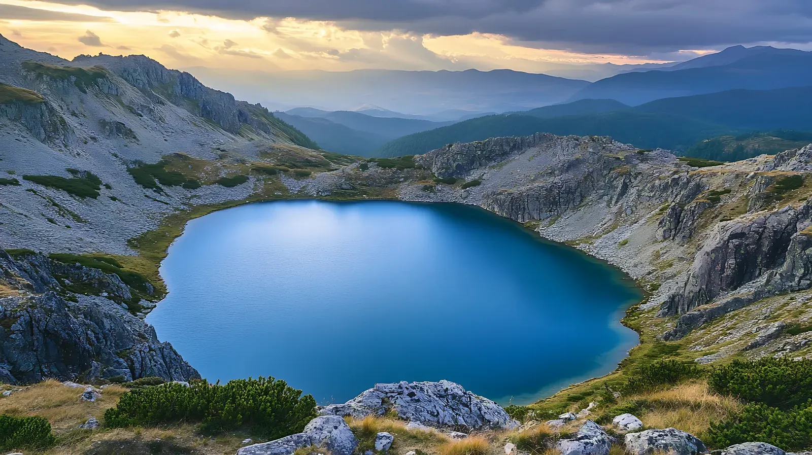
Hridsko Lake (Hridsko Jezero), a glacial lake sitting at 1,970 meters in a dramatic cirque, is one of the most beautiful alpine lakes in the Balkans. The park-listed approach from Babino Polje climbs steadily through beech and then conifer forest before breaking into open meadows and finally the rocky basin holding the lake.
The lake is deep, cold, and an almost supernatural shade of blue-green. A flat area beside the lake provides an excellent camping spot for those who want to spend the night (wild camping is tolerated in Prokletije, though not officially permitted). Swimming is possible for the brave — water temperatures rarely exceed 12 degrees Celsius even in August.
This gentler walk through the Ropojana Valley, starting from the village of Vusanje, provides an accessible introduction to the Prokletije landscape without the high-altitude demands of the peak ascents. The trail follows a river valley between towering limestone walls, passing through traditional mountain pastures where shepherds still bring flocks in summer.
The valley is a gateway to the Albanian Alps, and the trail eventually approaches the border. The scenery — lush green meadows beneath grey rock towers — has an almost Tolkien-esque quality. Several traditional katuns (seasonal shepherding settlements) along the route offer a glimpse of a pastoral way of life that has barely changed in centuries.
Bjelasica Range
Bjelasica is a gentler mountain range than Durmitor or Prokletije, with rolling summits, dense forests, and one of Europe's truly special protected areas: Biogradska Gora, a primeval forest that has been protected since 1878.
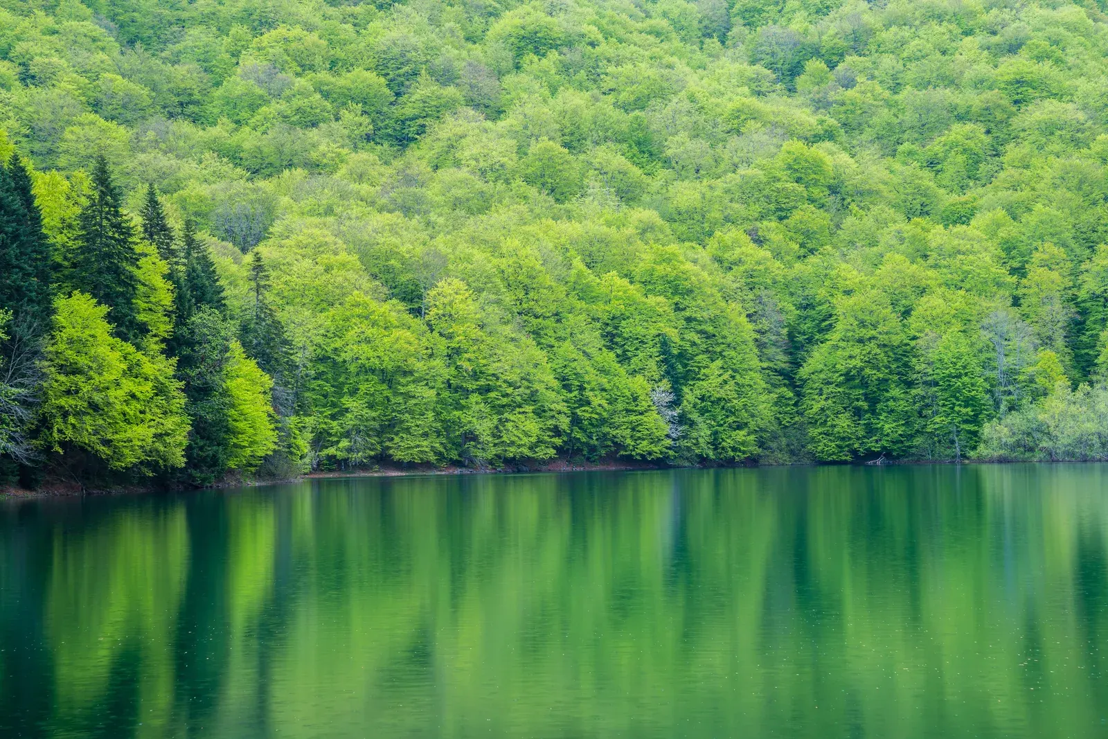
Biogradska Gora National Park contains one of the last three primeval forests in Europe — a virgin woodland with 86 tree species, some over 500 years old, that has never been logged. Biogradsko Lake sits at its heart, a glacial lake of serene beauty surrounded by forest that looks exactly as it did before human civilization.
The lake circuit trail is flat, well-maintained, and suitable for all fitness levels. What makes it special is not the physical challenge but the overwhelming sense of entering a forest untouched by human hands. Trees reach enormous sizes, fallen trunks decompose over decades feeding new growth, and the biodiversity is remarkable — over 220 plant species, 150 bird species, and numerous mammals including bears, wolves, and deer.
National park entry is EUR 4. The park entrance is approximately 4 kilometers from the town of Kolašin.
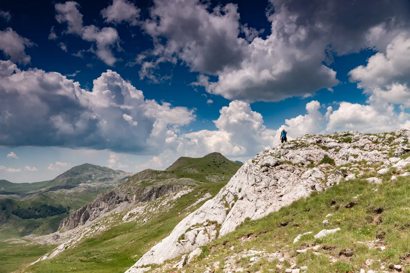
A rolling, green counterpoint to Durmitor: long sightlines, glacial bowls and katun country rather than continuous rock and exposure.
long-distance walkers
meadow landscapes
hut-and-katun trips
Trail snapshot
DifficultyModerate
Distance12 km
Elevation Gain+600 m (from Biogradska Gora side)
Time5 hours
Best MonthsJune-September
WaterSprings at Bjelasica mountain hut; carry 2 liters
Route-data noteThis is a route family, not one fixed traverse. Set the exact start, finish and transfer first.
Your taste match
If you love
Cairngorm plateau
Velika Planina
Carpathian meadows
Best for hikers who prefer flowing grassy ridges and cultural landscapes to sharp technical summits.
Open the full place fileaccess · origins · nearby · source check
High point
Crna Glava · 2,139 m
Landscape
Volcanic + glacial relief
Nearest base
Kolašin
Getting there
Multiple trailheads and jeep-road approaches exist from the Kolašin and Biogradska Gora sides. Fix the exact start, finish and transfer before using a single distance figure.
How this place formed
Unlike Montenegro’s limestone massifs, much of Bjelasica is volcanic in origin; glacial cirques, valleys and lakes soften its broad high ridges.
Build a cluster around it
Crna Glava, Zekova Glava, Pešića Lake, Ursulovačka Lakes and seasonal katuns.
Reality check
“Bjelasica Ridgeline Traverse” is a concept, not one universally defined route. Hut food, staffed services and springs are seasonal—carry a self-sufficient plan.
The traverse of the Bjelasica ridgeline between Crna Glava (2,139m) and other summits offers a long, satisfying ridge walk with panoramic views in every direction. The terrain is rolling and grassy rather than rocky, making for comfortable walking. Mountain huts along the ridge provide basic shelter and, in summer, sometimes food and drinks sold by shepherds.
This is a quintessential Montenegrin mountain experience: wide-open skies, rolling green summits, views stretching to the Adriatic in one direction and the Albanian peaks in another, and almost certainly no other hikers in sight.
Lovćen National Park
Lovćen is the cultural heart of Montenegro — the "Black Mountain" that gave the country its name. Its twin peaks, Štirovnik (1,749m) and Jezerski Vrh (1,657m), loom above the Bay of Kotor and the old royal capital of Cetinje.
A cultural pilgrimage disguised as a mountain walk, ending at Meštrović’s monumental tomb and one of Montenegro’s defining panoramas.
history readers
cultural hikers
panorama seekers
Trail snapshot
DifficultyModerate
Distance6 km one way (from Ivanova Korita)
Elevation Gain+550 m
Time2.5 hours up
Best MonthsApril-November
WaterSpring at Ivanova Korita; carry 2 liters
Route-data noteUse the park route: 4.8 km one way from Ivanova Korita, published at about two hours.
Your taste match
If you love
Montserrat
Sacra di San Michele
Mount Lycabettus
Choose it when the story and symbolism at the summit matter as much as the ascent.
Open the full place fileaccess · origins · nearby · source check
Summit
Jezerski Vrh · 1,657 m
Official trail
4.8 km one way
Published time
About 2 hours
Getting there
Start at the Lovćen visitor centre at Ivanova Korita and follow the published route via the spring, Blatišta and Mali Bostur to the mausoleum.
How this place formed
The karst summit became a national memory landscape: Njegoš first chose Lovćen for burial; Ivan Meštrović’s present mausoleum was completed in the 1970s.
Build a cluster around it
Ivanova Korita, Njeguši, Kuk viewpoint and Cetinje.
Reality check
The park publishes 4.8 km and roughly two hours for the linear route. The mausoleum is on Jezerski Vrh; the article’s next entry is not a separate second summit destination.
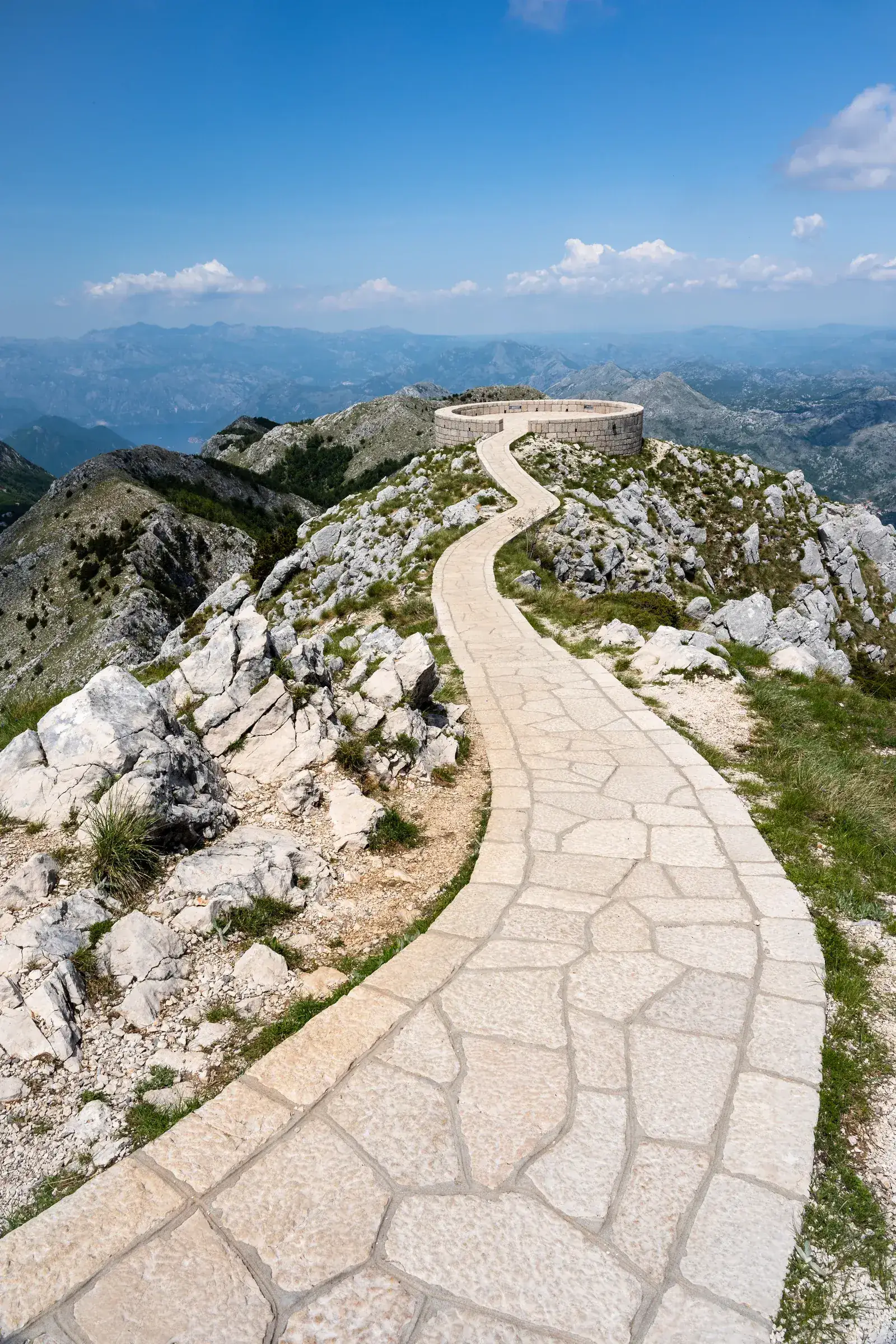
Most visitors reach the Njegoš Mausoleum — the monumental tomb of Montenegro's greatest poet and ruler, Petar II Petrović-Njegoš, perched atop Mount Lovćen at 1,657 meters — by driving to the parking lot and climbing the 461 steps cut into the rock. But the trail approach from Ivanova Korita (the park's main facility area) is far more rewarding.
The path climbs through dense beech forest, gradually emerging into open terrain with increasingly dramatic views of the coast below. Arriving at the mausoleum by foot gives the monument a sense of pilgrimage that the parking-lot approach cannot match.
The mausoleum itself, designed by sculptor Ivan Meštrović and completed in 1974, is a masterwork: a granite chapel housing a massive statue of Njegoš seated in contemplation, with a viewing platform that offers the most spectacular panorama in Montenegro — the Bay of Kotor, the Adriatic coast, Lake Skadar, and the mountain ranges of the interior, all visible simultaneously.
This is not Lovćen’s “other” summit: Jezerski Vrh is the 1,657-metre summit occupied by the Njegoš Mausoleum in the preceding entry.
fact-checkers
short summit visits
cultural panoramas
Trail snapshot
DifficultyModerate
Distance8 km round trip
Elevation Gain+450 m
Time3 hours
Best MonthsApril-November
WaterCarry 2 liters
Route-data noteThese figures describe a route variant to the same Jezerski Vrh destination as the preceding entry.
Your taste match
If you love
Montserrat
Mount Lycabettus
Superga
Think landmark summit with road-assisted access, rather than an independent wilderness objective.
Open the full place fileaccess · origins · nearby · source check
Elevation
1,657 m
Key landmark
Njegoš Mausoleum
Lovćen high point
Štirovnik · 1,749 m
Getting there
Use the Ivanova Korita trail described above or drive toward the mausoleum parking area and climb the final stairway, subject to current access rules.
How this place formed
A karst peak transformed into Montenegro’s most symbolically charged memorial landscape.
Build a cluster around it
The mausoleum, Ivanova Korita, Njeguši and Lovćen’s Kuk viewpoint.
Reality check
The original text reverses the peaks by placing the mausoleum on Štirovnik. Keep this entry only as a route variant or merge it with the preceding hike in the next full editorial revision.
Jezerski Vrh is the 1,657-meter summit where the Njegoš Mausoleum sits; Štirovnik is Lovćen’s higher 1,749-meter summit but offers equally impressive views with far fewer people. The trail from Ivanova Korita climbs through forest and then rocky terrain to the summit, where you can see both the Adriatic coast and the mountain interior simultaneously.
The peculiar name ("Lake Peak") comes from a small seasonal pond near the summit — one of the highest standing water features on the Montenegrin coast.
Coastal Trails
Montenegro's coastal trails offer the unique pleasure of hiking with the Adriatic Sea as your constant companion. These lower-altitude routes are accessible year-round and provide a completely different character from the mountain trails.
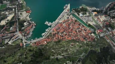
A vertical history lesson above a UNESCO old town: stone stairs, defensive walls, a votive church and a bay that opens with every turn.
city-break hikers
sunrise photographers
fortification enthusiasts
Trail snapshot
DifficultyModerate
Distance1.5 km one way (approximately 1,350 steps)
Elevation Gain+280 m
Time1-1.5 hours up
Best MonthsYear-round
WaterBuy at old town before starting; nothing on trail
Your taste match
If you love
Dubrovnik walls
Mont Saint-Michel
Arthur’s Seat
It combines a city landmark climb with the escalating viewpoint reward of a compact urban summit.
Open the full place fileaccess · origins · nearby · source check
Climb
About 1,350 steps
Official fee
€15
Paid-season hours
Published by Kotor
Getting there
Enter from Parila behind St Blessed Ozana’s church or from Škaljarska pjaca. Both official entrances start inside/alongside Kotor Old Town.
How this place formed
Successive Byzantine, Venetian and Austro-Hungarian defensive works turned the steep limestone slope into a continuous fortified system above the bay.
Build a cluster around it
Church of Our Lady of Remedy, Špiljari village, Kotor Old Town and the Ladder of Kotor.
Reality check
Kotor’s municipality publishes staffed hours and a €15 fee; do not promise free access after 20:00. Heat, polished steps and exposure are the practical hazards.
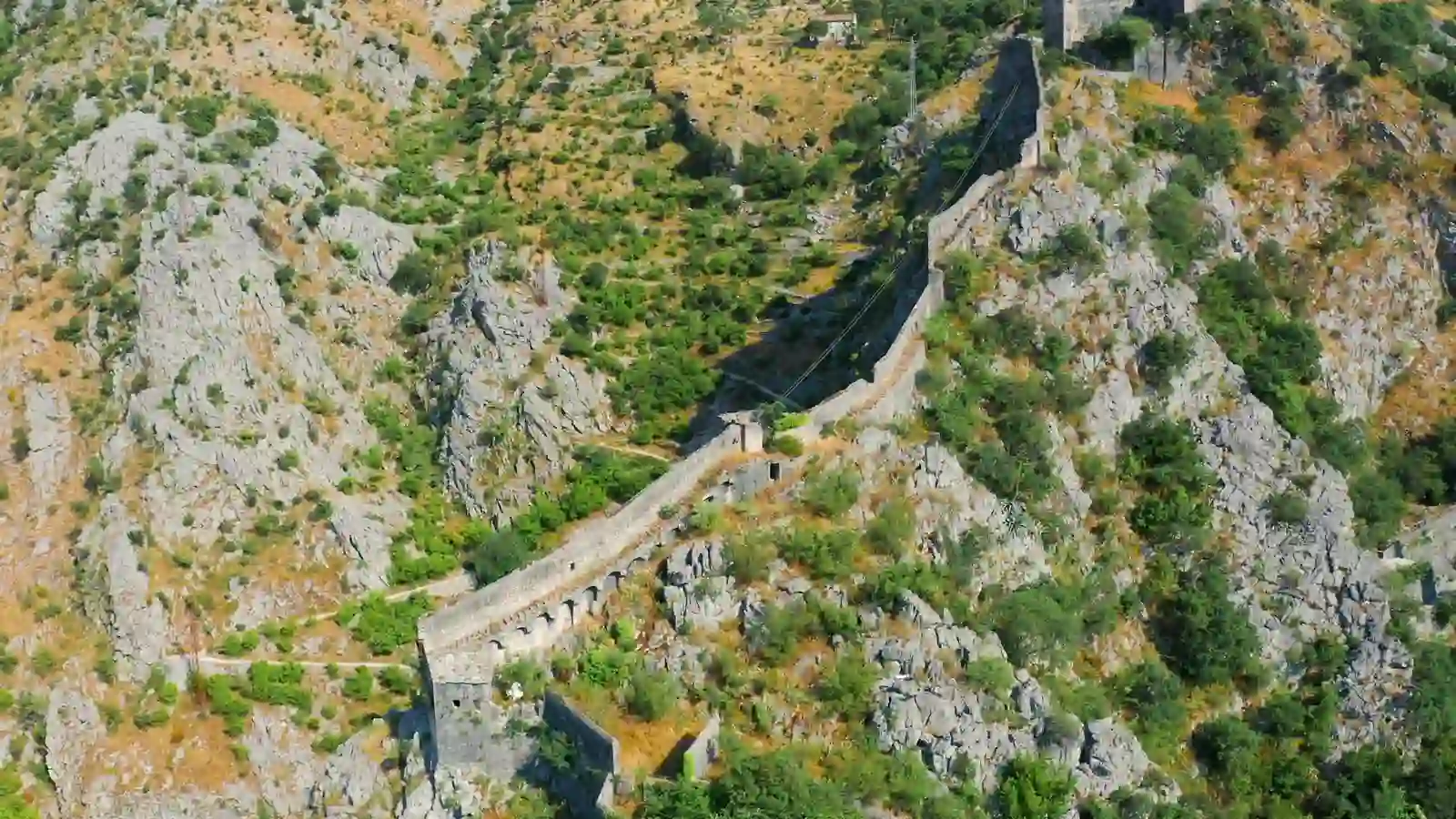
The climb up the medieval fortification walls to the ruins of San Giovanni fortress above Kotor is the single most popular hike in Montenegro, and for good reason: the panorama of the bay from the top is genuinely one of the great views in the Mediterranean.
The route follows the restored Venetian-era fortification walls, ascending 1,350 stone steps of varying size and condition. The lower sections are well-maintained; higher up, the path becomes rougher and more exposed. At several points, the drop-off beside the wall is significant.
Entry fee: EUR 15 at the official entrance near the old town, as of 2026 — nearly double the old EUR 8 rate. The Municipality of Kotor publishes staffed seasonal hours and a €15 fee; do not plan around unofficial unstaffed access.
Tip: Start at sunrise or in the late afternoon. The midday climb in summer is brutally hot with no shade. Bring at least 1.5 liters of water.
A two-bay balcony scented with maquis, wild herbs and pine, layered with villages and Austro-Hungarian fortifications.
coastal ridge walkers
military-history fans
spring wildflowers
Trail snapshot
DifficultyModerate
Distance13 km
Elevation Gain+650 m
Time4 hours
Best MonthsMarch-November (year-round possible)
WaterNo sources on ridge; carry 3 liters
Route-data noteDistance, ascent and water access depend on the chosen Kotor/Tivat trailheads.
Your taste match
If you love
Dragon’s Back
Cinque Terre high paths
Monte Solaro
Ideal if you like sea-facing ridges where cultural remnants interrupt long panoramic sections.
Open the full place fileaccess · origins · nearby · source check
Ridge length
About 8 km
High point
Sveti Ilija · 785 m
Between
Kotor + Tivat bays
Getting there
Choose a mapped variant from Kotor, Muo, Gornja Lastva or Fort Vrmac and arrange the finish transfer before treating it as point-to-point.
How this place formed
A limestone peninsula and strategic ridge separating two inner bays; layers of Venetian, Ottoman and Austro-Hungarian defence survive along it.
Build a cluster around it
Fort Vrmac, Gornja Lastva, Sveti Ilija and traditional hillside villages.
Reality check
The tourism authority mentions springs, while individual routes may have no dependable water. Carry enough and treat any spring as seasonal unless locally confirmed.
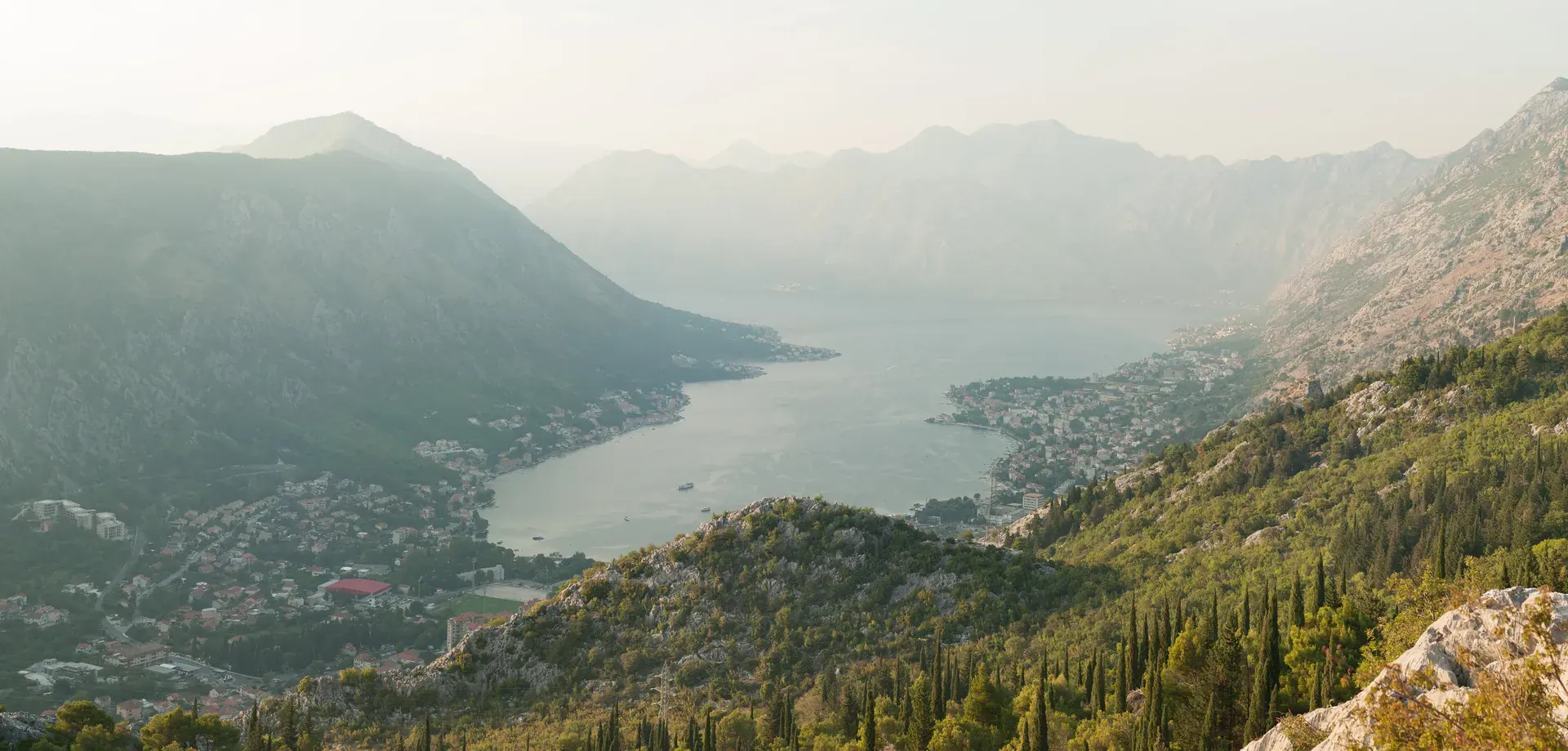
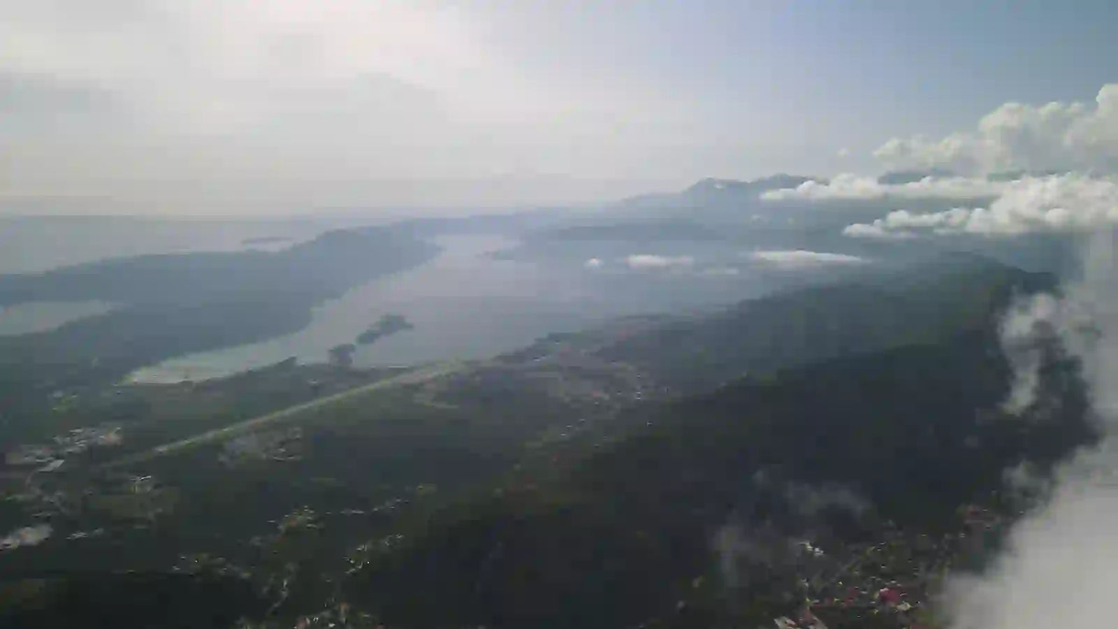
The Vrmac Peninsula separates the inner bays of Kotor and Tivat, and the ridgeline trail traversing its spine is one of the finest coastal hikes in the entire Mediterranean. Starting from Kotor (or from the village of Muo on the bay's south shore), the trail climbs steeply through Mediterranean scrub and oak forest to the ridge, then follows it for several kilometers with continuous panoramic views of the Bay of Kotor on one side and Tivat Bay on the other.
At the ridge's highest point sits Fort Vrmac, a well-preserved Austro-Hungarian military fortress from the 1860s. The fort is open to explore — bring a headlamp for the tunnels — and its roof provides a 360-degree platform overlooking both bays.
The trail can be done as a point-to-point hike (arranging transport at the other end) or as an out-and-back from either side. The Kotor-side ascent is steeper but more scenic.
Tip: This is best done in spring when wildflowers carpet the meadows, or in autumn when the heat has broken and the light turns golden. In summer, start by 7:00 AM to avoid the worst heat.
A swim-ready chain of promenades, cliff paths, beaches and fishing villages ending at Montenegro’s postcard island.
casual walkers
beach hoppers
car-free day trips
Trail snapshot
DifficultyEasy
Distance8 km one way
Elevation Gain+150 m (rolling terrain)
Time2.5 hours
Best MonthsYear-round
WaterCafes and restaurants along the way
Route-data noteThe complete Seven Bays walk is 11.4 km; 8 km describes only a shorter variant.
Your taste match
If you love
Cinque Terre
Sentier du Littoral
Amalfi coastal paths
Choose it when swimming, cafés and scenery matter more than solitude or altitude.
Open the full place fileaccess · origins · nearby · source check
Full Seven Bays route
11.4 km
Walking time
About 2 h 32 min
Return
Seasonal bus / taxi
Getting there
Start at Budva Old Town and follow the shoreline through Bečići, Rafailovići, Kamenovo, Pržno and Miločer toward Sveti Stefan; verify seasonal closures.
How this place formed
The walk stitches natural coves and limestone headlands to resort-era promenades, tunnels and the cultural landscape of Paštrovići coastal settlements.
Build a cluster around it
Mogren, Bečići, Kamenovo, Pržno, Miločer Park and Sveti Stefan viewpoints.
Reality check
The site’s mapped Seven Bays walk is 11.4 km, longer than the article’s 8 km shorthand. The Kamenovo–Pržno section has narrow drops; access around Miločer can change.
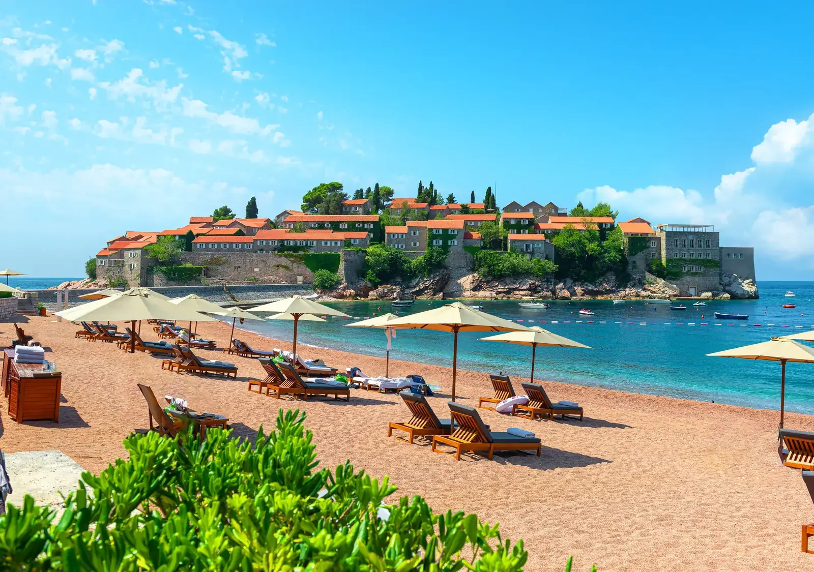
This relaxed coastal walk follows the shoreline from Budva's old town southeast to the iconic fortified island village of Sveti Stefan. The path passes several beaches (Mogren, Bečići, Kamenovo, Pržno), coves accessible only on foot, and viewpoints offering the classic Sveti Stefan postcard shot.
The terrain is a mix of paved promenades, dirt paths, and beach walking. It is not wilderness hiking — you pass through resort areas and villages — but the scenery is gorgeous, and the ability to stop for a swim at any point makes it more of a Mediterranean experience than a mountain trek.
Montenegro’s two-water summit: the Adriatic behind one shoulder, Lake Skadar behind the other and Old Bar’s history at the mountain’s foot.
dual-view summits
coast-based hikers
cultural landscapes
Trail snapshot
DifficultyModerate-Hard
Distance12 km round trip
Elevation Gain+900 m
Time5 hours
Best MonthsMarch-November
WaterCarry 3 liters; no reliable sources
Route-data noteTreat the snapshot as an estimate until a named trailhead and mapped route are selected.
Your taste match
If you love
Table Mountain
Monte Capanne
Mount Vesuvius
The draw is a major summit rising directly from a cultural coast, with water visible on opposing horizons.
Open the full place fileaccess · origins · nearby · source check
Summit
1,595 m
Nearest base
Bar / Stari Bar
Landscape divide
Adriatic + Lake Skadar
Getting there
Several approaches exist from the Bar side and the wider Primorska Planinarska Transverzala. Fix a current mapped route rather than navigating from the generic article title.
How this place formed
Rumija is the high Dinaric barrier dividing the Adriatic coast from the Lake Skadar basin, a physical divide with long religious and pastoral significance.
Build a cluster around it
Stari Bar fortress, old olive landscapes, Lake Skadar viewpoints and the coastal transversal.
Reality check
The exact 12 km itinerary in the article is not tied to an official trailhead. Heat, sparse shade, route marking and water availability vary sharply by approach.
Rumija (1,595m) rises directly behind the coastal city of Bar, and its summit provides one of Montenegro's most unique panoramas: Lake Skadar spreads to the north, the Adriatic Sea shimmers to the south, and on clear days you can see both simultaneously, making you feel as though you are standing on the spine of the world.
The trail from the village of Stari Bar (Old Bar) climbs through olive groves, Mediterranean scrub, and eventually sparse mountain grassland. The fortress ruins of Old Bar make an excellent starting point, adding historical depth to the natural beauty. The trail is less well-marked than those in national parks, so GPS navigation is recommended.
Canyon Trails
Montenegro's canyons are among the most spectacular in Europe, and several offer hiking routes that bring you into intimate contact with these geological wonders.
The canyon and its 13th-century monastery are compelling; the supposed six-kilometre rim path is not supported by the official sources reviewed.
road-trip stops
monastery history
canyon viewpoints
Trail snapshot
DifficultyModerate
Distance6 km one way
Elevation Gain+200 m
Time2 hours
Best MonthsApril-November
WaterRiver accessible but not drinkable; carry 2 liters
Route-data noteDo not navigate from this snapshot: no authoritative source reviewed confirms a signed 6 km rim trail.
Your taste match
If you love
Vikos Gorge
Samaria Gorge
Ostrog’s cliff setting
Visit for a dramatic road-and-monastery landscape—not as a substitute for a documented gorge trail.
Open the full place fileaccess · origins · nearby · source check
Morača River
113 km
Historic anchor
Morača Monastery · 1252
Verified access
Road + site walks
Getting there
Use the main Podgorica–Kolašin road to reach established monastery and canyon stops. Do not step onto road shoulders or an apparent rim path without local confirmation.
How this place formed
The Morača cuts through the Dinaric terrain north of Podgorica; the monastery was founded beside the river in 1252 and preserves major medieval art.
Build a cluster around it
Morača Monastery, Platije canyon viewpoints and the route between Podgorica and Kolašin.
Reality check
This entry should not promise a signed 6 km trail until a current authoritative route or GPX is obtained. The trunk road and canyon edges introduce serious traffic and fall hazards.
The Morača Canyon, carved by the Morača River on its journey south to Lake Skadar, is one of the most dramatic gorges along the main highway between Podgorica and Kolašin. While most travelers experience it from the road (itself an impressive engineering feat), a trail follows sections of the canyon rim, offering views straight down into the emerald water hundreds of meters below.
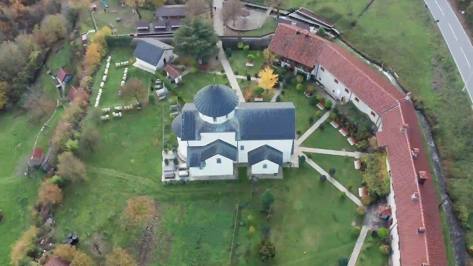
The trail starts near the Morača Monastery, a 13th-century Serbian Orthodox monastery that clings to the canyon wall and houses remarkable frescoes. Combining the monastery visit with the canyon walk makes a compelling half-day excursion.
The shared pleasure is immediate scale—major geology and a famous bridge without committing to a full-day hike.
Open the full place fileaccess · origins · nearby · source check
Canyon reach
About 80 km
Maximum depth
1,300 m
Bridge length
365 m
Getting there
Drive to established viewpoints around Đurđevića Tara Bridge; choose signed paths and pull-offs rather than improvising along the road or canyon edge.
How this place formed
The Tara incised a deep limestone gorge through the south-eastern Dinaric Alps. The five-arch bridge was completed in 1940 and became part of Montenegro’s wartime history.
The Tara River Canyon plunges 1,300 meters at its deepest point — the deepest river gorge in Europe, in UNESCO's description, though the oft-repeated boast that only the Grand Canyon beats it worldwide is best retired: gorges in the Andes and the Himalaya run far deeper. The river carved this enormous gash through the Durmitor plateau over millions of years, and the result is a gorge of almost incomprehensible scale.
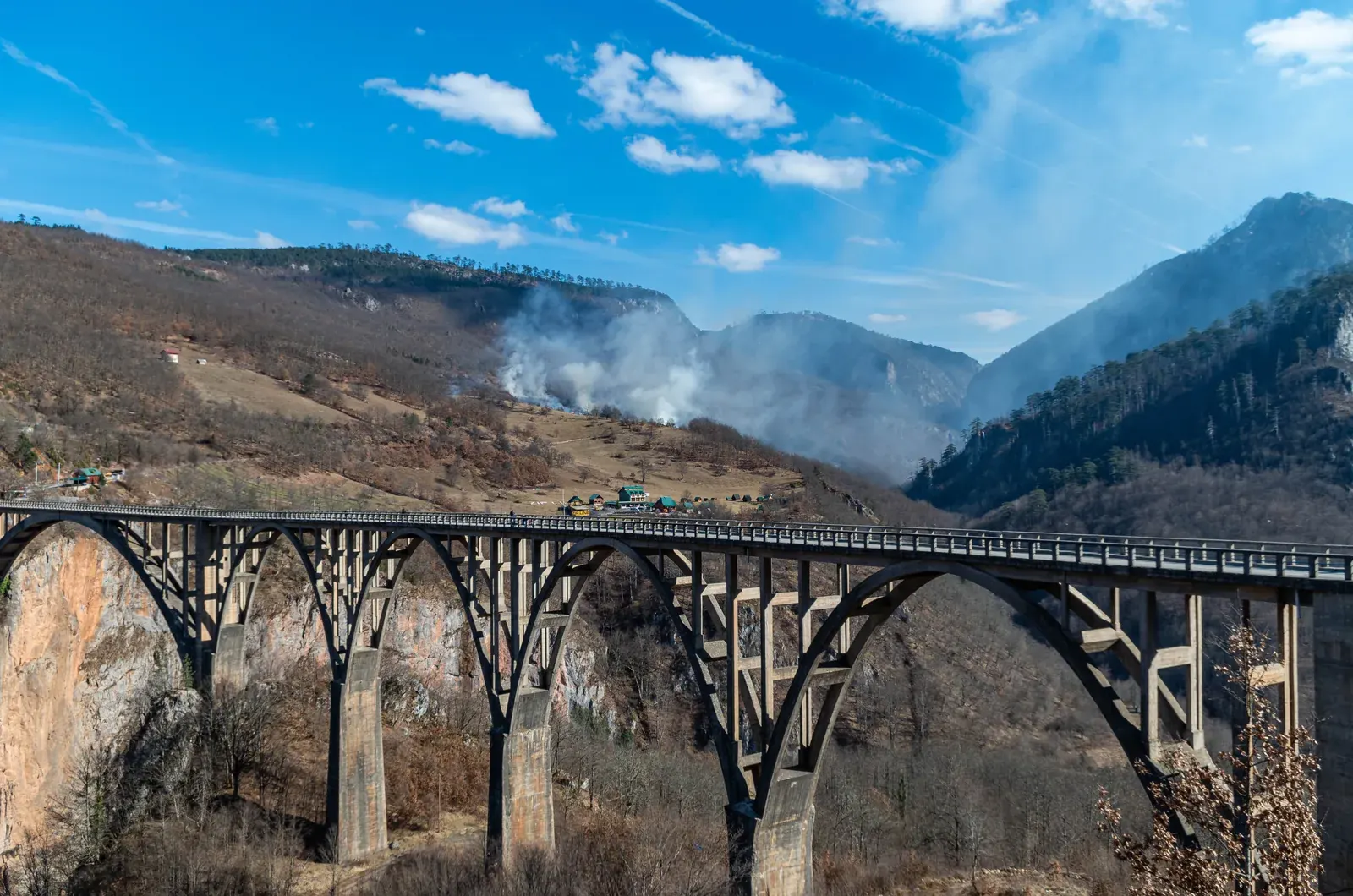
Several viewpoints and short trails near the famous Đurđevića Tara Bridge provide accessible canyon panoramas. The five-arched concrete bridge, completed in 1940, carries the road 172 meters above the river. In 1942, partisans blew out its central arch to halt the Italian advance — guided by Lazar Jauković, one of the engineers who had built it, whom the Italians captured and executed on his own crippled bridge — and it was rebuilt in 1946. Spanning 365 meters across the void, it is one of the most photographed structures in Montenegro.
A zipline across the canyon operates near the bridge (EUR 20, approximately 350 meters long), offering a thrilling way to experience the canyon's depth.
A guided passage through water and stone where the route narrows to body width and the canyon’s name—“unseen”—becomes literal.
confident swimmers
guided-adventure travellers
geology thrill seekers
Trail snapshot
DifficultyExpert only (guided)
Distance2 km through canyon
Elevation Gain-250 m descent
Time4-6 hours
Best MonthsJuly-September
WaterProvided by guide; river water throughout
Route-data noteOfficial canyon data: 3.5 km and about four hours; operator itineraries may measure only the technical section.
Your taste match
If you love
Zion Narrows
Verdon canyoning
Barranco de Masca
It is for travellers who want to enter the landform, not merely look down at it—and accept a guide-controlled aquatic day.
Open the full place fileaccess · origins · nearby · source check
Canyon length
3,500 m
Narrowest section
About 25 cm
First passage
1965
Getting there
Book a qualified canyoning operator; they control the start, equipment, water-level decision and exit transfer. The activity is not an independent hike.
How this place formed
The Komarnica River cut a hidden slot where the Durmitor and Vojnik massifs meet, producing polished chutes, pools and constrictions.
Build a cluster around it
Pošćenje, Komarnica, Šavnik and the Dragišnica–Komarnica nature landscape.
Reality check
The official tourism page gives 3.5 km, an average four-hour passage and a 25 cm constriction. Operator age, swimming and jump rules vary; verify before paying.
Nevidio ("unseen") Canyon was the last canyon in Europe to be explored, not conquered by mountaineers until 1965. The reason becomes apparent within minutes of entering: at the Kamikaze Gate, the canyon narrows in places to about 25 centimeters, while rising 200 meters above. You squeeze, swim, scramble, and jump through a geological wonder that feels like entering another dimension.
50 cm
the width of Nevidio Canyon at its narrowest squeeze, with walls rising 200 metres overhead
This cannot be done independently. A professional guide is mandatory — the canyon involves swimming through ice-cold pools, jumping off ledges into deep water (up to 5 meters), navigating between boulders, and scrambling on slippery rock in near-darkness. All equipment is provided: wetsuit, helmet, harness, and waterproof bags for your belongings.
Before you book
Nevidio canyon readiness
€80–120per person · guide + equipment included
Activity type
Guided onlyNot an independent hike
Physical profile
Fit swimmerCold water · confined sections
Group floor
Usually 4+Operator policy varies
Age guide
Typically 16+Confirm before payment
Best booking move
Compare qualified operators in Žabljak and Šavnik and book at least one day ahead in peak season. Confirm minimum age, swimming rules, water-level policy, jumps, equipment and cancellation terms directly with the operator.
This is one of the most unique outdoor experiences available in Europe. The combination of physical challenge, geological spectacle, and the thrill of exploring a canyon that resisted human entry for millennia makes Nevidio unforgettable.
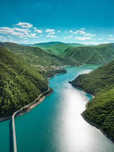
A human-made lake with fjord-scale visual impact, where engineering history, drowned valley landscapes and limestone colour meet.
lake panoramas
engineering stories
boat-and-walk combinations
Trail snapshot
DifficultyModerate
Distance8 km one way
Elevation Gain+300 m
Time3 hours
Best MonthsMay-October
WaterLake accessible but carry 2 liters
Route-data noteDo not navigate from this snapshot: the generic 8 km eastern-rim route remains unverified.
Your taste match
If you love
Geirangerfjord
Lake Louise
Lac de Serre-Ponçon
It appeals to travellers drawn to saturated mountain water and monumental walls, with the added story of a transformed valley.
Open the full place fileaccess · origins · nearby · source check
Reservoir length
About 45 km
Water level
About 675 m
Mratinje Dam
220 m
Getting there
Use Plužine as the base for signed viewpoints, local walks and boat trips. Obtain a current local route or GPX before attempting any “eastern rim” trail.
How this place formed
The Piva was dammed in the 1970s; the reservoir formed in 1975 and the hydroelectric plant entered service in 1976. Piva Monastery was relocated stone by stone above the water.
Build a cluster around it
Plužine, Mratinje Dam, Piva Monastery, boat-access caves and the road toward Šćepan Polje.
Reality check
The article’s generic 8 km rim trail is not verified by the authoritative sources reviewed. Treat it as a research lead, not a navigation instruction.
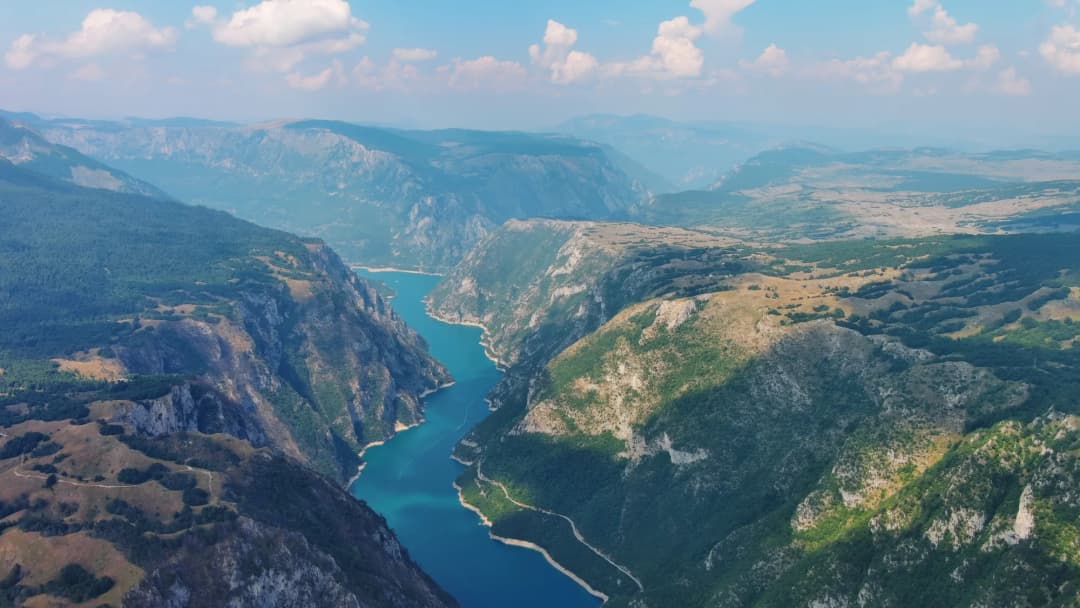
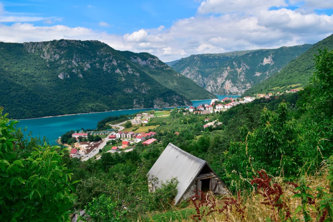
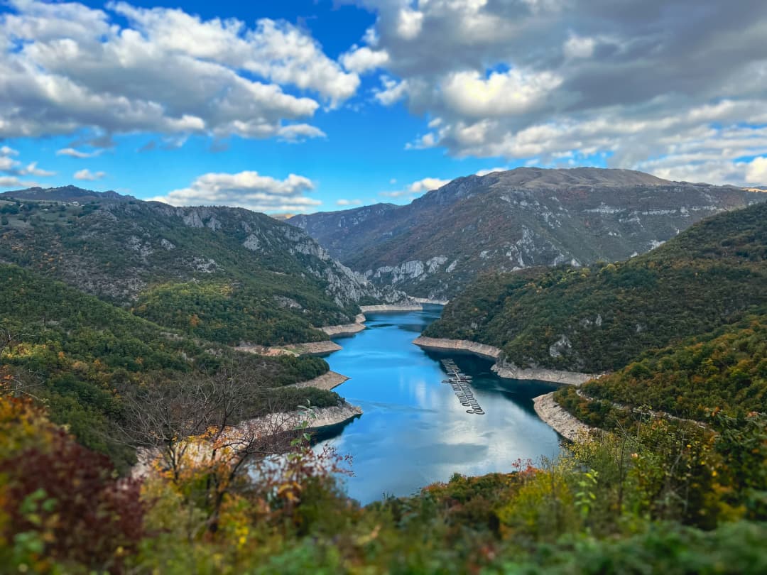
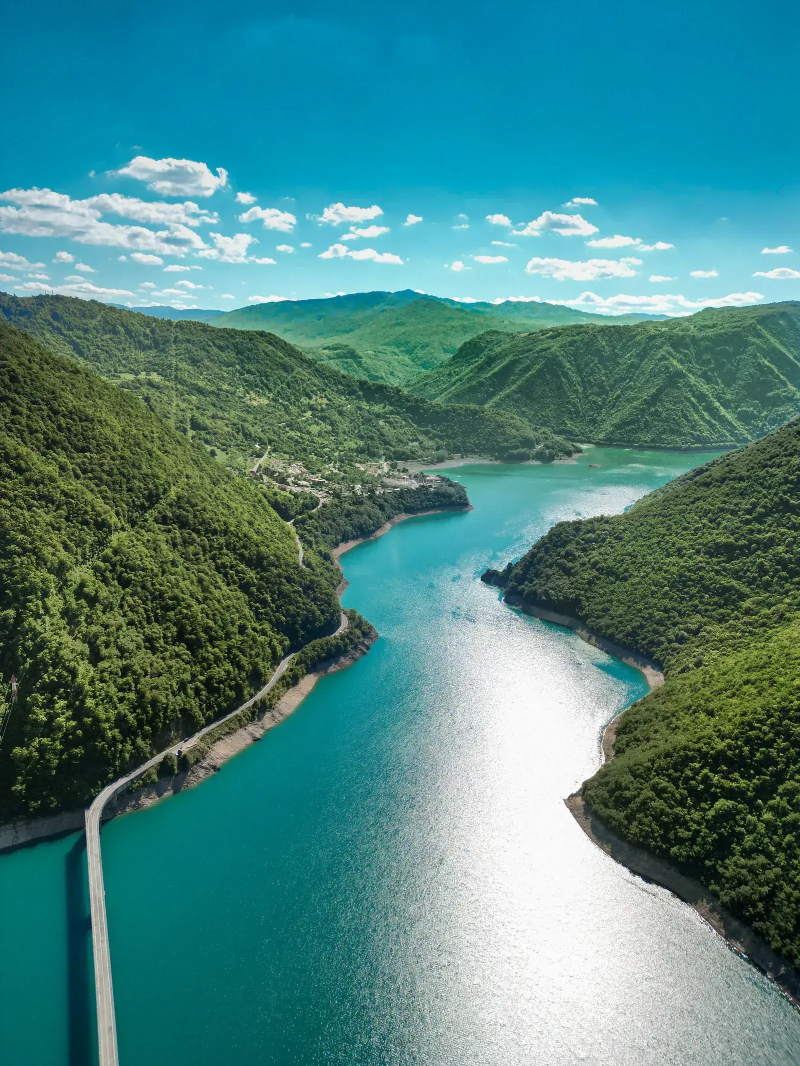
Piva Lake formed as the Piva was dammed in 1975; the hydroelectric plant entered service in 1976, is an artificial lake of extraordinary beauty. The dam (220 meters high, one of the tallest in Europe) holds back deep blue waters that fill a steep-sided canyon, creating fjord-like scenery that rivals the Bay of Kotor for drama.
A trail follows the canyon rim above the eastern shore, providing views down sheer cliff faces to the impossibly blue water below. The color of Piva Lake — a deep, saturated cerulean — comes from the dissolved limestone in the water, and it must be seen in person to be believed. The trail is not well-maintained or marked in all sections, so GPS navigation is recommended.
The starting point is near the village of Plužine, which also serves as the base for boat trips on the lake (approximately EUR 30 to 50 per person for a half-day boat tour).
Hiking Logistics and Planning
Mountain Huts
Montenegro has a network of mountain huts (planinarski domovi), though standards vary considerably:
Škrčka Jezera Hut (Durmitor): Basic stone shelter near the lakes, no warden, no facilities. Bring sleeping bag and stove.
Zeleni Vir (Durmitor): Larger hut near the Tara Canyon, sometimes wardened in summer.
Komovi Hut (Bjelasica/Komovi): Mountain hut on the approach to the Komovi peaks, basic dormitory accommodation in summer.
Various katuns: Seasonal shepherding shelters throughout the mountains. Some shepherds welcome hikers and offer cheese, milk, and shelter. Not reliable as planned accommodation.
Guided Hiking Companies
Several companies offer guided hiking trips ranging from day walks to multi-day traverses:
Most operate from Žabljak (for Durmitor), Kolašin (for Bjelasica and Komovi), and Gusinje/Plav (for Prokletije)
Day hikes with guide: EUR 40 to 80 per person (group rates lower)
Multi-day treks: EUR 100 to 150 per person per day (including accommodation and meals)
Canyoning trips: EUR 80 to 120 per person
Multi-Day Route Suggestions
3-Day Durmitor Sampler: Day 1, Bobotov Kuk from Sedlo. Day 2, Škrčka Lakes (camping or returning to Žabljak). Day 3, Black Lake circuit plus Ice Cave.
5-Day Montenegro Traverse: Day 1, Lovćen and Njegoš Mausoleum. Day 2, Vrmac Ridge and Kotor fortress. Day 3, transfer to Durmitor, Black Lake. Day 4, Bobotov Kuk. Day 5, Nevidio Canyon or Tara Canyon rafting.
7-Day Ultimate Trek: All of the above plus Prokletije (Hridsko Lake and Zla Kolata) and Biogradska Gora.
Where to Stay
Sleep by the trailhead
Choose the base that removes the most driving
These are planning price bands from the article, not live quotes. Match the town to your first trail, then check current inventory.
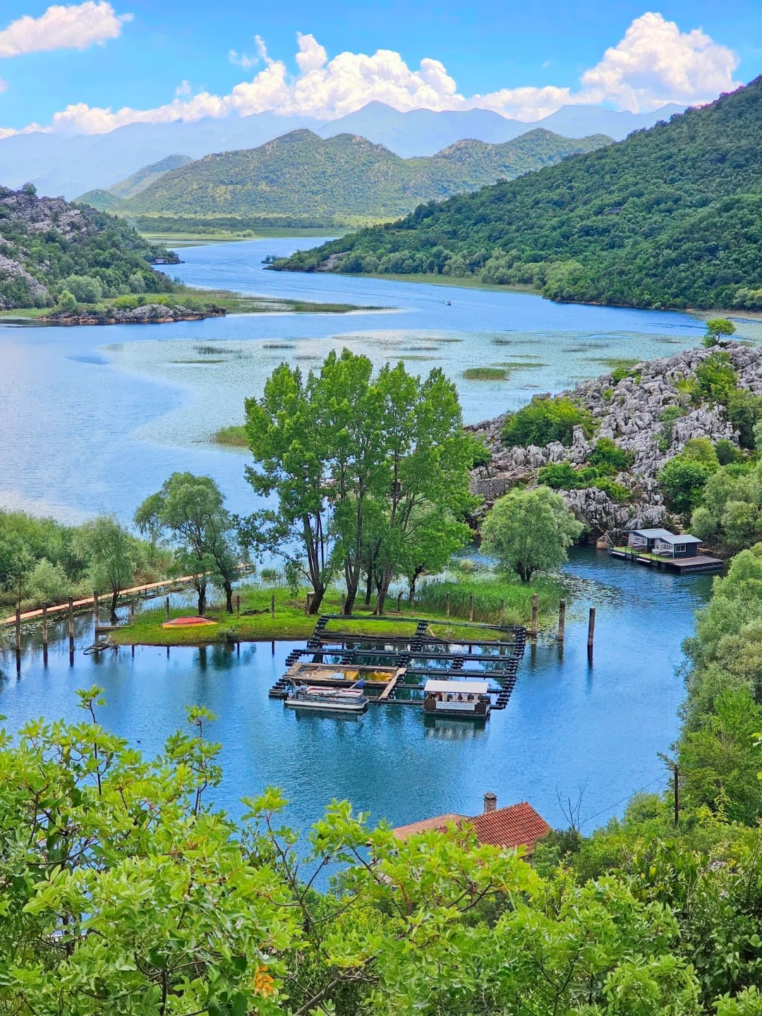
Small inventory is part of the appeal and the constraint. Reserve ahead, then obtain a current local route rather than relying on a generic canyon path.
Planning band
€20–40
Trail doorstep
Piva Lake · Mratinje Dam · western Durmitor
Best fitQuiet lake stays, road trips and local guide arrangements
Frequently Asked Questions
When is the best time to hike in Montenegro?
The optimal window for high-mountain trails (Durmitor, Prokletije, Bjelasica) is late June through September, with July and August offering the most reliable conditions. Coastal trails are pleasant from March through November, with April to June and September to October being ideal to avoid summer heat. The single best month for combining mountain and coastal hiking is September — warm enough for all altitudes, fewer crowds, and beautiful autumn light.
Do I need a guide for hiking in Montenegro?
For the trails described in this guide, most can be done independently with good maps (Mapy.cz) and basic mountain experience. Exceptions where a guide is strongly recommended or required: Zla Kolata in Prokletije (inconsistent markings, border area), Nevidio Canyon (mandatory guide, specialized equipment), and any peak ascent in Prokletije if you are unfamiliar with the area. For Durmitor, a guide adds value on the Škrčka Lakes trail but is not necessary for Bobotov Kuk or the other main trails.
Is wild camping allowed?
Officially, wild camping is not permitted in Montenegro's national parks. In practice, enforcement is minimal in remote areas, and discreet camping at mountain lakes and meadows is widely practiced, particularly in Durmitor and Prokletije. If you camp, follow leave-no-trace principles strictly: pack out all waste, use existing fire rings only (or better, use a stove), and be respectful of the environment. Designated camping areas exist near Žabljak and at some mountain huts.
How do I get to the trailheads without a car?
A car provides the most flexibility, but it is possible to reach many trailheads by public transport or taxi. Buses connect Podgorica with Žabljak (3 hours, EUR 12), Kolašin (1.5 hours, EUR 7), and Plav (3.5 hours, EUR 12). From Žabljak, taxis to Sedlo pass or Black Lake cost EUR 5 to 10. The Kotor fortress, Vrmac Ridge, and Budva-Sveti Stefan trail are all accessible on foot from towns served by regular bus routes. For Prokletije trailheads, local taxis from Gusinje or Plav are the main option (EUR 10 to 20 to most trailheads).
Is the water safe to drink from mountain streams?
No official source confirms that untreated spring, stream or lake water in Durmitor, Prokletije or elsewhere in Montenegro is safe to drink, and water quality can change with livestock, rainfall and contamination. Carry enough water, and treat or filter any natural water (with a water filter or purification tablets) before drinking.
What should I pack for a day hike in Montenegro?
Essential kit for any mountain hike: 2 to 3 liters of water, rain jacket (storms can appear from nowhere), warm fleece or down layer (temperatures drop significantly at altitude), sun protection (hat, sunscreen, sunglasses), trail food/snacks, headlamp (for caves or unexpected delays), first-aid kit, phone with Mapy.cz offline maps downloaded, and sturdy hiking boots with ankle support (terrain is rocky throughout). For canyon trails, add swimwear and a quick-dry towel.
···
Updated · Originally published
Montenegro Travel Newsletter
Get weekly stories, guides, and insider tips about Montenegro delivered to your inbox.
This article is about
Browse accommodation, travel guides, and local tips.
Pavle Obradović is from Herceg Novi. He was Manager of Montenegro.com, then Director of the Herceg Novi Tourism Organization, and is now Coordinator for Investment and Development Projects at the Municipality of Herceg Novi. He holds a BSc in International Hospitality and Service Management from the Rochester Institute of Technology (RIT).
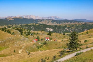 Durmitor base
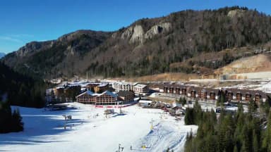 Bjelasica base
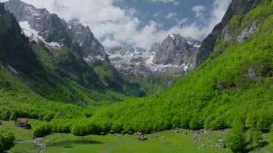 Prokletije bases
 Coastal trail base
 Piva base