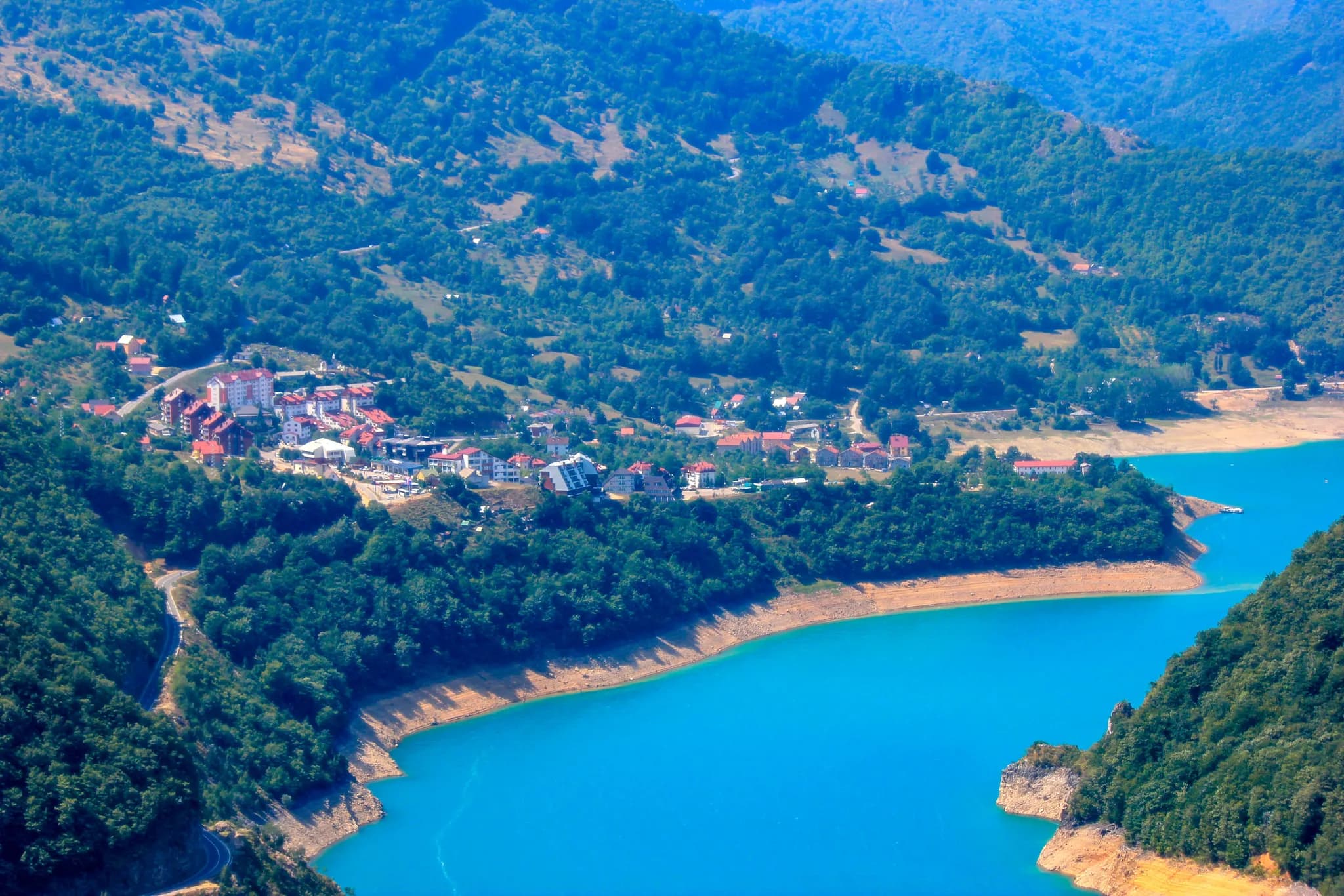
The town Montenegro built twice — old Plužine lies under Lake Piva, and its replacement steps down in terraces to the water that drowned it.
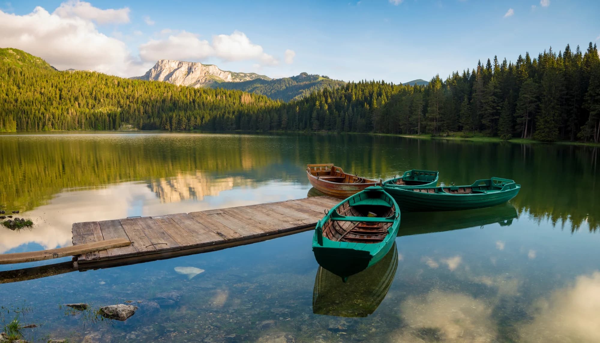
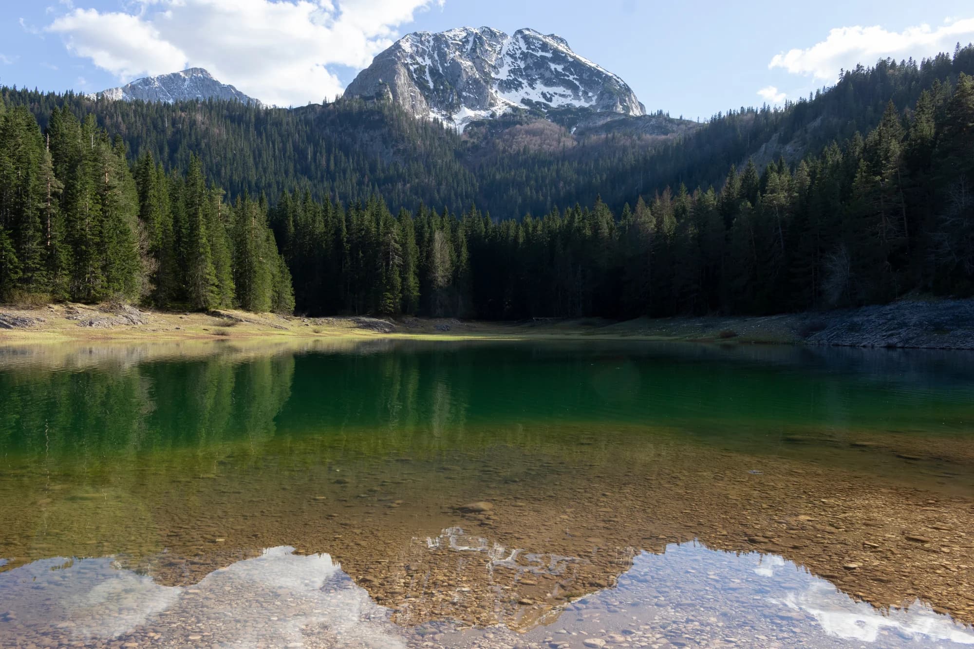
Plužine stands above Piva Lake in Montenegro's north-west, a small town on a reservoir whose water is an improbable turquoise against the grey and green of the canyon walls. The lake was created when the Piva was dammed in the 1970s, and the town itself was rebuilt on higher ground as the water rose. The approach from Nikšić, threading a series of tunnels cut into the cliff with the lake appearing and disappearing below, makes for a striking drive. The same project produced the town's most remarkable monument. Piva Monastery, founded in the 16th century, was dismantled and moved stone by stone to a new site above the waterline over more than a decade, its frescoes lifted and re-laid section by section. It is still a working monastery, and the paintings, among the largest surviving fresco cycles in Montenegro, came through intact. The old riverbed and the ground the monastery once stood on now lie under the reservoir. Plužine is mostly a base for what surrounds it. Kayaks and small boats go out on the lake, which is deep, cold and quiet; the Komarnica canyon and the western flank of Durmitor are within reach; and at Šćepan Polje, where the Piva meets the Tara at the Bosnian border, the rafting trips through the deepest river gorge in Europe begin. Above the town, mountain pastures and shepherds' huts stay in use through the short summer. It suits people who come for landscape and activity rather than nightlife: rafters, kayakers, hikers, drivers and photographers. The season runs from May to early October, with rafting at its best in late spring when the Tara is high and again in the warm weeks of August. Winters bring heavy snow and much of the tourist infrastructure closes. Accommodation is modest, mainly guesthouses and small hotels, and the food is mountain food.
1 accommodation in Plužine
Piva was Herzegovinian ground under the Ottomans and Montenegrin after the Congress of Berlin. The change that actually moved the town came a century later. Widths are to scale.
Wikipedia (en/sr) on Plužine, the Sanjak of Herzegovina, the Mratinje dam and Piva Monastery; Parks Dinarides.
A day on the reservoir
Mountain hours on a lake with one road in
Meanwhile, in 1975
Mratinje, 1975: after four years of work, a 220-metre concrete arch closes the Piva canyon — 268 metres across the crest, 820,000 cubic metres of concrete, designed by Energoprojekt, and still one of the highest dams in Europe.
Plužine — the old town goes under, and with it the confluence where the Komarnica met the Piva. Most of the replacement town had already gone up on the terraces above the waterline; its houses date from the 1970s and 80s.
Above the flood line — Piva Monastery, built 1573–1586 for Metropolitan Savatije Sokolović, is taken apart from 1969 and carried some three kilometres uphill, its 1,260 square metres of frescoes lifted off in more than a thousand pieces. The reassembly was finished in 1982.
Elsewhere in 1975 — Apollo and Soyuz dock in orbit on 17 July, and on 1 August Tito signs the Helsinki Final Act for Yugoslavia.
Search thousands of hotels and apartments with live prices.
We may earn a commission from partner links. This helps us keep Montenegro.com free for travelers.
Search hotels, apartments and guest houses with live availability.
We may earn a commission from partner links. This helps us keep Montenegro.com free for travelers.
Pluzine is in north-western Montenegro on the shore of Piva lake, close to the Bosnian border. It is about two hours from Podgorica and one from Niksic, on the road that runs north through the Piva canyon towards Foca and Sarajevo.
Because the old one is under water. When the Mratinje dam closed in 1975 and Piva lake filled, the settlement was rebuilt on higher ground and the monastery was moved stone by stone. That is why Pluzine looks unlike any other Montenegrin town.
A 16th-century monastery famous for its frescoes, and for the fact that all of them were relocated. Between 1970 and 1982 the building was dismantled, moved several kilometres and reassembled above the new waterline, with the paintings transferred intact.
Deep, narrow and dramatic — the road runs through more than fifty tunnels cut into the rock above blue-green water. It is one of the most striking drives in the country, and slow: allow far more time than the distance suggests.
Yes. Boat trips run from Pluzine in summer and the water is clean, though cold: it is a mountain reservoir, not the sea. Kayaking and fishing are the other draws, and the lake stays quiet even in August.
Durmitor national park is east, and the Piva plateau above the town is high grazing country with old villages and long views. Rafting on the Tara can be reached from here, and the Nevidio canyon is within a morning's drive.
No — the nearest is Podgorica Airport (TGD), 120 km away by road.
109.8 km by road, about 2 h 22 min by car.
The UK Foreign, Commonwealth & Development Office (FCDO) has no advisory against travel to Montenegro; it last reviewed its guidance on 13 August 2026. That is their assessment of the country as a whole, not ours and not a judgement about Plužine, so read it yourself before you travel. The emergency number in Montenegro is 112.
AprRafting season opens on the Tara — the Brštanovica–Šćepan Polje run below town: 18 km, 21 rapids, April to October
AprRegional Park Piva anniversary — declared on Earth Day, 22 April 2015 — the first regional nature park in Montenegro
MayThe plateau opens — guest houses in Nedajno and Trsa take bookings from May to October
OctVia Ferrata Piva anniversary — the 4,500-metre cable route by the Piva bridge opened on 7 October 2024
The local plate
Cornmeal beaten with potato and cheese until it comes away from the pan, then flooded with skorup. The Piva version is the one people drive up for: the skorup is made from the milk of the local Jezersko-pivska pramenka sheep and ripened in a mješina, a sheepskin sack.
Where Restoran Sočica in the centre of Plužine; lamb and veal under the sač at Pivska Vila in Nedajno
The nearest places to Plužine, at their true positions — Djurdjevića Tara is about 36 km away in a straight line.
Schematic. Positions and straight-line distances from the coordinates we hold for each place; mountain roads make the drive longer. Coastline and Lake Skadar © OpenStreetMap contributors.
Plužine in numbers
the Piva plant behind the Mratinje dam — 220 m high, built 1971–1975
Lake Piva: the drowned Piva and Komarnica canyons, 12.5 km², 188 m deep
the lake surface — the town is terraced above it
Piva Monastery, dismantled from 1969 and standing again by 1982
2023 census, the town of Plužine
Regional Park Piva, declared 22 April 2015 — Montenegro’s first
MONSTAT censuses · Wikipedia on the Mratinje dam, Lake Piva and Piva Monastery · Parks Dinarides
A few hours
Two hours shows you what the water did. It is not enough for the canyon road.
One full day
One day, three engineering decisions, and the reason the town stands where it does.
A weekend
Plužine is the base for the north-west: the reservoir at the door, Durmitor over the plateau, the Tara at the border.
The lakefront terraces
Best for the town itself — apartments in the blocks of the 1970s and 80s, with the reservoir below the balcony
Nedajno and Trsa
Best for guest houses on the Piva plateau, on the Žabljak road and the Durmitor Ring; most open May to October
Šćepan Polje
Best for the rafting camps where the Piva meets the Tara at the Bosnian border, 433 metres above sea level
Census population, Plužine municipality
The dam wrote this curve. The town held 730 people in 1981, then nearly doubled to 1,458 by 1991 as the drowned hamlets emptied into the new blocks above the waterline; it peaked at 1,494 in 2003 and is down to 1,102. The municipality fell faster — 4,272 in 2003 to 2,177 in 2023.
Best time: July · August · September
| Place | By road | Driving |
|---|---|---|
| Šćepan Polje | 26.8 km | about 40 min |
| Žabljak | 49.9 km | about 1 h |
| Šavnik | 52.1 km | about 1 h 17 min |
| Nikšić | 59.2 km | about 1 h 23 min |
| Podgorica | 109.8 km | about 2 h 22 min |
| Kotor | 138.5 km | about 2 h 57 min |
| Budva | 144.8 km | about 3 h 2 min |
Road distances routed over OpenStreetMap data, © OpenStreetMap contributors. Driving times are free-flow and take no account of summer traffic or a queue at the ferry ramp.