A town of 988 people where the Zlorečica ends in the Lim — urban only since 1853, and the road-head for the Komovi.
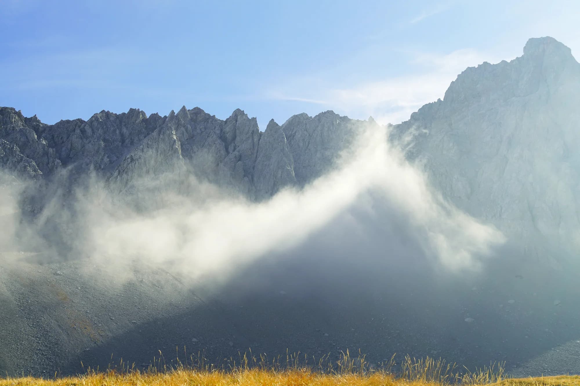
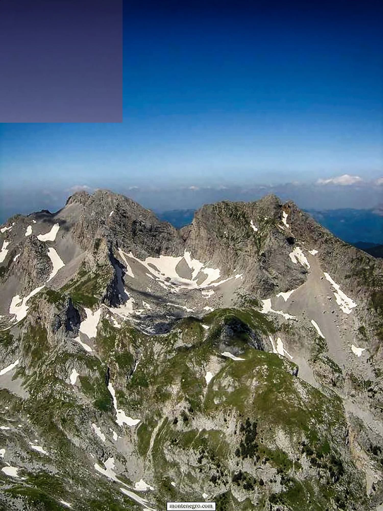
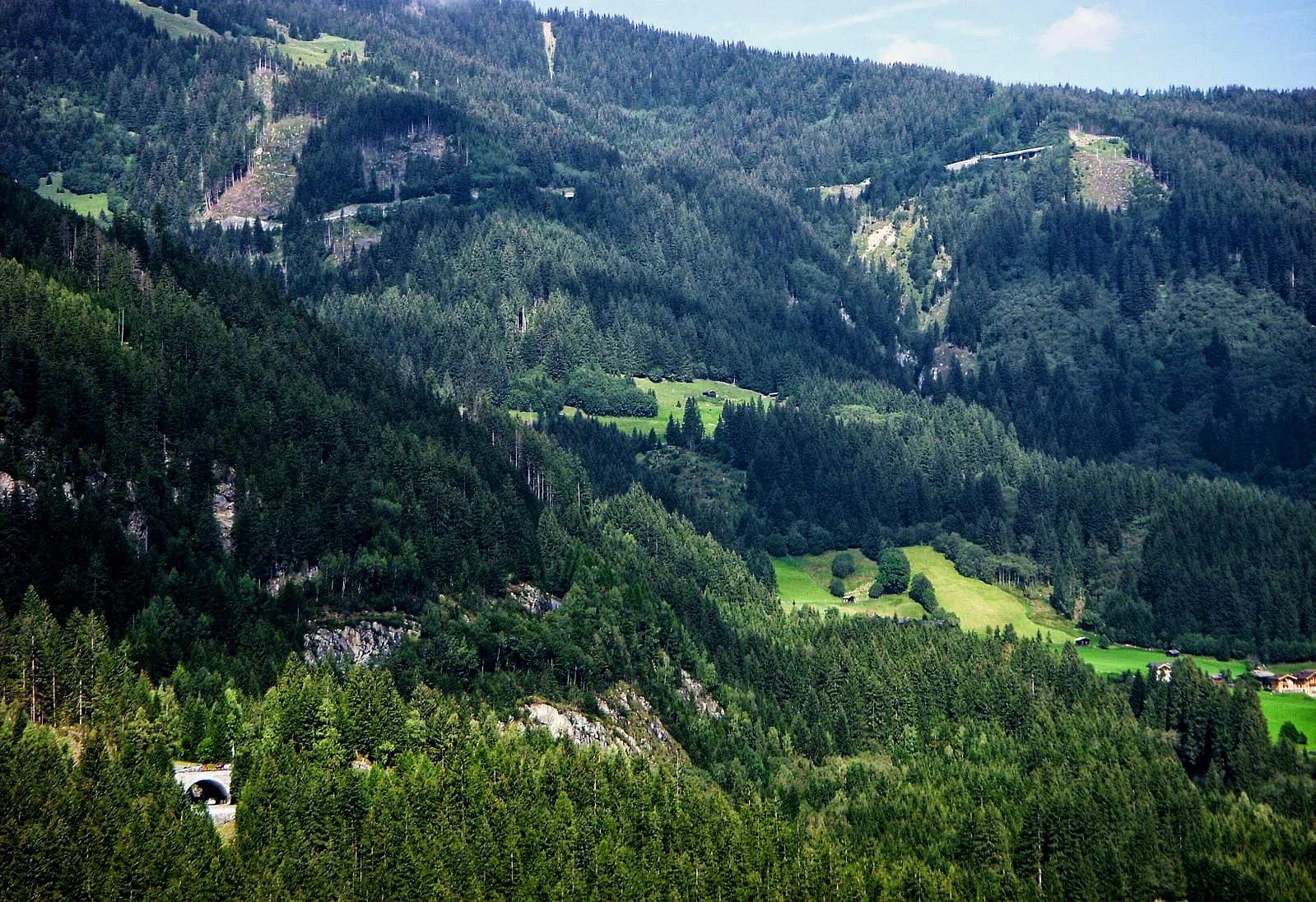
Andrijevica is a small town in Montenegro's northeast, set on a terrace above the point where the Zlorečica flows into the Lim. It is the last town of any size before the Komovi, the sharp triple-peaked massif whose summits — Kom Vasojevićki, Kom Kučki and Kom Ljevorečki — all rise above 2,400 metres. That proximity defines the place: Andrijevica is the main road gateway into one of the least-visited alpine landscapes in the country, a world of beech and conifer forest, fast clear rivers and wildflower meadows that run right up to bare rock. The town grew as the centre of the Vasojevići highlanders and later served as the seat of its own county, and it has kept a strong sense of its own history. The Church of the Holy Archangel Michael, built at the end of the 19th century in memory of local men who died in the wars of that period, stands above the main street. Day to day, Andrijevica is a handful of streets, a market, a few cafes and an easy, unhurried welcome that visitors tend to remember longer than anything they photographed. Most of what brings people here lies outside the town. Marked paths and rough forest roads climb toward the katuns, the summer shepherd settlements on the high meadows below the peaks, where families still move livestock up in early summer and make cheese and kajmak through the warm months. The Trešnjevik pass connects Andrijevica westward to Kolašin and Biogradska Gora, and both the Lim and the Zlorečica are good trout water. This suits walkers, climbers, anglers and anyone who prefers mountain villages to beach promenades. Late June through September is the window for the high routes and the katuns; autumn turns the valley forests gold and is superb for driving and fishing. Winters are long, snowy and very quiet, with little in the way of organised infrastructure.
1 accommodation in Andrijevica
The north empties
Population change 2011 to 2023 — the five steepest losses, and the capital
The steepest declines in the country are all northern, all mountain. Podgorica gained 21,000 people in the same twelve years — five times everyone Andrijevica has left.
The smallest municipalities in Montenegro
Residents by municipality, 2023 census
Fourth-smallest of the country’s twenty-five municipalities — and it still runs a town hall, a school and a third-division football club, FK Komovi.
Who visits Montenegro
Share of foreign overnight stays, 2025
MONSTAT · 2025
Census population, Andrijevica municipality
The municipality has lost three people in five since 1948 — 10,067 then, 3,910 now. The town itself has not: 923 residents in 1991, 988 in 2023. What emptied was the valley around it, not the square in the middle.
Andrijevica is younger than it looks. The church came first, twice; the town only began growing under it in the 1850s. Widths are to scale.
Tourist Organisation of Andrijevica; Wikipedia (en); MONSTAT censuses.
A day at 740 metres
The mountain sets the clock; the town waits for it
Meanwhile, in 1887
Knjaževac, 1887: Prince Nikola comes to Andrijevica, buys land on the terrace called Radunovac above the town, lays the foundation stone of the church of St Michael the Archangel and donates the money for it. The terrace is renamed Knjaževac — the prince’s place.
The Vasojevići — every rifleman from the neighbourhood pledges one stone block. The church goes up in a single summer, on the model of Morača, with icons and liturgical books brought from Russia through the Slavophile Committee; it is the first church raised in Upper Vasojevići after the village churches were levelled a decade earlier in Mehmed-Ali Pasha’s attack.
Paris: foundation work on the Eiffel Tower begins on 28 January; the ironwork goes up that summer.
Warsaw: on 26 July, Zamenhof’s Unua Libro appears and Esperanto exists.
Today — the church still stands on its terrace above the town, and Knjaževac still holds the gathering on the first of May.
“Every rifleman from the neighbourhood pledged to bring one stone block.”
Tourist Organisation of Andrijevica, on the church of 1887
Prince Nikola bought land on a terrace called Radunovac, laid the foundation stone and donated the money; the terrace was renamed Knjaževac in his honour.
Search thousands of hotels and apartments with live prices.
We may earn a commission from partner links. This helps us keep Montenegro.com free for travelers.
Search hotels, apartments and guest houses with live availability.
We may earn a commission from partner links. This helps us keep Montenegro.com free for travelers.
Andrijevica sits where the Zlorecica meets the Lim in north-eastern Montenegro, between the Komovi and Bjelasica ranges. It is a small place — a few thousand people in the whole municipality — about two hours from Podgorica by road.
Being the gateway to the Komovi. The two horn-shaped peaks, Kom Vasojevicki and Kom Kucki, rise south of the town and are among the most recognisable mountains in the country. Most people who come here are heading for them.
Yes. The usual approach is by road to the Stavna katun at around 1,800 m, then on foot; Kom Vasojevicki is a walk with a short scramble at the top, and Kom Kucki is harder. Both are day trips from town in summer.
A summer settlement of shepherds' huts on high pasture, occupied from June to September while livestock graze. Several around Andrijevica still work, and some now take guests, which is the most direct way to see how the mountains are used.
June to September for the mountains — the katuns open, the tracks are clear and the meadows are at their best. Winter is long and heavy here, and while the town stays open, the high routes do not.
For walkers, yes, and for very little else. There is a church, a river and a few cafes; the reason to come is the Komovi above it. Combine it with Plav and Gusinje for a week in the eastern mountains.
No — the nearest is Podgorica Airport (TGD), 90 km away by road.
80 km by road, about 1 h 48 min by car.
The UK Foreign, Commonwealth & Development Office (FCDO) has no advisory against travel to Montenegro; it last reviewed its guidance on 13 August 2026. That is their assessment of the country as a whole, not ours and not a judgement about Andrijevica, so read it yourself before you travel. The emergency number in Montenegro is 112.
MayThe first of May at Knjaževac — the traditional gathering on the church terrace above the town
MayLim Regatta — boats set off from Plav on the last weekend of May and come down the river
JunVidovdan night football tournament — St Vitus’ Day, 28 June, up the valley at Kralje
JulRaspberry Days — the berry harvest festival in town, July, no fixed date
AugVasojevički Kom memorial — August, named for the tribe’s own peak — Kom Vasojevićki, 2,461 m
The local plate
The katuns under the Komovi are worked through the warm months — the one at Štavna opens in May and closes in November. What comes down from them is young white cheese and kajmak, cream skimmed and salted until it firms. Eaten with cornbread, it is the whole economy of those pastures on one plate.
Where The katun restaurant at Štavna in season; the restaurants in town year-round
The nearest places to Andrijevica, at their true positions — Rožaje is about 33 km away in a straight line.
Schematic. Positions and straight-line distances from the coordinates we hold for each place; mountain roads make the drive longer. Coastline and Lake Skadar © OpenStreetMap contributors.
Andrijevica in numbers
a terrace forty metres above the Lim, mountains on three sides
2023 census, the town itself — 3,910 in the whole municipality
it ends here, in the Lim — the old manuscripts call it Dobra rijeka, the good river
the Komovi become a nature park — Andrijevica shares them with Kolašin
Podgorica, about an hour and three quarters by road
MONSTAT 2023 census · Andrijevica municipality, geographic data · Komovi nature park, 2018 · Tourist Organisation of Andrijevica
A few hours
Andrijevica takes an hour. The mountains above it take a week.
One full day
The reason to be here: a 2,461-metre summit and a shepherd’s lunch from the same katun.
A weekend
Andrijevica works as a base for the eastern mountains rather than a destination of its own. It has been a staging post since 1878, when it became the administrative centre of the north.
The town
Best for the square, the church terrace above it, and the stop for the Podgorica bus
Štavna
Best for self-catering chalets at the katun under the Komovi — May to November only
The Zlorečica valley
Best for the road upstream to Kralje and Đulići, where the old mills stood
Best time: June · July · September
| Place | By road | Driving |
|---|---|---|
| Murino | 15.6 km | about 23 min |
| Berane | 17.2 km | about 23 min |
| Plav | 24.7 km | about 34 min |
| Mateševo | 32.7 km | about 1 h 7 min |
| Podgorica | 80 km | about 1 h 48 min |
| Budva | 138.9 km | about 3 h 4 min |
| Kotor | 150.8 km | about 3 h 16 min |
Road distances routed over OpenStreetMap data, © OpenStreetMap contributors. Driving times are free-flow and take no account of summer traffic or a queue at the ferry ramp.