The town at the head of the Tara canyon — a medieval silver mine, a 1916 battlefield, and the river everyone now comes to raft.
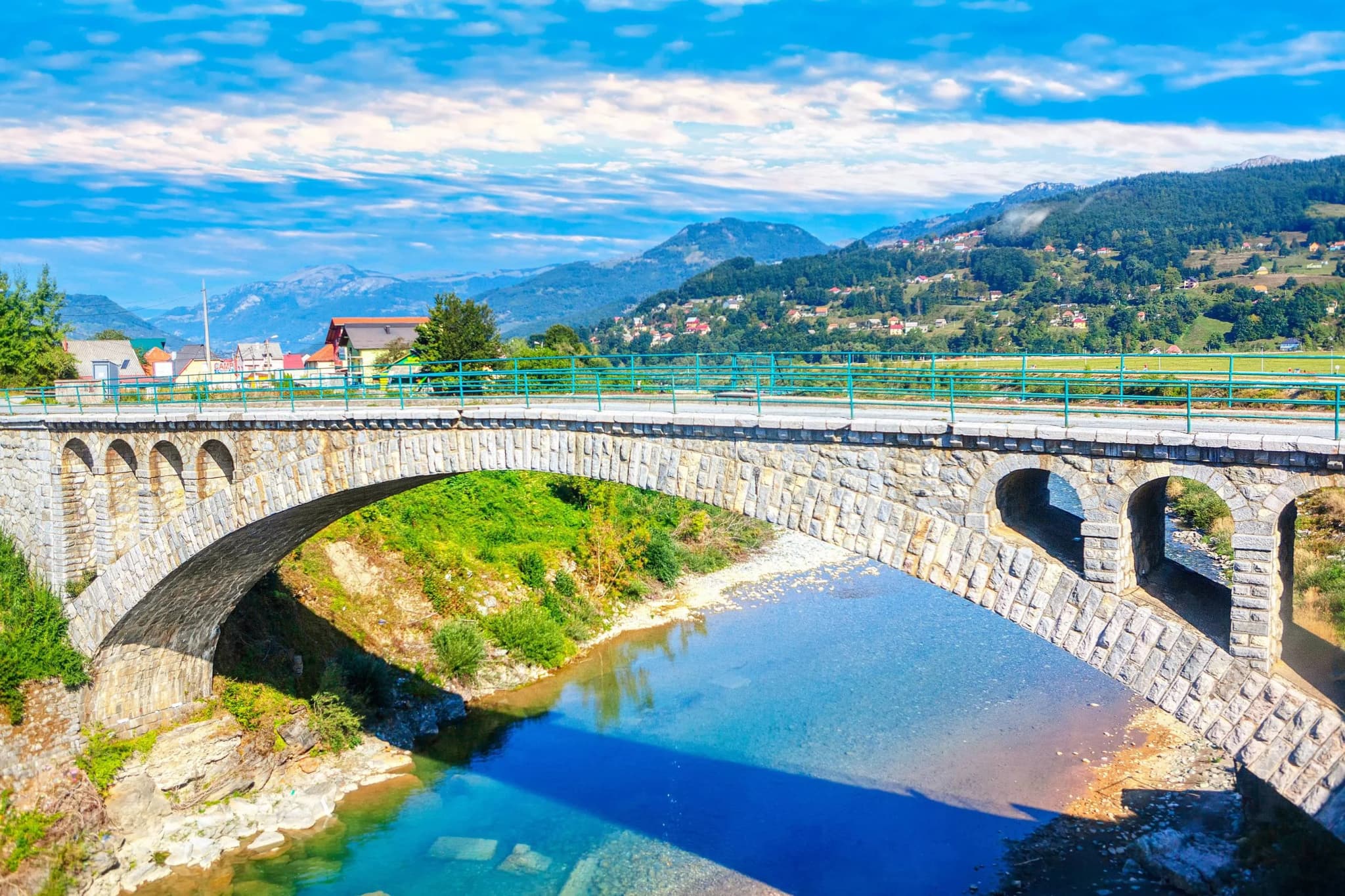
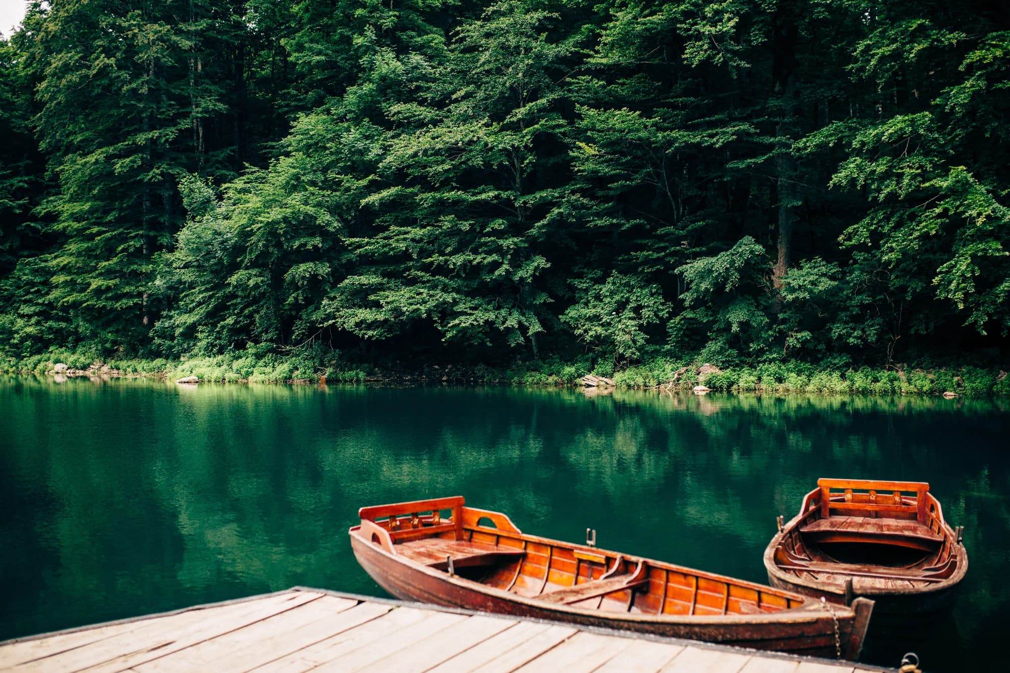
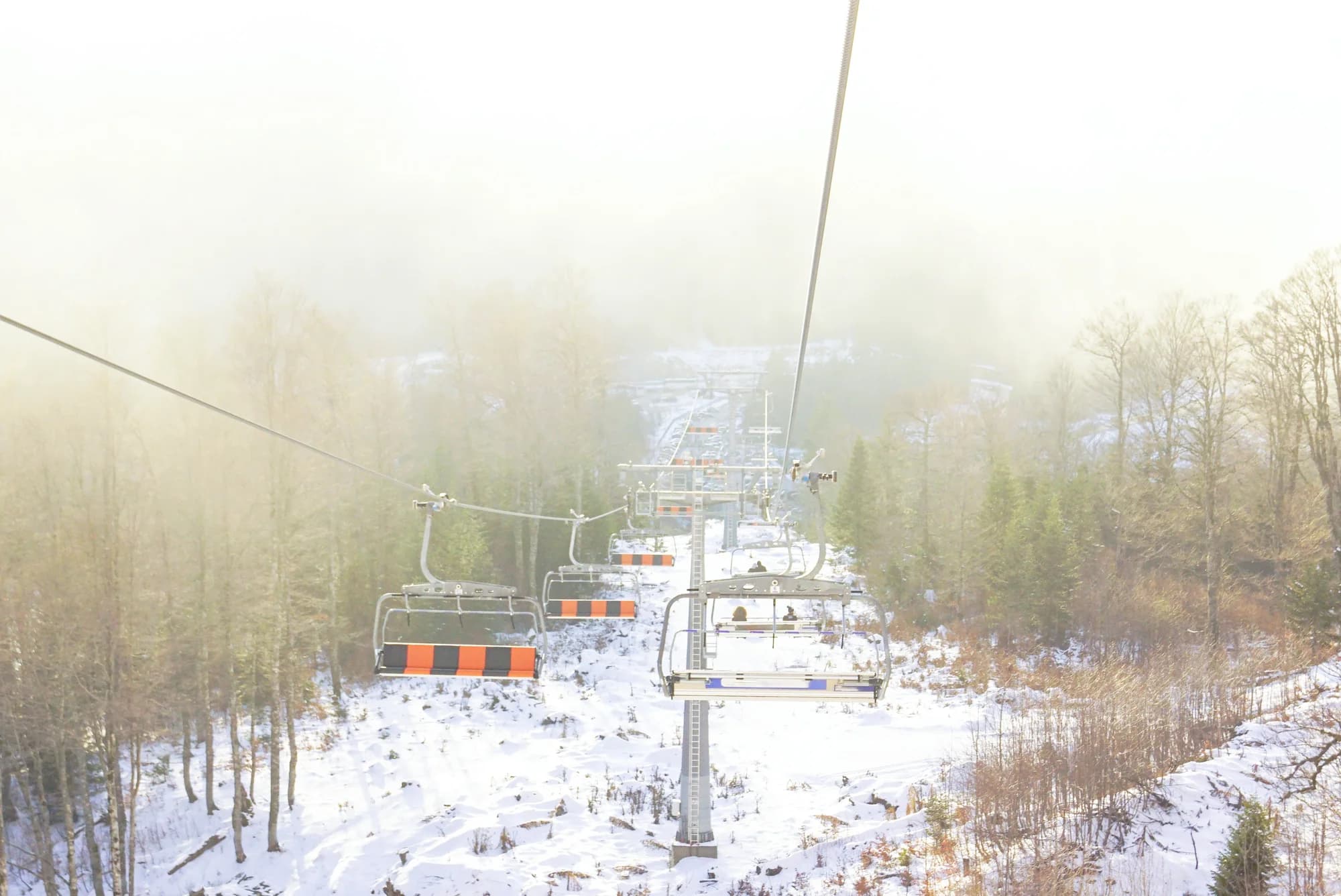
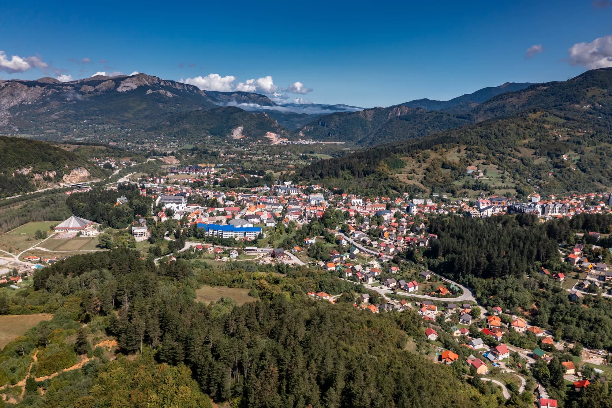
Mojkovac is a small mountain town in northern Montenegro, set in the upper Tara valley at around 800 metres, between the resort areas of Kolašin and Žabljak. The river runs clear and cold along the edge of town before entering the canyon downstream, and forested ridges rise on both sides. It is a working town rather than a tourist one, compact and inexpensive, and that makes it an unusually practical base for the mountains around it. Its name carries weight in Montenegrin history. The Battle of Mojkovac was fought here in January 1916, when the Montenegrin army held off a far larger Austro-Hungarian force to cover the retreat of the Serbian army through Albania — a stand remembered every January and marked by the memorial above the town. Mining history runs deeper still: medieval Brskovo, a few kilometres away, was one of the largest mining settlements in the Balkans in the thirteenth century, with silver and lead worked under the Nemanjić kings and a mint of its own. The town's greatest asset is Biogradska Gora National Park, whose entrance lies a short drive south. It protects one of the last primeval forests in Europe, with beech, maple and fir left standing for centuries, and the glacial Lake Biograd in a bowl of trees at its heart — an easy circular walk, and the start of harder routes onto Bjelasica. Rafting trips on the Tara set off from this stretch of river, hiking and mountain-bike trails run in every direction, and the ski slopes above Kolašin are twenty minutes away. Mojkovac suits travellers who want mountains, forest and river without resort prices, and families who plan to move around rather than settle on one beach. Summer and early autumn are the peak of the walking and rafting season; winter brings deep snow, cold nights and easy access to skiing.
1 accommodation in Mojkovac
The municipality by settlement
Residents, 2023 census
The town holds more than a third of the municipality on its own — 2,506 of 6,728 people. Only Polja passes a thousand.
Twenty years of leaving
Population change by settlement, 2003 to 2023
The town lost people faster than every village but Prošćenje. Only Uroševina and Brskovo gained — and Brskovo is the name on the mining concession.
Who visits Montenegro
Share of foreign overnight stays, 2025
MONSTAT · 2025
Census population, Mojkovac municipality
Two in five people have left in twenty years: 4,120 in the town in 2003, 2,506 in 2023. The lead and zinc mine that built modern Mojkovac opened in 1966 and closed in the 1990s, and the census has been recording the consequences ever since.
Everything Mojkovac has been, it has been because of what is under the ground or in the valley. Widths are to scale.
Opština Mojkovac (town history) · en.wikipedia on Brskovo · RFE/RL on the mine. The left bank of the Tara came to Montenegro in 1878, the town itself in 1912.
A day in the Tara valley
Mountain hours — early light, early dark
Since 2010 the news out of Mojkovac has been one question: dig again, or not.
RFE/RL the old Brskovo tailings beside the Tara are finally capped, twenty years after the mine stopped, at a cost of €10 million.
RFE/RL the concession passes to the Swiss company Tara Resources; North Mining had held it since 2010.
Tara Resources publishes a Preliminary Economic Assessment for reopening Brskovo as a zinc, lead and copper mine.
Tara Resources a Pre-Feasibility Study follows; the company puts capital investment at about €180 million, with 550 direct jobs once the mine runs.
RFE/RL €25 million already spent, some 700 jobs promised during construction and 450 direct after — against two planned tailings ponds almost five times the size of the one just cleaned up.
Local citizens’ groups oppose the reopening. Tara Resources says the feasibility study and permitting are still in progress.
Meanwhile, in 1916
Mojkovac, 6–7 January 1916: about 6,500 Montenegrins under Serdar Janko Vukotić, with 25 guns and eight machine guns, meet some 20,000 Austro-Hungarian troops with 45 guns. The order is to hold the road while the Serbian army completes its retreat through Albania to the Adriatic.
The count — the attack fails. Montenegrin losses are put at 205 killed, wounded and missing, Austro-Hungarian at about 700, of them 224 dead. The Berane–Andrijevica–Mojkovac line holds until 18 January, when the Montenegrins withdraw.
Fifty years on, in 1966 a lead and zinc mine opens at Brskovo — the industry that builds the modern town, and closes again in the 1990s, leaving its tailings on the bank of the Tara.
Meanwhile in 1916 — Verdun opens in February and the Somme in July; the war that made a road junction in the Montenegrin mountains matter is grinding through its worst year.
“The courage of the Montenegrin soldier has no equal in the history of wars. Here you could see the Montenegrin soldier attacking the enemy’s bayonets with his bare hands.”
Generalmajor Wilhelm von Reinöhl, an Austro-Hungarian commander at Mojkovac
Quoted in standard accounts of the Battle of Mojkovac, 6–7 January 1916 (English Wikipedia, Battle of Mojkovac).
“Moj kovani novac — my minted coin.”
Local legend
The town’s name, as the local story tells it
Search thousands of hotels and apartments with live prices.
We may earn a commission from partner links. This helps us keep Montenegro.com free for travelers.
Search hotels, apartments and guest houses with live availability.
We may earn a commission from partner links. This helps us keep Montenegro.com free for travelers.
Mojkovac is a small town on the upper Tara in northern Montenegro, at about 800 m, between Kolasin and Bijelo Polje. It is roughly 90 minutes from Podgorica and sits on both the main northern road and the Belgrade–Bar railway.
In January 1916 the Montenegrin army held off a far larger Austro-Hungarian force here over two days of fighting in deep snow, covering the retreat of the Serbian army through Albania. The battle is a fixed point in national memory, marked by a monument above town.
A medieval mining town just outside Mojkovac, worked from the 13th century by Saxon miners for silver and lead. It was among the largest mines in the medieval Balkans and had its own mint. Little stands today, but the site is signposted.
It is one of the usual starting points. The Tara canyon proper begins downstream, and operators run trips from here through the upper stretches. Spring meltwater gives the fastest water; late summer is gentler and better for families.
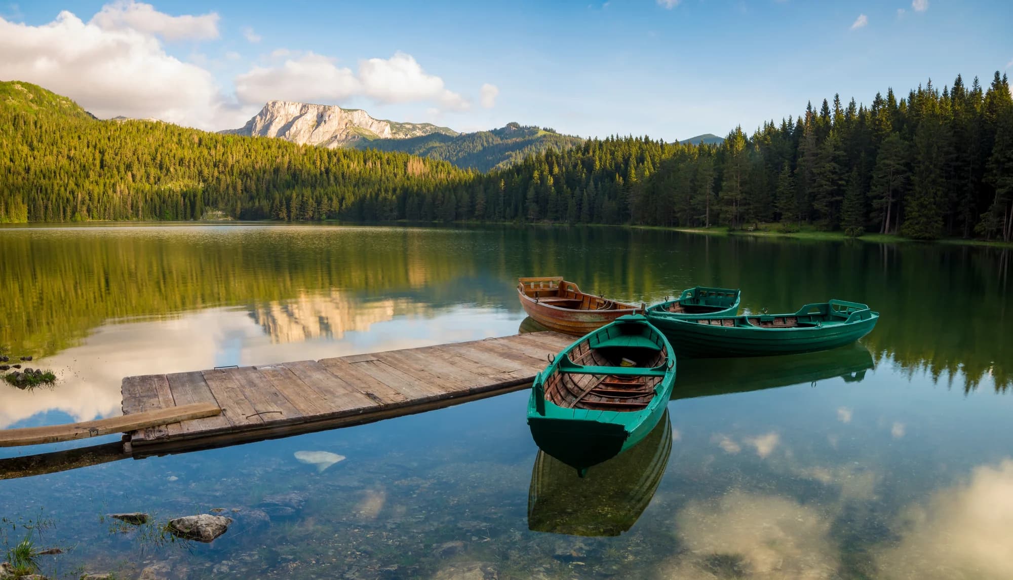
Biogradska Gora national park, with its old-growth forest and lake, is a short drive south. Bjelasica rises directly behind the town for walking in summer and skiing in winter, and the Tara itself is fished for trout.
It is a practical, inexpensive base for the Tara and Bjelasica rather than a destination. Rooms cost less than in Kolasin a few kilometres away, and the same mountains and rafting stretches are within easy reach.
No — the nearest is Podgorica Airport (TGD), 105 km away by road.
80.4 km by road, about 1 h 29 min by car.
The UK Foreign, Commonwealth & Development Office (FCDO) has no advisory against travel to Montenegro; it last reviewed its guidance on 13 August 2026. That is their assessment of the country as a whole, not ours and not a judgement about Mojkovac, so read it yourself before you travel. The emergency number in Montenegro is 112.
MayPrvomajski uranak i rafting-kajak spust — 1 May — a raft and kayak descent on the Tara opens the season
JunMojkovački otkos — June; a hand-scything contest that keeps the old mowing craft in use
JulMojkovačka čorbijada — end of July — teams cook soup on the square and it is judged in public
AugMojkovac Fest — August; the town square becomes the stage
AugSky Race Sinjajevina — August; a 22–34 km mountain race over the pasture ridges above town
SepMojkovačka filmska jesen
The local plate
The north’s staple: maize and potato beaten together with cheese and kajmak. Sinjajevina above the town is the largest pasture in the Balkans — 120,000 hectares carrying some 200,000 sheep in summer — so the dairy on the plate has come a short way.
Where Konobas in town; in summer, the rural households and katuns listed by Mojkovac’s tourist board
The nearest places to Mojkovac, at their true positions — Djurdjevića Tara is about 32 km away in a straight line.
Schematic. Positions and straight-line distances from the coordinates we hold for each place; mountain roads make the drive longer. Coastline and Lake Skadar © OpenStreetMap contributors.
Mojkovac in numbers
the valley floor between Bjelasica and Sinjajevina
the Tara canyon, which begins just downstream of the town
2023 census — 4,120 lived here in 2003
the Belgrade–Bar line opened 28 May 1976; the town is a station on it
Biogradska Gora national park — the gate is 12.7 km up the road
a year with snow; 1,649 mm of precipitation at the town gauge
MONSTAT censuses (settlement level) · Opština Mojkovac, geographic data · Turistička organizacija Mojkovac
A few hours
Ninety minutes covers the town. The reason to stop is what surrounds it.
One full day
River in the morning, forest in the afternoon — the two things Mojkovac is for.
A weekend
Two days buys two mountains, a canyon and a monastery, none of them queued.
The town centre
Best for walking distance to the station, the square and the bridge over the Tara
Down the Tara, towards Dobrilovina
Best for river-side houses where the canyon starts, and the monastery at the mouth of it
Štitarica, up its own valley
Best for rural households and katun-style stays: wood smoke, no traffic, breakfast off the farm
Kolašin, 23 km down the valley
Best for hotels and the ski centres above it, with Mojkovac and the Tara as the day trip
Best time: June · July · September
| Place | By road | Driving |
|---|---|---|
| Biogradsko Jezero | 11 km | about 22 min |
| Tomaševo | 23.1 km | about 42 min |
| Bijelo Polje | 23.3 km | about 41 min |
| Kolašin | 23.7 km | about 36 min |
| Djurdjevića Tara | 50.3 km | about 1 h 16 min |
| Žabljak | 70.1 km | about 1 h 43 min |
| Podgorica | 80.4 km | about 1 h 29 min |
Road distances routed over OpenStreetMap data, © OpenStreetMap contributors. Driving times are free-flow and take no account of summer traffic or a queue at the ferry ramp.
National parkBiogradska Gora2,139 m · 7.5 km · 57% of January days with snow
Ski areaKolašin 16002,035 m · 15 km · 62% of January days with snow
Ski areaKolašin 14501,750 m · 17 km · 62% of January days with snow
SummitKom Kučki2,487 m · 32 km · 65% of January days with snow
SummitSavin Kuk2,313 m · 44 km · 72% of January days with snow
SummitBobotov Kuk2,523 m · 48 km · 69% of January days with snowDecBožićni bazar — December; the holiday market — local produce, honey, crafts