Forty-eight people at the end of Montenegro’s only motorway — the junction in the upper Tara valley where the road splits for Kolašin and for the Komovi.
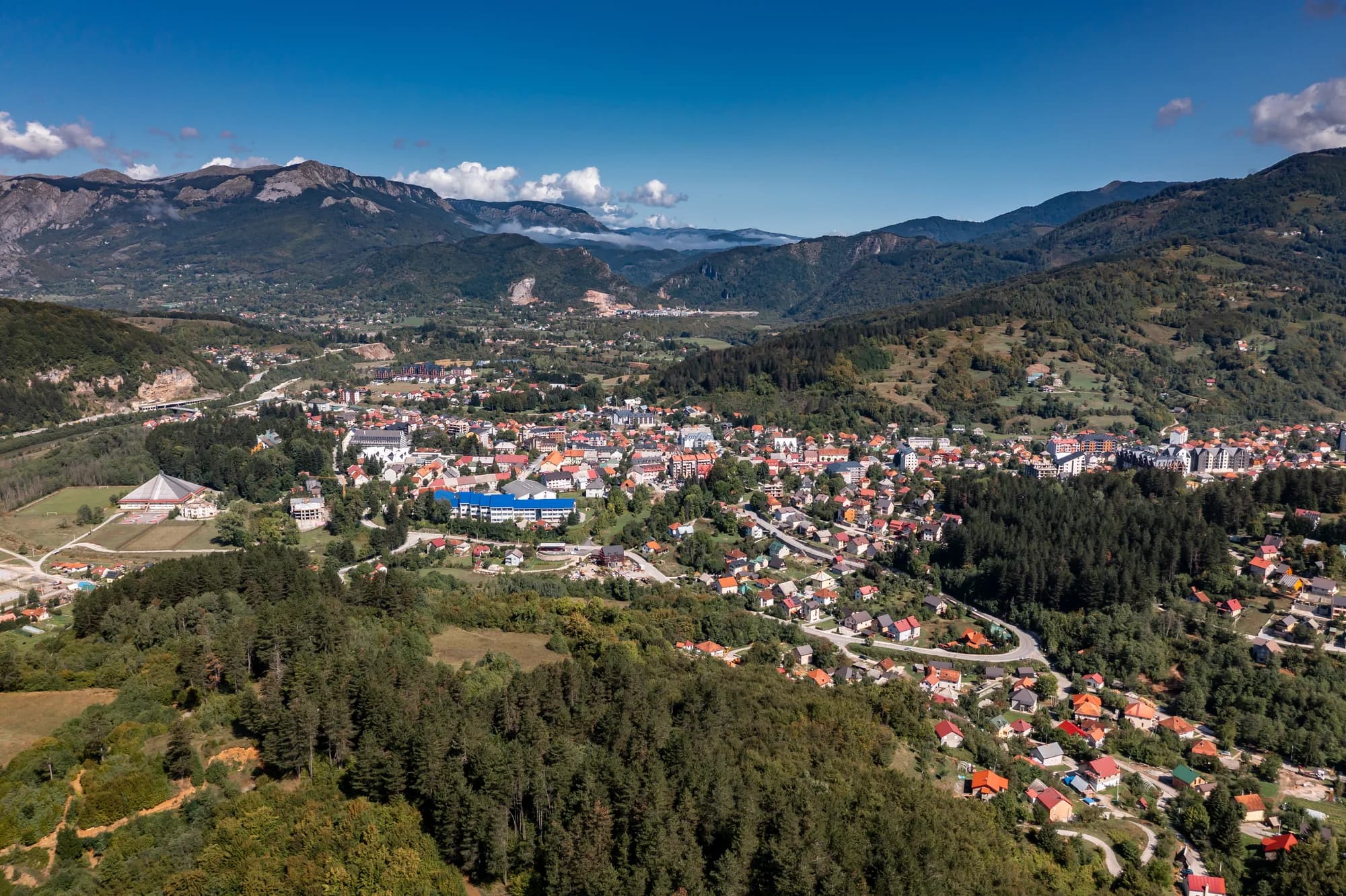
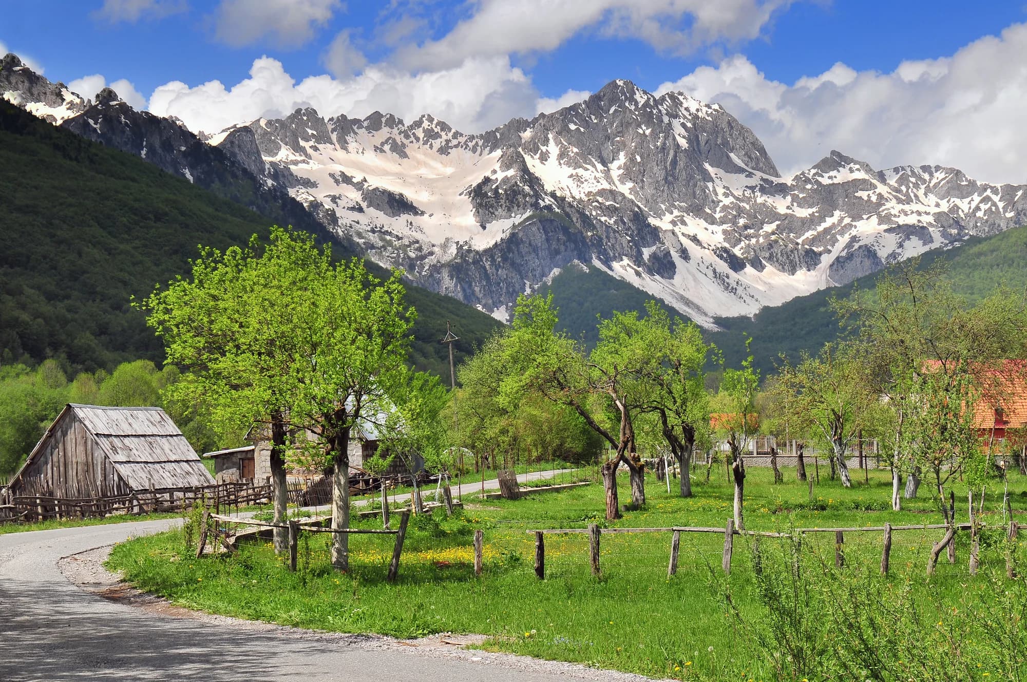
Mateševo is a mountain settlement in the north of central Montenegro, in Kolašin municipality, spread thinly along the valley where the headwaters of the Tara come together. Forest and rough pasture climb on every side, with Bjelasica to the west and the towers of Komovi to the east, and the air is noticeably cooler than in the valleys below. It has always been a junction rather than a destination: the road from Kolašin to Andrijevica passes through on its way over the Trešnjevik pass.
The north by road from the airport
Kilometres from Podgorica Airport, driving
Fifty-eight kilometres and fifty-eight minutes. The motorway took the Morača canyon out of the drive, and it made a village of forty-eight people the closest thing the northern mountains have to a front door.
Kolašin municipality by settlement
Residents, 2023 census
Mateševo is 27th of the municipality’s 70 settlements. Eighteen of the 70 carry no figure at all: MONSTAT withholds any cell under ten, which covers seventeen Kolašin villages, and an eighteenth, Izlasci, had nobody left to count.
Who visits Montenegro
Share of foreign overnight stays, 2025
MONSTAT · 2025
Census population, Mateševo municipality
Two hundred and sixty people lived here in 1948 and forty-eight do now. The village emptied while the road through it was upgraded twice — a Yugoslav highway in 1984, a motorway in 2022 — which is the whole point about Mateševo: everything built here was built to pass through.
Mateševo has never been a destination. It has been the place where the road from Podgorica meets the road to Andrijevica, in every century that has had a road. Widths are to scale.
Zemljopis Knjaževine Crne Gore (1895); Kom partisan detachment records; Montenegrin road categorisation, 1984 and 2016; Wikipedia (en, sr).
A day at the end of the motorway
Traffic, not tourism — the junction sets the hours
Meanwhile, in 2022
Mateševo, 13 July 2022: the first 41 kilometres of the Bar–Boljare motorway open, from Smokovac outside Podgorica to here, and stop. Montenegro’s only motorway begins at the capital and ends in a village of forty-eight people.
Moračica — the section’s signature structure, and nineteen further bridges behind it: 960 metres long, 23.4 metres wide, 100,000 cubic metres of concrete, its carriageway 205 metres above the bed of the Morača. It is the tallest bridge yet built in the former Yugoslavia and cost €70 million on its own. The longest tunnel on the section, Vjeternik, runs 3,039 metres.
The bill — work started on 11 May 2015 and was due to finish in May 2019; it opened in July 2022, at a cost of roughly a billion US dollars for forty-one kilometres. A car pays €3.50 to use it, a motorcycle €1.50.
Four years on — on 26 June 2026 preparatory works began on the next leg, Mateševo to Andrijevica: 22 to 23 kilometres for €694 million, with an EBRD credit of up to €200 million and an EU grant of up to €150 million, a tunnel under Trešnjevik and 21 bridges totalling 4.8 kilometres. Completion is planned for the end of 2030.
“Only horse tracks connect this nahiya to the others. The chief one runs from Kolašin by way of Mateševo, joining it to Andrijevica and Podgorica.”
Zemljopis Knjaževine Crne Gore, Cetinje 1895
Đuro Popović and Jovan Roganović, in their geography of the Principality of Montenegro, on the Morača nahiya. The line they describe is the one twice rebuilt since: a motorway at the Podgorica end, a 1,568-metre pass at the Andrijevica end.
Search thousands of hotels and apartments with live prices.
We may earn a commission from partner links. This helps us keep Montenegro.com free for travelers.
Search hotels, apartments and guest houses with live availability.
We may earn a commission from partner links. This helps us keep Montenegro.com free for travelers.
Matesevo is a mountain settlement in Kolasin municipality, spread thinly along the valley where the headwaters of the Tara come together. Bjelasica rises to the west and the Komovi towers to the east, and the air is noticeably cooler than in the valleys below.
Because of the motorway. The first section of the Bar–Boljare route, running from Smokovac above Podgorica through the Moraca canyon, opened in 2022 and currently ends here, so a drive that once meant an hour of bends along the river now arrives directly.
How easily the north of the country is reached. The result is an unusual meeting of scales — a scattering of mountain houses at the mouth of a modern motorway — and a much shorter run from Podgorica to Kolasin, Mojkovac and the Tara.
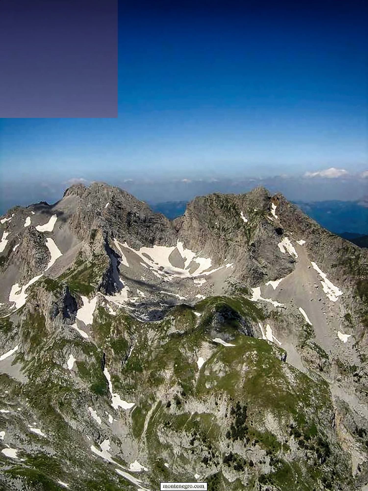
The terrain itself. Matesevo sits at the entrance to serious walking country: the Komovi peaks and their summer katuns are approached from the Tresnjevik side, and Bjelasica's meadows and Biogradska Gora national park lie a short drive west past Kolasin.
The Moraca canyon with the 13th-century Moraca monastery in its middle is immediately south, the Tara begins its long run north from these valleys, and Kolasin with its ski slopes and hotels is about 20 km away.
Services run to what a small mountain village supports and no further. The place suits hikers, anglers and drivers breaking a journey north rather than anyone looking for a resort; Kolasin has the hotels.
The local plate
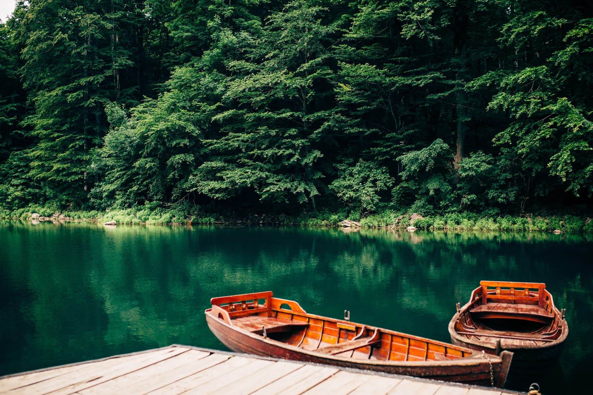
The Tara is a rafting river downstream — the last 25 kilometres of it, in the canyon. Up here it is a fishing river, and the stretch through the Kolašin valley is the one named for fly fishing. Trout off a wood grill, potato and young cheese alongside.
Where The restaurants in Kolašin, ten kilometres north
The nearest places to Mateševo, at their true positions — Ostrog is about 33 km away in a straight line.
Schematic. Positions and straight-line distances from the coordinates we hold for each place; mountain roads make the drive longer. Coastline and Lake Skadar © OpenStreetMap contributors.
Mateševo in numbers
the first 41 km of motorway, Smokovac to Mateševo, opened and stopped here
2023 census — 22 men and 26 women; 27th of Kolašin’s 70 settlements
already a river here; it is made eight kilometres upstream, where the Veruša meets the Opasanica
the motorway’s northern end — the road east climbs to 1,568 m at Trešnjevik
Podgorica, 58 minutes by road — Kolašin is 68 km from the same gate, Bijelo Polje 118
the Komovi become a nature park — Kom Kučki, 2,487 m, is ten kilometres south-east
MONSTAT 2023 census, settlement level · A-1 motorway and R-19 road records · Monteput toll tariff · reporting on the Mateševo–Andrijevica contract, June 2026 · OSRM routing on OpenStreetMap data
A few hours
Twenty minutes at the last exit, and the geography of northern Montenegro explains itself.
One full day
The pass is the reason to stop at Mateševo rather than drive through it. A tunnel under Trešnjevik is due by 2030, and this drive will then be optional.
A weekend
Mateševo is a base by accident of road-building, and a good one: two mountain ranges within an hour and the capital’s airport within another.
By the junction
Best for a campsite, a bar, the shop Market Tomović and a restaurant up the road — the whole commercial life of Mateševo
Kolašin, 10 km north
Best for where the rooms actually are: the town at 954 metres, the Bjelasica lifts, and the gate to Biogradska Gora
Trešnjevik and the Komovi katuns
Best for shepherds’ summer cottages under Kom Kučki, 2,487 m — the warm months only
Down the valley: Veruša and Opasanica
Best for thirteen and twenty-five residents at the 2023 census, on the old road, on the two streams that make the Tara
Best time: April · May · October