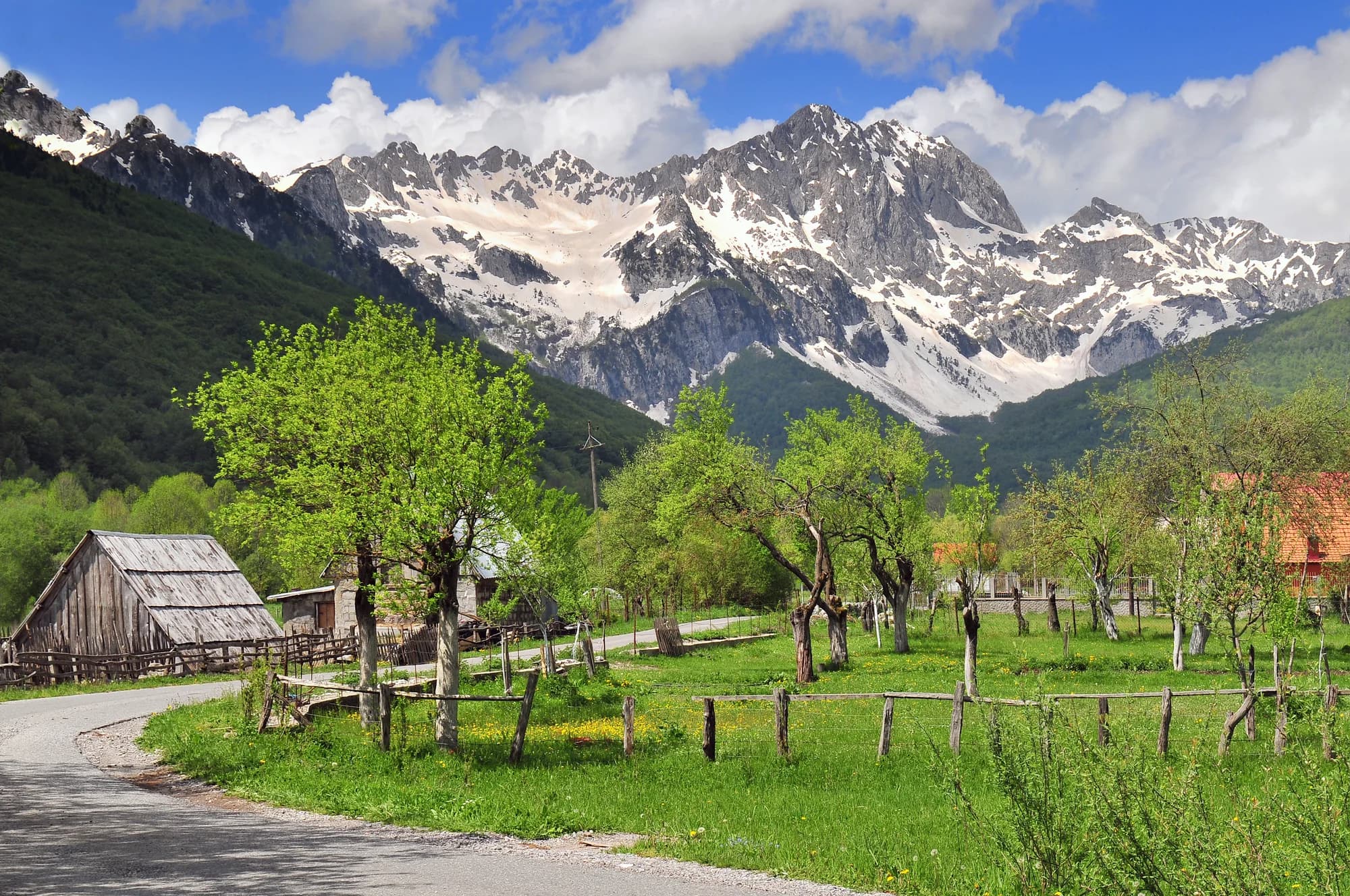
Forty-eight people at the end of Montenegro’s only motorway — the junction in the upper Tara valley where the road splits for Kolašin and for the Komovi.
Mateševo je planinsko naselje u centralnoj Crnoj Gori, smješteno duž trase buduće autoputa Bar–Boljare. Okruženo gustim šumama i nepristupačnim terenom, leži na ključnom raskršću između kanjona Morače i prevoja prema Andrijevici. Ovo područje cijene planinari i ljubitelji prirode.
Potpuni vodič
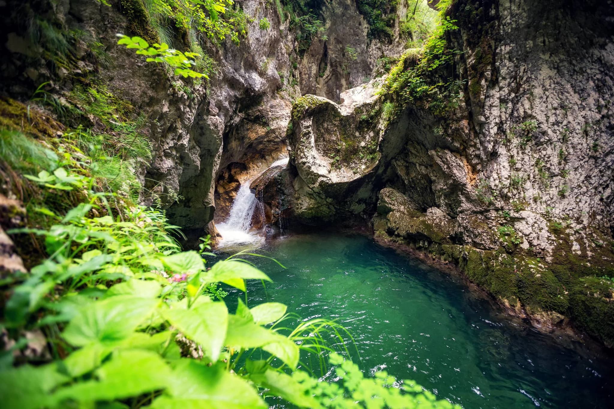
Mateševo je planinsko selo na magistrali Podgorica–Kolašin, koje služi kao kapija ka spektakularnom ali malo poznatom kanjonu Mrtvice. Obližnje atrakcije obuhvataju manastir Morača i dramatičnu klisuru rijeke Morače.
Pročitajte cjeloviti vodič kroz MateševoMateševo u brojkama
the first 41 km of motorway, Smokovac to Mateševo, opened and stopped here
2023 census — 22 men and 26 women; 27th of Kolašin’s 70 settlements
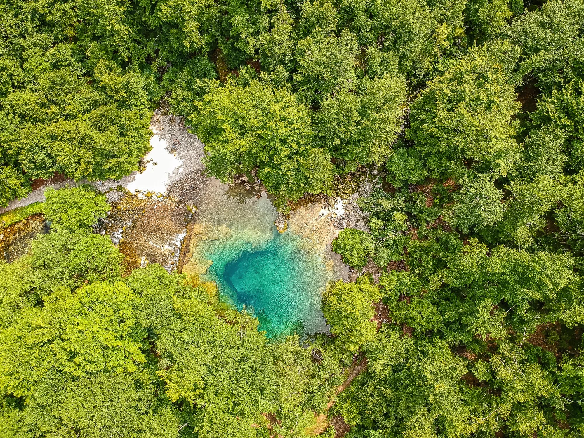
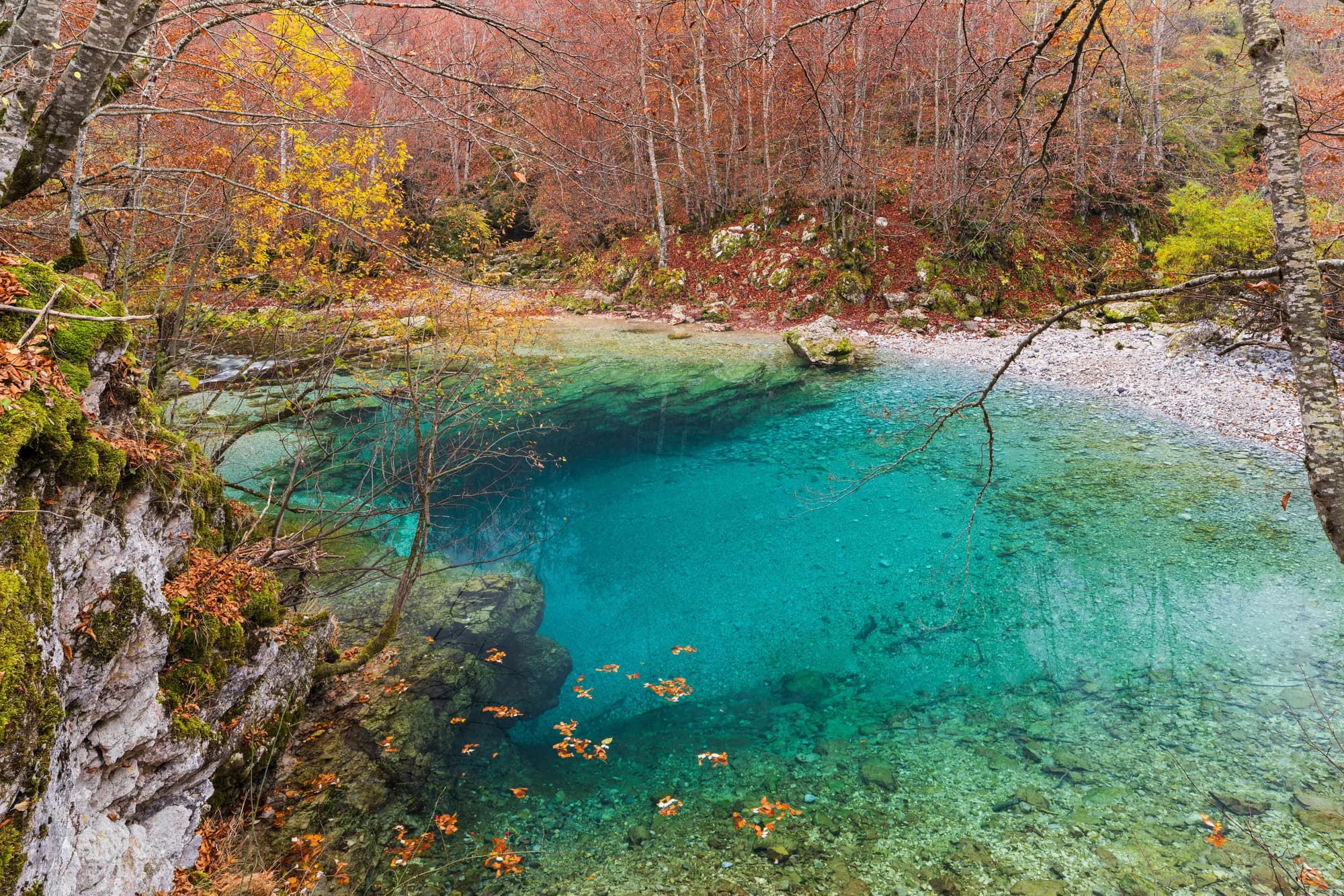
already a river here; it is made eight kilometres upstream, where the Veruša meets the Opasanica
the motorway’s northern end — the road east climbs to 1,568 m at Trešnjevik
Podgorica, 58 minutes by road — Kolašin is 68 km from the same gate, Bijelo Polje 118
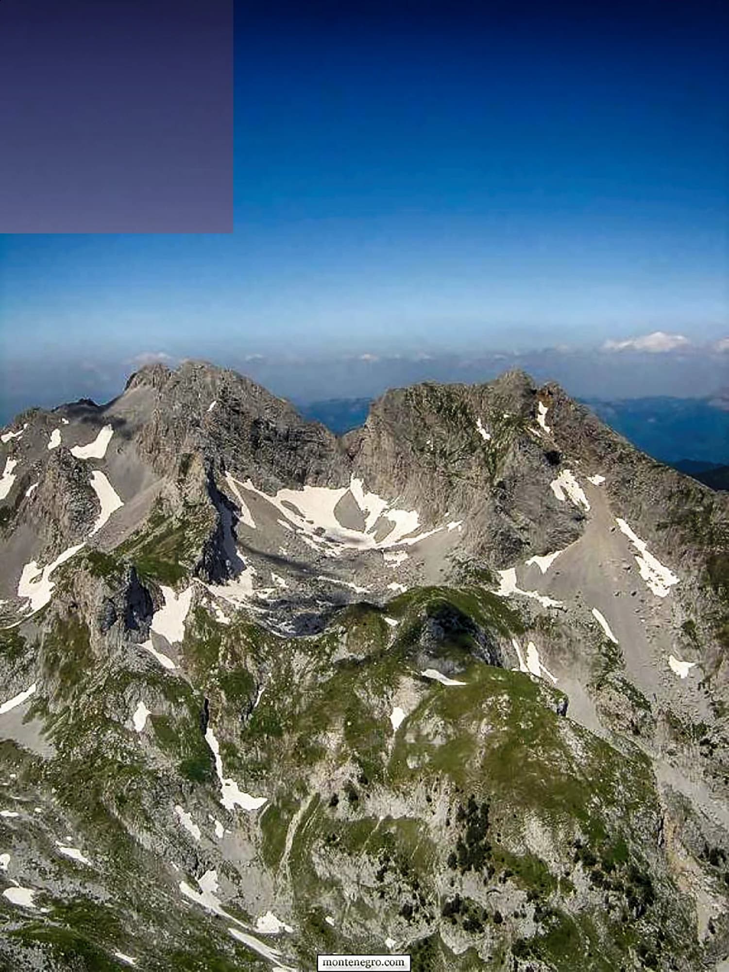
the Komovi become a nature park — Kom Kučki, 2,487 m, is ten kilometres south-east
MONSTAT 2023 census, settlement level · A-1 motorway and R-19 road records · Monteput toll tariff · reporting on the Mateševo–Andrijevica contract, June 2026 · OSRM routing on OpenStreetMap data
Najbliža mjesta mjestu Mateševo, na svojim stvarnim položajima — Ostrog je udaljeno oko 33 km vazdušnom linijom.
Najbolje vrijeme: april · maj · oktobar
Nekoliko sati
Twenty minutes at the last exit, and the geography of northern Montenegro explains itself.
Cio dan
By the junction
Najbolje za a campsite, a bar, the shop Market Tomović and a restaurant up the road — the whole commercial life of Mateševo
Kolašin, 10 km north
Najbolje za where the rooms actually are: the town at 954 metres, the Bjelasica lifts, and the gate to Biogradska Gora
Trešnjevik and the Komovi katuns
Najbolje za shepherds’ summer cottages under Kom Kučki, 2,487 m — the warm months only
Down the valley: Veruša and Opasanica
Najbolje za thirteen and twenty-five residents at the 2023 census, on the old road, on the two streams that make the Tara
The north by road from the airport
Kilometres from Podgorica Airport, driving
Fifty-eight kilometres and fifty-eight minutes. The motorway took the Morača canyon out of the drive, and it made a village of forty-eight people the closest thing the northern mountains have to a front door.
Kolašin municipality by settlement
Residents, 2023 census
Mateševo is 27th of the municipality’s 70 settlements. Eighteen of the 70 carry no figure at all: MONSTAT withholds any cell under ten, which covers seventeen Kolašin villages, and an eighteenth, Izlasci, had nobody left to count.
Mateševo has never been a destination. It has been the place where the road from Podgorica meets the road to Andrijevica, in every century that has had a road. Widths are to scale.
A day at the end of the motorway
Traffic, not tourism — the junction sets the hours
Pretražite hiljade hotela i apartmana sa aktuelnim cijenama.
Možemo zaraditi proviziju putem partnerskih linkova. To nam pomaže da zadržimo Montenegro.com besplatnim za putnike.
Pretražite hotele, apartmane i pansione sa trenutnom dostupnošću.
Možemo zaraditi proviziju putem partnerskih linkova. To nam pomaže da zadržimo Montenegro.com besplatnim za putnike.
Mateševo je planinsko naselje u opštini Kolašin, rijetko razbacano dolinom gdje se sastaju izvorišni kraci Tare. Bjelasica se diže na zapadu, a kule Komova na istoku, i vazduh je osjetno hladniji nego u dolinama ispod.
Zemljopis Knjaževine Crne Gore (1895); Kom partisan detachment records; Montenegrin road categorisation, 1984 and 2016; Wikipedia (en, sr).
Zbog autoputa. Prva dionica pravca Bar–Boljare, od Smokovca iznad Podgorice kroz kanjon Morače, otvorena je 2022. i zasad se ovdje završava, pa vožnja koja je nekad značila sat krivina uz rijeku sada stiže direktno.
Koliko se lako stiže na sjever države. Nastaje neobičan susret razmjera — nekoliko planinskih kuća na ustima savremenog autoputa — i mnogo kraći put od Podgorice do Kolašina, Mojkovca i Tare.
Sam teren. Mateševo je na ulazu u ozbiljan planinarski kraj: vrhovima Komova i njihovim ljetnjim katunima prilazi se sa strane Trešnjevika, a livade Bjelasice i nacionalni park Biogradska gora su kratka vožnja zapadno, iza Kolašina.
Kanjon Morače s manastirom Morača iz 13. vijeka u sredini odmah je na jugu, Tara iz ovih dolina počinje svoj dugi tok na sjever, a Kolašin sa stazama i hotelima udaljen je oko 20 km.
Sadržaji idu dokle ih malo planinsko selo nosi, i ne dalje. Mjesto odgovara planinarima, ribolovcima i vozačima koji prekidaju put na sjever, a ne onima koji traže turistički centar; hoteli su u Kolašinu.
Šematski prikaz. Položaji i udaljenosti mjereni su vazdušnom linijom, prema koordinatama koje imamo za svako mjesto; zbog planinskih puteva vožnja je duža. Podebljana linija označava obalu na dijelu koji prolazi kroz ovaj prikaz. Obala i Skadarsko jezero © OpenStreetMap contributors.
The pass is the reason to stop at Mateševo rather than drive through it. A tunnel under Trešnjevik is due by 2030, and this drive will then be optional.
Vikend
Mateševo is a base by accident of road-building, and a good one: two mountain ranges within an hour and the capital’s airport within another.
Ko posjećuje Crnu Goru
Udio noćenja stranih gostiju, 2025.
MONSTAT · 2025
Popis stanovništva, opština Mateševo
Two hundred and sixty people lived here in 1948 and forty-eight do now. The village emptied while the road through it was upgraded twice — a Yugoslav highway in 1984, a motorway in 2022 — which is the whole point about Mateševo: everything built here was built to pass through.
U međuvremenu — 2022
Mateševo, 13 July 2022: the first 41 kilometres of the Bar–Boljare motorway open, from Smokovac outside Podgorica to here, and stop. Montenegro’s only motorway begins at the capital and ends in a village of forty-eight people.
Moračica — the section’s signature structure, and nineteen further bridges behind it: 960 metres long, 23.4 metres wide, 100,000 cubic metres of concrete, its carriageway 205 metres above the bed of the Morača. It is the tallest bridge yet built in the former Yugoslavia and cost €70 million on its own. The longest tunnel on the section, Vjeternik, runs 3,039 metres.
The bill — work started on 11 May 2015 and was due to finish in May 2019; it opened in July 2022, at a cost of roughly a billion US dollars for forty-one kilometres. A car pays €3.50 to use it, a motorcycle €1.50.
Four years on — on 26 June 2026 preparatory works began on the next leg, Mateševo to Andrijevica: 22 to 23 kilometres for €694 million, with an EBRD credit of up to €200 million and an EU grant of up to €150 million, a tunnel under Trešnjevik and 21 bridges totalling 4.8 kilometres. Completion is planned for the end of 2030.
“Only horse tracks connect this nahiya to the others. The chief one runs from Kolašin by way of Mateševo, joining it to Andrijevica and Podgorica.”
Zemljopis Knjaževine Crne Gore, Cetinje 1895
Đuro Popović and Jovan Roganović, in their geography of the Principality of Montenegro, on the Morača nahiya. The line they describe is the one twice rebuilt since: a motorway at the Podgorica end, a 1,568-metre pass at the Andrijevica end.
Lokalni tanjir
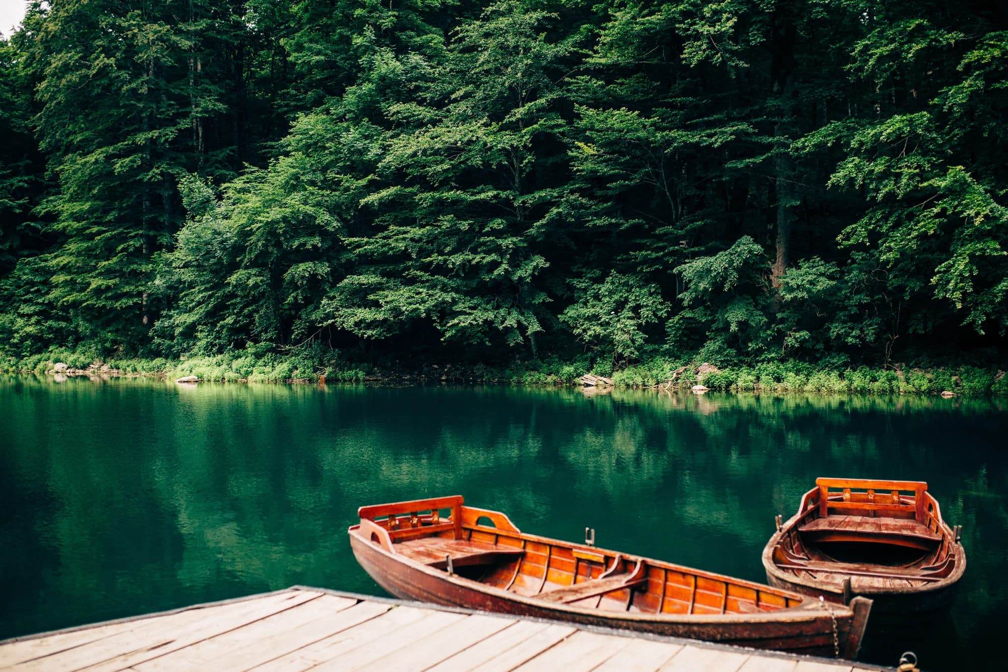
The Tara is a rafting river downstream — the last 25 kilometres of it, in the canyon. Up here it is a fishing river, and the stretch through the Kolašin valley is the one named for fly fishing. Trout off a wood grill, potato and young cheese alongside.
Gdje The restaurants in Kolašin, ten kilometres north