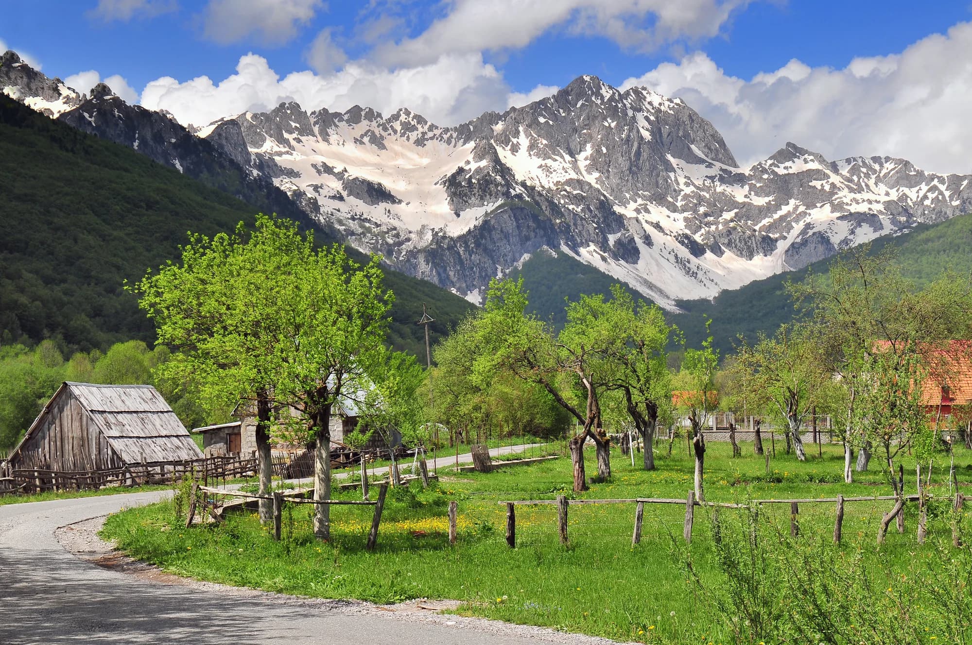
Forty-eight people at the end of Montenegro’s only motorway — the junction in the upper Tara valley where the road splits for Kolašin and for the Komovi.
Mateševo er en fjellbosetting i sentral Montenegro, beliggende langs ruten for den kommende Bar–Boljare motorveien. Omgitt av tette skoger og kupert terreng, ligger det på et viktig kryss mellom Morača Canyon og fjellovergangen mot Andrijevica. Området blir verdsatt av vandere og naturentusiaster.
Den komplette guiden
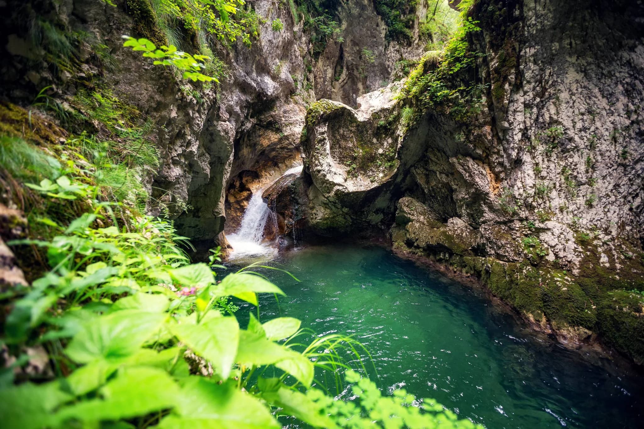
Mateševo er en fjellby på Podgorica-Kolašin motorveien, og tjener som inngang til den spektakulære men lite kjente Mrtvica Canyon. Nærliggende attraksjoner inkluderer Morača Monastery og den dramatiske Morača elvekanonyen.
Les hele guiden til MateševoMateševo i tall
the first 41 km of motorway, Smokovac to Mateševo, opened and stopped here
2023 census — 22 men and 26 women; 27th of Kolašin’s 70 settlements
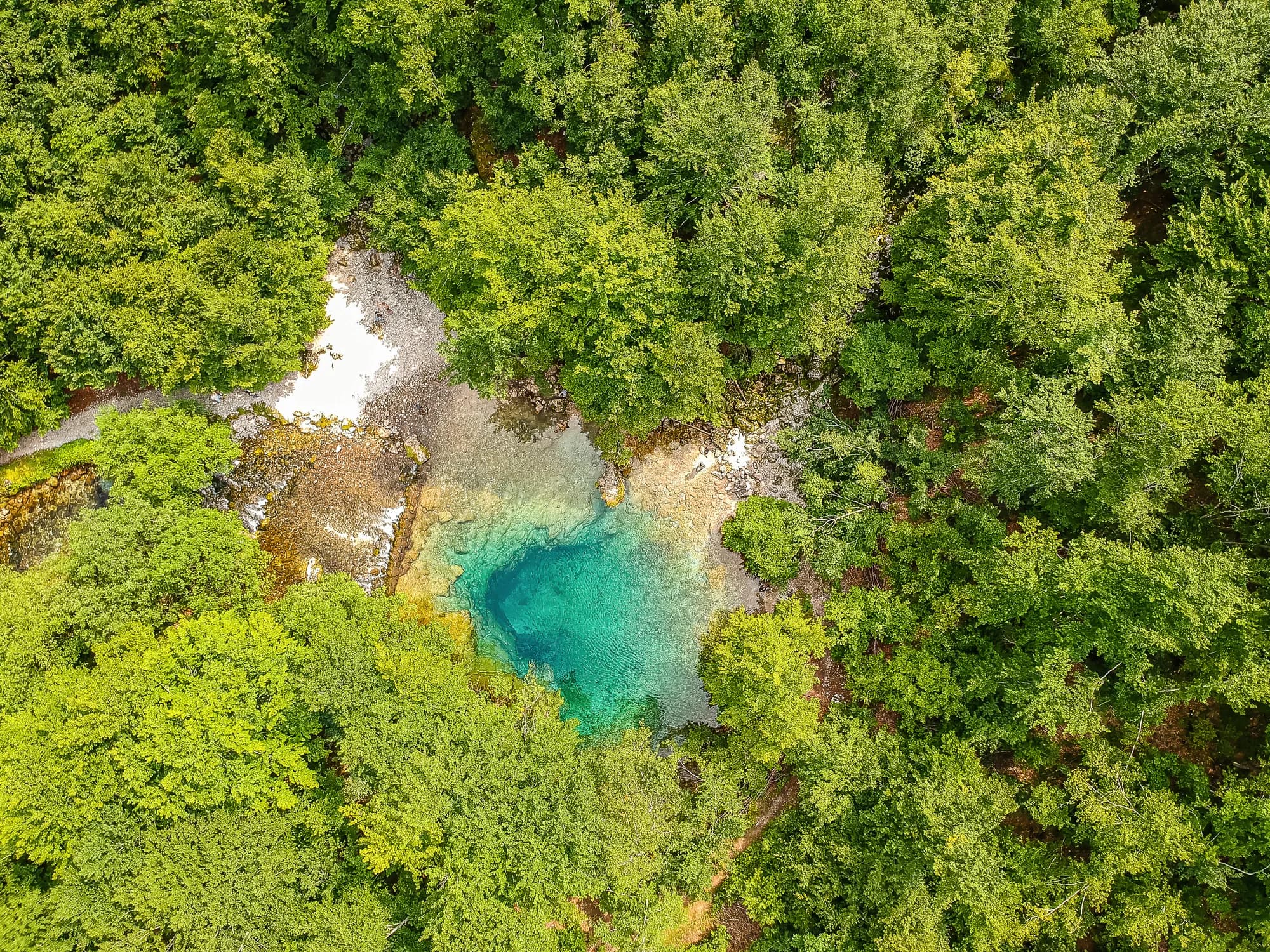
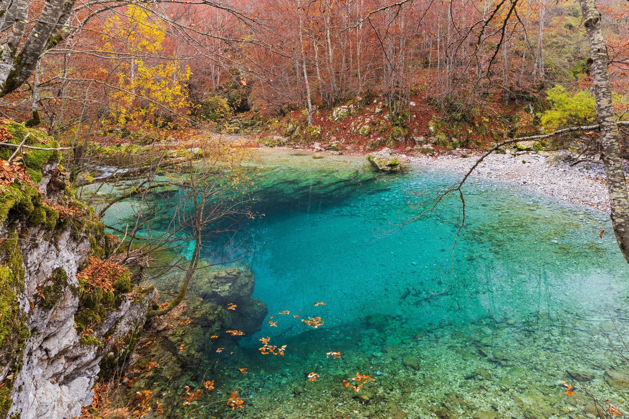
already a river here; it is made eight kilometres upstream, where the Veruša meets the Opasanica
the motorway’s northern end — the road east climbs to 1,568 m at Trešnjevik
Podgorica, 58 minutes by road — Kolašin is 68 km from the same gate, Bijelo Polje 118
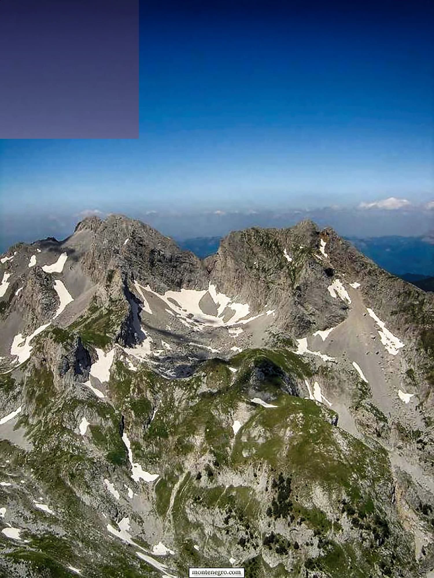
the Komovi become a nature park — Kom Kučki, 2,487 m, is ten kilometres south-east
MONSTAT 2023 census, settlement level · A-1 motorway and R-19 road records · Monteput toll tariff · reporting on the Mateševo–Andrijevica contract, June 2026 · OSRM routing on OpenStreetMap data
De nærmeste stedene rundt Mateševo, plassert der de faktisk ligger – Ostrog ligger omtrent 33 km unna i luftlinje.
Beste reisetid: april · mai · oktober
Noen timer
Twenty minutes at the last exit, and the geography of northern Montenegro explains itself.
En hel dag
By the junction
Best for a campsite, a bar, the shop Market Tomović and a restaurant up the road — the whole commercial life of Mateševo
Kolašin, 10 km north
Best for where the rooms actually are: the town at 954 metres, the Bjelasica lifts, and the gate to Biogradska Gora
Trešnjevik and the Komovi katuns
Best for shepherds’ summer cottages under Kom Kučki, 2,487 m — the warm months only
Down the valley: Veruša and Opasanica
Best for thirteen and twenty-five residents at the 2023 census, on the old road, on the two streams that make the Tara
The north by road from the airport
Kilometres from Podgorica Airport, driving
Fifty-eight kilometres and fifty-eight minutes. The motorway took the Morača canyon out of the drive, and it made a village of forty-eight people the closest thing the northern mountains have to a front door.
Kolašin municipality by settlement
Residents, 2023 census
Mateševo is 27th of the municipality’s 70 settlements. Eighteen of the 70 carry no figure at all: MONSTAT withholds any cell under ten, which covers seventeen Kolašin villages, and an eighteenth, Izlasci, had nobody left to count.
Mateševo has never been a destination. It has been the place where the road from Podgorica meets the road to Andrijevica, in every century that has had a road. Widths are to scale.
A day at the end of the motorway
Traffic, not tourism — the junction sets the hours
Søk blant tusenvis av hoteller og leiligheter med oppdaterte priser.
Vi kan tjene provisjon fra partnerlenker. Dette hjelper oss med å holde Montenegro.com gratis for reisende.
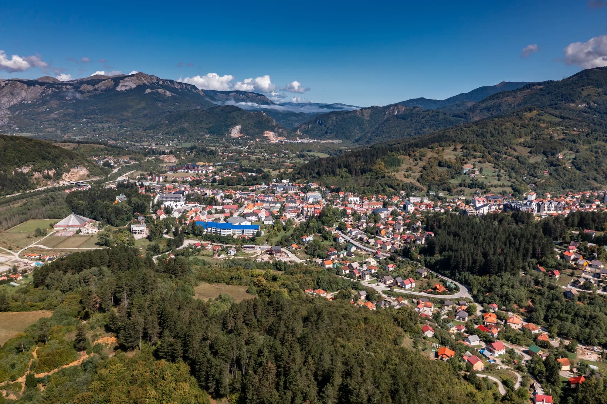
Søk blant hoteller, leiligheter og gjestehus med oppdatert tilgjengelighet.
Vi kan tjene provisjon fra partnerlenker. Dette hjelper oss med å holde Montenegro.com gratis for reisende.
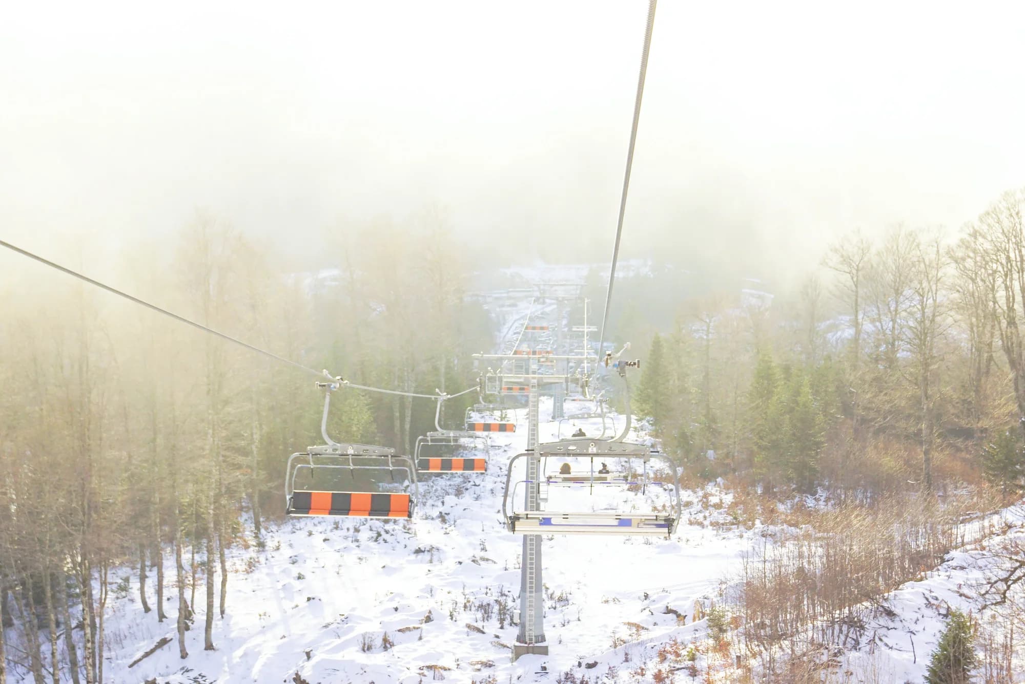
Mateševo er en fjellbygd i Kolašin kommune, tynt spredt langs dalen der kildeelvene til Tara møtes. Bjelasica reiser seg i vest og Komovi-tårnene i øst, og lufta er merkbart kjøligere enn i dalene nedenfor.
Zemljopis Knjaževine Crne Gore (1895); Kom partisan detachment records; Montenegrin road categorisation, 1984 and 2016; Wikipedia (en, sr).
På grunn av motorveien. Første etappe av Bar–Boljare, fra Smokovac over Podgorica gjennom Morača-canyonen, åpnet i 2022 og ender foreløpig her, slik at en kjøretur som før betydde en time med svinger langs elva nå kommer rett fram.
Hvor lett nord i landet nås. Resultatet er et uvanlig møte mellom målestokker — noen spredte fjellhus ved munningen av en moderne motorvei — og en langt kortere tur fra Podgorica til Kolašin, Mojkovac og Tara.
Terrenget selv. Mateševo ligger ved inngangen til ordentlig turterreng: Komovi-toppene og sommerstølene deres nås fra Trešnjevik-siden, mens Bjelasicas enger og nasjonalparken Biogradska Gora ligger en kort kjøretur vestover, forbi Kolašin.
Morača-canyonen med Morača-klosteret fra 1200-tallet midt i ligger rett sør, Tara begynner sitt lange løp nordover fra disse dalene, og Kolašin med skibakker og hoteller er om lag 20 km unna.
Tilbudet strekker seg så langt en liten fjellbygd bærer det, og ikke lenger. Stedet passer turgåere, fiskere og bilister som deler opp turen nordover, ikke den som leter etter et feriested; hotellene ligger i Kolašin.
Skjematisk. Plasseringer og avstander er i luftlinje, basert på koordinatene vi har for hvert sted; fjellveier gjør kjøreturen lengre. Den tykke linjen er kysten der den går gjennom dette utsnittet. Kystlinje og Skadarsjøen © OpenStreetMap contributors.
The pass is the reason to stop at Mateševo rather than drive through it. A tunnel under Trešnjevik is due by 2030, and this drive will then be optional.
En helg
Mateševo is a base by accident of road-building, and a good one: two mountain ranges within an hour and the capital’s airport within another.
Hvem besøker Montenegro
Andel av utenlandske gjesters overnattinger, 2025
MONSTAT · 2025
Folketellinger, Mateševo kommune
Two hundred and sixty people lived here in 1948 and forty-eight do now. The village emptied while the road through it was upgraded twice — a Yugoslav highway in 1984, a motorway in 2022 — which is the whole point about Mateševo: everything built here was built to pass through.
I mellomtiden, i 2022
Mateševo, 13 July 2022: the first 41 kilometres of the Bar–Boljare motorway open, from Smokovac outside Podgorica to here, and stop. Montenegro’s only motorway begins at the capital and ends in a village of forty-eight people.
Moračica — the section’s signature structure, and nineteen further bridges behind it: 960 metres long, 23.4 metres wide, 100,000 cubic metres of concrete, its carriageway 205 metres above the bed of the Morača. It is the tallest bridge yet built in the former Yugoslavia and cost €70 million on its own. The longest tunnel on the section, Vjeternik, runs 3,039 metres.
The bill — work started on 11 May 2015 and was due to finish in May 2019; it opened in July 2022, at a cost of roughly a billion US dollars for forty-one kilometres. A car pays €3.50 to use it, a motorcycle €1.50.
Four years on — on 26 June 2026 preparatory works began on the next leg, Mateševo to Andrijevica: 22 to 23 kilometres for €694 million, with an EBRD credit of up to €200 million and an EU grant of up to €150 million, a tunnel under Trešnjevik and 21 bridges totalling 4.8 kilometres. Completion is planned for the end of 2030.
“Only horse tracks connect this nahiya to the others. The chief one runs from Kolašin by way of Mateševo, joining it to Andrijevica and Podgorica.”
Zemljopis Knjaževine Crne Gore, Cetinje 1895
Đuro Popović and Jovan Roganović, in their geography of the Principality of Montenegro, on the Morača nahiya. The line they describe is the one twice rebuilt since: a motorway at the Podgorica end, a 1,568-metre pass at the Andrijevica end.
Den lokale tallerkenen
The Tara is a rafting river downstream — the last 25 kilometres of it, in the canyon. Up here it is a fishing river, and the stretch through the Kolašin valley is the one named for fly fishing. Trout off a wood grill, potato and young cheese alongside.
Hvor The restaurants in Kolašin, ten kilometres north