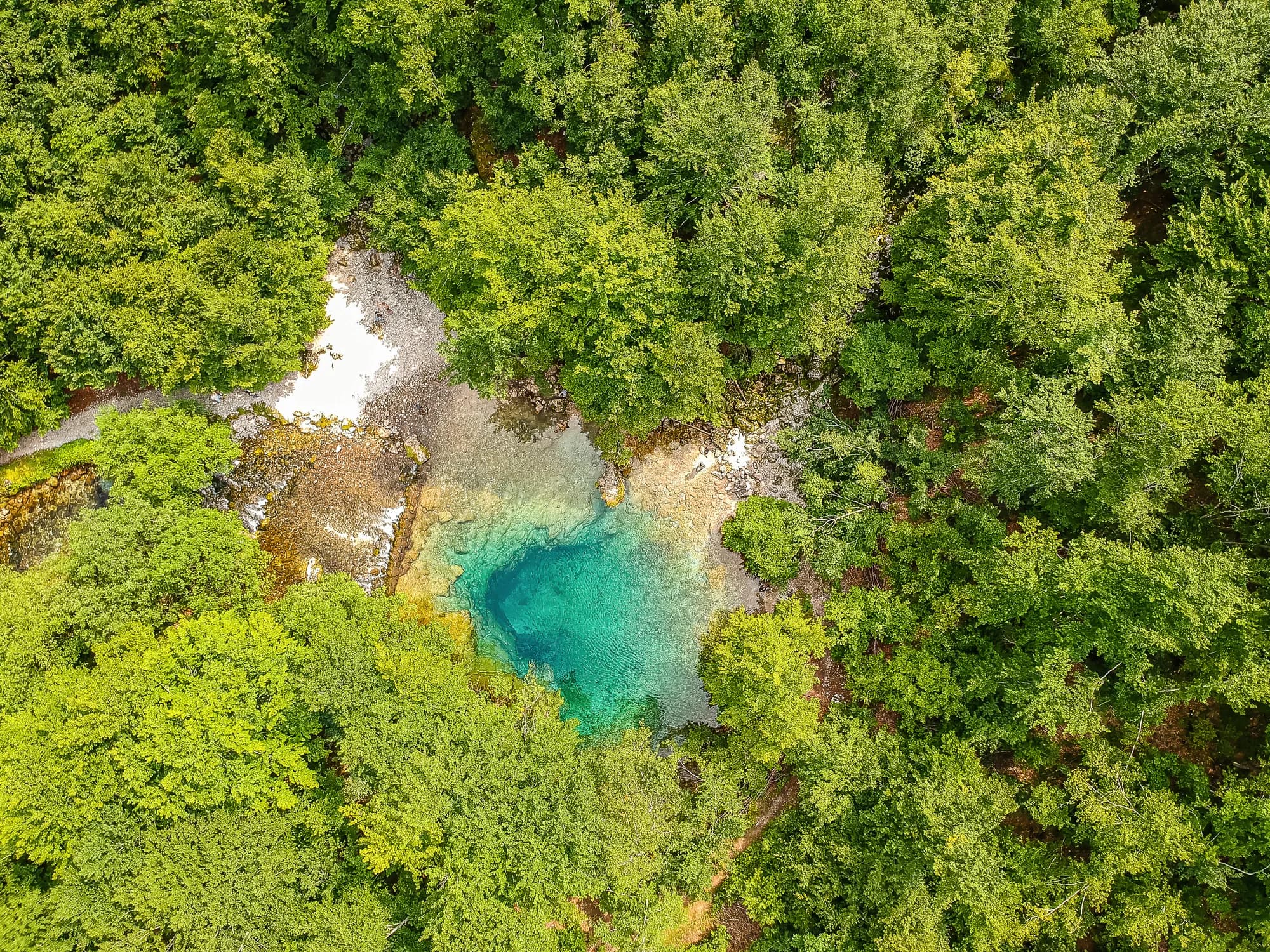
0 accommodations available
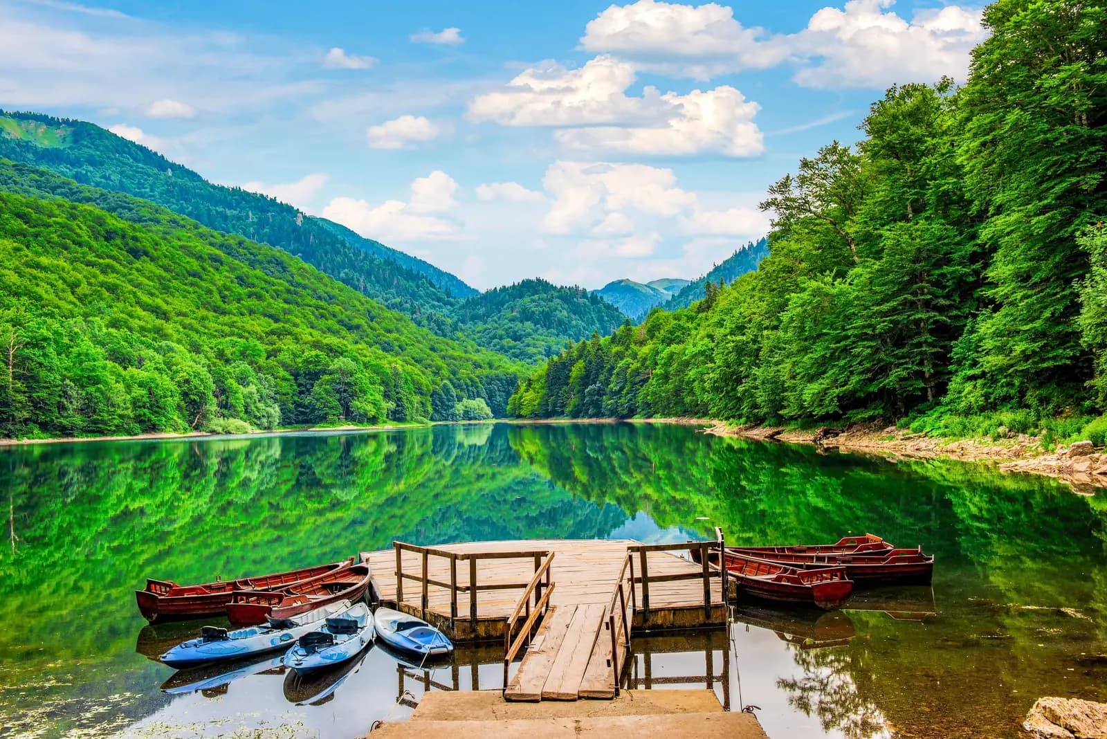
Biogradsko Lake sits at 1,094 metres in the heart of Biogradska Gora National Park, in the Bjelasica massif of northeastern Montenegro. The lake is glacial in origin, roughly circular, and ringed so closely by forest that on still mornings the water holds a full reflection of the trees. It is the centrepiece of a park that protects something genuinely rare: one of the last remaining tracts of primeval forest in Europe, where beech, maple, elm, fir and sycamore have grown undisturbed for centuries and the tallest specimens exceed 50 metres and 500 years of age. The forest owes its survival to an early act of protection. In the late 19th century the surrounding highlands were set aside as a princely reserve, which spared them the logging that cleared comparable woodland elsewhere in the Balkans, and the area became a national park in 1952. Today the strict reserve covers the core of the valley, and the park as a whole extends up onto Bjelasica's open pastures, taking in several smaller glacial lakes and summits above 2,000 metres. Visiting is straightforward. A level, well-made path circles the lake in about an hour, giving the clearest sense of the old forest with almost no effort, and longer marked trails climb from the shore toward the katuns and ridges above the treeline. There is a campsite and cabin accommodation by the water, rowing boats in summer, and fishing in the lake and the streams that feed it. Wildlife is abundant if rarely obliging — deer, wild boar, and a large bird population through the canopy. The park suits walkers, families, photographers and anyone wanting a short, high-value stop between Kolašin and the north. June to October is the main season, with the beech turning spectacular colour through late September and October. Snow closes the higher trails in winter, though the lake itself remains a striking place to see.
Search thousands of hotels and apartments with live prices.
We may earn a commission from partner links. This helps us keep Montenegro.com free for travelers.
Search hotels, apartments and guest houses with live availability.
We may earn a commission from partner links. This helps us keep Montenegro.com free for travelers.
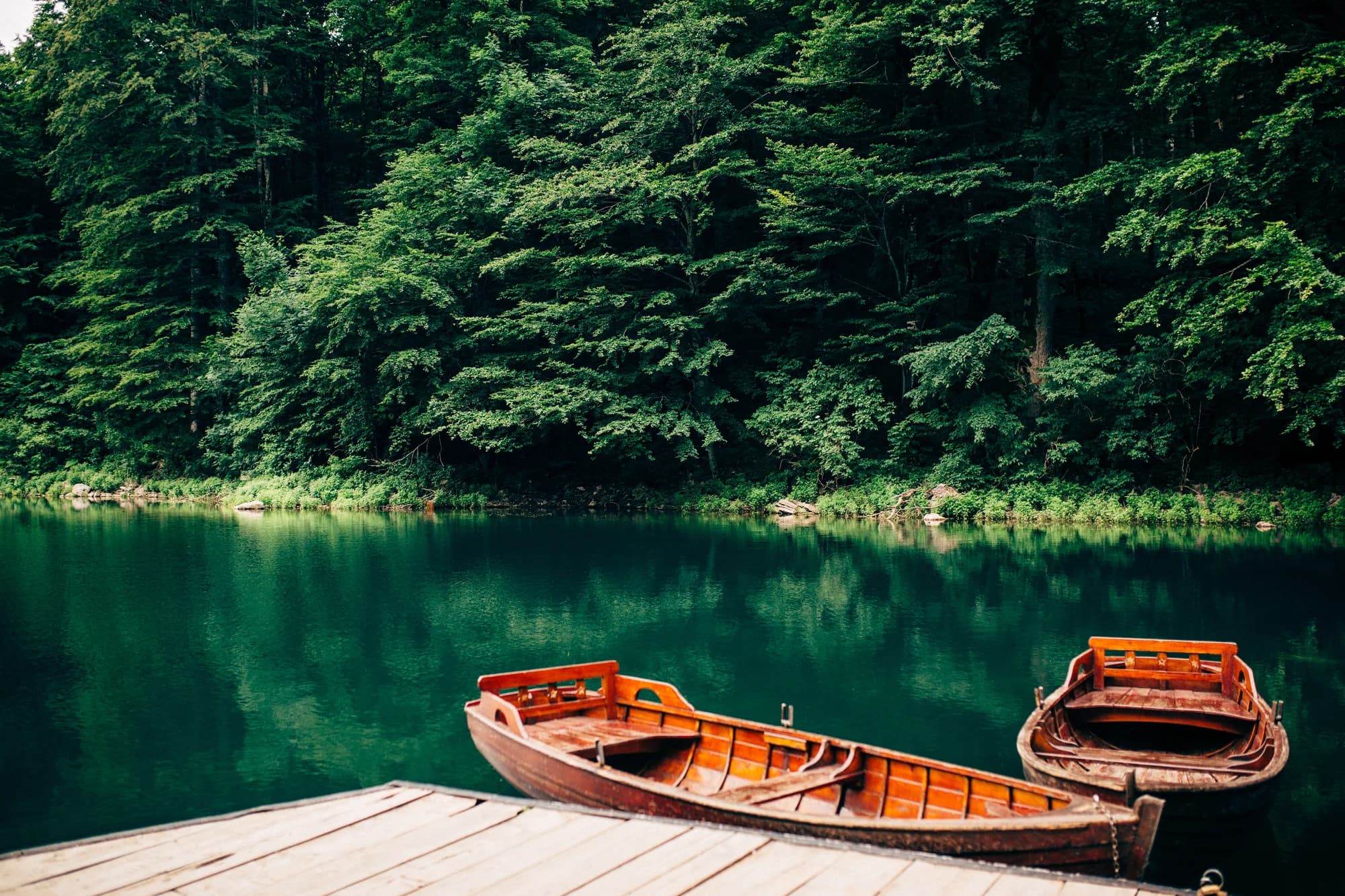
A glacial lake at 1,094 m on the Bjelasica massif, and the heart of Biogradska Gora national park. The lake is small — about 20 hectares — and is ringed by one of the last remaining tracts of primeval forest in Europe.
It has never been logged. Around 1,600 hectares of it were protected as a royal reserve in 1878 by Prince Nikola, and some of the beech, fir and maple are over 500 years old and reach 45 m. The park was formally established in 1952.
In northern Montenegro between Kolasin and Mojkovac, reached by a short road off the main E65. It is about 15 minutes from Kolasin and just over an hour from Podgorica. There is an entrance fee for the park.
Walk the level 3.5 km loop around the lake, which takes about an hour and needs no equipment. Rowing boats are for hire in summer, and marked trails climb from the lake onto Bjelasica, including the ascent of Crna Glava at 2,139 m.
Yes. There are cabins and a campsite by the lake, and katuns higher on the mountain take guests in summer. Kolasin, fifteen minutes away, has hotels and is the usual base outside the peak weeks.
Late spring for water levels and green, and October for the beech turning, which is what the park is best known for. July and August are busiest; the lake path can be crowded at midday, though it empties by evening.
10.9 km by road, about 22 min by car.
The UK Foreign, Commonwealth & Development Office (FCDO) has no advisory against travel to Montenegro; it last reviewed its guidance on 13 August 2026. That is their assessment of the country as a whole, not ours and not a judgement about Biogradsko Jezero, so read it yourself before you travel. The emergency number in Montenegro is 112.
The nearest places to Biogradsko Jezero, at their true positions — Bistrica is about 28 km away in a straight line.
Schematic. Positions and straight-line distances from the coordinates we hold for each place; mountain roads make the drive longer. Coastline and Lake Skadar © OpenStreetMap contributors.
Best time: June · July · September
| Place | By road | Driving |
|---|---|---|
| Mojkovac | 10.9 km | about 22 min |
| Kolašin | 20.7 km | about 34 min |
| Mateševo | 28.8 km | about 44 min |
| Tomaševo | 37.5 km | about 1 h 1 min |
| Podgorica | 77.3 km | about 1 h 27 min |
| Budva | 136.3 km | about 2 h 43 min |
| Kotor | 148.2 km | about 2 h 55 min |
Road distances routed over OpenStreetMap data, © OpenStreetMap contributors. Driving times are free-flow and take no account of summer traffic or a queue at the ferry ramp.