National park · Prokletije · 2,535 m
Prokletije
Nacionalni park Prokletije
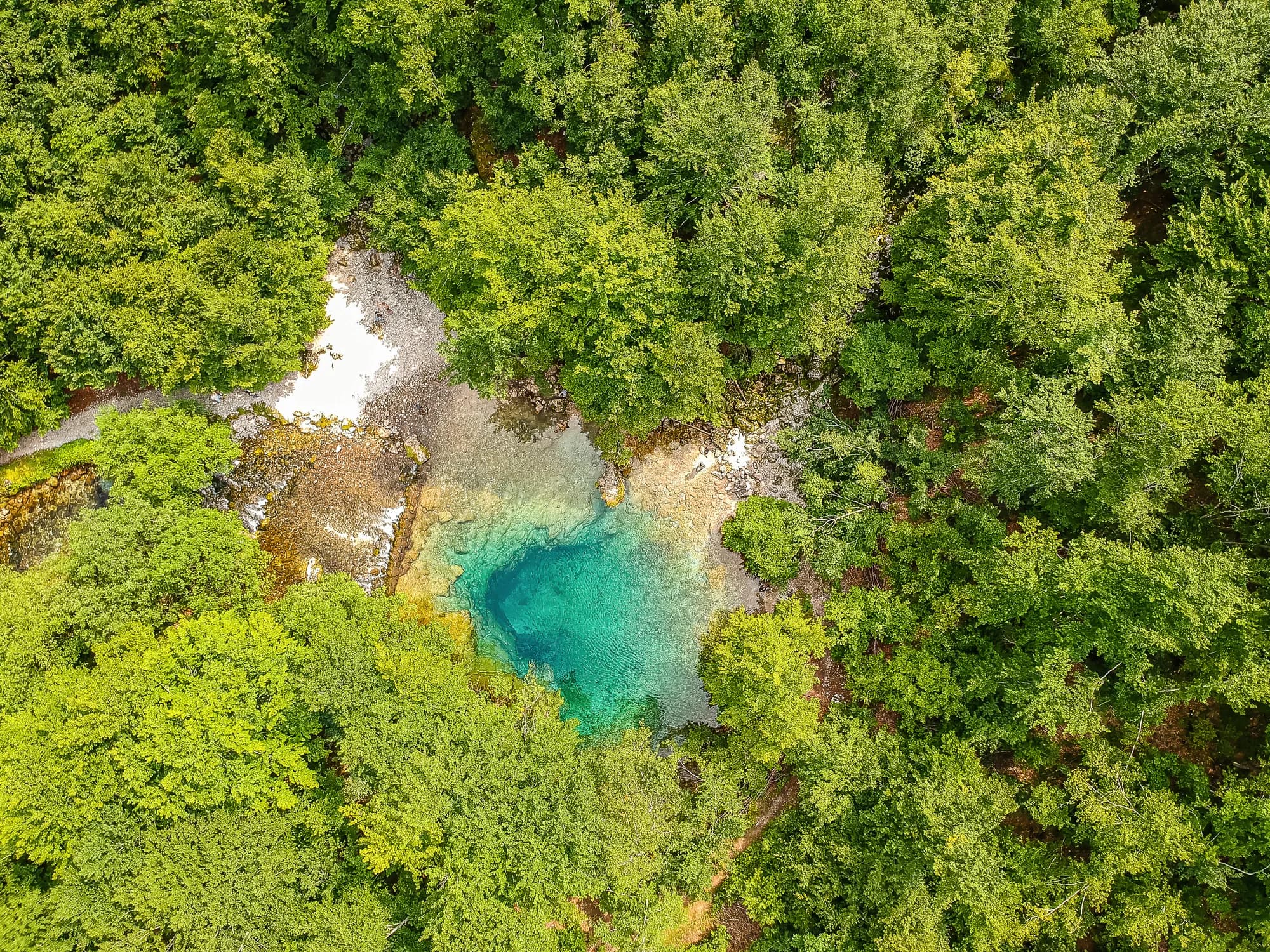
Our verdict
The most alpine ground in the country and the least visited: limestone walls above the Grebaje and Ropojana valleys, and Montenegro’s highest summit, Zla Kolata at 2,535 m, on the Albanian border. It looks nothing like the rest of Montenegro and the walking here is a grade harder than Durmitor.
The honest part
This is a border zone and the high ridges are the frontier. There is no phone signal in the valleys. Routes are marked but the marking is sparser than on Durmitor, weather moves in fast off the Albanian side, and the nearest help is a long way down.
When to come
Late June to September. The valleys hold snow later than their altitude suggests and the record here shows 30 cm of base on a third of April days.
- Summit day
- Day hike
- Wildflowers
- Views
- Dark skies
Where these are
How far, and how much up
No single route: a park’s coordinate is the middle of a boundary rather than somewhere anyone walks to. The routes are on its summits’ own pages.
When the snow lies
Prokletije is usually clear of a 30 cm base from May to Nov. Outside that window, plan for snow on the ground.
Across the record the ground came reliably under 5 cm around April 17 and went back under snow around November 27. Those are medians of eleven years, not a promise about this one.
| Month | Over 1 cm | Over 30 cm base | Mean depth | Daytime high |
|---|---|---|---|---|
| Jan | 95% | 71% | 50 cm | -1.5 °C |
| Feb | 96% | 72% | 65 cm | 0.8 °C |
| Mar | 91% | 59% | 63 cm | 2.9 °C |
| Apr | 62% | 33% | 35 cm | 7.3 °C |
| May | 11% | 4% | 3 cm | 12.1 °C |
| Jun | — | — | — | 17.8 °C |
| Jul | — | — | — | 20.8 °C |
| Aug | — | — | — | 21.0 °C |
| Sep | — | — | — | 16.2 °C |
| Oct | 7% | — | — | 11.5 °C |
| Nov | 29% | — | 3 cm | 6.3 °C |
| Dec | 83% | 31% | 20 cm | 1.1 °C |
The winters vary more than any average suggests. Across 10 winters Prokletije carried a 30 cm base for a median of 96 days: 0 in 2023 and 140 in 2017. Eleven winters is a record, not a climate, and nothing here is a trend.
| Winter | Days over 30 cm | Deepest |
|---|---|---|
| 2015–16 | 30 | 46 cm |
| 2016–17 | 72 | 71 cm |
| 2017–18 | 140 | 183 cm |
| 2018–19 | 113 | 118 cm |
| 2019–20 | 4 | 32 cm |
| 2020–21 | 136 | 159 cm |
| 2021–22 | 139 | 106 cm |
| 2022–23 | 43 | 69 cm |
| 2023–24 | — | 29 cm |
| 2024–25 | 96 | 84 cm |
Temperatures are corrected to 1,693 m, the terrain height at the point we query; the summit is 2,535 m. Snow depth is not corrected — it is a grid cell about nine kilometres across, so read it as the massif rather than the summit.
Reanalysis from ERA5-Land (Copernicus), served by Open-Meteo.
Prokletije, in facts
The mountain
| Summit | 2,535 mZla Kolata, OSM node (ele 2535) — the highest point in Montenegro |
|---|---|
| Massif | Prokletije |
| Kind | National park |
| Record height | 1,693 mThe elevation the temperature record is corrected to. The summit is 2,535 m. |
Getting up it
| Trailhead | Gusinje and Plav for the valleys; Grebaje and Ropojana for the walls |
|---|---|
| Difficulty | A hike |
| Road | Sealed to Gusinje; gravel up the valleys |
| Parking | Free |
| Bus | Plav and Gusinje are served from Podgorica |
| Marked route | Yes |
Up there
| Hut | Several kata and mountain houses in the Grebaje and Ropojana valleys |
|---|---|
| Water | Springs mapped within 4 km |
| Food | At the hut |
| Toilets | Not checked |
| Shelter | Not checked |
| Mobile signal | No |
The park
| Area | 166.3 km²Measured from OpenStreetMap relation 13996294. Commonly quoted as 165 km², which agrees. |
|---|---|
| Entry | Charged — the park is tagged fee=yes in OpenStreetMap and the operator publishes a price list. We have not verified the current figure. |
Rules worth knowing
- A border zone: the Albanian frontier runs along the high ridges and crossing it on foot is regulated
- Drone and commercial filming require written permission from the park authority
Hazards
- Border zone on the high ridges
- No mobile signal in the valleys
- Rockfall below the walls
Facts last checked against their sources on September 30, 2026.
Where these facts come from
- OpenStreetMap natural=spring and amenity=drinking_water nodes within 4 km for the water field
- OpenStreetMap relation 13996294 for the boundary, area and the fee tag
- Zla Kolata elevation from OpenStreetMap peak node (Q2720697)
- Our Gusinje guide
- Open-Meteo ERA5-Land archive 2015–2025 for the snow and temperature record
Photographs
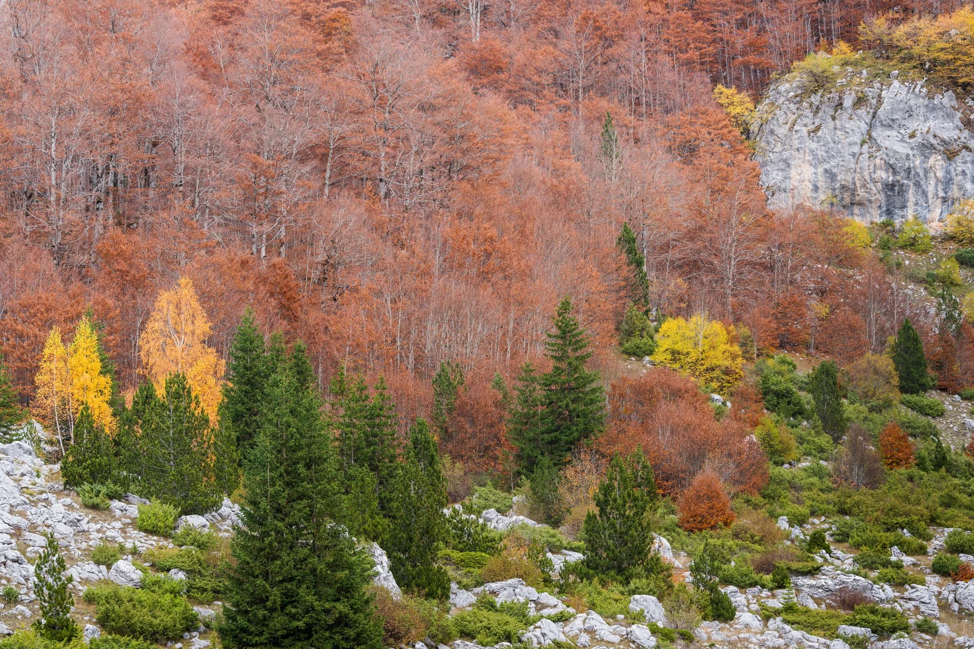
Meadow and limestone in Prokletije 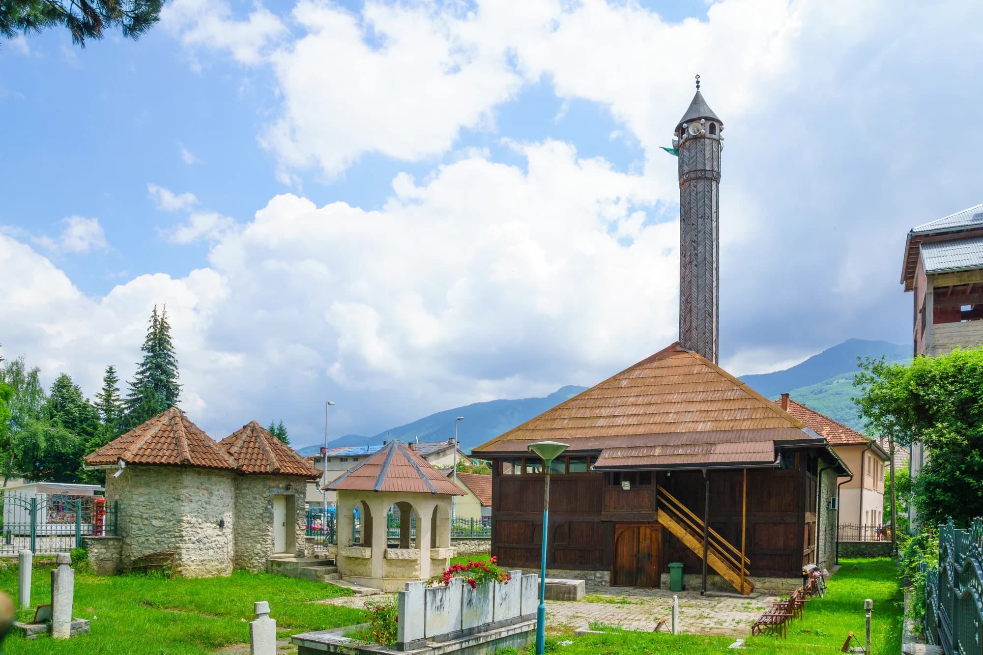
The valley floor at Gusinje
