Parque nacional · Prokletije · 2535 m
Prokletije
Nacionalni park Prokletije
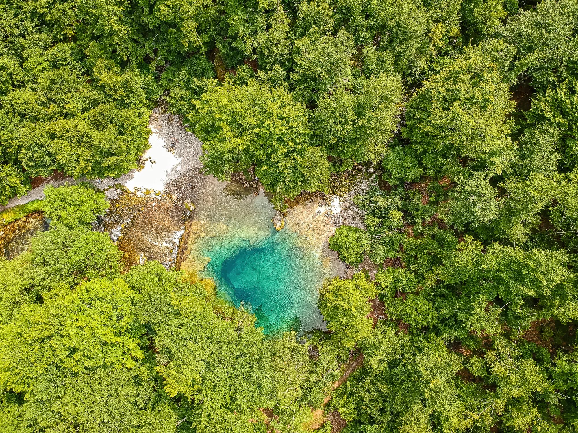
Nuestro veredicto
El terreno más alpino del país y el menos visitado: paredes calizas sobre los valles de Grebaje y Ropojana, y la cumbre más alta de Montenegro, Zla Kolata, de 2.535 m, en la frontera con Albania. No se parece en nada al resto de Montenegro y aquí las caminatas son un grado más difíciles que en Durmitor.
La parte honesta
Es una zona fronteriza y las crestas altas son la frontera. No hay cobertura telefónica en los valles. Las rutas están señalizadas, pero la señalización es más escasa que en Durmitor, el tiempo cambia deprisa desde el lado albanés y la ayuda más cercana queda muy abajo.
Cuándo ir
De finales de junio a septiembre. Los valles conservan la nieve más tiempo de lo que sugiere su altitud, y los registros muestran aquí una base de 30 cm en un tercio de los días de abril.
- Día de cumbre
- Ruta de un día
- Flores de montaña
- Vistas
- Cielo oscuro
Dónde están
Cuánto hay, y cuánto se sube
No hay una ruta única: la coordenada de un parque es el centro de un límite, no un sitio al que se camine. Las rutas están en las páginas de sus cumbres.
Cuándo hay nieve
En Prokletije la base de 30 cm suele haber desaparecido de may a nov. Fuera de esa ventana, cuente con nieve en el suelo.
En el registro el suelo quedó de forma fiable por debajo de 5 cm hacia el 17 de abril y volvió a cubrirse hacia el 27 de noviembre. Son medianas de once años, no una promesa sobre este.
| Mes | Más de 1 cm | Base de más de 30 cm | Espesor medio | Máxima diurna |
|---|---|---|---|---|
| ene | 95 % | 71 % | 50 cm | -1.5 °C |
| feb | 96 % | 72 % | 65 cm | 0.8 °C |
| mar | 91 % | 59 % | 63 cm | 2.9 °C |
| abr | 62 % | 33 % | 35 cm | 7.3 °C |
| may | 11 % | 4 % | 3 cm | 12.1 °C |
| jun | — | — | — | 17.8 °C |
| jul | — | — | — | 20.8 °C |
| ago | — | — | — | 21.0 °C |
| sept | — | — | — | 16.2 °C |
| oct | 7 % | — | — | 11.5 °C |
| nov | 29 % | — | 3 cm | 6.3 °C |
| dic | 83 % | 31 % | 20 cm | 1.1 °C |
Los inviernos varían más de lo que sugiere cualquier media. En 10 inviernos Prokletije mantuvo una base de 30 cm una mediana de 96 días: 0 en 2023 y 140 en 2017. Once inviernos son un registro, no un clima, y aquí nada es una tendencia.
| Invierno | Días con más de 30 cm | Máximo |
|---|---|---|
| 2015–16 | 30 | 46 cm |
| 2016–17 | 72 | 71 cm |
| 2017–18 | 140 | 183 cm |
| 2018–19 | 113 | 118 cm |
| 2019–20 | 4 | 32 cm |
| 2020–21 | 136 | 159 cm |
| 2021–22 | 139 | 106 cm |
| 2022–23 | 43 | 69 cm |
| 2023–24 | — | 29 cm |
| 2024–25 | 96 | 84 cm |
Las temperaturas están corregidas a 1693 m, la altura del terreno en el punto que consultamos; la cumbre está a 2535 m. El espesor de nieve no está corregido: es una celda de unos nueve kilómetros, así que léalo como el macizo y no como la cumbre.
Reanálisis de ERA5-Land (Copernicus), servido por Open-Meteo.
Prokletije, en datos
La montaña
| Cumbre | 2535 mZla Kolata, OSM node (ele 2535) — the highest point in Montenegro |
|---|---|
| Macizo | Prokletije |
| Tipo | Parque nacional |
| Altitud de referencia | 1693 mLa altitud a la que está corregido el registro de temperatura. La cumbre está a 2535 m. |
Cómo subir
| Inicio de la ruta | Gusinje y Plav para los valles; Grebaje y Ropojana para las paredes |
|---|---|
| Dificultad | Una ruta de montaña |
| Carretera | Asfaltada hasta Gusinje; pista de grava valle arriba |
| Aparcamiento | Gratuito |
| Autobús | Plav y Gusinje tienen autobuses desde Podgorica |
| Ruta señalizada | Sí |
Allí arriba
| Refugio | Varias kata y casas de montaña en los valles de Grebaje y Ropojana |
|---|---|
| Agua | Manantiales cartografiados en 4 km |
| Comida | En el refugio |
| Aseos | Sin comprobar |
| Abrigo | Sin comprobar |
| Cobertura móvil | No |
El parque
| Superficie | 166,3 km²Medida a partir de la relación de OpenStreetMap 13996294. Se suele citar como 165 km², lo que coincide. |
|---|---|
| Entrada | Charged — the park is tagged fee=yes in OpenStreetMap and the operator publishes a price list. We have not verified the current figure. |
Normas que conviene conocer
- Zona fronteriza: la frontera albanesa discurre por las crestas altas y cruzarla a pie está regulado
- Los drones y las filmaciones comerciales requieren permiso por escrito de la autoridad del parque
Peligros
- Zona fronteriza en las crestas altas
- Sin cobertura móvil en los valles
- Desprendimientos de rocas bajo las paredes
Datos comprobados por última vez contra sus fuentes el 30 de septiembre de 2026.
De dónde vienen estos datos
- OpenStreetMap natural=spring and amenity=drinking_water nodes within 4 km for the water field
- OpenStreetMap relation 13996294 for the boundary, area and the fee tag
- Zla Kolata elevation from OpenStreetMap peak node (Q2720697)
- Our Gusinje guide
- Open-Meteo ERA5-Land archive 2015–2025 for the snow and temperature record
Fotografías
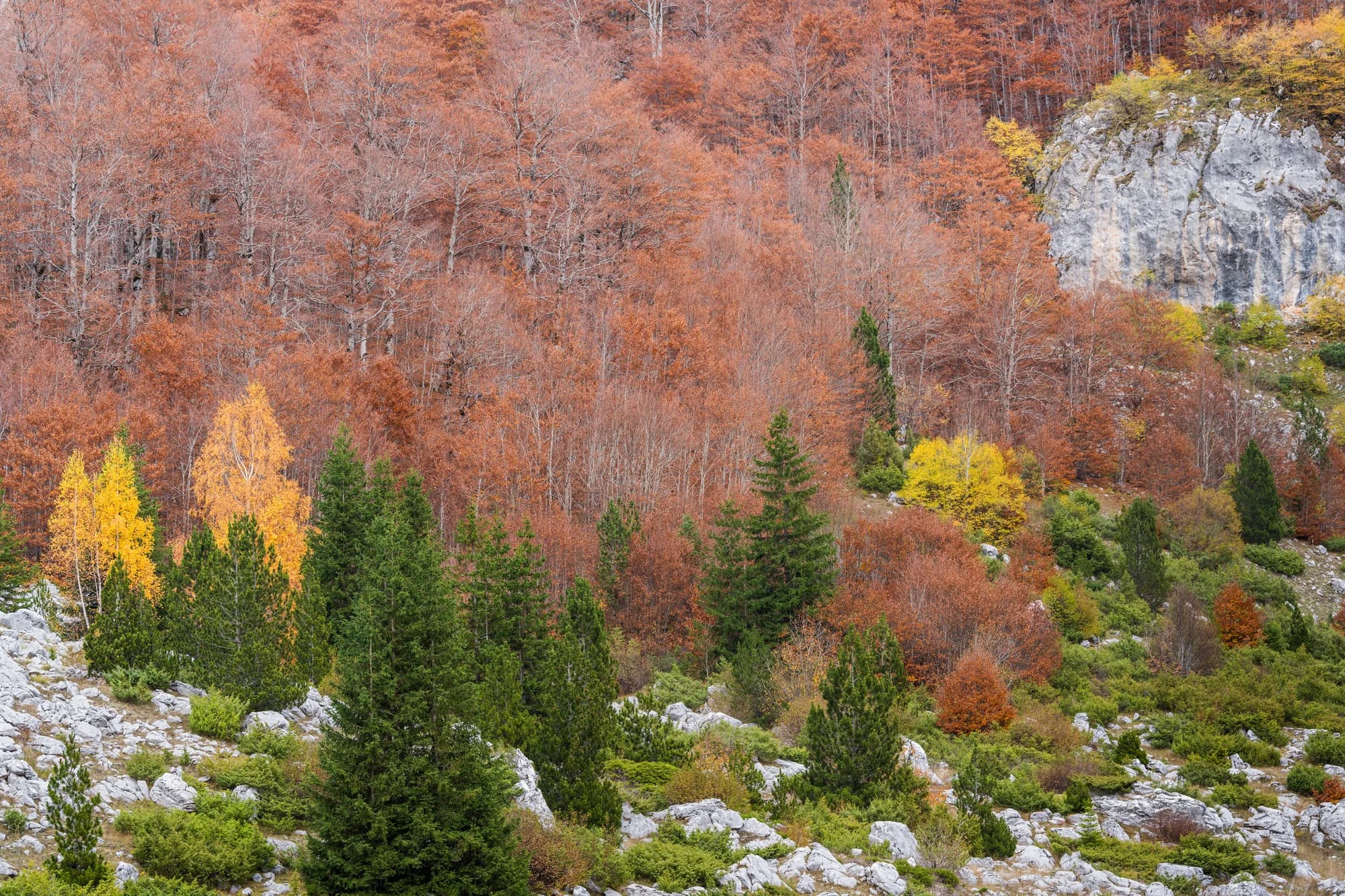
Prado y caliza en Prokletije 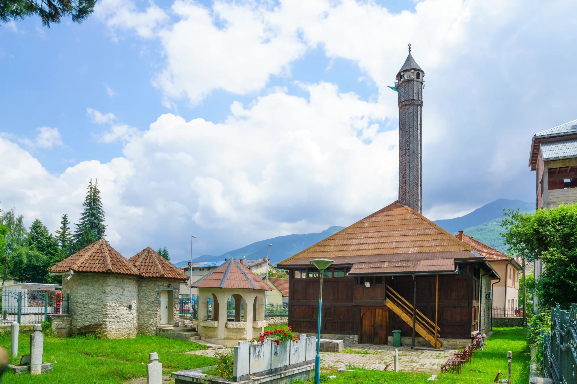
El fondo del valle en Gusinje
