Summit · Prokletije · 2,535 m
Zla Kolata
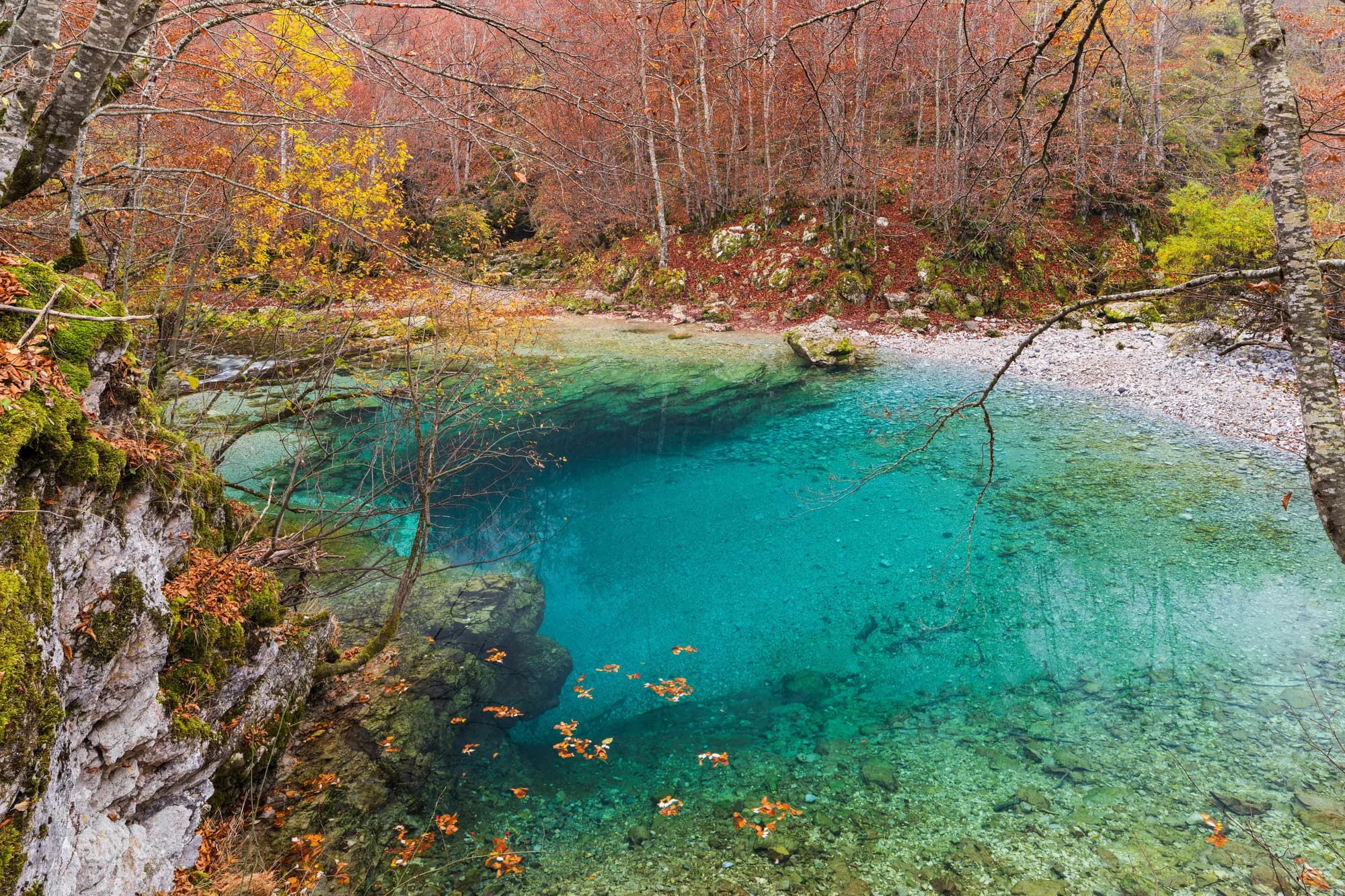 Nearby, not the summit
Our verdict
The highest point in Montenegro, at 2,535 m, on the ridge that forms the Albanian border above the Ropojana valley. It is a long day from Gusinje and it sees a small fraction of the traffic that Bobotov Kuk does.
The honest part
The summit ridge is the international frontier and the neighbouring summit, Maja Kollatës, is higher again at 2,552 m but stands on the Albanian side. There is no phone signal in the valley or on the mountain, and the walk-in is longer than the altitude difference suggests.
When to come
Late June to September. This is the snowiest ground in the atlas — the record shows a 30 cm base on more than 40% of April days and it still appears in May.
- Summit day
- Views
Where these are
How far, and how much up
From the nearest place you can park, Zla Kolata is 6.35 km of walking and 1,686 m of climbing, starting at 946 m.
- Distance
- 6.35 km
- Ascent
- 1,686 m
- From
- 946 m
- To
- 2,418 m
Measured along OpenStreetMap’s own path network from the nearest node you can drive to, with elevations from the Copernicus DEM sampled at a hundred points. Ascent is the total climb including the dips, not the difference between the two ends. A 90 m model smooths short steep steps, so treat it as a floor.
No walking time, on purpose. Distance and ascent are measurable; a pace belongs to the walker. Every “four to five hours” on the web is somebody’s guess wearing a number’s clothes.
The way up also loses 214 m, which a net figure would hide.
When the snow lies
Zla Kolata is usually clear of a 30 cm base from May to Nov. Outside that window, plan for snow on the ground.
Across the record the ground came reliably under 5 cm around April 27 and went back under snow around November 24. Those are medians of eleven years, not a promise about this one.
| Month | Over 1 cm | Over 30 cm base | Mean depth | Daytime high |
|---|---|---|---|---|
| Jan | 97% | 74% | 61 cm | -6.3 °C |
| Feb | 99% | 75% | 79 cm | -4.0 °C |
| Mar | 96% | 73% | 80 cm | -1.9 °C |
| Apr | 78% | 41% | 50 cm | 2.5 °C |
| May | 23% | 8% | 8 cm | 7.3 °C |
| Jun | 1% | — | — | 13.0 °C |
| Jul | — | — | — | 16.0 °C |
| Aug | — | — | — | 16.2 °C |
| Sep | — | — | — | 11.4 °C |
| Oct | 9% | — | 1 cm | 6.7 °C |
| Nov | 33% | 2% | 4 cm | 1.4 °C |
| Dec | 91% | 34% | 26 cm | -3.7 °C |
The winters vary more than any average suggests. Across 10 winters Zla Kolata carried a 30 cm base for a median of 104 days: 3 in 2023 and 152 in 2021. Eleven winters is a record, not a climate, and nothing here is a trend.
| Winter | Days over 30 cm | Deepest |
|---|---|---|
| 2015–16 | 57 | 63 cm |
| 2016–17 | 76 | 73 cm |
| 2017–18 | 147 | 209 cm |
| 2018–19 | 121 | 128 cm |
| 2019–20 | 12 | 43 cm |
| 2020–21 | 146 | 196 cm |
| 2021–22 | 152 | 129 cm |
| 2022–23 | 71 | 92 cm |
| 2023–24 | 3 | 35 cm |
| 2024–25 | 104 | 92 cm |
Temperatures are corrected to 2,418 m, the terrain height at the point we query; the summit is 2,535 m. Snow depth is not corrected — it is a grid cell about nine kilometres across, so read it as the massif rather than the summit.
Reanalysis from ERA5-Land (Copernicus), served by Open-Meteo.
Zla Kolata, in facts
The mountain
| Summit | 2,535 mOpenStreetMap peak node, ele 2535 (Q2720697) |
|---|---|
| Massif | Prokletije |
| Kind | Summit |
| Record height | 2,418 mThe elevation the temperature record is corrected to. The summit is 2,535 m. |
Getting up it
| Trailhead | The Ropojana valley above Gusinje |
|---|---|
| Difficulty | Scrambling |
| Road | Gravel up the valley |
| Parking | Roadside |
| Bus | Not checked |
| Marked route | Yes |
Up there
| Hut | None mapped within 8 km |
|---|---|
| Water | Springs mapped within 4 km |
| Food | None |
| Toilets | No |
| Shelter | No |
| Mobile signal | No |
Hazards
- International border along the summit ridge
- No mobile signal
- Long walk-in with no shelter
Facts last checked against their sources on September 30, 2026.
Where these facts come from
- OpenStreetMap natural=spring and amenity=drinking_water nodes within 4 km for the water field
- OpenStreetMap tourism=alpine_hut and wilderness_hut nodes, searched country-wide for the nearest mountain hut
- OpenStreetMap peak node for the elevation and position
- The neighbouring Maja Kollatës elevation also from OpenStreetMap
- Open-Meteo ERA5-Land archive 2015–2025 for the snow and temperature record
