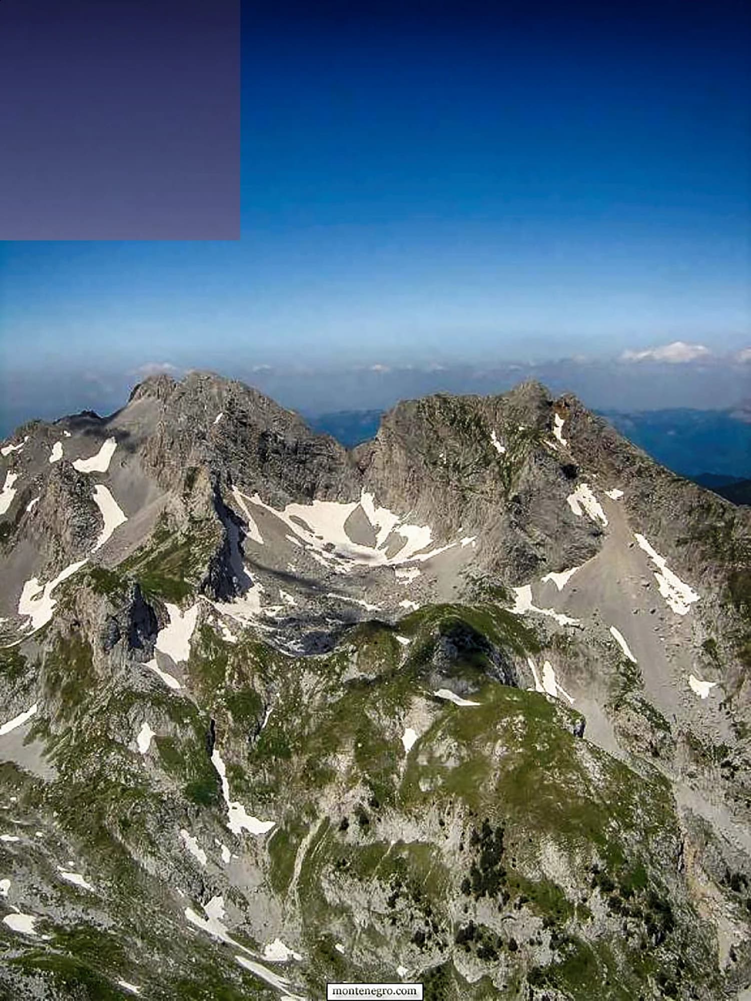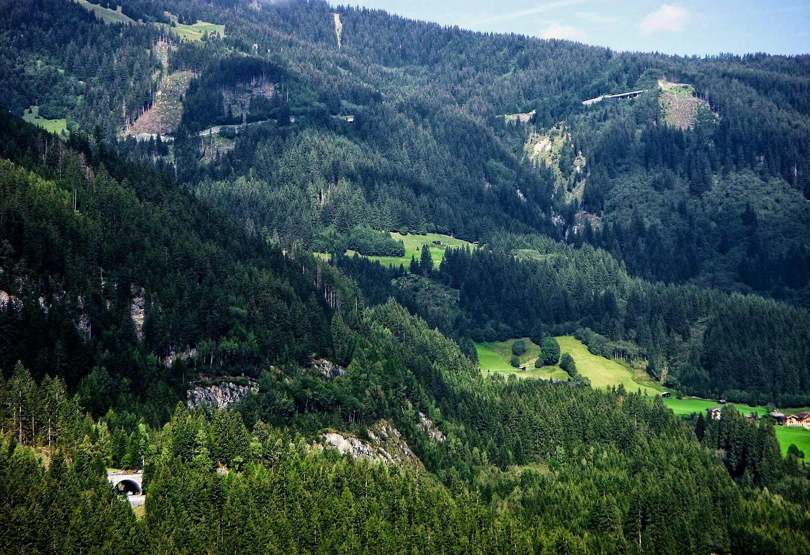
A town of 988 people where the Zlorečica ends in the Lim — urban only since 1853, and the road-head for the Komovi.
Andrijevica je mali planinski gradić na sjeveroistoku Crne Gore koji predstavlja glavnu kapiju ka spektakularnom planinskom masivu Komovi, jednom od najmanje posjećenih alpskih predjela u zemlji. Okružena netaknutim šumama, brzim rijekama i livadama punim divljeg cvijeća, varošica je raj za planinare, alpiniste i sve one koji tragaju za neokrnjenom prirodom. Istorijski sjedište sopstvene oblasti, Andrijevica čuva ponosan lokalni identitet i toplu gostoljubivost. Rijeke Zlorječica i Lim pružaju izvrstan ulov pastrmke, dok su okolne visoravni dom tradicionalnih katuna. Za avanturistički nastrojene putnike koji žele da otkriju Crnu Goru netaknutu masovnim turizmom, Andrijevica nudi rijedak i ispunjavajući doživljaj u podnožju Komova.
1 smještaj u gradu Andrijevica
The north empties
Population change 2011 to 2023 — the five steepest losses, and the capital
The steepest declines in the country are all northern, all mountain. Podgorica gained 21,000 people in the same twelve years — five times everyone Andrijevica has left.
The smallest municipalities in Montenegro
Residents by municipality, 2023 census
Andrijevica is younger than it looks. The church came first, twice; the town only began growing under it in the 1850s. Widths are to scale.
A day at 740 metres
The mountain sets the clock; the town waits for it
Pretražite hiljade hotela i apartmana sa aktuelnim cijenama.
Možemo zaraditi proviziju putem partnerskih linkova. To nam pomaže da zadržimo Montenegro.com besplatnim za putnike.
Pretražite hotele, apartmane i pansione sa trenutnom dostupnošću.
Možemo zaraditi proviziju putem partnerskih linkova. To nam pomaže da zadržimo Montenegro.com besplatnim za putnike.
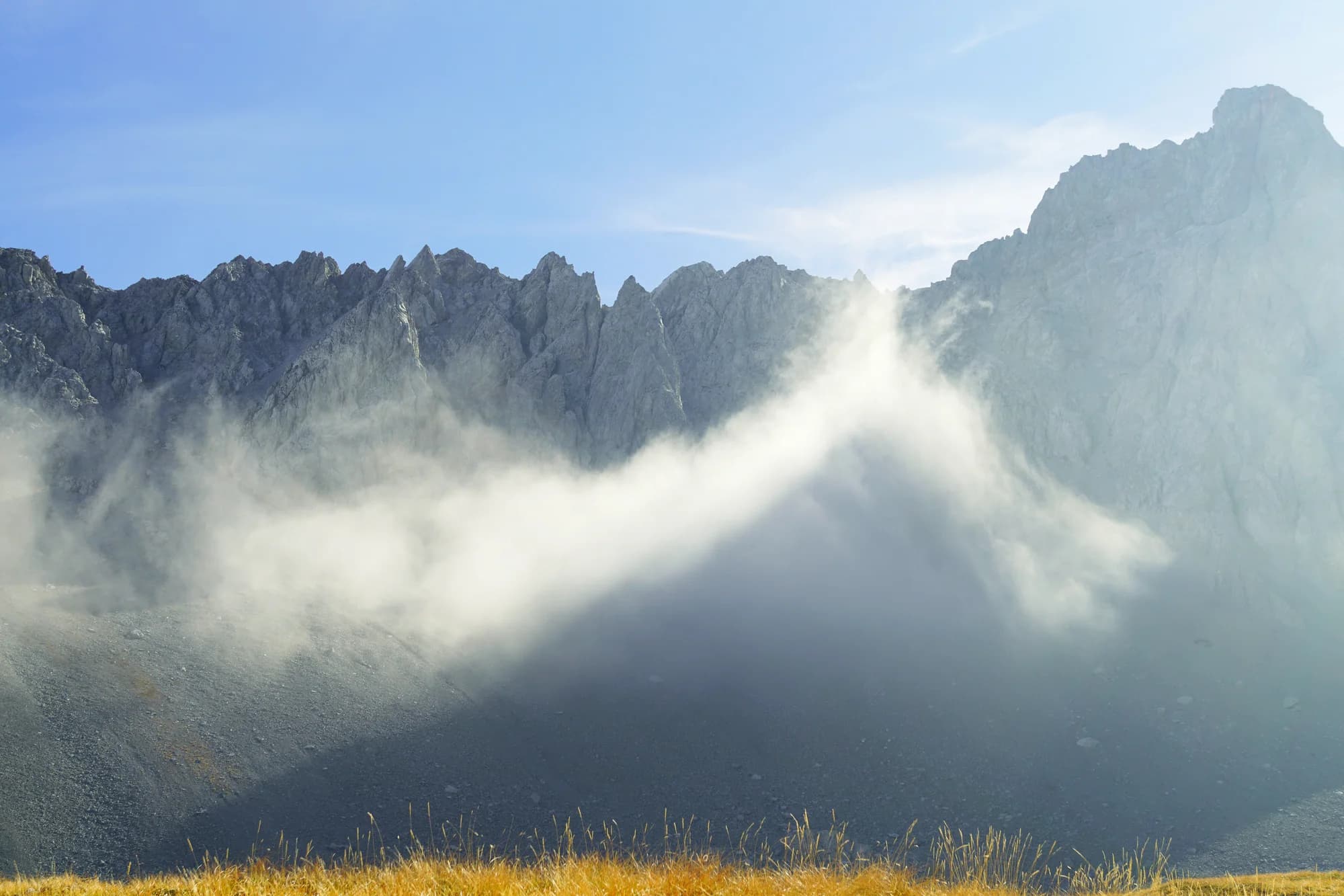
Fourth-smallest of the country’s twenty-five municipalities — and it still runs a town hall, a school and a third-division football club, FK Komovi.
Tourist Organisation of Andrijevica; Wikipedia (en); MONSTAT censuses.
Andrijevica leži tamo gdje se Zlorečica uliva u Lim, na sjeveroistoku Crne Gore, između Komova i Bjelasice. Malo je mjesto — nekoliko hiljada stanovnika u cijeloj opštini — oko dva sata vožnje od Podgorice.
Kao kapija Komova. Dva rogolika vrha, Kom Vasojevićki i Kom Kučki, dižu se južno od varoši i spadaju u najprepoznatljivije planine u državi. Većina onih koji dolaze ovamo ide upravo prema njima.
Mogu. Uobičajeno se autom stiže do katuna Štavna na oko 1.800 m, pa dalje pješke; Kom Vasojevićki je hod s kratkim penjanjem na vrhu, a Kom Kučki je teži. Oba su ljeti jednodnevni izleti iz varoši.
Ljetnje naselje pastirskih koliba na visokim pašnjacima, naseljeno od juna do septembra dok stoka pase. Nekoliko njih oko Andrijevice još radi, a neki primaju i goste, što je najneposredniji način da se vidi kako se ove planine koriste.
Od juna do septembra zbog planina — katuni su otvoreni, staze prohodne, a livade najljepše. Zima je ovdje duga i teška, i dok varoš ostaje dostupna, visinske ture nisu.
Planinarima vrijedi, a drugima teško. Ima crkvu, rijeku i nekoliko kafana; razlog dolaska su Komovi iznad nje. Spojite je s Plavom i Gusinjem za sedmicu u istočnim planinama.
Ne — najbliži je aerodrom Podgorica (TGD), 90 km putem.
80 km putem, oko 1 h 48 min vožnje.
Britansko Ministarstvo inostranih poslova (FCDO) nema upozorenje protiv putovanja u Crnu Goru; svoje smjernice je posljednji put revidiralo 13. avgusta 2026. To je njihova procjena države u cjelini, ne naša i ne ocjena o ovom gradu, pa je pročitajte sami prije puta. Broj za hitne slučajeve u Crnoj Gori je 112.
Andrijevica u brojkama
a terrace forty metres above the Lim, mountains on three sides
2023 census, the town itself — 3,910 in the whole municipality
it ends here, in the Lim — the old manuscripts call it Dobra rijeka, the good river
the Komovi become a nature park — Andrijevica shares them with Kolašin
Podgorica, about an hour and three quarters by road
MONSTAT 2023 census · Andrijevica municipality, geographic data · Komovi nature park, 2018 · Tourist Organisation of Andrijevica
Najbliža mjesta mjestu Andrijevica, na svojim stvarnim položajima — Rožaje je udaljeno oko 33 km vazdušnom linijom.
Šematski prikaz. Položaji i udaljenosti mjereni su vazdušnom linijom, prema koordinatama koje imamo za svako mjesto; zbog planinskih puteva vožnja je duža. Podebljana linija označava obalu na dijelu koji prolazi kroz ovaj prikaz. Obala i Skadarsko jezero © OpenStreetMap contributors.
Nekoliko sati
Andrijevica takes an hour. The mountains above it take a week.
Cio dan
The reason to be here: a 2,461-metre summit and a shepherd’s lunch from the same katun.
Vikend
Andrijevica works as a base for the eastern mountains rather than a destination of its own. It has been a staging post since 1878, when it became the administrative centre of the north.
The town
Najbolje za the square, the church terrace above it, and the stop for the Podgorica bus
Štavna
Najbolje za self-catering chalets at the katun under the Komovi — May to November only
The Zlorečica valley
Najbolje za the road upstream to Kralje and Đulići, where the old mills stood
Ko posjećuje Crnu Goru
Udio noćenja stranih gostiju, 2025.
MONSTAT · 2025
Popis stanovništva, opština Andrijevica
The municipality has lost three people in five since 1948 — 10,067 then, 3,910 now. The town itself has not: 923 residents in 1991, 988 in 2023. What emptied was the valley around it, not the square in the middle.
U međuvremenu — 1887
Knjaževac, 1887: Prince Nikola comes to Andrijevica, buys land on the terrace called Radunovac above the town, lays the foundation stone of the church of St Michael the Archangel and donates the money for it. The terrace is renamed Knjaževac — the prince’s place.
The Vasojevići — every rifleman from the neighbourhood pledges one stone block. The church goes up in a single summer, on the model of Morača, with icons and liturgical books brought from Russia through the Slavophile Committee; it is the first church raised in Upper Vasojevići after the village churches were levelled a decade earlier in Mehmed-Ali Pasha’s attack.
Paris: foundation work on the Eiffel Tower begins on 28 January; the ironwork goes up that summer.
Warsaw: on 26 July, Zamenhof’s Unua Libro appears and Esperanto exists.
Today — the church still stands on its terrace above the town, and Knjaževac still holds the gathering on the first of May.
“Every rifleman from the neighbourhood pledged to bring one stone block.”
Tourist Organisation of Andrijevica, on the church of 1887
Prince Nikola bought land on a terrace called Radunovac, laid the foundation stone and donated the money; the terrace was renamed Knjaževac in his honour.
majThe first of May at Knjaževac — the traditional gathering on the church terrace above the town
majLim Regatta — boats set off from Plav on the last weekend of May and come down the river
junVidovdan night football tournament — St Vitus’ Day, 28 June, up the valley at Kralje
julRaspberry Days — the berry harvest festival in town, July, no fixed date
avgVasojevički Kom memorial — August, named for the tribe’s own peak — Kom Vasojevićki, 2,461 m
Lokalni tanjir
The katuns under the Komovi are worked through the warm months — the one at Štavna opens in May and closes in November. What comes down from them is young white cheese and kajmak, cream skimmed and salted until it firms. Eaten with cornbread, it is the whole economy of those pastures on one plate.
Gdje The katun restaurant at Štavna in season; the restaurants in town year-round
Najbolje vrijeme: jun · jul · septembar
| Mjesto | Putem | Vožnja |
|---|---|---|
| Murino | 15,6 km | oko 23 min |
| Berane | 17,2 km | oko 23 min |
| Plav | 24,7 km | oko 34 min |
| Mateševo | 32,7 km | oko 1 h 7 min |
| Podgorica | 80 km | oko 1 h 48 min |
| Budva | 138,9 km | oko 3 h 4 min |
| Kotor | 150,8 km | oko 3 h 16 min |
Udaljenosti putem izračunate na osnovu OpenStreetMap podataka, © OpenStreetMap contributors. Vremena vožnje su bez gužve i ne računaju ljetnji saobraćaj ni čekanje na trajektnoj rampi.