0 accommodations available
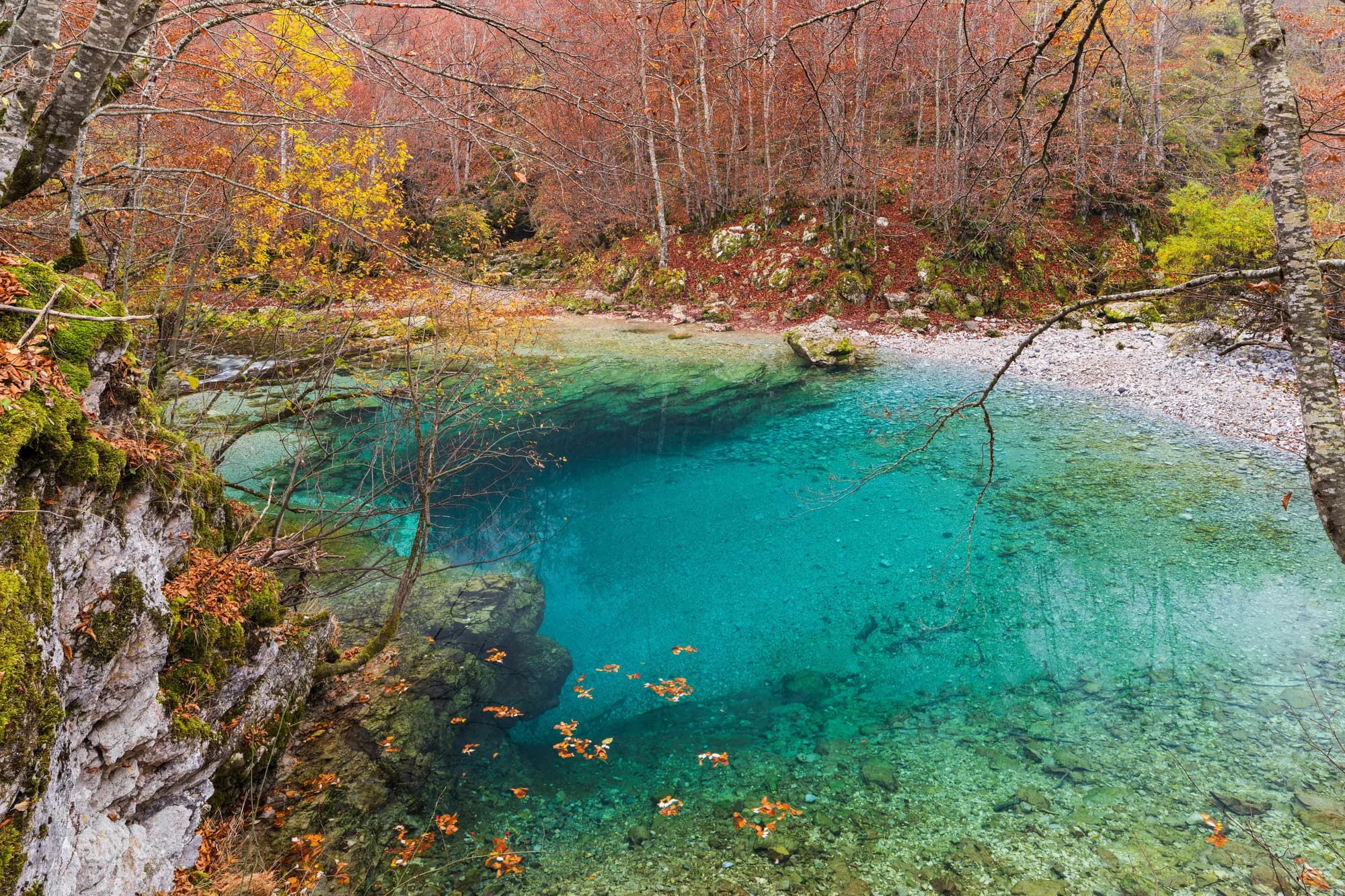
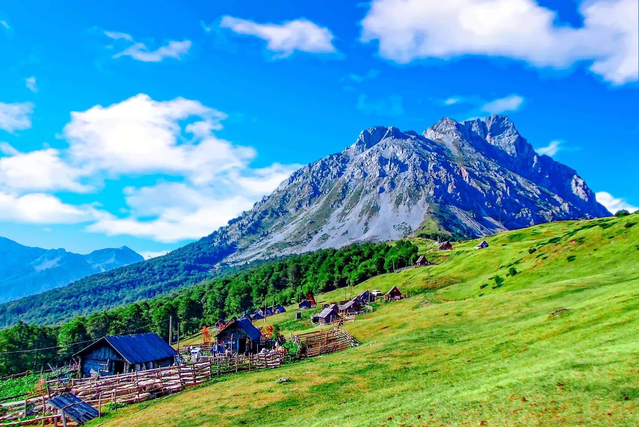
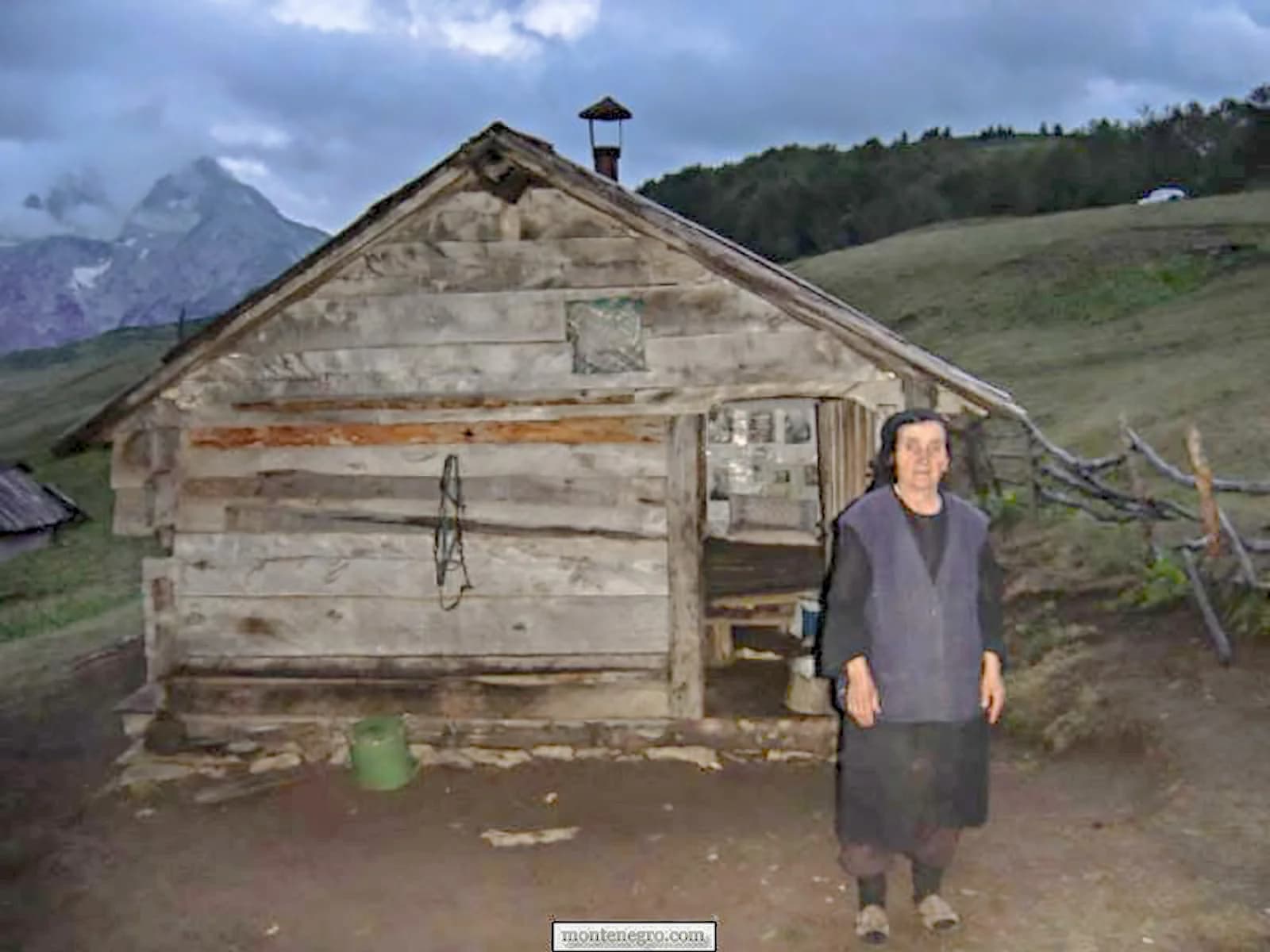
Komovi is a mountain massif in eastern Montenegro, standing between the pastures of Bjelasica and the deep valleys around Andrijevica and Kolašin. Three rock summits rise from a broad shoulder of high grassland — Kom Vasojevićki, Kom Kučki and Kom Ljevoriječki, each of them above 2,400 metres — their bare crowns visible from far across the north. Seen from the meadows below they look less like a range than three separate towers set down on the same plateau. Paths climb from the Štavna and Carine plateaus through open meadows that in June and July are thick with wildflowers, then steepen into rock for the final push. Kom Vasojevićki is the usual choice for hikers, a scramble rather than a climb, and from the top the view runs over the Prokletije wall on the Albanian border, across the Tara valley and, on clear days, as far as Durmitor. Kom Kučki demands considerably more of anyone attempting it. What sets Komovi apart from Montenegro's better-known peaks is the katuns. Shepherd settlements of low wooden and stone huts still fill the summer pastures, occupied from roughly June to September while the herds are up high, and some now take guests and serve milk, cheese and kajmak made a few metres away. Nights are cold even in August, the sky is unusually dark, and the silence is complete. Come between late June and late September, when the snow has gone from the approaches and the katuns are alive; outside that window the tracks are hard going and the huts stand empty. The mountain suits hikers content with simple accommodation and a long day on foot, and anyone who wants alpine Montenegro without the traffic of Durmitor. Bring layers and water — the karst holds none on the surface.
Search thousands of hotels and apartments with live prices.
We may earn a commission from partner links. This helps us keep Montenegro.com free for travelers.
Search hotels, apartments and guest houses with live availability.
We may earn a commission from partner links. This helps us keep Montenegro.com free for travelers.
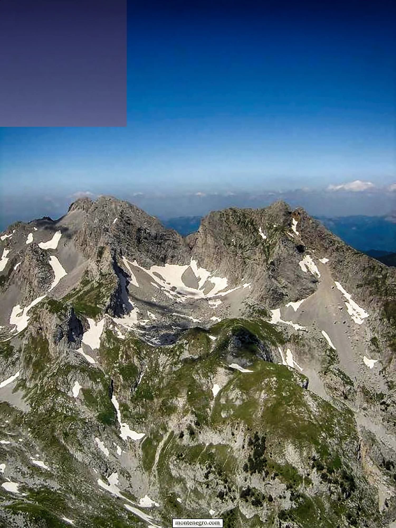
A compact group of horn-shaped peaks in eastern Montenegro, between Andrijevica, Kolasin and the Kuci highlands. Kom Kucki is the highest at 2,487 m, with Ljevorecki Kom at 2,469 m and Kom Vasojevicki at 2,461 m.
Because they rise as isolated rock horns out of rolling high pasture rather than as a continuous ridge. The contrast between the smooth grazing land and the abrupt towers above it is what makes the Komovi instantly recognisable.
Most walkers drive to the Stavna katun at around 1,800 m, above Andrijevica, and start from there. Kom Vasojevicki is the usual first objective: two to three hours up, with a short exposed scramble to reach the summit.
Kom Kucki. It is the highest and the approach is longer and rougher, with sections that most walkers will want a guide or a rope for. Ljevorecki Kom sits between the two in difficulty and sees far fewer people.
Yes. Eco-katuns at Stavna and elsewhere take guests through the summer, offering beds in shepherds' huts and meals made from what the katun produces. Book ahead: capacity is small and the season is short.
Late June to September. Snow lingers in the gullies well into June, and the katuns only open once the livestock come up. Outside that window the access roads are unreliable and the huts are closed.
The UK Foreign, Commonwealth & Development Office (FCDO) has no advisory against travel to Montenegro; it last reviewed its guidance on 13 August 2026. That is their assessment of the country as a whole, not ours and not a judgement about Komovi, so read it yourself before you travel. The emergency number in Montenegro is 112.
The nearest places to Komovi, at their true positions — Pelev Brijeg is about 25 km away in a straight line.
Schematic. Positions and straight-line distances from the coordinates we hold for each place; mountain roads make the drive longer. Coastline and Lake Skadar © OpenStreetMap contributors.
Best time: June · July · September
SummitKom Kučki2,487 m · 2.1 km · 65% of January days with snow
Ski areaKolašin 14501,750 m · 15 km · 62% of January days with snow
Ski areaKolašin 16002,035 m · 18 km · 62% of January days with snow
National parkBiogradska Gora2,139 m · 25 km · 57% of January days with snow
National parkProkletije2,535 m · 25 km · 71% of January days with snow
SummitZla Kolata2,535 m · 29 km · 74% of January days with snow