0 accommodations available
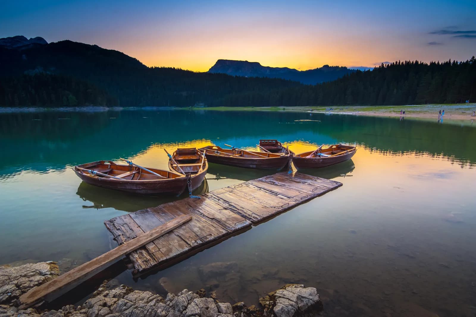
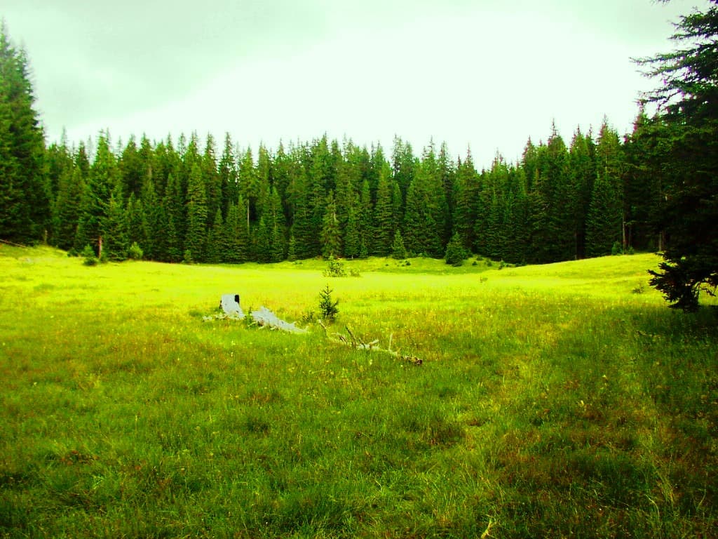
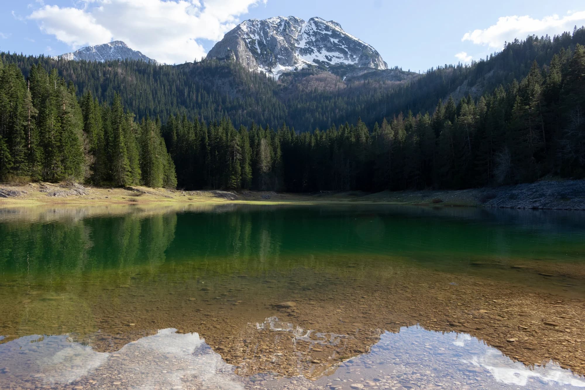
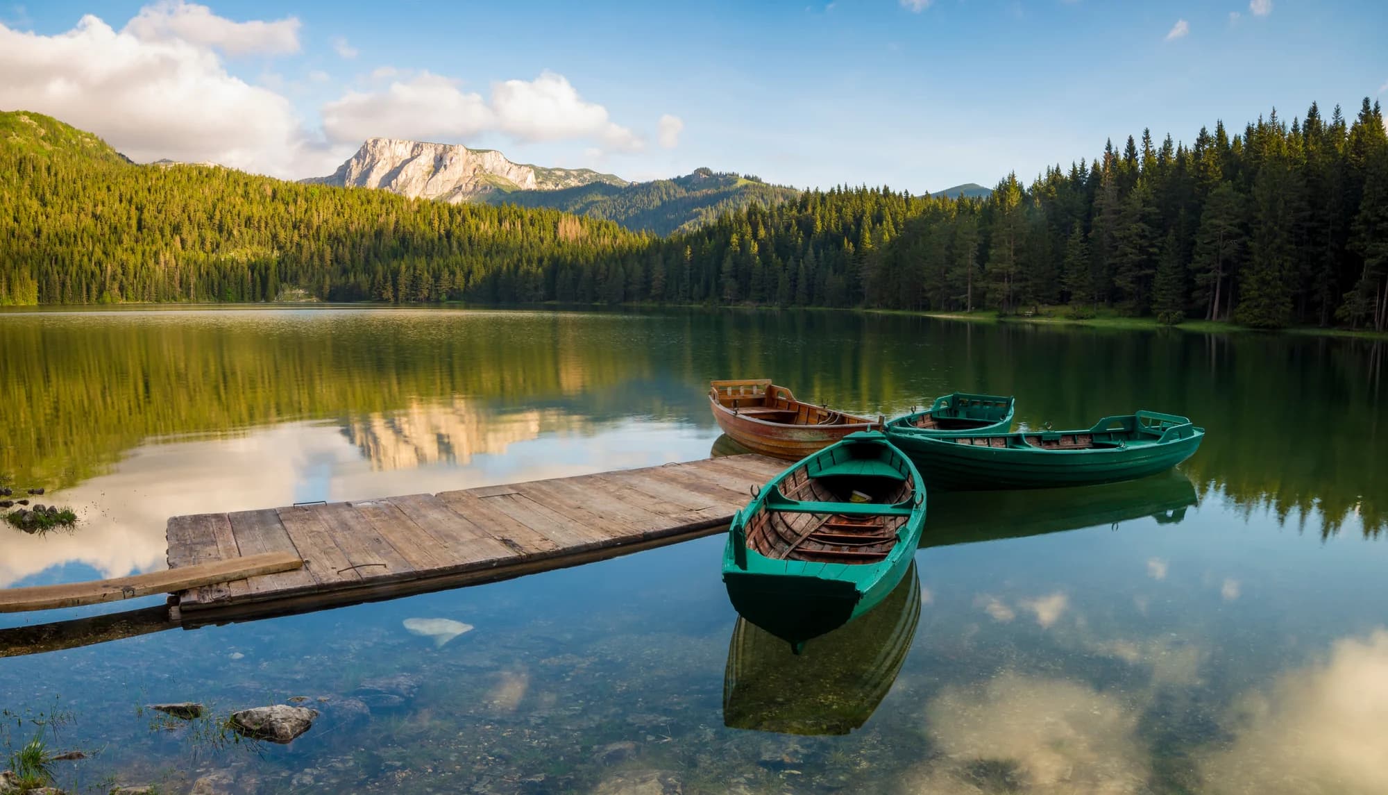
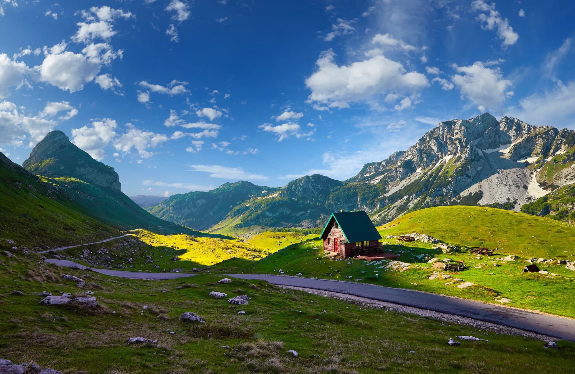
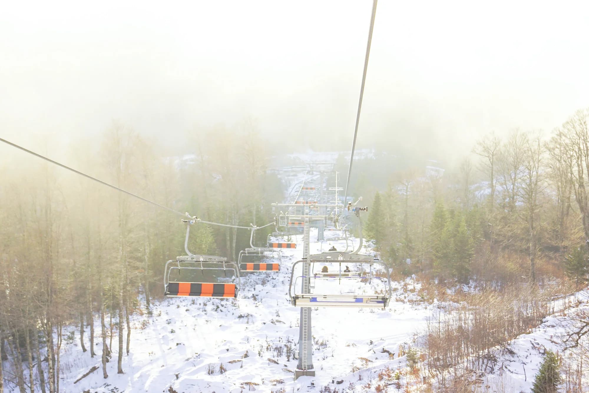
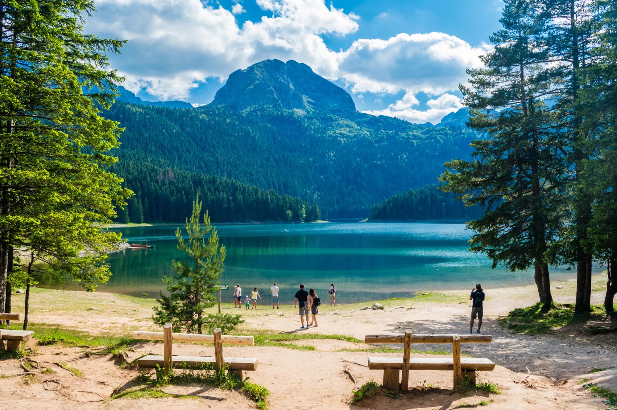
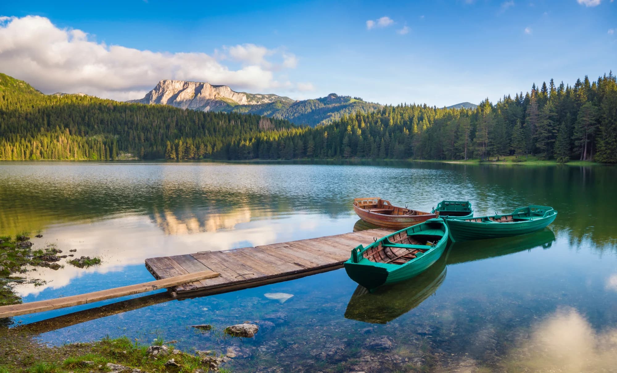
Durmitor National Park is a UNESCO World Heritage Site in northern Montenegro, a limestone massif of bare rock, pine forest and high pasture that glaciers carved into shape. Forty-eight peaks rise above 2,000 metres; the highest, the dramatic Bobotov Kuk, reaches 2,523 metres and makes the classic long day out for hikers. The town of Žabljak sits at about 1,450 metres in the middle of it all, the highest town in the Balkans and the natural base for everything here. Eighteen glacial lakes are scattered across the massif, known locally as gorske oči, mountain eyes. The largest and easiest to reach is the iconic Crno jezero, the Black Lake, a twenty-minute walk from Žabljak and ringed by a level circuit through pine woods with the walls of Meded and Savin Kuk reflected in the water. Others - Zminje, Jablan, and the Škrčka lakes in their deep cirque - take real effort and repay it. The Crna Poda reserve protects a stand of black pine, some of the trees around four centuries old. Below the northern rim the Tara cuts the deepest gorge in Europe, more than 1,300 metres at its greatest depth, and the river carries Montenegro's best-known rafting through it. The park road that loops the massif links the villages, the Sedlo pass and a series of viewpoints that need no walking at all. Bears, wolves and chamois live in the forests and above them; you are far more likely to see golden eagles. Summer, from late June to early October, is the hiking season, with wildflowers in July and stable weather deep into September. Winter brings reliable snow and skiing at Savin Kuk above Žabljak. Spring arrives slowly at this altitude and high trails hold snow into June. Durmitor suits hikers, skiers, rafters and drivers - anyone who wants mountains rather than coastline — pristine alpine landscape, dense pine forest and mountain meadow.
Search thousands of hotels and apartments with live prices.
We may earn a commission from partner links. This helps us keep Montenegro.com free for travelers.
Search hotels, apartments and guest houses with live availability.
We may earn a commission from partner links. This helps us keep Montenegro.com free for travelers.
A limestone massif in north-western Montenegro and the national park around it, protected since 1952 and inscribed on the UNESCO World Heritage list in 1980 together with the Tara river canyon. It covers roughly 390 square kilometres of peaks, glacial lakes and high pasture.
Bobotov Kuk, at 2,523 m, long thought to be the highest point in Montenegro until surveys gave that to Zla Kolata in the Prokletije. It is a full day's walk from Zabljak, with a scramble near the summit, and the usual objective for fit walkers.
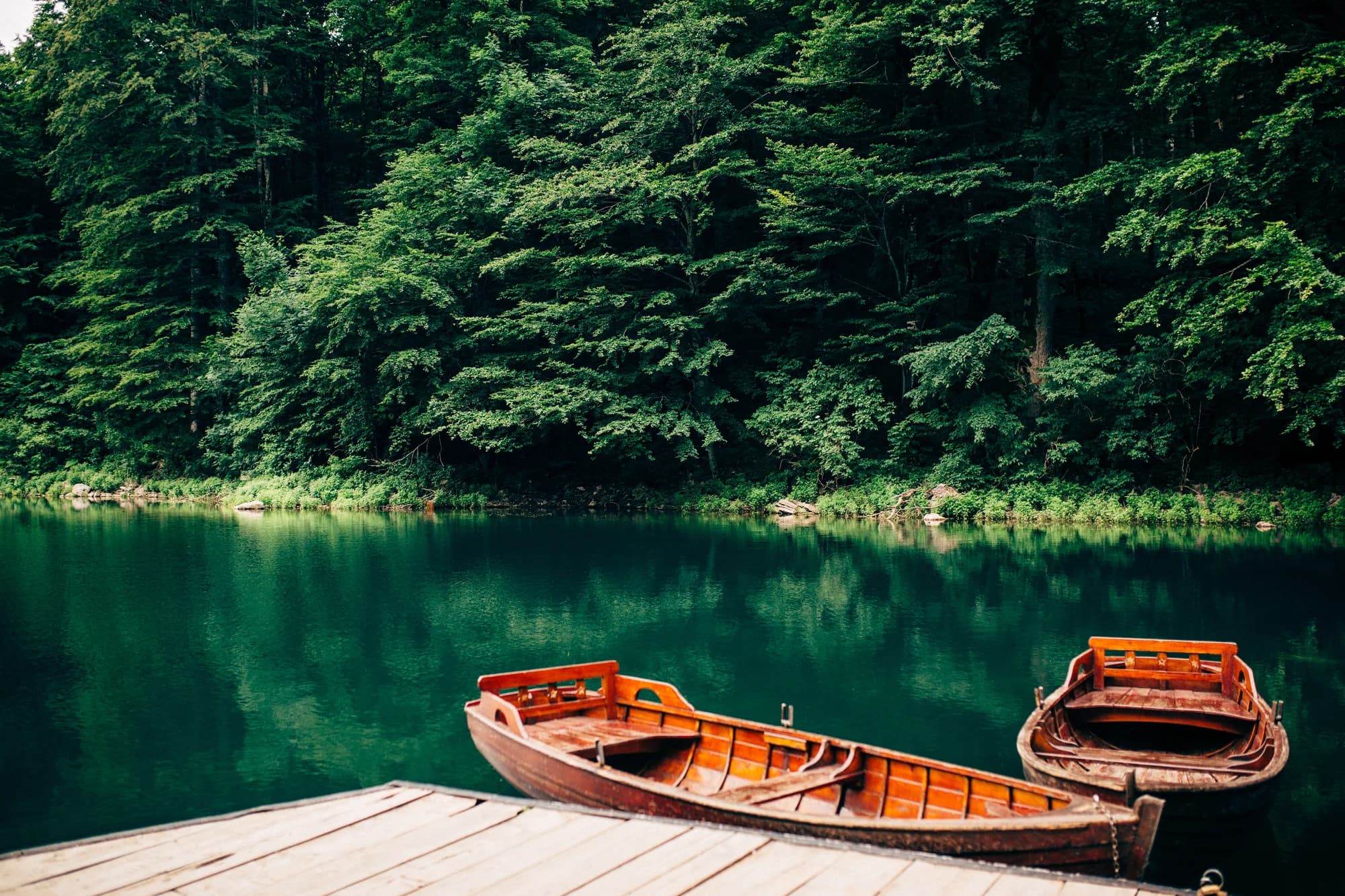
Crno jezero, the largest and most visited of Durmitor's eighteen glacial lakes, about 3 km from Zabljak and reachable on foot. A level path circles it in around an hour, and it is the one place in the park that is busy in August.
About 1,300 m at its deepest, which makes it the deepest river canyon in Europe and second in the world after the Grand Canyon. It forms the park's northern boundary and is the reason the UNESCO listing covers river as well as mountain.
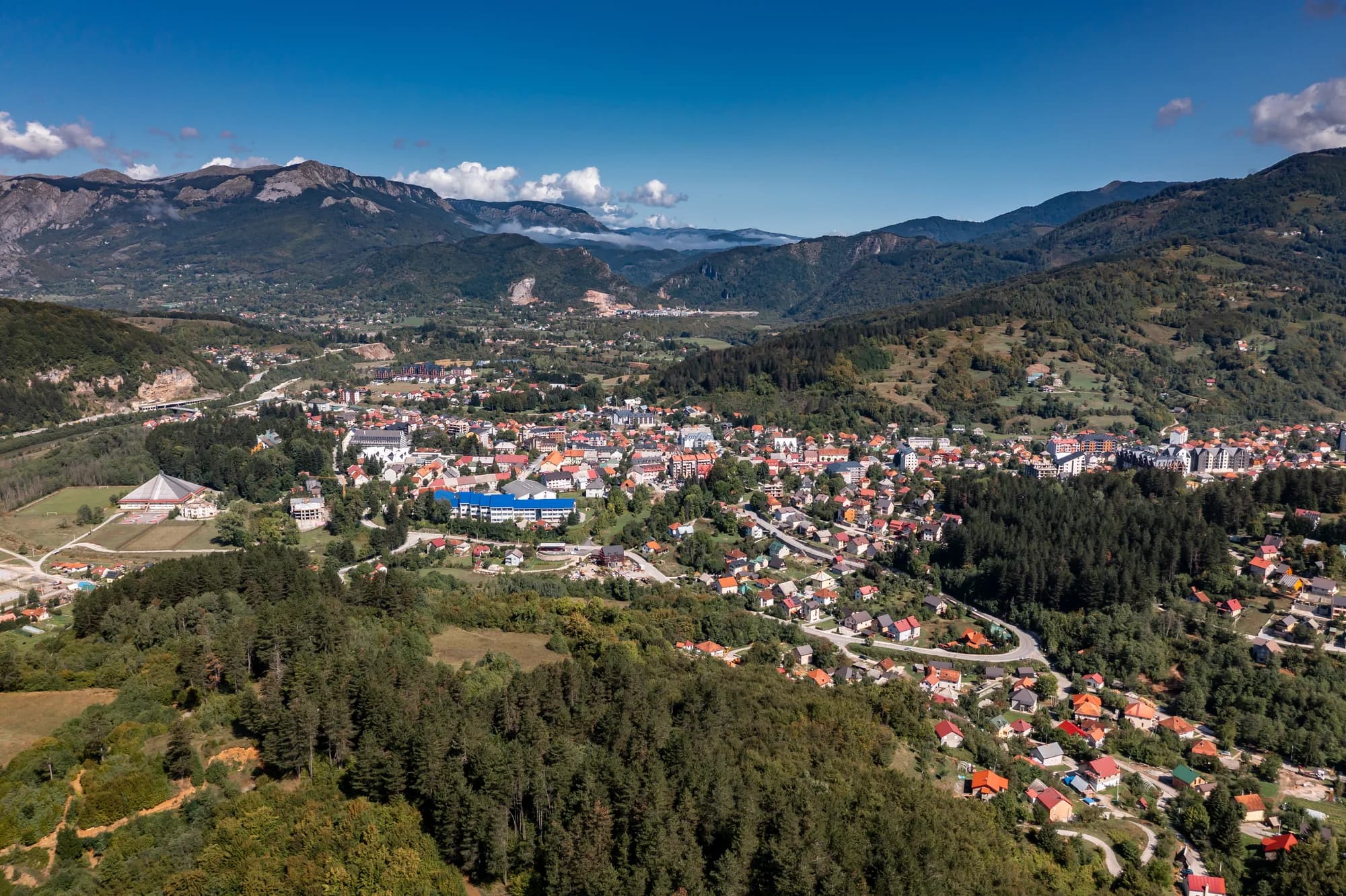
Zabljak, at around 1,450 m the highest town in the Balkans, sits inside the park and has most of the accommodation, from hotels to village rooms. Mountain huts and the katuns serve walkers doing multi-day routes.
July to September for walking, when the snow has cleared from the high routes and the katuns are occupied. December to March for skiing at Savin Kuk. May and June are green and empty but the highest paths may still hold snow.
The UK Foreign, Commonwealth & Development Office (FCDO) has no advisory against travel to Montenegro; it last reviewed its guidance on 13 August 2026. That is their assessment of the country as a whole, not ours and not a judgement about Durmitor, so read it yourself before you travel. The emergency number in Montenegro is 112.
The nearest places to Durmitor, at their true positions — Pljevlja is about 34 km away in a straight line.
Schematic. Positions and straight-line distances from the coordinates we hold for each place; mountain roads make the drive longer. Coastline and Lake Skadar © OpenStreetMap contributors.
Best time: June · July · September
National parkDurmitor2,523 m · 1.0 km · 69% of January days with snow
SummitBobotov Kuk2,523 m · 2.7 km · 69% of January days with snow
SummitSavin Kuk2,313 m · 3.9 km · 72% of January days with snow
National parkBiogradska Gora2,139 m · 53 km · 57% of January days with snow
Ski areaKolašin 16002,035 m · 59 km · 62% of January days with snow
Ski areaKolašin 14501,750 m · 60 km · 62% of January days with snow