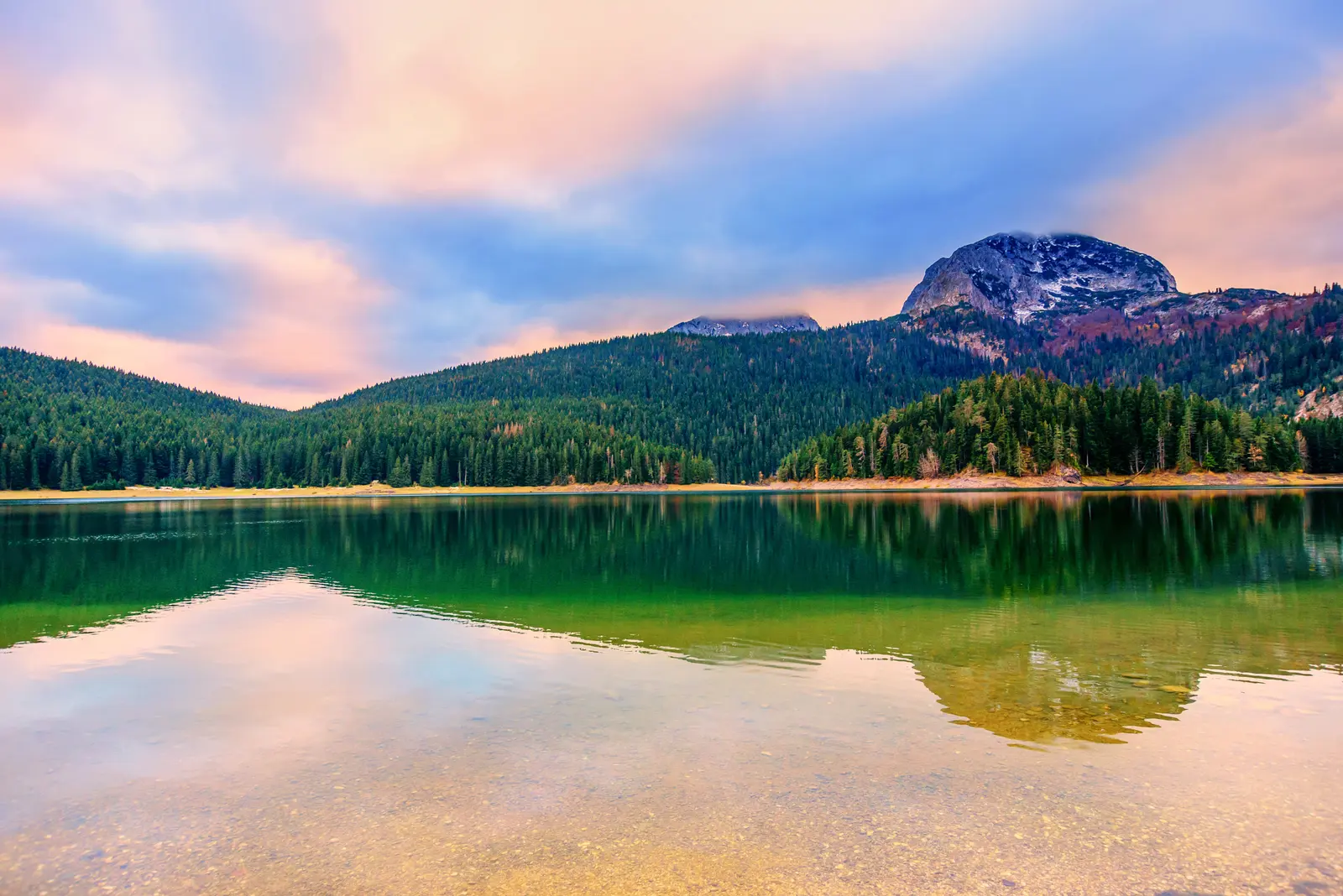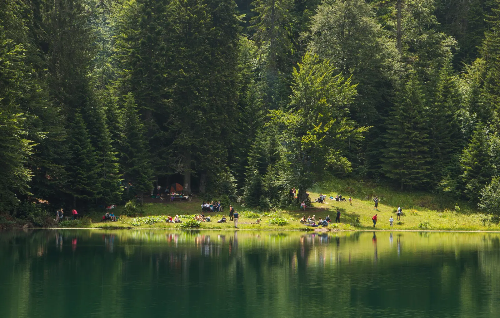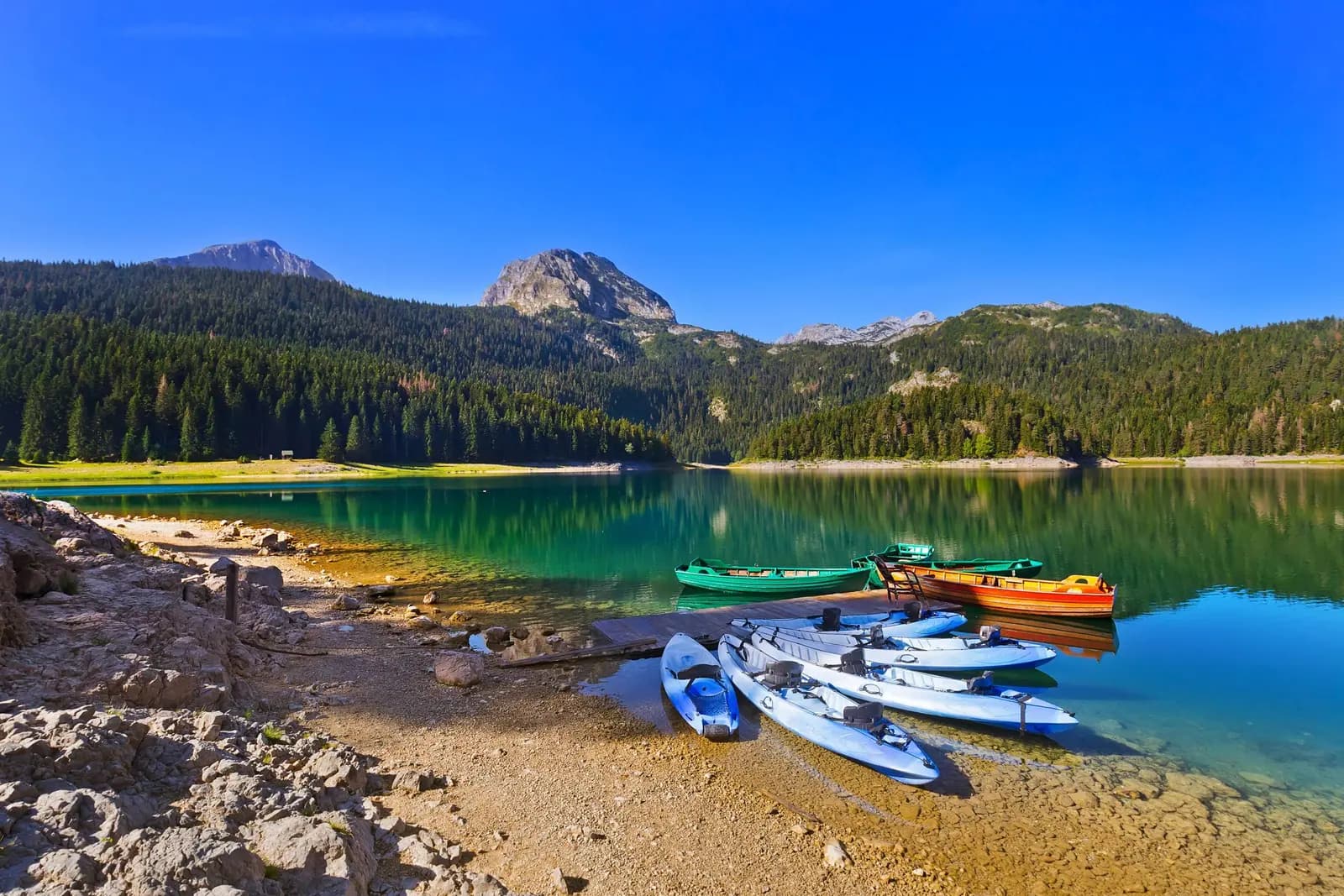
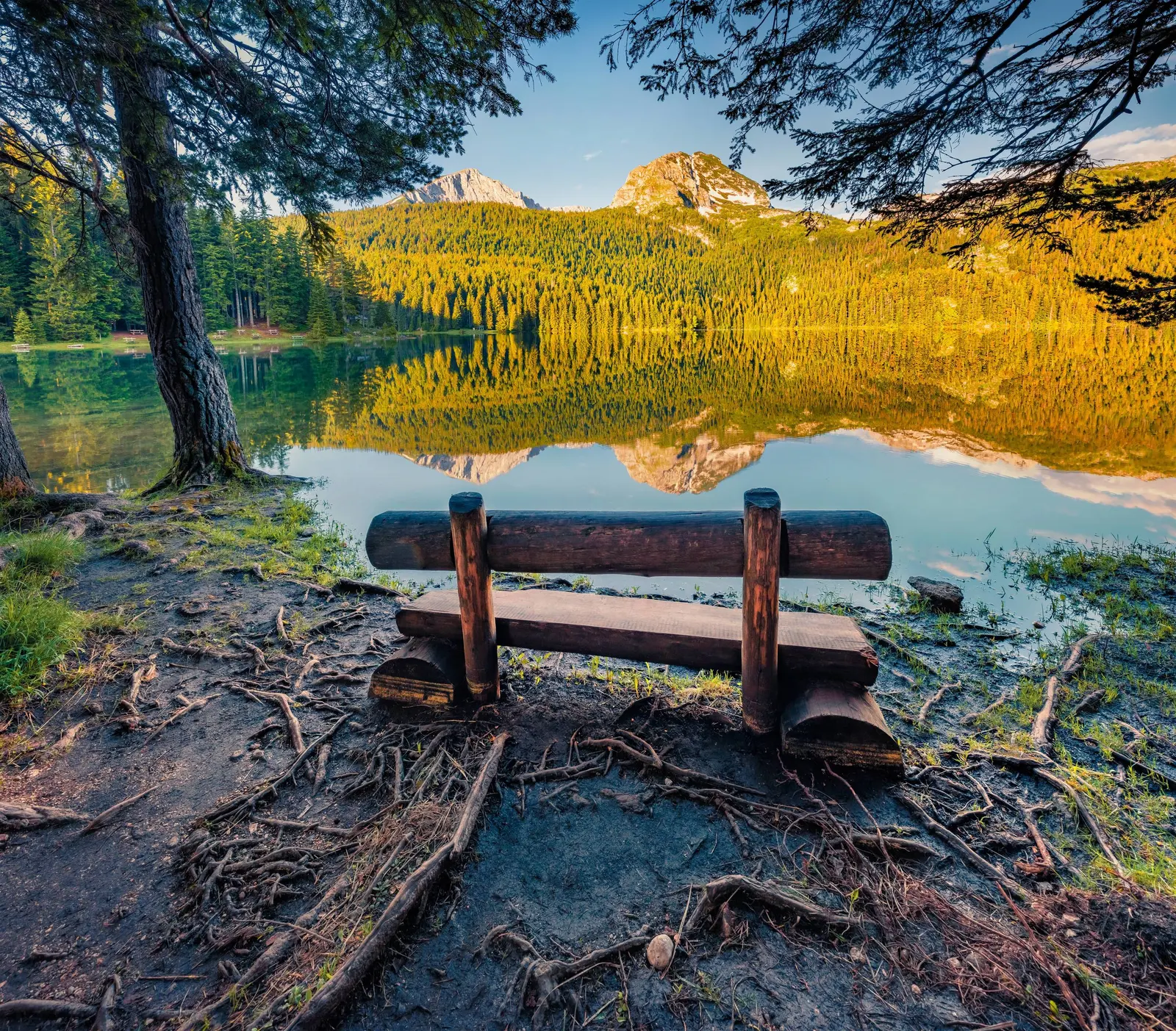
Black Lake is Durmitor’s easiest landscape to recognize, but not a one-hour promise. Montenegro’s 2026–2030 park plan describes an approximately 4 km educational trail around Crno jezero, with information panels and rest furniture. The same plan says the park’s marked routes have different lengths and difficulty, while trail maintenance and signage still need improvement. Weather, roots, mud, snow, ice, temporary damage and personal mobility can all change what “a walk around the lake” means.
This guide separates the dependable core—a protected glacial lake inside a 32,100 ha UNESCO property—from decisions that must be made on the day. Start with the entrance-side shore and current park information. Continue only while signs, surface and weather agree. Save Bobotov Kuk, the Ice Cave and other mountain objectives for a separately planned hike, not an impulsive extension of a lake visit.
| Verified | Do not assume |
|---|---|
| Durmitor is a 32,100 ha UNESCO property | Every place shown online is equally accessible |
| Black Lake has Big and Small basins | The connecting water always looks the same |
| The educational trail is about 4 km | Every visitor completes it in one hour |
| The park has routes of differing difficulty | A lake start means an easy mountain finish |
| Closures and warnings have occurred | A seasonal label proves today’s route is open |
| The signed Durmitor Ring is 76 km | The high road is passable in every month |
What is protected at Durmitor?
What the sources say
UNESCO lists Durmitor National Park under natural criteria (vii), (viii) and (x). The property was inscribed in 1980 and its boundary was significantly modified in 2005 to coincide with the national park boundary. Its 32,100 ha include the Durmitor massif and the canyons of the Tara, Draga, Sušica and Komarnica, a landscape shaped by glaciers, rivers and underground streams.
What the sources say
The conservation chronology reaches further back. UNESCO records protection for Black Lake in 1907, establishment of the national park in 1952 and designation of the Tara River Basin as a UNESCO biosphere reserve in 1976. The lake is therefore not scenery placed beside a tourist town; it is part of a protected hydrological and ecological system with more than a century of formal conservation history.
Exact mountain counts differ even across public institutions. UNESCO says “some fifty” peaks rise above 2,000 m and gives Bobotov Kuk as 2,525 m. Montenegro’s current park plan gives 2,523 m; older official hiking material has used 2,522 m, while tourism pages vary between more than 40 and 48 peaks over 2,000 m. Those differences reflect source, survey and counting conventions. They do not change the planning question: a summit is high alpine terrain, not an add-on to the lake circuit.
| Year | Status |
|---|---|
| 1907 | Black Lake protected |
| 1952 | National park |
| 1976 | Biosphere reserve |
| 1980 | World Heritage |
| 2005 | Boundary change |
Source: whc.unesco.org, nparkovi.me
Why Black Lake is two lakes
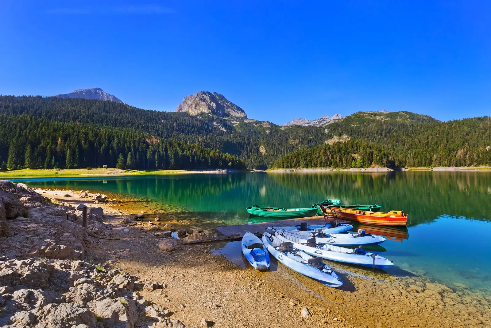
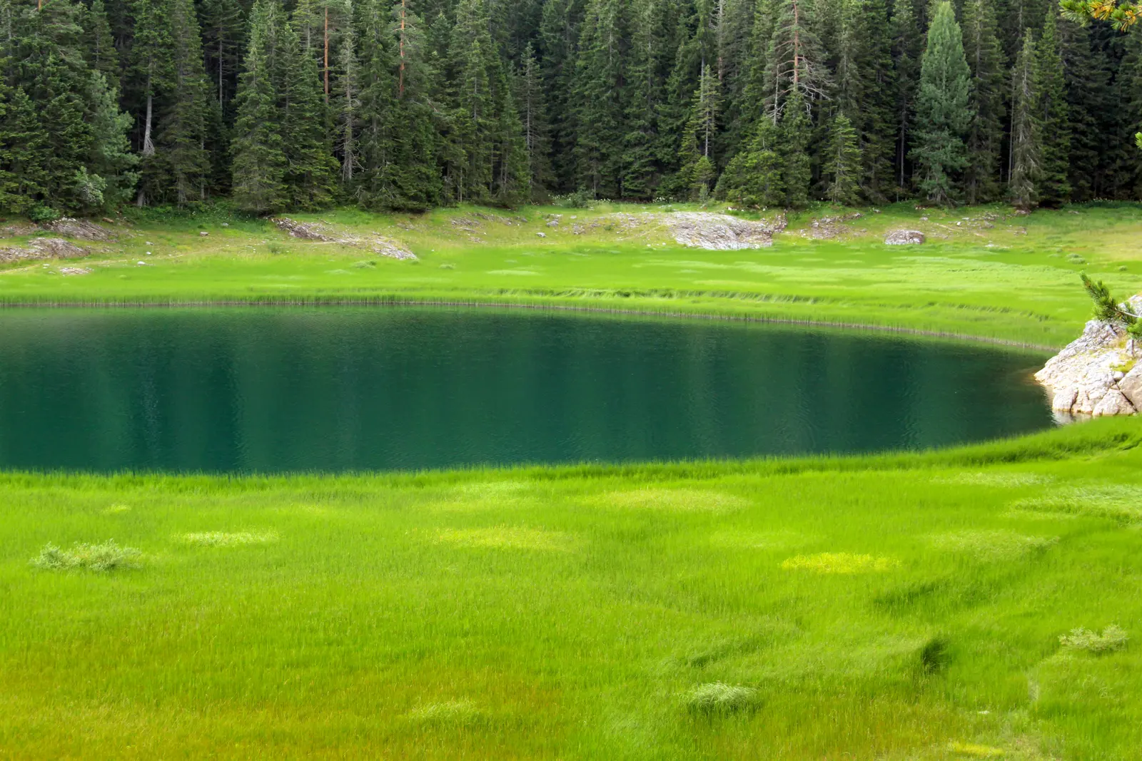
Crno jezero consists of Veliko jezero, the Big Lake, and Malo jezero, the Small Lake. Water level and season affect how clearly they appear joined. A narrow connection can make the pair read as one body of water during higher water and as more distinct basins when levels fall. A single photograph cannot represent every month or explain a particular day’s shoreline.
The 2026–2030 management plan identifies the lake’s unusual bifurcation: underground water from the Black Lake system drains toward two different catchments, the Tara to the northeast and the Piva–Komarnica system to the southwest. That watershed role is more significant than the familiar nickname “mountain eye.” It connects what visitors see on the surface with the karst hydrology below.
The same plan records ecological importance around the lake and across the park, including conifer, mixed and deciduous forest, alpine and subalpine habitat and mountain waters. It reports 172 bird species in the park, 112 of them breeding species, and identifies Durmitor as an Important Bird Area. These figures describe park-wide conservation value; they are not a promise that a short shore visit will produce a particular wildlife sighting.
| Basin | Drains toward |
|---|---|
| Big Lake | toward TARA |
| Small Lake | toward PIVA–KOMARNICA |
Source: nparkovi.me
The shore circuit: three valid versions
The park’s educational page estimates about one hour for the approximately 4 km trail. Read that as institutional orientation, not a guarantee. The park’s newer management plan gives the same approximate distance but does not promise one duration, one surface or universal accessibility. It also states that an additional visitor-centre building near the educational trail was not functioning when the plan was prepared.
1. Entrance shore and return
Best for a short visit, uncertain weather or limited mobility. Walk only as far as the signed, comfortable surface permits, pause at the principal views and return the same way. A partial walk is not a failed circuit; it is a complete lake visit with a lower commitment.
2. One-basin exploration
Continue around a chosen section while keeping the exit easy to reverse. This is useful when parts of the route are wet, rooted, snowy or crowded. Do not let a dry entrance path persuade you that every later segment has the same surface.
3. Full educational circuit
Attempt the full loop only after checking the current park notice, signs and trail condition. Allow more than the advertised hour if stopping for interpretation, photography or rest. Turn around for damage, ice, deep mud, falling branches, water across the route or any closure sign. Children need supervision appropriate to their age, footwear and the actual surface; the existence of a nearby playground is not evidence that every trail segment suits every child.
This conditional advice is grounded in experience the park itself has documented. In October 2024, National Parks of Montenegro closed the path because storm damage made parts unsafe. In April 2026, the park told visitors not to use Durmitor mountain trails or organize summit ascents because deep snow and weather made conditions unfavorable and rescue response difficult. Neither historic notice proves today’s status. Together they prove that status matters.
| Stage | What it means |
|---|---|
| Entrance shore | Inspect signs and surface |
| Short return | Lowest commitment |
| One basin | Preserve an easy retreat |
| Full circuit | Only if all checks agree |
| Any doubt | Closure, ice, damage or doubt = turn around |
Source: nparkovi.me
Season changes the task
| Condition | Likely issue | Decision |
|---|---|---|
| Snow or ice | Hidden edge, slips, frozen water | Use signed winter routes; never walk on the lake |
| Spring thaw | Mud, runoff, lingering snow | Shorten or turn back before poor surface |
| Warm clear day | Heat, crowds, fast weather change | Carry water and layers; keep time margin |
| Thunder or low cloud | Exposure, navigation, falling temperature | Leave exposed terrain; do not start a summit |
| Autumn rain or wind | Wet roots, branches, reduced light | Prefer entrance shore and early return |
There is no universally reliable hiking window. The National Tourism Organisation’s outdoor-safety recommendations say to check the weather, remain on marked trails, wear layered clothing and non-slip footwear, carry sufficient water, and take a charged phone plus flashlight or spare battery. Those are minimums, not evidence that a chosen route is open.
Winter deserves a separate plan. The park marks a snowshoe route between Savin Kuk and Black Lake, but the frozen lake surface itself is prohibited for walking. National Parks has specifically asked visitors to obey that prohibition. Use the signed land route and current local instructions; a white surface is not a bridge. Our Montenegro winter guide covers snow, roads and mountain safety in more depth.
For the ambiguous weeks between seasons, read the Durmitor spring-thaw field guide. For broader climate expectations rather than a same-day forecast, compare the month-by-month weather guide.
| Condition | What to expect |
|---|---|
| Snow | Signed land route |
| Thaw | Mud + runoff |
| Warm | Weather margin |
| Wet | Roots + low light |
| Check today | Signs · forecast · surface |
Source: montenegro.travel, nparkovi.me
Beyond the lake: do not improvise a summit
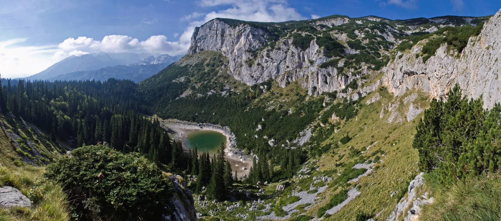
The management plan lists 25 arranged and marked walking and mountaineering trails of different length and difficulty. Several begin at Black Lake and continue toward Lokvice, Terzin Bogaz, Velika Kalica, Minin Bogaz or Savin Kuk. The fact that a route appears in a plan confirms its managed existence, not its condition today or its suitability for an unprepared visitor.
Bobotov Kuk requires a distinct start-time, route, equipment, water, weather and turnaround plan. The Ice Cave route likewise enters mountain terrain where snow and ice may persist; it is not a casual cool-room detour. Use a qualified local guide when experience, navigation, exposure or seasonal conditions exceed the group’s competence. Do not follow an unverified GPX line after losing markings.
The April 2026 park appeal is especially instructive: the park did not merely warn that snow existed. It asked visitors to avoid mountain trails and summits until passability could be assessed, noting that emergency response was harder in those conditions. A beautiful forecast at Žabljak does not cancel a terrain-specific restriction higher up.

| Step | Level of commitment |
|---|---|
| Viewpoint | Lowest |
| Shore | Low |
| Circuit | Moderate |
| Mountain | High |
| Summit | Highest |
Source: nparkovi.me
The Durmitor Ring is a road-status decision
The National Tourism Organisation gives the signed Durmitor Ring as 76 km, following the broad circuit Žabljak–Mala Crna Gora–Nedajno–Trsa–Pišće–Žabljak. That corrects the inherited “about 80 km,” but exact length is the least important planning variable. The high road is narrow, exposed and seasonal; closures, snow, works and oncoming vehicles can turn a scenic drive into an unsuitable plan.
Check official road information and the park locally before departure. Start with adequate fuel and daylight. Do not assume continuous mobile coverage, guardrails, services or a simple place to turn around. A 76 km signed circuit can take much longer than ordinary-road arithmetic suggests because safe passing and viewpoint stops require time.
If the high circuit is not clearly open, keep the day around Žabljak and Black Lake. The full Durmitor guide can help assemble alternatives. Treat the Đurđevića Tara Bridge as a separate stop rather than squeezing its history into a lake walk.

| Point on circuit | Note |
|---|---|
| Žabljak | Start of official signed circuit |
| Mala Crna Gora | On circuit |
| Nedajno | On circuit |
| Trsa | On circuit |
| Pišće | On circuit |
| Total | 76 km |
Source: montenegro.travel, nparkovi.me
Practical Black Lake day
- Before leaving Žabljak: check the current park notice and same-day mountain forecast. Save 112, but do not rely on reception.
- At the entrance: read the current fee, opening and access information rather than copying an old blog price. Ask specifically about the shore path, not “Durmitor” in general.
- At the first view: reassess cloud, wind, surface, footwear and group pace. A photograph here can be the day’s endpoint.
- Choose scope: entrance return, one-basin section or full circuit. Keep enough daylight and energy to reverse the route.
- Keep mountain objectives separate: do not turn a lake walk into an Ice Cave or summit attempt without its own plan.
- Leave no trace: remain on the managed route, carry waste out, avoid wildlife disturbance, and obey fire restrictions and park staff.
The 2026–2030 plan records a control-and-fee point at Black Lake, a restaurant by the lake and a visitor centre in Žabljak. It also says the second visitor-centre building near the educational trail was then not functioning. Because operation, prices and service hours can change, verify them on the day rather than treating strategic-plan inventory as a timetable.
For the canyon landscape beyond the massif, use the dedicated Tara Canyon guide. It separates rafting, viewpoints and safety instead of presenting the canyon as a quick appendage to Black Lake.

| Step | Decision |
|---|---|
| 1 | Current notice + forecast |
| 2 | Signs + surface + group |
| 3 | Short, partial or full circuit |
| 4 | Turnaround margin preserved |
| 5 | Mountain route remains a separate plan |
| Emergency | 112 |
Source: nparkovi.me, montenegro.travel, gov.me
Frequently asked questions
How long is the path around Black Lake?
The current park plan calls the educational trail approximately 4 km. An official educational page estimates about one hour, but surface, weather, stops, congestion and ability can make it longer or unsuitable. Check current signs and turn around when necessary.
Is the Black Lake circuit flat and suitable for children?
Do not use that as a universal description. Parts are gentle, but roots, mud, snow, ice, damaged sections and changing water margins affect difficulty. Choose a short shore visit if the full surface is not appropriate for the group.
Can I walk on Black Lake when it freezes?
No. National Parks has published an explicit prohibition on walking over the frozen water. Follow signed land or snowshoe routes and current staff instructions.
Can I continue from Black Lake to the Ice Cave or Bobotov Kuk?
Only as a separately researched mountain outing with current route status, weather, equipment, water, experience and turnaround time. A managed route on a plan is not proof that it is open or suitable today.
How many Durmitor peaks exceed 2,000 m?
Official sources differ: UNESCO says some fifty, while Montenegro tourism and older park material use other counts. The guide does not force a false single number. The practical fact is that the upper massif is serious mountain terrain.
How high is Bobotov Kuk?
The current park plan gives 2,523 m; UNESCO’s current description gives 2,525 m, and older official material has used 2,522 m. Quote the source when precision matters rather than hiding the documented variation.
How long is the Durmitor Ring?
The National Tourism Organisation gives 76 km. Check current road status, weather and daylight before committing; the published distance is not a passability report.
What is Montenegro’s emergency number?
Call 112 for an emergency. Give location, nearest landmark, number of people and the nature of the incident, then follow instructions. Reception is not guaranteed, so share the plan before departure.
The best Black Lake plan is expandable, not compulsory. The entrance shore already reveals the essential relationship between water, forest and limestone. Let current evidence decide whether the day grows into a circuit—or stays a quieter encounter with a protected lake.