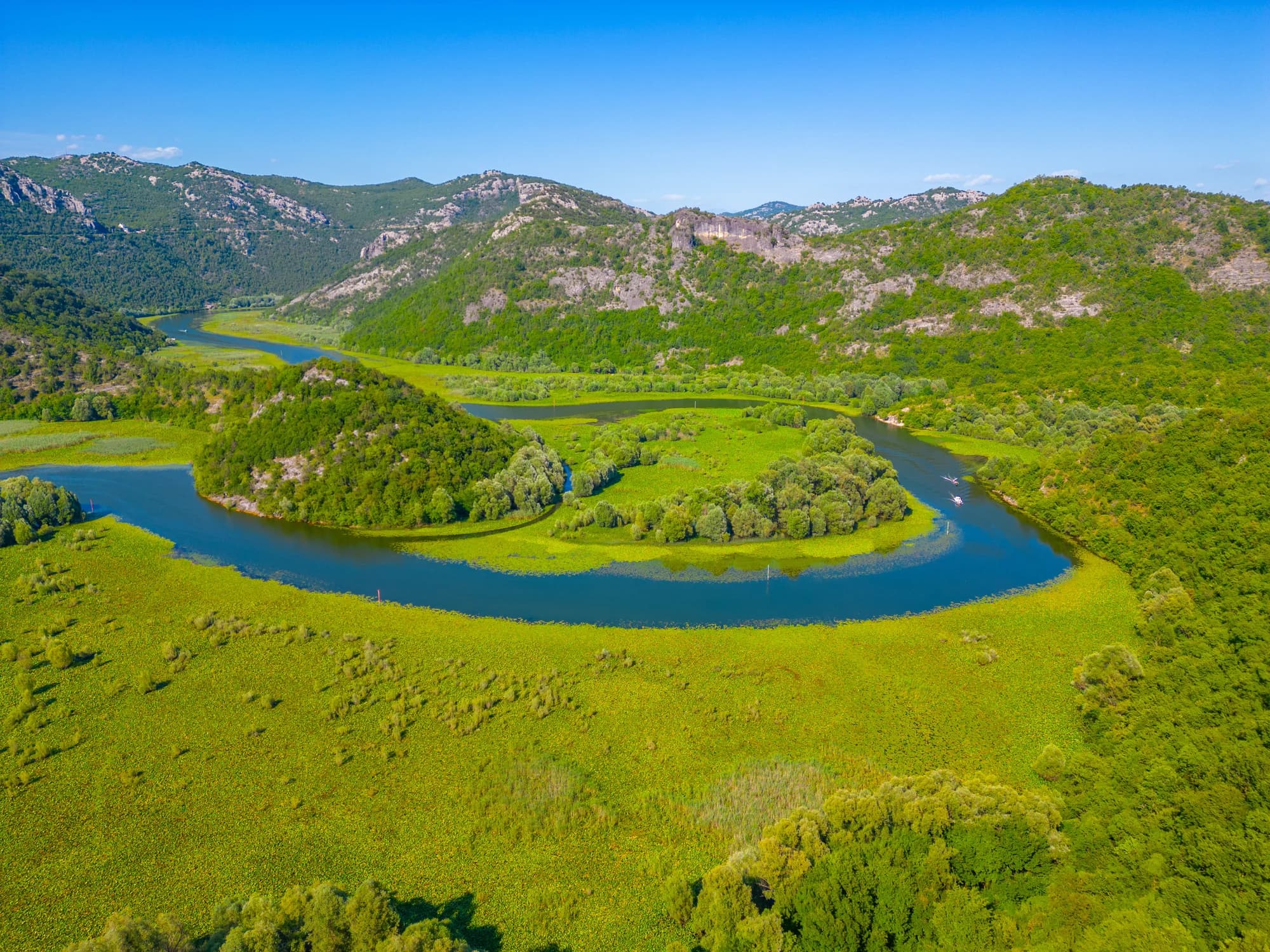
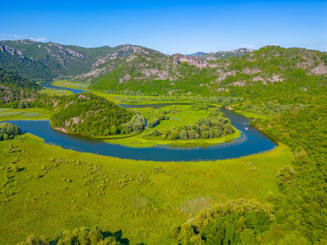
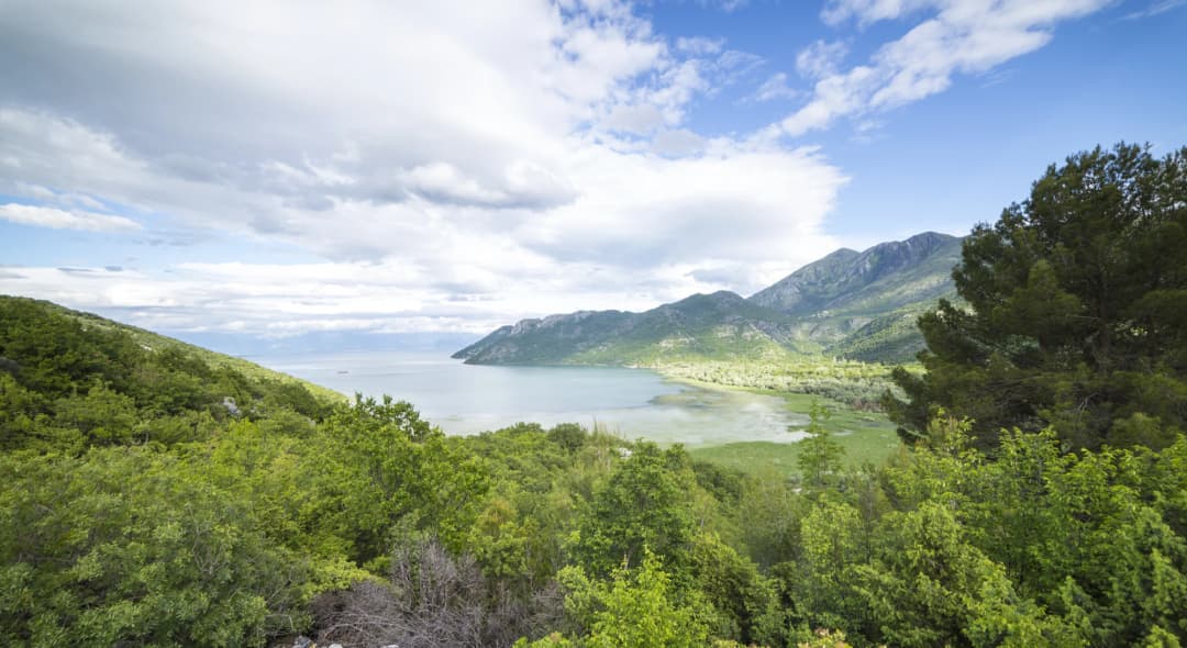
Lake Skadar refuses a single postcard. In summer, exposed edges and channels make the lake feel like an immense water garden. In wetter months, the surface expands into low ground and the boundary between lake, marsh and field becomes harder to draw. The National Tourism Organisation gives indicative areas of about 370 square kilometres in summer and 540 in winter—a range that explains more than any one fixed number.
This fluctuation is the key to reading the lake. It shapes bird habitat, boat routes, fishing, vegetation and the position of villages. It also explains why claims about exact area and depth often conflict: some describe the whole transboundary lake, others the Montenegrin national park or Ramsar site, and still others one season’s water surface. A good visit begins by asking what kind of lake you are looking at today.
Lake, park and Ramsar site are not the same boundary
The lake is shared by Montenegro and Albania. Montenegro declared its national park in 1983. In 1995, a 20,000-hectare Montenegrin section was designated a Wetland of International Importance under the Ramsar Convention. These overlapping descriptions protect and manage different scopes, so “Lake Skadar” in a statistic must always be checked against its boundary.
The Ramsar record describes a tectonic-karst freshwater lake with floating vegetation, reeds, sedges, willow communities, fish, endemic invertebrates and major importance for nesting, staging and wintering waterbirds. BirdLife treats the wider cross-border landscape as a restoration priority linking wetlands, forests, agriculture, migratory fish and the Buna/Bojana connection to the Adriatic.
That is a richer story than the old phrase “unique bird reserve.” The lake is internationally important, but it is not a sealed sanctuary without people. Fishing settlements, vineyards, monasteries, roads and visitor boats coexist with sensitive habitat. Conservation depends on managing those relationships rather than pretending humans are absent.
The numbers that help—and the ones that mislead
| Measure | Reported figure | What it describes | How to use it |
|---|---|---|---|
| Seasonal lake area | About 370 km² summer; 540 km² winter | Indicative changing water surface in NTO material | Understand fluctuation, not a daily forecast |
| Montenegrin Ramsar site | 20,000 ha | Internationally designated wetland area | Do not equate with the entire lake |
| Average depth | About 5–6 m | Broad mean across a complex basin | Not a navigation or swimming guide |
| Underwater springs | Some “oka” much deeper | Karst depressions within the lake | Explains why maximum depth differs sharply from mean |
| National park status | Since 1983 | Montenegrin protected area | Check park rules and fees before activities |
Choose an access point by purpose
Virpazar is the most straightforward first base: visitor services, boat operators and rail and road access converge there. Use our Virpazar guide to plan the settlement itself, then the Lake Skadar and Virpazar guide for a broader stay.
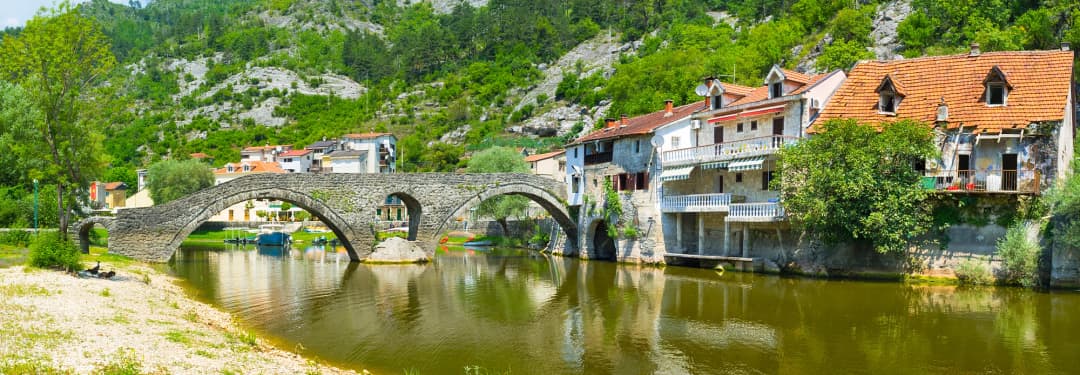
Rijeka Crnojevića gives a river approach, historic bridge and a different relationship to the lake’s north-western reaches. It is not merely another departure dock. The settlement belongs to the history of the old royal capital and printing tradition, explored in our Rijeka Crnojevića guide.
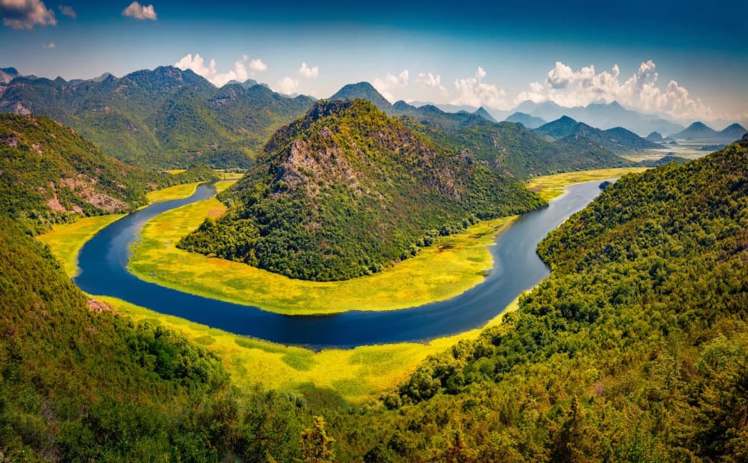
Viewpoints and minor shores can be rewarding, but a pin on a map does not guarantee public access, parking or a boat. Pavlova Strana is a view over the river bend, not a complete lake experience. Karuč and other small communities are lived places with limited space. Avoid blocking roads and private entrances in pursuit of a photograph.
Birdwatching without turning wildlife into a checklist
Dalmatian pelicans are the lake’s emblem, not a guaranteed performance. Conservation programmes have used nesting rafts and monitoring because breeding birds are vulnerable to flooding and disturbance. A responsible operator keeps distance from colonies, follows park instructions and refuses requests to approach nesting infrastructure for a closer image.
Autumn and winter can bring large migratory gatherings; spring adds breeding sensitivity; summer offers broad tourism access but heat and boat traffic. Bring binoculars, reduce noise and let the day be successful without a pelican. Herons, terns, cormorants, ducks and the structure of the wetland itself reward patient observation.
The National Tourism Organisation lists birdwatching platforms at several lake locations and the park advertises organised birding services. Availability and access can change, so contact the park rather than navigating from an old blog post. For a smaller coastal wetland comparison, our Tivat material connects through the broader Virpazar–Rijeka Crnojevića waterway story.
Fish, food and the danger of an easy “endemic” claim
The old article called carp an endemic fish living only in Lake Skadar. That is incorrect: common carp has a wide distribution. Carp remains culturally and economically important around the lake, and smoked carp, carp prepared with prunes, eel and local Crmnica wine belong to its food identity. Importance does not require a false exclusivity claim.
Choose restaurants that can explain what is in season and where fish came from. Fishing pressure, illegal activity and migratory barriers are conservation concerns recorded by government and wetland organisations. Visitors should not buy unverified catch or assume that seeing nets proves an activity is permitted. Anyone planning to fish needs current licences, zones and method rules from the competent authority.
Wine adds another layer to the watershed. The Crmnica area around Virpazar is covered in our Montenegro wine guide. Treat tasting and driving as separate decisions, particularly on narrow lake roads.
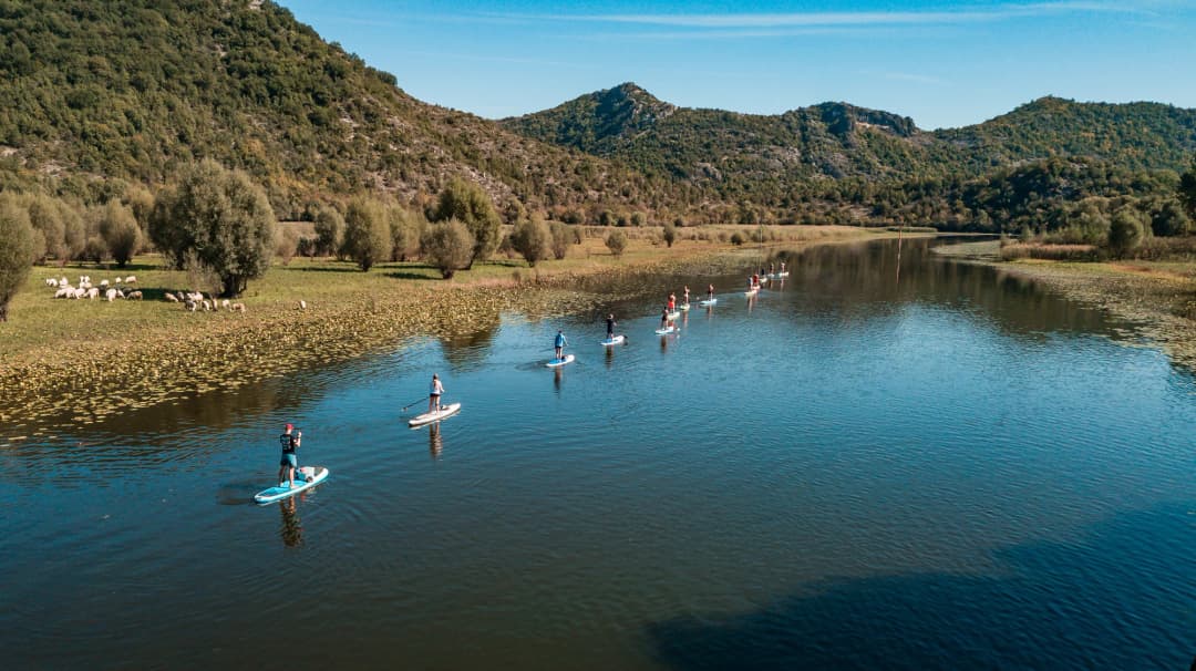
Monasteries, fortresses and printing history
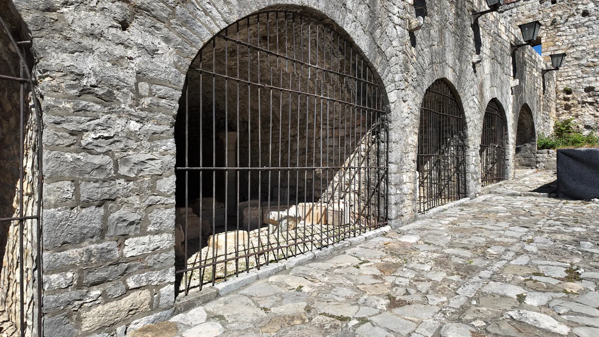
Island and shore monasteries including Starčevo, Beška and Moračnik form a sacred landscape across the lake. Fortified sites and settlements such as Žabljak Crnojevića record the strategic value of routes between inland Montenegro and the Adriatic sphere. Near Rijeka Crnojevića, the Obod tradition connects the area to the late-fifteenth-century Crnojević printing enterprise.
These places require more than a name in a boat itinerary. Landing access, religious observance, weather and permissions vary. Shoulders and knees should be covered at active monasteries, drones should stay grounded without explicit permission, and no visitor should pressure a skipper to land where conditions or rules advise against it.
Build a dedicated heritage route instead of claiming to “do” every island. A day divided among one water journey, one settlement and one carefully chosen historic site will be more legible than a race through ten names.
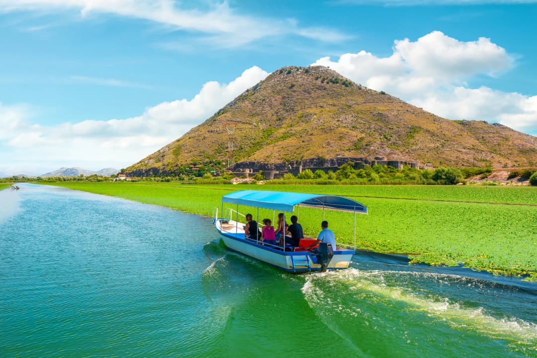
What the first Montenegro.com account preserved
The early article moved quickly from water lilies and Pavlova Strana to smoked carp, island monasteries, Obod, Karuč and pelicans. Its structure was imperfect, but its instinct was sound: Lake Skadar cannot be separated into a nature article and a culture article. A meal belongs to fishing practice and vineyard country; a bridge belongs to river transport; a monastery belongs to the water route that made its isolation possible.
This revision keeps those associations while correcting three consequential errors. Carp is not endemic to the lake. The lake surface is not “completely below sea level”; rather, certain deep karst depressions extend below that datum. And “a unique bird reserve in the world” is too vague to be useful. The precise distinction is better: the Montenegrin Ramsar site is internationally designated, and the cross-border wetland supports important breeding and migratory bird populations.
The legacy photographs and place sequence remain valuable evidence of how Montenegro.com introduced this landscape to readers. New reporting does not erase that layer. It identifies what was observed, checks what can now be sourced and clearly marks where conditions—water level, access, wildlife and visitor services—remain variable.
Match the season to the decision
Spring is visually rich, with strong water, fresh vegetation and active birdlife, but nesting areas demand distance. Summer offers the broadest choice of boat and paddling services; it also brings heat, glare and busy departure points. Autumn can combine comfortable temperatures with migration, while rain begins to change road and water conditions. Winter reveals the expanded wetland and major bird gatherings, but wind, shorter days and reduced tourism services narrow the safe plan.
Choose the activity after checking conditions, not months in advance because a generic guide called one season “best.” A windy summer afternoon may be worse for a small boat than a calm autumn morning. Heavy rain can turn a scenic minor road into the wrong approach. For birding, conservation sensitivity matters as much as species abundance.
Practical planning
Check the National Parks price page before arrival. The published list includes entry, visitor centres, guided services, kayaks and boats, but prices and packages can change. Book a licensed or established operator, agree on duration and route before departure and ask whether park entry is included.
Wear sun protection and carry water even when travelling by boat; reflected light intensifies exposure. Bring a wind layer outside midsummer. A buoyancy aid should be supplied and worn for kayaking and small-boat trips. Keep cameras and documents in a dry bag. If wind rises or visibility deteriorates, accept a shorter route.
From Podgorica, Virpazar is often the simplest first approach. From Cetinje, Rijeka Crnojevića can anchor a west-side route. Do not combine both with a long boat excursion unless daylight and road conditions make the plan comfortable. Our short Podgorica–Lake Skadar–Virpazar route is useful for comparing priorities.
Frequently asked questions
Is Lake Skadar below sea level?
No. Some deep underwater karst springs extend below sea level, but the lake surface itself is above it. Confusing maximum spring depth with surface elevation produces the common error.
Will I see Dalmatian pelicans?
Possibly, but never certainly. Season, water, weather and bird movement matter. Choose an ethical birding trip and value the whole wetland rather than asking a boat to disturb a colony.
Is Virpazar or Rijeka Crnojevića better?
Virpazar is usually easier for first-time logistics and a classic open-lake excursion. Rijeka Crnojevića offers stronger river, bridge and historic-settlement context. With two days, use both without rushing.
Can I visit without taking a boat?
Yes. Viewpoints, settlements, food and heritage make a worthwhile land-based day. A boat or kayak adds the wetland perspective, but only when weather, operator quality and visitor impact are acceptable.