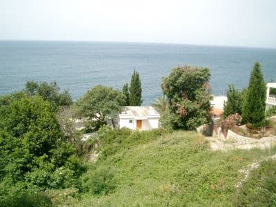
National park · Lake Skadar · 1,594 m
Lake Skadar
Nacionalni park Skadarsko jezero

Our verdict
The largest lake in the Balkans and the only one of the five parks that is mostly water. It is a bird park above all — pelicans breed here — and it is visited by boat from Virpazar rather than on foot. The hills around it carry vineyards and monasteries that most lake trips never stop at.
The honest part
Boat trips from Virpazar vary enormously in quality and in what they include; the price on the jetty is not the price you will pay. Summer brings both heat and mosquitoes to the shallows. The lake’s level moves a long way between spring and late summer, which changes what is reachable.
When to come
April to June for the birds and the water level; September and October for the quiet. July and August are hot on the water with little shade.
- Birds
- Lakes
- Families
- You can drive it
- Step-free in part
Where these are
How far, and how much up
No single route: a park’s coordinate is the middle of a boundary rather than somewhere anyone walks to. The routes are on its summits’ own pages.
How cold it gets
At 4 m, Lake Skadar averages a daily high of 10.1 °C in Jan and 32.8 °C in Aug. That is the part of the record we can stand behind here; see below for why there are no snow depths.
Lake Skadar sits at 4 m and the record holds no meaningful snow, which for once is simply true rather than a limit of the model.
| Month | Daytime high |
|---|---|
| Jan | 10.1 °C |
| Feb | 12.6 °C |
| Mar | 15.2 °C |
| Apr | 19.2 °C |
| May | 23.1 °C |
| Jun | 29.0 °C |
| Jul | 32.7 °C |
| Aug | 32.8 °C |
| Sep | 27.0 °C |
| Oct | 21.4 °C |
| Nov | 16.2 °C |
| Dec | 12.1 °C |
Temperatures are corrected to 4 m, the terrain height at the point we query; the summit is 1,594 m. Snow depth is not corrected — it is a grid cell about nine kilometres across, so read it as the massif rather than the summit.
Reanalysis from ERA5-Land (Copernicus), served by Open-Meteo.
Lake Skadar, in facts
The mountain
| Summit | 1,594 mRumija, the ridge between the lake and the sea, OSM node (ele 1594). The lake itself is at about 5 m. |
|---|---|
| Massif | Lake Skadar |
| Kind | National park |
| Record height | 4 mThe elevation the temperature record is corrected to. The summit is 1,594 m. |
Getting up it
| Trailhead | Virpazar for the boats, Rijeka Crnojevića for the river arm |
|---|---|
| Difficulty | A stroll |
| Road | Sealed; Virpazar sits on the Podgorica–Bar road |
| Parking | Free |
| Bus | Virpazar is on the Belgrade–Bar railway |
| Marked route | Not checked |
Up there
| Hut | None mapped within 8 km |
|---|---|
| Water | Springs mapped within 4 km |
| Food | Restaurant |
| Toilets | Yes |
| Shelter | Not checked |
| Mobile signal | Yes |
The park
| Area | 428 km²Measured from OpenStreetMap relation 10147977, which covers the Montenegrin part. Commonly quoted as 400 km². The lake continues into Albania. |
|---|---|
| Entry | Not checked |
Rules worth knowing
- Boat operators inside the park are licensed; fishing is regulated by season
Facts last checked against their sources on September 30, 2026.
Where these facts come from
- OpenStreetMap natural=spring and amenity=drinking_water nodes within 4 km for the water field
- OpenStreetMap tourism=alpine_hut and wilderness_hut nodes, searched country-wide for the nearest mountain hut
- OpenStreetMap relation 10147977 for the boundary and area
- Our Lake Skadar and Virpazar guide
- Open-Meteo ERA5-Land archive 2015–2025 for the temperature record
Photographs
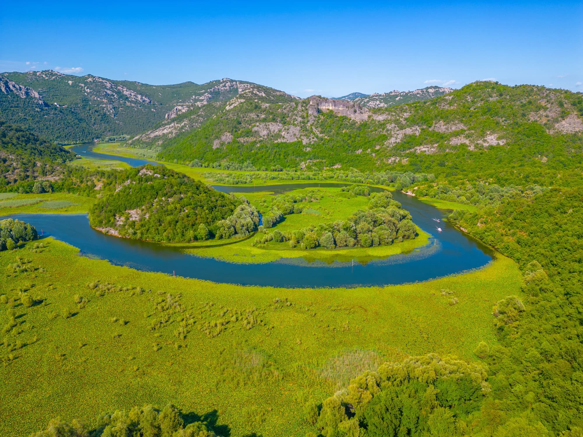
The river arm at Rijeka Crnojevića