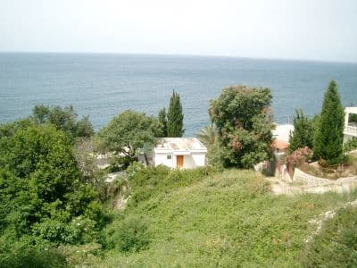
Nacionalni park · Skadarsko jezero · 1.594 m
Lake Skadar
Nacionalni park Skadarsko jezero

Naš sud
Najveće jezero na Balkanu i jedini od pet parkova koji je uglavnom voda. Prije svega je to park ptica — ovdje se gnijezde pelikani — i obilazi se čamcem iz Virpazara, a ne pješice. Na brdima oko njega su vinogradi i manastiri kod kojih se većina izleta po jezeru nikada ne zaustavi.
Iskreni dio
Vožnje čamcem iz Virpazara enormno se razlikuju po kvalitetu i po onome što uključuju; cijena na pristaništu nije cijena koju ćete platiti. Ljeto na plićake donosi i vrućinu i komarce. Nivo jezera se između proljeća i kasnog ljeta znatno mijenja, a time i ono do čega se može doći.
Kad doći
Od aprila do juna zbog ptica i nivoa vode; septembar i oktobar zbog mira. U julu i avgustu na vodi je vruće, a hlada je malo.
- Ptice
- Jezera
- Porodice
- Može se doći autom
- Djelimično bez stepenika
Gdje se nalaze
Koliko ima, i koliko se penje
Nema jedne rute: koordinata parka je sredina granice, a ne mjesto do kojeg se ide pješke. Rute stoje na stranicama njegovih vrhova.
Koliko je hladno
Na 4 m, Lake Skadar ima srednju dnevnu najvišu temperaturu 10.1 °C u jan i 32.8 °C u avg. To je dio zapisa za koji ovdje odgovaramo; niže piše zašto nema visina snijega.
Lake Skadar je na 4 m i zapis ne bilježi značajan snijeg, što je ovdje jednom prosto istina, a ne ograničenje modela.
| Mjesec | Dnevna najviša |
|---|---|
| jan | 10.1 °C |
| feb | 12.6 °C |
| mar | 15.2 °C |
| apr | 19.2 °C |
| maj | 23.1 °C |
| jun | 29.0 °C |
| jul | 32.7 °C |
| avg | 32.8 °C |
| sep | 27.0 °C |
| okt | 21.4 °C |
| nov | 16.2 °C |
| dec | 12.1 °C |
Temperature su korigovane na 4 m, visinu tla u tački koju pitamo; vrh je na 1.594 m. Visina snijega nije korigovana — to je ćelija od oko devet kilometara, pa je čitajte kao masiv, a ne kao vrh.
Reanaliza ERA5-Land (Copernicus), preko Open-Meteo.
Lake Skadar, u činjenicama
Planina
| Vrh | 1.594 mRumija, the ridge between the lake and the sea, OSM node (ele 1594). The lake itself is at about 5 m. |
|---|---|
| Masiv | Skadarsko jezero |
| Vrsta | Nacionalni park |
| Visina zapisa | 4 mVisina na koju je korigovan temperaturni zapis. Vrh je na 1.594 m. |
Kako se uspeti
| Početak staze | Virpazar za čamce, Rijeka Crnojevića za riječni rukavac |
|---|---|
| Težina | Šetnja |
| Put | Asfaltiran; Virpazar je na putu Podgorica–Bar |
| Parking | Besplatan |
| Autobus | Virpazar je na pruzi Beograd–Bar |
| Obilježena staza | Nije provjereno |
Gore
| Planinarski dom | Nijedan nije ucrtan u krugu od 8 km |
|---|---|
| Voda | Izvori zabilježeni u krugu od 4 km |
| Hrana | Restoran |
| Toalet | Da |
| Zaklon | Nije provjereno |
| Mobilni signal | Da |
Park
| Površina | 428 km²Izmjereno prema OpenStreetMap relaciji 10147977, koja obuhvata crnogorski dio. Obično se navodi 400 km². Jezero se nastavlja u Albaniju. |
|---|---|
| Ulaz | Nije provjereno |
Pravila koja vrijedi znati
- Operateri čamaca u parku su licencirani; ribolov je regulisan po sezonama
Činjenice su posljednji put provjerene prema izvorima 30. septembar 2026..
Odakle dolaze ove činjenice
- OpenStreetMap natural=spring and amenity=drinking_water nodes within 4 km for the water field
- OpenStreetMap tourism=alpine_hut and wilderness_hut nodes, searched country-wide for the nearest mountain hut
- OpenStreetMap relation 10147977 for the boundary and area
- Our Lake Skadar and Virpazar guide
- Open-Meteo ERA5-Land archive 2015–2025 for the temperature record
Fotografije
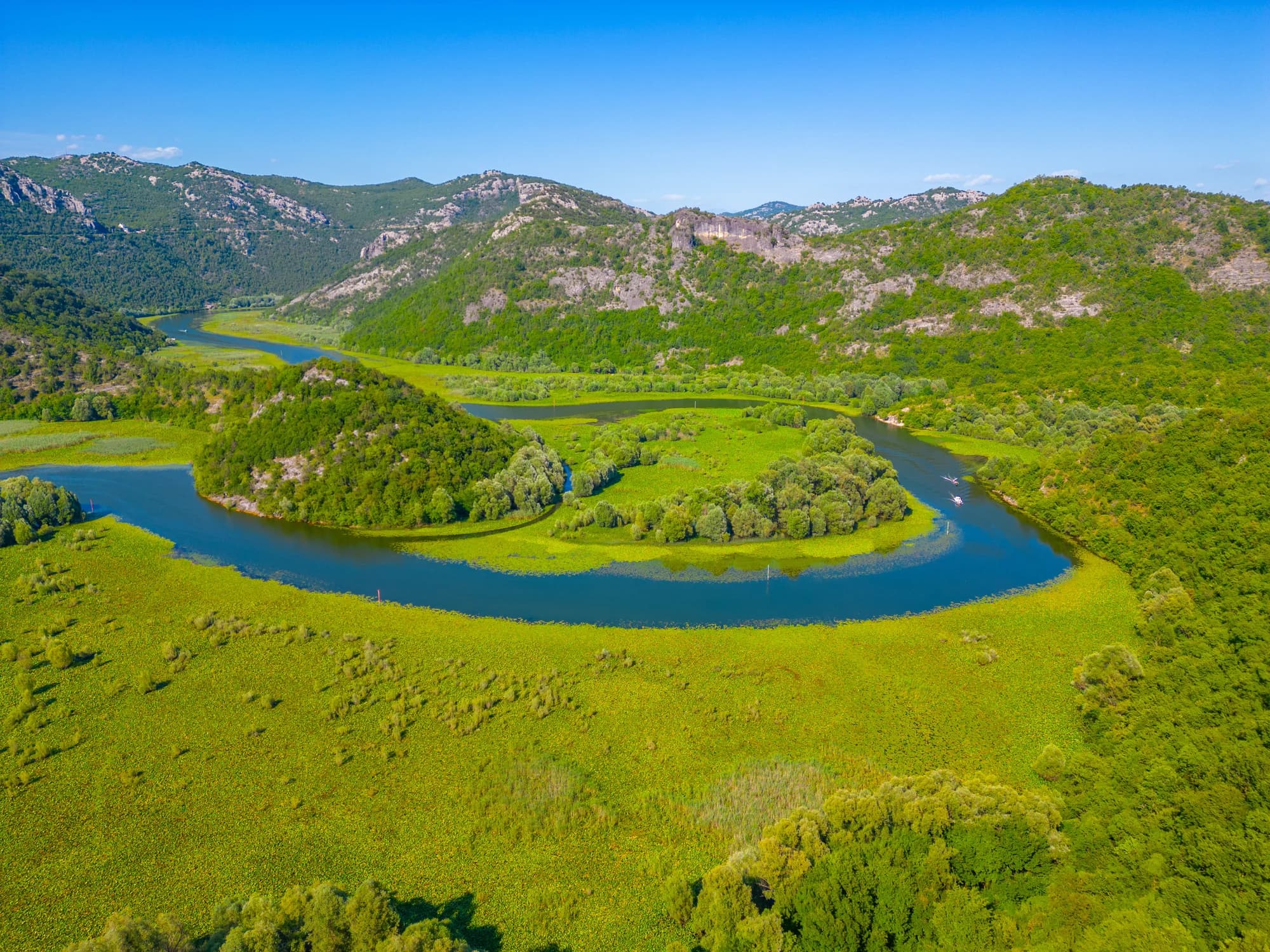
Riječni rukavac kod Rijeke Crnojevića