Summit · Rumija · 1,594 m
Rumija
Our verdict
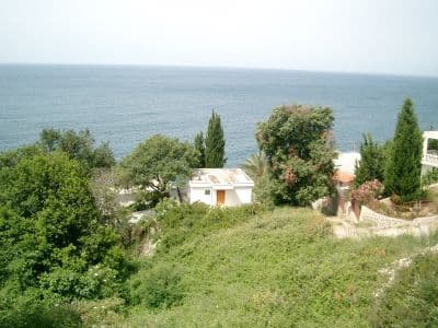
The ridge that separates Lake Skadar from the Adriatic, which means the summit has the sea on one side and the lake on the other — the single best view in the south of the country. A cross is carried to the top each year in an old procession from the villages below.
The honest part
It is a south-facing limestone ridge above the coast and there is no shade and no water on it. In July and August the walk is genuinely punishing by mid-morning.
When to come
October to May is the sensible window — the opposite of most of this atlas. Midsummer on this ridge is hot, dry and exposed.
- Summit day
- Views
- Day hike
Where these are
How far, and how much up
From the nearest place you can park, Rumija is 1.77 km of walking and 652 m of climbing, starting at 988 m.
- Distance
- 1.77 km
- Ascent
- 652 m
- From
- 988 m
- To
- 1,580 m
Measured along OpenStreetMap’s own path network from the nearest node you can drive to, with elevations from the Copernicus DEM sampled at a hundred points. Ascent is the total climb including the dips, not the difference between the two ends. A 90 m model smooths short steep steps, so treat it as a floor.
No walking time, on purpose. Distance and ascent are measurable; a pace belongs to the walker. Every “four to five hours” on the web is somebody’s guess wearing a number’s clothes.
The way up also loses 60 m, which a net figure would hide.
How cold it gets
At 1,580 m, Rumija averages a daily high of 0.6 °C in Jan and 21.0 °C in Aug. That is the part of the record we can stand behind here; see below for why there are no snow depths.
Why there are no snow depths here
The reanalysis puts Rumija at 1,580 m with a coldest-month daily high of 0.6 °C, and then reports a deepest snow depth of 15 cm across 10 winters. Both cannot be true. Snow depth is not corrected for elevation the way temperature is — it is the value for a grid cell some nine kilometres across, and on this ridge that cell is mostly low ground beside a warm sea. So we publish the temperatures, which are sound, and no depths at all. Treat winter here as snowbound and check the station reading above.
| Month | Daytime high |
|---|---|
| Jan | 0.6 °C |
| Feb | 2.5 °C |
| Mar | 4.5 °C |
| Apr | 8.0 °C |
| May | 12.0 °C |
| Jun | 17.3 °C |
| Jul | 20.6 °C |
| Aug | 21.0 °C |
| Sep | 15.9 °C |
| Oct | 11.1 °C |
| Nov | 6.6 °C |
| Dec | 2.7 °C |
Temperatures are corrected to 1,580 m, the terrain height at the point we query; the summit is 1,594 m. Snow depth is not corrected — it is a grid cell about nine kilometres across, so read it as the massif rather than the summit.
Reanalysis from ERA5-Land (Copernicus), served by Open-Meteo.
Rumija, in facts
The mountain
| Summit | 1,594 mOpenStreetMap peak node, ele 1594 (Q1785716) |
|---|---|
| Massif | Rumija |
| Kind | Summit |
| Record height | 1,580 mThe elevation the temperature record is corrected to. The summit is 1,594 m. |
Getting up it
| Trailhead | Above Bar, by the old road towards Sutomore and the villages on the ridge |
|---|---|
| Difficulty | A hike |
| Road | Gravel on the upper section |
| Parking | Roadside |
| Bus | Not checked |
| Marked route | Yes |
Up there
| Hut | None mapped within 8 km |
|---|---|
| Water | Springs mapped within 4 km |
| Food | None |
| Toilets | No |
| Shelter | No |
| Mobile signal | Yes |
Hazards
- No water and no shade on the ridge
- Heat in summer
Facts last checked against their sources on September 30, 2026.
Where these facts come from
- OpenStreetMap natural=spring and amenity=drinking_water nodes within 4 km for the water field
- OpenStreetMap tourism=alpine_hut and wilderness_hut nodes, searched country-wide for the nearest mountain hut
- OpenStreetMap peak node for the elevation and position
- Our Rumija guide
- Open-Meteo ERA5-Land archive 2015–2025 for the temperature record; no snow record is published for this ridge
Photographs
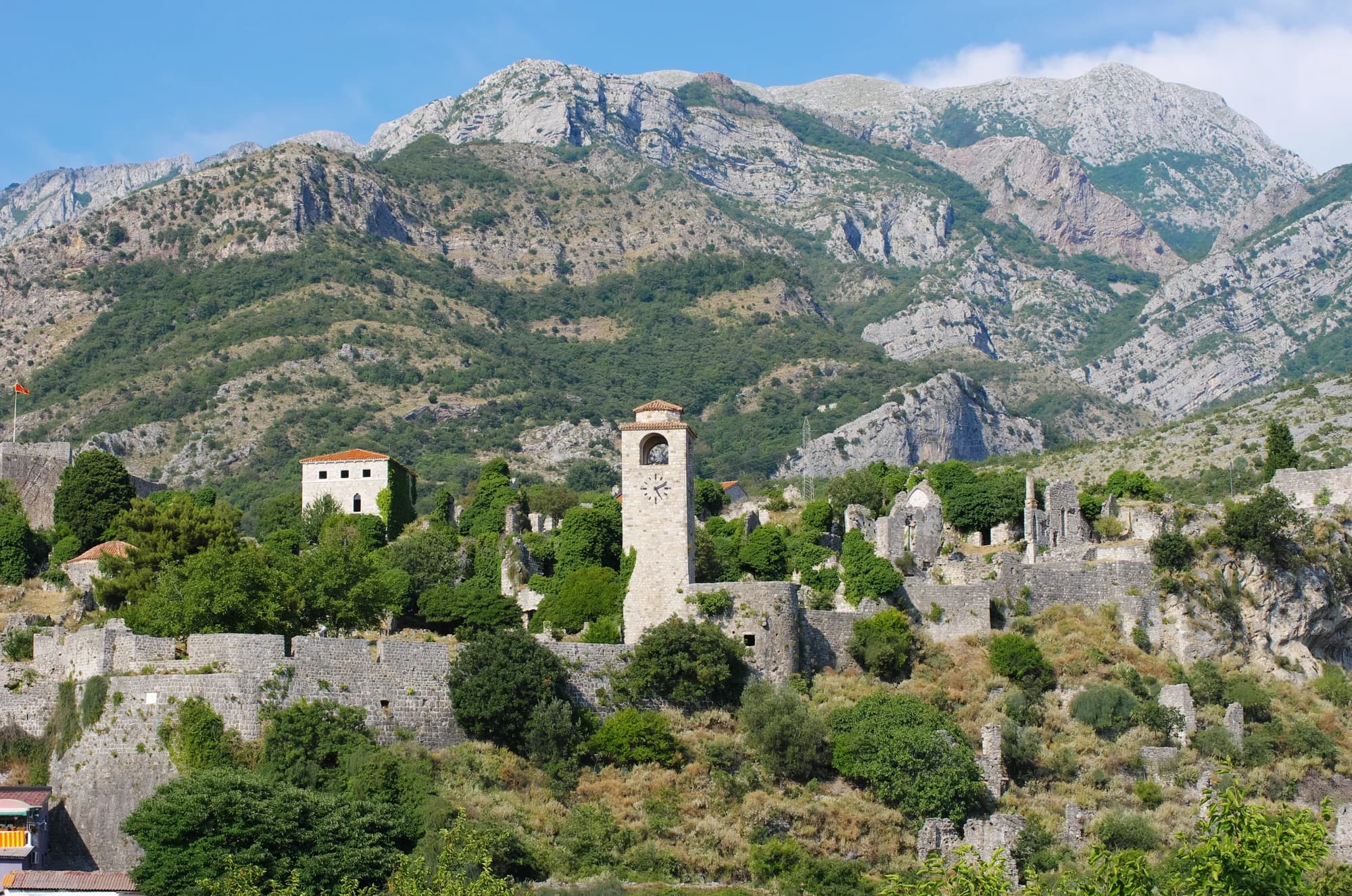
Limestone and scrub on Rumija 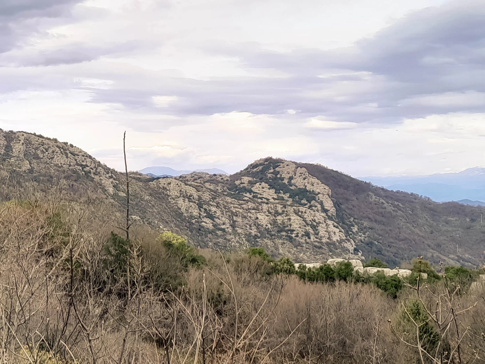
The view down to the coast