Cumbre · Rumija · 1594 m
Rumija
Nuestro veredicto
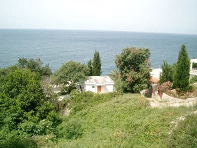
La cresta que separa el lago Skadar del Adriático, lo que significa que la cumbre tiene el mar a un lado y el lago al otro: la mejor vista del sur del país. Cada año se sube una cruz a la cima en una antigua procesión desde los pueblos de abajo.
La parte honesta
Es una cresta caliza orientada al sur sobre la costa y en ella no hay sombra ni agua. En julio y agosto, a media mañana la caminata ya es realmente agotadora.
Cuándo ir
De octubre a mayo es la ventana sensata, al contrario que en la mayor parte de este atlas. En pleno verano, esta cresta es calurosa, seca y expuesta.
- Día de cumbre
- Vistas
- Ruta de un día
Dónde están
Cuánto hay, y cuánto se sube
Desde el aparcamiento más cercano, Rumija son 1.77 km de camino y 652 m de subida, empezando a 988 m.
- Distancia
- 1.77 km
- Desnivel
- 652 m
- Desde
- 988 m
- Hasta
- 1580 m
Medido sobre la propia red de senderos de OpenStreetMap desde el nodo más cercano al que se puede llegar en coche, con altitudes del DEM Copernicus muestreadas en cien puntos. El desnivel es la subida total incluidos los descensos intermedios, no la diferencia entre los extremos. Un modelo de 90 m suaviza los escalones cortos y empinados, así que tómelo como un mínimo.
Sin tiempo de marcha, a propósito. La distancia y el desnivel se miden; el ritmo es de cada uno. Cada «cuatro o cinco horas» que hay en la red es una estimación disfrazada de dato.
El camino de subida también pierde 60 m, algo que una cifra neta ocultaría.
Cuánto frío hace
A 1580 m, Rumija promedia una máxima diaria de 0.6 °C en ene y de 21.0 °C en ago. Esa es la parte del registro que podemos defender aquí; más abajo explicamos por qué no hay espesores de nieve.
Por qué aquí no hay espesores de nieve
El reanálisis sitúa Rumija a 1580 m con una máxima diaria de 0.6 °C en el mes más frío, y luego informa de un espesor máximo de 15 cm en 10 inviernos. Las dos cosas no pueden ser ciertas. El espesor de nieve no se corrige por altitud como la temperatura: es el valor de una celda de unos nueve kilómetros, y en esta cresta esa celda es sobre todo terreno bajo junto a un mar cálido. Así que publicamos las temperaturas, que son sólidas, y ningún espesor. Dé por hecho que el invierno aquí es nevado y consulte la medición de la estación de arriba.
| Mes | Máxima diurna |
|---|---|
| ene | 0.6 °C |
| feb | 2.5 °C |
| mar | 4.5 °C |
| abr | 8.0 °C |
| may | 12.0 °C |
| jun | 17.3 °C |
| jul | 20.6 °C |
| ago | 21.0 °C |
| sept | 15.9 °C |
| oct | 11.1 °C |
| nov | 6.6 °C |
| dic | 2.7 °C |
Las temperaturas están corregidas a 1580 m, la altura del terreno en el punto que consultamos; la cumbre está a 1594 m. El espesor de nieve no está corregido: es una celda de unos nueve kilómetros, así que léalo como el macizo y no como la cumbre.
Reanálisis de ERA5-Land (Copernicus), servido por Open-Meteo.
Rumija, en datos
La montaña
| Cumbre | 1594 mOpenStreetMap peak node, ele 1594 (Q1785716) |
|---|---|
| Macizo | Rumija |
| Tipo | Cumbre |
| Altitud de referencia | 1580 mLa altitud a la que está corregido el registro de temperatura. La cumbre está a 1594 m. |
Cómo subir
| Inicio de la ruta | Sobre Bar, por la antigua carretera hacia Sutomore y los pueblos de la cresta |
|---|---|
| Dificultad | Una ruta de montaña |
| Carretera | Pista de grava en el tramo superior |
| Aparcamiento | En la carretera |
| Autobús | Sin comprobar |
| Ruta señalizada | Sí |
Allí arriba
| Refugio | Ninguno cartografiado en un radio de 8 km |
|---|---|
| Agua | Manantiales cartografiados en 4 km |
| Comida | No hay |
| Aseos | No |
| Abrigo | No |
| Cobertura móvil | Sí |
Peligros
- Sin agua y sin sombra en la cresta
- Calor en verano
Datos comprobados por última vez contra sus fuentes el 30 de septiembre de 2026.
De dónde vienen estos datos
- OpenStreetMap natural=spring and amenity=drinking_water nodes within 4 km for the water field
- OpenStreetMap tourism=alpine_hut and wilderness_hut nodes, searched country-wide for the nearest mountain hut
- OpenStreetMap peak node for the elevation and position
- Our Rumija guide
- Open-Meteo ERA5-Land archive 2015–2025 for the temperature record; no snow record is published for this ridge
Fotografías
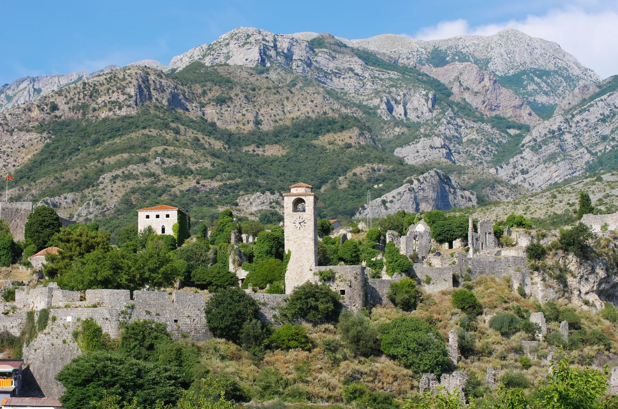
Caliza y matorral en Rumija 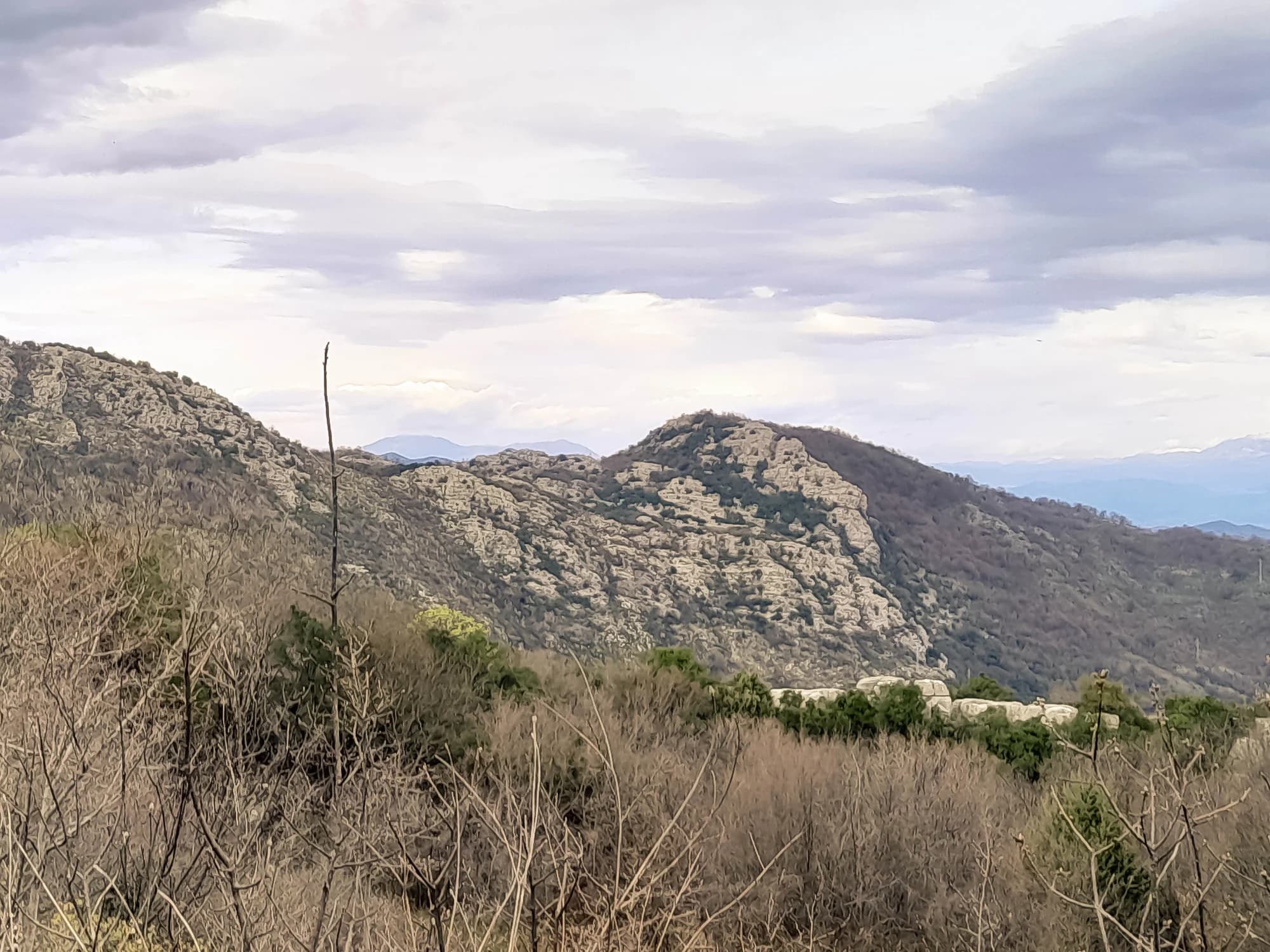
La vista hacia la costa