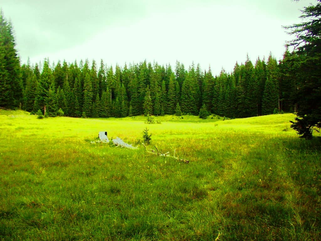
Durmitor is not on the World Heritage List simply because it is beautiful. UNESCO recognises a 32,100-hectare natural property whose glaciers, limestone, canyons, forests, lakes and species meet three different tests of Outstanding Universal Value. That distinction changes how to visit: Black Lake is an accessible introduction, not the whole property; a summit is not required; and a road, trail or tourism facility can create conservation questions even when it offers a dramatic view.
This guide explains the protected landscape before turning it into an itinerary. It separates the World Heritage property from the much larger Tara River Basin Biosphere Reserve, reads the latest final World Heritage Committee decision, and turns current park information into choices for a short visit, a full day or a mountain day. For trail-by-trail ideas, use the separate Montenegro hiking guide; for destination logistics beyond the UNESCO lens, continue to the complete Durmitor guide.
The UNESCO fact pattern, corrected
What the sources say
The current UNESCO World Heritage record identifies Durmitor National Park as a Natural World Heritage property of 32,100 hectares. It was inscribed in 1980 and modified in 2005. UNESCO explains that the 2005 extension made the property coincide with the national-park boundaries then in force. That is the authoritative starting point—not the inherited article’s claims of a 39,000-hectare park with only 20,000 hectares under UNESCO protection.
The property is inscribed under natural criteria (vii), (viii) and (x). It is not a mixed natural-and-cultural World Heritage property. Cultural landscapes, seasonal grazing, historic routes and local communities matter to Durmitor’s lived reality, but UNESCO’s formal inscription rests on natural values. This distinction prevents a common mistake: attaching any old building or legend in the region to the reasons for World Heritage listing.
Durmitor also lies at the heart of the Tara River Basin Biosphere Reserve, nominated in 1976. UNESCO’s Man and the Biosphere programme gives that reserve an area of 182,889 hectares. A biosphere reserve connects conservation, research, education and sustainable livelihoods across core, buffer and transition landscapes. It is not another name for the national park and does not create the same mapped boundary as the World Heritage property.
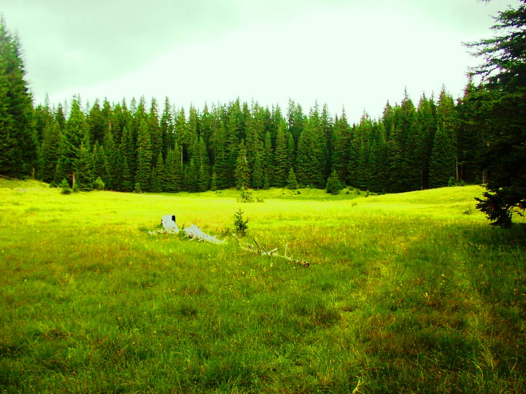
What the three criteria actually mean
Criterion (vii) is exceptional natural beauty. UNESCO points to the contrast between high plateaus, alpine meadows, rugged peaks, dense forests, glacial lakes and deep river canyons. The Tara gorge is a defining element, but the criterion concerns the combined landscape rather than one viewpoint or photograph.
Criterion (viii) is Earth history and landform. Durmitor’s thick and contorted limestone, glacial features, karst processes, canyons, caves and underground drainage form a record of how the massif developed. A lake therefore matters not only as scenery. It can be connected to subterranean water and past glaciation. The exposed rock walls of the canyons also reveal formations rather than merely framing a rafting corridor.
Criterion (x) is biodiversity. The property spans an elevation gradient from canyon floors to summits above 2,500 metres, bringing together forests, grasslands, rivers, lakes, cliffs and caves. UNESCO highlights rare and endemic plants, old-growth black pine and species including brown bear, grey wolf, wild cat, river otter, raptors and Danube salmon. This is habitat evidence, not a wildlife-sighting promise.
| Criterion | Recognises | Elements |
|---|---|---|
| (vii) | SCENIC VALUE | peaks • lakes • canyons |
| (viii) | EARTH HISTORY | limestone • glaciers • karst |
| (x) | BIODIVERSITY | habitats • species • endemics |
Source: whc.unesco.org
Black Lake is the introduction, not the definition
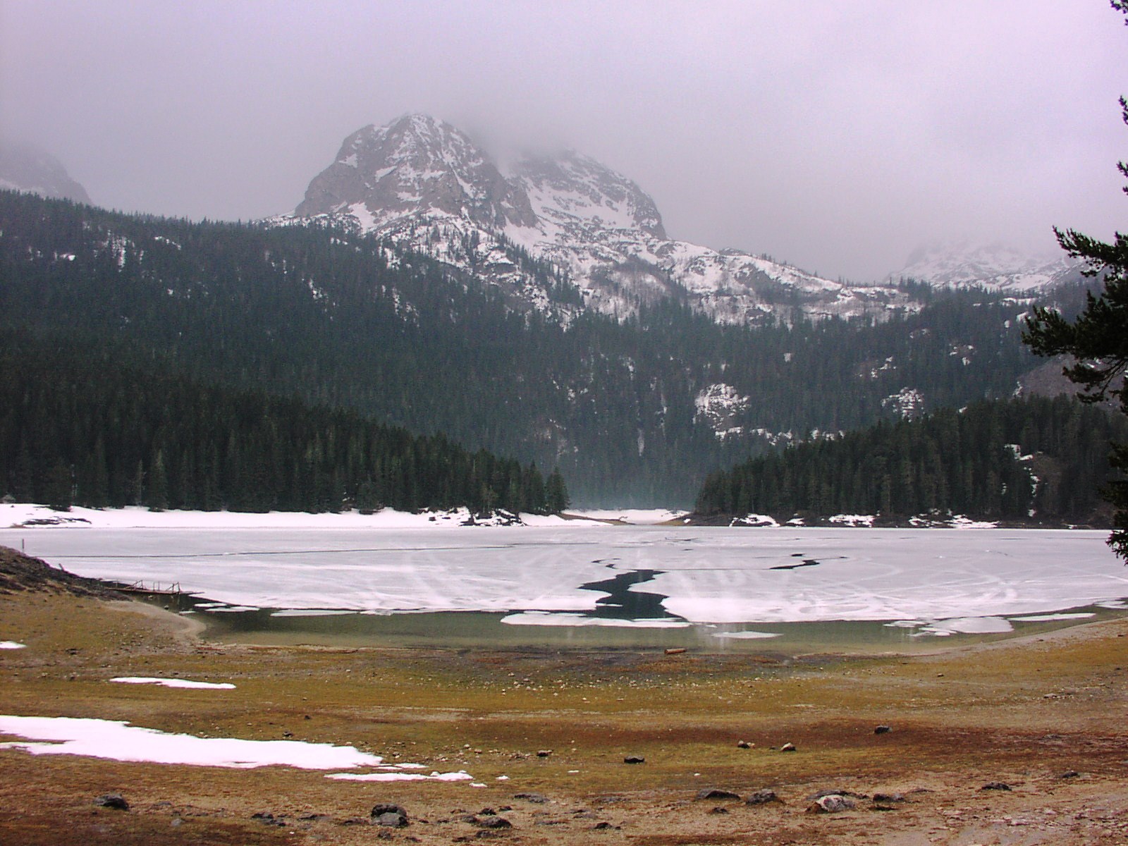
Black Lake is the most practical first encounter because the visitor infrastructure and educational circuit concentrate interpretation near Žabljak. The national-parks educational page describes a roughly 4-kilometre circuit and estimates about one hour. That estimate does not certify a step-free surface, fixed water level or winter passability. Roots, mud, snow, ice, maintenance and individual pace can change the experience.
The live park tariff listed a €5 day ticket when researched, including the visitor centre on the Black Lake shore and educational trails. It also listed a €13.50 annual ticket covering all Montenegro national parks. Treat both as dated checks: confirm the current price, age exemptions, included services and payment method on the official page or at the park. Boat, kayak, equipment and guide entries in the tariff are separate services, not proof that stock or weather permits them on a chosen day.
For the complete circuit, seasonal access and shore etiquette, use the dedicated Durmitor and Black Lake guide. The important UNESCO lesson is that the lake belongs to a connected geological and ecological system. Stay on the established route, carry waste out, keep water and forest edges undisturbed, and do not treat a clear reflection as evidence that swimming, boating or ice access is safe.
Do not turn the “mountain eyes” into a checklist
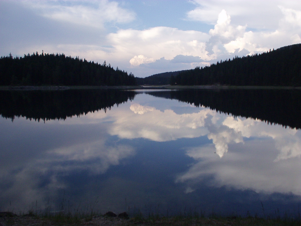
Durmitor’s glacial lakes are often packaged as a single numbered attraction. Published counts can vary with definition, hydrology and whether a source means the massif or the park. The inherited article itself alternated between seventeen and eighteen. A responsible visit does not need to resolve that slogan. It needs to understand that different lakes sit in different terrain, with different access burdens and conservation sensitivity.
Choose a lake route because it fits current conditions, navigation skill and time—not because a list says every “eye” must be collected. Never infer safe water temperature from a calendar month. Avoid soap, food waste, fishing without the required permit, shoreline shortcuts and drone disturbance. A quiet surface may be ecologically active and logistically remote.
A listed trail is not an open trail
The park’s activity page lists 25 mountain-hiking routes totalling about 150 kilometres. The proposed 2026–2030 management plan adds essential context: earlier marking and signage were insufficient and had caused orientation problems, especially for foreign visitors. The proposal describes training park staff as licensed trail markers and a need for regular maintenance and improved signs. It is evidence of diagnosed needs and intended work, not a final adopted measure.
On 30 April 2026, Durmitor National Park explicitly asked visitors not to use mountain trails or organise summit ascents because heavy snow and weather made conditions unfavourable. That was a dated spring warning, not a permanent closure and not today’s August report. Its significance is methodological: “summer trail” and “open on the map” are not condition reports. Snow can persist, storms can arrive quickly, and cloud can remove the visual cues visible in a sunny photograph.
Before any high route, check the park’s latest notice and local forecast; ask about snow, water, waymarking and damaged sections; carry an offline map and sufficient battery; tell someone the route and return time; and set a turnaround threshold. Montenegro’s Mountain Rescue Service advises planning the route, checking weather and equipment, informing others, and avoiding high mountains in winter without experienced companions. Bobotov Kuk, Ice Cave and Škrčka Lakes are mountain objectives, not automatic extensions of a Black Lake walk.
A traveller based in town should also separate the park from the service hub. Our Žabljak and Durmitor planner covers the accommodation-and-access relationship. A town forecast, clear pavement or operating café does not establish high-route conditions.
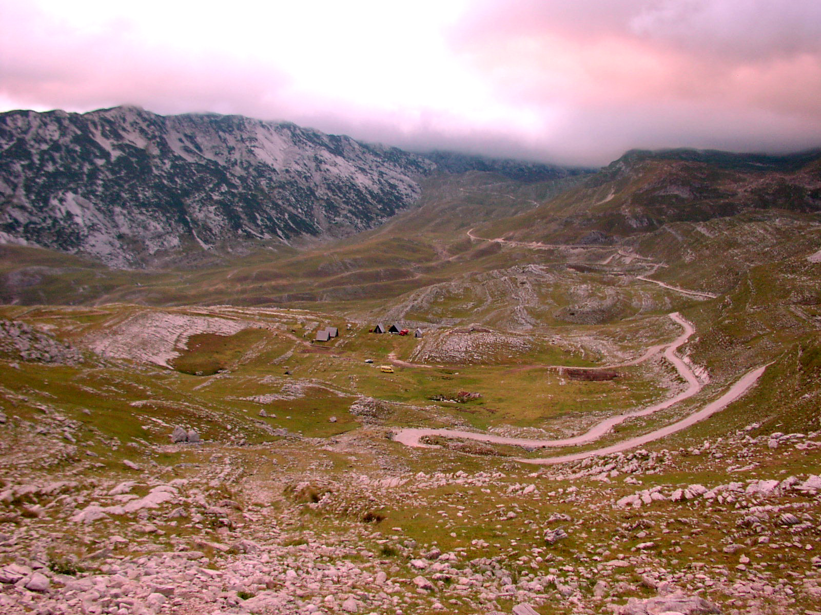
| Route | What it demands |
|---|---|
| VISITOR CENTRE / BLACK LAKE CIRCUIT | surface + current notice |
| FOREST / REMOTE LAKE ROUTE | navigation • time • water • signs |
| HIGH MOUNTAIN | weather • snow • equipment • retreat |
Source: nparkovi.me, gss-cg.me
Tara Canyon: designation, distance and activity are separate
UNESCO’s biosphere-reserve record describes the Tara Canyon as about 80 kilometres long and up to 1,300 metres deep. The World Heritage statement emphasises that its undammed, largely roadless gorge and exposed rock formations are central to Durmitor’s value. Avoid the habitual “second deepest canyon in the world” claim: depth comparisons depend on definitions and are unnecessary when UNESCO already supports a precise European and geological significance.
Seeing the canyon from a viewpoint, crossing the Đurđevića Tara bridge, walking near an edge and rafting the river are four different activities. Each has its own access, weather, operator, equipment and conservation decisions. A bridge stop does not confirm a rafting departure; a rafting booking does not give permission to enter closed sectors; a road viewpoint may still have unguarded drops and traffic.
The biosphere reserve’s much larger scale also explains why an impact outside the World Heritage boundary can still matter downstream. Watersheds connect roads, mines, hydropower proposals and river habitats. UNESCO’s 2025 decision welcomed continued monitoring of downstream motorway effects and the suspension of the Brskovo zinc-and-lead mining proposal, while requesting updates and World-Heritage-aware assessment for hydropower proposals.
World Heritage status is active scrutiny
The latest final Committee decision located in this research is from 2025. It welcomed Montenegro’s work to align the national-park boundary with the World Heritage property as it existed before 2013. It also welcomed an intention to add areas and recommended a future minor boundary modification and buffer zone once the national-park expansion is finalised. That language describes unfinished governance work; it does not prove a completed 2026 expansion.
The same decision said that expanding ski infrastructure inside the property would constitute ascertained danger to Outstanding Universal Value. It raised concern about reported artificial-snowmaking installation and requested clarification. This should not be flattened into “skiing is banned.” The issue is infrastructure expansion and its effect on protected values, not the existence of every winter activity.
What the sources say
On 4 June 2026, the Government of Montenegro published a package of proposed 2026–2030 management plans for its national parks, including Durmitor. The Durmitor document itself is marked PREDLOG—proposal—so this guide does not treat its measures as finally adopted. Visitors do not need to master the administrative sequence, but they should recognise that management, boundary alignment, trail maintenance and impact assessment are current processes—not historical footnotes beneath a UNESCO logo.
| Year | Milestone |
|---|---|
| 1980 | inscribed |
| 2005 | extended |
| 2025 | conservation decision |
| 2026 | plan period |
Source: whc.unesco.org, gov.me
Share habitat without seeking an encounter
Brown bears, wolves and other large mammals are part of the biodiversity case for Durmitor, but sightings are neither required nor predictable. National Parks of Montenegro advises visitors to move in groups on marked trails, avoid leaving food or waste, and, during a bear encounter, withdraw without running, sudden movements or stopping for photographs. Keep children close and dogs under the rules in force; food scraps and unsecured rubbish can create risk for both wildlife and people.
Do not collect flowers, mushrooms or medicinal plants because they appear abundant. The park tariff itself lists permits for gathering forest products, demonstrating that collection is regulated. Likewise, fishing fees do not mean any person may fish any water with any equipment. Confirm the specific water, season, permit and method.
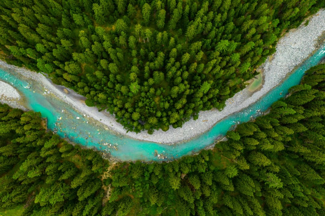
The dossier in one table
| Field | UNESCO record | Common mistake |
|---|---|---|
| Property type | Natural World Heritage | Calling the inscription “natural and cultural.” |
| Inscription | 1980; modification in 2005 | Treating UNESCO status as a one-time award with no later boundary work. |
| Area | 32,100 hectares | Repeating an inherited 20,000-hectare UNESCO figure or mixing it with a park-area claim. |
| Criteria | (vii), (viii), (x) | Using nearby monuments as if they were the inscription basis. |
| Core landscape | Durmitor massif and Tara canyon system | Assuming every place marketed as “Durmitor” lies inside the property. |
| Related designation | Tara River Basin Biosphere Reserve, 182,889 hectares | Using biosphere-reserve and World Heritage boundaries interchangeably. |
| Current oversight | Periodic state-of-conservation decisions | Assuming inscription prevents every damaging proposal automatically. |
Three protected scales, three different jobs
Durmitor National Park, the World Heritage property and the Tara River Basin Biosphere Reserve are related, but they are not synonyms. UNESCO records the World Heritage property at 32,100 hectares. Its Man and the Biosphere programme gives the Tara River Basin reserve as 182,889 hectares—more than five times larger—and describes a landscape that includes communities and wider resource relationships.
The national park is a domestic legal and management unit. The World Heritage property is the area recognised for Outstanding Universal Value under the Convention. The biosphere reserve is a larger programme landscape intended to connect conservation, research and sustainable development. A map pin cannot explain all three.
This distinction matters when evaluating a development, choosing a route or describing a conservation success. “Outside the national park” does not automatically mean irrelevant to the biosphere reserve or to views, water and wildlife connected with the World Heritage property. Equally, an activity elsewhere in the biosphere reserve is not automatically inside the World Heritage boundary.
The boundary is a conservation instrument
Durmitor was inscribed in 1980. UNESCO says a 2005 extension made the World Heritage property coincide with the national-park boundaries then in force. That did not end the story. The World Heritage Committee’s 2025 decision welcomed work towards restoring park boundaries to their pre-2013 alignment and recommended that, after expansion is finalised, Montenegro submit a minor boundary modification and establish a buffer zone.
Those verbs matter: “welcomed,” “recommended,” “after” and “submit” describe a process. They are not proof that a 2026 extension and buffer zone are already complete. A responsible article reports the last confirmed decision instead of drawing a new boundary from political announcements.
| Stage | Status |
|---|---|
| 1980 | inscribed |
| 2005 | extended |
| 2025 | alignment welcomed |
| FUTURE | submission recommended |
Source: whc.unesco.org
Four conservation questions active in the record
Boundary integrity: Do domestic park lines and the World Heritage property protect the same values, and will a buffer zone address outside pressure? Transport infrastructure: Are motorway effects measured over time rather than dismissed after construction? Hydropower: Are proposals assessed for their full World Heritage impact before decisions? Ski development: Does new infrastructure enter the property or damage its Outstanding Universal Value?
On ski expansion, the Committee used unusually strong language: expansion of ski infrastructure within the property would constitute ascertained danger. That is not a claim that all existing skiing is banned. It is a boundary- and impact-specific warning about further development inside the World Heritage property.
| Pressure | Required response |
|---|---|
| BOUNDARY | align + buffer |
| MOTORWAY | monitor effects |
| HYDROPOWER | assess first |
| SKI EXPANSION | inside property: danger |
Source: whc.unesco.org
This is why rankings and “last chance” travel language can mislead. Our audit of international coverage of Montenegro shows how repetition can turn claims into received wisdom. UNESCO monitoring is slower and more exacting: it asks what changed, what evidence exists and whether value remains intact.
A proposed plan is not an adopted plan
In June 2026 the Government published a package of proposed national-park management plans for 2026–2030. The Durmitor document itself is marked Predlog—proposal. It contains useful diagnosis, including an observation that earlier trail marking and signage were insufficient and caused orientation problems, especially for foreign visitors. But useful diagnosis does not turn the proposal into final law or an adopted operating programme.
The correct editorial pattern is: identify the document’s status, attribute the observation, and check later for adoption. The wrong pattern is to say “the 2026–2030 plan requires…” without proof it entered force. This distinction also matters when comparing park governance with Biogradska Gora National Park.
Choose a visit that matches the evidence
| Available time | Coherent plan | Required current check | Do not assume |
|---|---|---|---|
| 2–3 hours | Visitor centre and part or all of the Black Lake educational circuit | Entry, surface, weather and daylight | Step-free loop, boat availability or safe ice |
| Full easy day | Black Lake plus one confirmed forest, lake or canyon viewpoint | Road, trail, parking and return margin | Every mapped road suits every vehicle |
| Mountain day | One route matched to experience, equipment and verified conditions | Snow, storms, marking, water and turnaround time | A listed route is open or rescue is rapid |
First-time visitors often benefit from less movement, not more. A lake-and-forest day can reveal criteria (vii), (viii) and (x) without reaching a summit. A broad national itinerary may pair Durmitor with the old-growth forest experience in our Biogradska Gora guide, but the parks should remain separate days. Our Grand Tour planning essay and five-stop Montenegro guide show how to preserve that breathing room.
International travel coverage often compresses Durmitor into a lake, bridge or summit photograph. The twenty-year press review of Montenegro provides useful context for that image-making. The corrective is not to reject the famous views. It is to understand the protected systems that make them possible.
Practical decision checklist
- Define the day: visitor circuit, low route or high mountain—do not let a short walk silently become a summit attempt.
- Check official status: read the latest park notice, then confirm the specific road or trail rather than asking whether “Durmitor is open.”
- Match conditions: compare snow, storm, visibility and surface information with the least experienced person’s equipment and skill.
- Protect the return: set a turnaround time, keep navigation and phone power in reserve, and tell another person the route.
- Leave one component optional: if weather removes the mountain objective, use the visitor centre or a verified lower route without improvising.
Frequently asked questions
Is all of Durmitor a UNESCO cultural and natural site?
No. UNESCO lists Durmitor National Park as a Natural World Heritage property under criteria (vii), (viii) and (x). The region has cultural heritage and living communities, but those are not additional cultural inscription criteria for this property.
How large is the UNESCO property?
The current World Heritage record gives 32,100 hectares. The Tara River Basin Biosphere Reserve is a separate designation covering 182,889 hectares. Do not use either number as the area of the other.
Is the Black Lake loop always open and easy?
No. The park describes an approximately 4-kilometre educational circuit and estimates about one hour, but snow, ice, mud, roots, maintenance and closures can change it. The estimate is not an accessibility certification.
Does a park trail list mean I can hike Bobotov Kuk today?
No. The park publishes a trail network, while its proposed 2026–2030 plan acknowledges past marking and orientation problems. A dated April 2026 notice also warned visitors off high routes during heavy snow. Verify the specific route and conditions, then match them to equipment and experience.
Is Tara the world’s second-deepest canyon?
This guide does not use that unstable comparison. UNESCO’s biosphere-reserve record supports a canyon length of about 80 kilometres and a depth reaching 1,300 metres, while the World Heritage record explains its European, geological and ecological significance.
What does the €5 ticket include?
When researched, the official tariff said the Durmitor day ticket included the Black Lake visitor centre and educational trails. Rentals, guides and other activities had separate entries. Recheck current prices, inclusions and availability before travel.
Does UNESCO status mean every project is banned?
No. It means Montenegro must protect Outstanding Universal Value and evaluate threats. The 2025 decision addresses specific boundary, motorway, hydropower and ski-development concerns.
Was the buffer zone finished in 2026?
The 2025 Committee decision recommended a future minor boundary modification and buffer zone after park expansion is finalised. This dossier does not claim those steps were completed.
Is the 2026–2030 management plan final?
The located government package and Durmitor document are explicitly proposals. Their observations can be attributed, but their measures should not be described as adopted without a later decision.