Choose Durmitor for sharper limestone drama; choose Bjelasica for a more gradual lake, forest and high-pasture progression. That is a trip-design distinction, not a claim that one massif is easy. Both require a defined route, current weather, transport and a turnaround.
This decision guide corrects the old “Durimitor” spelling while retaining the legacy URL. It complements the complete Durmitor guide and the Biogradska Gora park guide; it does not duplicate either destination profile.
Practical choice: match the mountain to the day
| Priority | Stronger first fit | Why | Control before leaving |
|---|---|---|---|
| Jagged peaks and limestone walls | Durmitor | Karst massif, cirques and canyon relief | Exposure, snow, route grade |
| Lake-and-forest introduction | Bjelasica / Biogradska Gora | Lake Biograd is the park's central visitor start | Road, parking, trail surface |
| Rail-connected base | Bjelasica | Kolašin is on the Belgrade–Bar railway | Current timetable and onward transfer |
| Tara Canyon pairing | Durmitor | Bridge, viewpoints and river itineraries sit in the wider region | Do not combine distant stops casually |
| First reversible mountain day | Either | Black Lake or Lake Biograd can anchor a modest plan | Accessibility and conditions are not identical |
| High summit day | Either | Both rise above 2,000 metres | Route-specific guide and forecast |
If one day is all you have, do not “cover” both. Use Žabljak for Durmitor or Kolašin for Bjelasica, solve one access problem and keep a low-commitment fallback. The Žabljak guide helps with the western base; the Kolašin status audit in the former mountain-hotel investigation is useful when a booking page looks stale.
| Massif | Base | Primary experience | Context |
|---|---|---|---|
| Durmitor | Žabljak base | limestone peaks + cirques | canyon and Black Lake context |
| Bjelasica | Kolašin base | forest + Lake Biograd | rounded high-pasture landscape |
| Note | — | Neither answer replaces a route-specific safety check. | — |
Source: whc.unesco.org, montenegro.travel
Different geology, different visual rhythm
UNESCO describes Durmitor as a high limestone massif in the Dinarides. Peer-reviewed glacial research explains that its former glaciers developed across carbonate bedrock and an adjacent karst plateau. That combination helps explain abrupt cirques, broken limestone, caves and strongly incised relief. It does not make every Durmitor trail technical, but it should stop visitors treating straight-line map distance as effort.
A Montenegro government planning document describes Bjelasica's landforms as developing in heterogeneous geology shaped by volcanic and sedimentary processes. That is more precise than tourism copy calling it simply “the volcanic mountain.” Its grassier, rounder skyline often looks gentler than Durmitor's limestone walls, but wet turf, fog, snow, long distance and poor navigation can still create a serious mountain day.
Both massifs carry glacial evidence and lakes. The important visitor distinction is the sequence: Durmitor can move quickly from plateau to stark rock; Bjelasica often moves through forest and pasture before its higher ground. Route choice matters more than the massif label.
| Massif | Landscape character |
|---|---|
| Durmitor | carbonate · karst · cirques · sharp relief |
| Bjelasica | mixed geology · forest · pasture · broad ridges |
| Note | Landscape character is not a difficulty rating. |
Source: whc.unesco.org, ojs.zrc-sazu.si, wapi.gov.me
National park is not the same as massif
The Durmitor World Heritage property is the 32,100-hectare Durmitor National Park. UNESCO's boundary record is the controlling figure for the property. The inherited page's 39,000-hectare park and 20,000-hectare UNESCO split mixed definitions and is removed.
Biogradska Gora National Park protects the central Bjelasica massif, but its current 2026–2030 management plan is internally inconsistent on exact area: the legal-status table gives 5,650 hectares, while later narrative gives 5,620 hectares. Treat the 30-hectare difference as an unresolved document discrepancy, not a visitor boundary. Bjelasica itself extends beyond the park. A ski area, katun or high route described as “Bjelasica” is not automatically inside the national park, and a park ticket does not pay for a commercial lift, guide or accommodation outside it.
This boundary discipline matters when asking about dogs, bikes, fires, camping, fishing, drones or collecting plants. Identify the land manager and zone for the exact place; never infer permission from a regional name.
2026 fees and the annual-pass conflict
The current Durmitor price list charges €5 per person per day, including the Black Lake visitor centre and educational paths. The Biogradska Gora list charges €4 with the equivalent visitor-centre and educational-path wording.
Extras remain separate. At Biogradska Gora, the published list includes €10 per hour for a boat, €3 for a single kayak, €5 for a double kayak, €40 for four hours of guide service and €80 for eight hours. It also publishes hourly parking categories. Availability, weather, capacity and operating hours still require confirmation.
The 2026 all-parks pass is priced at €13.50. Its launch announcement said online and physical sale, but the live checkout now says online sales are suspended and directs visitors to ask about physical points. Treat that live notice as controlling. The arithmetic can be useful; availability is not proven until a sales point confirms it.
Lake day: Black Lake or Lake Biograd?
Choose Black Lake when the lake is part of a broader Durmitor and Žabljak stay. Choose Lake Biograd when the forest-lake experience is the main event and Kolašin is the base. Both have visitor infrastructure; neither should be advertised as universally step-free without checking the complete route, parking, toilet and seasonal surface.
The National Tourism Organisation calls Lake Biograd the park's central starting point and describes boats, kayaks, camping and visitor-centre services around it. Its six-lake statement refers to the park landscape, not an easy circuit linking every lake. Higher lakes require their own route plans.
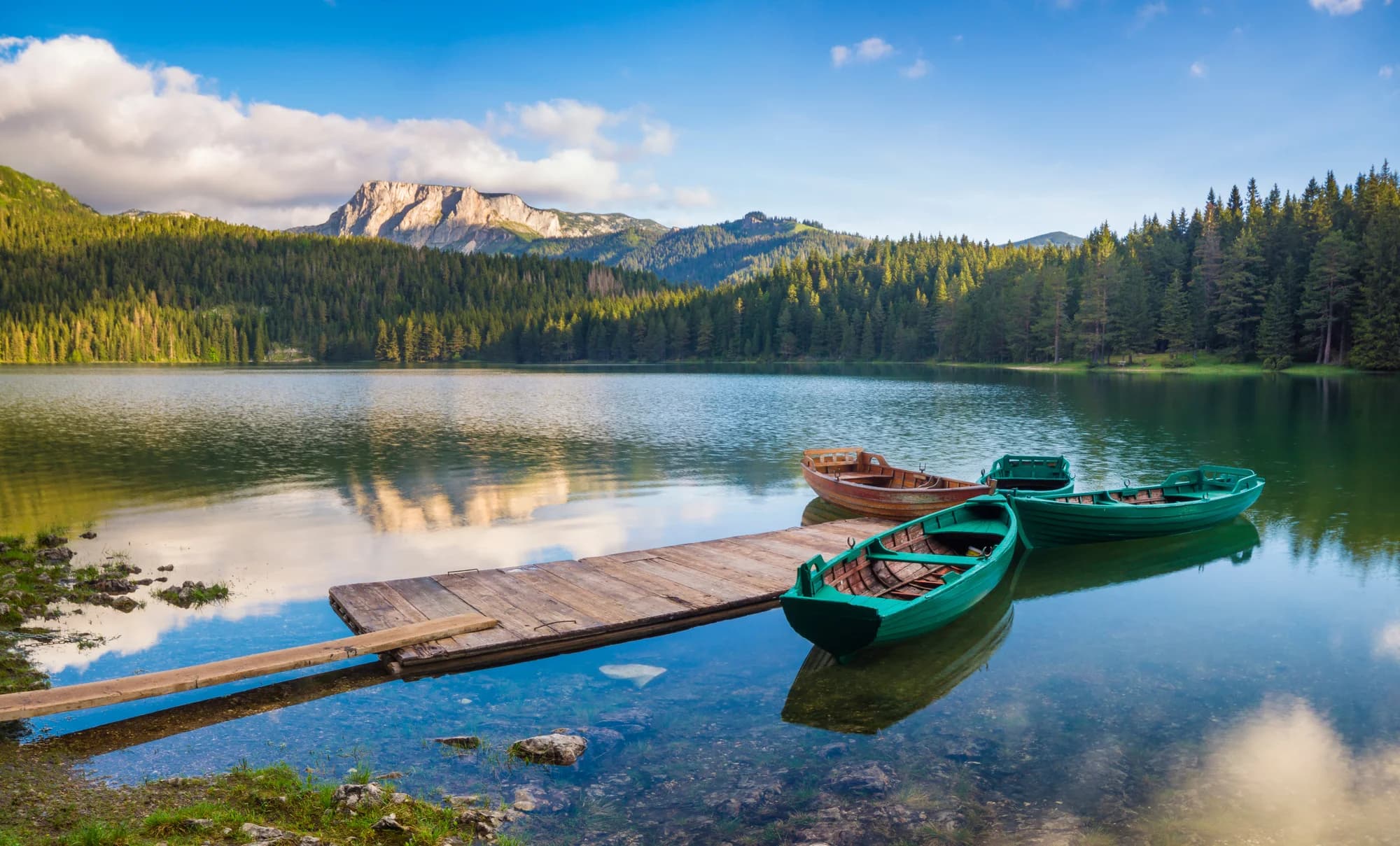
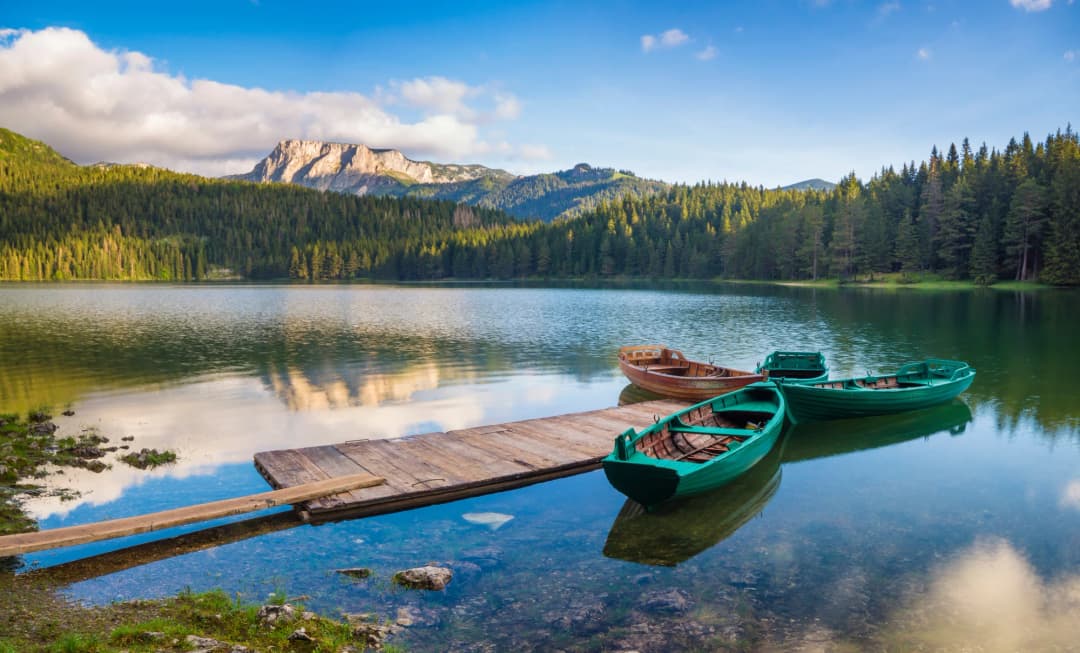
At Black Lake, keep a lake visit distinct from a summit, Ice Cave or Tara itinerary. The Black Lake article gives the focused lake context. Do not use summer air temperature as swimming permission or water-temperature evidence.
Base and transport: Žabljak or Kolašin?
Žabljak is the practical Durmitor base. Kolašin is the practical Bjelasica base and the National Tourism Organisation identifies it as a stop on the Belgrade–Bar railway. That makes Bjelasica the stronger starting point when rail access matters, but a train arrival does not solve the final transfer to Lake Biograd, a ski area or high trailhead.
No authoritative date-specific bus, train or trailhead schedule was established for this comparison. Check the operating carrier, then obtain a written pickup location, departure time, luggage rule, price and last return. Onward taxis and accommodation transfers can change seasonally.
For a road trip, do not combine Lake Biograd, Black Lake and the Tara Bridge merely because they appear close on a national map. Mountain-road pace, parking and stops consume the day. The newly upgraded Tara Canyon guide separates its bridge, viewpoint and rafting logistics.
Route commitment: rounded is not easy
Durmitor's visual exposure is obvious; Bjelasica's can be disguised by grass. A broad ridge in fog can be a navigation problem with few features, while wet turf and remaining snow change footing. Conversely, a defined low route at Durmitor may be more controlled than an improvised Bjelasica traverse.
Ask the park visitor centre or licensed guide for distance, total ascent, highest point, surface, exposure, marking continuity, water, mobile coverage, snow and a realistic turnaround. Do not build a summit plan from one elevation number. Bobotov Kuk at 2,523 metres and Crna Glava at 2,139 metres describe height, not effort from your chosen start.
| Decision | What to check |
|---|---|
| Workload | distance + ascent + pace |
| Ground | surface + exposure + water |
| Conditions | forecast + snow + wind |
| Navigation | track + markings + fog |
| Exit plan | transport + last light + turnaround |
| If one answer is missing | choose the lake or visitor-centre day |
Source: montenegro.travel
Season: choose conditions, not a month
The National Tourism Organisation broadly presents the national parks at their best from May to October, but that is not a high-route opening calendar. Snow can remain above clear roads; thunderstorms, heat, fog and wind can change a day. The Durmitor thaw guide is the safer model: read transitions rather than assuming summer.
In winter, both areas require winter travel decisions. Do not infer lift operation from destination marketing. Check the exact ski operator, live lift status, piste map, weather, road notice and rescue coverage. Independent winter hiking requires appropriate competence and equipment.
Safety and the fallback ladder
The National Tourism Organisation's mountain guidance recommends checking the forecast, using marked routes, wearing layered clothing and non-slip footwear, and carrying water, a charged phone and a light. Add offline mapping, insulation, rain protection, food, first aid and a shared overdue plan. Save 112; the Ministry of Interior says calls and SMS are free and its app can send GPS coordinates by SMS without internet.
A useful fallback ladder is: summit or long traverse; shorter high route; forest or lake route; visitor centre and town. Step down when the forecast, transport, snow, group pace or navigation confidence weakens. Do not replace a cancelled Durmitor summit with an unresearched Bjelasica summit.
| Level | Day |
|---|---|
| 1 | summit or long traverse |
| 2 | shorter high route |
| 3 | forest or lake route |
| 4 | visitor centre + town |
| Note | 112 supports emergencies; it does not make level 1 appropriate. |
Source: montenegro.travel, gov.me
Families and accessibility
For families, begin with one lake and a fixed turnaround. Ask separately about parking distance, gradients, roots, mud, bridges, toilets, seating, boat rules and barriers near water. “Suitable for families” does not define stroller, wheelchair or child-supervision needs.
Lake Biograd's services may make it the more compact activity base; Black Lake may fit better when staying in Žabljak. Neither is declared universally accessible here because no reviewed source provides a complete current step-free specification.
Frequently asked questions
Is Durmitor better than Bjelasica?
No universal answer exists. Durmitor is the stronger fit for limestone peaks and canyon context; Bjelasica for a Kolašin base, forest, Lake Biograd and broad high terrain.
Which is easier?
Neither massif has one difficulty. Compare exact distance, ascent, surface, exposure, snow, navigation and return logistics.
What are the 2026 park fees?
Durmitor is €5 per person per day and Biogradska Gora €4. Activities, parking and services can be separate.
Can I buy the annual pass online?
Not currently. The €13.50 pass checkout says online sales are suspended; confirm a physical sales point.
Which base works without a car?
Kolašin has a railway station, giving Bjelasica the clearer rail-connected base. You still need a current onward plan to the park or trailhead.
Can I visit both in two days?
Possible transport is not a good itinerary by itself. One base per day is the minimum sensible structure; separate access, parking and route checks.
Is Bjelasica volcanic?
Government planning material describes heterogeneous geology shaped by volcanic and sedimentary processes. Calling every part simply volcanic is too broad.
What emergency number applies?
Call 112 in Montenegro. Share a route and overdue time before leaving, because coverage and rescue speed are never guaranteed.
Methodology and source limits
This comparison was checked on 29 August 2026 against UNESCO's Durmitor record; current National Parks price, annual-pass and management-document pages; National Tourism Organisation park, town and safety guidance; Montenegro government geology material; peer-reviewed Durmitor glaciation research; and Ministry of Interior emergency guidance.
The misspelled legacy slug remains stable, but all visible copy uses Durmitor. Conflicting park-area figures, online annual-pass availability and oversimplified geology are disclosed. No current timetable, lift status or universal accessibility promise is invented.
The old expedition quotation, year-round-snow promise, “simple” Ice Cave route, swimming temperature, wildlife sightings and summer-skiing claim were removed. More than twenty loosely captioned archive images were replaced by one licensed Durmitor photograph and sourced comparison graphics; no Bjelasica scene is guessed.