National park · Durmitor · 2,523 m
Durmitor
Nacionalni park Durmitor
Our verdict
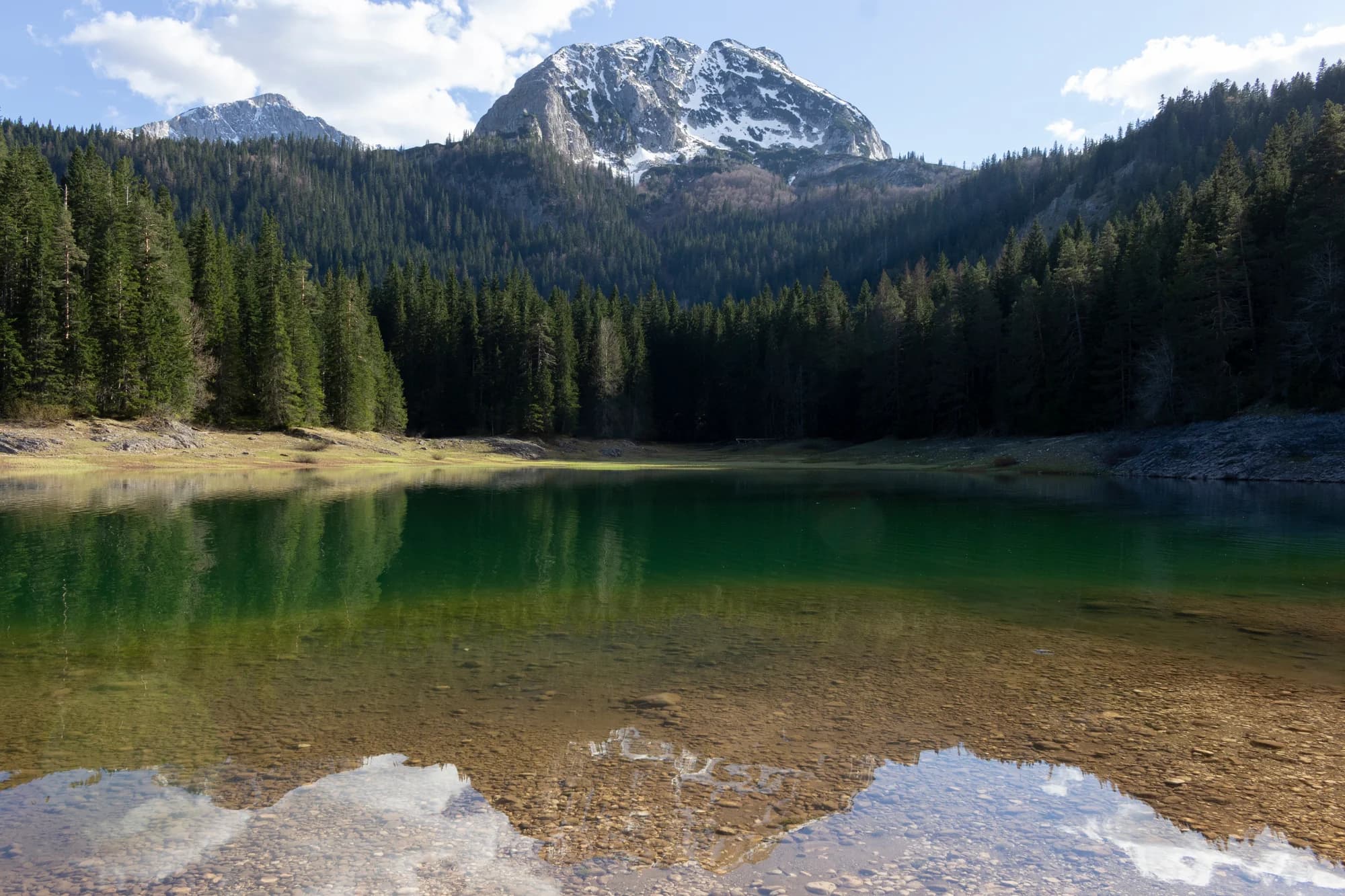
The massif that made Montenegro a mountain country: forty-eight summits over 2,000 m around a plateau of glacial lakes, inscribed by UNESCO in 1980. Black Lake is twenty minutes from Žabljak on a flat path and carries most of the visitors; Bobotov Kuk, Savin Kuk and the Sedlo pass carry almost none of them.
The honest part
The distance between the easy part and the serious part is very short here. Black Lake is a stroll; the ridges above it are exposed, hold snow into June and have no phone signal. The Sedlo road closes for the winter and the date moves with the snow, not the calendar.
When to come
June to October for the high routes, with July and August the only months the ridges are reliably clear. December to March for the skiing at Savin Kuk.
- Day hike
- Summit day
- Lakes
- Views
- Skiing
- Families
Where these are
How far, and how much up
No single route: a park’s coordinate is the middle of a boundary rather than somewhere anyone walks to. The routes are on its summits’ own pages.
When the snow lies
Durmitor is usually clear of a 30 cm base from May to Nov. Outside that window, plan for snow on the ground.
Across the record the ground came reliably under 5 cm around April 20 and went back under snow around November 28. Those are medians of eleven years, not a promise about this one.
| Month | Over 1 cm | Over 30 cm base | Mean depth | Daytime high |
|---|---|---|---|---|
| Jan | 96% | 69% | 47 cm | -4.1 °C |
| Feb | 95% | 67% | 58 cm | -1.9 °C |
| Mar | 91% | 65% | 61 cm | 0.2 °C |
| Apr | 68% | 32% | 33 cm | 4.6 °C |
| May | 12% | 3% | 2 cm | 9.8 °C |
| Jun | — | — | — | 15.3 °C |
| Jul | — | — | — | 18.0 °C |
| Aug | — | — | — | 18.0 °C |
| Sep | 1% | — | — | 13.1 °C |
| Oct | 12% | — | 1 cm | 8.4 °C |
| Nov | 38% | 1% | 3 cm | 3.3 °C |
| Dec | 86% | 29% | 19 cm | -1.3 °C |
The winters vary more than any average suggests. Across 10 winters Durmitor carried a 30 cm base for a median of 75 days: 0 in 2019 and 145 in 2021. Eleven winters is a record, not a climate, and nothing here is a trend.
| Winter | Days over 30 cm | Deepest |
|---|---|---|
| 2015–16 | 39 | 63 cm |
| 2016–17 | 75 | 66 cm |
| 2017–18 | 131 | 140 cm |
| 2018–19 | 113 | 103 cm |
| 2019–20 | — | 25 cm |
| 2020–21 | 132 | 144 cm |
| 2021–22 | 145 | 113 cm |
| 2022–23 | 60 | 65 cm |
| 2023–24 | 3 | 32 cm |
| 2024–25 | 60 | 71 cm |
Temperatures are corrected to 1,970 m, the terrain height at the point we query; the summit is 2,523 m. Snow depth is not corrected — it is a grid cell about nine kilometres across, so read it as the massif rather than the summit.
That cell is shared with Bobotov Kuk, so the snow depths on those pages are these same numbers. The temperatures are not shared — those are corrected to each summit.
Reanalysis from ERA5-Land (Copernicus), served by Open-Meteo.
Durmitor, in facts
The mountain
| Summit | 2,523 mBobotov Kuk, the massif’s summit, OSM node 26863579 (ele 2523) |
|---|---|
| Massif | Durmitor |
| Kind | National park |
| Record height | 1,970 mThe elevation the temperature record is corrected to. The summit is 2,523 m. |
Getting up it
| Trailhead | Žabljak, and the Sedlo pass road for the high routes |
|---|---|
| Difficulty | A hike |
| Road | Sealed to Žabljak and over Sedlo; the pass road closes in winter |
| Parking | Paid |
| Bus | Žabljak is served from Podgorica and Nikšić |
| Marked route | Yes |
Up there
| Hut | Sušica planinarski dom, on the massif’s eastern side |
|---|---|
| Water | Springs mapped within 4 km |
| Food | Restaurant |
| Toilets | Yes |
| Shelter | Not checked |
| Mobile signal | Not checked |
The park
| Area | 323 km²Measured from the park’s own OpenStreetMap relation 10241242. Guides commonly quote 390 km², which takes in the Tara canyon buffer outside the park boundary. |
|---|---|
| UNESCO | World Heritage, inscription 100 |
| Entry | Not checked |
Rules worth knowing
- Drone and commercial filming require written permission from the park authority
- Camping outside marked sites is not permitted
Hazards
- Exposed ridges above the plateau
- Late-lying snow in gullies into June
- Sudden afternoon storms in summer
Facts last checked against their sources on September 30, 2026.
Where these facts come from
- OpenStreetMap natural=spring and amenity=drinking_water nodes within 4 km for the water field
- OpenStreetMap relation 10241242 for the boundary, area and the UNESCO reference (ref:whc 100)
- Our Durmitor guide for the plateau, Black Lake and Žabljak
- Open-Meteo ERA5-Land archive 2015–2025 for the snow and temperature record
- JP Nacionalni parkovi Crne Gore for the park rules
Photographs
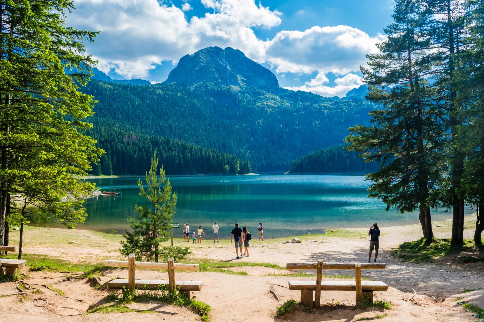
Glacial lake water and pine on the Durmitor plateau 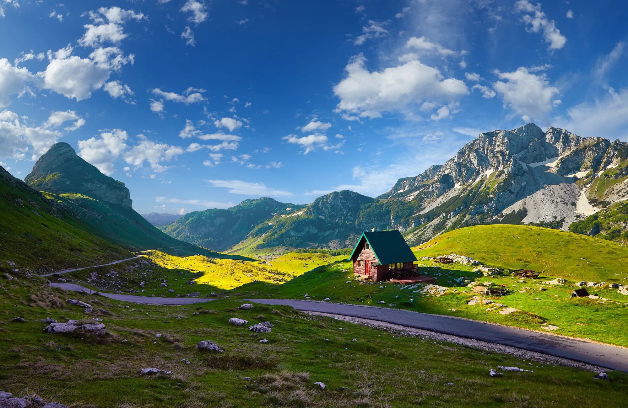
Durmitor under snow