Parco nazionale · Durmitor · 2523 m
Durmitor
Nacionalni park Durmitor
Il nostro giudizio
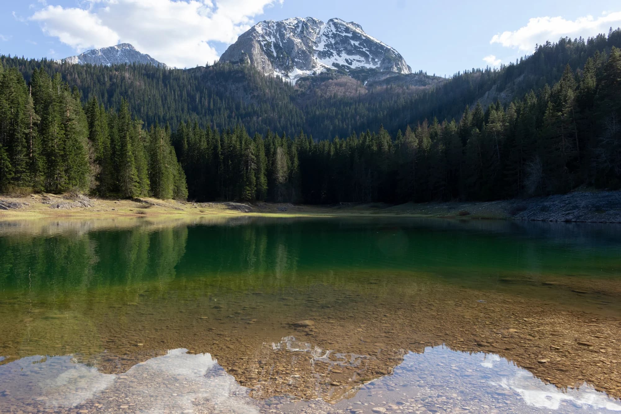
Il massiccio che ha fatto del Montenegro un paese di montagna: quarantotto cime oltre i 2.000 m attorno a un altopiano di laghi glaciali, iscritto dall'UNESCO nel 1980. Il Lago Nero è a venti minuti da Žabljak su un sentiero pianeggiante e accoglie la maggior parte dei visitatori; Bobotov Kuk, Savin Kuk e il passo di Sedlo non ne vedono quasi nessuno.
La parte onesta
Qui la distanza tra la parte facile e quella seria è brevissima. Il Lago Nero è una passeggiata; le creste che lo sovrastano sono esposte, conservano la neve fino a giugno e non hanno copertura telefonica. La strada di Sedlo chiude per l'inverno e la data dipende dalla neve, non dal calendario.
Quando andare
Da giugno a ottobre per gli itinerari in quota, e luglio e agosto sono gli unici mesi in cui le creste sono sicuramente sgombre. Da dicembre a marzo per lo sci a Savin Kuk.
- Escursione in giornata
- Giornata di cima
- Laghi
- Panorami
- Sci
- Famiglie
Dove si trovano
Quanto è lontano, e quanto si sale
Nessuna via unica: la coordinata di un parco è il centro di un confine, non un posto dove si cammina. Le vie stanno nelle pagine delle sue cime.
Quando c’è neve
Su Durmitor un manto di 30 cm di solito è sparito da mag a nov. Fuori da quella finestra, conta sulla neve al suolo.
In archivio il terreno è scesso stabilmente sotto 5 cm verso il 20 aprile ed è tornato sotto la neve verso il 28 novembre. Sono mediane di undici anni, non una promessa su questo.
| Mese | Oltre 1 cm | Manto oltre 30 cm | Spessore medio | Massima diurna |
|---|---|---|---|---|
| gen | 96% | 69% | 47 cm | -4.1 °C |
| feb | 95% | 67% | 58 cm | -1.9 °C |
| mar | 91% | 65% | 61 cm | 0.2 °C |
| apr | 68% | 32% | 33 cm | 4.6 °C |
| mag | 12% | 3% | 2 cm | 9.8 °C |
| giu | — | — | — | 15.3 °C |
| lug | — | — | — | 18.0 °C |
| ago | — | — | — | 18.0 °C |
| set | 1% | — | — | 13.1 °C |
| ott | 12% | — | 1 cm | 8.4 °C |
| nov | 38% | 1% | 3 cm | 3.3 °C |
| dic | 86% | 29% | 19 cm | -1.3 °C |
Gli inverni variano più di quanto suggerisca qualsiasi media. In 10 inverni Durmitor ha tenuto un manto di 30 cm per 75 giorni in mediana: 0 nel 2019 e 145 nel 2021. Undici inverni sono un archivio, non un clima, e qui niente è una tendenza.
| Inverno | Giorni oltre 30 cm | Massimo |
|---|---|---|
| 2015–16 | 39 | 63 cm |
| 2016–17 | 75 | 66 cm |
| 2017–18 | 131 | 140 cm |
| 2018–19 | 113 | 103 cm |
| 2019–20 | — | 25 cm |
| 2020–21 | 132 | 144 cm |
| 2021–22 | 145 | 113 cm |
| 2022–23 | 60 | 65 cm |
| 2023–24 | 3 | 32 cm |
| 2024–25 | 60 | 71 cm |
Le temperature sono corrette a 1970 m, la quota del terreno nel punto interrogato; la cima è a 2523 m. Lo spessore della neve non è corretto: è una cella di circa nove chilometri, quindi va letto come il massiccio e non come la cima.
Quella cella è condivisa con Bobotov Kuk, quindi gli spessori di neve su quelle pagine sono questi stessi numeri. Le temperature non sono condivise: quelle sono corrette per ogni cima.
Rianalisi ERA5-Land (Copernicus), servita da Open-Meteo.
Durmitor, in numeri
La montagna
| Cima | 2523 mBobotov Kuk, the massif’s summit, OSM node 26863579 (ele 2523) |
|---|---|
| Massiccio | Durmitor |
| Tipo | Parco nazionale |
| Quota di riferimento | 1970 mLa quota a cui è corretto l’archivio delle temperature. La cima è a 2523 m. |
Come salirci
| Punto di partenza | Žabljak, e la strada del passo di Sedlo per gli itinerari in quota |
|---|---|
| Difficoltà | Un’escursione |
| Strada | Asfaltata fino a Žabljak e oltre Sedlo; la strada del passo chiude in inverno |
| Parcheggio | A pagamento |
| Autobus | Žabljak è collegata in autobus da Podgorica e Nikšić |
| Percorso segnato | Sì |
Là in alto
| Rifugio | Sušica planinarski dom, sul versante orientale del massiccio |
|---|---|
| Acqua | Sorgenti mappate entro 4 km |
| Cibo | Ristorante |
| Servizi | Sì |
| Ricovero | Non verificato |
| Copertura mobile | Non verificato |
Il parco
| Superficie | 323 km²Misurata dalla relazione OpenStreetMap del parco stesso, la 10241242. Le guide citano spesso 390 km², cifra che comprende la fascia di rispetto del canyon del Tara al di fuori del confine del parco. |
|---|---|
| UNESCO | Patrimonio mondiale, iscrizione 100 |
| Ingresso | Non verificato |
Regole da conoscere
- Droni e riprese commerciali richiedono un'autorizzazione scritta dell'ente parco
- Il campeggio fuori dalle aree segnalate non è consentito
Pericoli
- Creste esposte sopra l'altopiano
- Neve tardiva nei canaloni fino a giugno
- Temporali pomeridiani improvvisi in estate
Dati verificati sulle loro fonti per l’ultima volta il 30 settembre 2026.
Da dove vengono questi dati
- OpenStreetMap natural=spring and amenity=drinking_water nodes within 4 km for the water field
- OpenStreetMap relation 10241242 for the boundary, area and the UNESCO reference (ref:whc 100)
- Our Durmitor guide for the plateau, Black Lake and Žabljak
- Open-Meteo ERA5-Land archive 2015–2025 for the snow and temperature record
- JP Nacionalni parkovi Crne Gore for the park rules
Fotografie
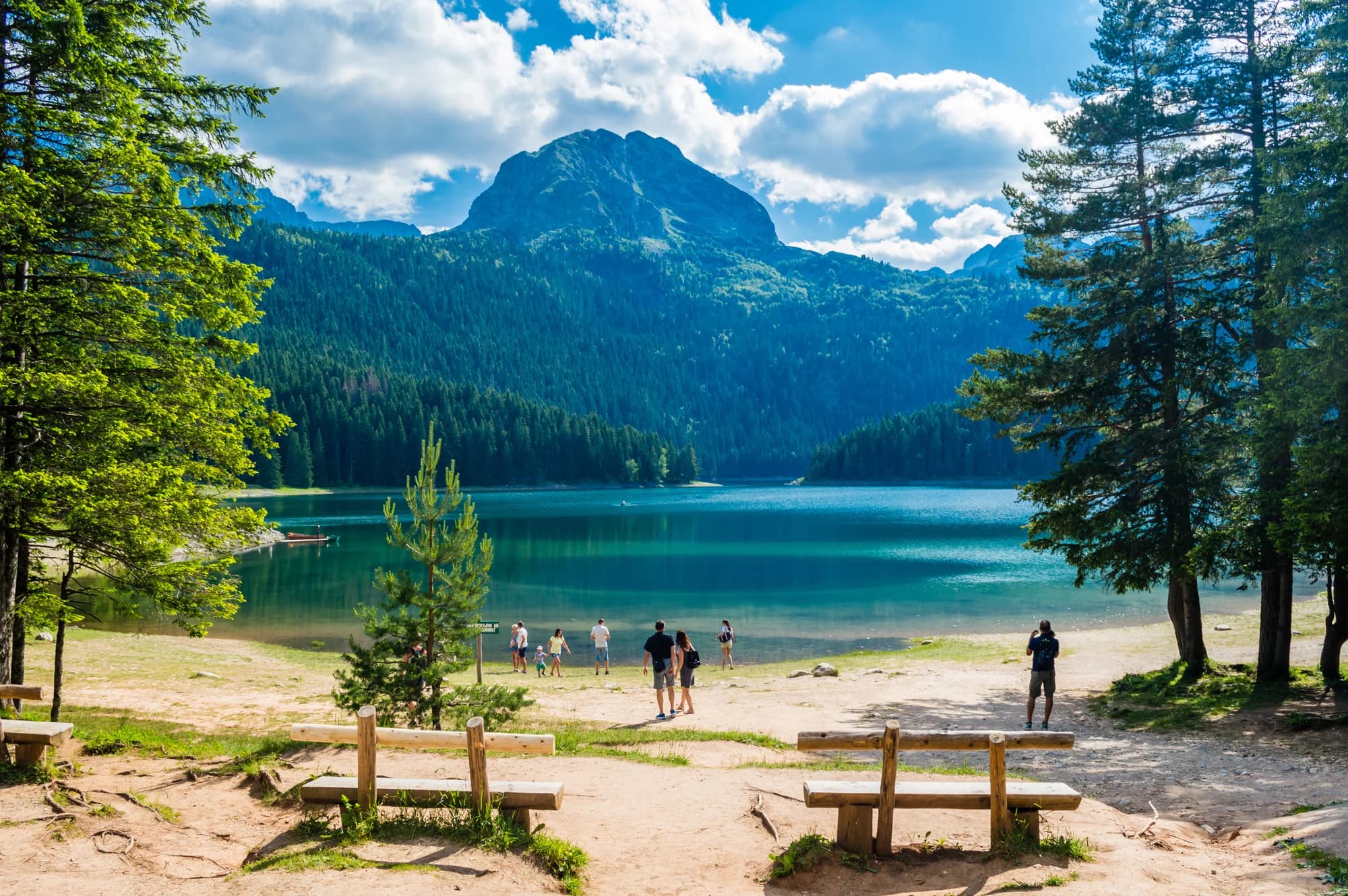
Acqua di lago glaciale e pini sull'altopiano del Durmitor 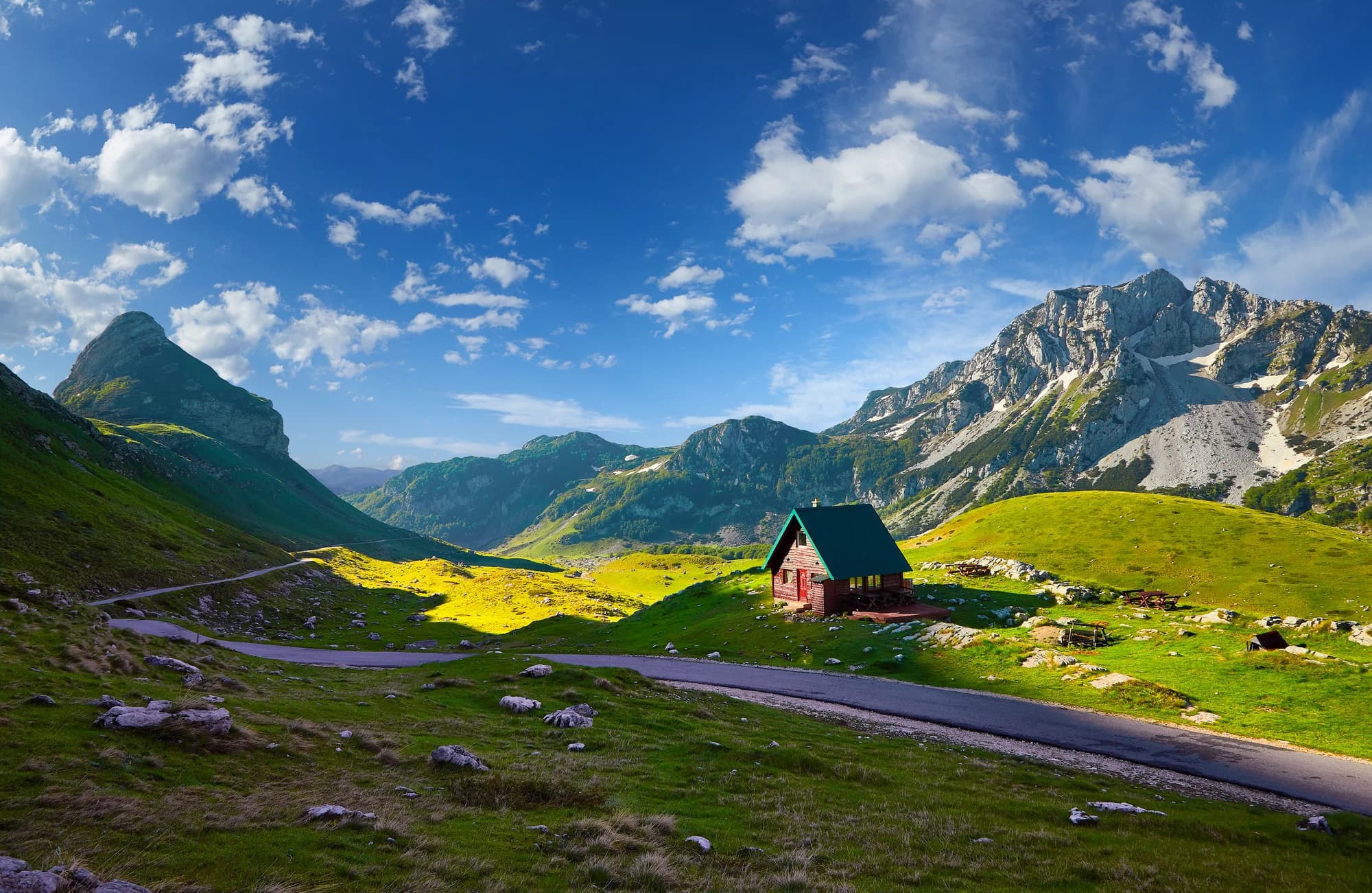
Il Durmitor sotto la neve