0 accommodations available
Bioče is a village in the Podgorica municipality, strung along the road and railway a little north of the capital at the point where the Morača valley narrows into a proper canyon. Downstream the river runs through the open Zeta plain; here the limestone walls close in and rise steeply on both sides, and the water below turns the deep green that the Morača keeps for most of the year. The village occupies the last of the flat ground before that transition, which has given it the same role for as long as the route has existed. That role is passage. The main road north from Podgorica to Kolašin, Mojkovac and the Serbian border runs through Bioče, as does the Belgrade–Bar railway. Just above the village the line crosses the Mala Rijeka viaduct, for decades the highest railway bridge in the world and still an extraordinary piece of engineering to see from the road below. For drivers, Bioče is the natural place to stop before committing to the canyon, and a string of roadside cafes and grill restaurants has grown up to serve exactly that habit. The surroundings reward anyone willing to slow down. Side roads climb out of the canyon toward the villages of Kuči, a wild and thinly populated highland region of stone hamlets and grazing land. The Morača itself is fished, and the canyon walls above the village are a familiar sight to climbers. Further north the same road reaches the Morača monastery and the mountains around Kolašin. Bioče suits travellers moving between the coast, the capital and the northern mountains who want a genuine stop rather than a petrol station, and anyone interested in the geography of the canyon. Any season works for a stop; spring, when snowmelt raises the river, is the most impressive time in the gorge.
Search thousands of hotels and apartments with live prices.
We may earn a commission from partner links. This helps us keep Montenegro.com free for travelers.
Search hotels, apartments and guest houses with live availability.
We may earn a commission from partner links. This helps us keep Montenegro.com free for travelers.

Bioce is a village in the Podgorica municipality, strung along the road and railway a little north of the capital, at the point where the Moraca valley narrows into a proper canyon.
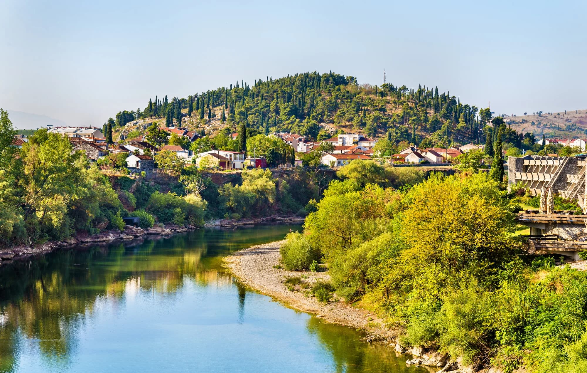
Downstream the river runs through the open Zeta plain; here the limestone walls close in and rise steeply on both sides, and the water below turns the deep green the Moraca keeps for most of the year. The village occupies the last of the flat ground before that transition.
The railway bridge just above the village, carrying the Belgrade–Bar line across the gorge. For decades it was the highest railway bridge in the world, and it is still an extraordinary piece of engineering to see from the road below.
Because it is the natural place to pause before committing to the canyon. The main road north from Podgorica to Kolasin, Mojkovac and the Serbian border runs through Bioce, and a string of roadside cafes and grill restaurants has grown up to serve exactly that habit.
Side roads climb out of the canyon toward the villages of Kuci, a wild and thinly populated highland region of stone hamlets and grazing land. The Moraca is fished, the canyon walls above the village are familiar to climbers, and further north the same road reaches the Moraca monastery.
Any season works for a stop. Spring, when snowmelt raises the river, is the most impressive time in the gorge.
12 km by road, about 19 min by car.
The UK Foreign, Commonwealth & Development Office (FCDO) has no advisory against travel to Montenegro; it last reviewed its guidance on 13 August 2026. That is their assessment of the country as a whole, not ours and not a judgement about Bioče, so read it yourself before you travel. The emergency number in Montenegro is 112.
The nearest places to Bioče, at their true positions — Mateševo is about 33 km away in a straight line.
Schematic. Positions and straight-line distances from the coordinates we hold for each place; mountain roads make the drive longer. Coastline and Lake Skadar © OpenStreetMap contributors.
Best time: April · May · October
| Place | By road | Driving |
|---|---|---|
| Pelev Brijeg | 12 km | about 19 min |
| Podgorica | 13.9 km | about 21 min |
| Spuž | 21.7 km | about 39 min |
| Tuzi | 22.5 km | about 32 min |
| Budva | 72.9 km | about 1 h 37 min |
| Kotor | 84.8 km | about 1 h 48 min |
| Žabljak | 108.1 km | about 2 h 10 min |
Road distances routed over OpenStreetMap data, © OpenStreetMap contributors. Driving times are free-flow and take no account of summer traffic or a queue at the ferry ramp.