_mncom.webp&w=2048&q=75)
A fortress hill the Ottomans held for four centuries, halfway between Podgorica and Danilovgrad — and, since 1951, the address of Montenegro’s prison.
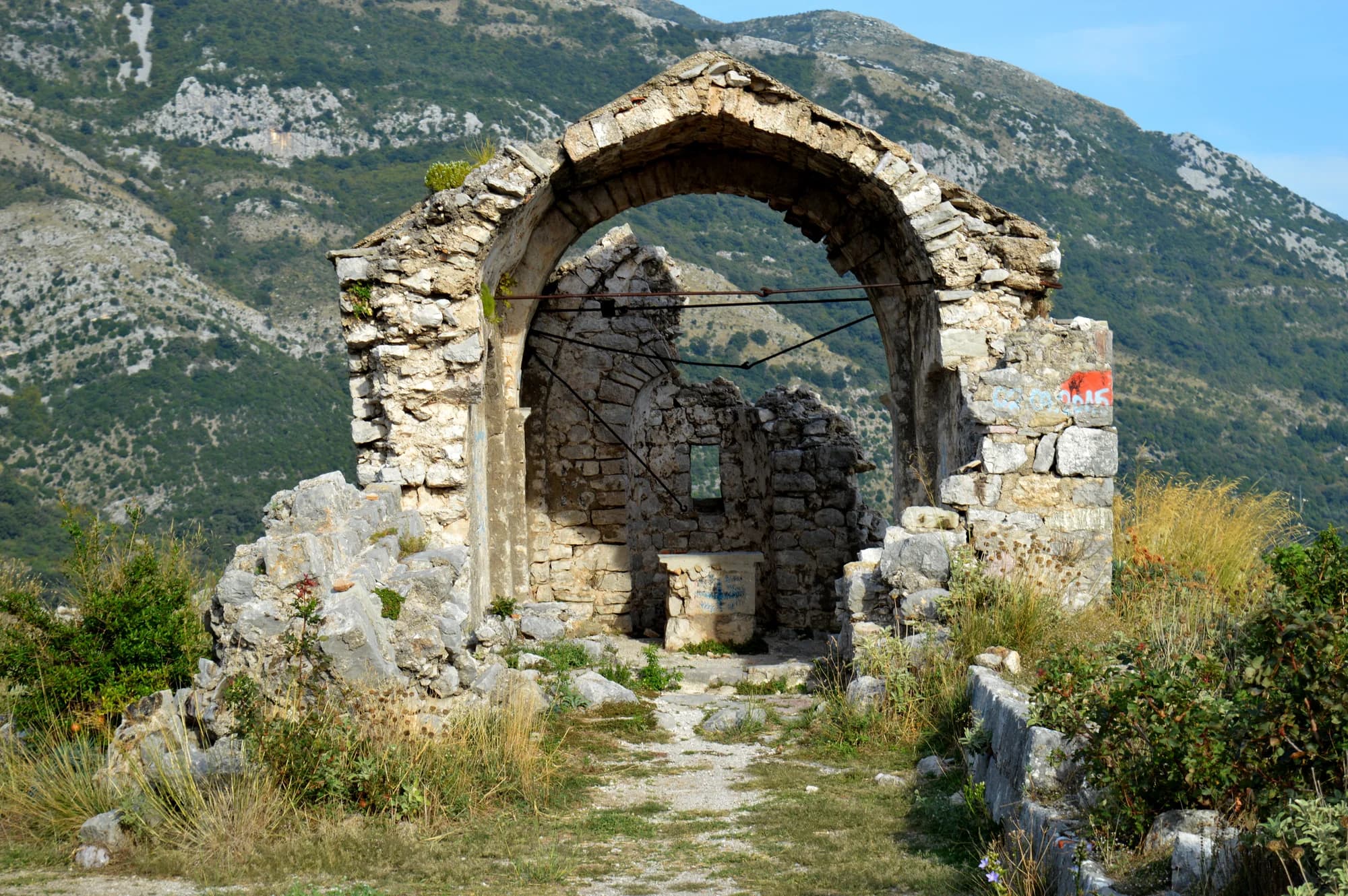
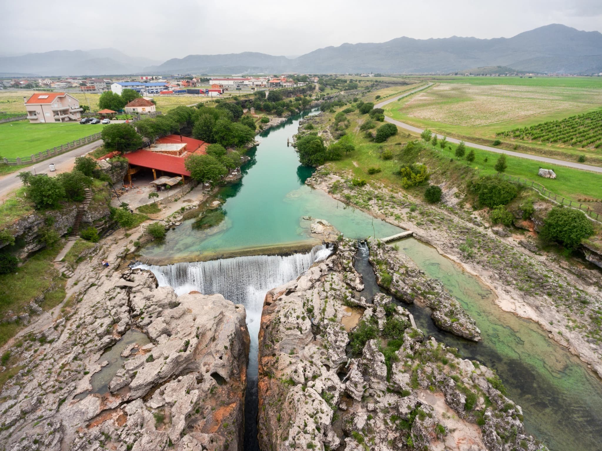
Spuž is a small town in the Zeta valley between Podgorica and Nikšić, part of the Danilovgrad municipality, laid out below a rocky hill that carries the ruins of its fortress. The setting is the Bjelopavlići plain, flat and fertile and hemmed in by bare limestone ridges. The climate here is continental rather than coastal, hot and still in high summer, with mountains visible in every direction from the valley floor. The fortress is the reason the town exists. Its walls, largely Ottoman in their present form, command the crossing of the Zeta and the route through central Montenegro, and the position was fought over repeatedly until the town passed to Montenegro in the late nineteenth century. What survives is a ruin rather than a restored monument: broken curtain walls, a gateway, and a view over the plain that explains the whole strategy at a glance. The valley around it is farming country and an increasingly serious wine region. Warm days, riverside soil and mild winters suit vines, and the Bjelopavlići plain has long grown grapes alongside its orchards and vegetable plots, with roadside stalls selling peaches, watermelons and figs by the crate in late summer. The Zeta itself runs green and cold enough to swim in on a hot afternoon, and the road north reaches Ostrog Monastery, the most visited pilgrimage site in the country, set into a cliff face above the same valley. Spuž suits travellers taking the inland route instead of the coastal one: a place to stop, climb to the fortress, eat well and carry on. There is little tourist infrastructure and no pretence of any, because this is a working town in a working valley. Late spring and early autumn are the most comfortable times to come, since the Bjelopavlići plain is among the hottest places in Montenegro in July and August.
Where the plain grew
Settlement population change, 2003 → 2023 census
The villages of the Bjelopavlići plain doubled and trebled in twenty years. Spuž added a fifth, because it was already the biggest of them.
The municipality by settlement
Residents by settlement, 2023 census
MONSTAT counts settlements, not built-up areas: Spuž is the largest single settlement in the municipality, while the seat’s 1,632 leaves out Glavica, Pažići and Grlić, which stand against the town and add 3,032 more.
Who visits Montenegro
Share of foreign overnight stays, 2025
MONSTAT · 2025
Census population, Spuž municipality
Spuž counted 497 people in 1948 and 1,864 in 2023, and it did all that growing without becoming a town. Podgorica is eleven kilometres down the road, Danilovgrad ten kilometres up it, and the plain between them filled.
The hill is the point — about 130 metres of it over a valley floor at 45, with the Zeta running 250 metres away. The Ottomans held it from 1474 to 1878, as long as they held Podgorica eleven kilometres down the road. Widths are to scale.
The 1378 charter and the early-18th-century rebuild: Serbian Wikipedia. The Ottoman kaza of 1474–1878, the 1788 siege and the Berlin award: English Wikipedia. 1951 and the three prison units: ZIKS.
A day on the corridor
How the Podgorica road runs, hour by hour
Meanwhile, in 1878
Spuž, 1878: Montenegro is handed Nikšić, Kolašin, Spuž, Podgorica, Žabljak and Bar, and grows from 4,405 to 9,475 square kilometres. Four hundred and four years of Ottoman rule on this hill end.
Sixteen years earlier — the Peace of Rijeka Crnojevića, signed 8 September 1862, had given the Ottomans the right to raise forts along the Nikšić–Spuž road. The European powers made the Porte pull the new ones down again the following year.
Berlin, 13 July 1878: the same treaty recognises the independence of Montenegro, Serbia and Romania. Spuž is one line in a document that redraws the Balkan map.
Today — the castle on the hill is a ruin, and the hill’s business has moved two kilometres south into the plain: three of the four units of Montenegro’s prison service stand at Spuž.
“The Ottomans gained the right to raise fortresses along the Nikšić–Spuž road.”
Terms of the Peace of Rijeka Crnojevića, 8 September 1862
The Serbian-language record of the treaty lists the clause among its terms, and records that in 1863, under pressure from the European powers, the Porte agreed to demolish the new forts. Spuž stood at that road’s far end.
Search thousands of hotels and apartments with live prices.
We may earn a commission from partner links. This helps us keep Montenegro.com free for travelers.
Search hotels, apartments and guest houses with live availability.
We may earn a commission from partner links. This helps us keep Montenegro.com free for travelers.
Spuz sits on the Zeta river about 15 km north-west of Podgorica, on the old road towards Danilovgrad and Niksic. It occupies a low hill above the plain, which is why it was fortified in the first place.
An Ottoman fort built on the hill above the river, one of a line of strongholds guarding the approaches to the Zeta valley. Montenegro took it in 1878 after decades of fighting along this frontier; parts of the walls survive above the village.
For the prison. The country's main correctional institution is here, and Spuz is used as shorthand for it in speech and in the press, much as other countries use the name of a single town for the same reason.
Flat, irrigated and productive — this is the Bjelopavlici plain, the market garden of Montenegro. Peaches, grapes and vegetables come off it, and roadside stalls sell them through the summer.
Not much on its own. The fortress hill gives a good view over the plain, and the Zeta is used for swimming in summer, but Spuz is a stop rather than a destination on the way between Podgorica and Ostrog.
By car in twenty minutes from Podgorica, or on the Podgorica–Niksic buses that use the old road. Trains on the Belgrade–Bar line pass nearby, and there is a station serving the village.
No — the nearest is Podgorica Airport (TGD), 23 km away by road.
11 km by road, about 26 min by car.
The UK Foreign, Commonwealth & Development Office (FCDO) has no advisory against travel to Montenegro; it last reviewed its guidance on 13 August 2026. That is their assessment of the country as a whole, not ours and not a judgement about Spuž, so read it yourself before you travel. The emergency number in Montenegro is 112.
The nearest places to Spuž, at their true positions — Bogetići is about 25 km away in a straight line.
Schematic. Positions and straight-line distances from the coordinates we hold for each place; mountain roads make the drive longer. Coastline and Lake Skadar © OpenStreetMap contributors.
Spuž in numbers
the medieval town of Spuž appears in a charter of that year
the hill fortification rebuilt and extended under Hodaverdi-paša Mahmutbegović
2023 census — the municipality’s largest single settlement
passes 250 m from the fort on its way from Mt Vojnik to the Morača
the valley floor; the castle hill above the town reaches about 130 m
MONSTAT, Popis 2023 (settlement level) · chronology from the Serbian and English Wikipedia
A few hours
One hill and half an hour. The ruin at the top is the visit; the valley road does the rest.
One full day
A frontier fort, a planned capital and a monastery in a cliff face, inside forty kilometres of valley road.
Danilovgrad
Best for the municipal seat, ten kilometres north and a station on the same railway line
Podgorica
Best for eleven kilometres south: the capital, with Spuž a short detour off the Nikšić road
Best time: April · May · October
| Place | By road | Driving |
|---|---|---|
| Klicevo | 11 km | about 26 min |
| Danilovgrad | 11.7 km | about 20 min |
| Podgorica | 15.2 km | about 24 min |
| Gradac | 17.4 km | about 42 min |
| Budva | 70.6 km | about 1 h 33 min |
| Kotor | 82.6 km | about 1 h 45 min |
| Žabljak | 115.2 km | about 2 h 31 min |
Road distances routed over OpenStreetMap data, © OpenStreetMap contributors. Driving times are free-flow and take no account of summer traffic or a queue at the ferry ramp.