Montenegro’s mountains for a day hike
8 of the sixteen subjects in the atlas. Ordered as the atlas orders them — the ranked tier first, then tallest.
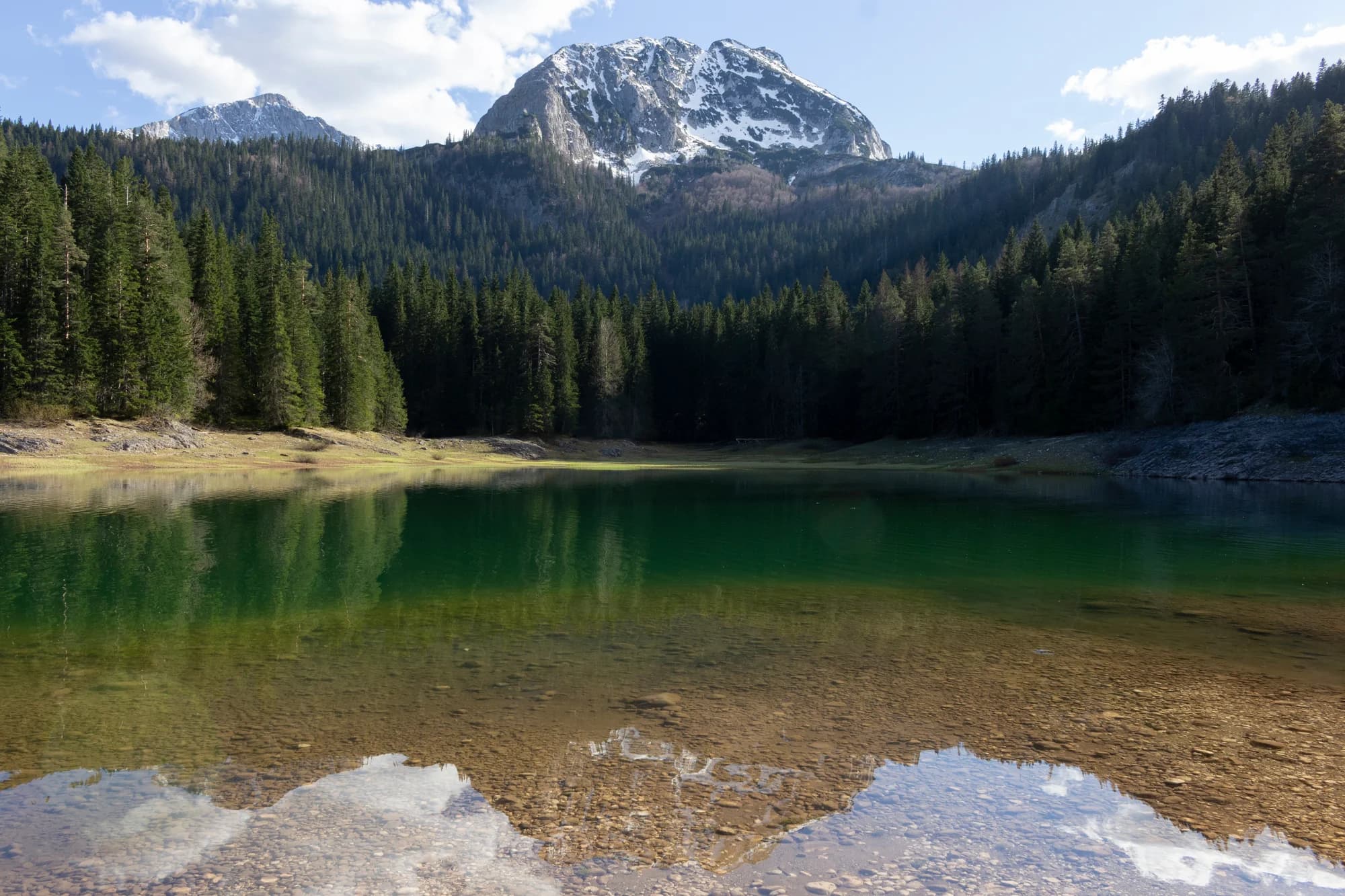
No. 1 · National park · 2,523 m
Durmitor
Snow on 69% of January days
The massif that made Montenegro a mountain country: forty-eight summits over 2,000 m around a plateau of glacial lakes, inscribed by UNESCO in 1980.
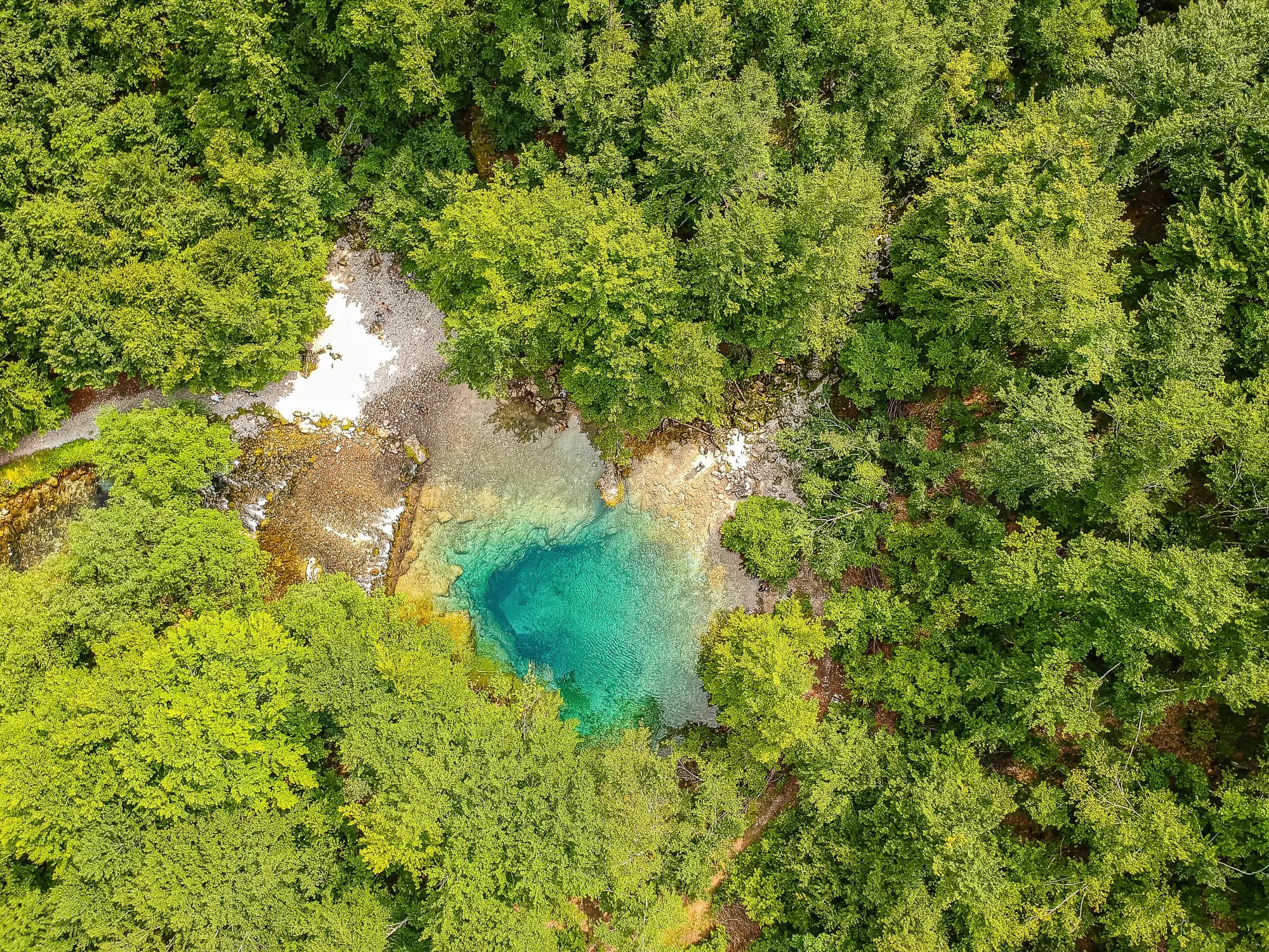
No. 2 · National park · 2,535 m
Prokletije
Snow on 71% of January days
The most alpine ground in the country and the least visited: limestone walls above the Grebaje and Ropojana valleys, and Montenegro’s highest summit, Zla Kolata at 2,535 m, on the Albanian border.
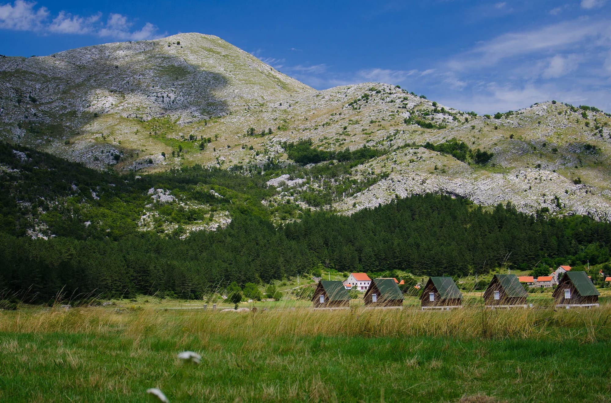 Nearby, not the summit
No. 3 · National park · 1,749 m
Lovćen
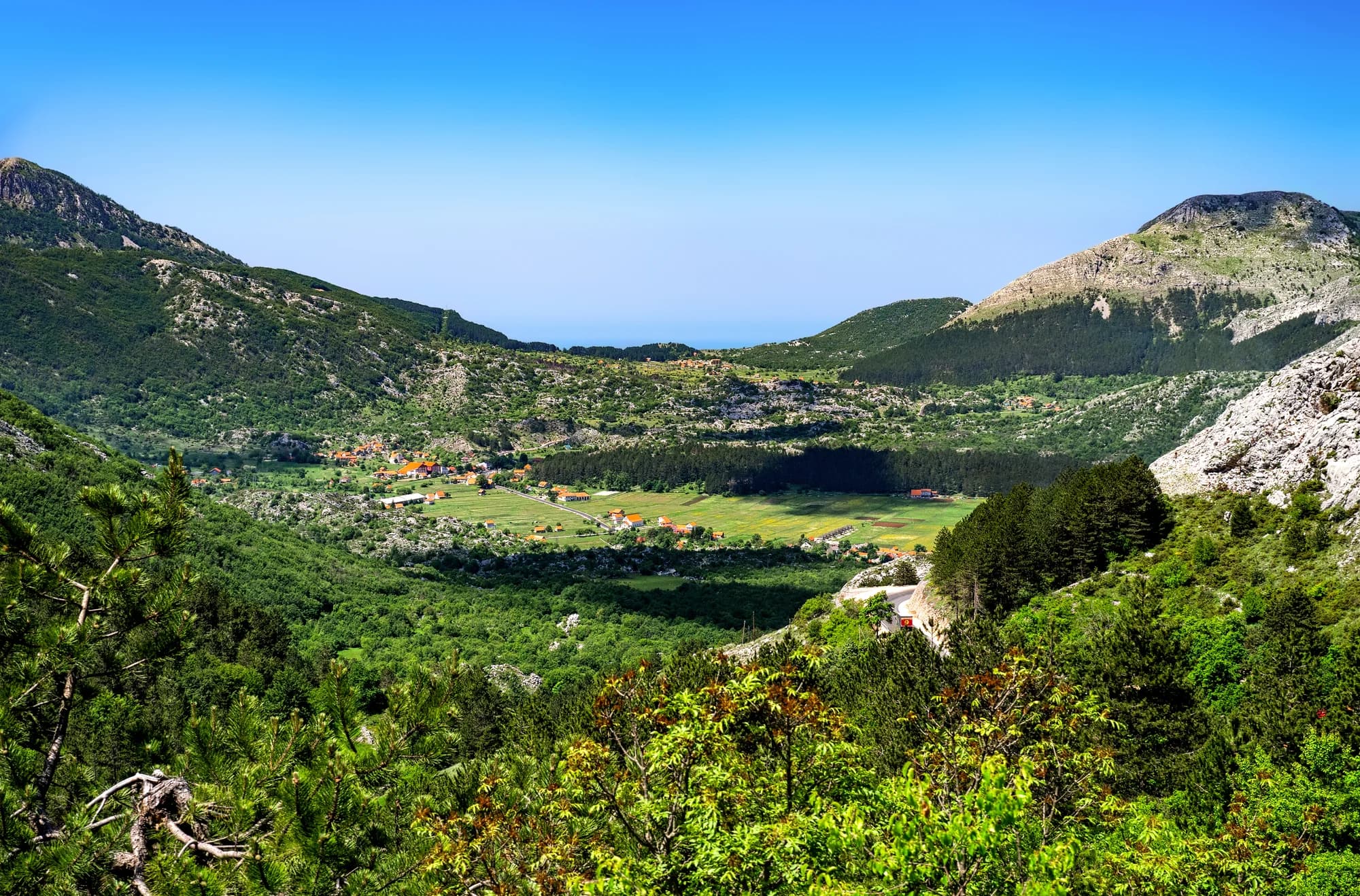
The black mountain the country is named after, and the one every visitor sees from the Kotor serpentines.
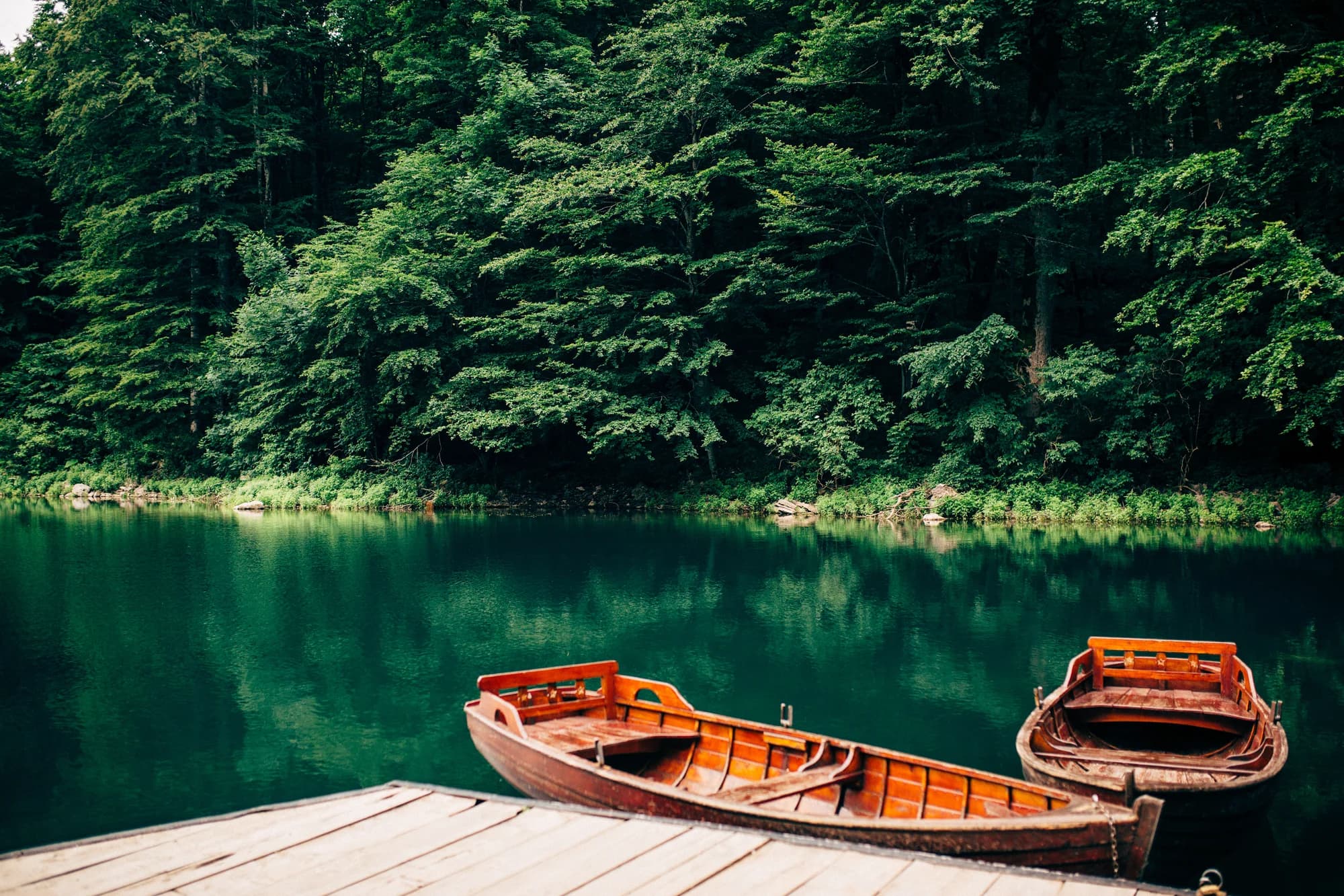
No. 4 · National park · 2,139 m
Biogradska Gora
Snow on 57% of January days
One of the last primeval forests in Europe, and the reason the park exists: trees that have never been cut, some of them five hundred years old, around a glacial lake you can walk round in an hour on the flat.
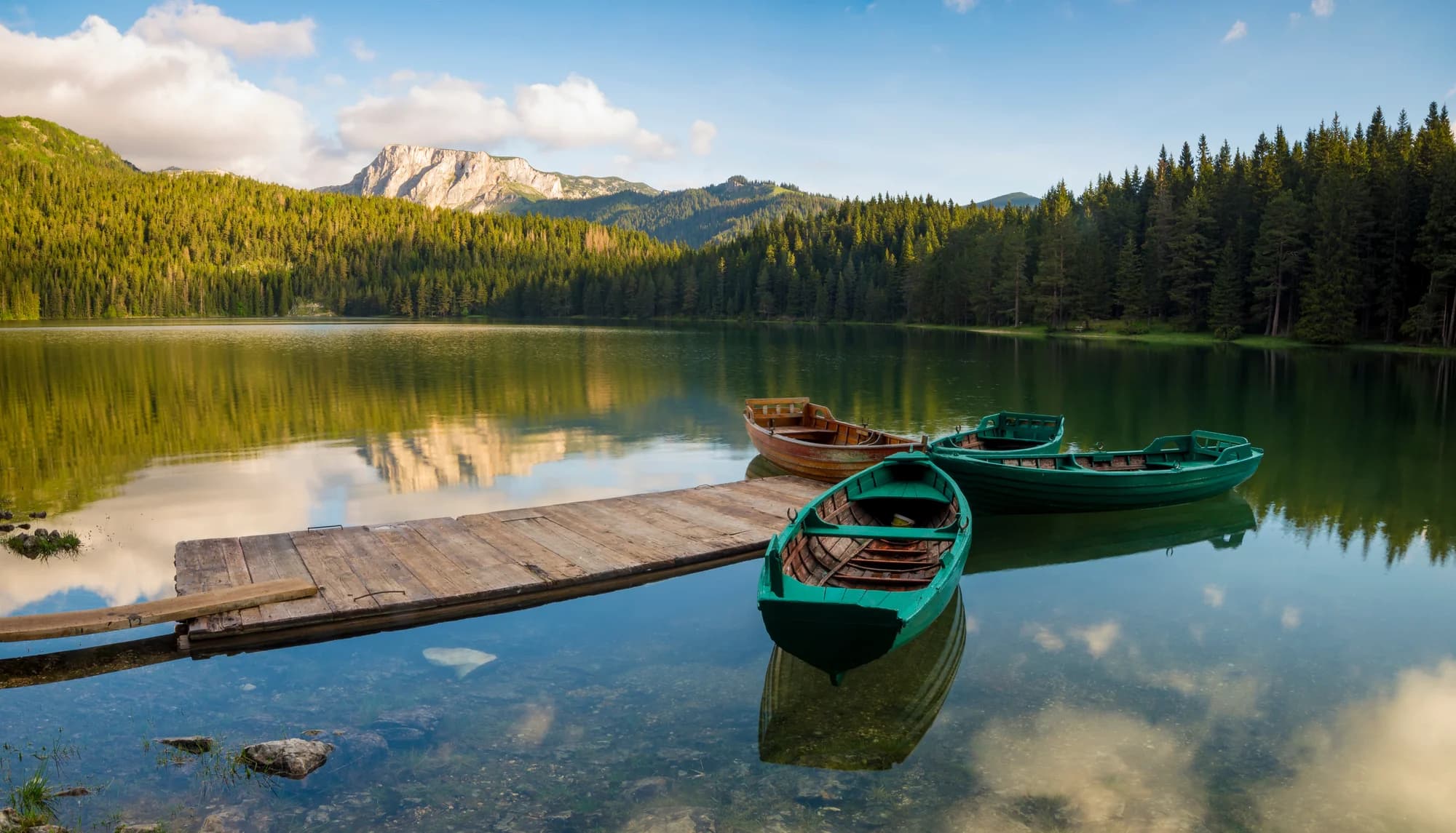
No. 6 · Summit · 2,523 m
Bobotov Kuk
Snow on 69% of January days
Durmitor’s best-known summit and the one most people mean when they say they climbed a mountain in Montenegro.
Summit · 1,894 m
Zubački Kabao
The highest point of Orjen, the massif directly behind Herceg Novi, and one of the strangest places in the country: a bare limestone desert of sinkholes and karst at 1,900 m, an hour above a subtropical coast..
 Nearby, not the summit
Summit · 1,748 m
Štirovnik
The true summit of Lovćen, a hundred metres above the mausoleum that everyone drives to and almost nobody walks.
Summit · 1,594 m
Rumija
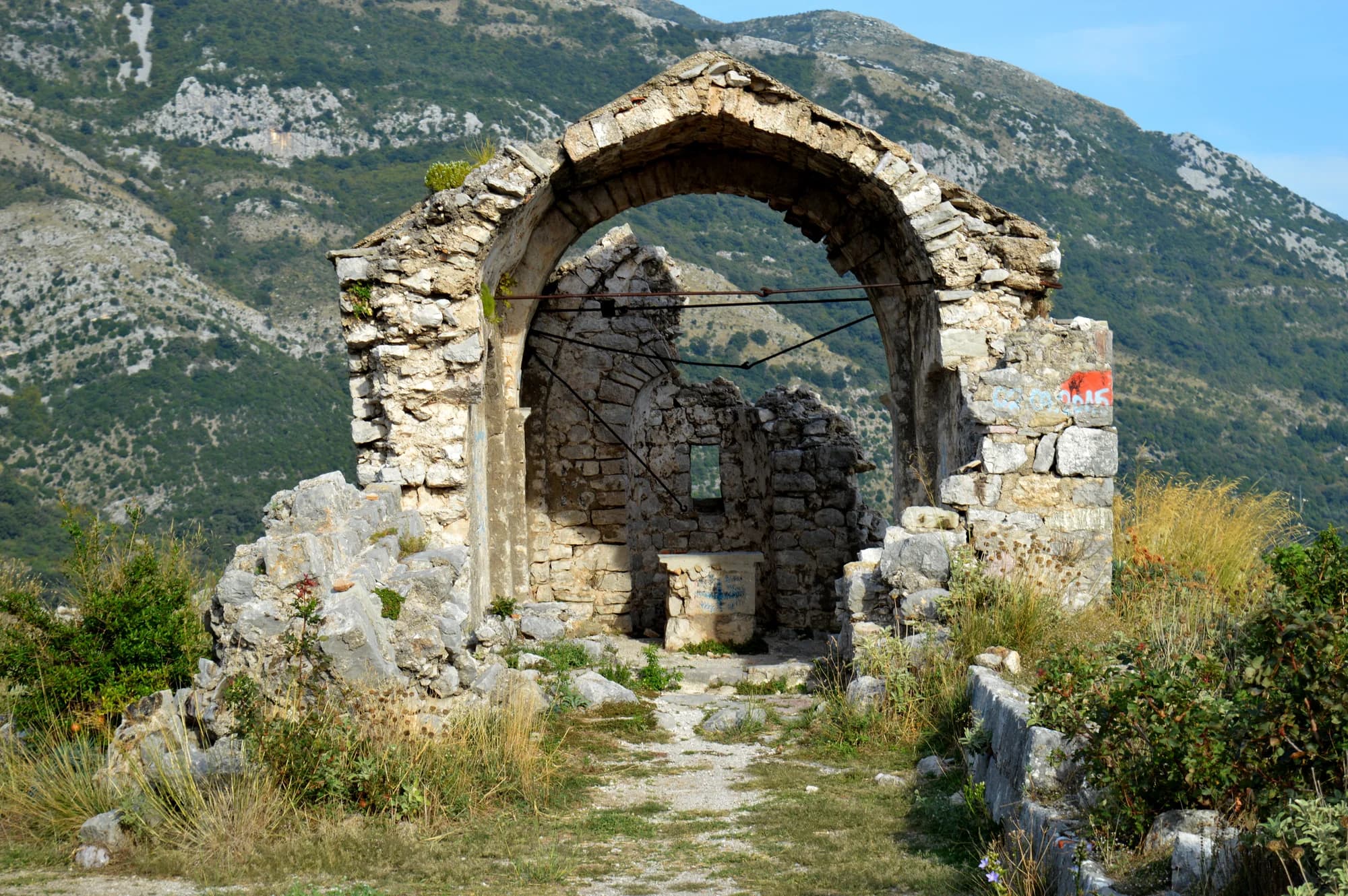
The ridge that separates Lake Skadar from the Adriatic, which means the summit has the sea on one side and the lake on the other — the single best view in the south of the country.