Para Familias
7 de los dieciséis lugares del atlas. En el orden del atlas: primero los destacados, luego por altitud.
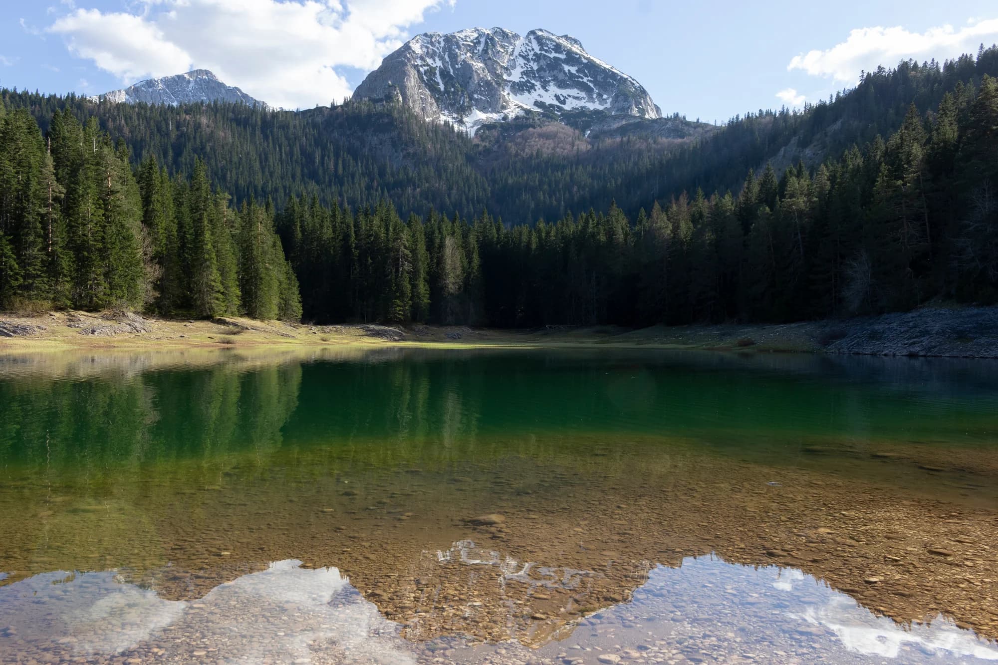
N.º 1 · Parque nacional · 2523 m
Durmitor
Nieve el 69 % de los días de enero
The massif that made Montenegro a mountain country: forty-eight summits over 2,000 m around a plateau of glacial lakes, inscribed by UNESCO in 1980.
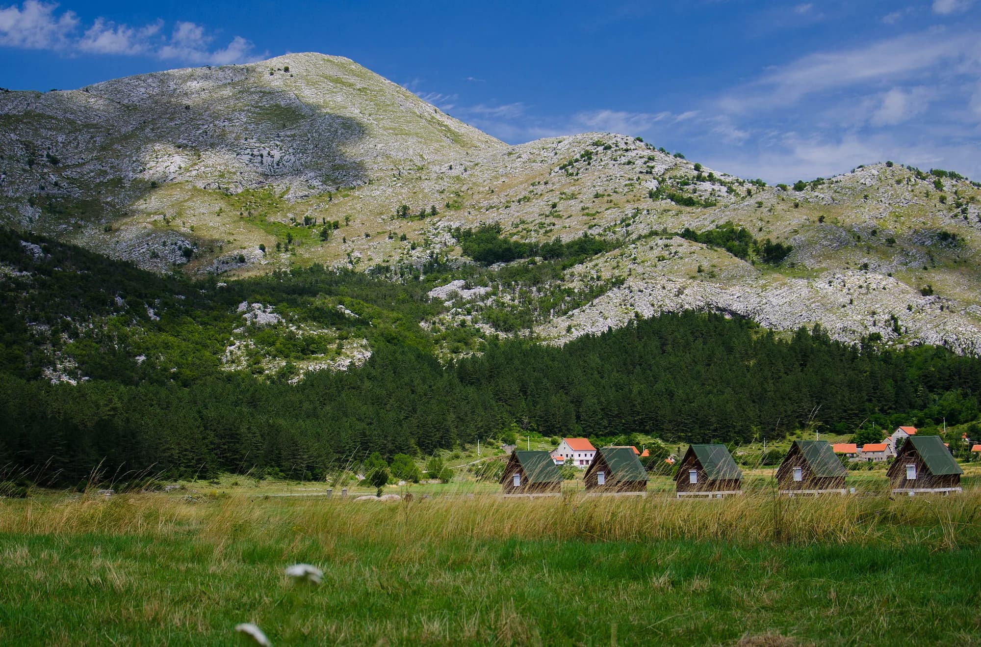 Cerca, no la cumbre
N.º 3 · Parque nacional · 1749 m
Lovćen
The black mountain the country is named after, and the one every visitor sees from the Kotor serpentines.
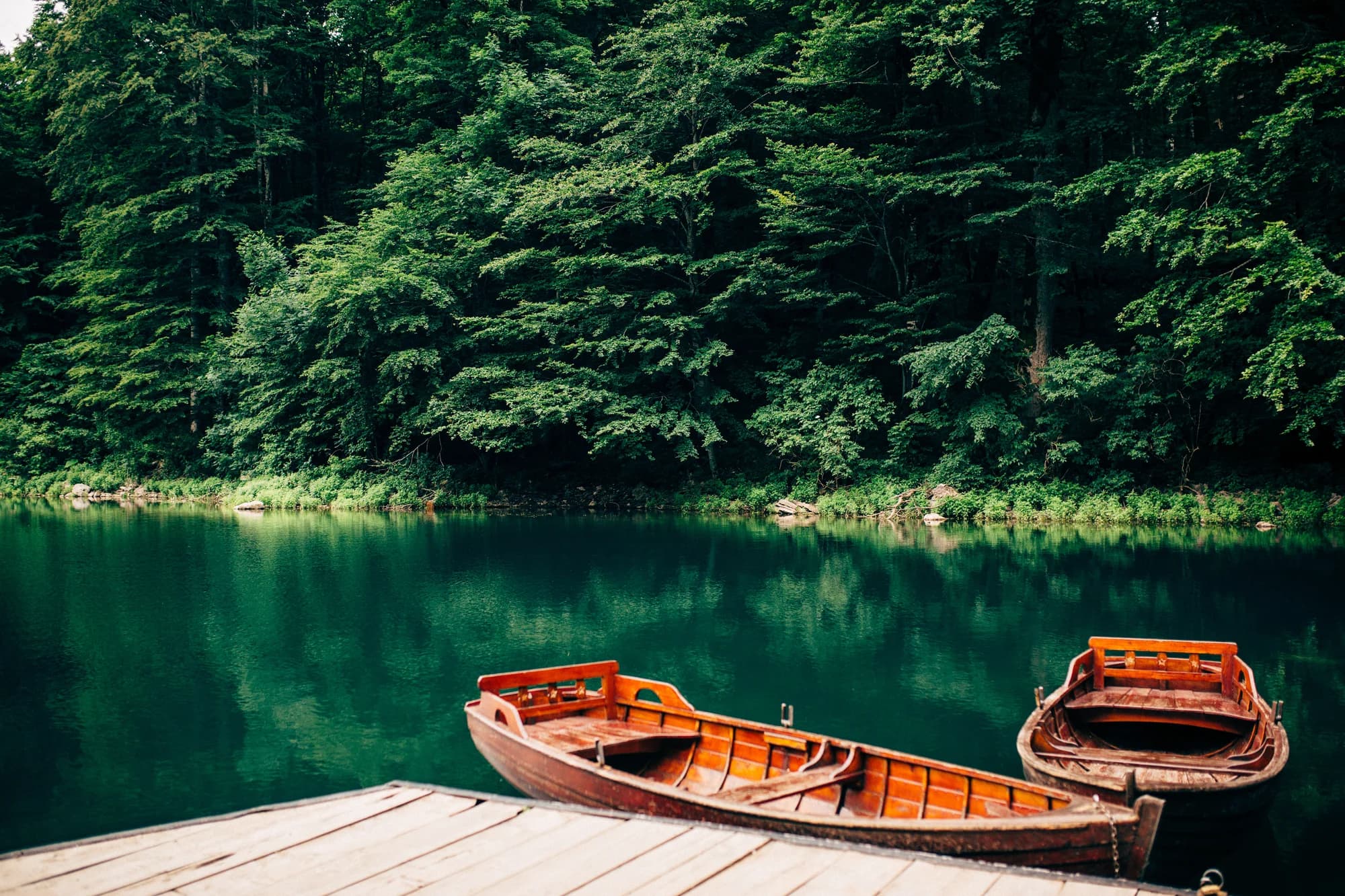
N.º 4 · Parque nacional · 2139 m
Biogradska Gora
Nieve el 57 % de los días de enero
One of the last primeval forests in Europe, and the reason the park exists: trees that have never been cut, some of them five hundred years old, around a glacial lake you can walk round in an hour on the flat.
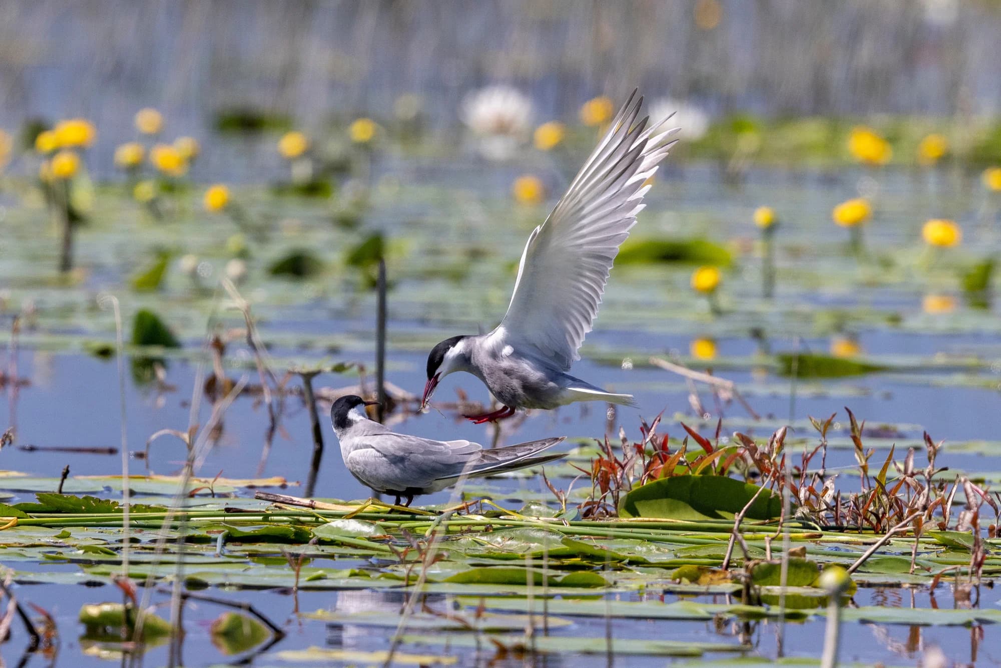
N.º 5 · Parque nacional · 1594 m
Lake Skadar
The largest lake in the Balkans and the only one of the five parks that is mostly water.
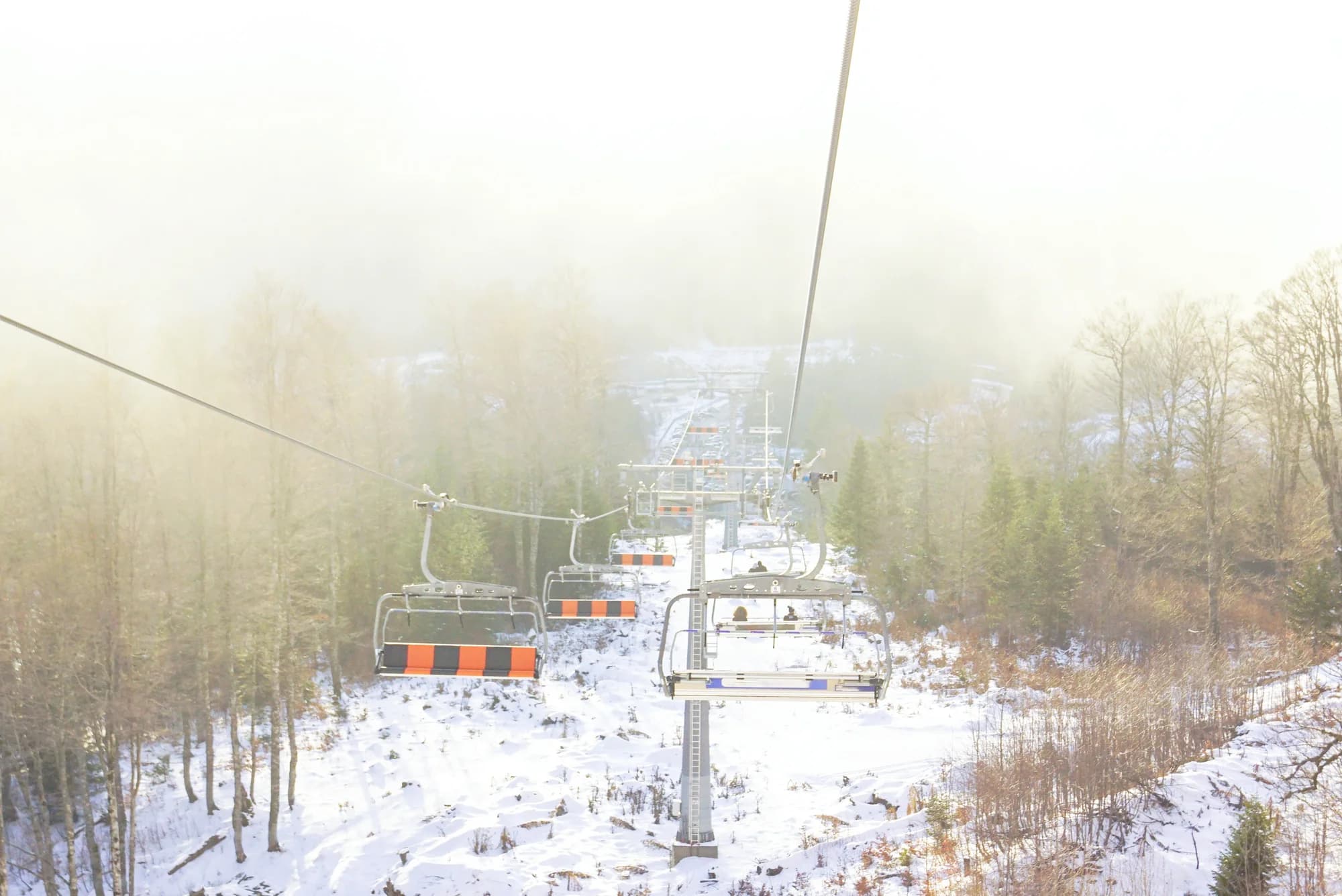
Estación de esquí · 2035 m
Kolašin 1600
Nieve el 62 % de los días de enero
Montenegro’s main ski area, on the Bjelasica slopes above Kolašin, with a gondola up from the valley and the country’s most reliable lift-served snow.
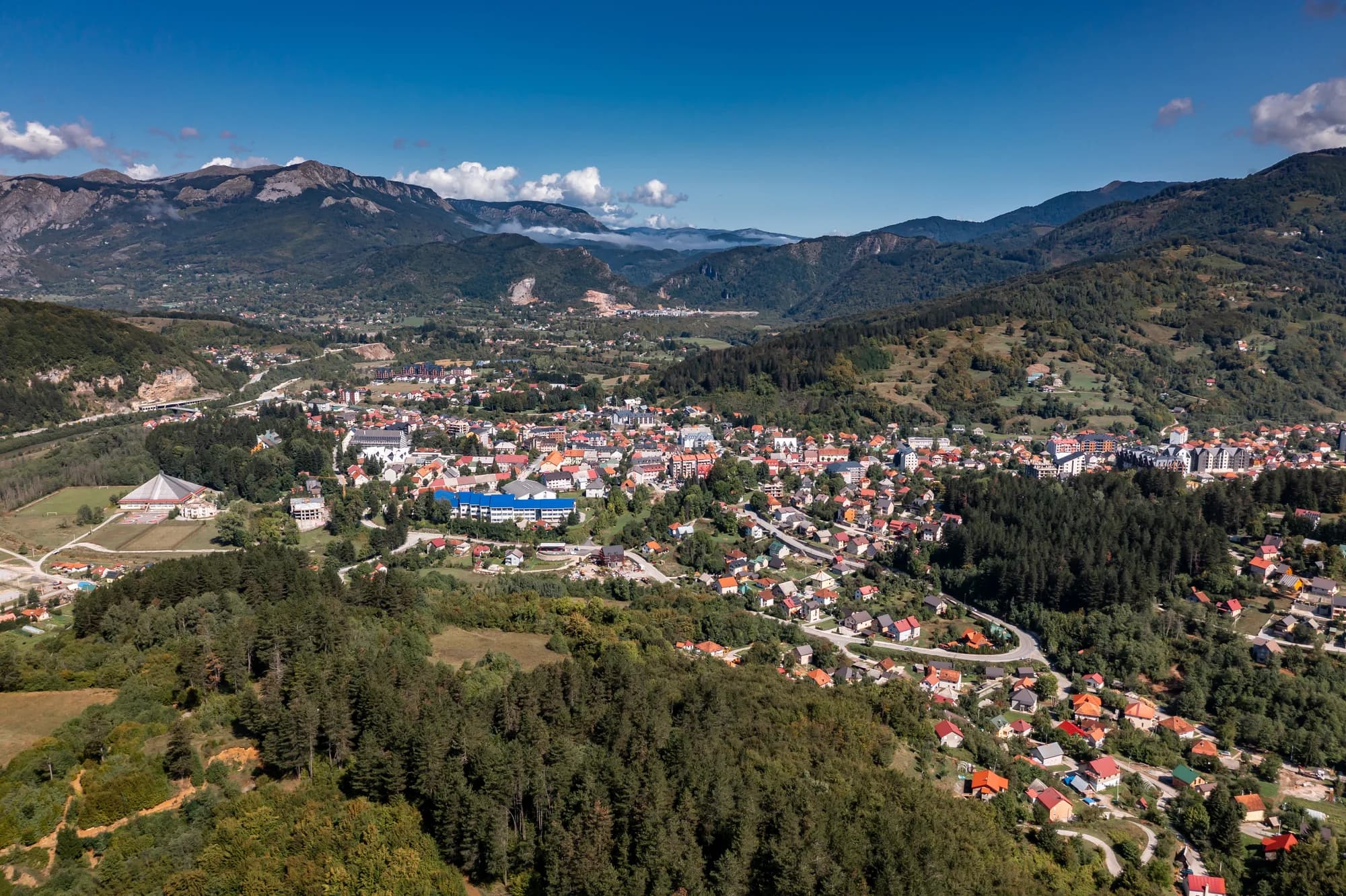
Estación de esquí · 1750 m
Kolašin 1450
Nieve el 62 % de los días de enero
The older and smaller of the two Kolašin areas, on the same Bjelasica flank, with gentler terrain and a shorter lift system.
- Cerca, no la cumbre
Cumbre · 1657 m
Jezerski Vrh
The second summit of Lovćen and the one that carries Nje-goš’s mausoleum, reached from the car park by a tunnel and a long flight of steps cut into the mountain.