Cumbre · Durmitor · 2523 m
Bobotov Kuk
Nuestro veredicto
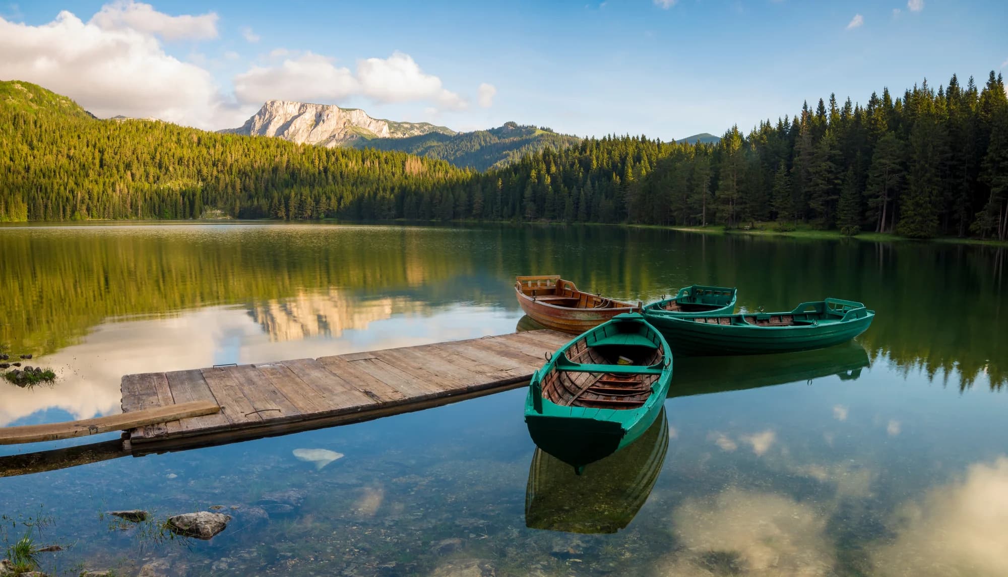
La cumbre más conocida de Durmitor y la que la mayoría tiene en mente cuando dice que ha subido una montaña en Montenegro. El último tramo es una trepada por caliza con cadenas en algunos puntos, y la vista desde la cima abarca toda la meseta y el cañón del Tara detrás.
La parte honesta
Muy a menudo se la llama el punto más alto de Montenegro. No lo es: Zla Kolata, en Prokletije, es doce metros más alta, y otras dos cumbres de esa cresta lo son aún más. Bobotov Kuk es el punto más alto del macizo de Durmitor, que es otra afirmación distinta y la que vale la pena hacer.
Cuándo ir
De finales de junio a principios de octubre. Los registros a esta altitud muestran una base de 30 cm en aproximadamente un tercio de los días de abril y suele haber desaparecido a mediados de mayo, pero las canales conservan la nieve mucho más tiempo.
- Día de cumbre
- Vistas
- Ruta de un día
Dónde están
Cuánto hay, y cuánto se sube
Desde el aparcamiento más cercano, Bobotov Kuk son 3.74 km de camino y 952 m de subida, empezando a 1749 m.
- Distancia
- 3.74 km
- Desnivel
- 952 m
- Desde
- 1749 m
- Hasta
- 2463 m
Medido sobre la propia red de senderos de OpenStreetMap desde el nodo más cercano al que se puede llegar en coche, con altitudes del DEM Copernicus muestreadas en cien puntos. El desnivel es la subida total incluidos los descensos intermedios, no la diferencia entre los extremos. Un modelo de 90 m suaviza los escalones cortos y empinados, así que tómelo como un mínimo.
Sin tiempo de marcha, a propósito. La distancia y el desnivel se miden; el ritmo es de cada uno. Cada «cuatro o cinco horas» que hay en la red es una estimación disfrazada de dato.
El camino de subida también pierde 238 m, algo que una cifra neta ocultaría.
Cuándo hay nieve
En Bobotov Kuk la base de 30 cm suele haber desaparecido de may a nov. Fuera de esa ventana, cuente con nieve en el suelo.
En el registro el suelo quedó de forma fiable por debajo de 5 cm hacia el 20 de abril y volvió a cubrirse hacia el 28 de noviembre. Son medianas de once años, no una promesa sobre este.
| Mes | Más de 1 cm | Base de más de 30 cm | Espesor medio | Máxima diurna |
|---|---|---|---|---|
| ene | 96 % | 69 % | 47 cm | -7.3 °C |
| feb | 95 % | 67 % | 58 cm | -5.1 °C |
| mar | 91 % | 65 % | 61 cm | -3.0 °C |
| abr | 68 % | 32 % | 33 cm | 1.4 °C |
| may | 12 % | 3 % | 2 cm | 6.6 °C |
| jun | — | — | — | 12.1 °C |
| jul | — | — | — | 14.8 °C |
| ago | — | — | — | 14.8 °C |
| sept | 1 % | — | — | 9.9 °C |
| oct | 12 % | — | 1 cm | 5.2 °C |
| nov | 38 % | 1 % | 3 cm | 0.1 °C |
| dic | 86 % | 29 % | 19 cm | -4.5 °C |
Los inviernos varían más de lo que sugiere cualquier media. En 10 inviernos Bobotov Kuk mantuvo una base de 30 cm una mediana de 75 días: 0 en 2019 y 145 en 2021. Once inviernos son un registro, no un clima, y aquí nada es una tendencia.
| Invierno | Días con más de 30 cm | Máximo |
|---|---|---|
| 2015–16 | 39 | 63 cm |
| 2016–17 | 75 | 66 cm |
| 2017–18 | 131 | 140 cm |
| 2018–19 | 113 | 103 cm |
| 2019–20 | — | 25 cm |
| 2020–21 | 132 | 144 cm |
| 2021–22 | 145 | 113 cm |
| 2022–23 | 60 | 65 cm |
| 2023–24 | 3 | 32 cm |
| 2024–25 | 60 | 71 cm |
Las temperaturas están corregidas a 2463 m, la altura del terreno en el punto que consultamos; la cumbre está a 2523 m. El espesor de nieve no está corregido: es una celda de unos nueve kilómetros, así que léalo como el macizo y no como la cumbre.
Esa celda se comparte con Durmitor, de modo que los espesores de nieve de esas páginas son estas mismas cifras. Las temperaturas no se comparten: están corregidas a cada cumbre.
Reanálisis de ERA5-Land (Copernicus), servido por Open-Meteo.
Bobotov Kuk, en datos
La montaña
| Cumbre | 2523 mOpenStreetMap peak node, ele 2523 (Q671897) |
|---|---|
| Macizo | Durmitor |
| Tipo | Cumbre |
| Altitud de referencia | 2463 mLa altitud a la que está corregido el registro de temperatura. La cumbre está a 2523 m. |
Cómo subir
| Inicio de la ruta | El paso de Sedlo, o la aproximación más larga desde Žabljak por los lagos |
|---|---|
| Dificultad | Trepada |
| Carretera | A Sedlo se llega por una carretera asfaltada que se cierra en invierno |
| Aparcamiento | En la carretera |
| Remonte | ninguno |
| Autobús | Sin comprobar |
| Ruta señalizada | Sí |
Allí arriba
| Refugio | Sušica, planinarski dom, a 6,8 km |
|---|---|
| Agua | Manantiales cartografiados en 4 km |
| Comida | No hay |
| Aseos | No |
| Abrigo | No |
| Cobertura móvil | No |
Peligros
- Trepada con exposición cerca de la cumbre
- Sin agua en la ruta
- Sin cobertura móvil
Datos comprobados por última vez contra sus fuentes el 30 de septiembre de 2026.
De dónde vienen estos datos
- OpenStreetMap natural=spring and amenity=drinking_water nodes within 4 km for the water field
- OpenStreetMap tourism=alpine_hut and wilderness_hut nodes for the nearest mountain hut and its distance
- OpenStreetMap peak node for the elevation and position
- Open-Meteo ERA5-Land archive 2015–2025 for the snow and temperature record